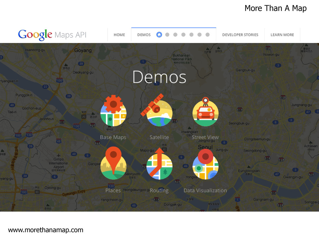
JavaScript and XML) Open API's - Mashups Rapid development – releases every 7-10 days Google Earth Google Maps - Key Innovations http://berglondon.com/projects/hat/
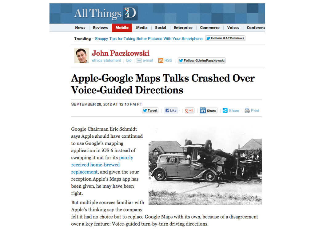
– Google reserves the right to advertise on the map Access – APIs can only be accessed via a Google Map Content – No access to raw vector data Transaction Limits – 25,000 Map loads per day Derivative work – No copying, tracing or other modification Offline – Very limited offline use (Android phones only)
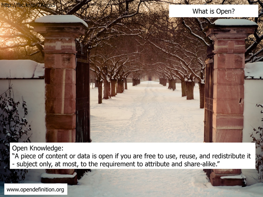
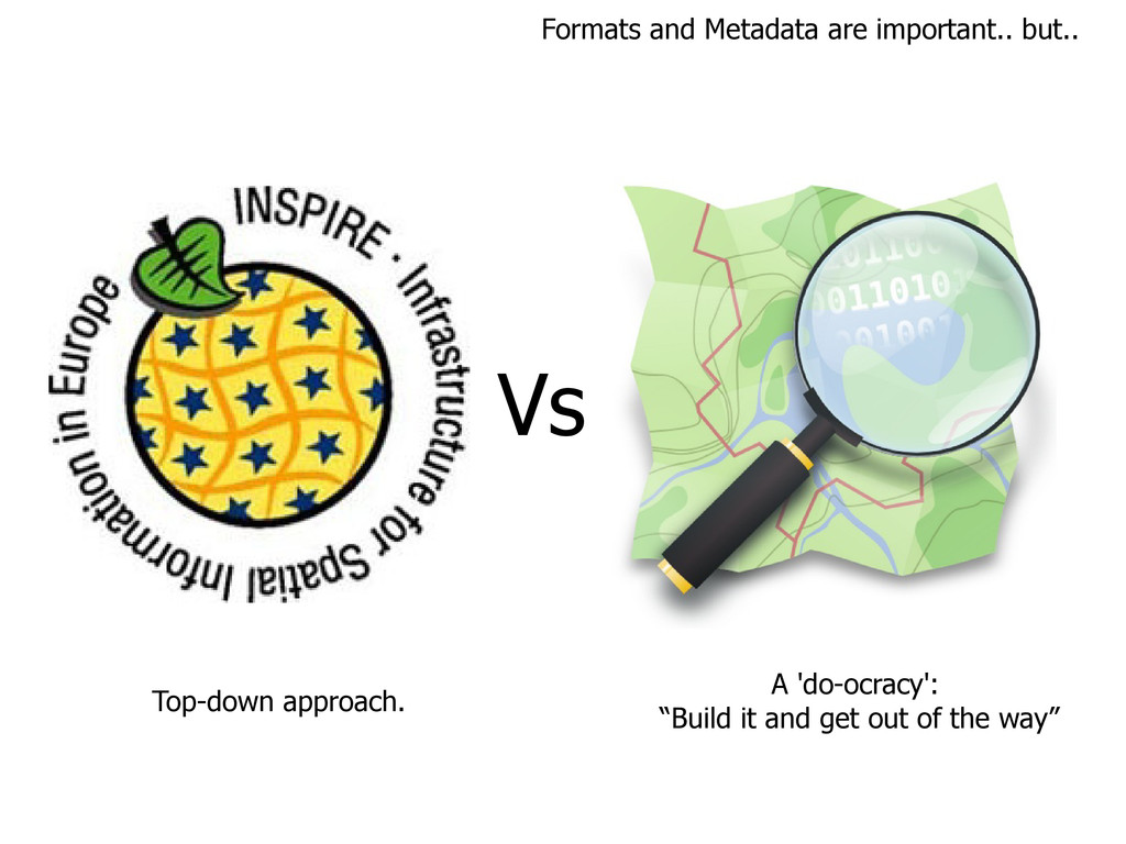
if you are free to use, reuse, and redistribute it - subject only, at most, to the requirement to attribute and share-alike.” www.opendefinition.org What is Open? http://flic.kr/p/7Aqgs5
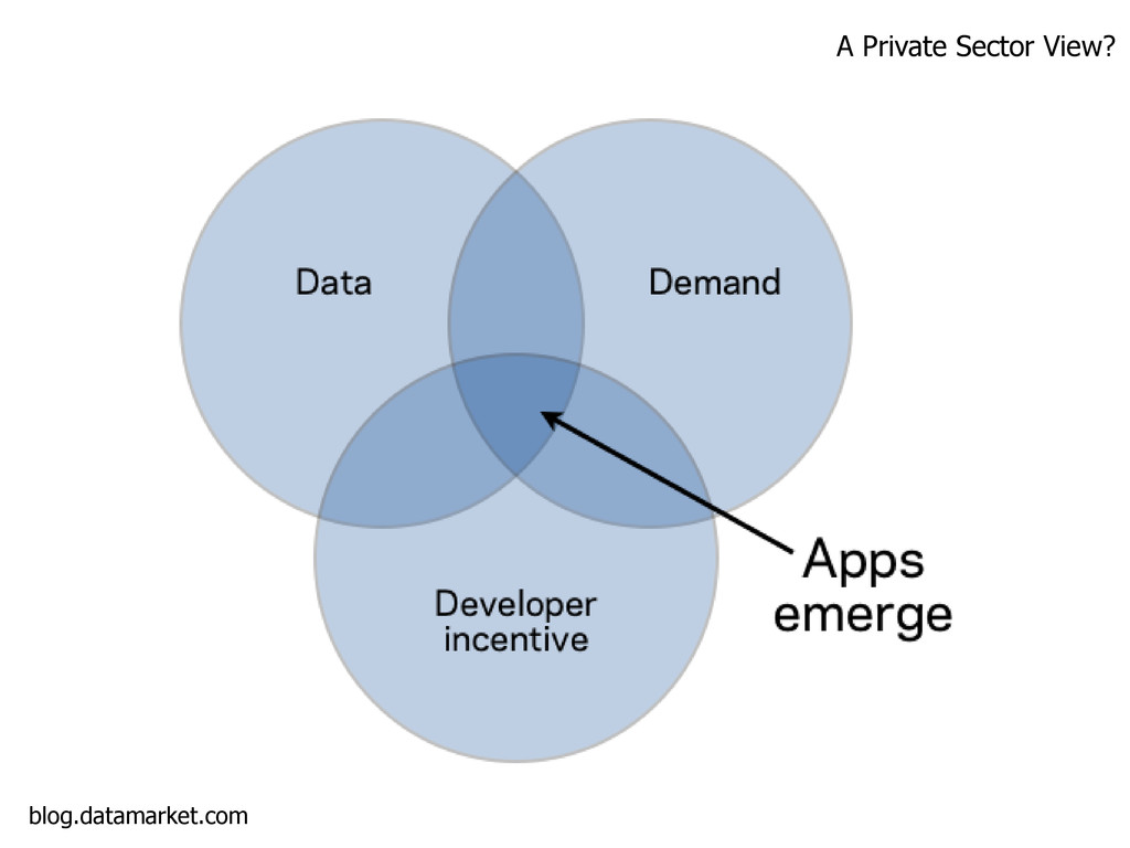
• Improved or new private products and services • Innovation • Improved efficiency & effectiveness of government services • Impact measurement of policies • New knowledge from combined data sources and patterns in large data volumes
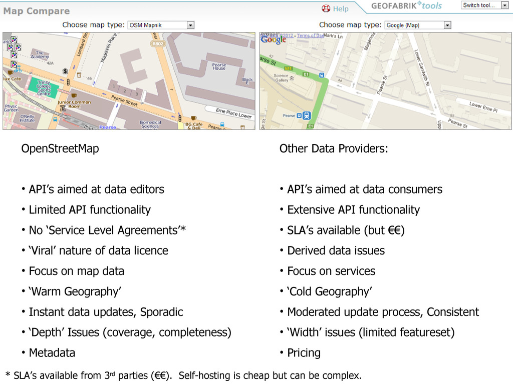
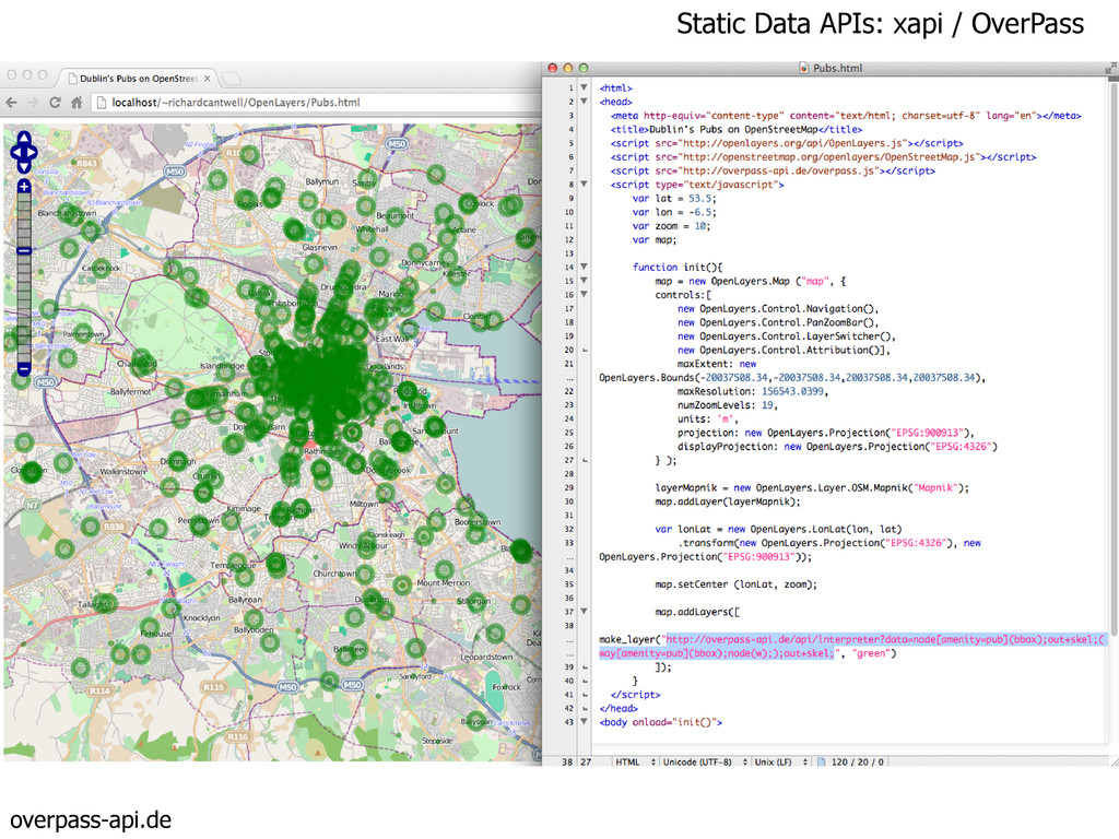
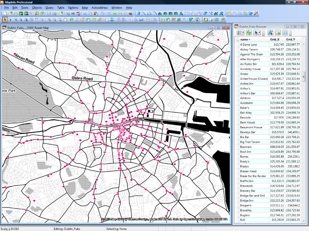
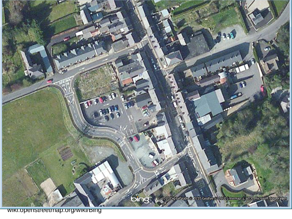
but can be complex. OpenStreetMap • API’s aimed at data editors • Limited API functionality • No ‘Service Level Agreements’* • ‘Viral’ nature of data licence • Focus on map data • ‘Warm Geography’ • Instant data updates, Sporadic • ‘Depth’ Issues (coverage, completeness) • Metadata Other Data Providers: • API’s aimed at data consumers • Extensive API functionality • SLA’s available (but €€) • Derived data issues • Focus on services • ‘Cold Geography’ • Moderated update process, Consistent • ‘Width’ issues (limited featureset) • Pricing
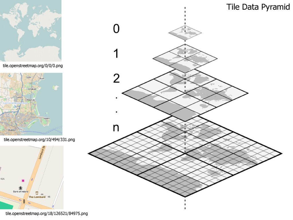
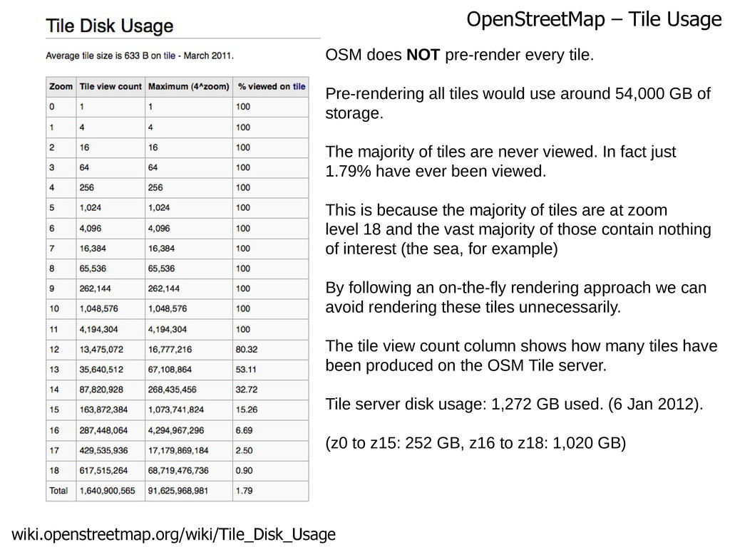
tile. Pre-rendering all tiles would use around 54,000 GB of storage. The majority of tiles are never viewed. In fact just 1.79% have ever been viewed. This is because the majority of tiles are at zoom level 18 and the vast majority of those contain nothing of interest (the sea, for example) By following an on-the-fly rendering approach we can avoid rendering these tiles unnecessarily. The tile view count column shows how many tiles have been produced on the OSM Tile server. Tile server disk usage: 1,272 GB used. (6 Jan 2012). (z0 to z15: 252 GB, z16 to z18: 1,020 GB)