Upgrade to Pro
— share decks privately, control downloads, hide ads and more …
Speaker Deck
Features
Speaker Deck
PRO
Sign in
Sign up for free
Search
Search
GAFFTA Visualizing and Mapping Data, Day Three
Search
migurski
February 15, 2012
910
0
Share
GAFFTA Visualizing and Mapping Data, Day Three
migurski
February 15, 2012
More Decks by migurski
See All by migurski
GAFFTA Visualizing and Mapping Data, Day Four
migurski
0
790
GAFFTA Visualizing and Mapping Data, Day Two
migurski
2
140
GAFFTA Visualizing and Mapping Data, Day One
migurski
0
190
Featured
See All Featured
Noah Learner - AI + Me: how we built a GSC Bulk Export data pipeline
techseoconnect
PRO
0
190
[Rails World 2023 - Day 1 Closing Keynote] - The Magic of Rails
eileencodes
38
2.9k
Visualization
eitanlees
152
17k
HDC tutorial
michielstock
2
680
Producing Creativity
orderedlist
PRO
348
40k
Dealing with People You Can't Stand - Big Design 2015
cassininazir
367
27k
Between Models and Reality
mayunak
4
320
Measuring & Analyzing Core Web Vitals
bluesmoon
9
850
My Coaching Mixtape
mlcsv
0
140
jQuery: Nuts, Bolts and Bling
dougneiner
66
8.5k
How Software Deployment tools have changed in the past 20 years
geshan
0
34k
Writing Fast Ruby
sferik
630
63k
Transcript
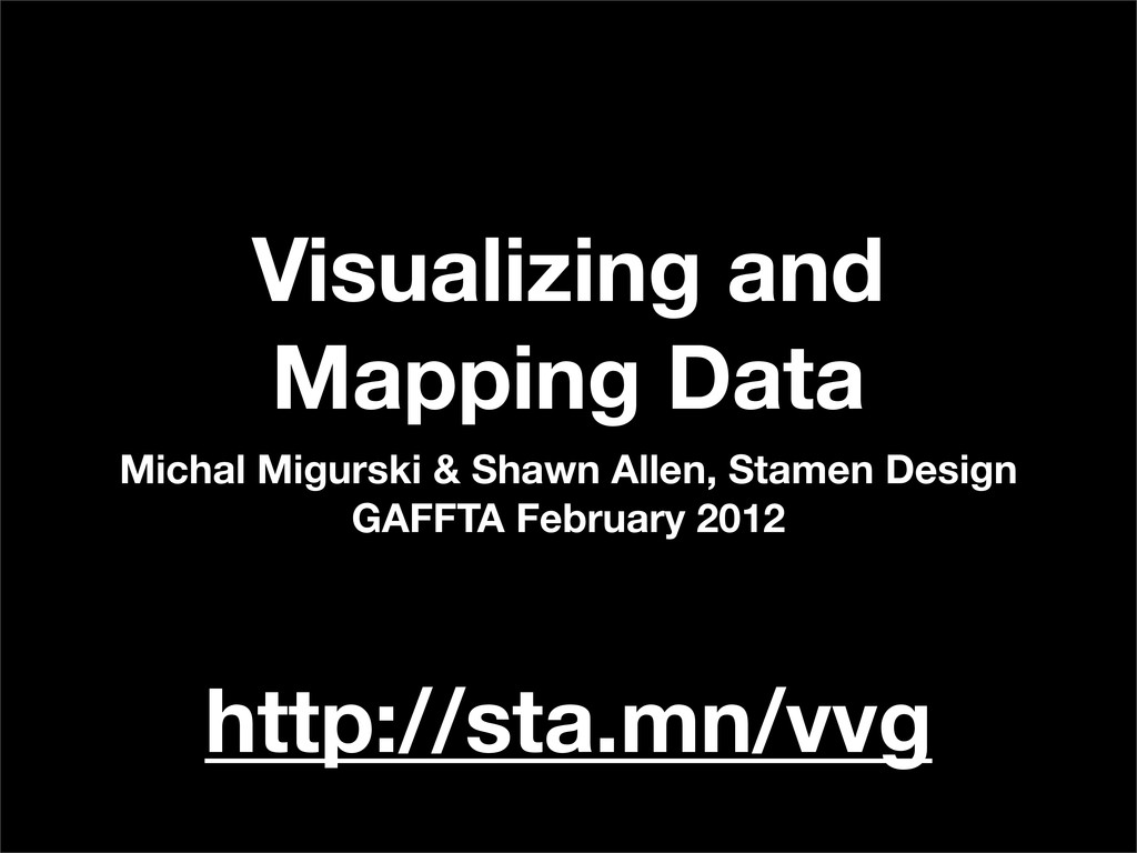
Visualizing and Mapping Data Michal Migurski & Shawn Allen, Stamen
Design GAFFTA February 2012 http://sta.mn/vvg
Day Three: Cartography
None
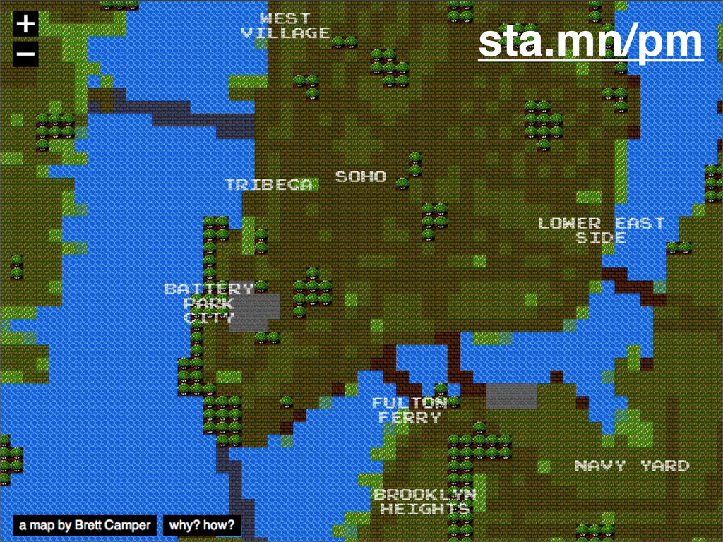
sta.mn/pm
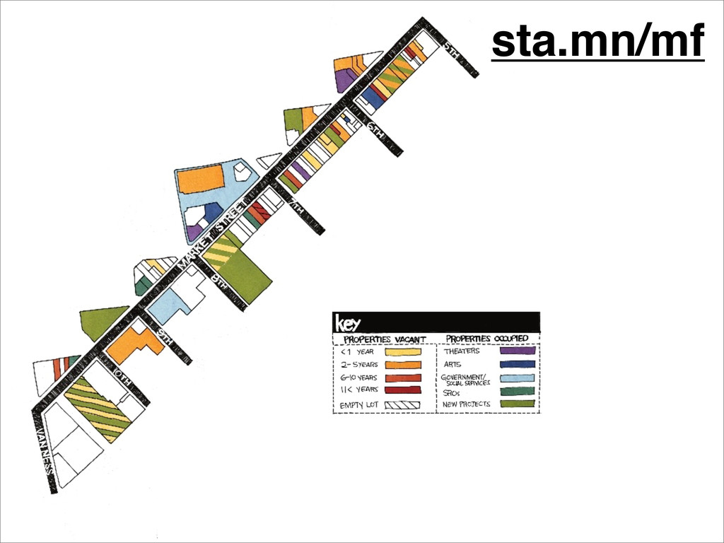
sta.mn/mf
mapy.cz
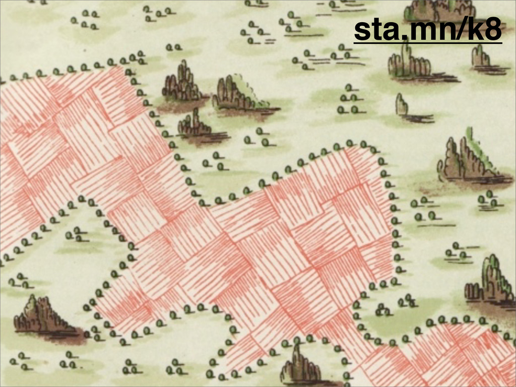
sta.mn/k8
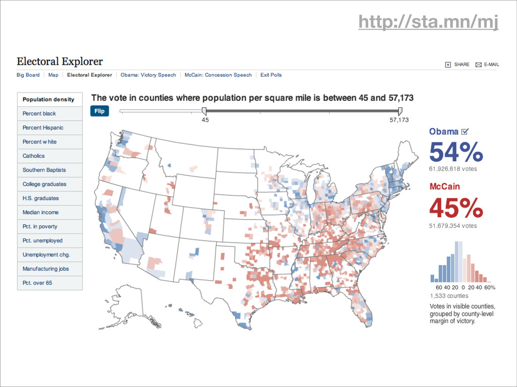
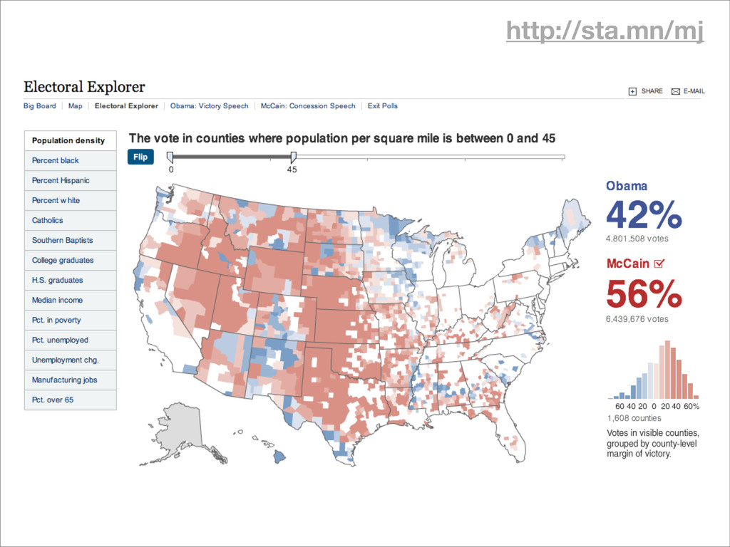
http://sta.mn/mj
http://sta.mn/mj
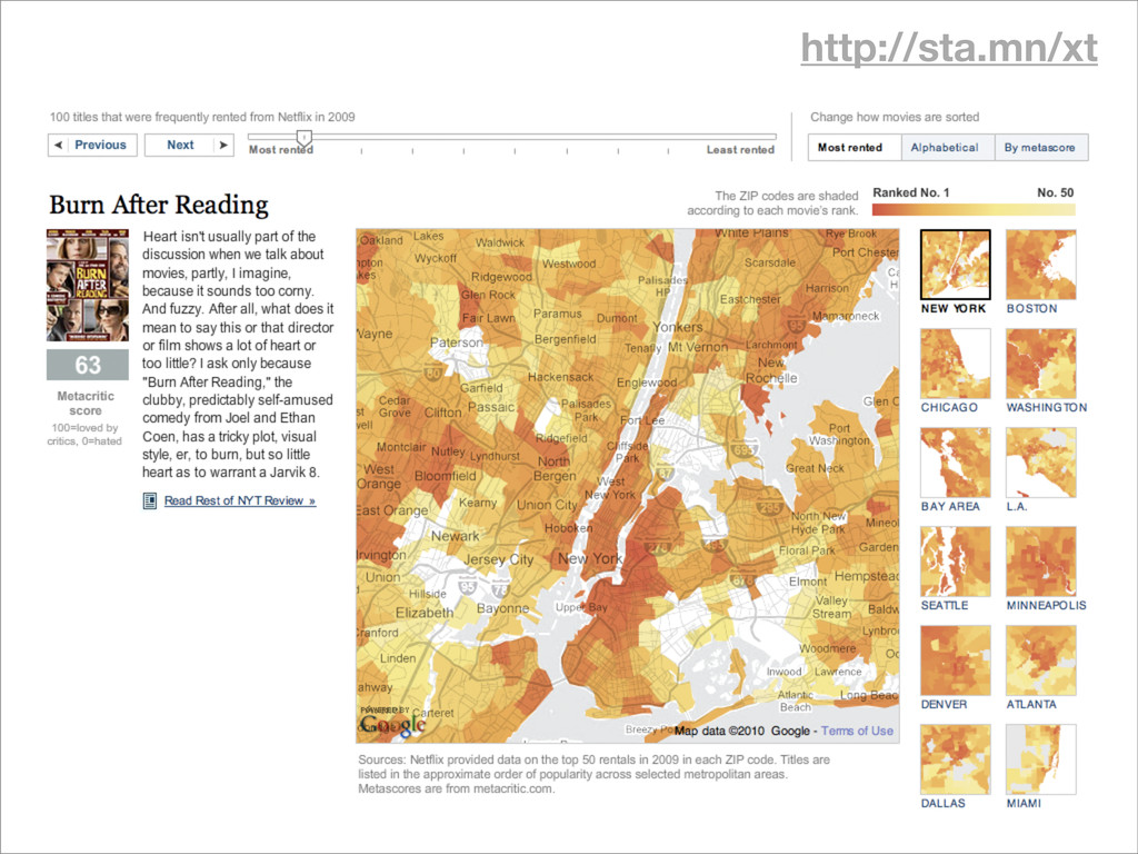
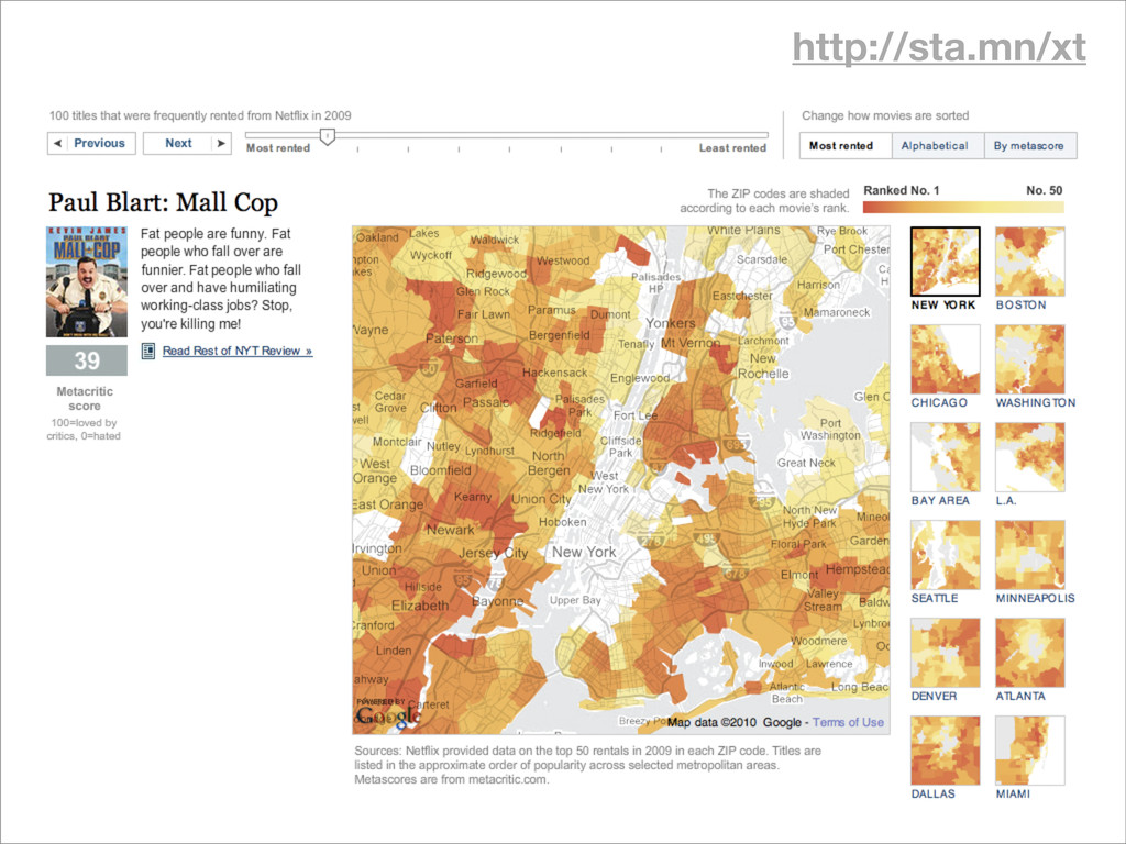
http://sta.mn/xt
http://sta.mn/xt
None
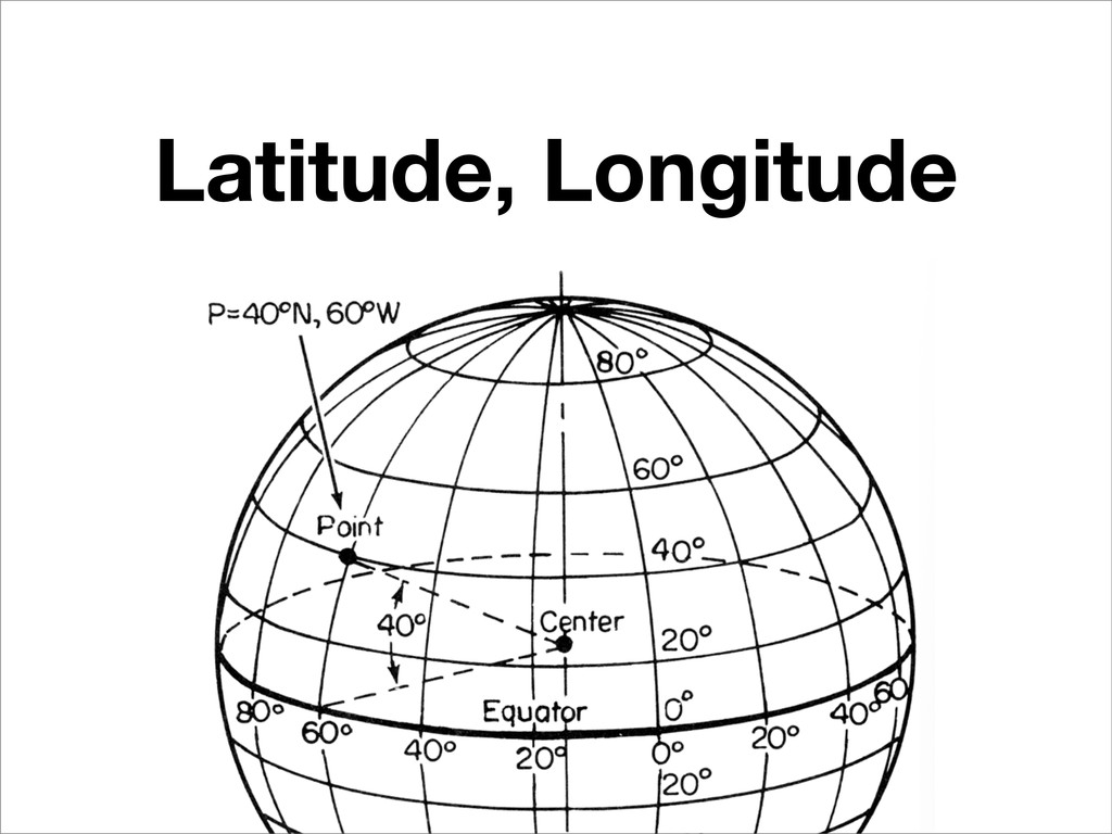
Projection Flattening the globe onto a flat screen
Latitude, Longitude
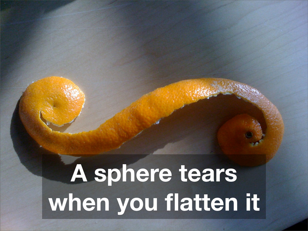
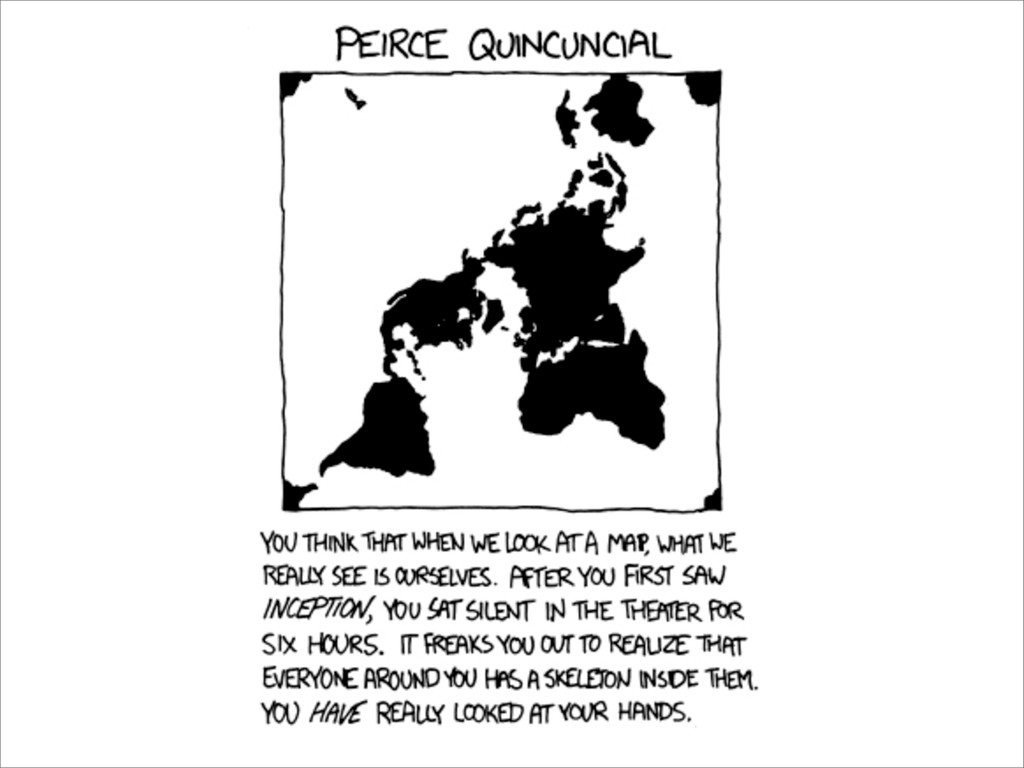
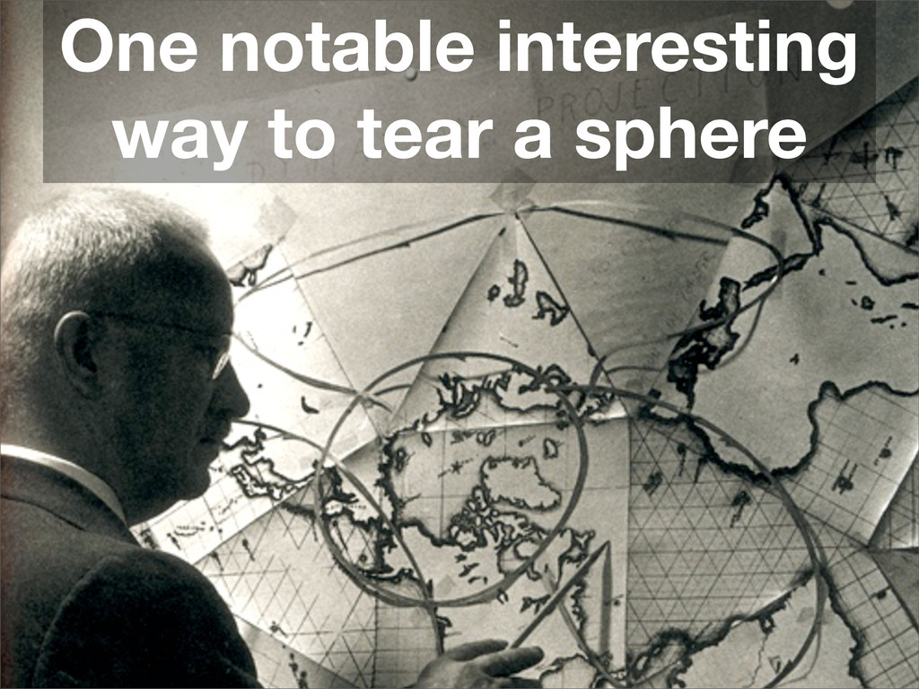
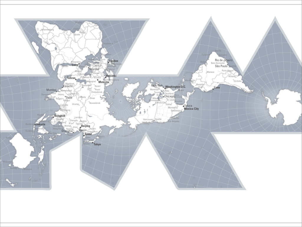
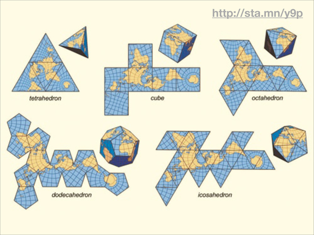
A sphere tears when you flatten it
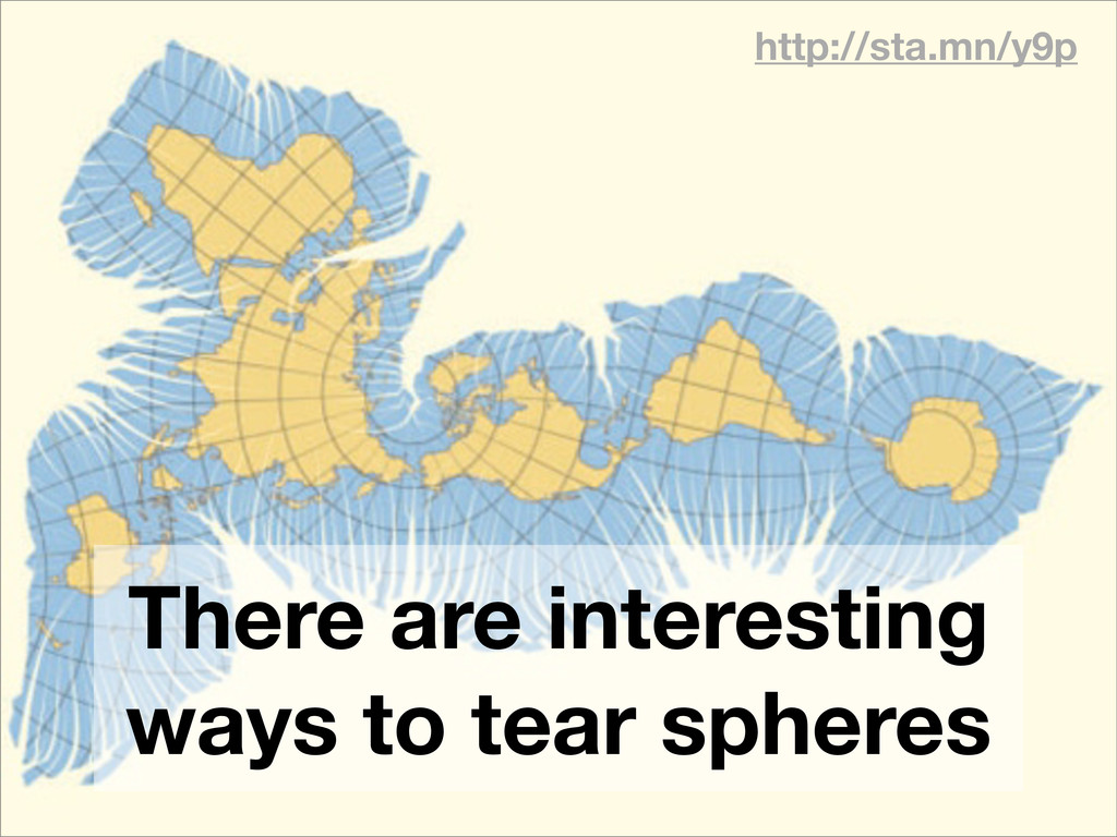
http://sta.mn/y9p There are interesting ways to tear spheres
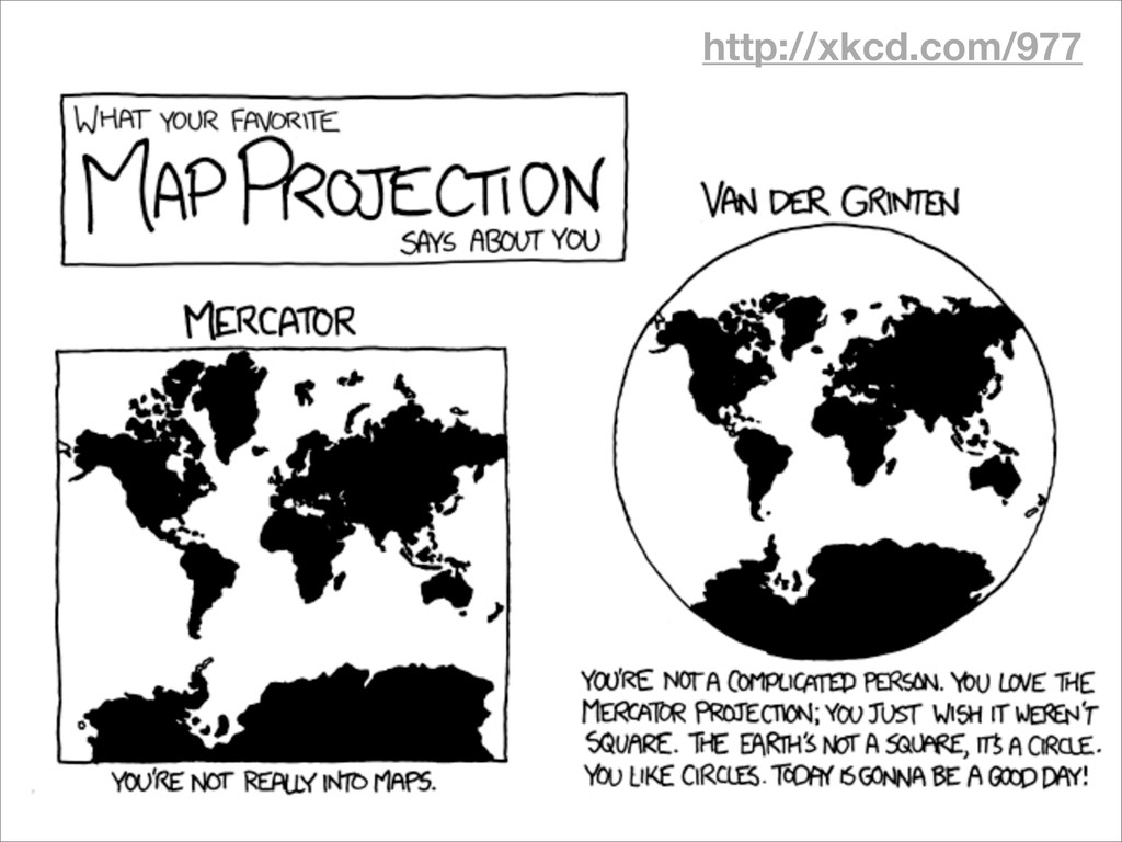
http://xkcd.com/977
None
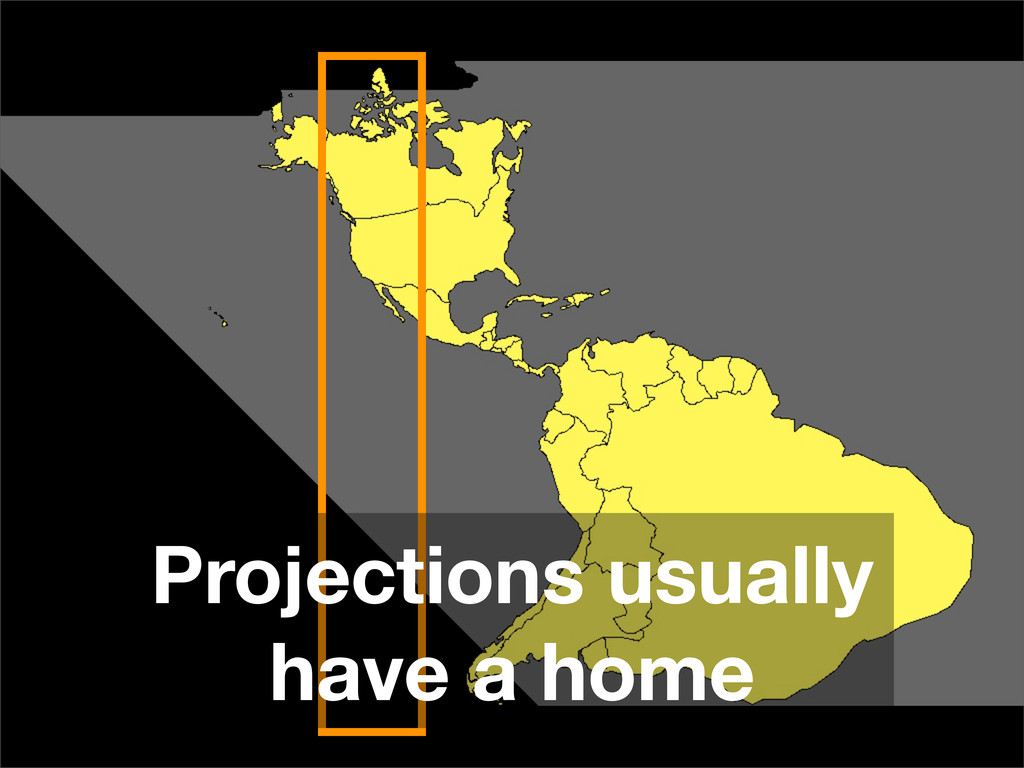
Projections usually have a home
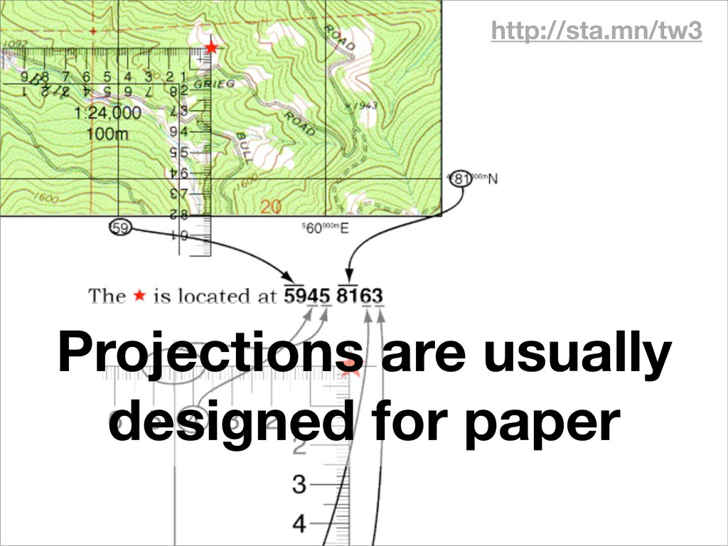
http://sta.mn/tw3 Projections are usually designed for paper
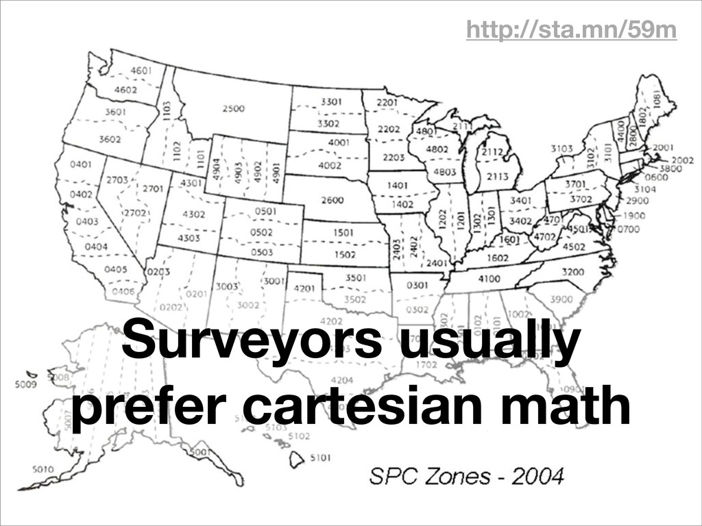
http://sta.mn/59m Surveyors usually prefer cartesian math
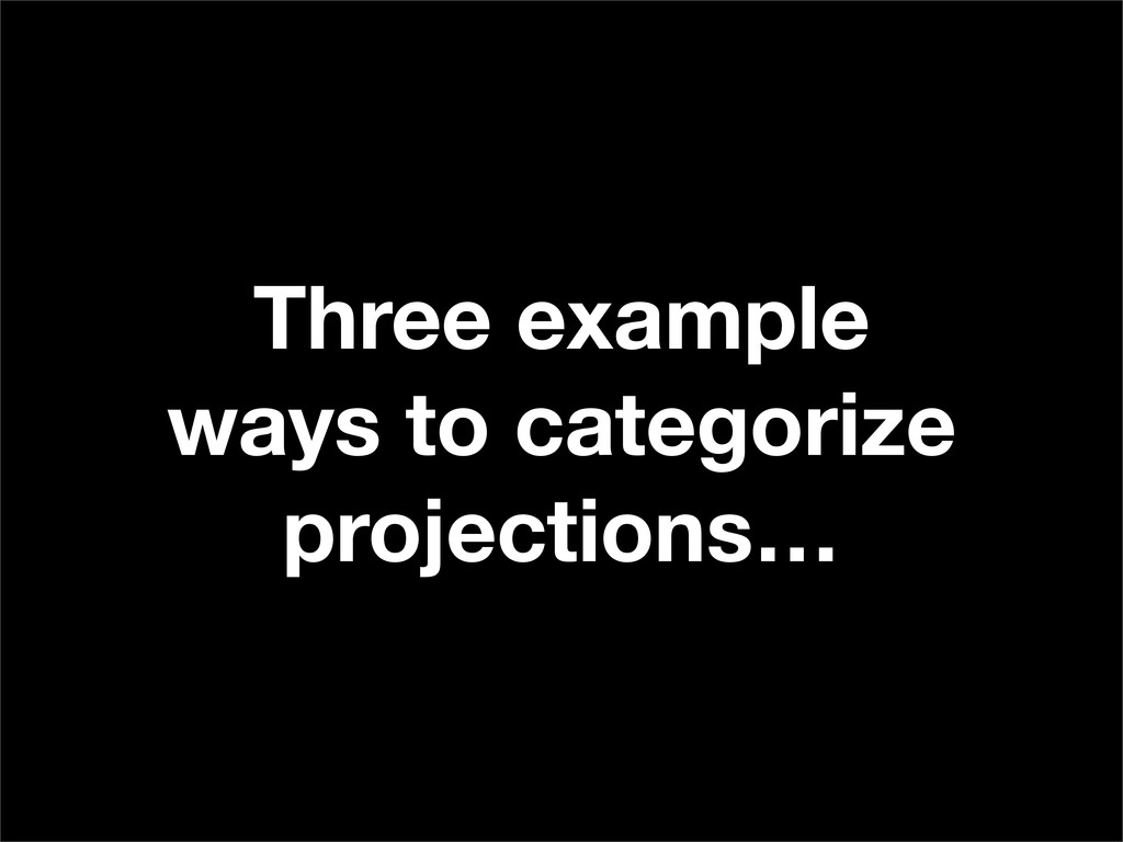
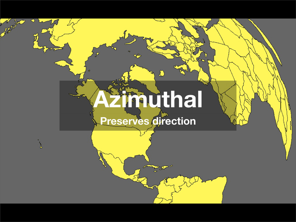
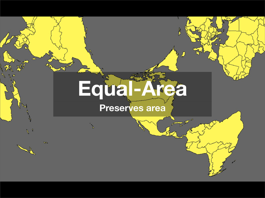
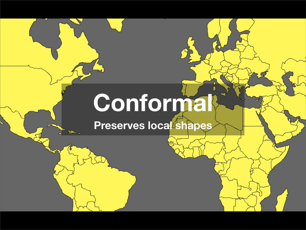
Three example ways to categorize projections…
Azimuthal Preserves direction
Equal-Area Preserves area
Conformal Preserves local shapes
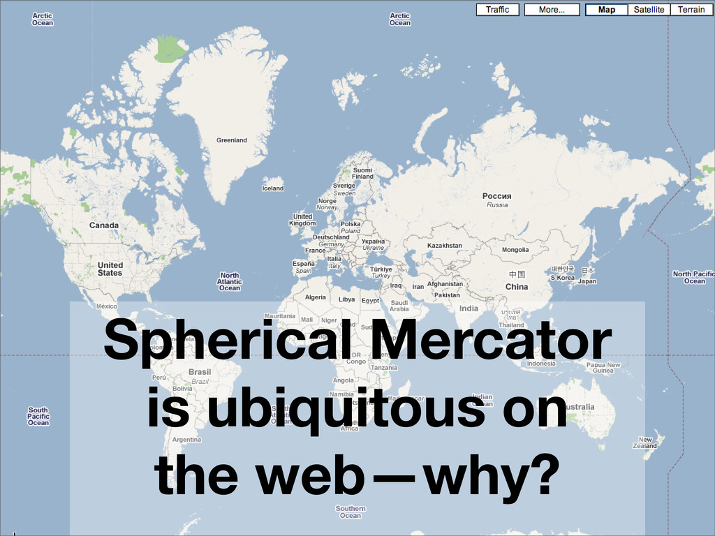
Spherical Mercator is ubiquitous on the web—why?
One notable interesting way to tear a sphere
None
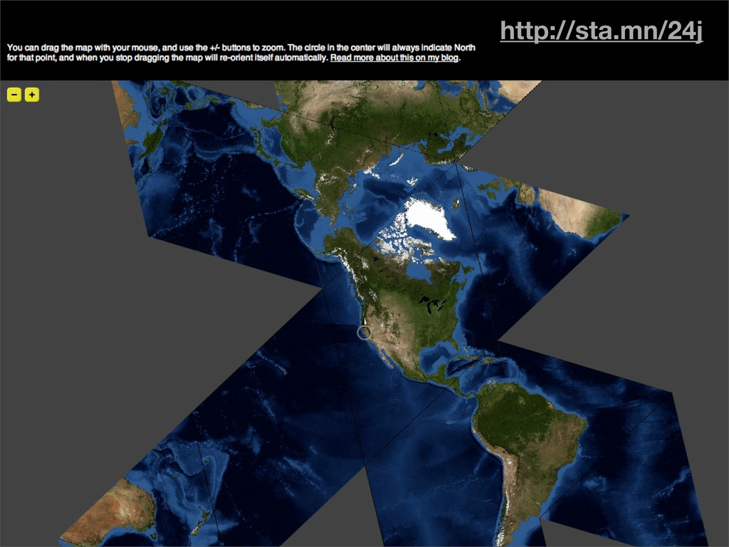
http://sta.mn/y9p
http://sta.mn/24j
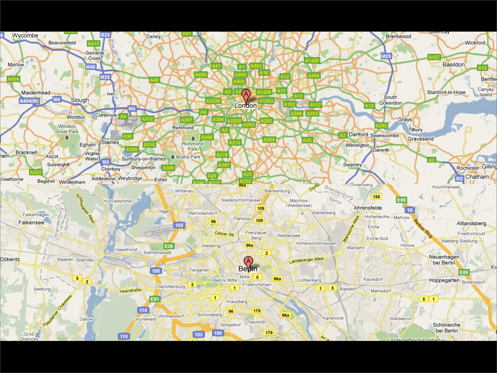
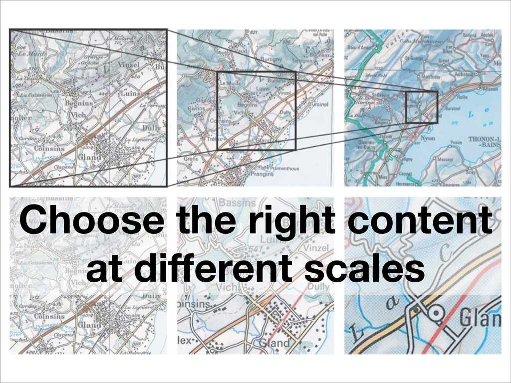
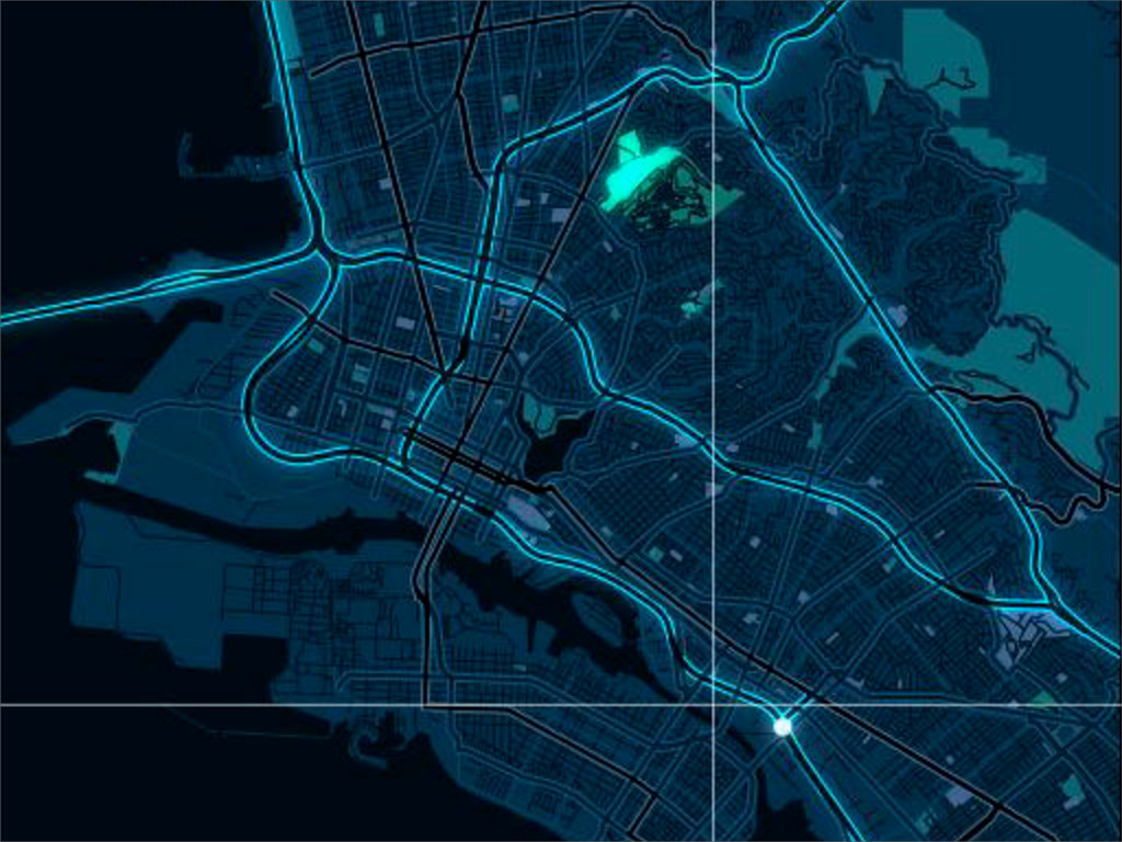
Scale How big is your map?
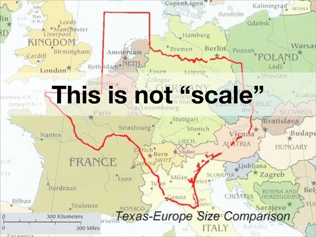
This is not “scale”
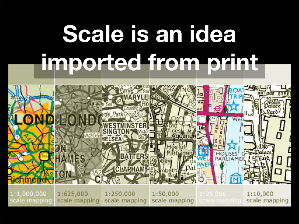
Scale is an idea imported from print
Choose the right content at different scales
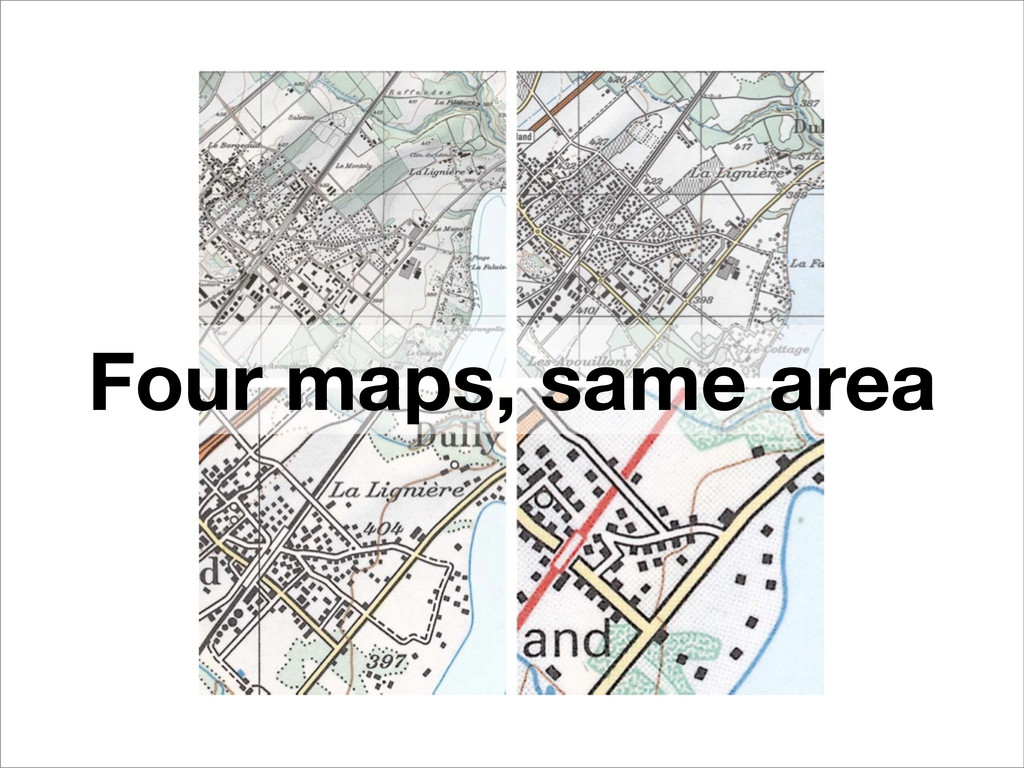
Four maps, same area
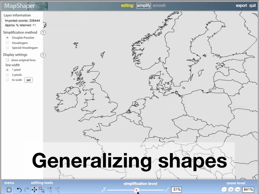
Generalizing shapes
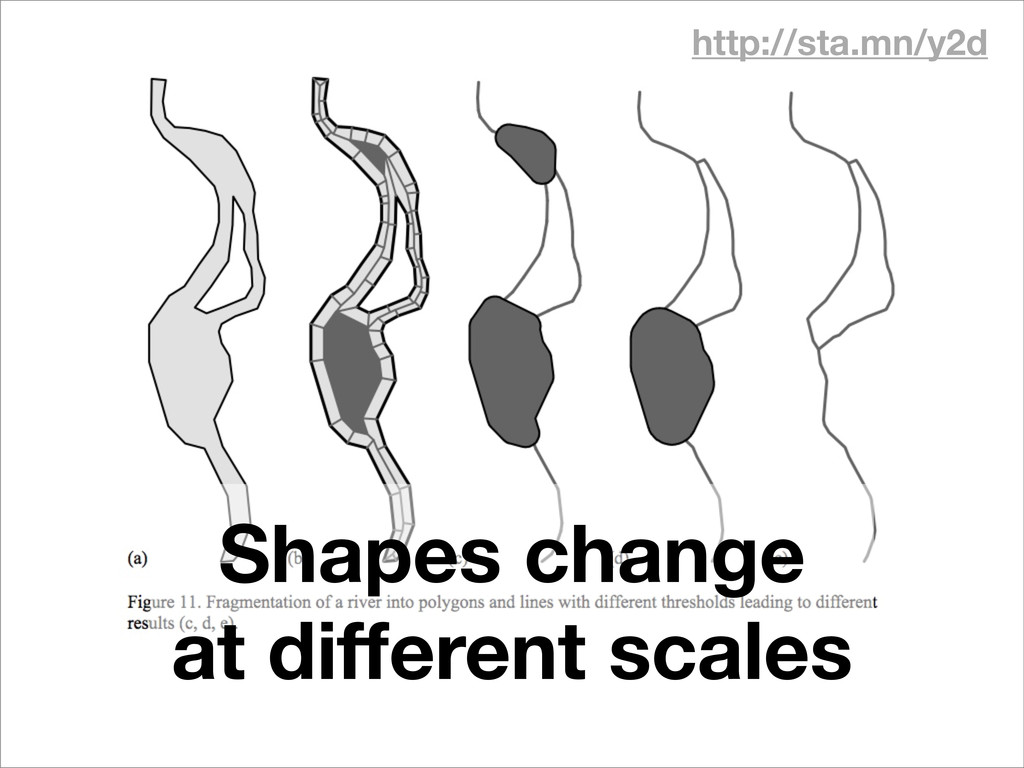
http://sta.mn/y2d Shapes change at different scales
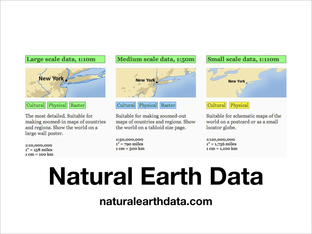
Data Where data for maps comes from
Natural Earth Data naturalearthdata.com
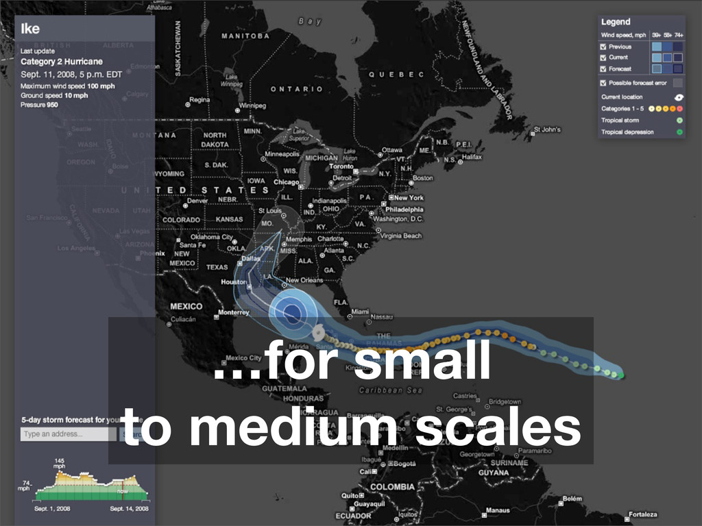
…for small to medium scales
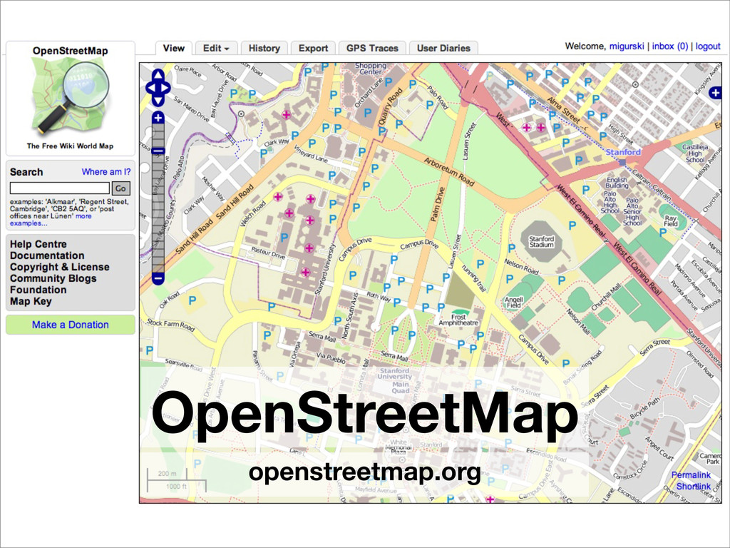
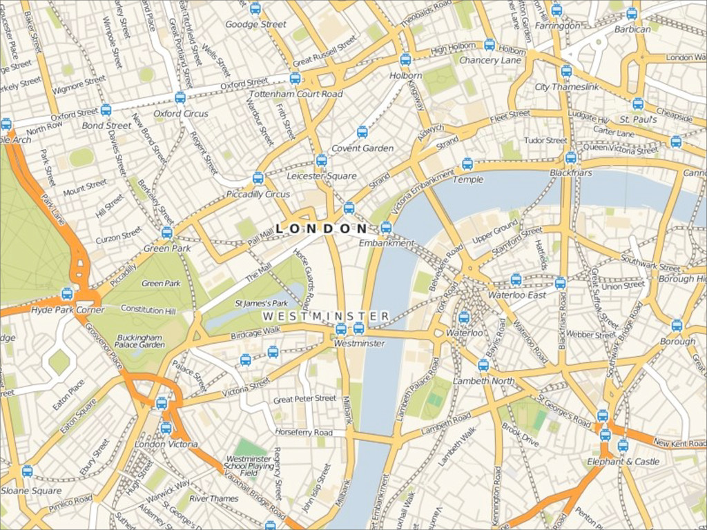
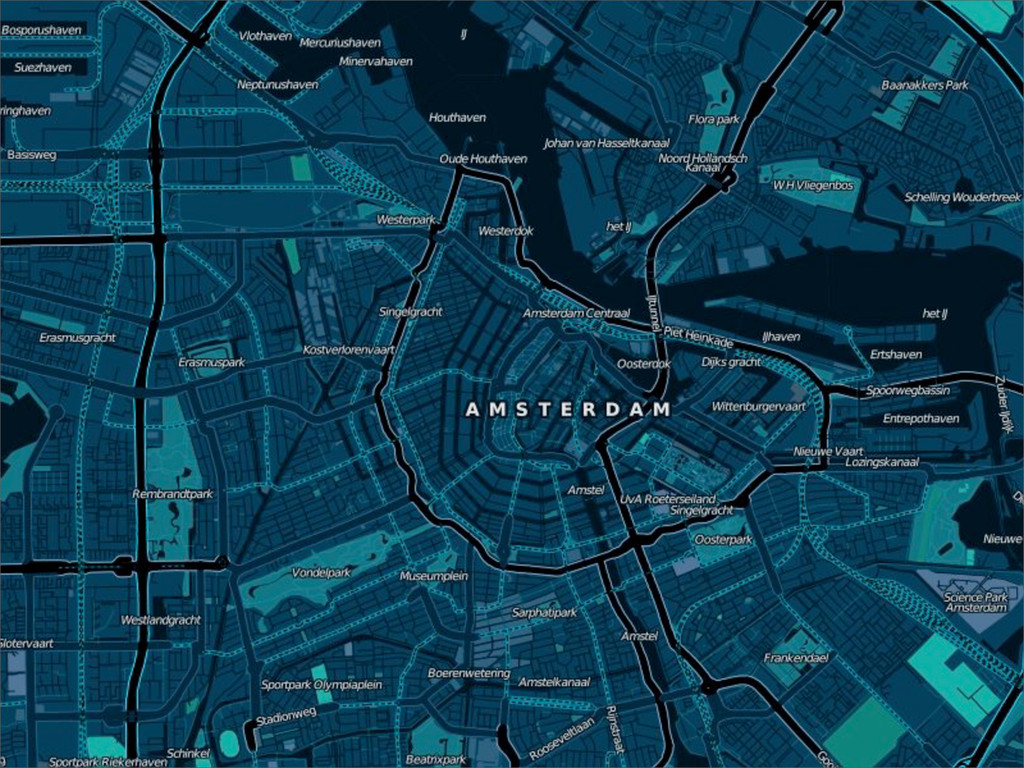
OpenStreetMap openstreetmap.org
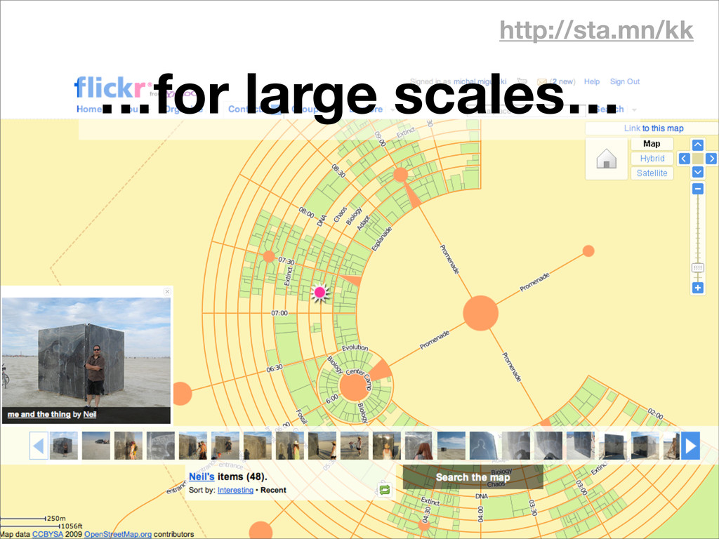
http://sta.mn/kk …for large scales…
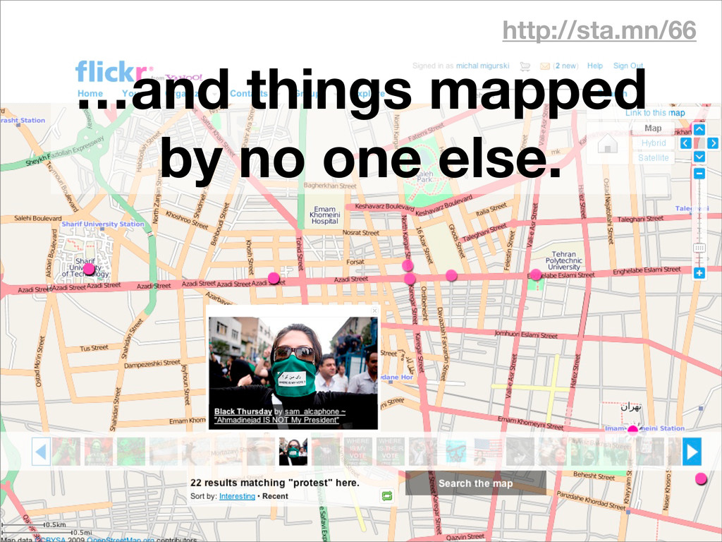
http://sta.mn/66 …and things mapped by no one else.
http://sta.mn/vc
http://sta.mn/fy
None
None
None
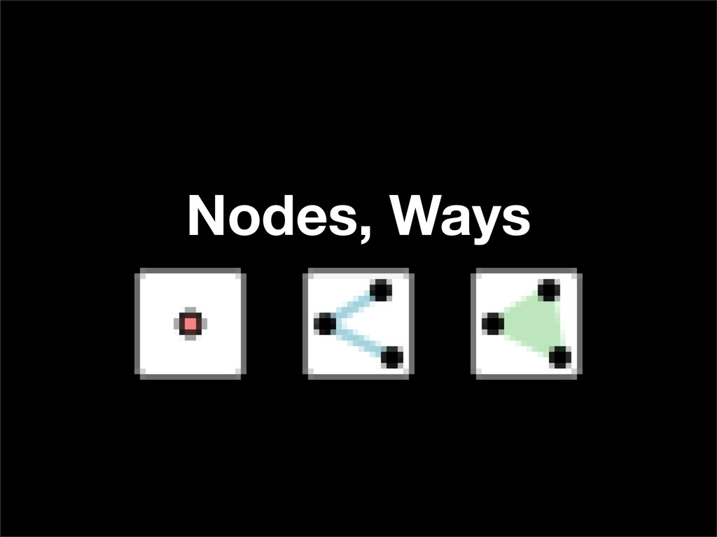
Nodes, Ways
Tags “You can use any tags you like as long
as the values are verifiable. However, there is a benefit in agreeing to a recommended set of features and corresponding tags.” — http://sta.mn/st
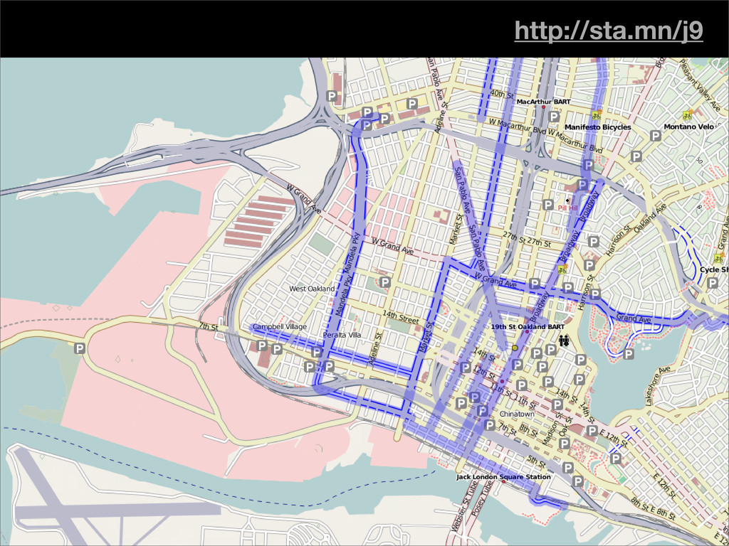
http://sta.mn/j9
Follow along… http://sta.mn/vvg