$30 off During Our Annual Pro Sale. View Details »

NACIS 2015: Starting Conversations for More Accessible Maps

Kitty Hurley
October 15, 2015
330

NACIS 2015: Starting Conversations for More Accessible Maps

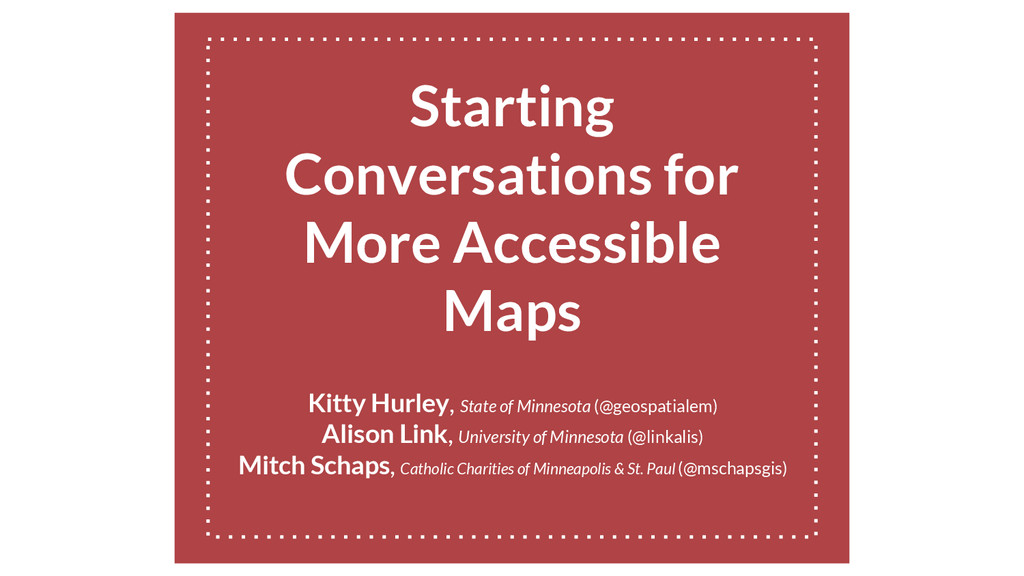
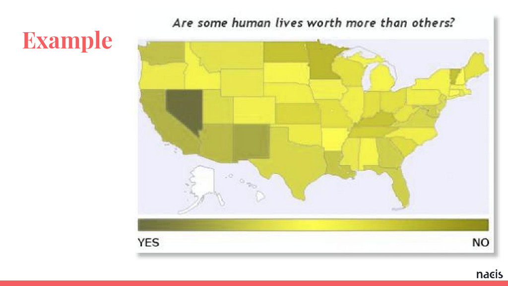
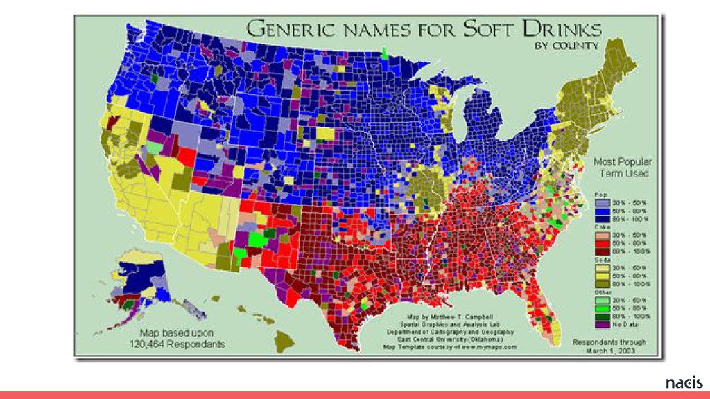
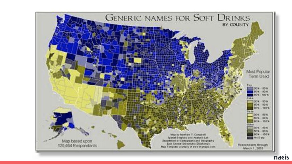
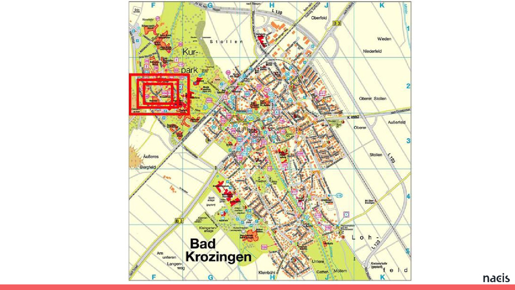
A set of guidelines for developers, cartographers, GIS specialists, geographers, and civic hackers to consider when creating projects that include web maps.

Presented by: Kitty Hurley, Alison Link, and Mitch Schaps at the 2015 NACIS Conference in Minneapolis, Minnesota.

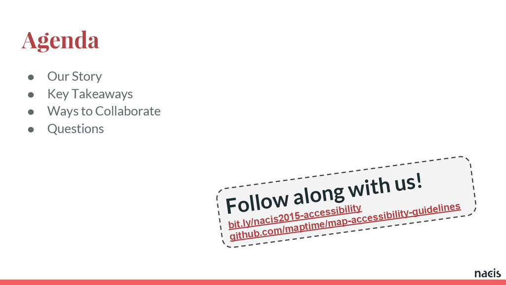
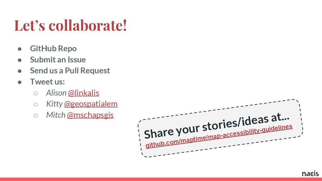
GitHub: http://www.github.com/maptime/map-accessibility-guidelines

Kitty Hurley

October 15, 2015
Tweet

Transcript

  1. Starting
    Conversations for
    More Accessible
    Maps
    Kitty Hurley, State of Minnesota (@geospatialem)
    Alison Link, University of Minnesota (@linkalis)
    Mitch Schaps, Catholic Charities of Minneapolis & St. Paul (@mschapsgis)

    View Slide

  2. Agenda
    ● Our Story
    ● Key Takeaways
    ● Ways to Collaborate
    ● Questions
    Follow along with us!
    bit.ly/nacis2015-accessibility
    github.com/maptime/map-accessibility-guidelines

    View Slide

  3. Our Story
    ● Who are we?
    ● Why are we interested in this?
    ● How does this impact you?

    View Slide

  4. Takeaway #1
    Design for a diverse set of users.

    View Slide

  5. Takeaway #1 Cont.
    ● Recognize that the very idea of a “map” is a culturally-loaded concept
    ● Appreciate that people perceive space in very different ways:
    ○ allocentric = abstract, birds’-eye-view
    ○ egocentric = starting from the self as a reference frame
    ○ “maps” vs. “routes” preferences

    View Slide

  6. Takeaway #2
    Design can kill your message.

    View Slide

  7. Takeaway #2 Cont.
    ● Choosing the wrong color scheme can alienate a large portion of your potential
    audience.
    ● Also, your choice of color/design can make your maps hard to comprehend for
    everyone
    ● Simpler is always better

    View Slide

  8. Example

    View Slide

  9. Example

    View Slide

  10. View Slide

  11. View Slide

  12. View Slide

  13. View Slide

  14. View Slide

  15. View Slide

  16. View Slide

  17. Takeaway #3
    Accessibility is not a barrier to
    innovation.

    View Slide

  18. Takeaway #3 Cont.
    ● Usability first, accessibility next.
    ● Design/Organization
    ● Mobile
    ● Focus

    View Slide

  19. Takeaway #3 Cont.
    ● Usability first, accessibility next.
    ● Design/Organization
    ● Mobile
    ● Focus

    View Slide

  20. Takeaway #3 Cont.
    ● Usability first, accessibility next.
    ● Design/Organization
    ● Mobile
    ● Focus

    View Slide

  21. Takeaway #3 Cont.
    ● Usability first, accessibility next.
    ● Design/Organization
    ● Mobile
    ● Focus

    View Slide

  22. Takeaway #3 Cont.
    ● Usability first, accessibility next.
    ● Design/Organization
    ● Mobile
    ● Focus

    View Slide

  23. Let’s collaborate!
    ● GitHub Repo
    ● Submit an Issue
    ● Send us a Pull Request
    ● Tweet us:
    ○ Alison @linkalis
    ○ Kitty @geospatialem
    ○ Mitch @mschapsgis
    Share your stories/ideas at...
    github.com/maptime/map-accessibility-guidelines

    View Slide

  24. Questions?

    View Slide

  25. Thank you!
    Kitty Hurley, State of Minnesota (@geospatialem)
    Alison Link, University of Minnesota (@linkalis)
    Mitch Schaps, Catholic Charities of Minneapolis & St. Paul (@mschapsgis)
    bit.ly/nacis2015-accessibility
    github.com/maptime/map-accessibility-guidelines

    View Slide