Upgrade to Pro
— share decks privately, control downloads, hide ads and more …
Speaker Deck
Sign up for free
Menu
Search
Features
All features
Private URLs
Password Protection
Custom URLS
Scheduled publishing
Remove Branding
Restrict embedding
Deck Collections
Notes
Features
All features
Private URLs
Password Protection
Custom URLS
Scheduled publishing
Remove Branding
Restrict embedding
Deck Collections
Notes
Explore
Featured decks
Featured speakers
Programming
Technology
Storyboards
Explore
Featured decks
Featured speakers
Programming
Technology
Storyboards
Pricing
Search
Sign in
Sign up for free
MapBox Workshop at Yale
Search
Nate Smith
April 12, 2013
61
1
Share
Embed
Copy iframe code
Copy JS code
Copy link
Start on current slide
MapBox Workshop at Yale
Nate Smith
April 12, 2013
Featured
See All Featured
jQuery: Nuts, Bolts and Bling
dougneiner
66
8.6k
Reflections from 52 weeks, 52 projects
jeffersonlam
356
22k
Odyssey Design
rkendrick25
PRO
2
870
Fireside Chat
paigeccino
43
4.1k
Connecting the Dots Between Site Speed, User Experience & Your Business [WebExpo 2025]
tammyeverts
11
1.1k
How to Ace a Technical Interview
jacobian
280
24k
Documentation Writing (for coders)
carmenintech
77
5.6k
How to Talk to Developers About Accessibility
jct
2
580
Abbi's Birthday
coloredviolet
4
10k
コードの90%をAIが書く世界で何が待っているのか / What awaits us in a world where 90% of the code is written by AI
rkaga
63
46k
Sam Torres - BigQuery for SEOs
techseoconnect
PRO
0
580
Building Flexible Design Systems
yeseniaperezcruz
330
41k
Transcript
@ Yale @nas_smith Friday, April 26, 13
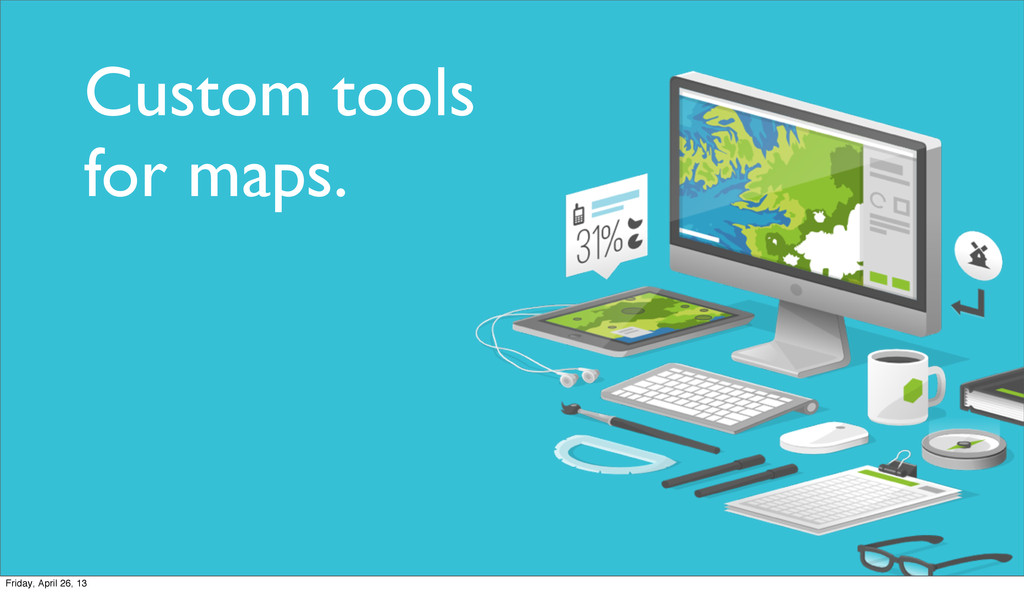
Custom tools for maps. Friday, April 26, 13
Friday, April 26, 13
Friday, April 26, 13
Friday, April 26, 13
Friday, April 26, 13
Friday, April 26, 13
Friday, April 26, 13
Friday, April 26, 13
Friday, April 26, 13
Friday, April 26, 13
Friday, April 26, 13
Friday, April 26, 13
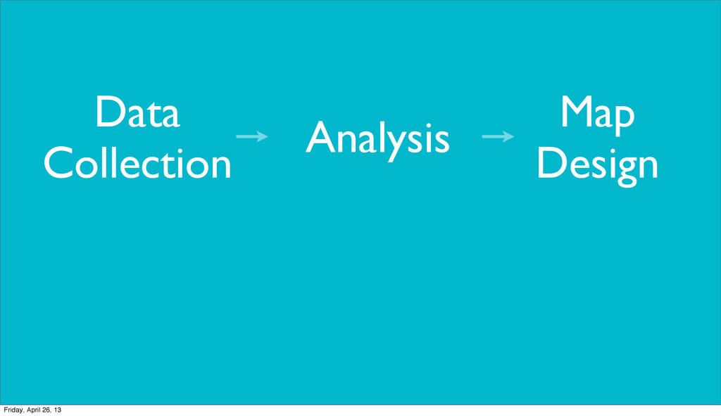
Analysis Map Design Data Collection Friday, April 26, 13
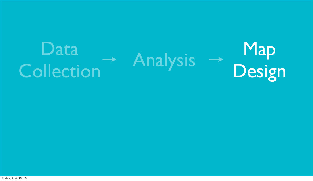
Analysis Map Design Data Collection Friday, April 26, 13
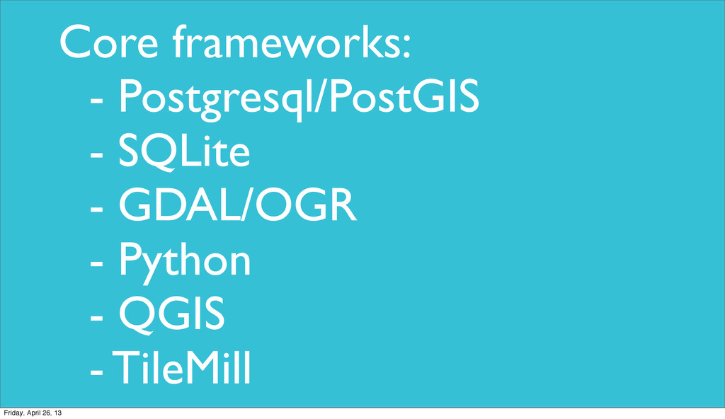
Core frameworks: - Postgresql/PostGIS - SQLite - GDAL/OGR - Python
- QGIS - TileMill Friday, April 26, 13
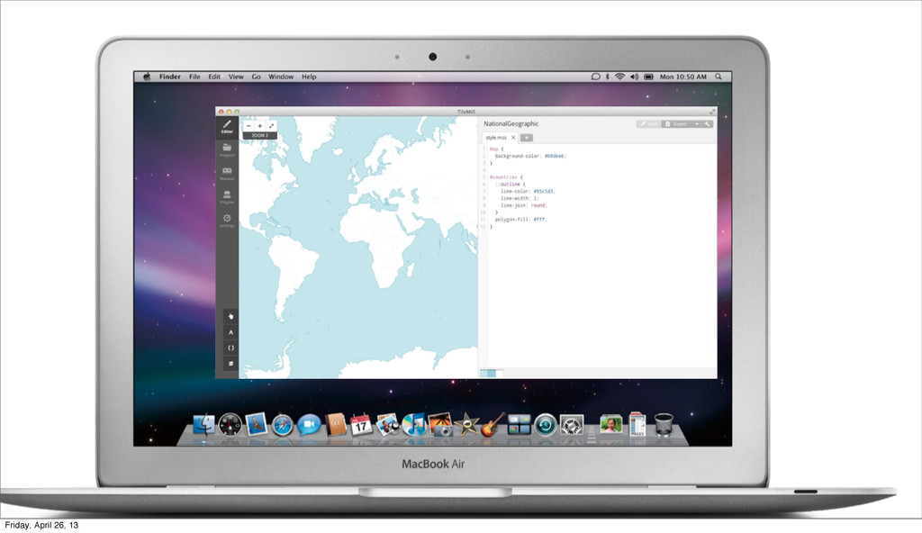
Experimenting in how to make it easier to publish maps.
Friday, April 26, 13
Friday, April 26, 13
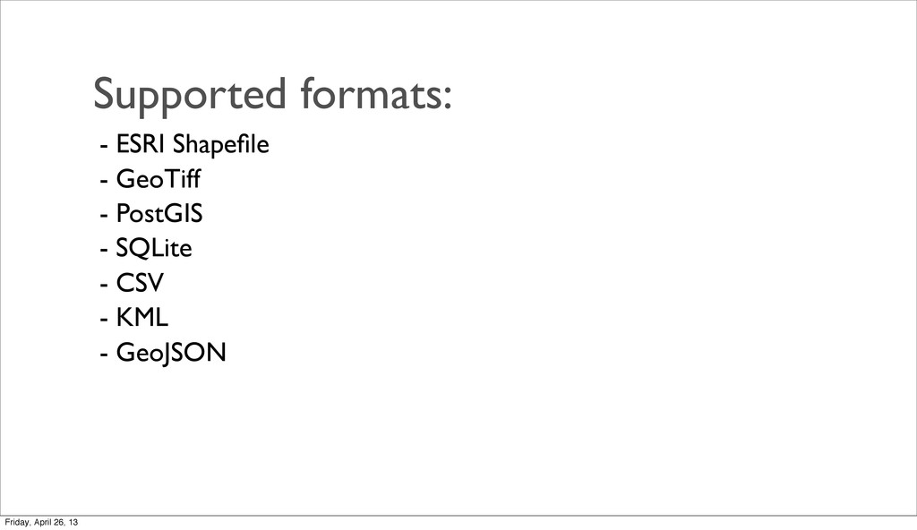
Supported formats: - ESRI Shapefile - GeoTiff - PostGIS -
SQLite - CSV - KML - GeoJSON Friday, April 26, 13
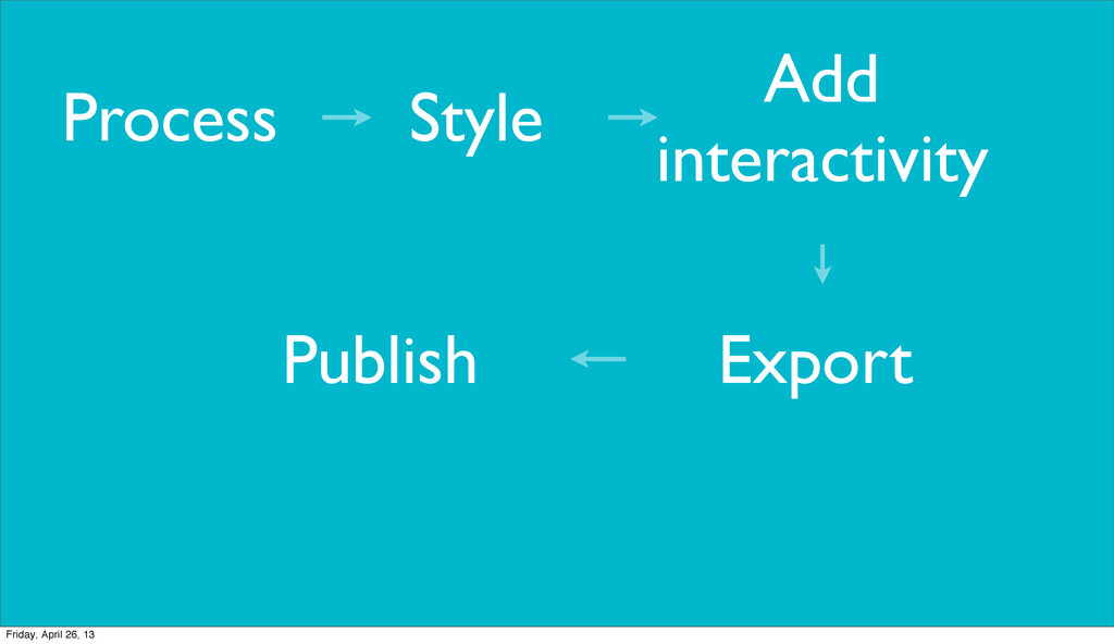
Style Add interactivity Process Export Publish Friday, April 26, 13
Quick tour... Friday, April 26, 13
Friday, April 26, 13
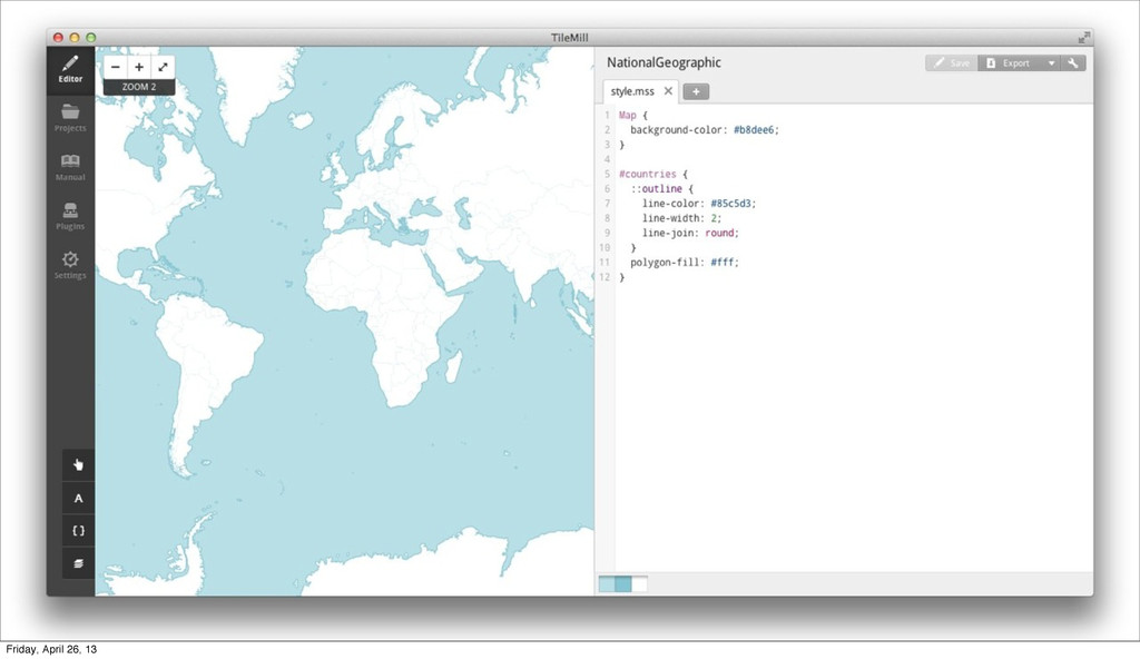
CartoCSS Friday, April 26, 13
Carto is code. Friday, April 26, 13
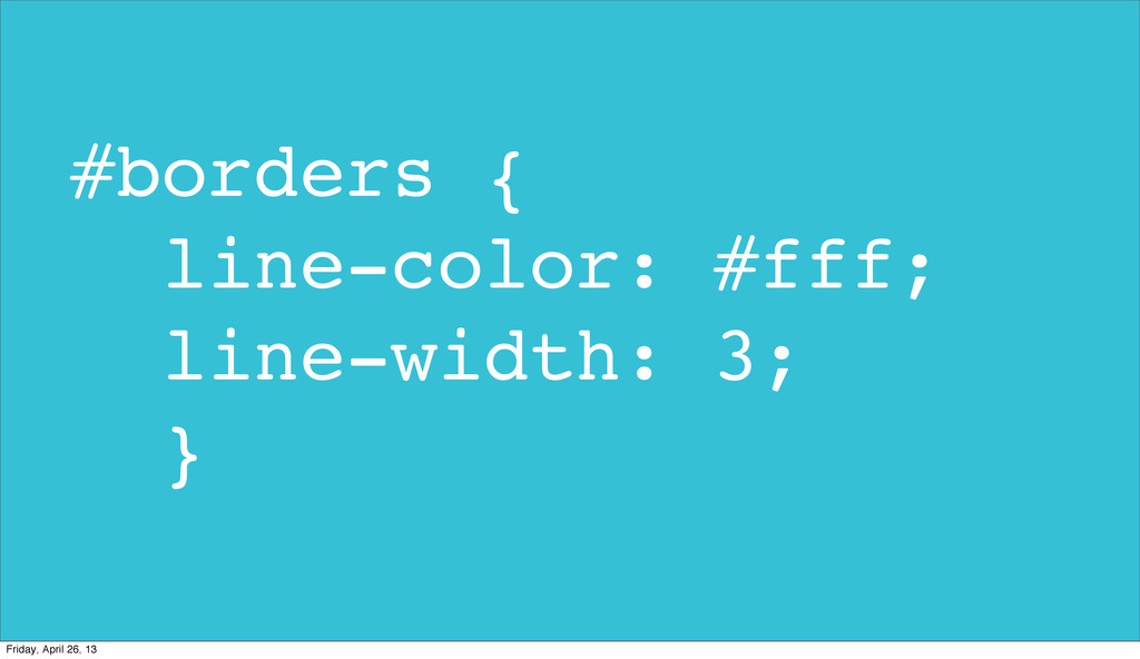
#borders { line-color: #fff; line-width: 3; } Friday, April 26,
13
Carto is like CSS. Friday, April 26, 13
Multiple styles for each layer. Friday, April 26, 13
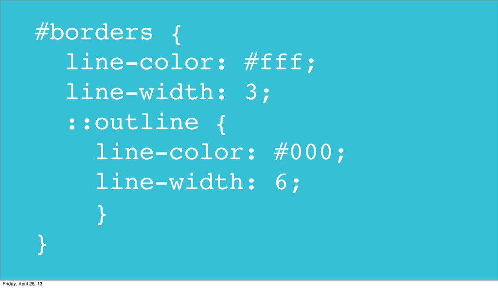
#borders { line-color: #fff; line-width: 3; ::outline { line-color: #000;
line-width: 6; } } Friday, April 26, 13
Define variables. Friday, April 26, 13
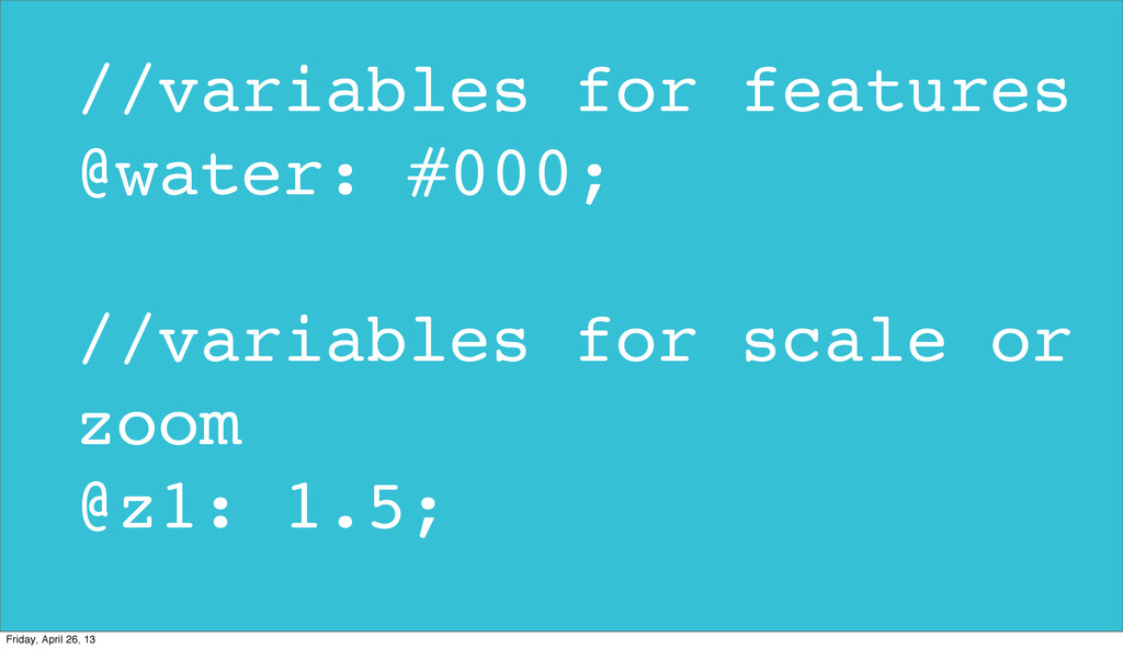
//variables for features @water: #000; //variables for scale or zoom
@z1: 1.5; Friday, April 26, 13
Raster pixels can be colored. Friday, April 26, 13
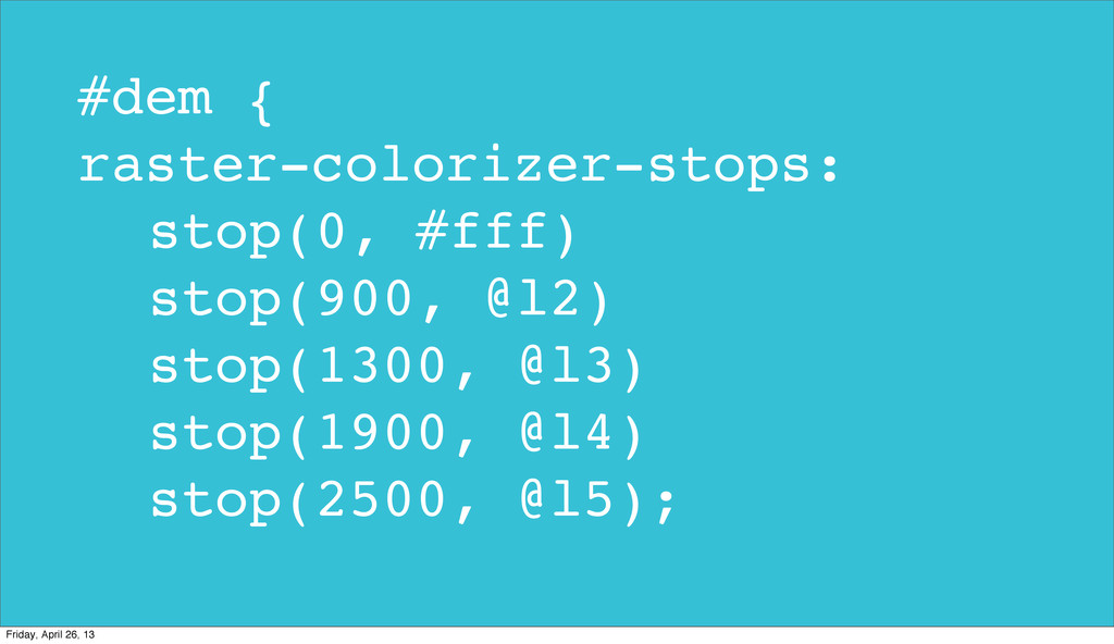
#dem { raster-colorizer-stops: stop(0, #fff) stop(900, @l2) stop(1300, @l3) stop(1900,
@l4) stop(2500, @l5); Friday, April 26, 13
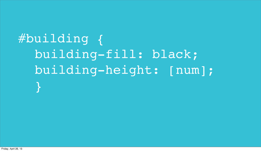
Buildings can be 3D. Friday, April 26, 13
#building { building-fill: black; building-height: [num]; } Friday, April 26,
13
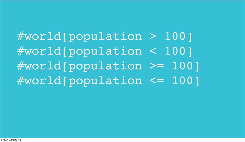
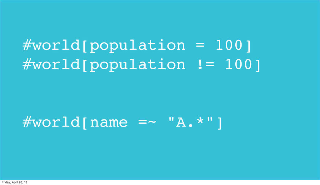
Filters & conditions. Friday, April 26, 13
#world[population > 100] #world[population < 100] #world[population >= 100] #world[population
<= 100] Friday, April 26, 13
#world[population = 100] #world[population != 100] #world[name =~ "A.*"] Friday,
April 26, 13
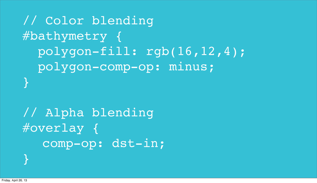
Compositing Operations. Friday, April 26, 13
// Color blending #bathymetry { polygon-fill: rgb(16,12,4); polygon-comp-op: minus; }
// Alpha blending #overlay { comp-op: dst-in; } Friday, April 26, 13
Example 1. Shapefile + Dots & more Friday, April 26,
13
Example 2. PostGIS + Chloropleth/Dots/Text Friday, April 26, 13
Example 3. GeoTiff + Terrain Friday, April 26, 13
Friday, April 26, 13


 dougneiner
 jeffersonlam
 rkendrick25
 paigeccino
 tammyeverts
 jacobian
 carmenintech
 jct
 coloredviolet
 rkaga
 techseoconnect
 yeseniaperezcruz