Upgrade to Pro
— share decks privately, control downloads, hide ads and more …
Speaker Deck
Features
Speaker Deck
PRO
Sign in
Sign up for free
Search
Search
tilemill.pdf
Search
Sponsored
·
Your Podcast. Everywhere. Effortlessly.
Share. Educate. Inspire. Entertain. You do you. We'll handle the rest.
→
Tom MacWright
May 15, 2013
960
4
Share
Embed
Copy iframe code
Copy JS code
Copy link
Start on current slide
tilemill.pdf
Tom MacWright
May 15, 2013
More Decks by Tom MacWright
See All by Tom MacWright
I Fought the Law and The Law Won and I Won Too
tmcw
0
85
Visualized
tmcw
1
260
Featured
See All Featured
The Myth of the Modular Monolith - Day 2 Keynote - Rails World 2024
eileencodes
28
3.6k
Evolving SEO for Evolving Search Engines
ryanjones
0
250
RailsConf 2023
tenderlove
30
1.5k
Navigating Team Friction
lara
192
16k
My Coaching Mixtape
mlcsv
0
180
Lightning Talk: Beautiful Slides for Beginners
inesmontani
PRO
2
610
How to make the Groovebox
asonas
2
2.3k
The Limits of Empathy - UXLibs8
cassininazir
1
550
How to Align SEO within the Product Triangle To Get Buy-In & Support - #RIMC
aleyda
2
1.7k
What Being in a Rock Band Can Teach Us About Real World SEO
427marketing
0
1.1k
SEO for Brand Visibility & Recognition
aleyda
0
4.6k
How to Create Impact in a Changing Tech Landscape [PerfNow 2023]
tammyeverts
55
3.4k
Transcript
Modern Maps with TileMill Tom MacWright MapBox @tmcw bit.ly/openvisconf-tilemill Wednesday,
May 15, 13
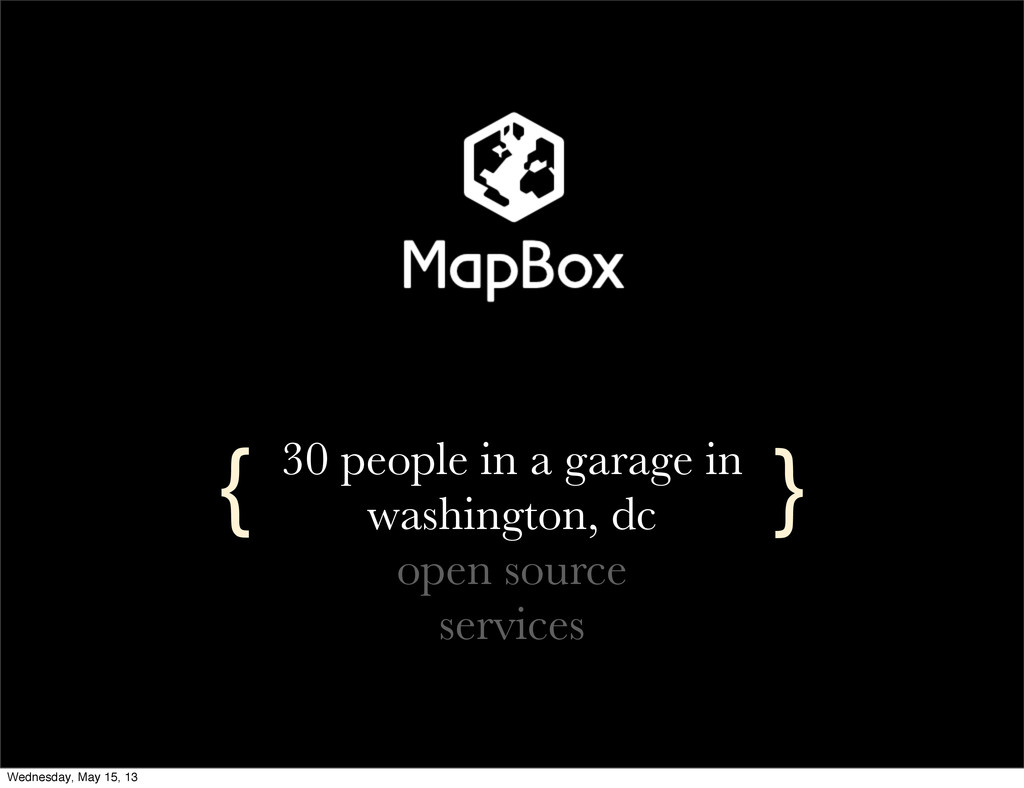
30 people in a garage in washington, dc open source
services { } Wednesday, May 15, 13
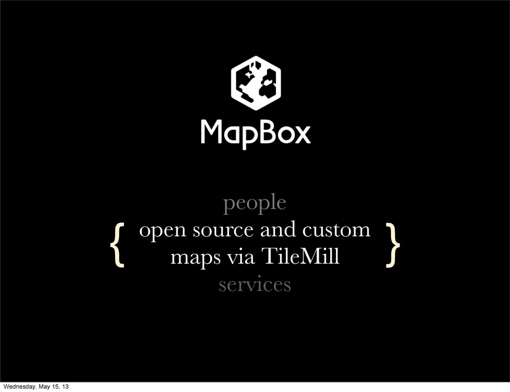
people open source and custom maps via TileMill services {
} Wednesday, May 15, 13
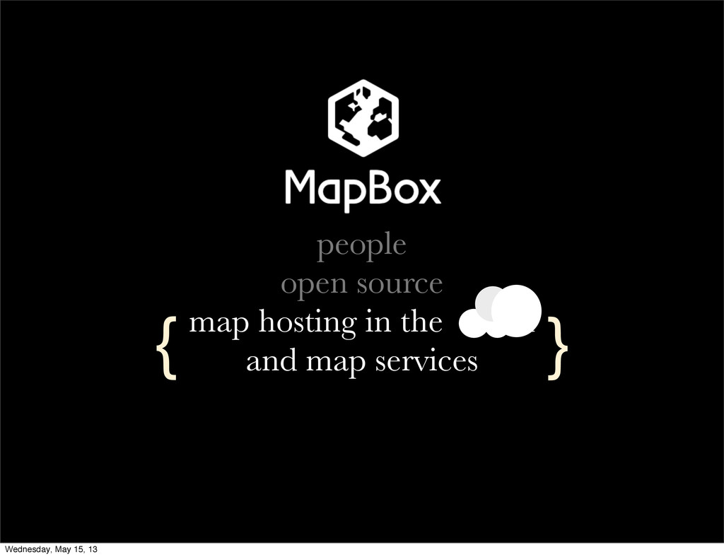
people open source map hosting in the cloud and map
services { } Wednesday, May 15, 13
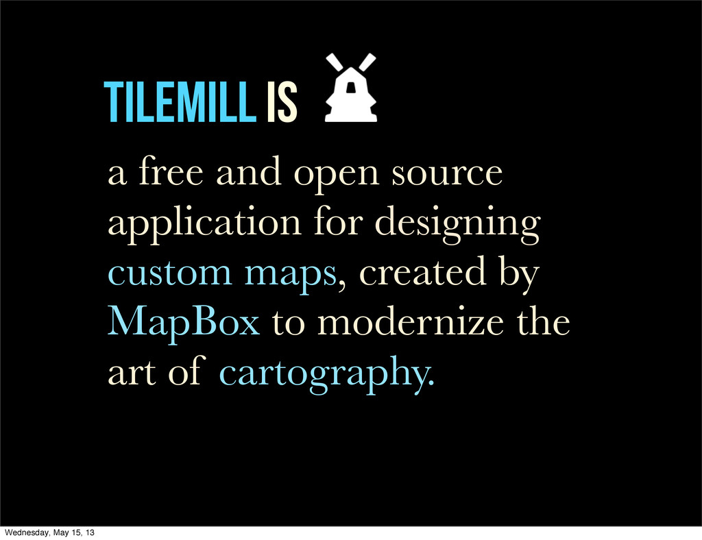
TileMill is a free and open source application for designing
custom maps, created by MapBox to modernize the art of cartography. Wednesday, May 15, 13
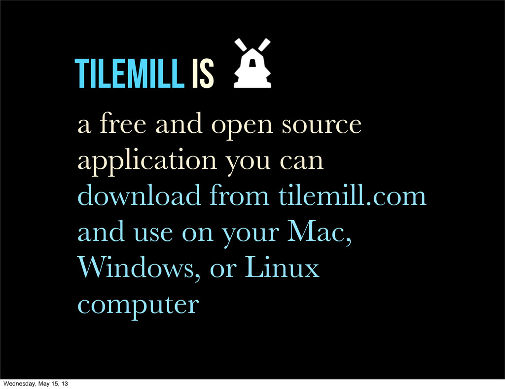
TileMill is a free and open source application you can
download from tilemill.com and use on your Mac, Windows, or Linux computer Wednesday, May 15, 13
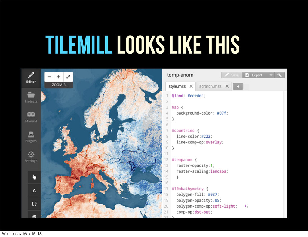
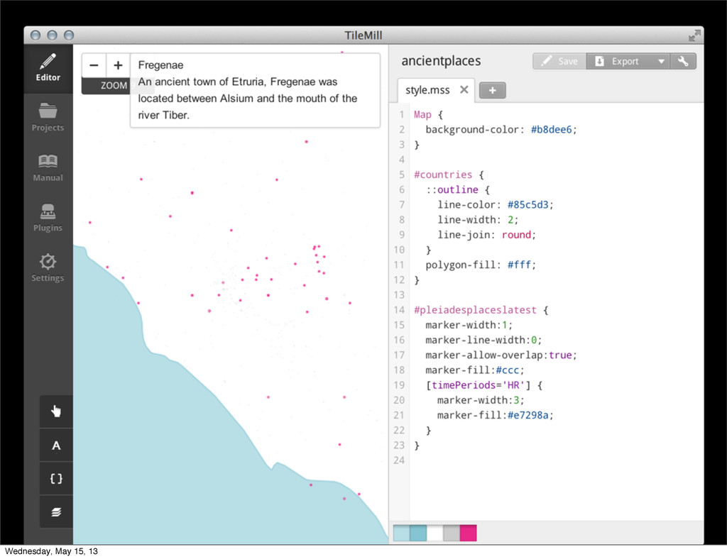
TileMill TileMill LOOKS LIKE THIS Wednesday, May 15, 13
WHY Wednesday, May 15, 13
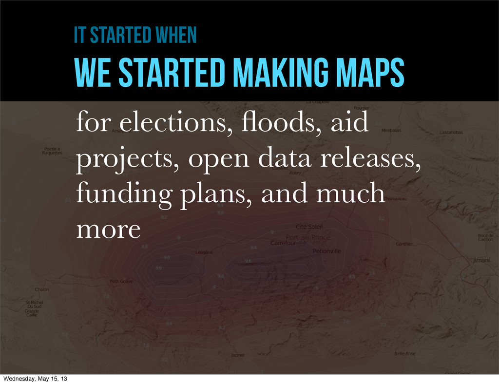
it started when WE STARTED MAKING MAPS for elections, floods,
aid projects, open data releases, funding plans, and much more Wednesday, May 15, 13
MAPS ARE A HEAP Wednesday, May 15, 13
Cartographers KNOW design + programming + file formats + math
+ geometry + languages + projections + rendering engines Wednesday, May 15, 13
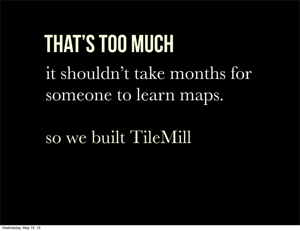
That’s too much it shouldn’t take months for someone to
learn maps. so we built TileMill Wednesday, May 15, 13
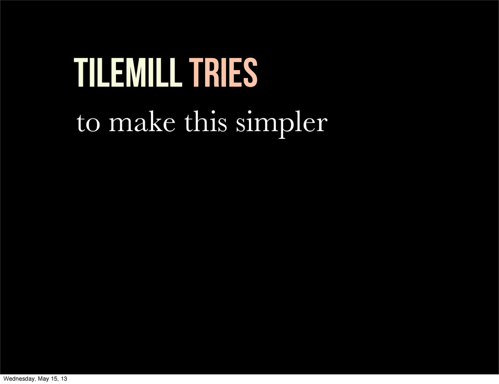
TileMill Tries to make this simpler Wednesday, May 15, 13
Principles Wednesday, May 15, 13
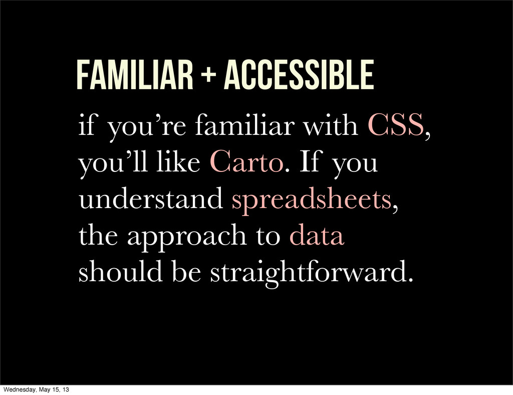
familiar + accessible if you’re familiar with CSS, you’ll like
Carto. If you understand spreadsheets, the approach to data should be straightforward. Wednesday, May 15, 13
DESIGN FIRST previous tools were analysis-heavy and design- light. TileMill
led with design and then became an analysis tool. Wednesday, May 15, 13
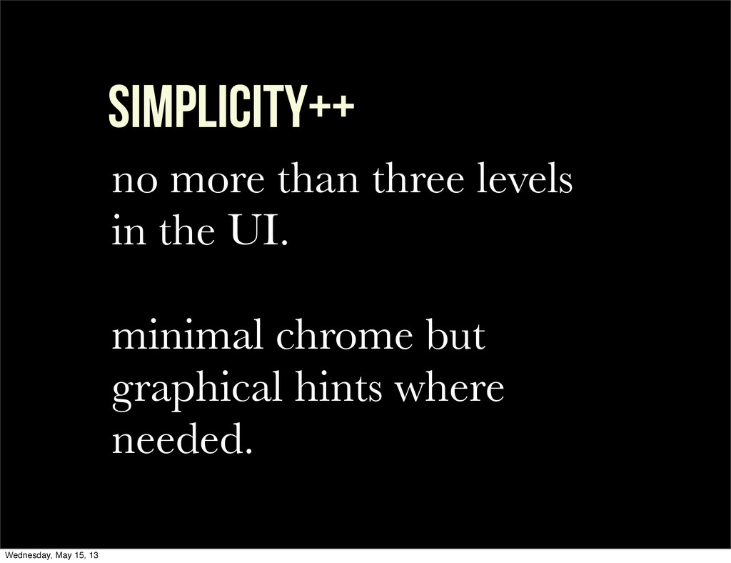
simplicity++ no more than three levels in the UI. minimal
chrome but graphical hints where needed. Wednesday, May 15, 13
PROCESS Wednesday, May 15, 13
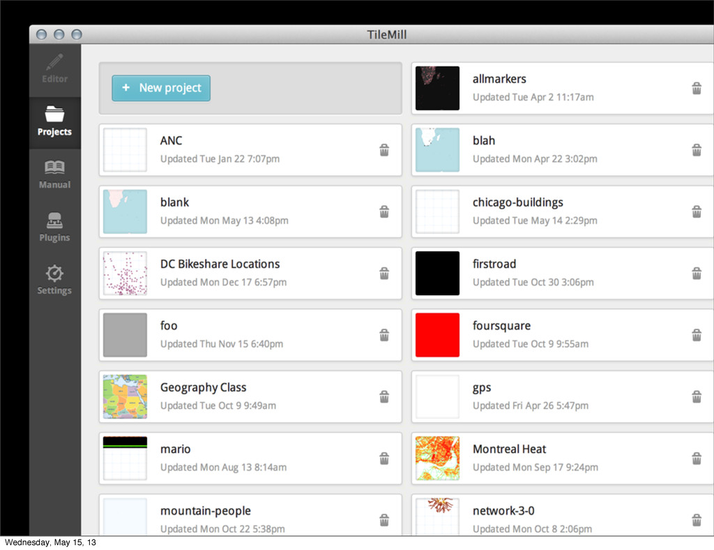
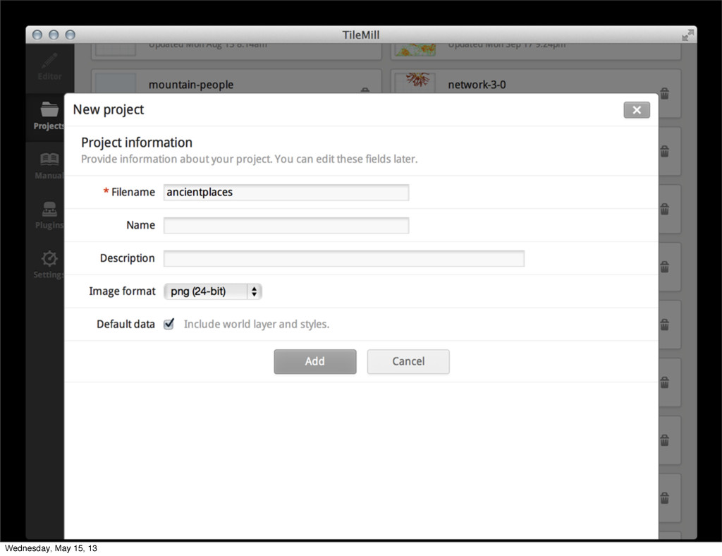
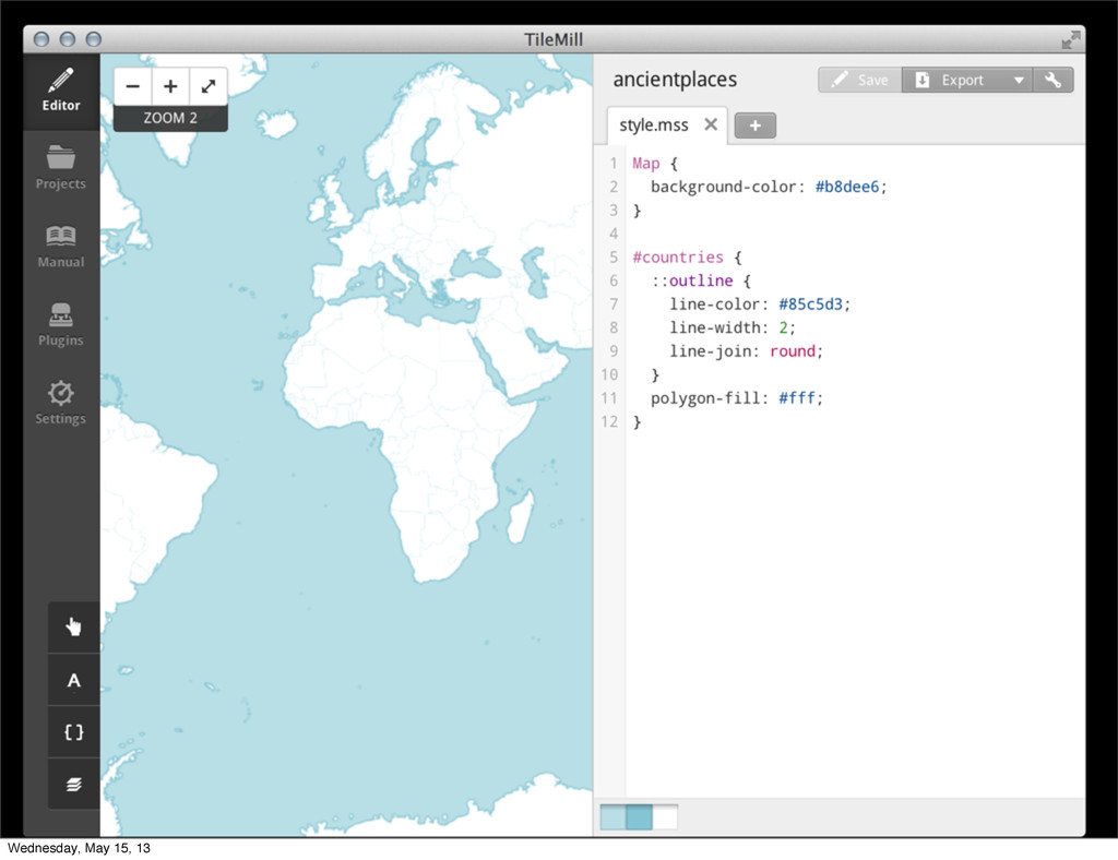
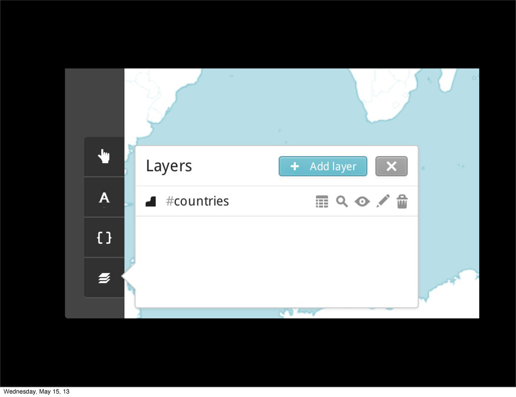
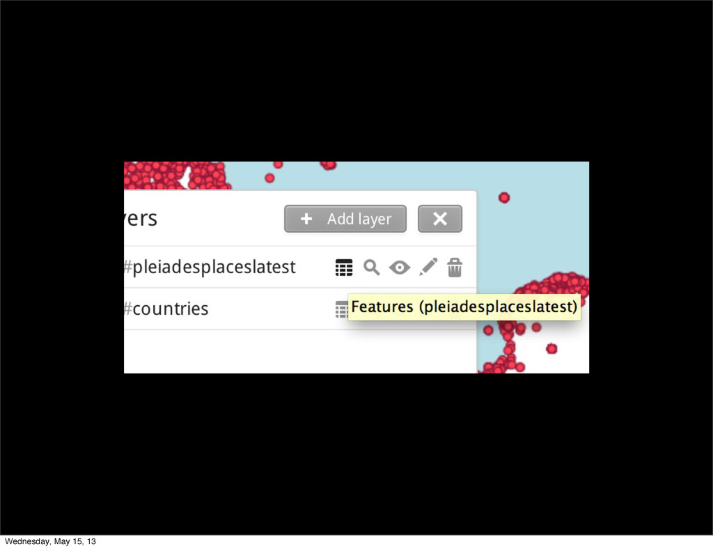
TileMill on your laptop Wednesday, May 15, 13
Wednesday, May 15, 13
Wednesday, May 15, 13
Wednesday, May 15, 13
Wednesday, May 15, 13
Wednesday, May 15, 13
Wednesday, May 15, 13
Wednesday, May 15, 13
Wednesday, May 15, 13
Wednesday, May 15, 13
Wednesday, May 15, 13
Wednesday, May 15, 13
Wednesday, May 15, 13
Wednesday, May 15, 13
Wednesday, May 15, 13
Wednesday, May 15, 13
Wednesday, May 15, 13
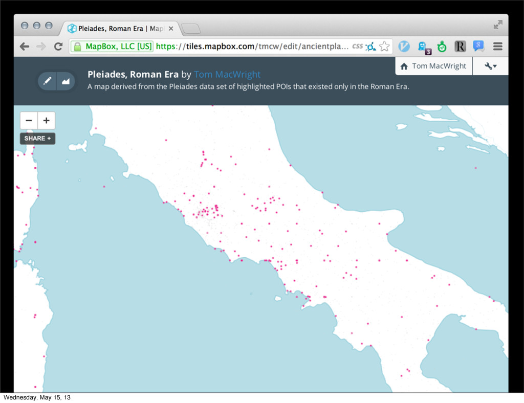
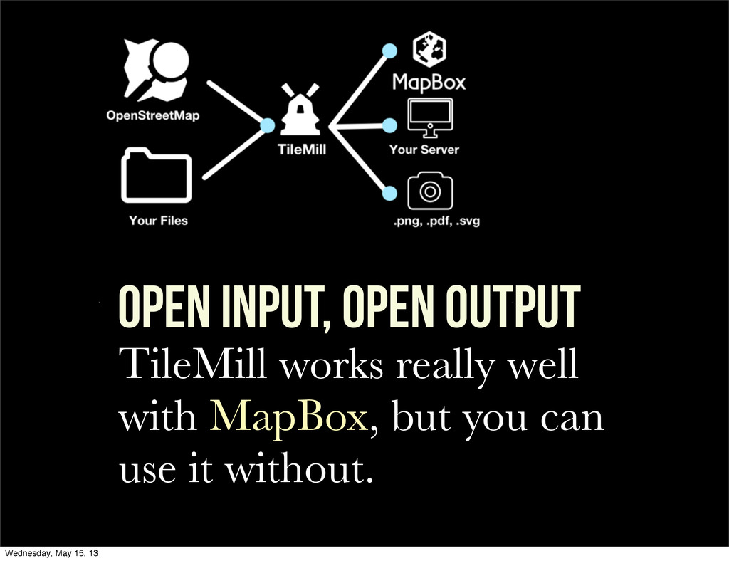
TileMill works really well with MapBox, but you can use
it without. OPEN INPUT, OPEN OUTPUT Wednesday, May 15, 13
STYLE Wednesday, May 15, 13
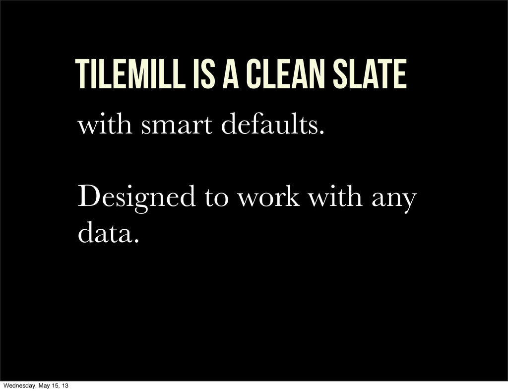
TILEMILL is a clean slate with smart defaults. Designed to
work with any data. Wednesday, May 15, 13
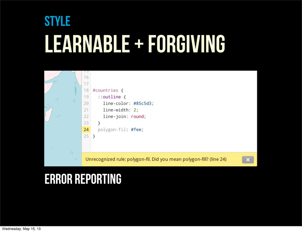
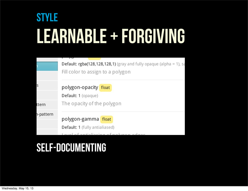
style LEARNABLE + FORGIVING error reporting Wednesday, May 15, 13
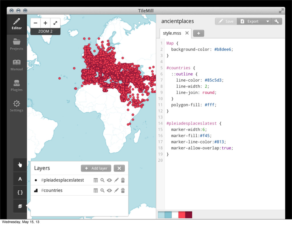
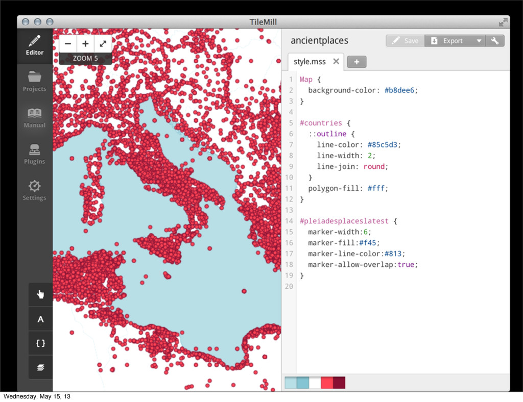
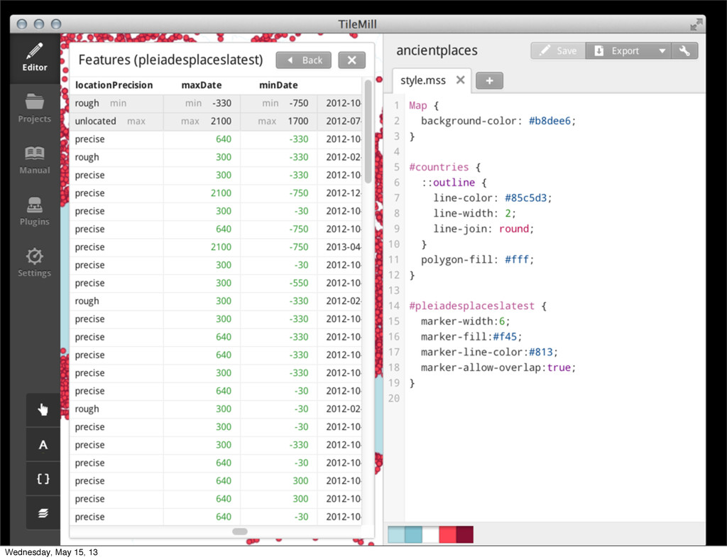
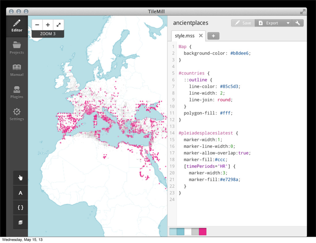
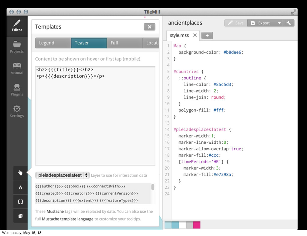
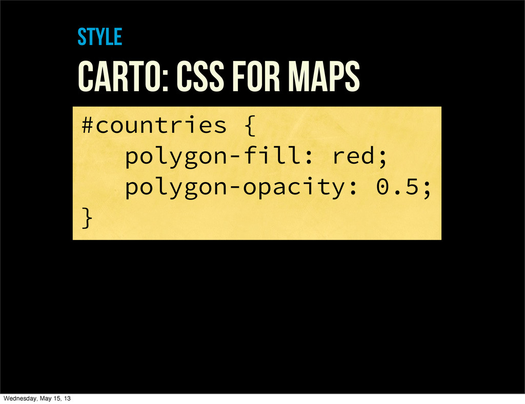
style Carto: CSS For maps #countries { polygon-fill: red; polygon-opacity:
0.5; } Wednesday, May 15, 13
style Carto: CSS For maps @lw: 2; #counties[zoom > 9]
{ line-width: @lw; } PLUS zoom levels, variables, attachments, fontsets, functions, and so on Wednesday, May 15, 13
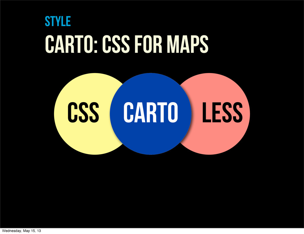
style Carto: CSS For maps CSS LESS CARTO Wednesday, May
15, 13
style LEARNABLE + FORGIVING error reporting Wednesday, May 15, 13
style LEARNABLE + FORGIVING self-documenting Wednesday, May 15, 13
Data Wednesday, May 15, 13
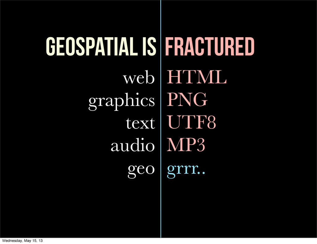
geospatial is fractured web graphics text audio geo HTML PNG
UTF8 MP3 grrr.. Wednesday, May 15, 13
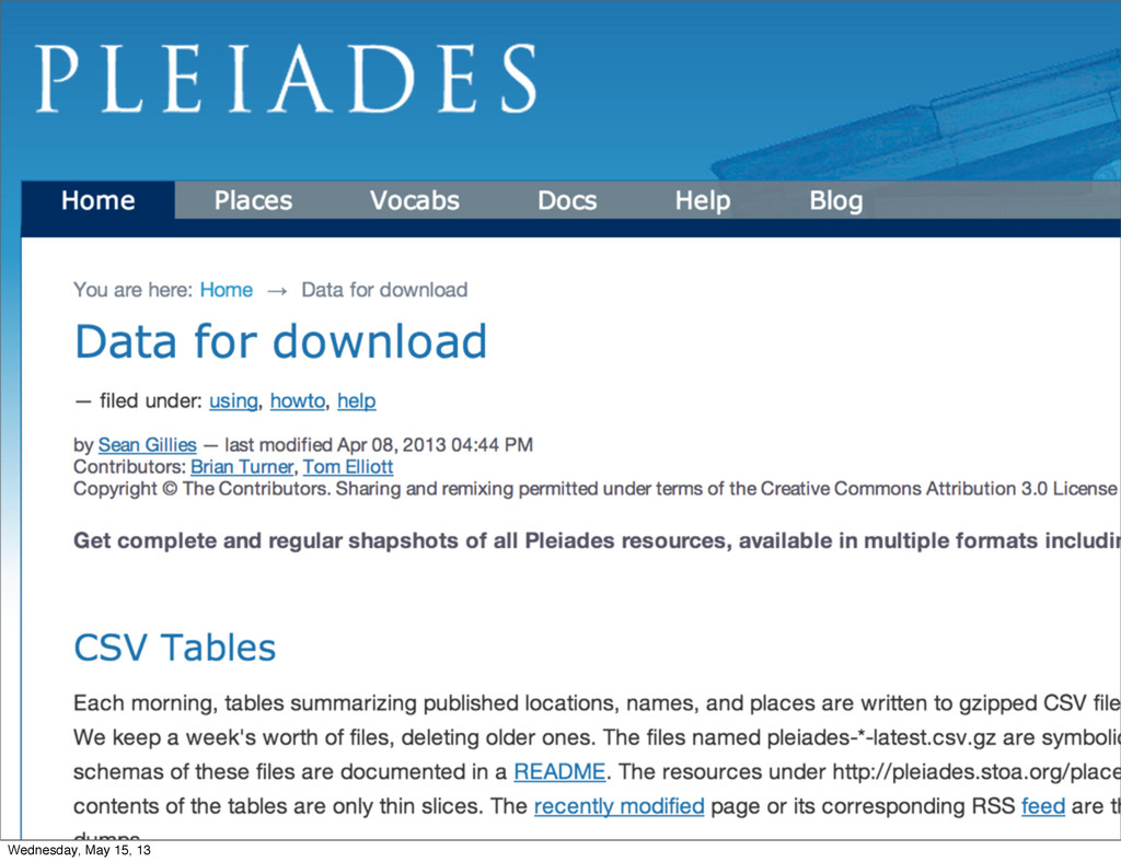
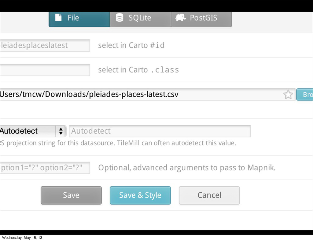
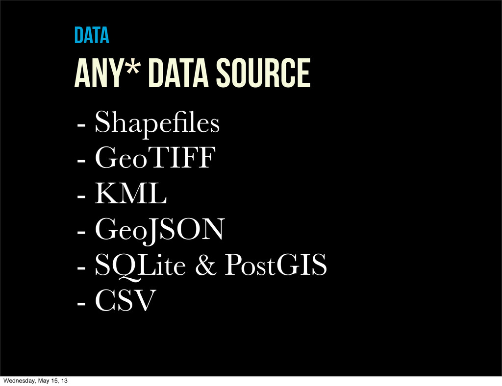
data ANY* DATA SOURCE - Shapefiles - GeoTIFF - KML
- GeoJSON - SQLite & PostGIS - CSV Wednesday, May 15, 13
data * ←more on this later. Wednesday, May 15, 13
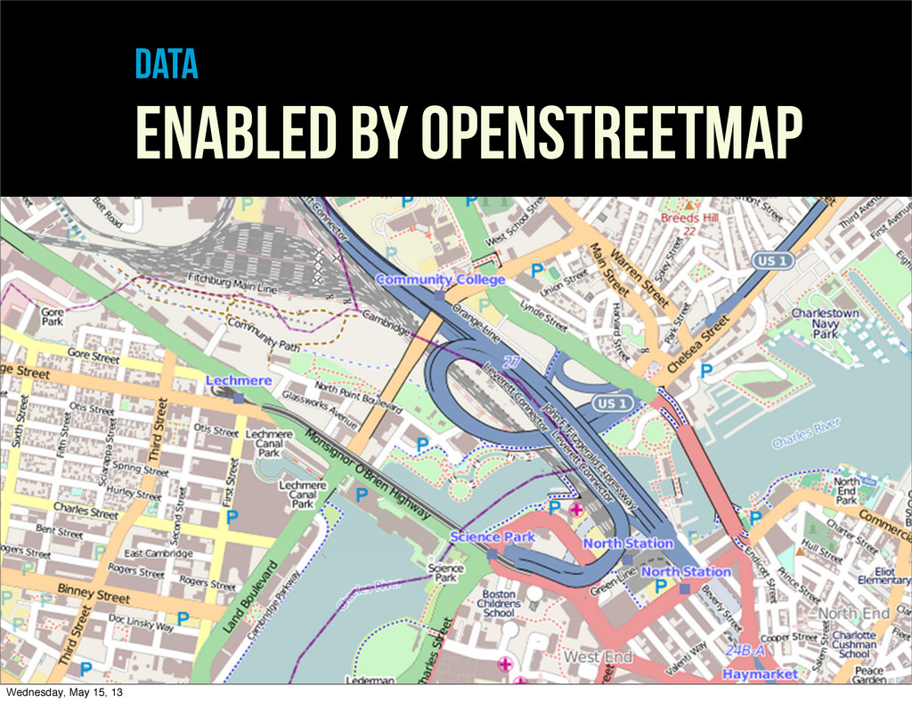
data enabled by openstreetmap Wednesday, May 15, 13
the open base for open maps Wednesday, May 15, 13
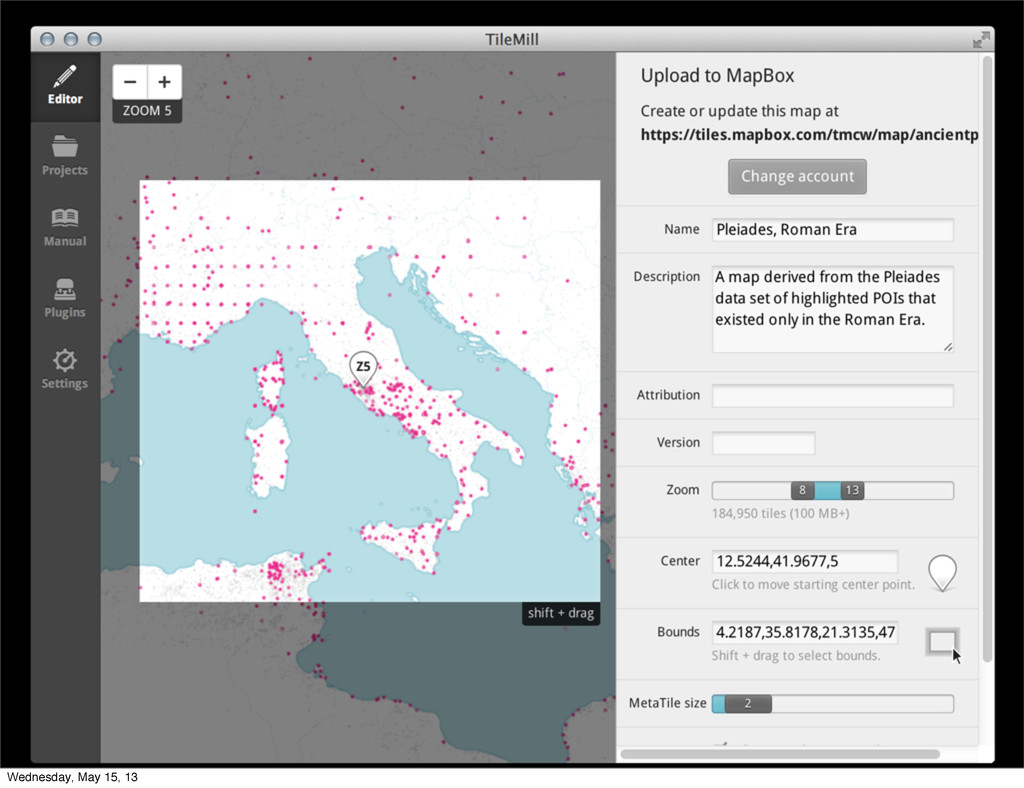
PUBLISHING Wednesday, May 15, 13
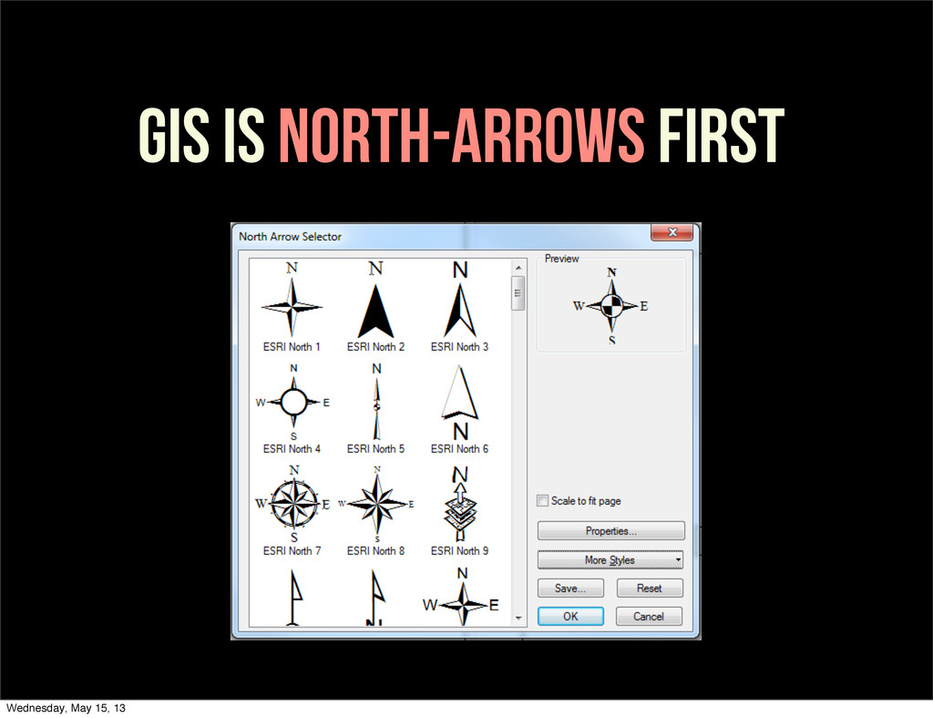
GIS IS NORTH-ARROWS FIRST Wednesday, May 15, 13
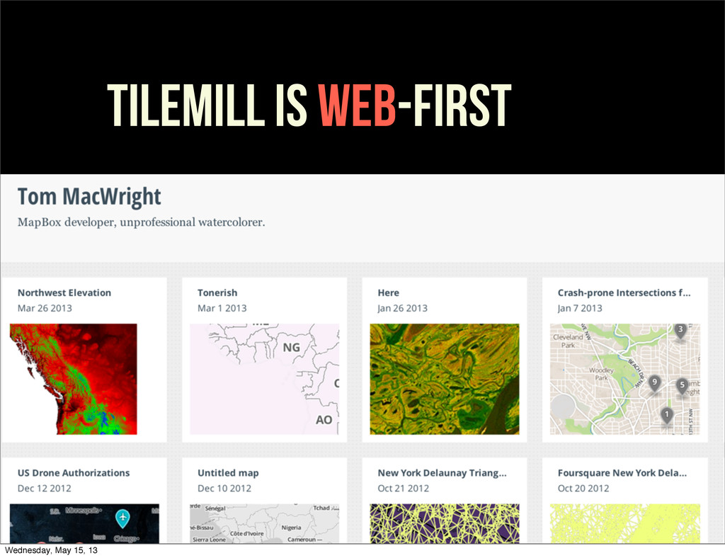
TILEMILL is web-FIRST Wednesday, May 15, 13
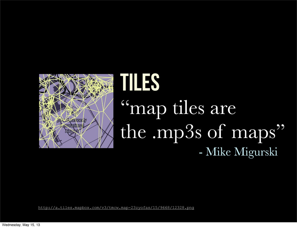
TILES “map tiles are the .mp3s of maps” - Mike
Migurski http://a.tiles.mapbox.com/v3/tmcw.map-23zyofas/15/9668/12328.png Wednesday, May 15, 13
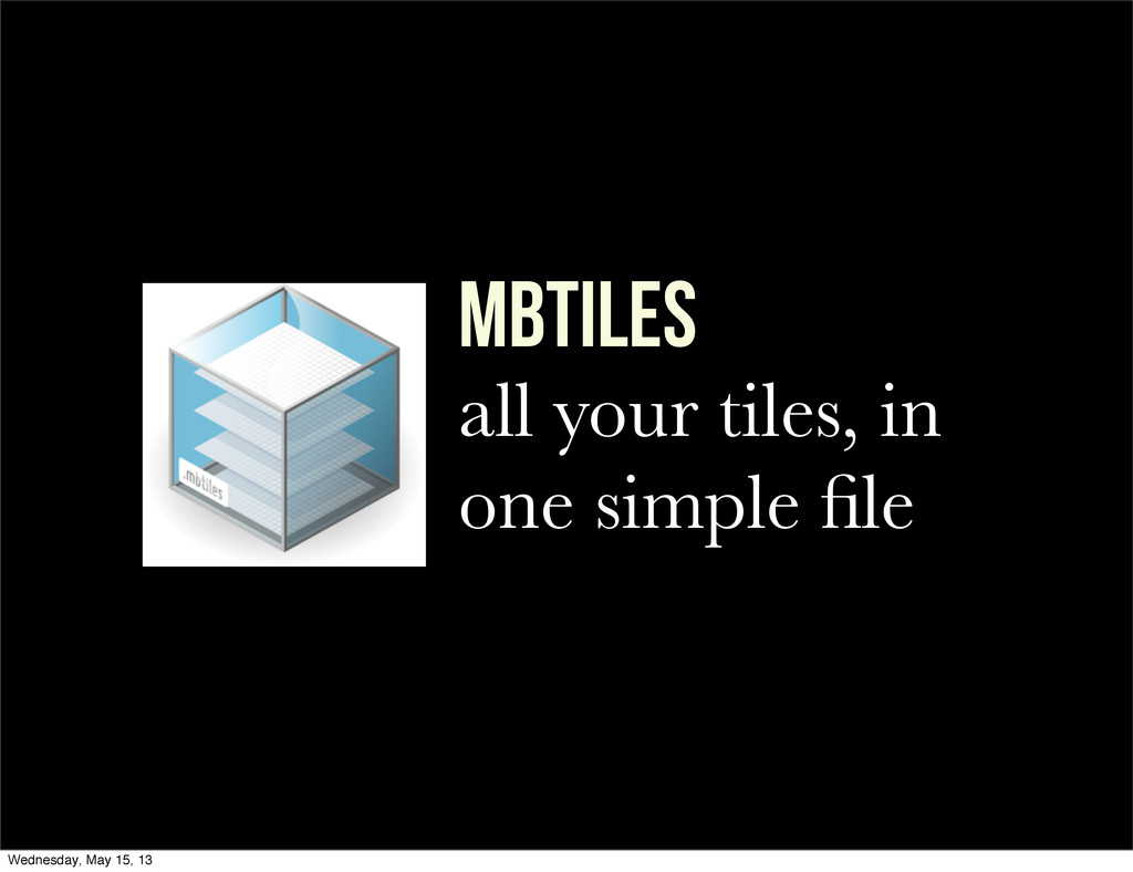
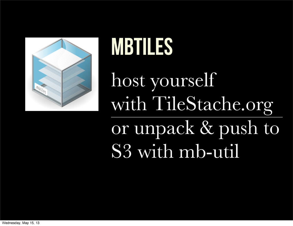
mbTILES all your tiles, in one simple file Wednesday, May
15, 13
mbTILES host yourself with TileStache.org or unpack & push to
S3 with mb-util Wednesday, May 15, 13
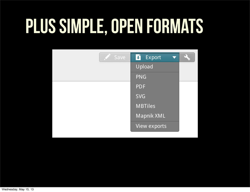
PLUS SIMPLE, OPEN FORMATS Wednesday, May 15, 13
Under the hood Wednesday, May 15, 13
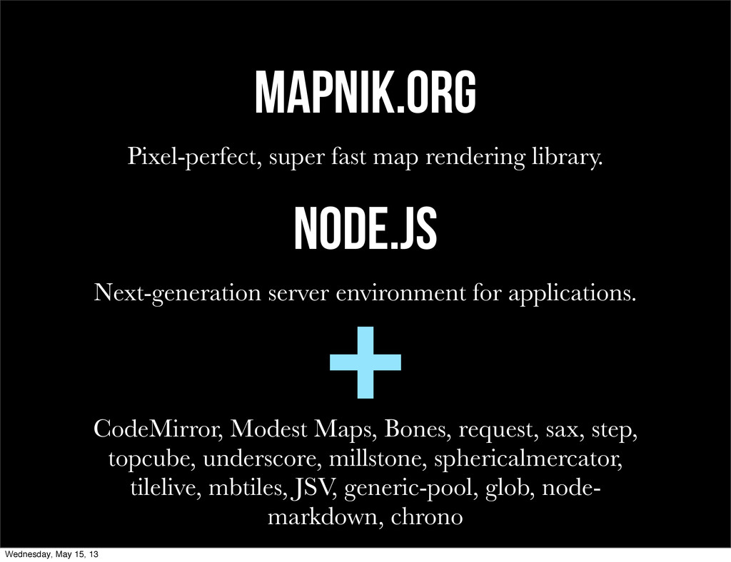
Mapnik.org Pixel-perfect, super fast map rendering library. node.js Next-generation server
environment for applications. CodeMirror, Modest Maps, Bones, request, sax, step, topcube, underscore, millstone, sphericalmercator, tilelive, mbtiles, JSV, generic-pool, glob, node- markdown, chrono + Wednesday, May 15, 13
THE WILD Wednesday, May 15, 13
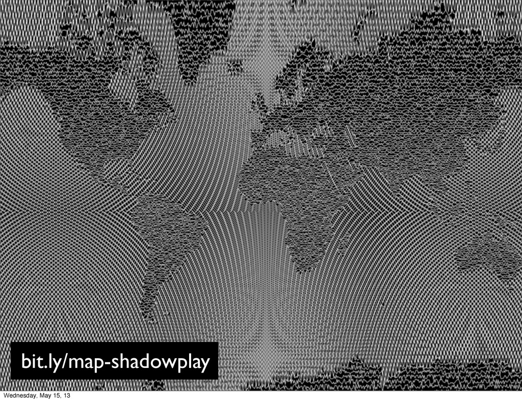
bit.ly/map-shadowplay Wednesday, May 15, 13
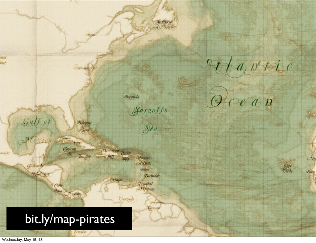
bit.ly/map-pirates Wednesday, May 15, 13
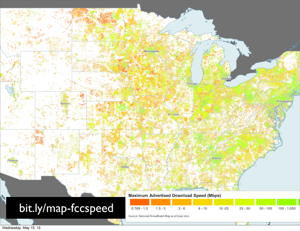
bit.ly/map-fccspeed Wednesday, May 15, 13
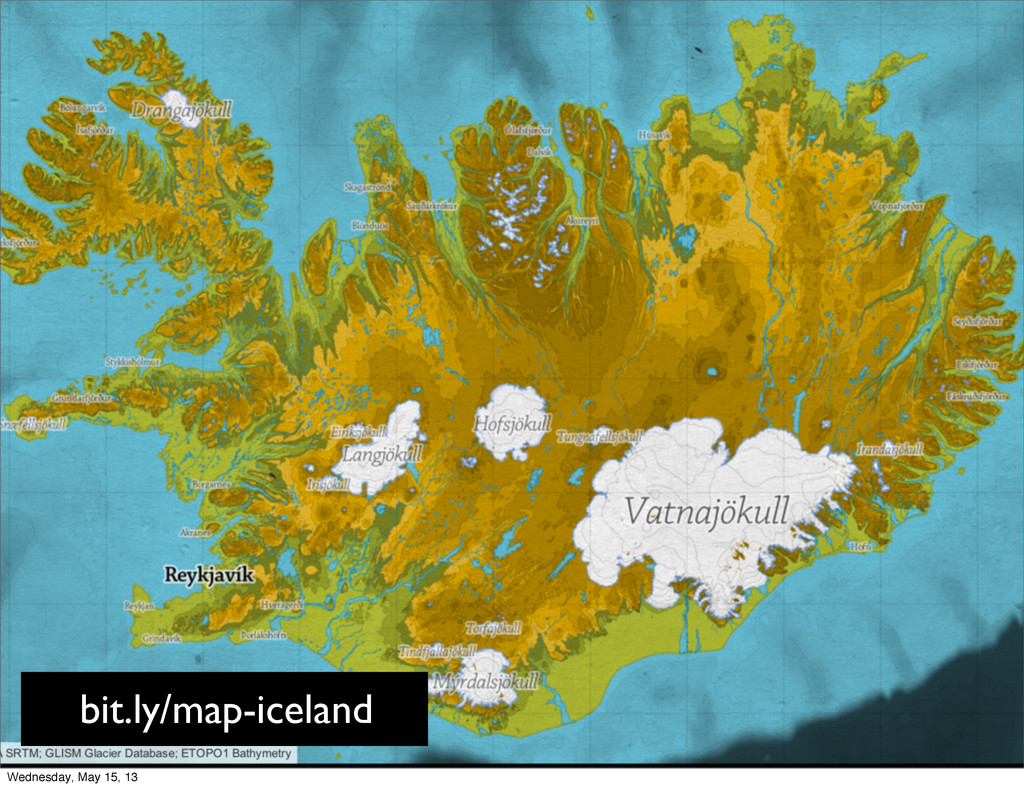
bit.ly/map-iceland Wednesday, May 15, 13
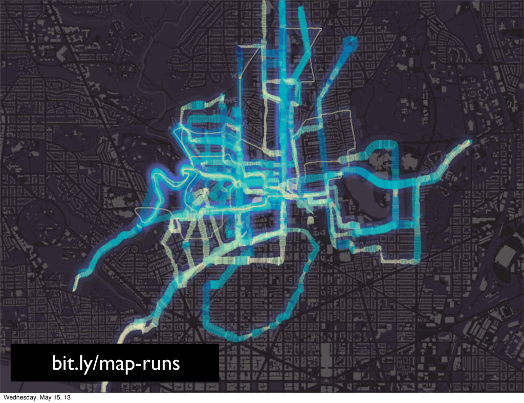
bit.ly/map-iceland bit.ly/map-runs Wednesday, May 15, 13
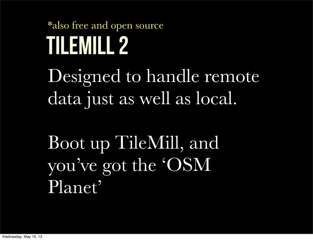
TILEMILL 2 Wednesday, May 15, 13
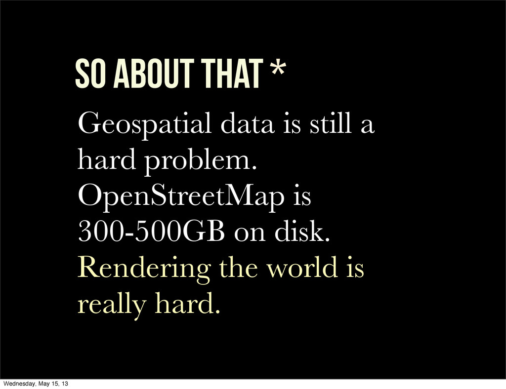
so about that * Geospatial data is still a hard
problem. OpenStreetMap is 300-500GB on disk. Rendering the world is really hard. Wednesday, May 15, 13
TileMill 2 Designed to handle remote data just as well
as local. Boot up TileMill, and you’ve got the ‘OSM Planet’ *also free and open source Wednesday, May 15, 13
TileMill 2 + VECTOr tiles Vector tiles separate data &
style, reduce size 10x, and work remotely: work without importing ‘the planet’. *also free and open source Wednesday, May 15, 13
THANKS! Tom MacWright MapBox @tmcw Wednesday, May 15, 13
THANKS! Tom MacWright MapBox @tmcw bit.ly/openvisconf-tilemill mapbox.com tilemill.com Wednesday, May
15, 13
![style Carto: CSS For maps @lw: 2; #counties[zoom > 9]](https://files.speakerdeck.com/presentations/488e01f09fbb0130c19936e12fd562a8/slide_40.jpg)