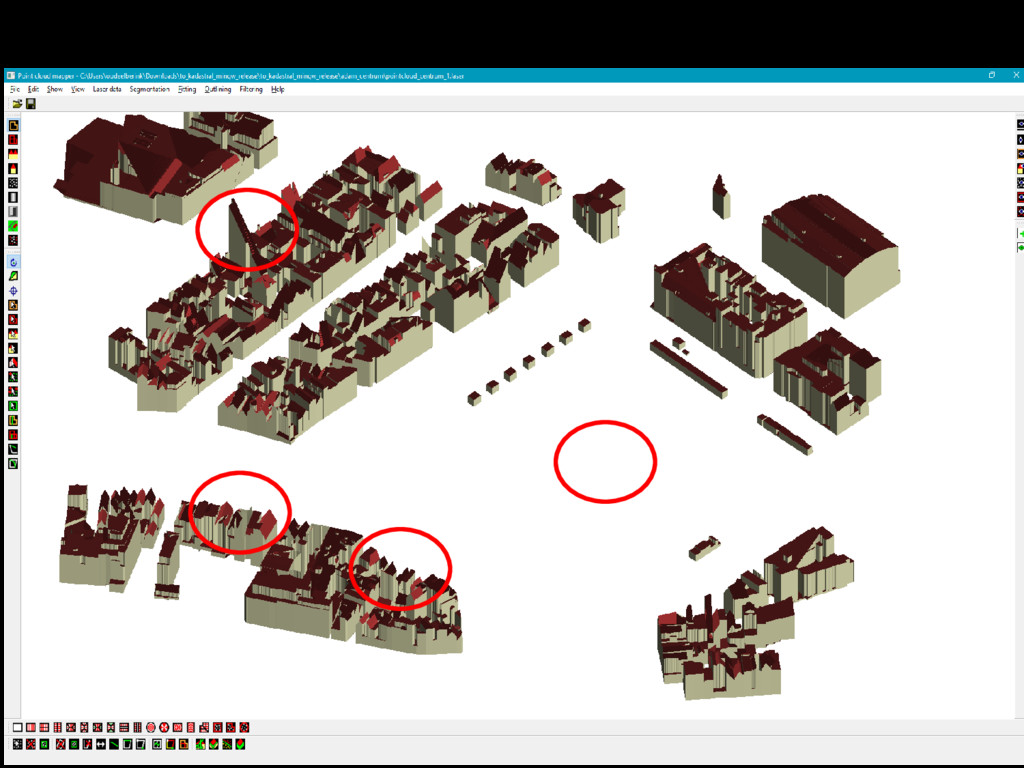
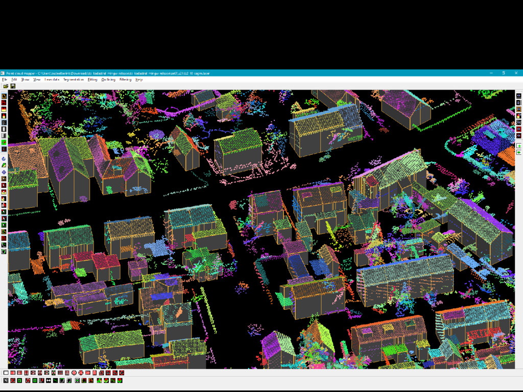
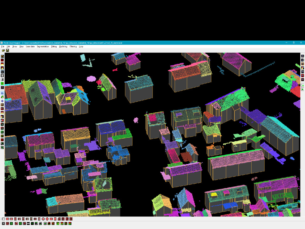
January Contract Biao untill 31 January. Tools, codes and manual put on Github Feb 7: https://github.com/Soudeel/3D4EM-LoD2buildingmodels Tested on 5 datasets from Kadaster; Tested by Kadaster; Feb 2017 – now Tested by Geodan, TUD-GRSL; Discussions with Geodan & TUD on improvements of software Feedback Kadaster is pending PROGRESS NOV 2016 – JUN 2017
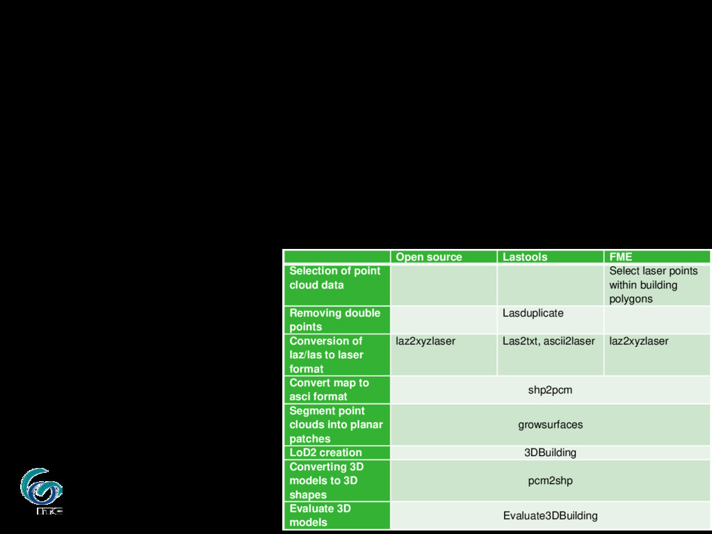
cloud data to be entered; Output: 3D shape & quality indicators MORE INFORMATION ON THE TOOLS Open source Lastools FME Selection of point cloud data Select laser points within building polygons Removing double points Lasduplicate Conversion of laz/las to laser format laz2xyzlaser Las2txt, ascii2laser laz2xyzlaser Convert map to asci format shp2pcm Segment point clouds into planar patches growsurfaces LoD2 creation 3DBuilding Converting 3D models to 3D shapes pcm2shp Evaluate 3D models Evaluate3DBuilding
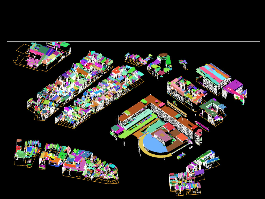
(a.o. when points are stored double) Two new programs: Laz2xyzlaser (a.o. removes double points) Segmentation_keeproofs Filter step based on local planarity and inclination DURING DISCUSSIONS WITH GEODAN AND TUD
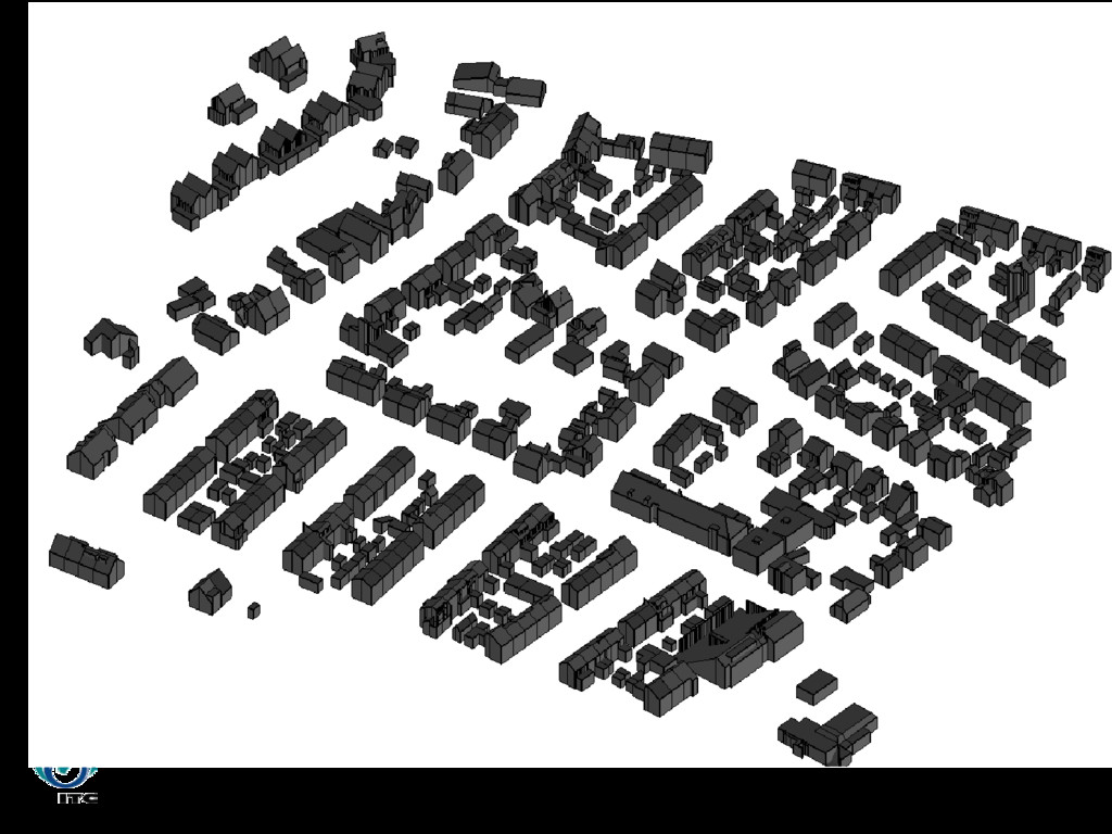
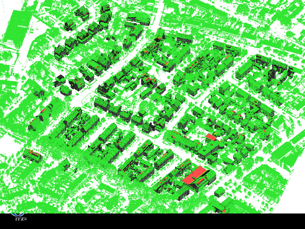
Models can be generated automatically; Not perfect, but quality indicator directs to incorrect buildings Processwise: Disappointing for many Damaged relations instead of strengthened Wish to close it in satisfactory way for all CONCLUSIONS


 3d4em
3d4em
 morganepeng
 techseoconnect
 sachag
 mfonobong
 marktimemedia
 joshbly
 jmmastey
 sabderemane
 helmedeiros
 cassininazir
 reverentgeek
 samlambert