Your Podcast. Everywhere. Effortlessly.
Presentation given at the DataEDGE Conference, May 9, 2014:
http://dataedge.ischool.berkeley.edu/2014/schedule#spatialdata
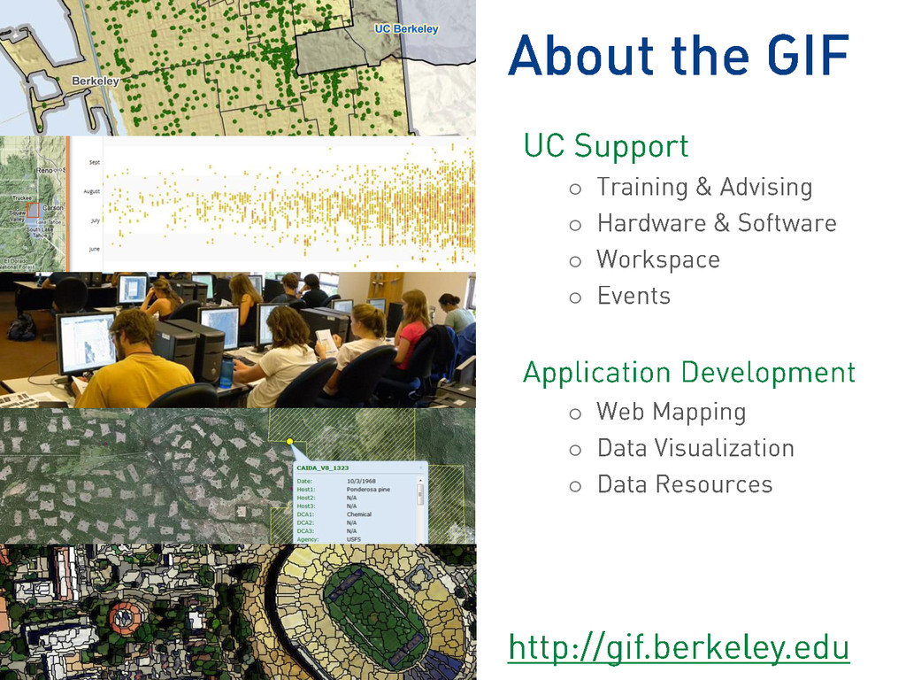
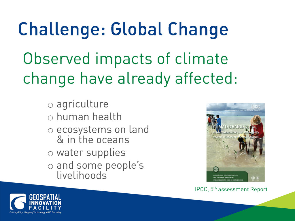
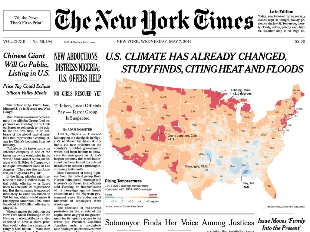
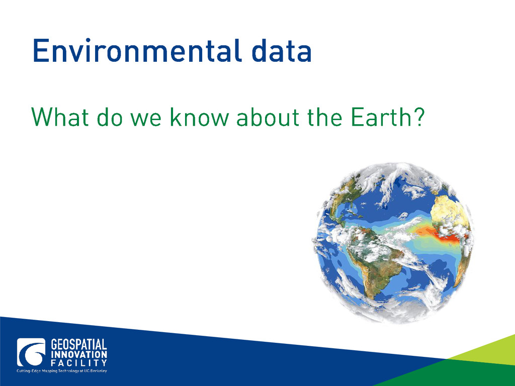
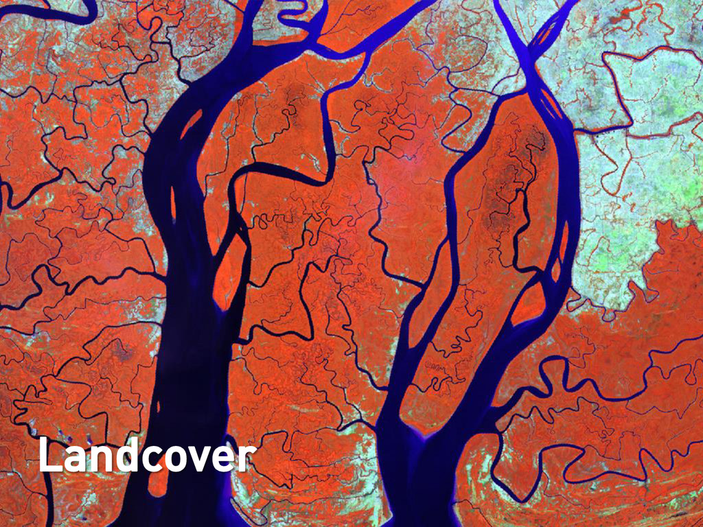
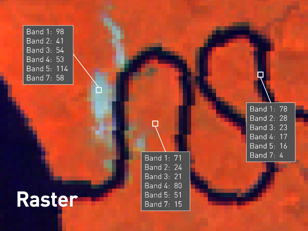
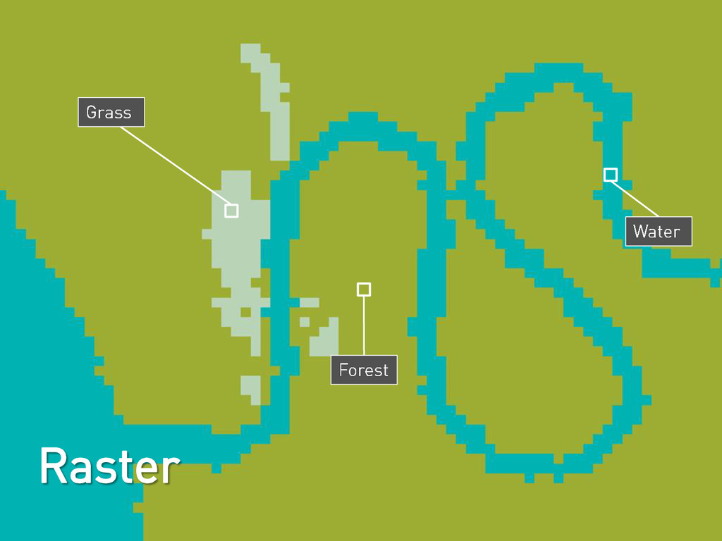
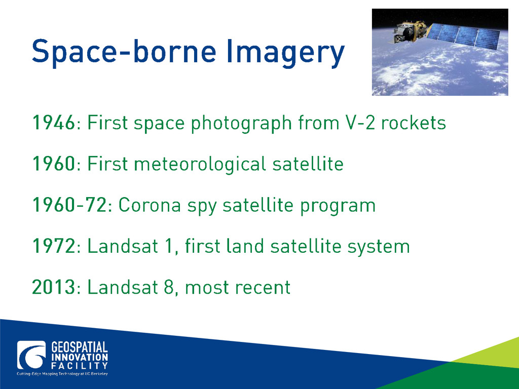
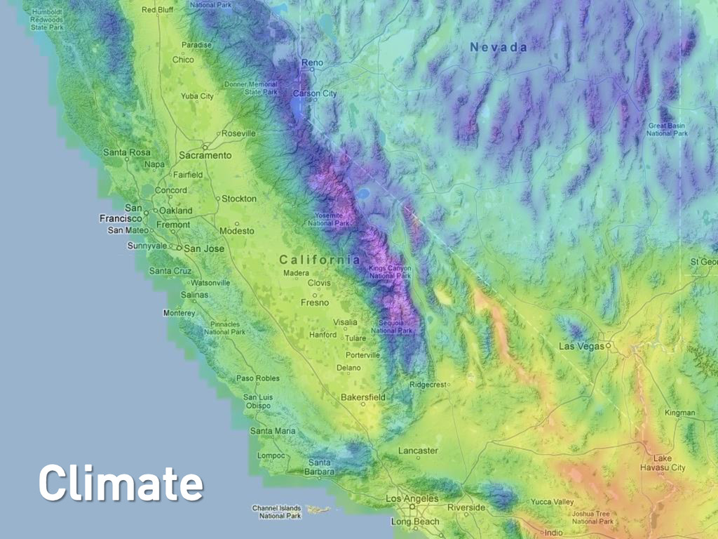
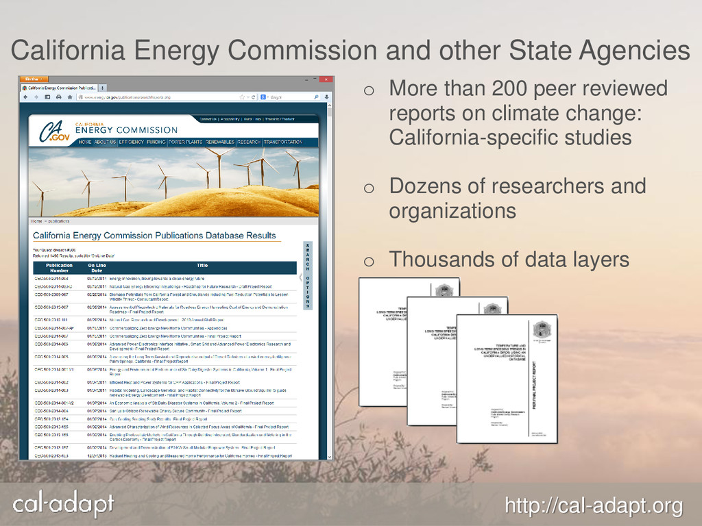
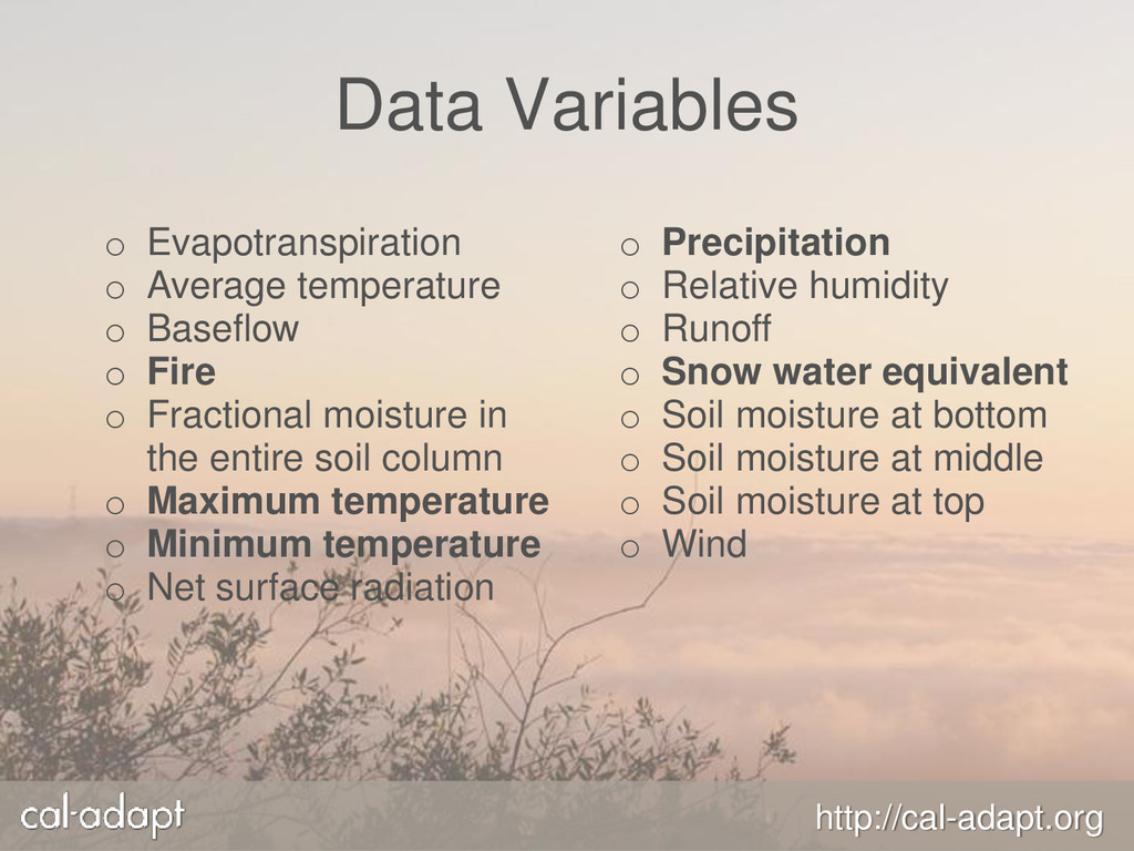
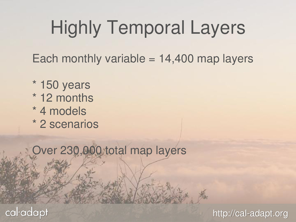
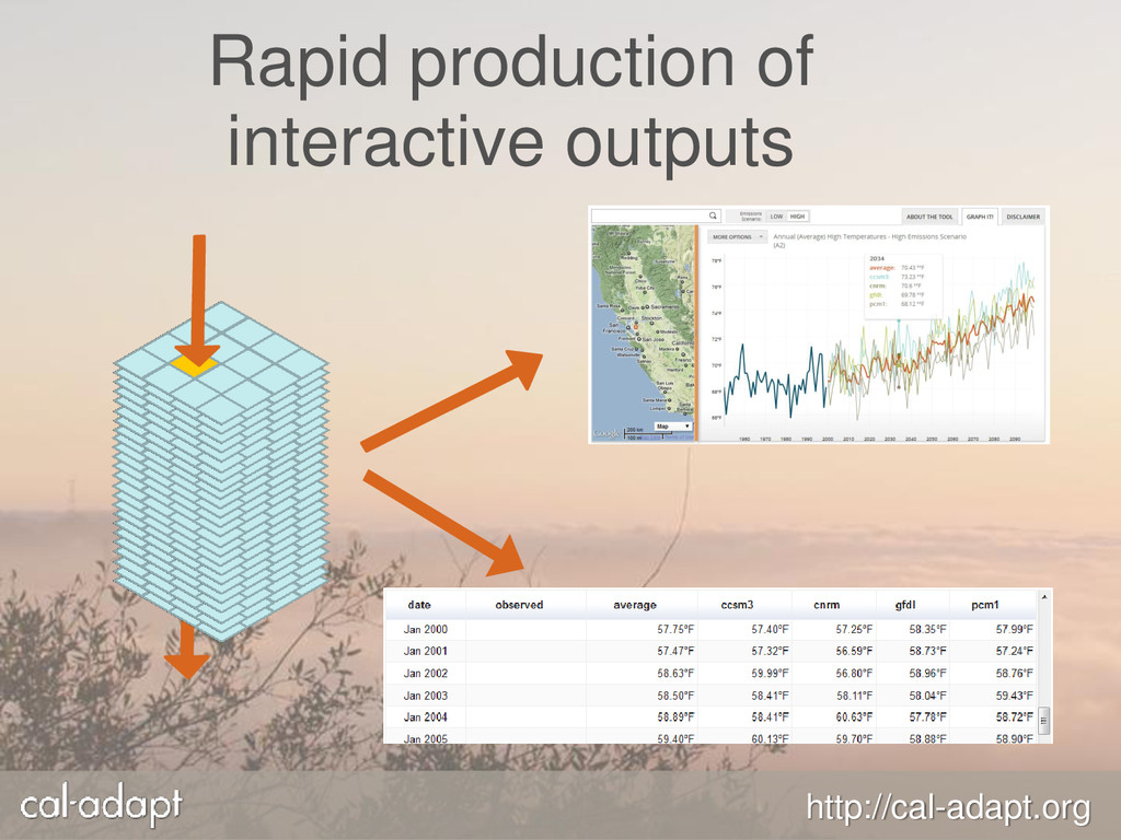
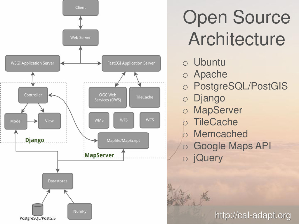
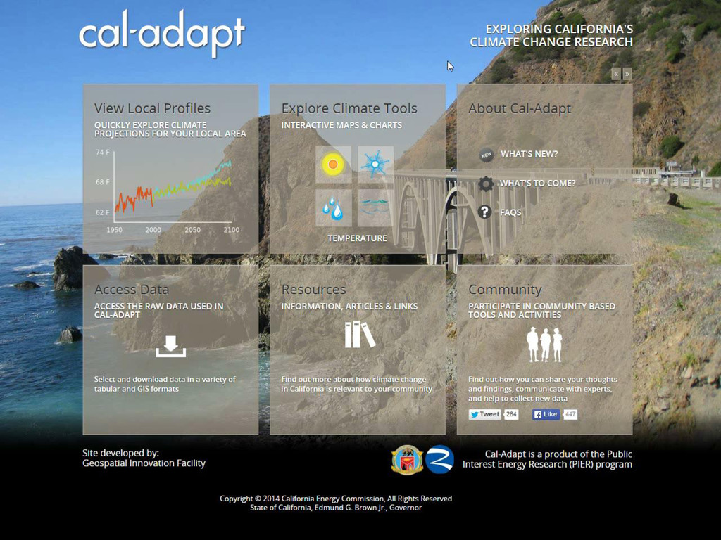
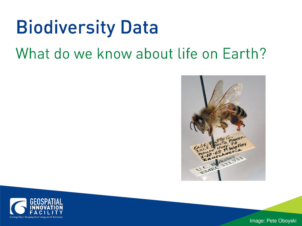
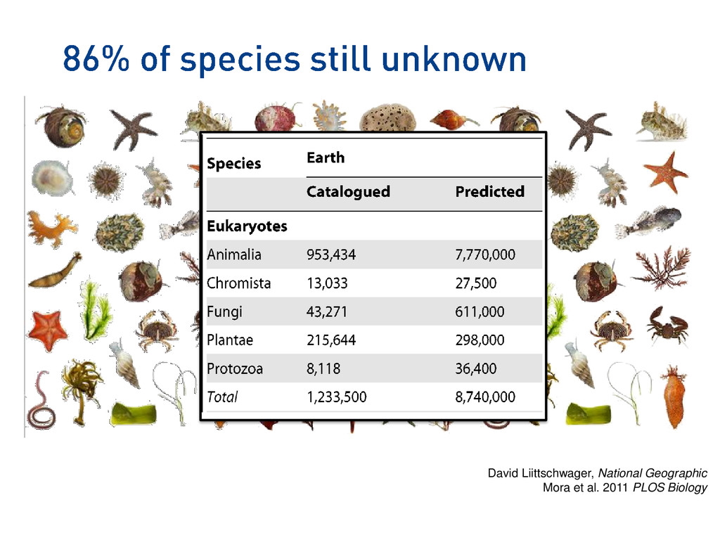
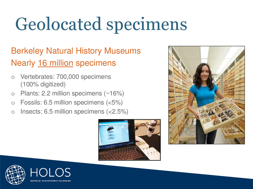
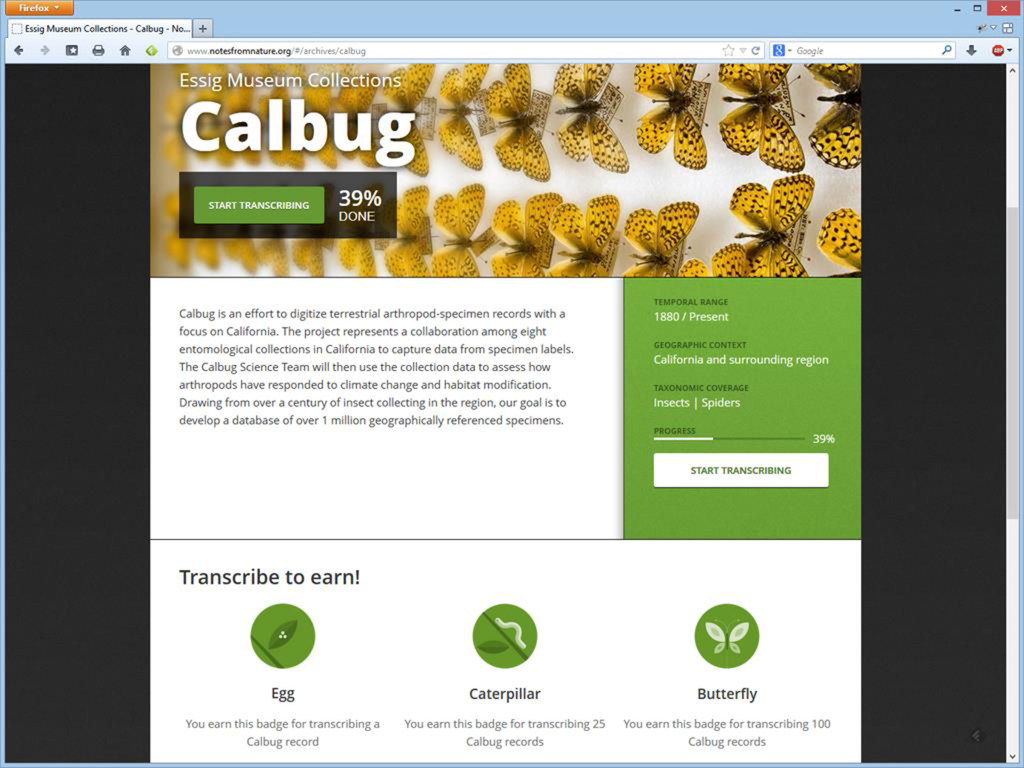
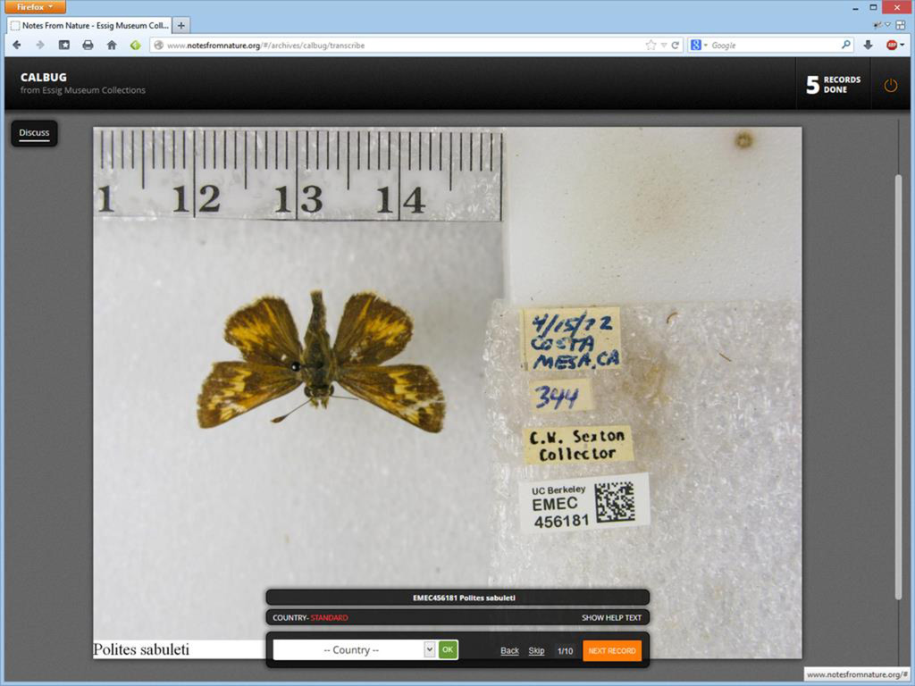
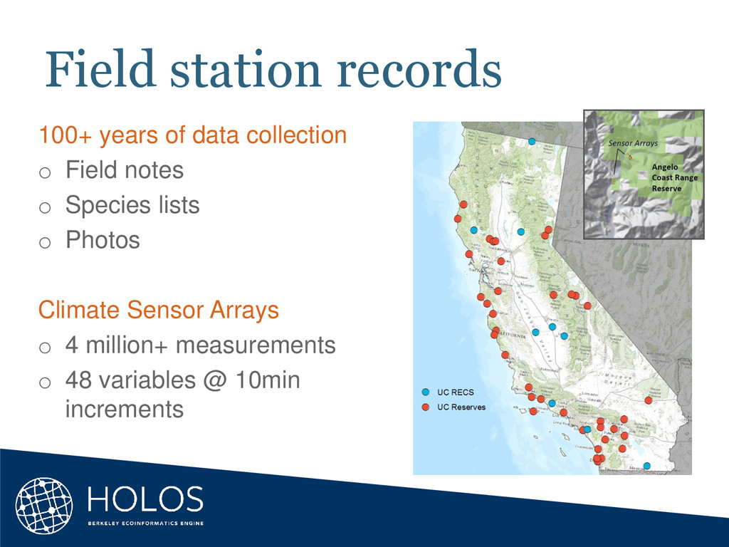
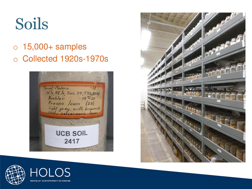
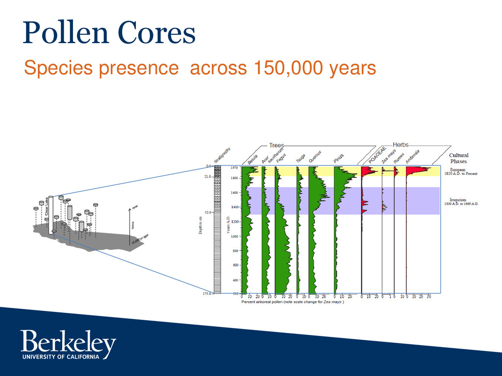
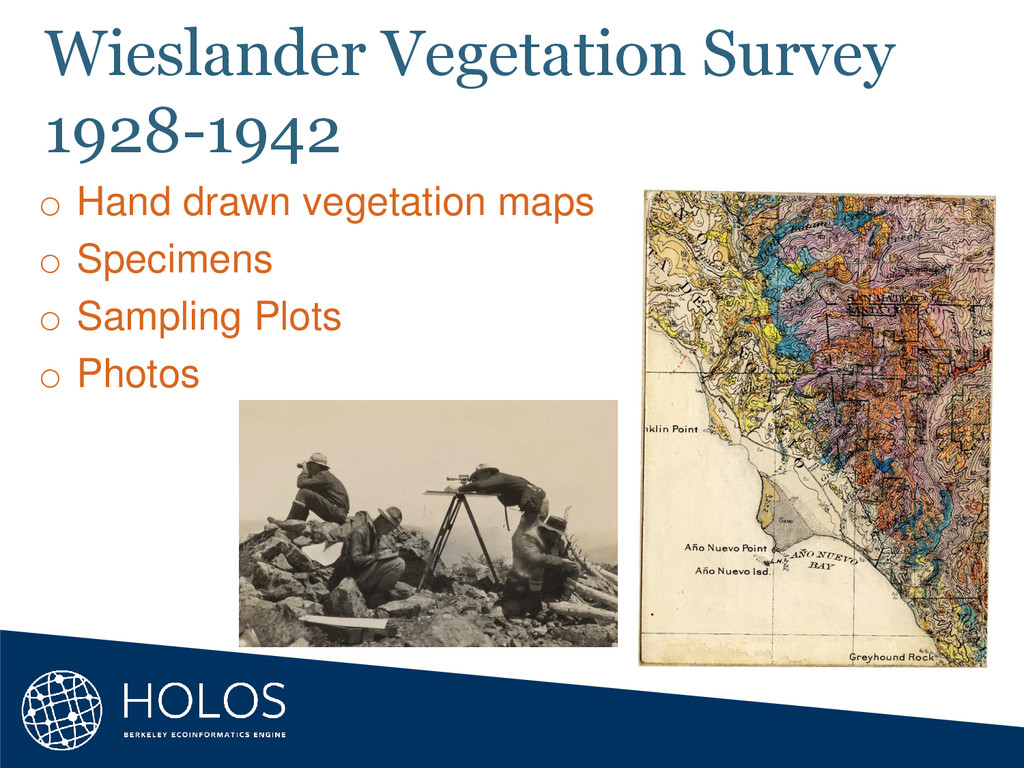
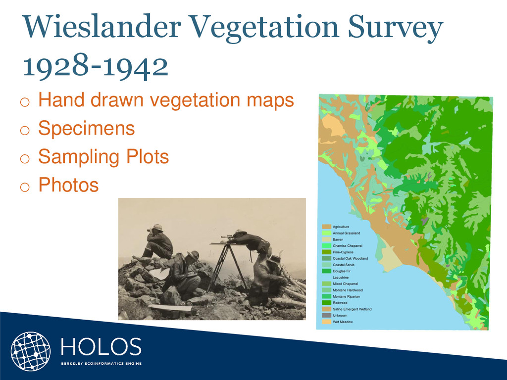
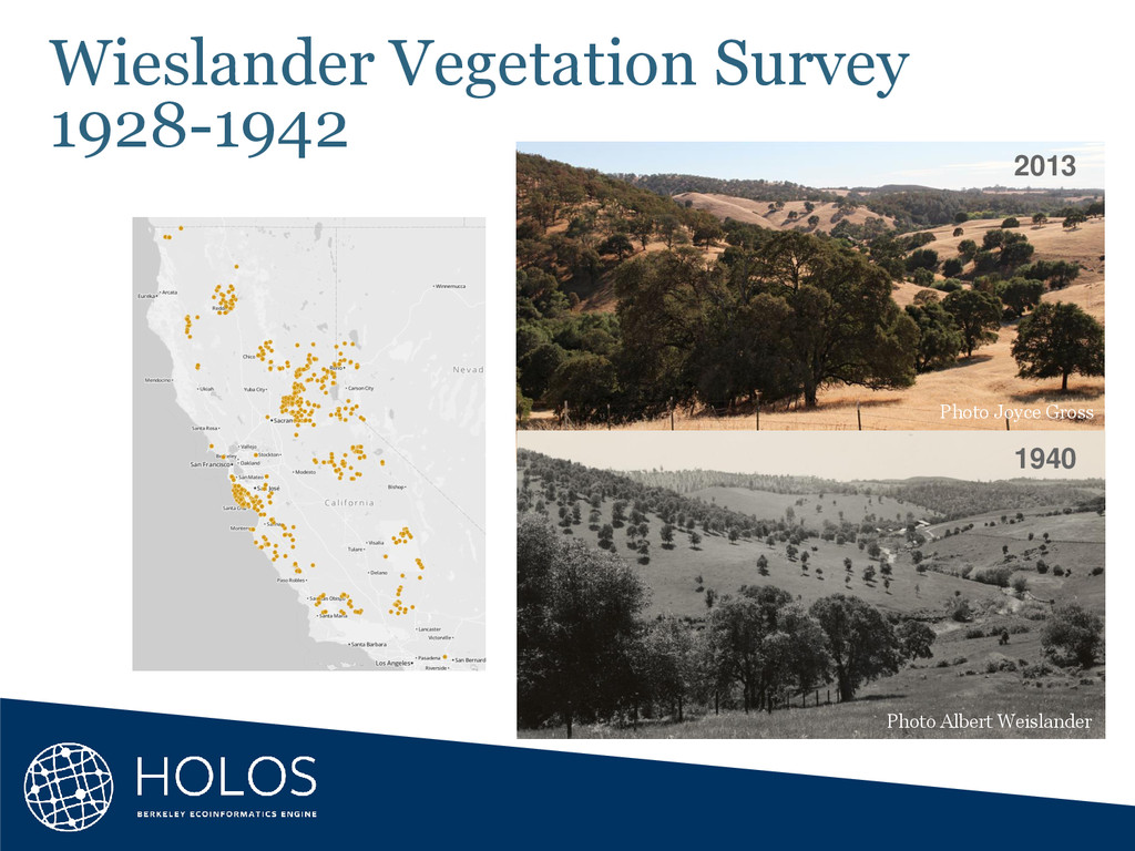
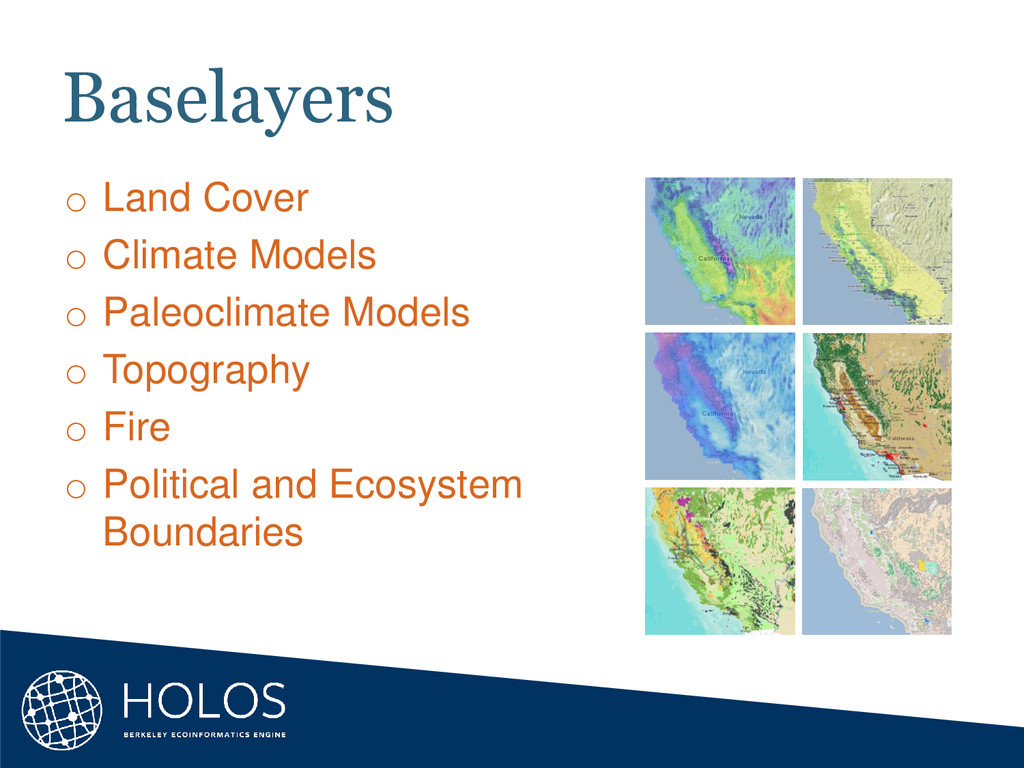
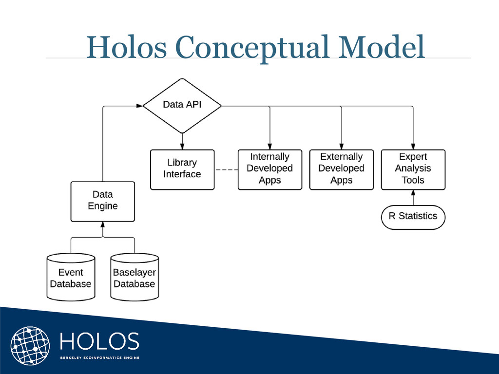
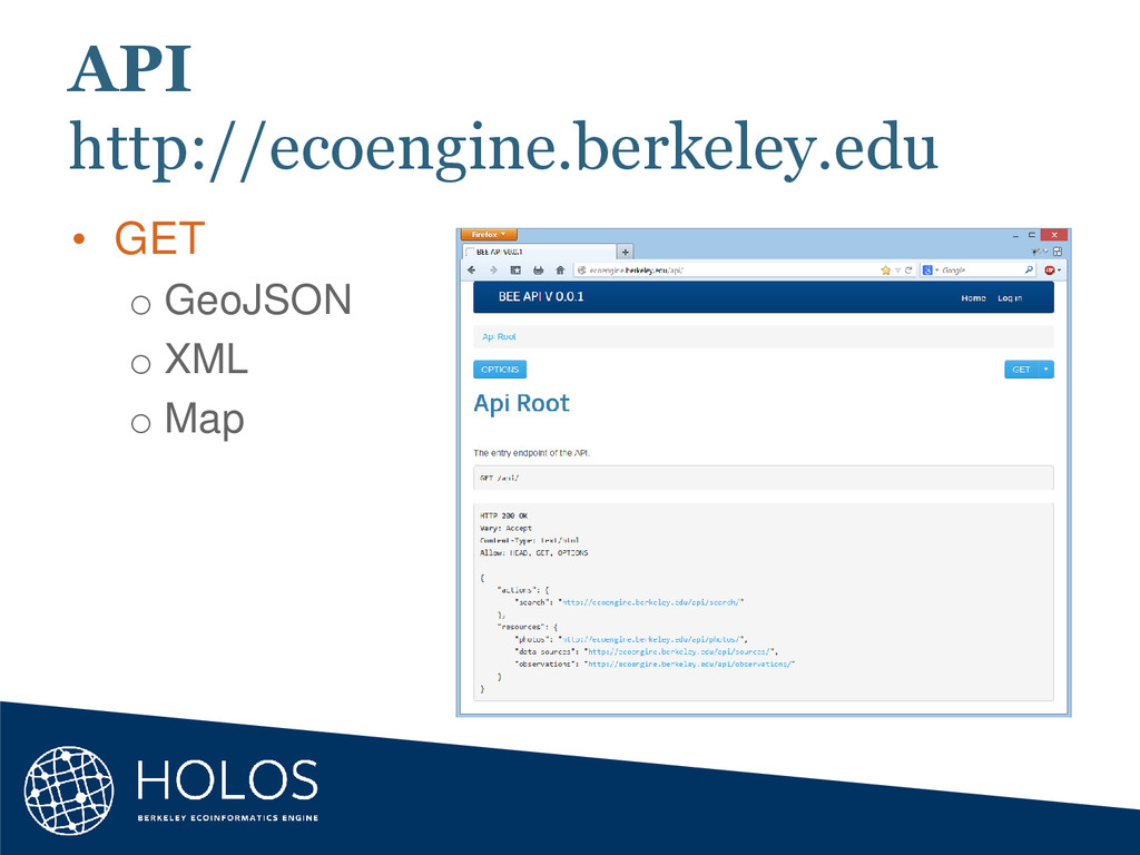
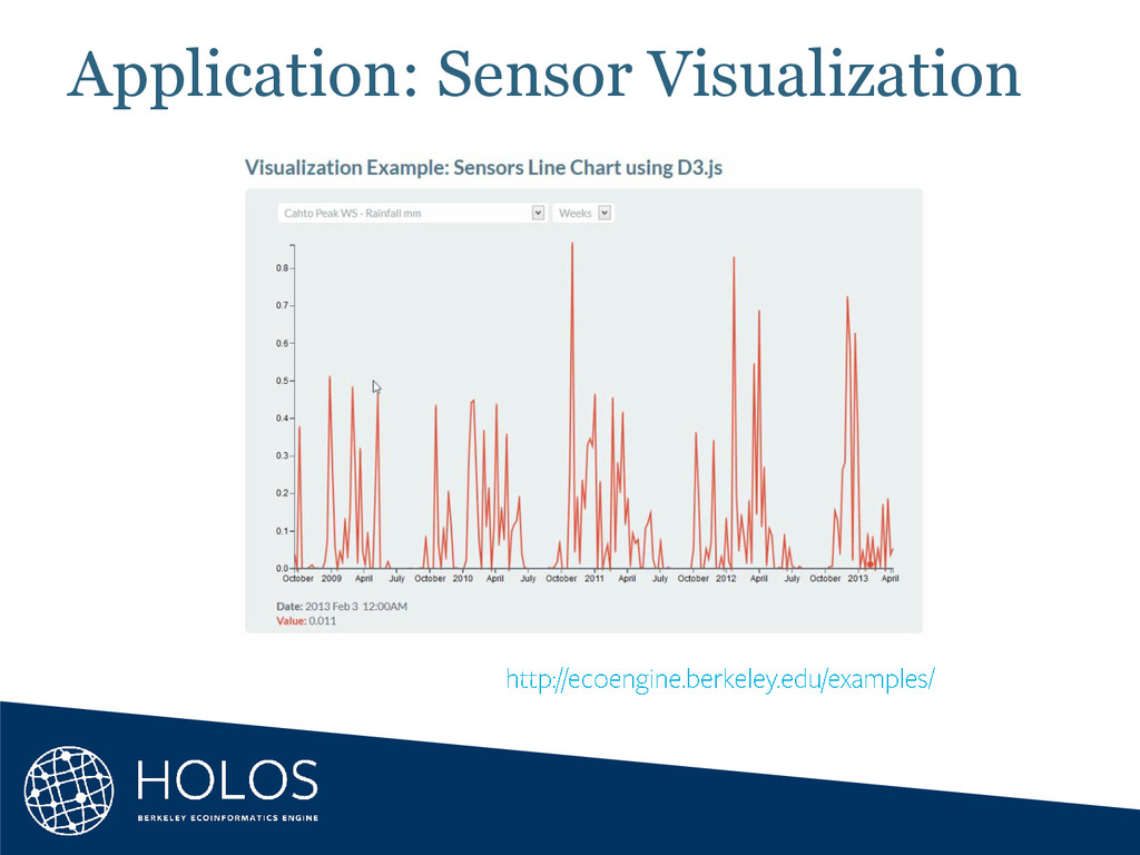
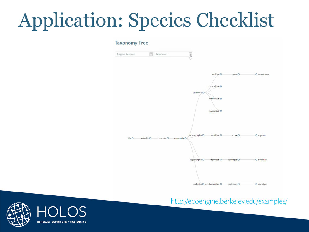
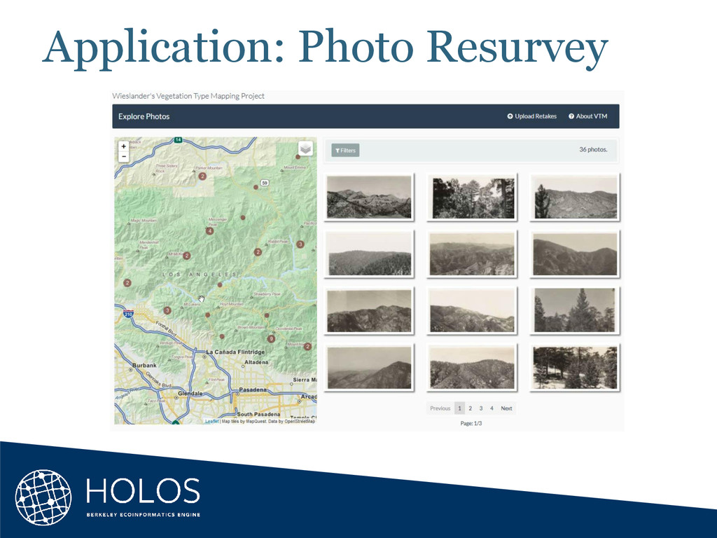
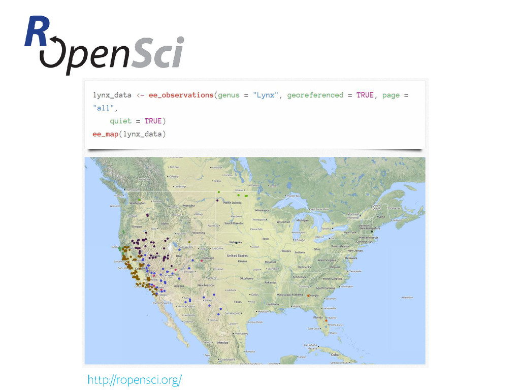
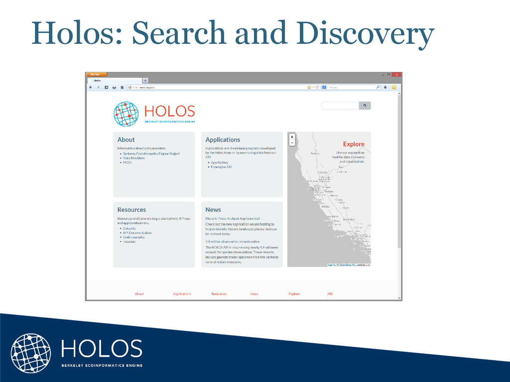
Collecting and analyzing data about the Earth, its inhabitants, and the ecological processes that tie them all together has been at the forefront of our desire to understand the world around us for many centuries. Natural history museums collect specimens, geographers collect aerial and satellite imagery, and sensor networks collect field measurements — all producing volumes of data that are bound by space, place, and time. But we still have so much more to learn. Drawing correlations between these data sources is key to understanding the complexity of our natural world and projecting how it may change in the future. UC Berkeley’s Geospatial Innovation Facility and its partners are developing web applications to help scientists, decision makers, and the general public understand environmental and social issues relating to climate change and biodiversity. I will talk about our Cal-Adapt and Berkeley Ecoinformatics Engine projects as primary examples.


 jonoalderson
 jlugia
 ipullrank
 philnash
 codingconduct
 palkan
 auna
 chriscoyier
 3n
 baasie
 helmedeiros
 skipperchong