Upgrade to Pro — share decks privately, control downloads, hide ads and more …

Integration Points for Property Tax, CAMA, & GIS

Jason A. Crome
April 16, 2013
170

Integration Points for Property Tax, CAMA, & GIS

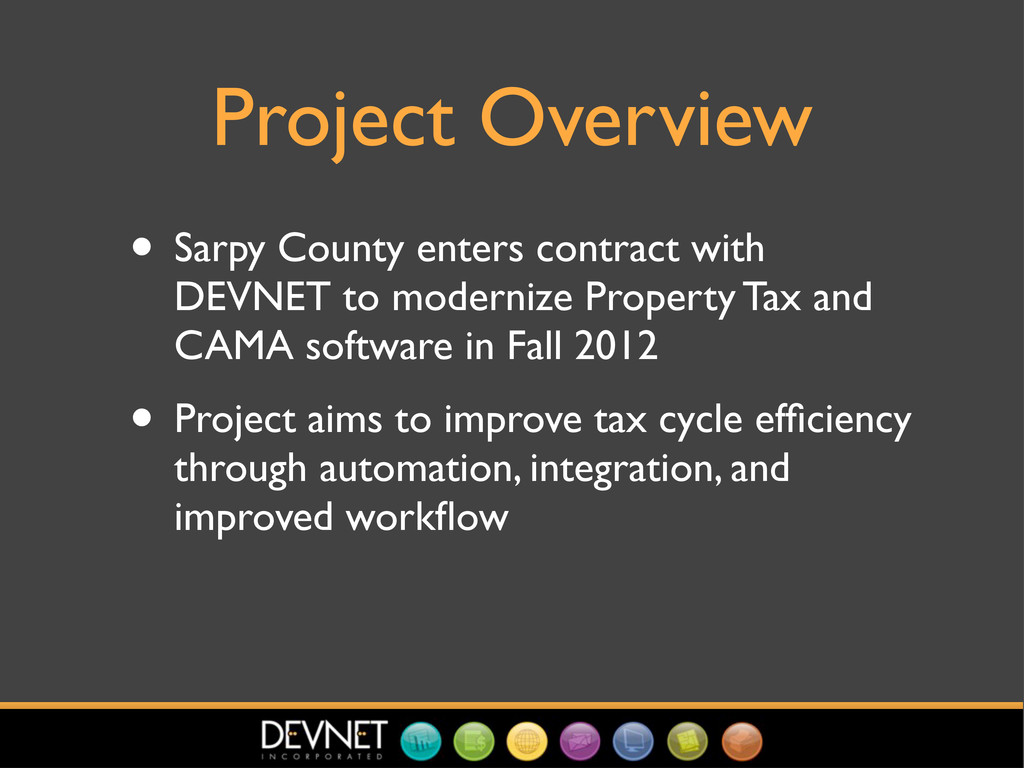
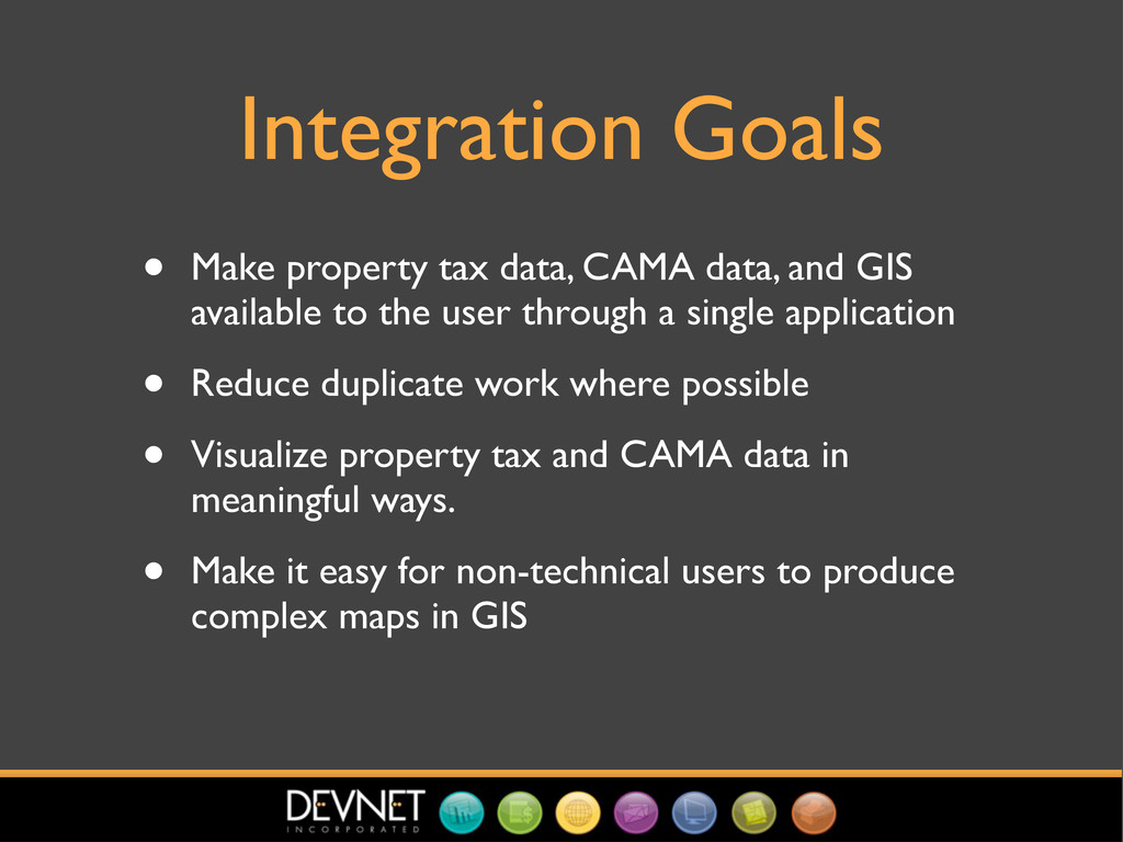
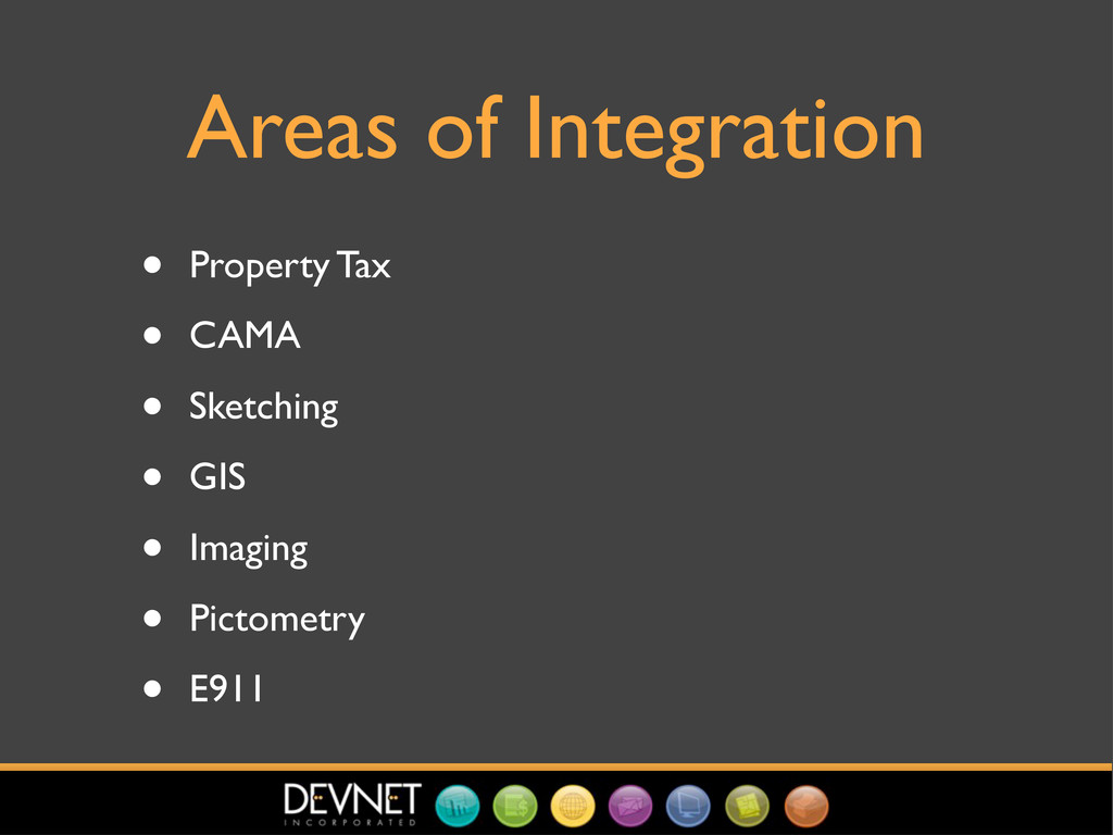
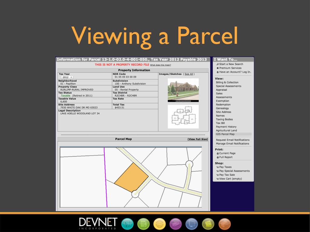
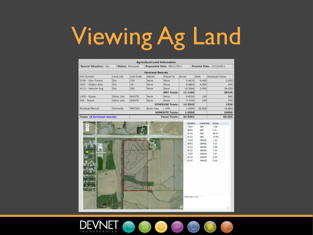
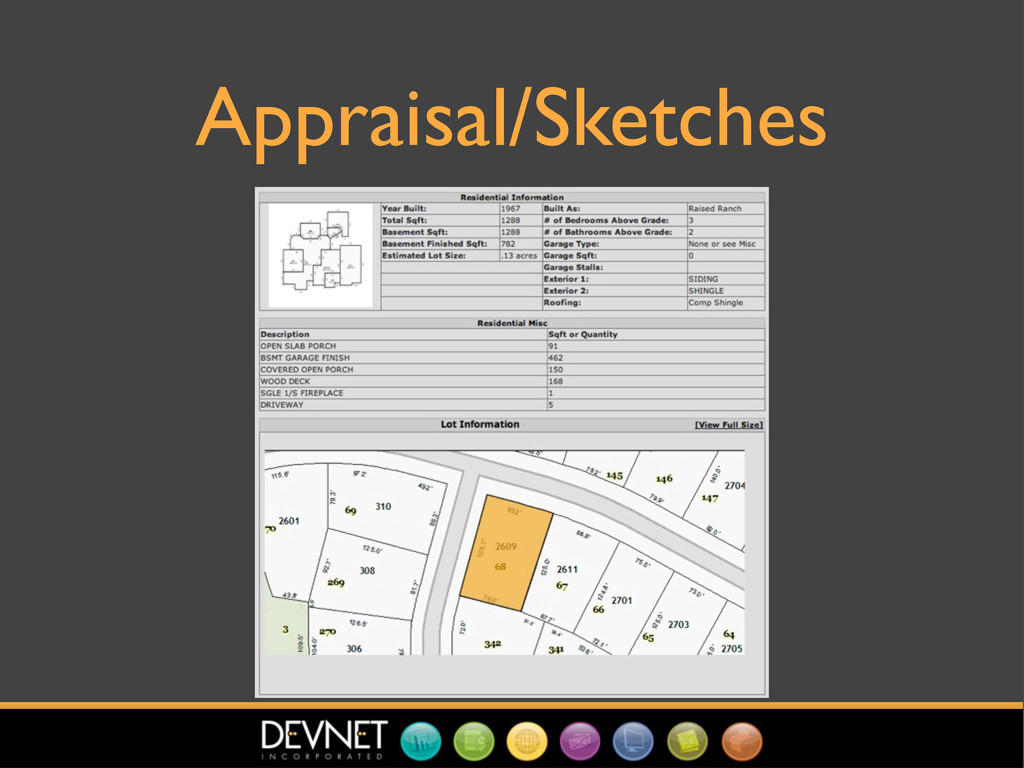
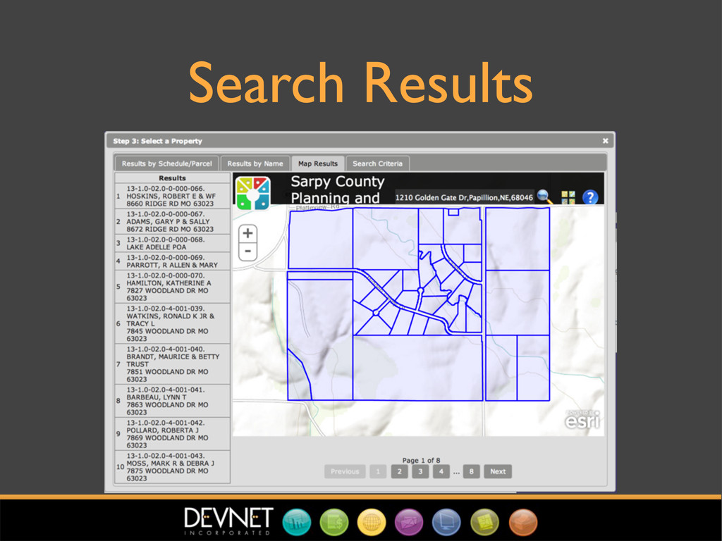
How DEVNET and Sarpy County, NE are working together to make property valuation and taxation easier by fully integrating property tax, mass appraisal (CAMA), and geographic information systems (GIS).

Presented at the biannual meeting of the Nebraska GIS/LIS Association in Kearney, NE, April 2013.

Jason A. Crome

April 16, 2013
Tweet

Transcript

  1. Integration Points for Property Tax, CAMA, & GIS Jason A.

    Crome Vice President of Software Development, DEVNET, Inc. 2013 Nebraska GIS/LIS Biennial Symposium April 16, 2013
  2. Project Overview • Sarpy County enters contract with DEVNET to

    modernize Property Tax and CAMA software in Fall 2012 • Project aims to improve tax cycle efficiency through automation, integration, and improved workflow
  3. Integration Goals • Make property tax data, CAMA data, and

    GIS available to the user through a single application • Reduce duplicate work where possible • Visualize property tax and CAMA data in meaningful ways. • Make it easy for non-technical users to produce complex maps in GIS
  4. Areas of Integration • Property Tax • CAMA • Sketching

    • GIS • Imaging • Pictometry • E911
  5. Options • Use Esri APIs • Use existing county GIS

    applications • Do something else (!!!)
  6. Use County Apps • Faster time to production • Browser-based;

    easy to embed • County users already familiar with them • Cooperative county GIS department makes this easy and attractive
  7. Interface Options • Pass parcels through URL • Exchange parcel

    data through shared database table(s) • Web Services
  8. Pass Parcels through URL • Advantages: Easy to implement •

    Disadvantages: slow, breaks down for large result sets (unexpected truncation of URLs)
  9. Web Services • Advantages: well-accepted, well- documented, lots of good

    tools for creating/consuming • Disadvantages: lots of crappy tools for creating/consuming, sometimes slow, sometimes quirky, often verbose (XML, anyone?)
  10. Shared Database Table • Advantages: easy to implement, fast set-

    based operations, builds cooperation and trust between IT staff and vendor(s) • Disadvantages: need cooperation and trust between IT staff and vendor(s)
  11. Implementation • Simple table containing a unique ID, session ID,

    and parcel number • Tax/CAMA apps always fill table with session ID and parcel(s) we want to map • Action-specific URL called with session ID • GIS looks into table with session ID and generates desired map
  12. Implementation (cont.) • When we want map to drive tax/CAMA,

    call GIS with session ID and blank table • After action performed in GIS, table filled with parcels and session ID • Event triggered in tax/CAMA, reads table contents, responds appropriately
  13. Splits, Combines, etc. • Parcels split/combined in GIS first •

    Addressed in E911 • By the time it gets to us, can import site address, legal description, acreage, soil data
  14. How? • Have direct read access into county geodatabase •

    County tells us where to find the data we care about
  15. Other Desktop Integration Points • Comparable Properties • Ratio Studies

    • Neighborhoods • ....Anywhere we have a list of parcels