Upgrade to Pro
— share decks privately, control downloads, hide ads and more …
Speaker Deck
Features
Speaker Deck
PRO
Sign in
Sign up for free
Search
Search
Drones Survey Example
Search
Sponsored
·
Your Podcast. Everywhere. Effortlessly.
Share. Educate. Inspire. Entertain. You do you. We'll handle the rest.
→
taiguryokan
November 05, 2016
Science
0
80
Drones Survey Example
Aerial photography techniques using drones, and Survey example
taiguryokan
November 05, 2016
Tweet
Share
Other Decks in Science
See All in Science
Navigating Weather and Climate Data
rabernat
0
100
People who frequently use ChatGPT for writing tasks are accurate and robust detectors of AI-generated text
rudorudo11
0
190
やるべきときにMLをやる AIエージェント開発
fufufukakaka
2
1.1k
【論文紹介】Is CLIP ideal? No. Can we fix it?Yes! 第65回 コンピュータビジョン勉強会@関東
shun6211
5
2.3k
データマイニング - グラフデータと経路
trycycle
PRO
1
280
データベース12: 正規化(2/2) - データ従属性に基づく正規化
trycycle
PRO
0
1.1k
2025-06-11-ai_belgium
sofievl
1
220
HDC tutorial
michielstock
1
370
主成分分析に基づく教師なし特徴抽出法を用いたコラーゲン-グリコサミノグリカンメッシュの遺伝子発現への影響
tagtag
PRO
0
180
凸最適化からDC最適化まで
santana_hammer
1
350
データベース15: ビッグデータ時代のデータベース
trycycle
PRO
0
440
機械学習 - SVM
trycycle
PRO
1
980
Featured
See All Featured
Everyday Curiosity
cassininazir
0
130
Leading Effective Engineering Teams in the AI Era
addyosmani
9
1.6k
How to build an LLM SEO readiness audit: a practical framework
nmsamuel
1
640
Why You Should Never Use an ORM
jnunemaker
PRO
61
9.7k
<Decoding/> the Language of Devs - We Love SEO 2024
nikkihalliwell
1
130
ラッコキーワード サービス紹介資料
rakko
1
2.2M
Site-Speed That Sticks
csswizardry
13
1.1k
GitHub's CSS Performance
jonrohan
1032
470k
So, you think you're a good person
axbom
PRO
2
1.9k
Data-driven link building: lessons from a $708K investment (BrightonSEO talk)
szymonslowik
1
910
CSS Pre-Processors: Stylus, Less & Sass
bermonpainter
359
30k
Reality Check: Gamification 10 Years Later
codingconduct
0
2k
Transcript
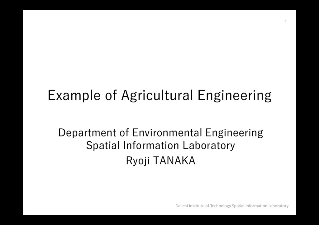
Department of Environmental Engineering Spatial Information Laboratory Ryoji TANAKA Daiichi
Institute of Technology Spatial Information Laboratory 1 Example of Agricultural Engineering
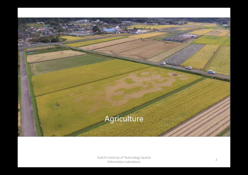
Daiichi Institute of Technology Spatial Information Labolatory 2
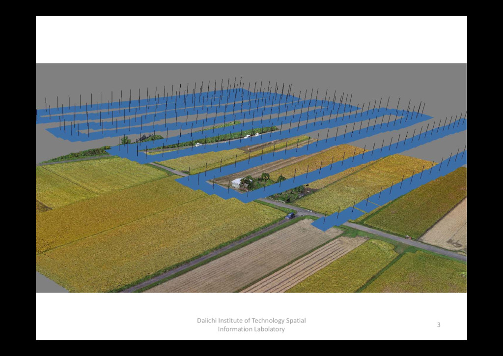
Daiichi Institute of Technology Spatial Information Labolatory 3
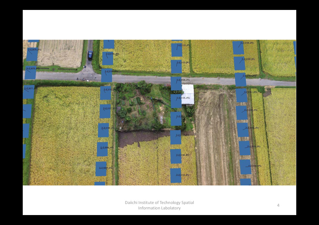
Daiichi Institute of Technology Spatial Information Labolatory 4
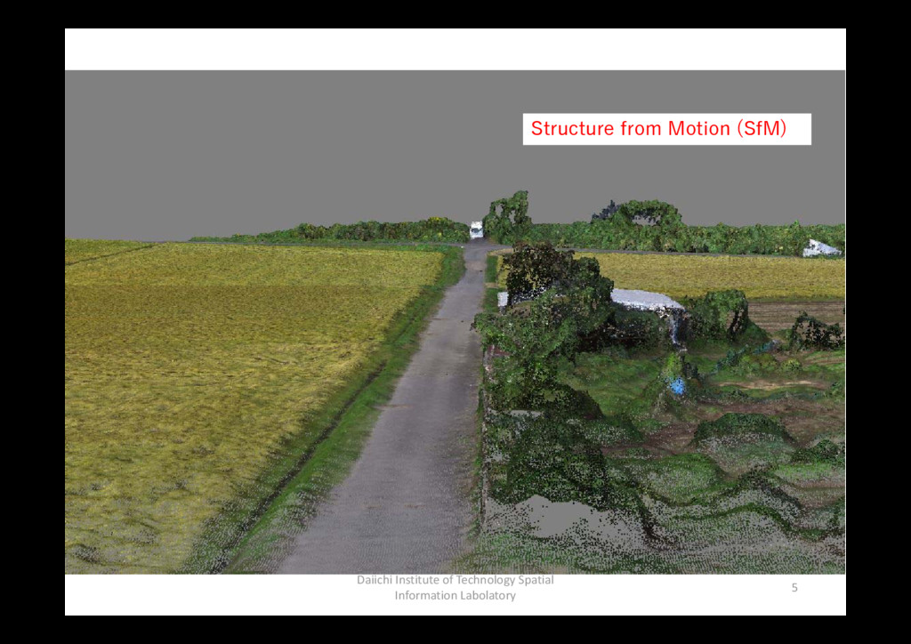
Daiichi Institute of Technology Spatial Information Labolatory 5 Structure from
Motion (SfM)
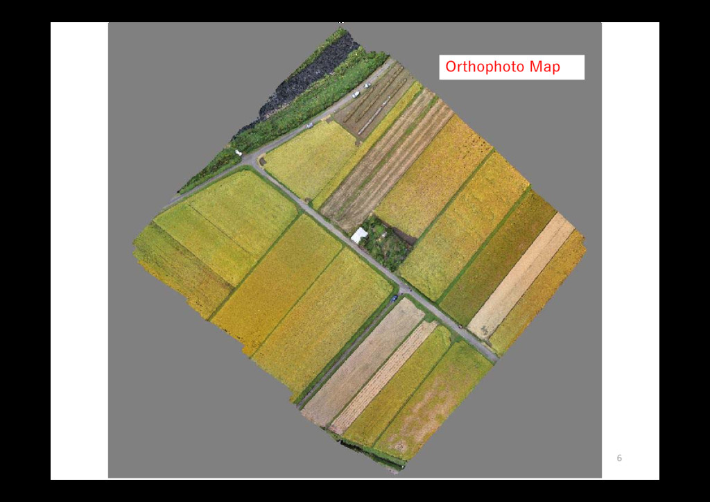
Daiichi Institute of Technology Spatial Information Labolatory 6 Orthophoto Map
Daiichi Institute of Technology Spatial Information Labolatory 7
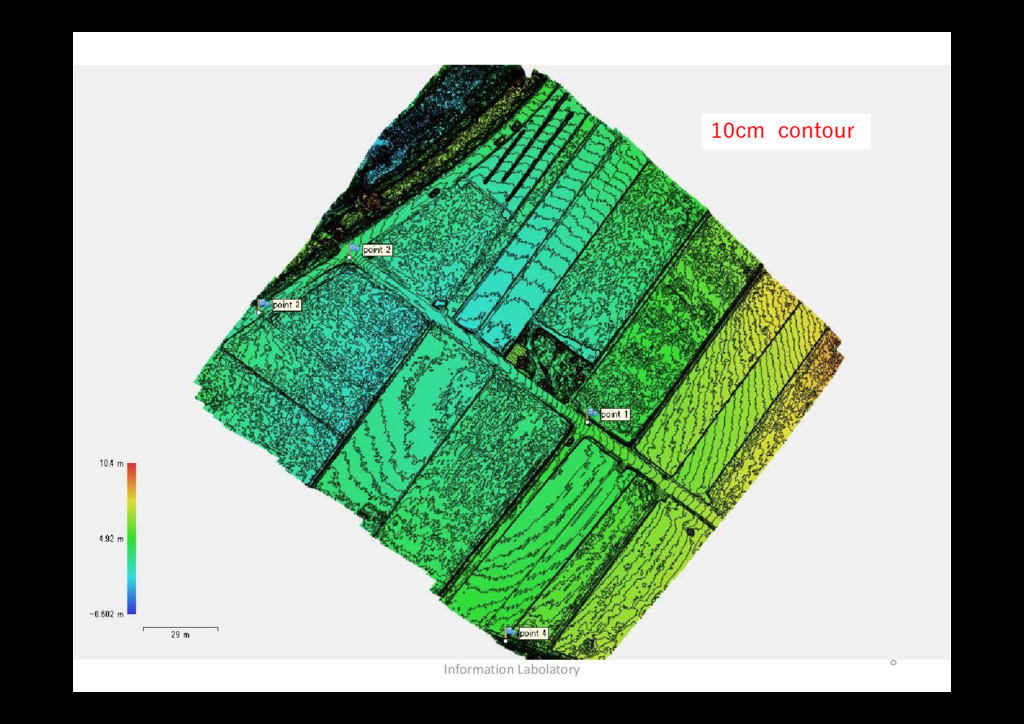
Daiichi Institute of Technology Spatial Information Labolatory 8 10cm contour
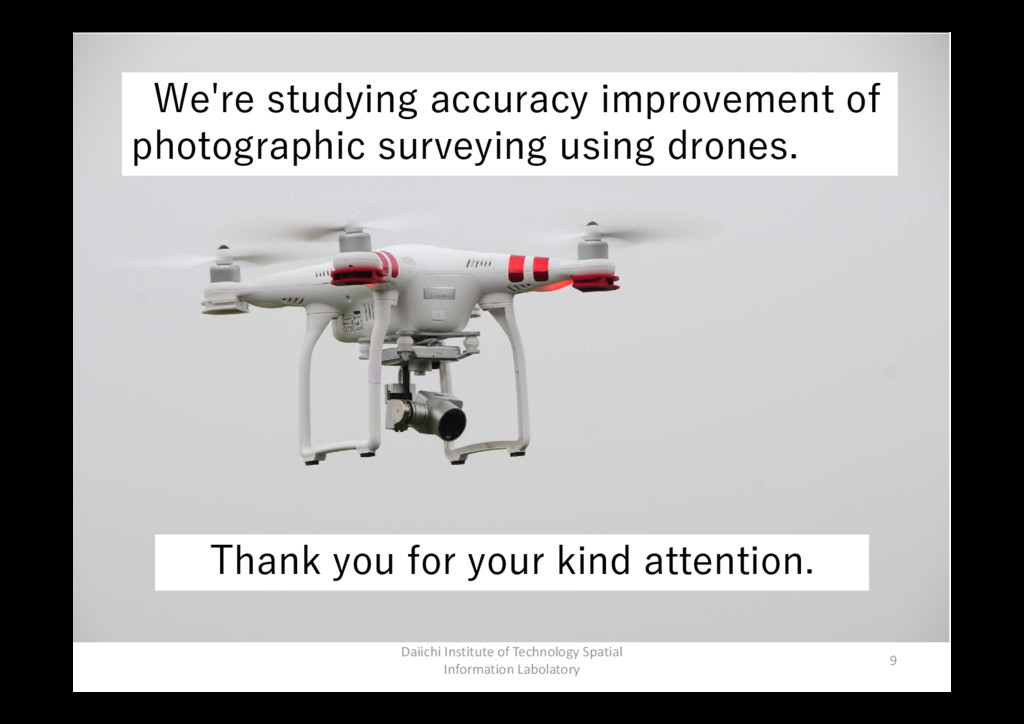
Daiichi Institute of Technology Spatial Information Labolatory 9 We're studying
accuracy improvement of photographic surveying using drones. Thank you for your kind attention.