Upgrade to Pro — share decks privately, control downloads, hide ads and more …

Connecting APIs for Smart Cities

Sponsored · Ship Features Fearlessly Turn features on and off without deploys. Used by thousands of Ruby developers. →

Connecting APIs for Smart Cities

FME World Tour presentation about a demo developed with FME and javascript

Avatar for Gerard Casas

Gerard Casas

April 12, 2016

Other Decks in Technology

Transcript

  1. connecting apis for smart cities: citybikes Gerard Casas Saez April

    12, 2016 Universitat Politècnica de Catalunya
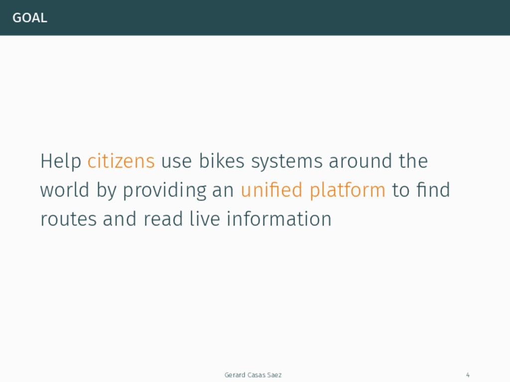
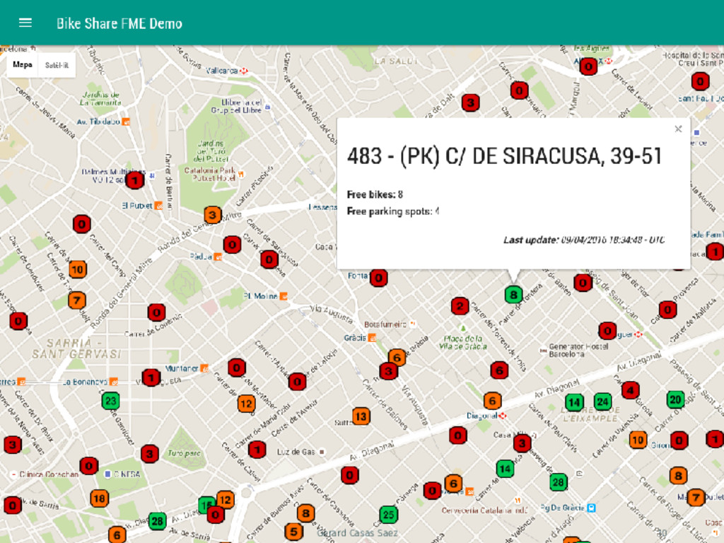
  2. goal Help citizens use bikes systems around the world by

    providing an unified platform to find routes and read live information Gerard Casas Saez 4
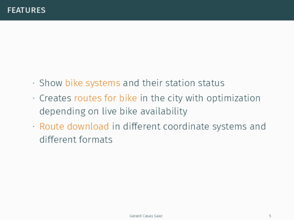
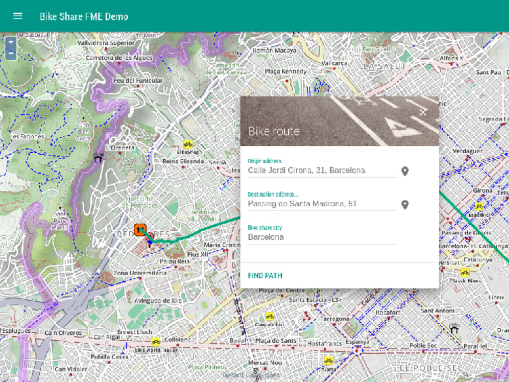
  3. features ∙ Show bike systems and their station status ∙

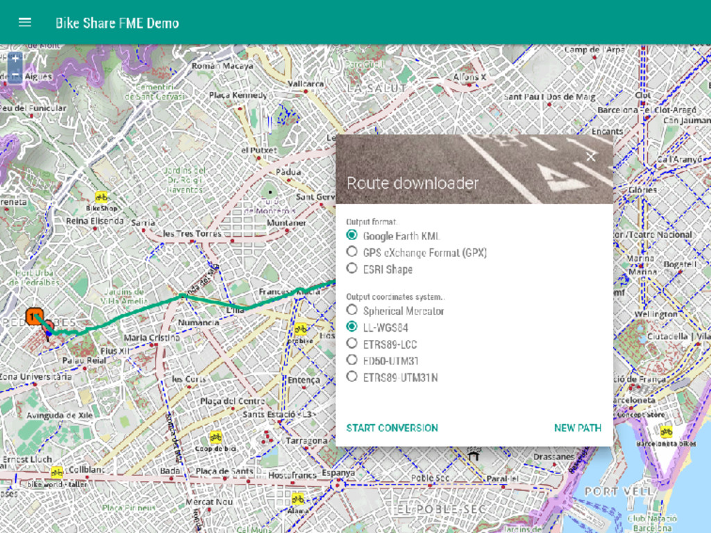
    Creates routes for bike in the city with optimization depending on live bike availability ∙ Route download in different coordinate systems and different formats Gerard Casas Saez 5
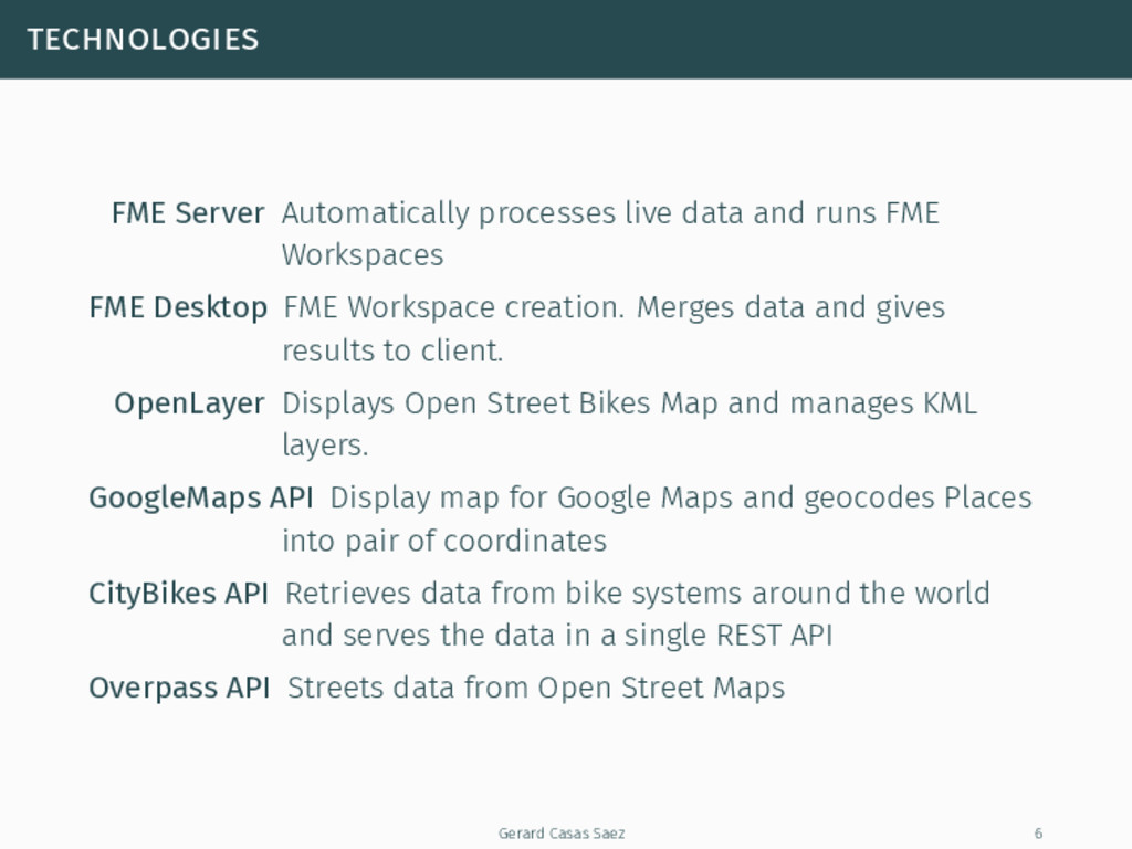
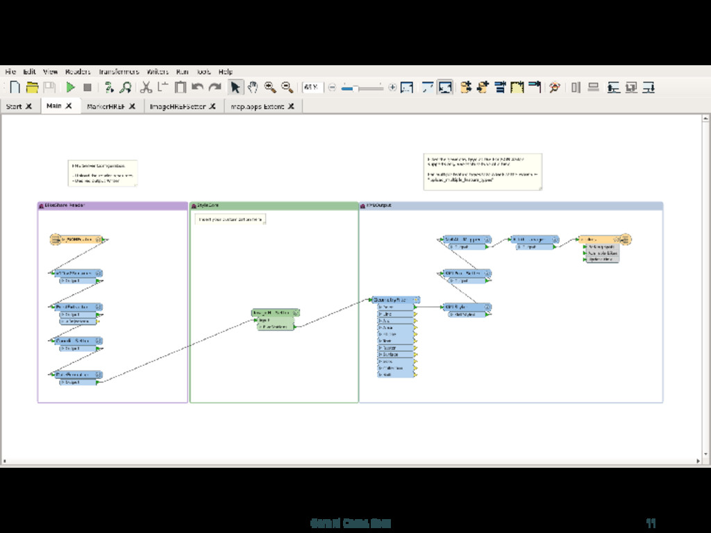
  4. technologies FME Server Automatically processes live data and runs FME

    Workspaces FME Desktop FME Workspace creation. Merges data and gives results to client. OpenLayer Displays Open Street Bikes Map and manages KML layers. GoogleMaps API Display map for Google Maps and geocodes Places into pair of coordinates CityBikes API Retrieves data from bike systems around the world and serves the data in a single REST API Overpass API Streets data from Open Street Maps Gerard Casas Saez 6
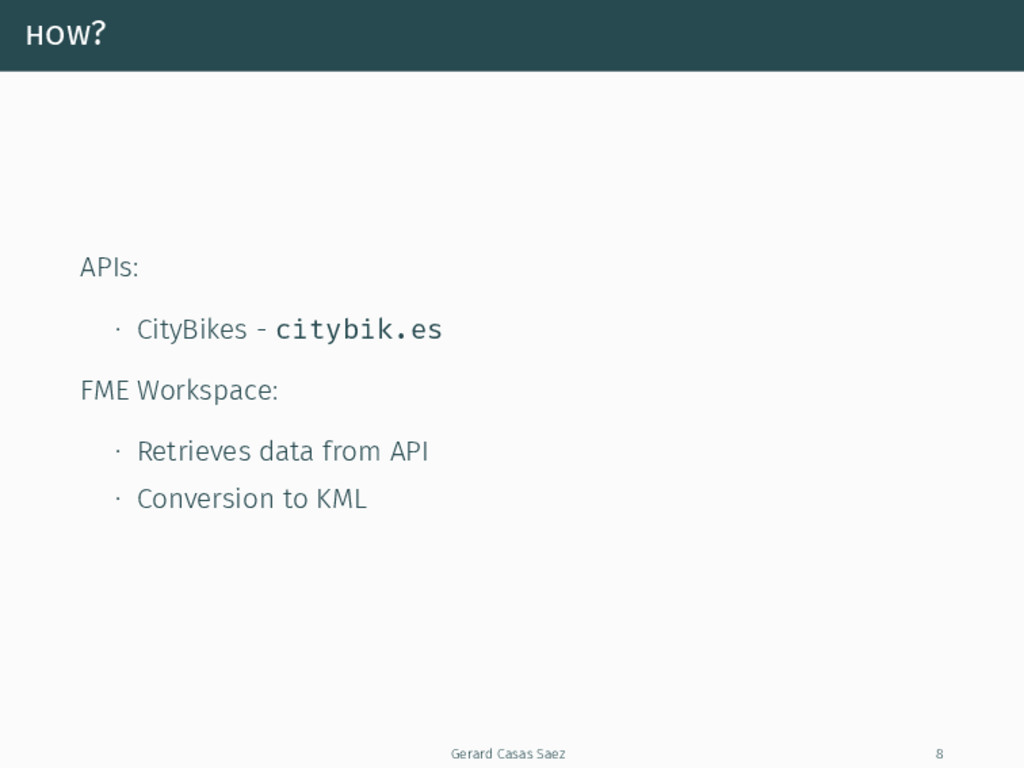
  5. how? APIs: ∙ CityBikes - citybik.es FME Workspace: ∙ Retrieves

    data from API ∙ Conversion to KML Gerard Casas Saez 8
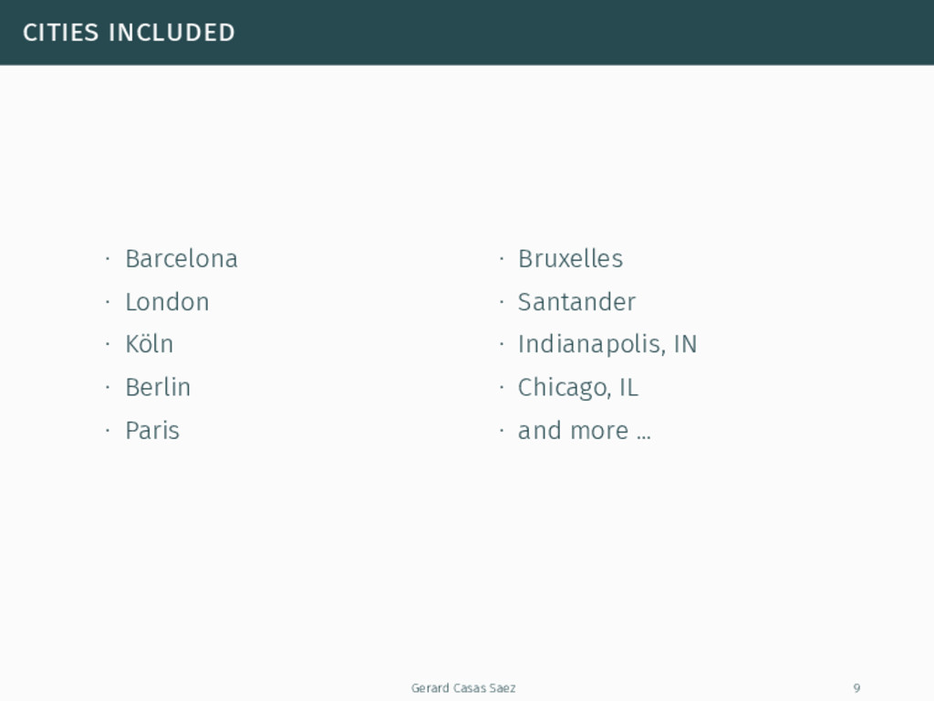
  6. cities included ∙ Barcelona ∙ London ∙ Köln ∙ Berlin

    ∙ Paris ∙ Bruxelles ∙ Santander ∙ Indianapolis, IN ∙ Chicago, IL ∙ and more ... Gerard Casas Saez 9
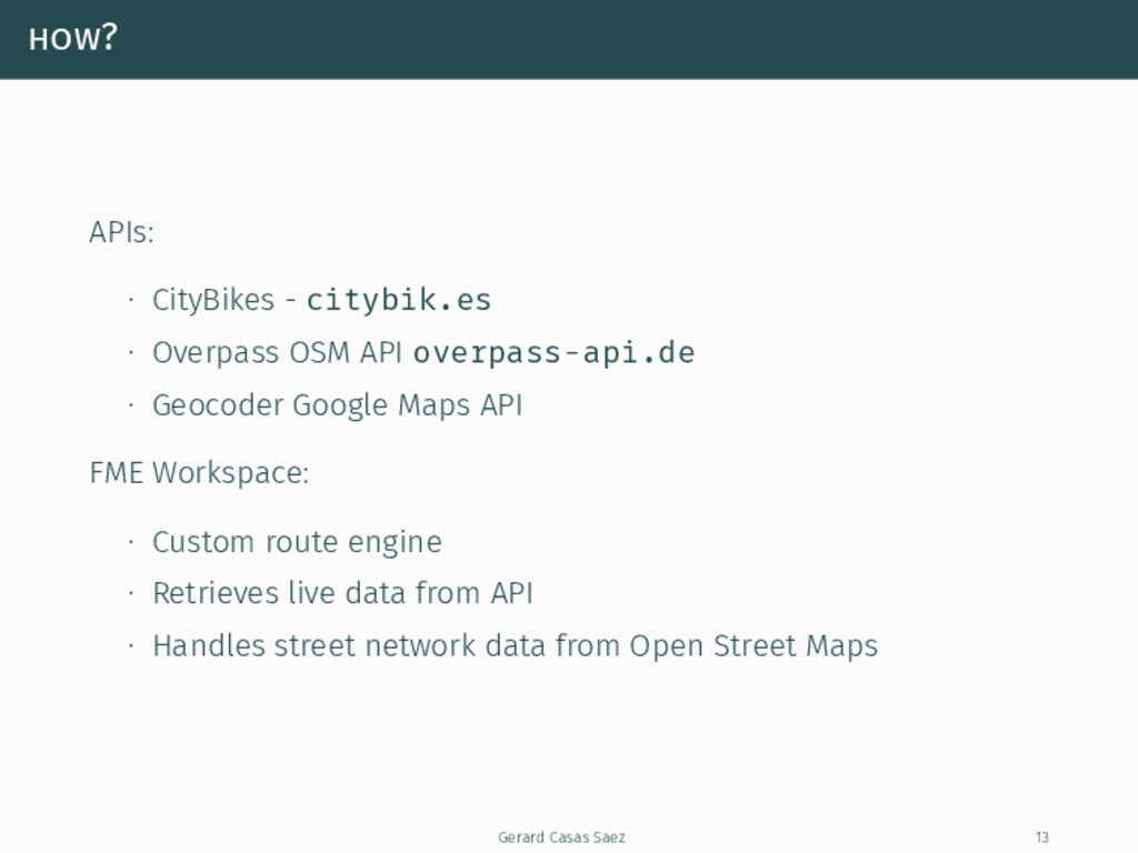
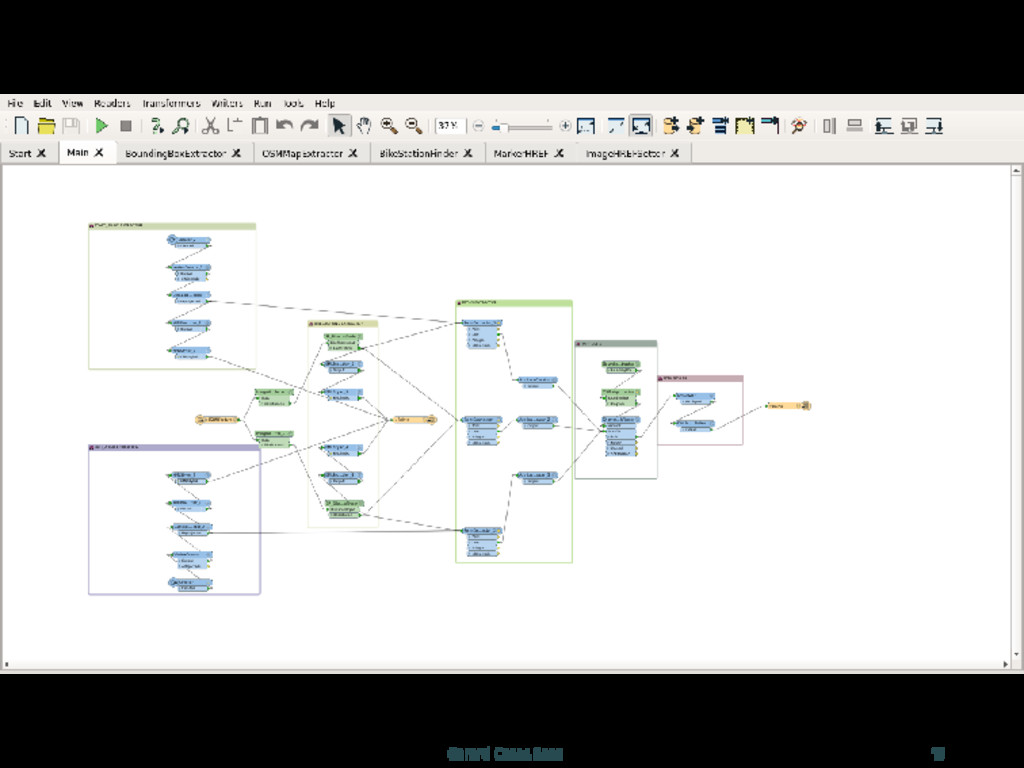
  7. how? APIs: ∙ CityBikes - citybik.es ∙ Overpass OSM API

    overpass-api.de ∙ Geocoder Google Maps API FME Workspace: ∙ Custom route engine ∙ Retrieves live data from API ∙ Handles street network data from Open Street Maps Gerard Casas Saez 13
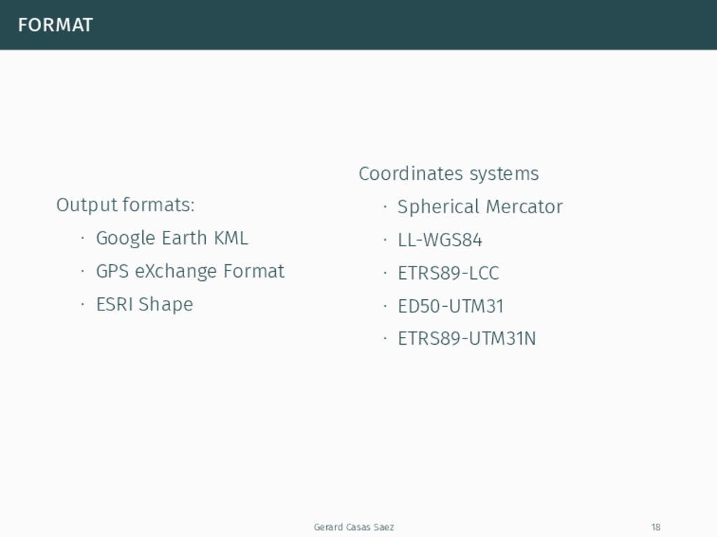
  8. format Output formats: ∙ Google Earth KML ∙ GPS eXchange

    Format ∙ ESRI Shape Coordinates systems ∙ Spherical Mercator ∙ LL-WGS84 ∙ ETRS89-LCC ∙ ED50-UTM31 ∙ ETRS89-UTM31N Gerard Casas Saez 18
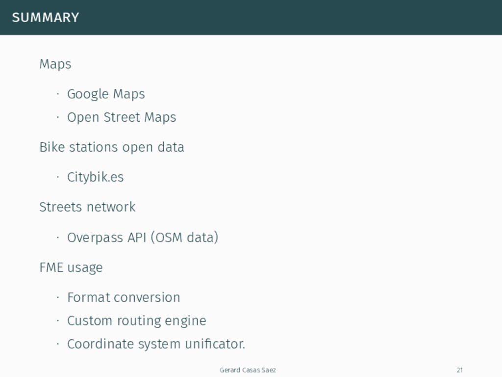
  9. summary Maps ∙ Google Maps ∙ Open Street Maps Bike

    stations open data ∙ Citybik.es Streets network ∙ Overpass API (OSM data) FME usage ∙ Format conversion ∙ Custom routing engine ∙ Coordinate system unificator. Gerard Casas Saez 21
  10. Thanks for listening! :D Name Gerard Casas Saez E-mail [email protected]

    Web casassg.github.io Twitter @casassaez Gerard Casas Saez 24