Upgrade to Pro — share decks privately, control downloads, hide ads and more …

JS.Geo 2019: On Track -- How to build map-centr...

JS.Geo 2019: On Track -- How to build map-centric web applications which support the visualization and analysis of real-time and historical data

Satellites, navigation receivers, mobiles devices. . . geo-referenced data on human
activity captured by sensors is growing in volume. Configurable and extensible
web apps support some fascinating user scenarios through visualization of real
time tracking data and analysis of historical tracking data.

This talk presents selected aspects from the implementation of a suite of map-
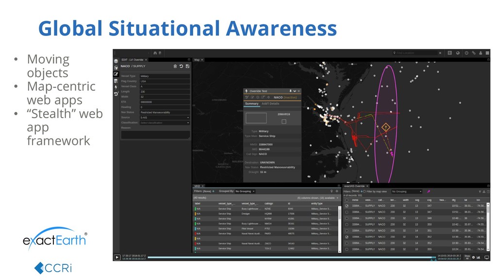
centric web applications which support real-time global situational awareness in
the maritime and airspace domains.

Avatar for Cory Eicher

Cory Eicher

May 17, 2019

Other Decks in Technology

Transcript

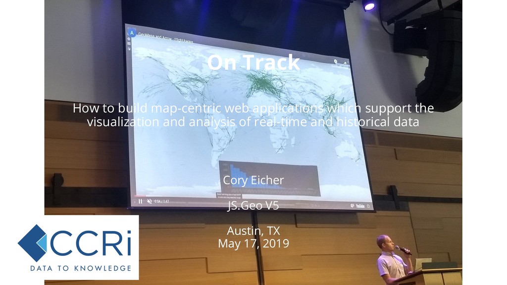
  1. Cory Eicher JS.Geo V5 Austin, TX May 17, 2019 How

    to build map-centric web applications which support the visualization and analysis of real-time and historical data On Track
  2. Our focus • Match tools to use • Perform well

    at scale • Stay flexible Today’s Talk Topics • Use cases • Operational (live) • Analytical (historic) • Architecture • Configuration
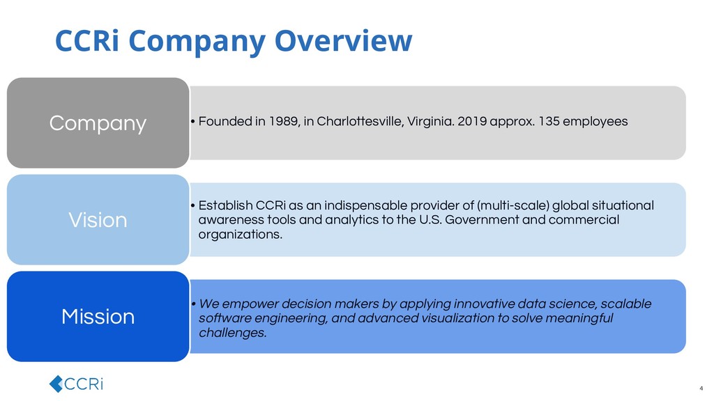
  3. • Founded in 1989, in Charlottesville, Virginia. 2019 approx. 135

    employees Company • Establish CCRi as an indispensable provider of (multi-scale) global situational awareness tools and analytics to the U.S. Government and commercial organizations. Vision • We empower decision makers by applying innovative data science, scalable software engineering, and advanced visualization to solve meaningful challenges. Mission 4 CCRi Company Overview
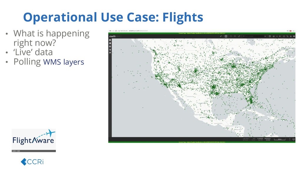
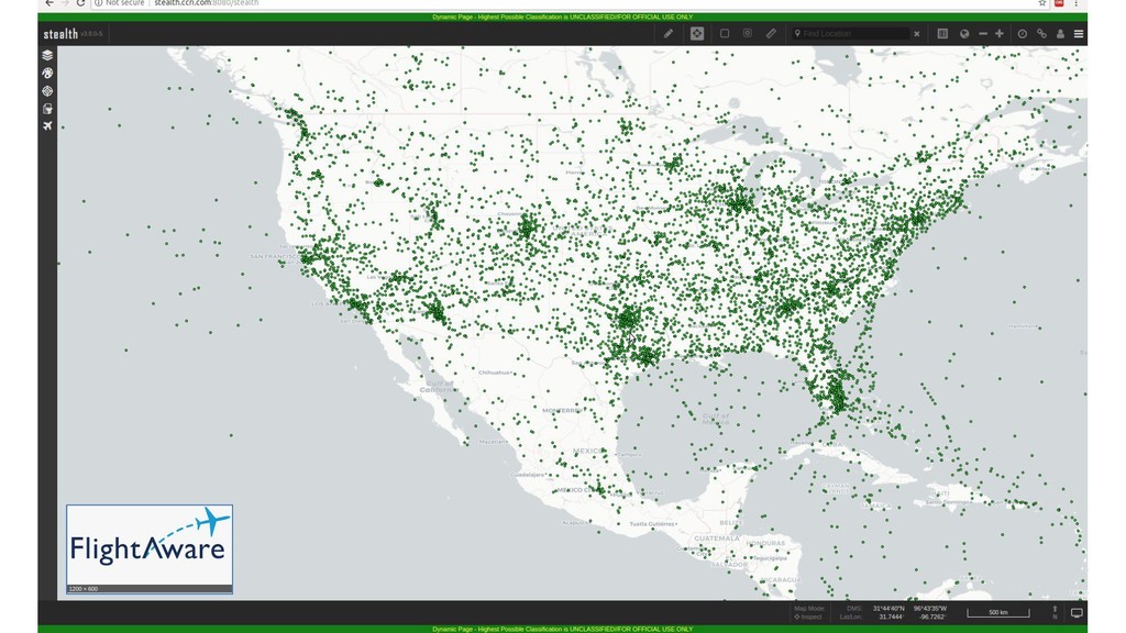
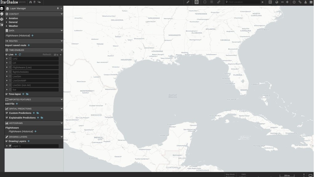
  4. Operational Use Case: Flights • What is happening right now?

    • ‘Live’ data • Polling WMS layers
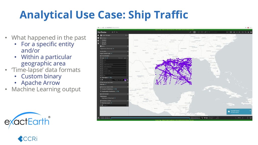
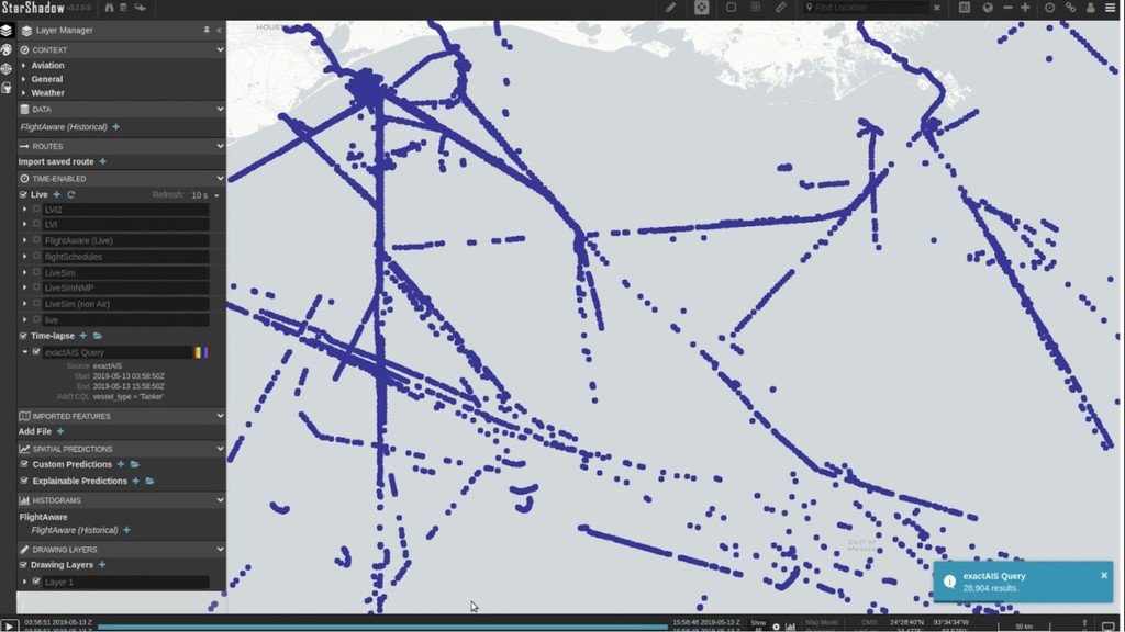
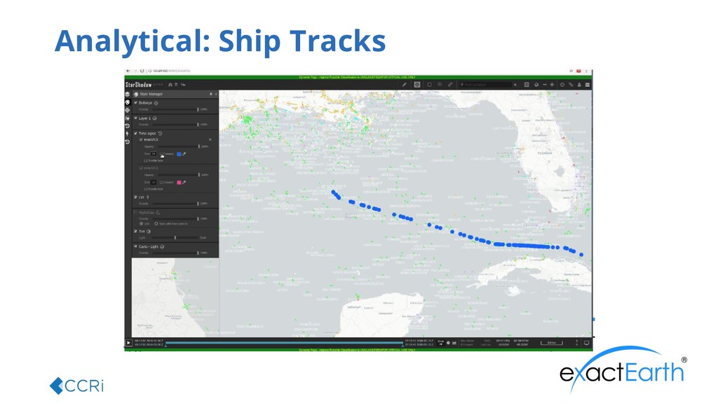
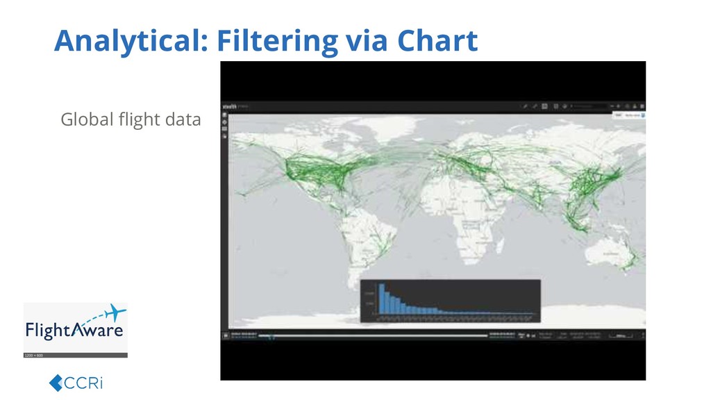
  5. • What happened in the past • For a specific

    entity and/or • Within a particular geographic area • ‘Time-lapse’ data formats • Custom binary • Apache Arrow • Machine Learning output Analytical Use Case: Ship Traffic
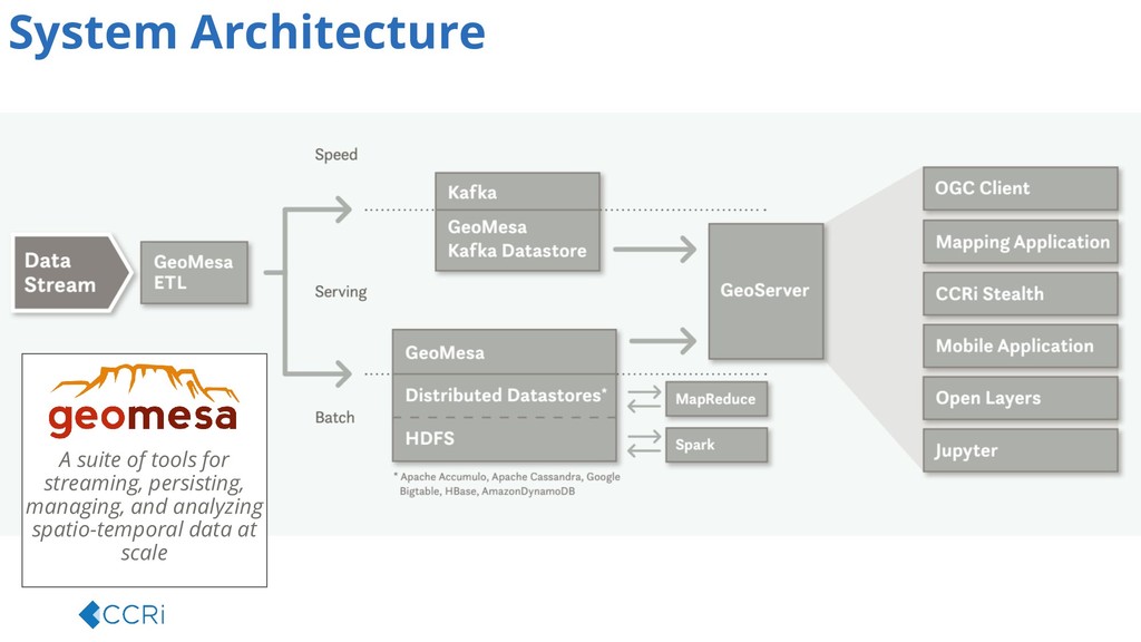
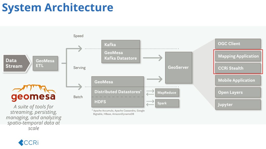
  6. A suite of tools for streaming, persisting, managing, and analyzing

    spatio-temporal data at scale System Architecture
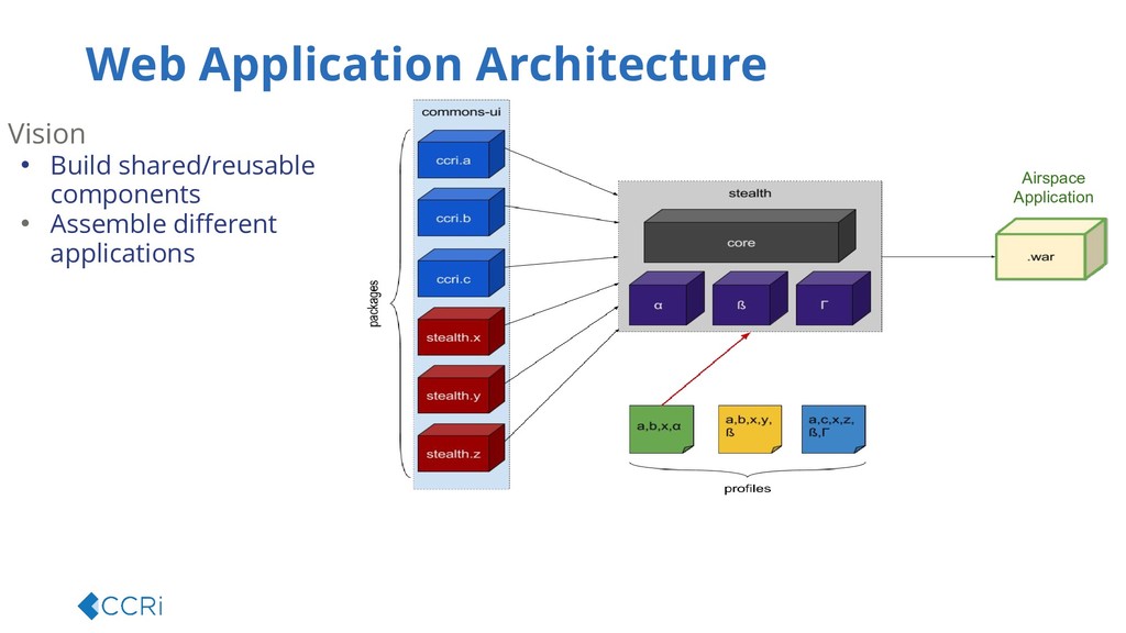
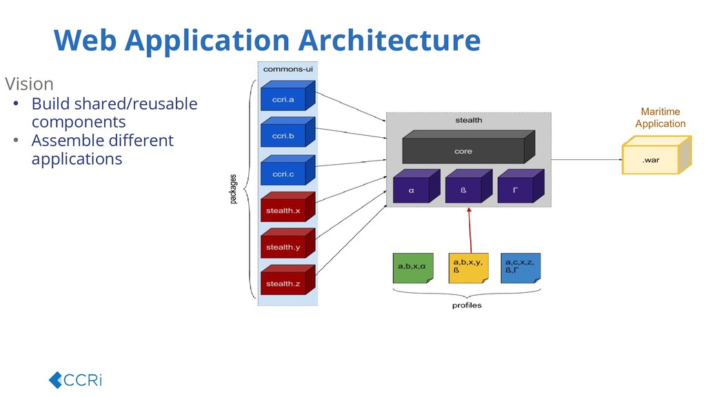
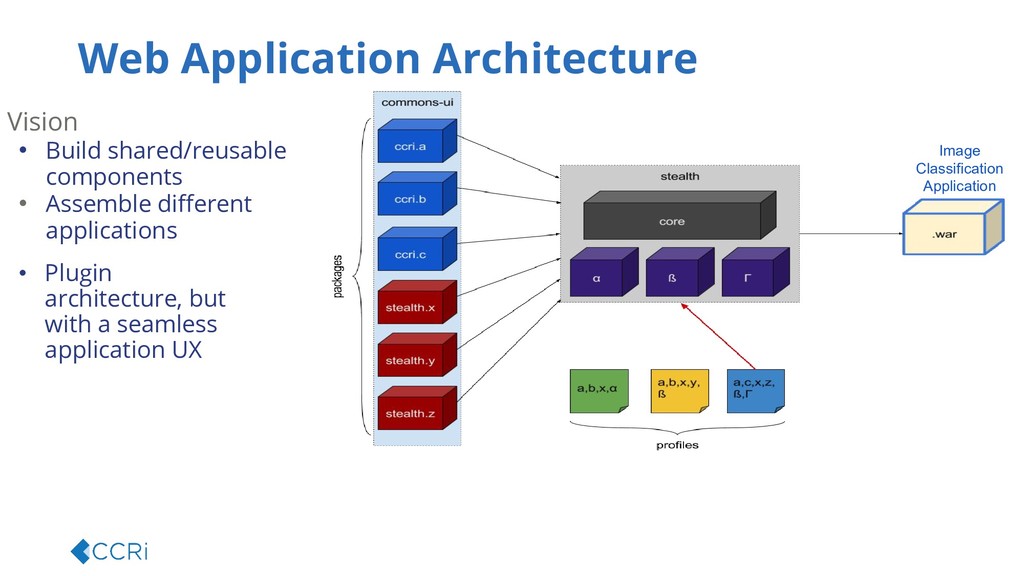
  7. Web Application Architecture Vision • Build shared/reusable components • Assemble

    different applications Image Classification Application • Plugin architecture, but with a seamless application UX
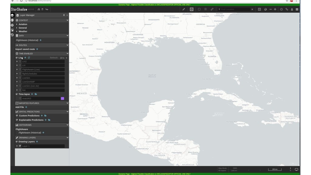
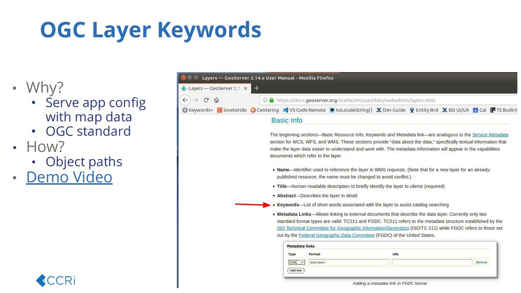
  8. • Why? • Serve app config with map data •

    OGC standard • How? • Object paths • Demo Video OGC Layer Keywords
  9. Wrap Up Our focus • Match tools to use •

    Perform well at scale • Stay flexible