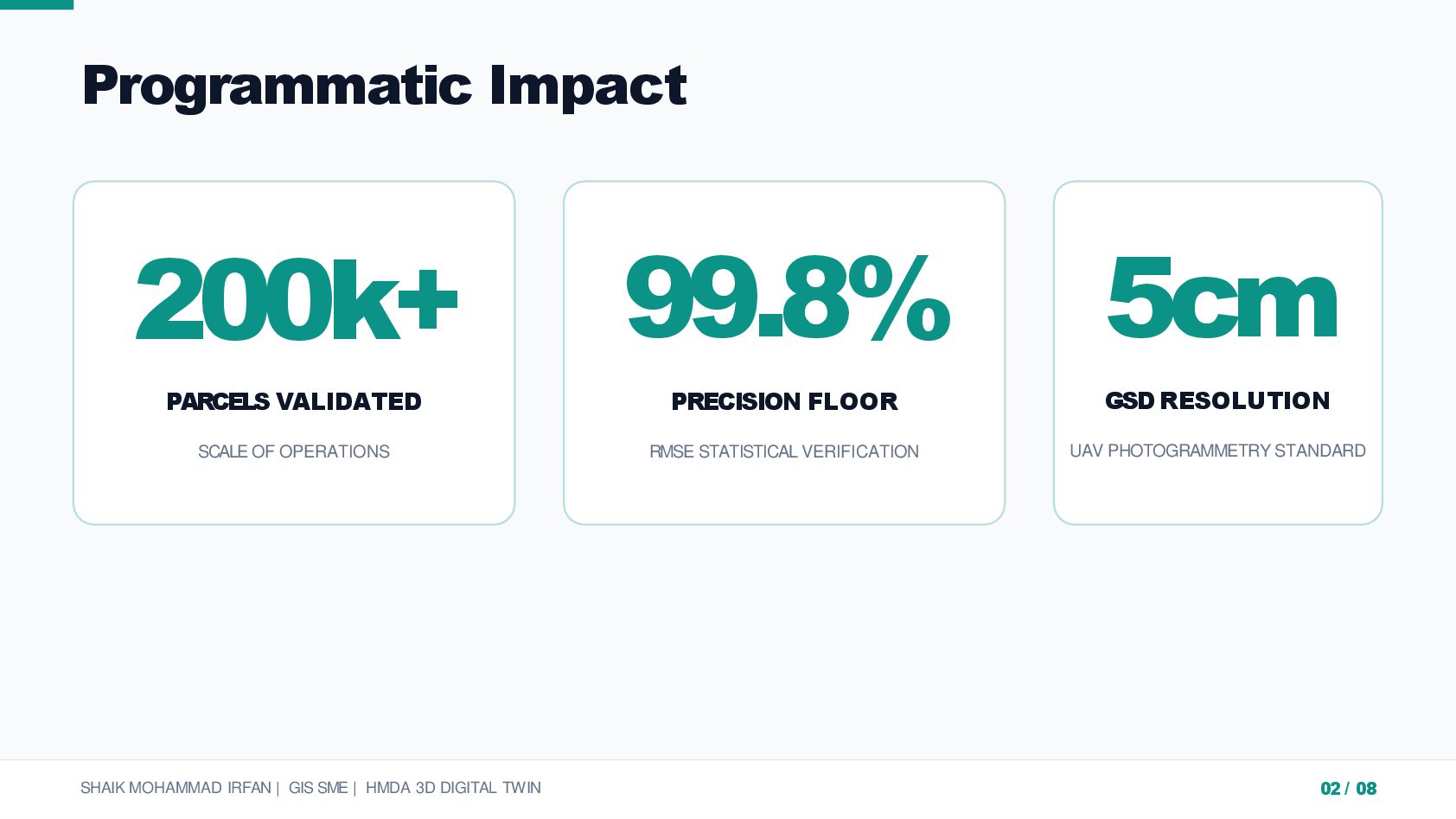
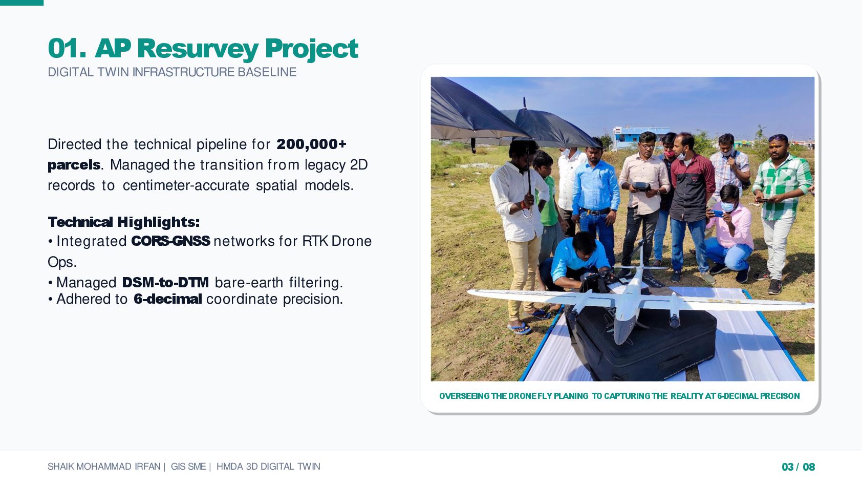
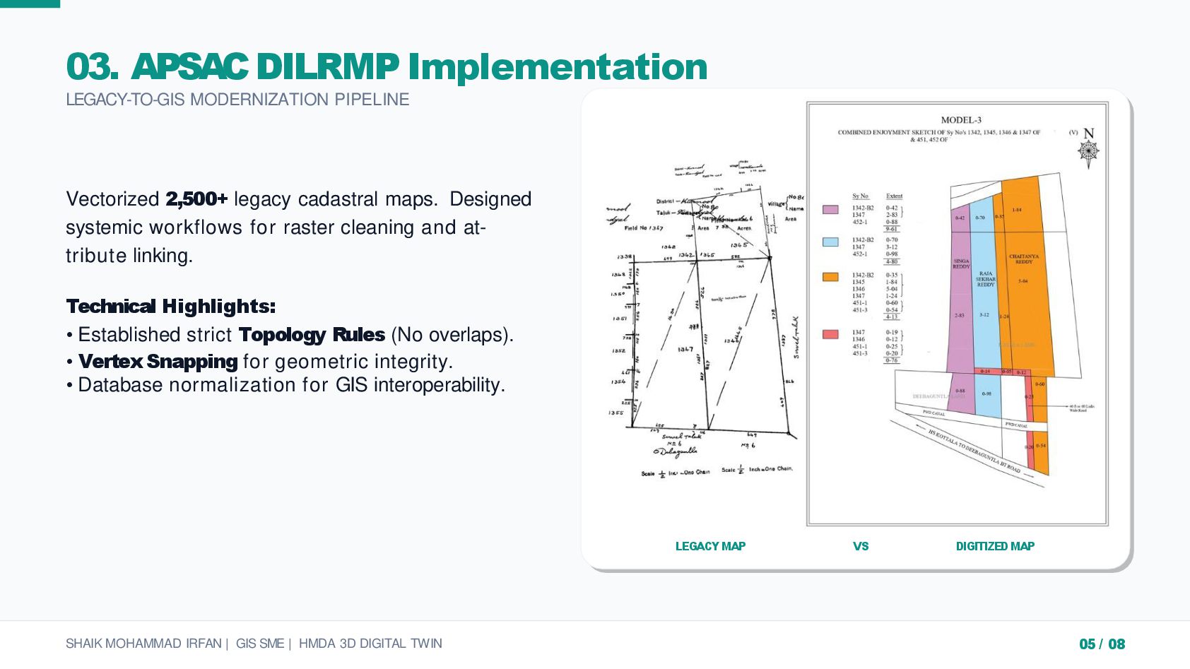
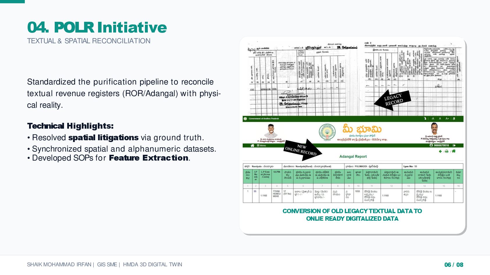
A comprehensive showcase of large-scale Geospatial and Civil Engineering projects. This portfolio highlights my expertise in maintaining 99.89% data accuracy across massive datasets, including the management of 200,000+ land parcels for the AP Resurvey project.
Key Technical Competencies:
GIS/CAD: ArcGIS Pro, QGIS, AutoCAD, Civil 3D.
Engineering: M.Tech in Structural Engineering with a focus on infrastructure assets.
Operations: End-to-end project management, from drone data processing to final database delivery.
Bridging the gap between high-precision mapping and structural integrity.


 alleys
 tinniebeanie
 tomokusaba
 cadenzips
 periscature
 jmscrvnts
 oceanjar
 inkkkkkkk
 pixelduust
 ahmadhunter
 montyli
 techseoconnect
 hatefulcrawdad
 soysaucechin
 akihiro_kokubo
 bluesmoon
 aleyda
 akademiya2063
 sabderemane
 inesmontani
 sachag
 greggifford