Upgrade to Pro — share decks privately, control downloads, hide ads and more …

第7回地理文化講演会 / 7th Geography-Culture Lecture Meeting

Sponsored · SiteGround - Reliable hosting with speed, security, and support you can count on. →

第7回地理文化講演会 / 7th Geography-Culture Lecture Meeting

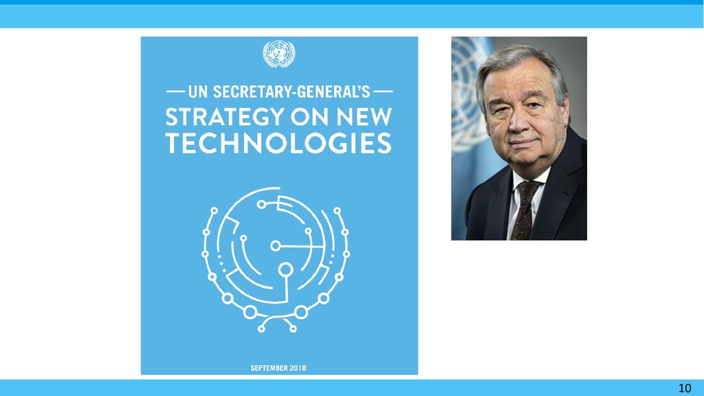
国連にとっての地図とウェブ ~グテーレス事務総長の新技術戦略に則って~
講師:藤村英範氏(国連地理空間情報課 上級専門家)

Other Decks in Technology

Transcript

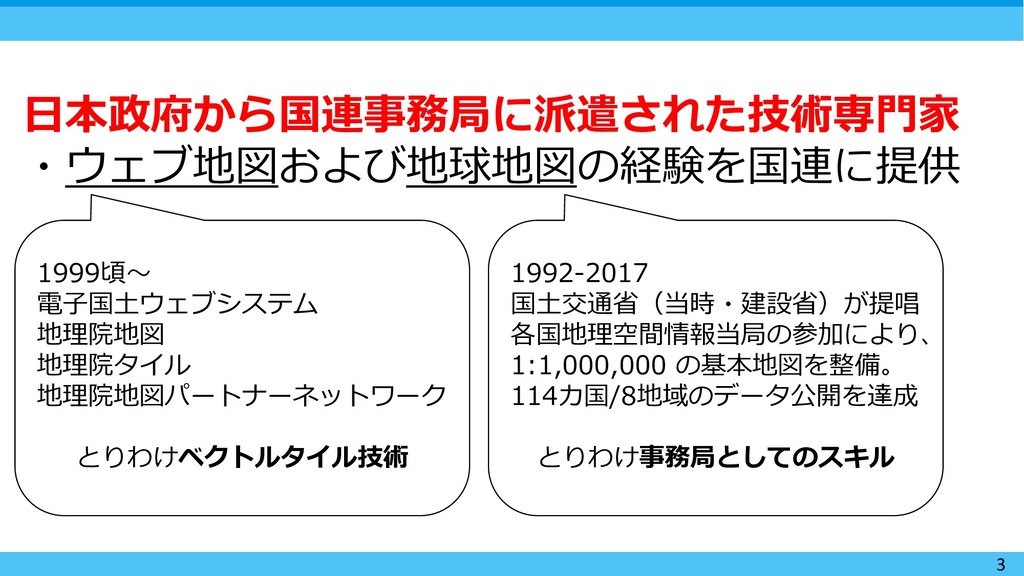
  1. 3 日本政府から国連事務局に派遣された技術専門家 ・ウェブ地図および地球地図の経験を国連に提供 1999頃〜 電子国土ウェブシステム 地理院地図 地理院タイル 地理院地図パートナーネットワーク とりわけベクトルタイル技術 1992-2017

    国土交通省(当時・建設省)が提唱 各国地理空間情報当局の参加により、 1:1,000,000 の基本地図を整備。 114カ国/8地域のデータ公開を達成 とりわけ事務局としてのスキル
  2. 10

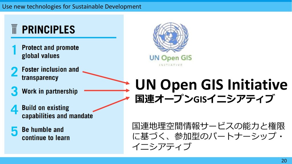
  3. Use new technologies for Sustainable Development 20 UN Open GIS

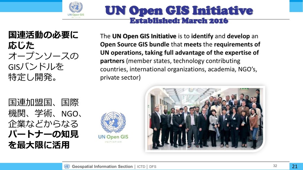
    Initiative 国連オープンGISイニシアティブ 国連地理空間情報サービスの能力と権限 に基づく、参加型のパートナーシップ・ イニシアティブ
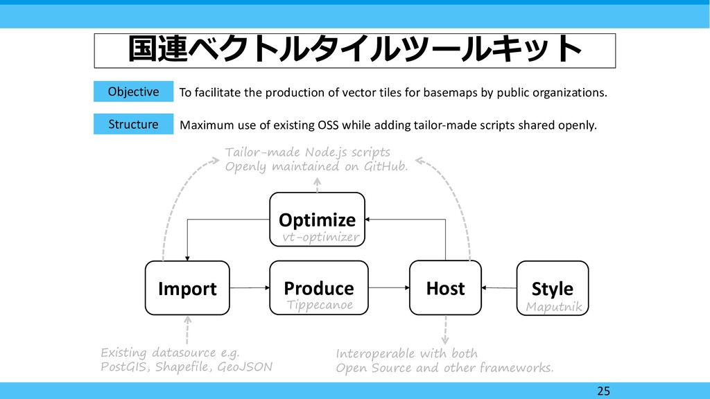
  4. 国連ベクトルタイルツールキット Objective To facilitate the production of vector tiles for

    basemaps by public organizations. Structure Import Produce Host Style Optimize Existing datasource e.g. PostGIS, Shapefile, GeoJSON Tippecanoe Maputnik Interoperable with both Open Source and other frameworks. Tailor-made Node.js scripts Openly maintained on GitHub. Maximum use of existing OSS while adding tailor-made scripts shared openly. vt-optimizer 25
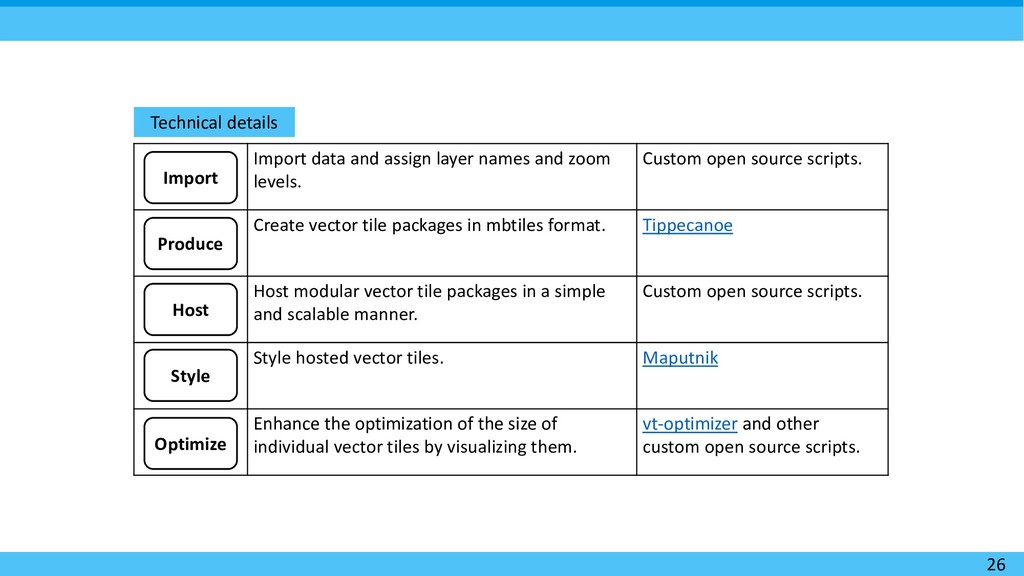
  5. 26 Technical details Import data and assign layer names and

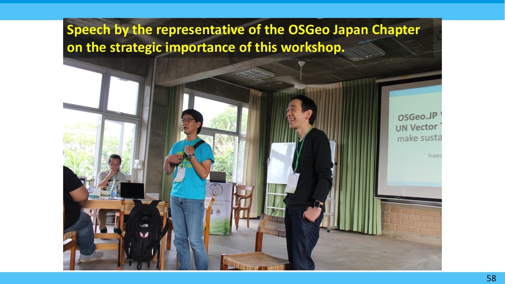
    zoom levels. Custom open source scripts. Create vector tile packages in mbtiles format. Tippecanoe Host modular vector tile packages in a simple and scalable manner. Custom open source scripts. Style hosted vector tiles. Maputnik Enhance the optimization of the size of individual vector tiles by visualizing them. vt-optimizer and other custom open source scripts. Import Produce Host Style Optimize
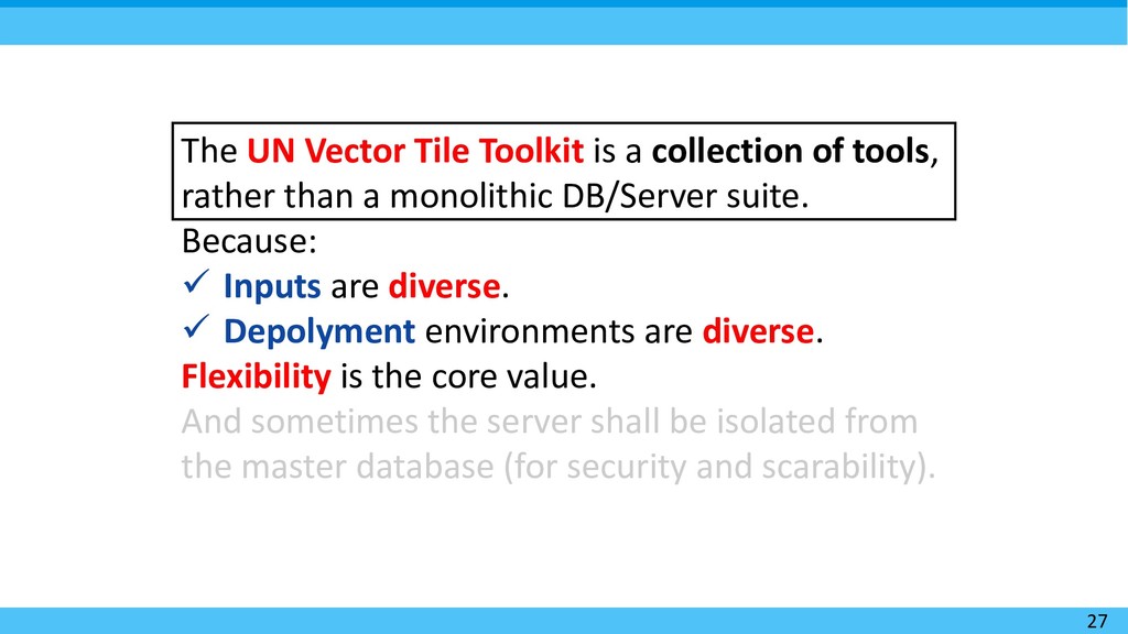
  6. 27 The UN Vector Tile Toolkit is a collection of

    tools, rather than a monolithic DB/Server suite. Because:  Inputs are diverse.  Depolyment environments are diverse. Flexibility is the core value. And sometimes the server shall be isolated from the master database (for security and scarability).
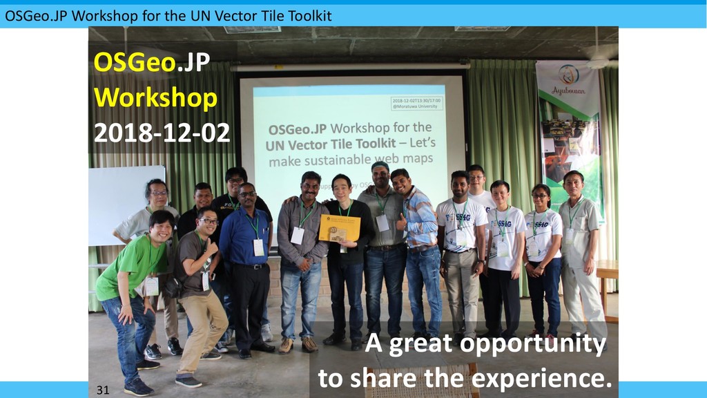
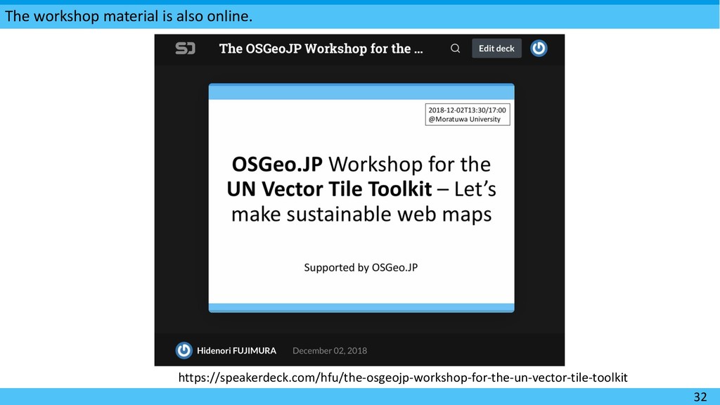
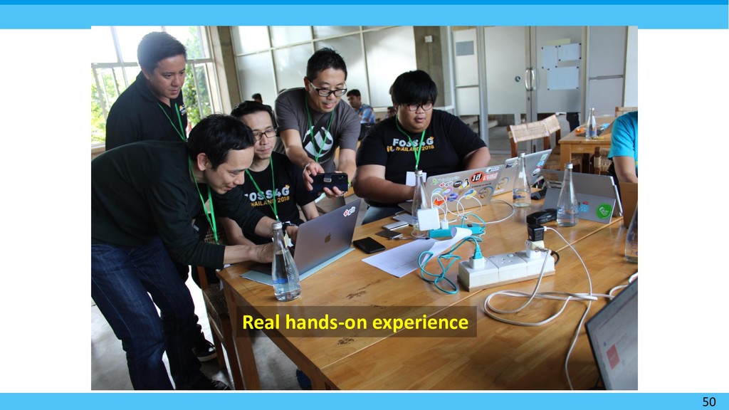
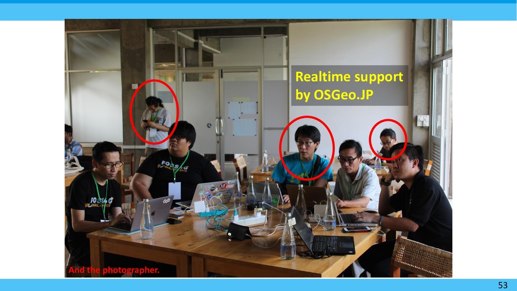
  7. OSGeo.JP Workshop for the UN Vector Tile Toolkit 31 A

    great opportunity to share the experience. OSGeo.JP Workshop 2018-12-02
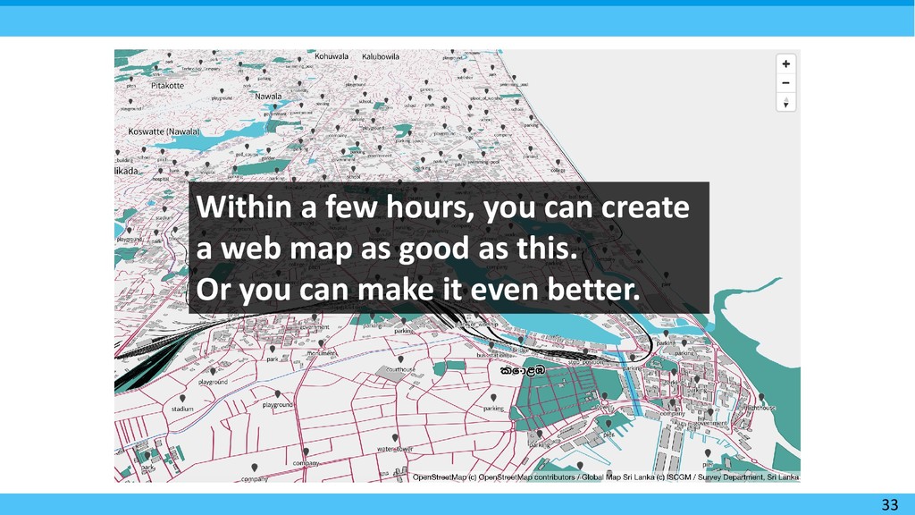
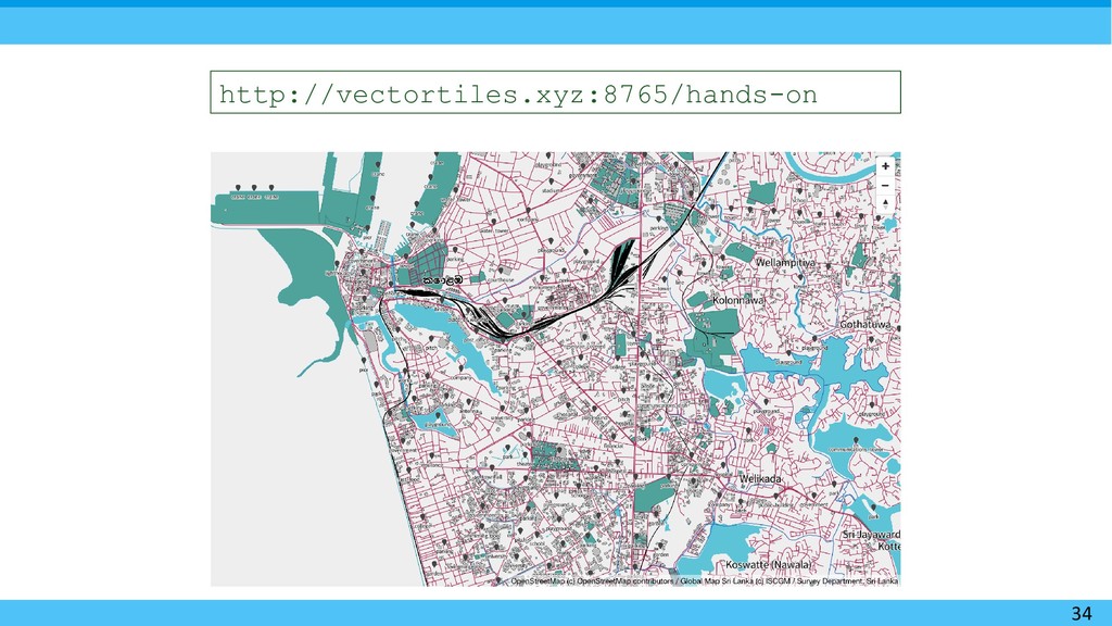
  8. 33 Within a few hours, you can create a web

    map as good as this. Or you can make it even better.
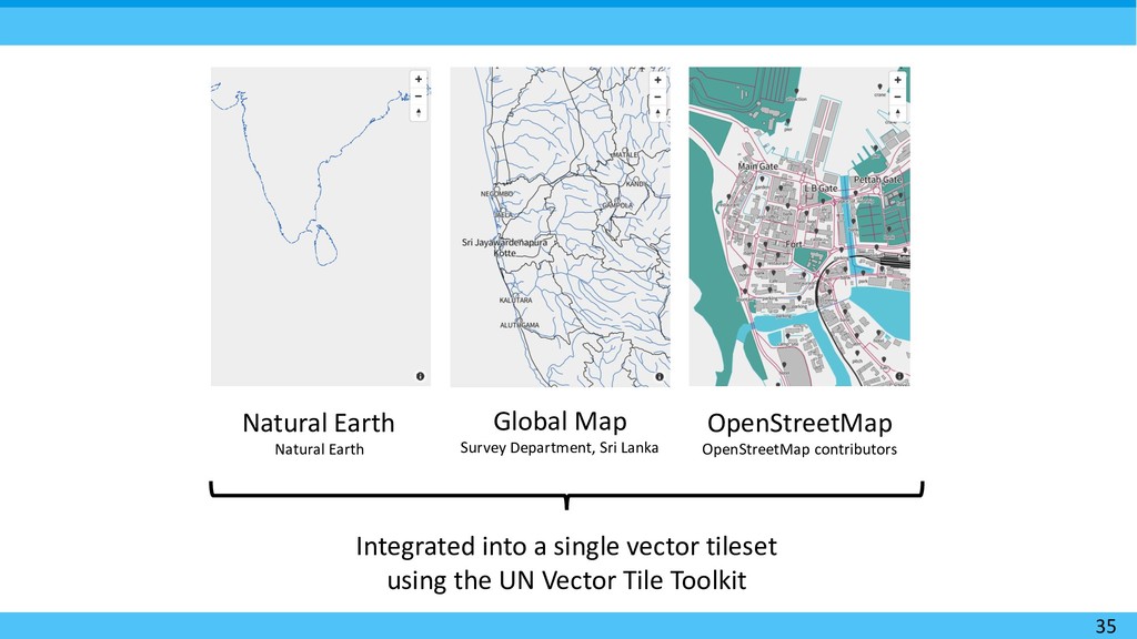
  9. 35 Natural Earth Natural Earth Global Map Survey Department, Sri

    Lanka OpenStreetMap OpenStreetMap contributors Integrated into a single vector tileset using the UN Vector Tile Toolkit
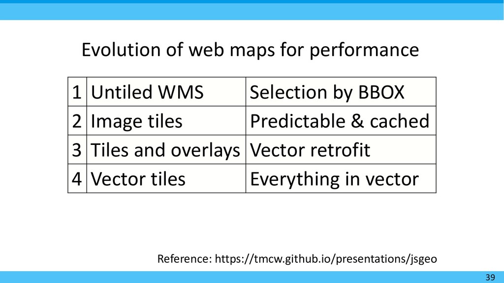
  10. 39 Reference: https://tmcw.github.io/presentations/jsgeo 1 Untiled WMS Selection by BBOX 2

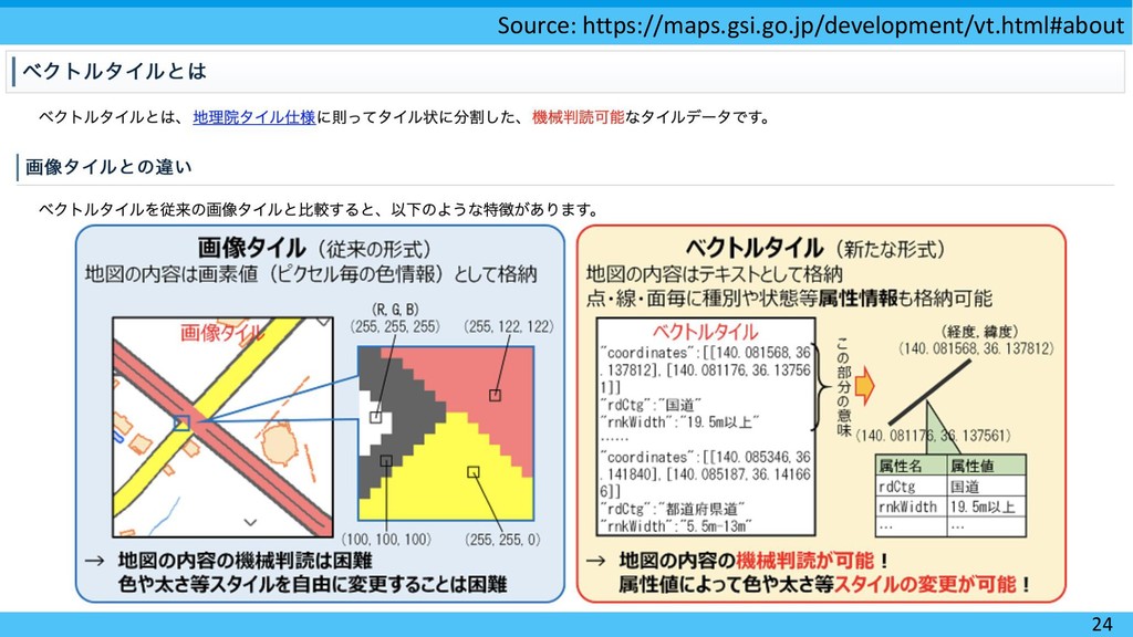
    Image tiles Predictable & cached 3 Tiles and overlays Vector retrofit 4 Vector tiles Everything in vector Evolution of web maps for performance
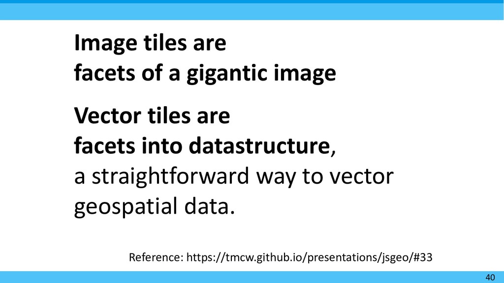
  11. 40 Reference: https://tmcw.github.io/presentations/jsgeo/#33 Image tiles are facets of a gigantic

    image Vector tiles are facets into datastructure, a straightforward way to vector geospatial data.
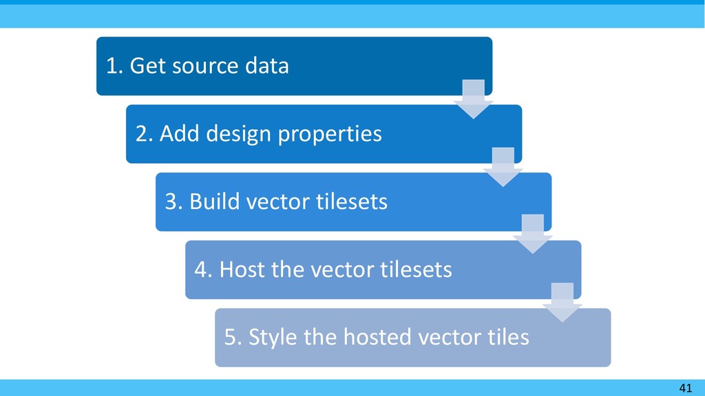
  12. 41 1. Get source data 2. Add design properties 3.

    Build vector tilesets 4. Host the vector tilesets 5. Style the hosted vector tiles
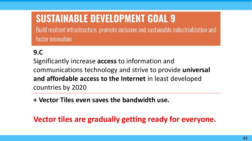
  13. 43 9.C Significantly increase access to information and communications technology

    and strive to provide universal and affordable access to the Internet in least developed countries by 2020 + Vector Tiles even saves the bandwidth use. Vector tiles are gradually getting ready for everyone.
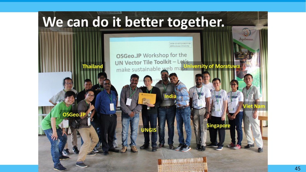
  14. 45 We can do it better together. OSGeo.JP Singapore University

    of Moratuwa Viet Nam Thailand UNGIS India
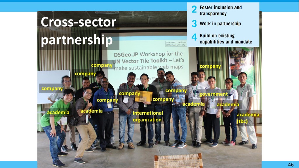
  15. 46 Cross-sector partnership academia company company company company company academia

    company international organization company academia government company academia academia (tbc)
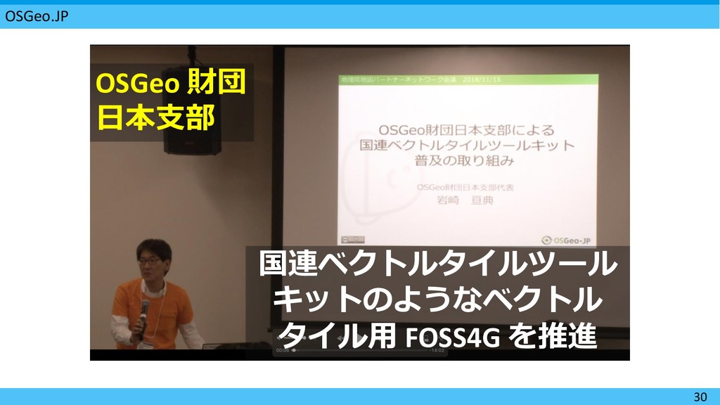
  16. 58 Speech by the representative of the OSGeo Japan Chapter

    on the strategic importance of this workshop.
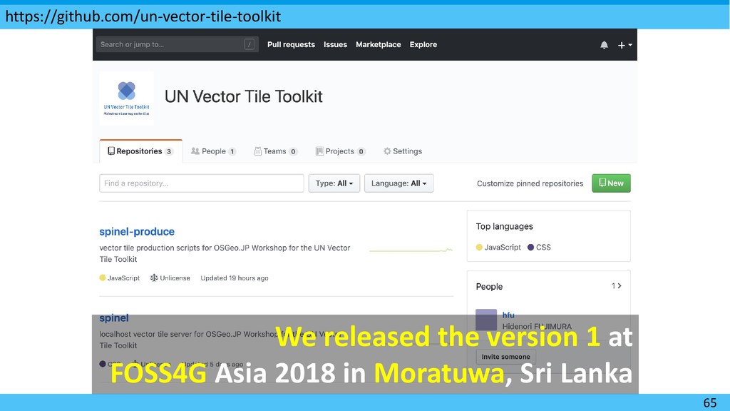
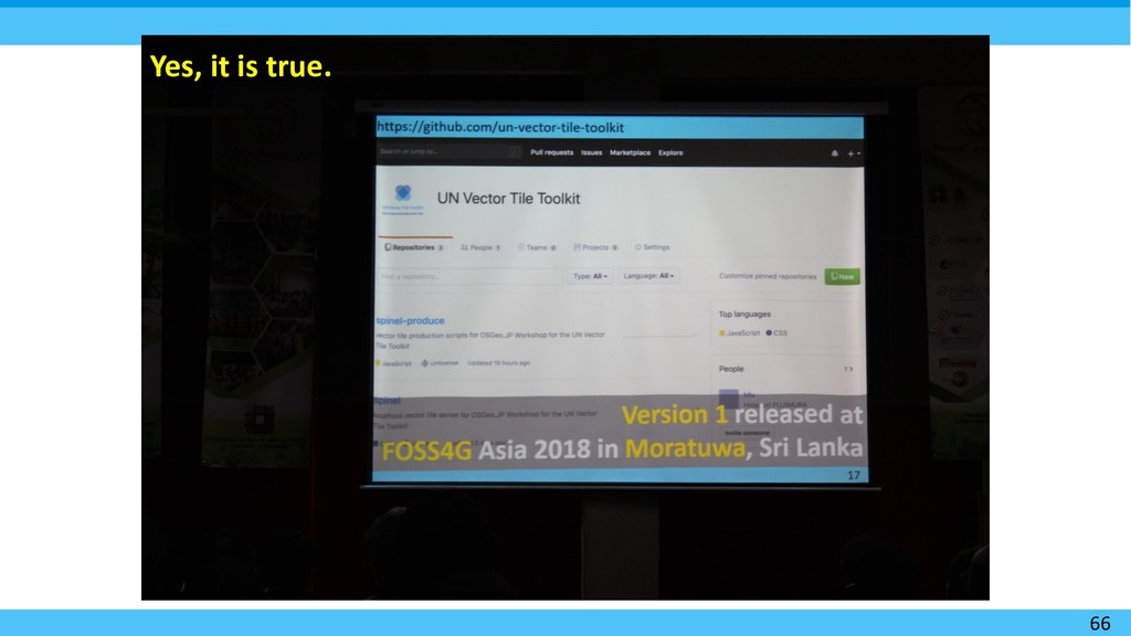
  17. We released the version 1 at FOSS4G Asia 2018 in

    Moratuwa, Sri Lanka https://github.com/un-vector-tile-toolkit 65
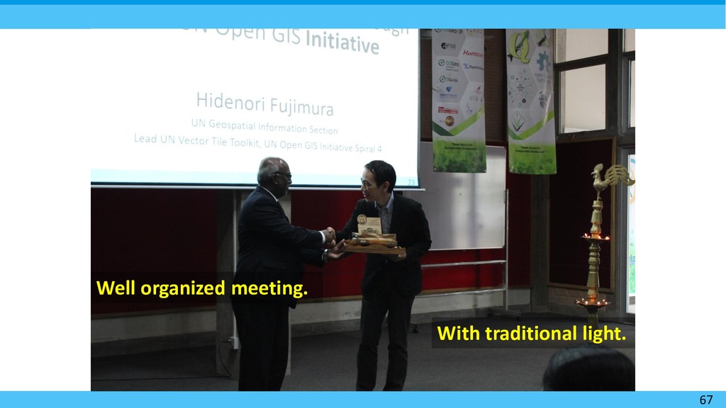
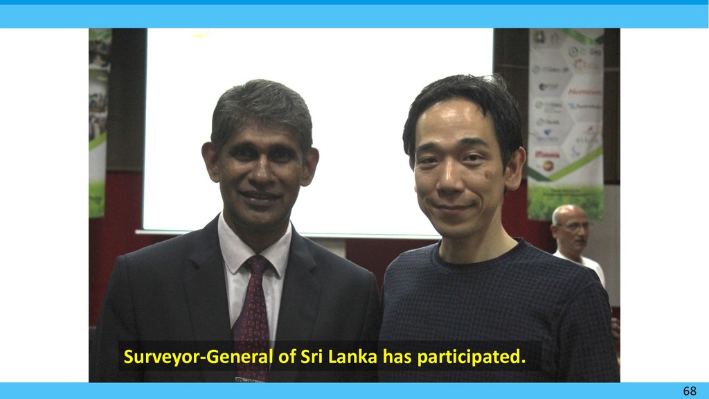
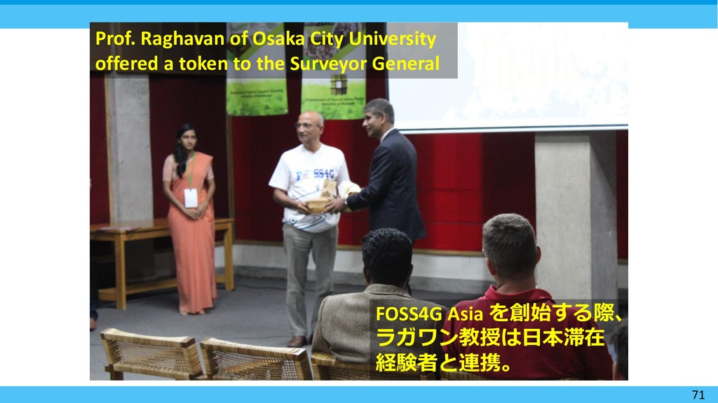
  18. 71 Prof. Raghavan of Osaka City University offered a token

    to the Surveyor General FOSS4G Asia を創始する際、 ラガワン教授は日本滞在 経験者と連携。
  19. 72 UN Vector Tile Toolkit: Next time with your data.

    Because everyone wants (authoritative) basemaps which are optimized and interoperable.
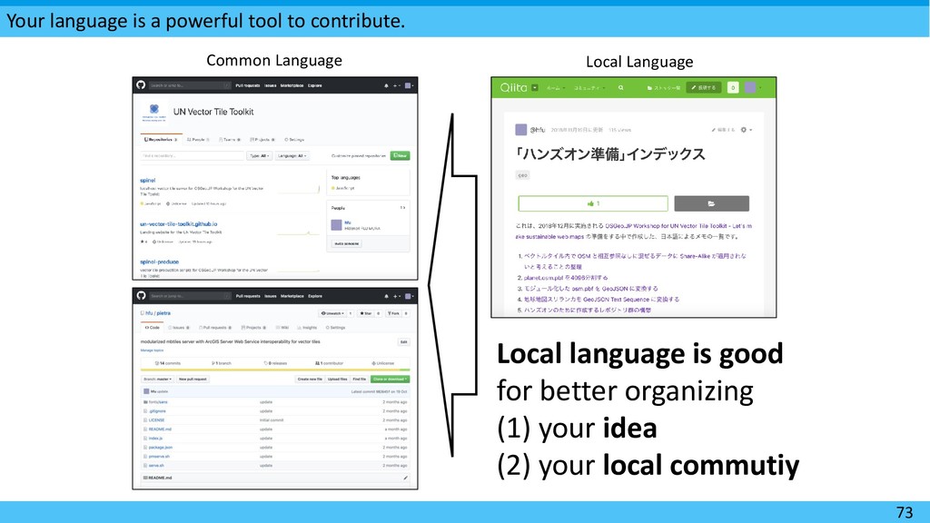
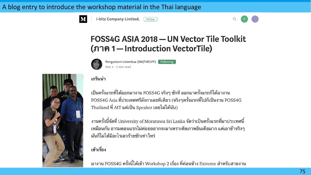
  20. Your language is a powerful tool to contribute. 73 Common

    Language Local Language Local language is good for better organizing (1) your idea (2) your local commutiy
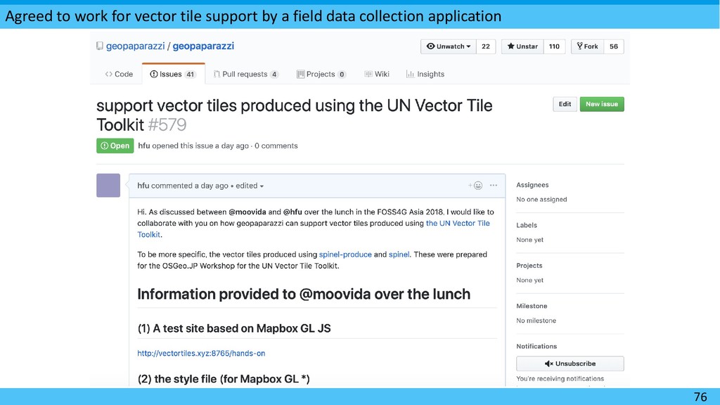
  21. Agreed to work for vector tile support by a field

    data collection application 76
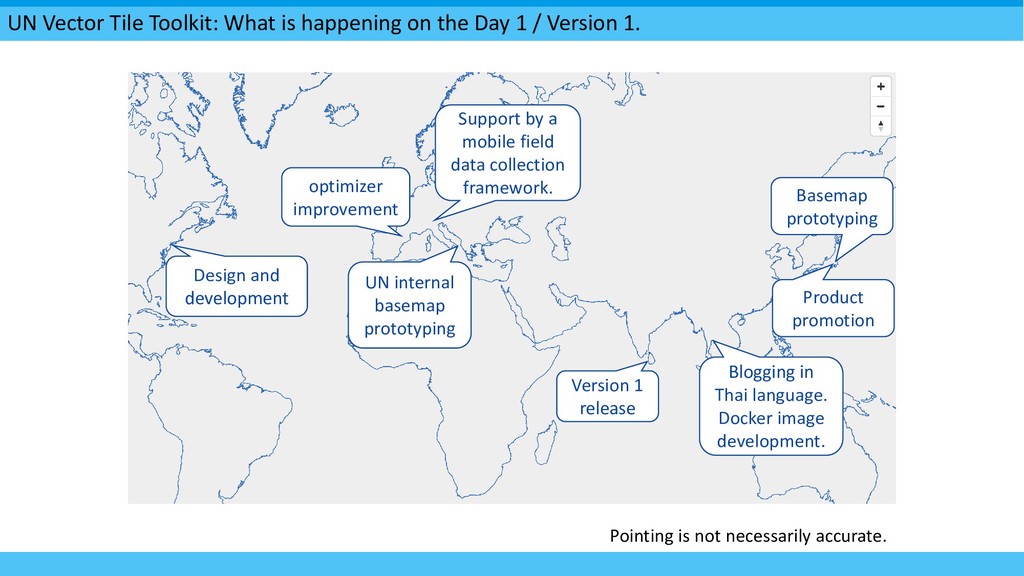
  22. UN Vector Tile Toolkit: What is happening on the Day

    1 / Version 1. Design and development Pointing is not necessarily accurate. Support by a mobile field data collection framework. UN internal basemap prototyping Version 1 release Blogging in Thai language. Docker image development. optimizer improvement Basemap prototyping Product promotion
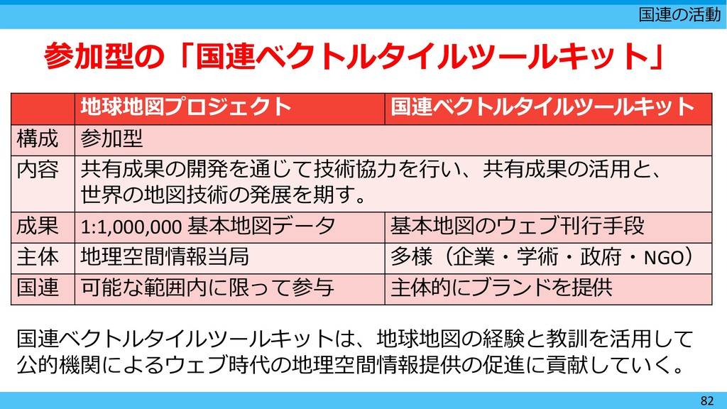
  23. 国連の活動 82 参加型の「国連ベクトルタイルツールキット」 地球地図プロジェクト 国連ベクトルタイルツールキット 構成 参加型 内容 共有成果の開発を通じて技術協力を行い、共有成果の活用と、 世界の地図技術の発展を期す。

    成果 1:1,000,000 基本地図データ 基本地図のウェブ刊行手段 主体 地理空間情報当局 多様(企業・学術・政府・NGO) 国連 可能な範囲内に限って参与 主体的にブランドを提供 国連ベクトルタイルツールキットは、地球地図の経験と教訓を活用して 公的機関によるウェブ時代の地理空間情報提供の促進に貢献していく。
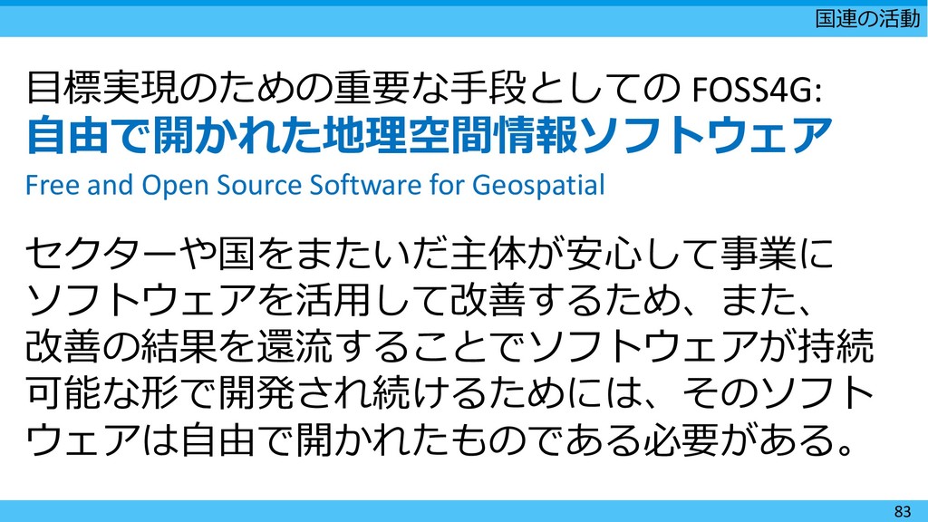
  24. 国連の活動 83 目標実現のための重要な手段としての FOSS4G: 自由で開かれた地理空間情報ソフトウェア Free and Open Source Software

    for Geospatial セクターや国をまたいだ主体が安心して事業に ソフトウェアを活用して改善するため、また、 改善の結果を還流することでソフトウェアが持続 可能な形で開発され続けるためには、そのソフト ウェアは自由で開かれたものである必要がある。
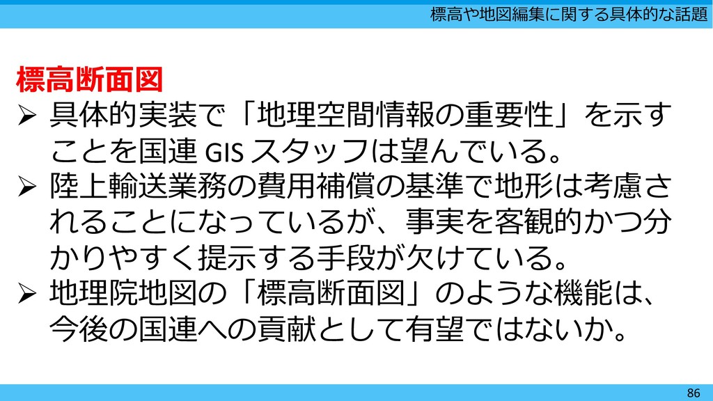
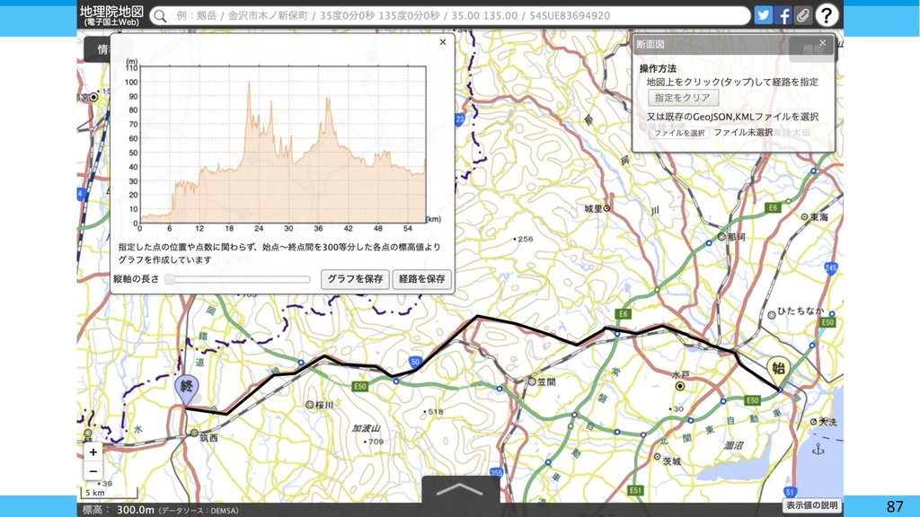
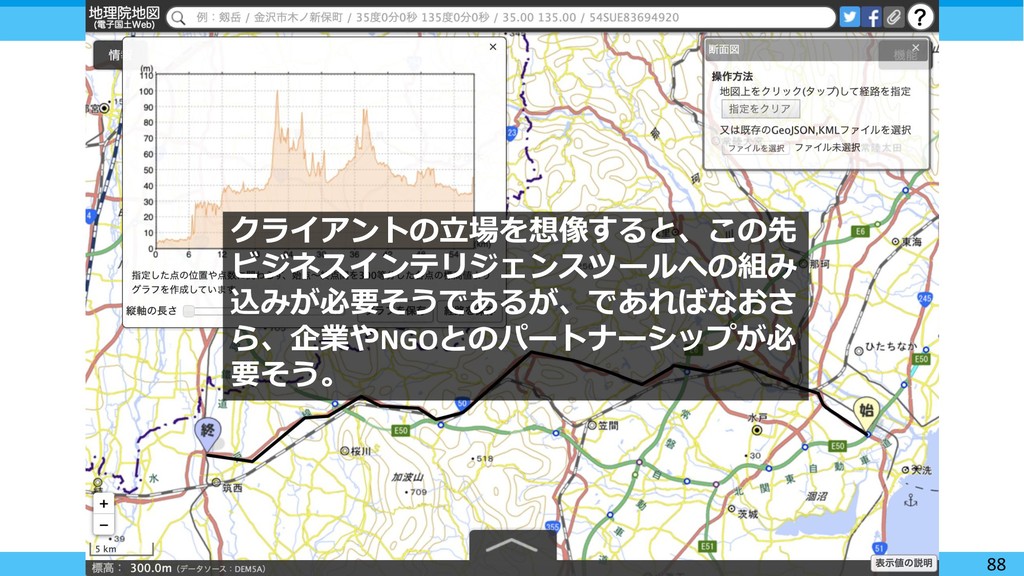
  25. 標高や地図編集に関する具体的な話題 86 標高断面図  具体的実装で「地理空間情報の重要性」を示す ことを国連 GIS スタッフは望んでいる。  陸上輸送業務の費用補償の基準で地形は考慮さ

    れることになっているが、事実を客観的かつ分 かりやすく提示する手段が欠けている。  地理院地図の「標高断面図」のような機能は、 今後の国連への貢献として有望ではないか。
  26. 87

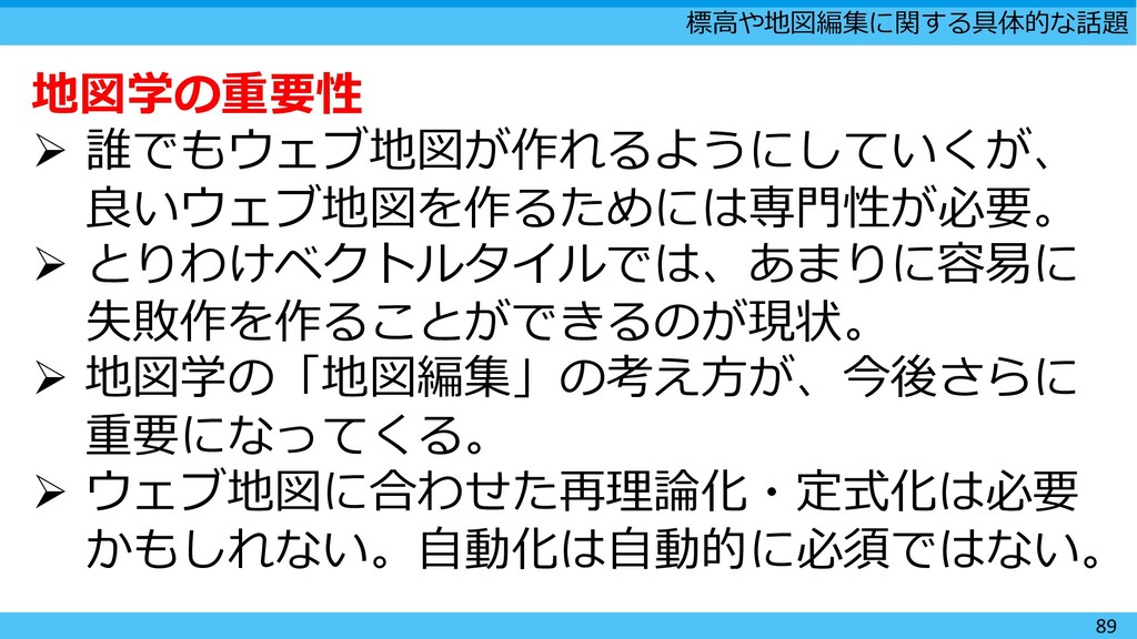
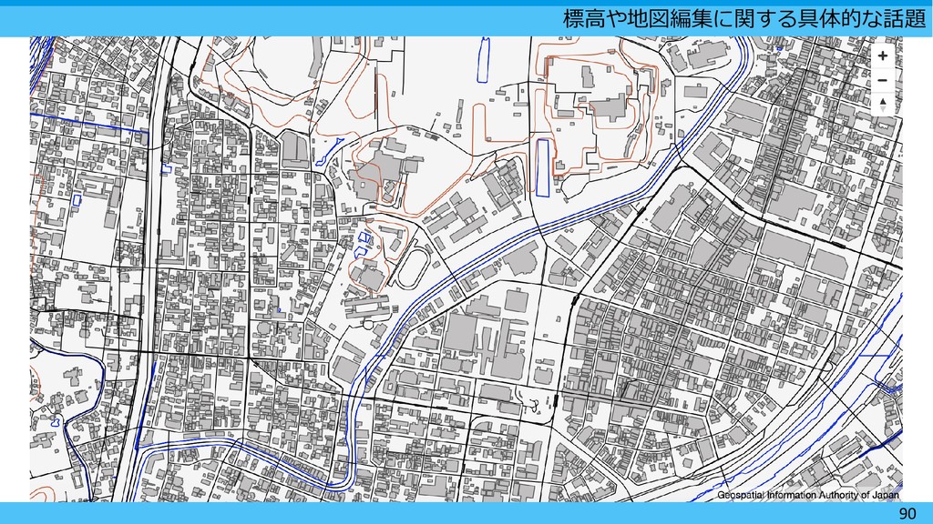
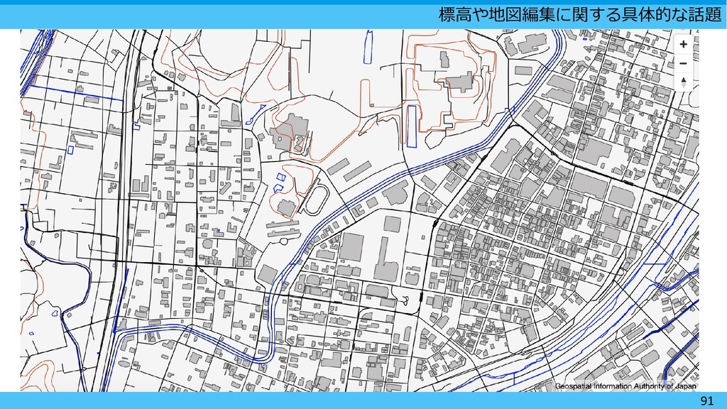
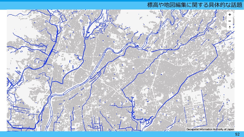
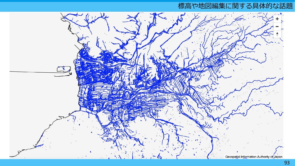
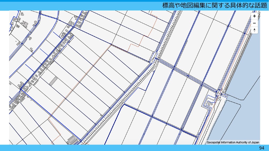
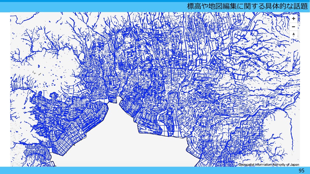
  27. 標高や地図編集に関する具体的な話題 89 地図学の重要性  誰でもウェブ地図が作れるようにしていくが、 良いウェブ地図を作るためには専門性が必要。  とりわけベクトルタイルでは、あまりに容易に 失敗作を作ることができるのが現状。 

    地図学の「地図編集」の考え方が、今後さらに 重要になってくる。  ウェブ地図に合わせた再理論化・定式化は必要 かもしれない。自動化は自動的に必須ではない。
  28. 96