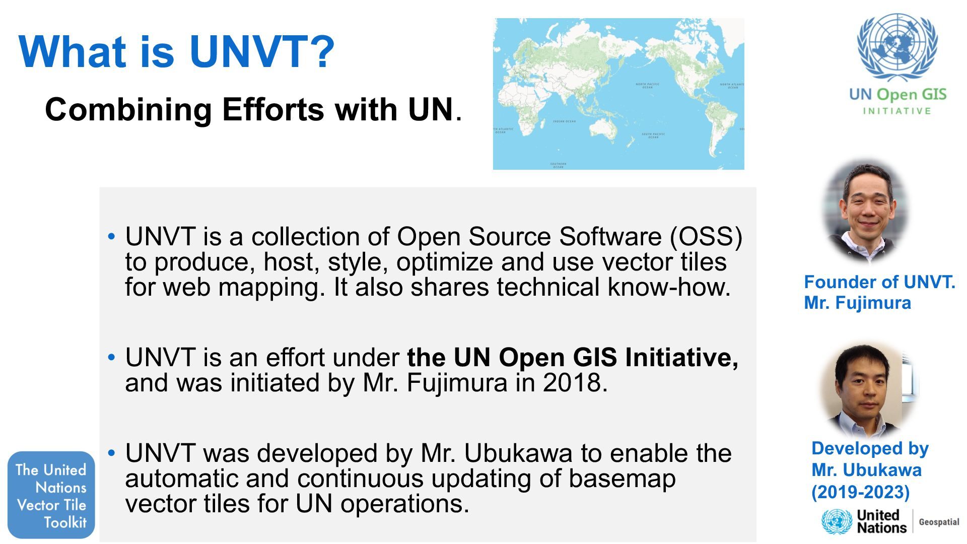
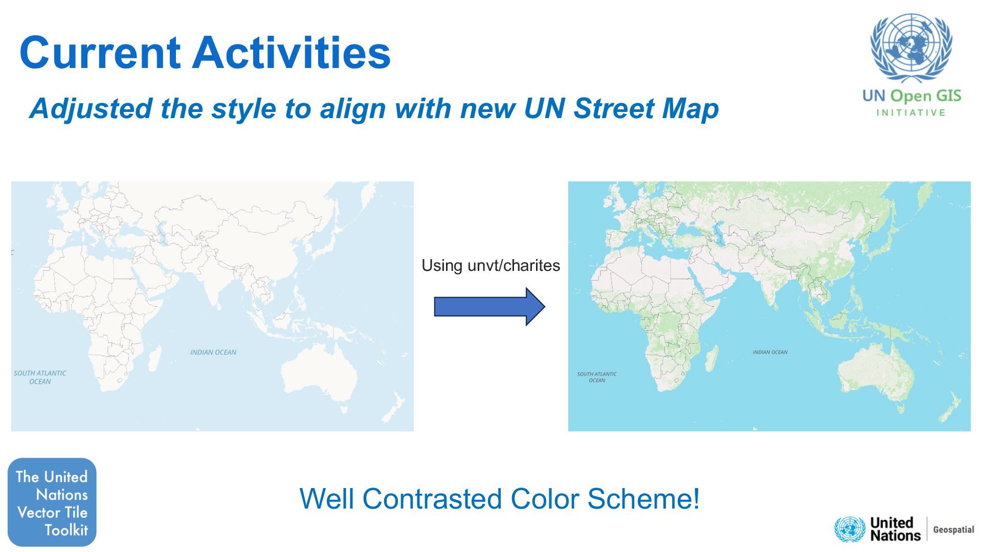
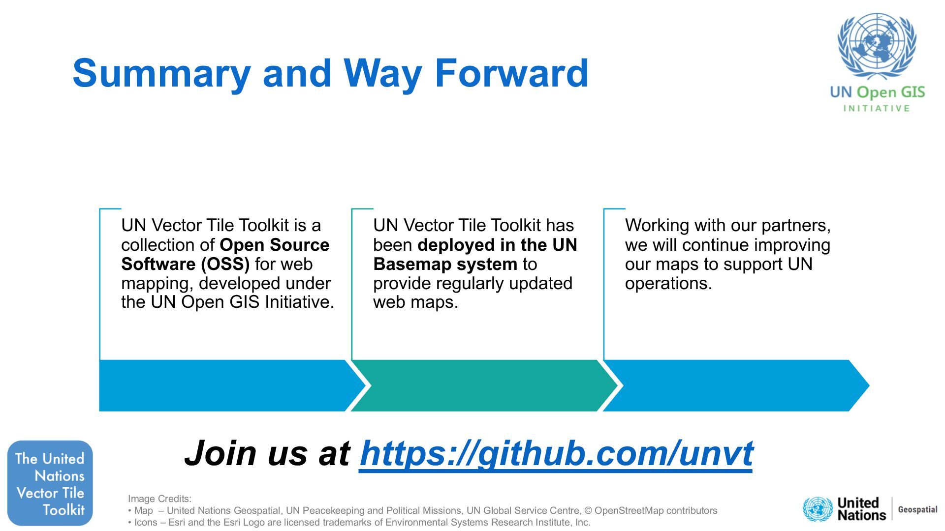
Source Software (OSS) to produce, host, style, optimize and use vector tiles for web mapping. It also shares technical know-how. • UNVT is an effort under the UN Open GIS Initiative, and was initiated by Mr. Fujimura in 2018. • UNVT was developed by Mr. Ubukawa to enable the automatic and continuous updating of basemap vector tiles for UN operations. Combining Efforts with UN. Founder of UNVT. Mr. Fujimura Developed by Mr. Ubukawa (2019-2023)
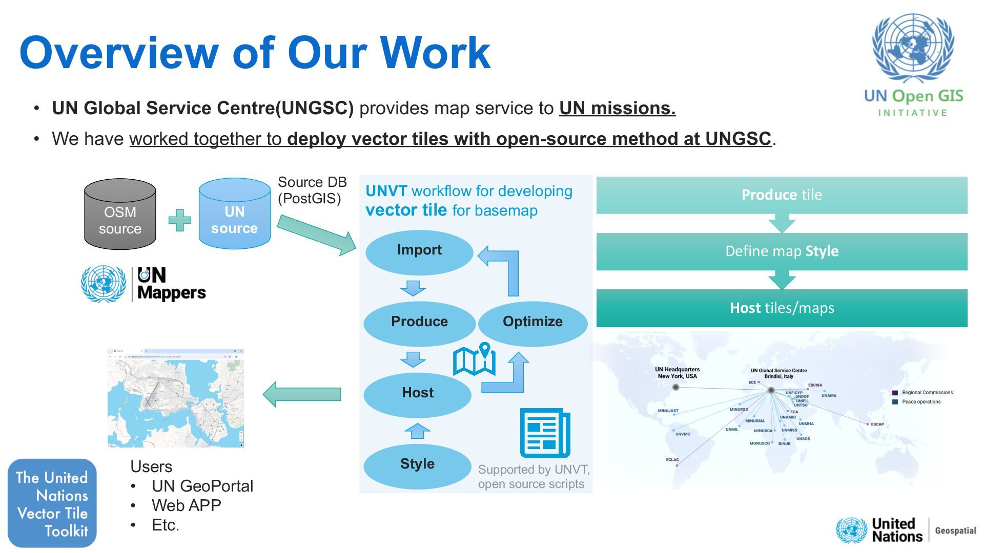
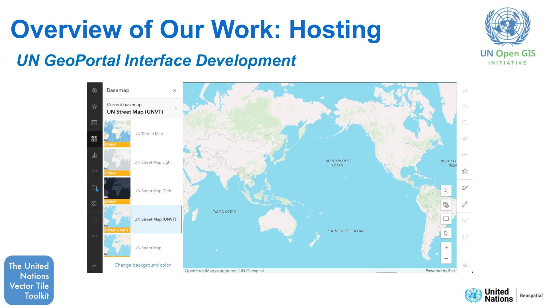
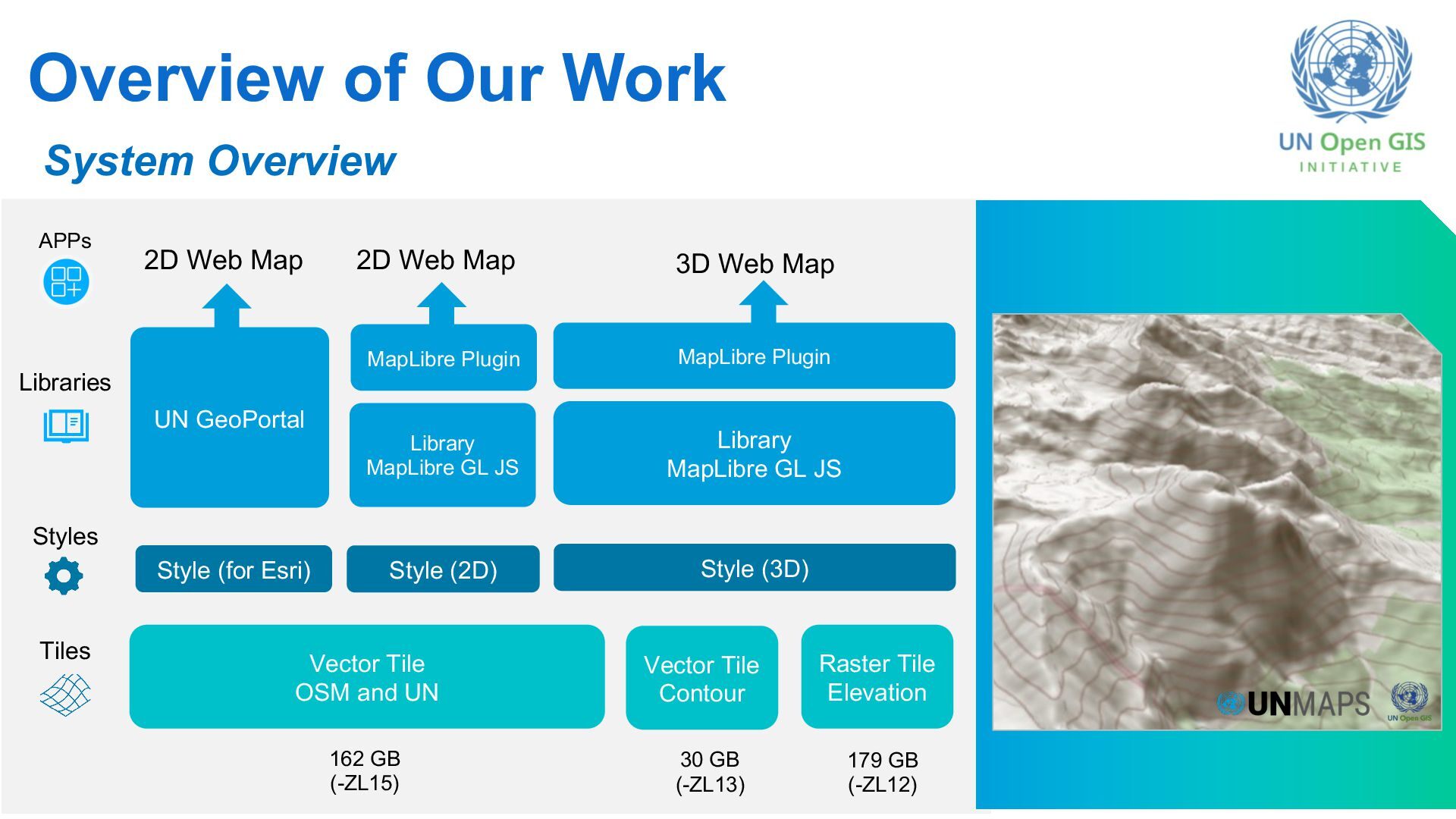
map service to UN missions. • We have worked together to deploy vector tiles with open-source method at UNGSC. OSM source UN source Supported by UNVT, open source scripts Produce Host Style Optimize Import UNVT workflow for developing vector tile for basemap Source DB (PostGIS) Users • UN GeoPortal • Web APP • Etc. Host tiles/maps Define map Style Produce tile
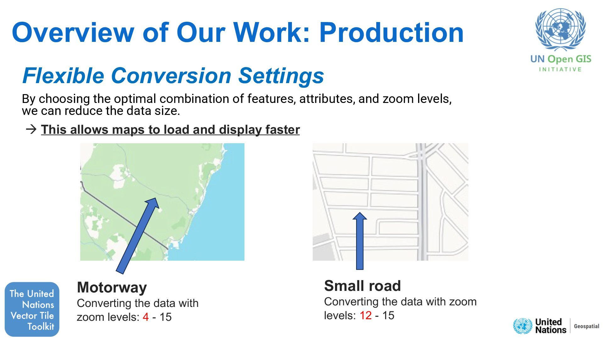
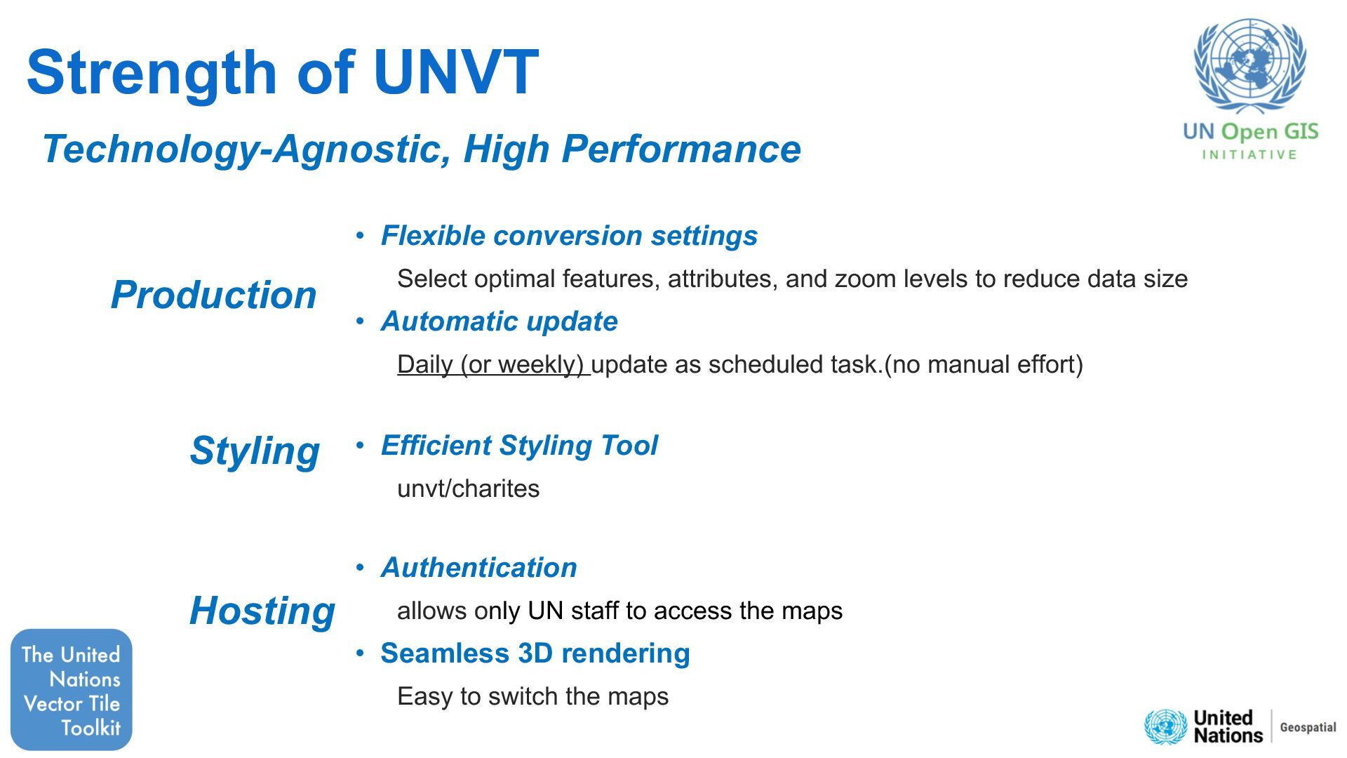
the optimal combination of features, attributes, and zoom levels, we can reduce the data size. à This allows maps to load and display faster Motorway Converting the data with zoom levels: 4 - 15 Small road Converting the data with zoom levels: 12 - 15
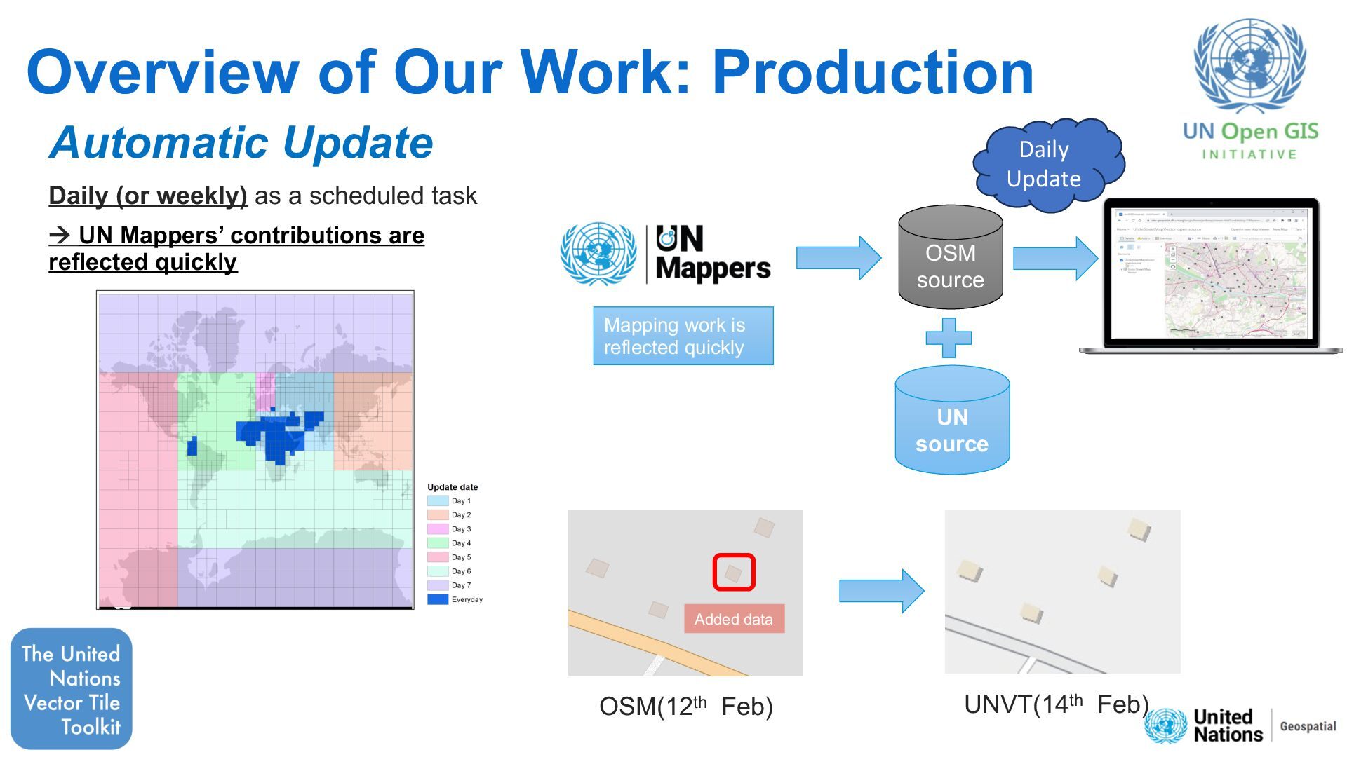
as a scheduled task à UN Mappers’ contributions are reflected quickly OSM(12th Feb) UNVT(14th Feb) Added data OSM source UN source Mapping work is reflected quickly Daily Update
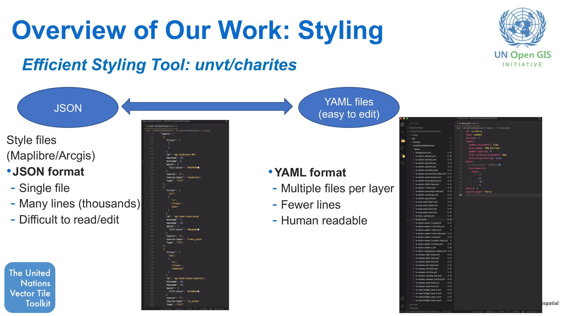
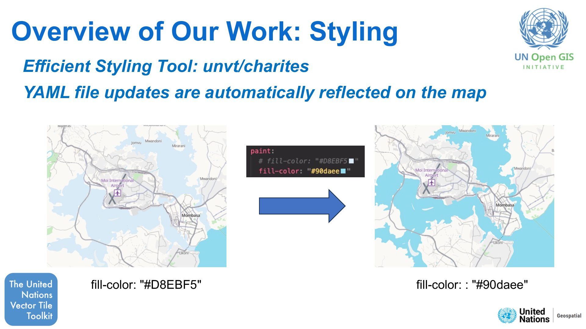
files (easy to edit) Style files (Maplibre/Arcgis) •JSON format - Single file - Many lines (thousands) - Difficult to read/edit •YAML format - Multiple files per layer - Fewer lines - Human readable JSON
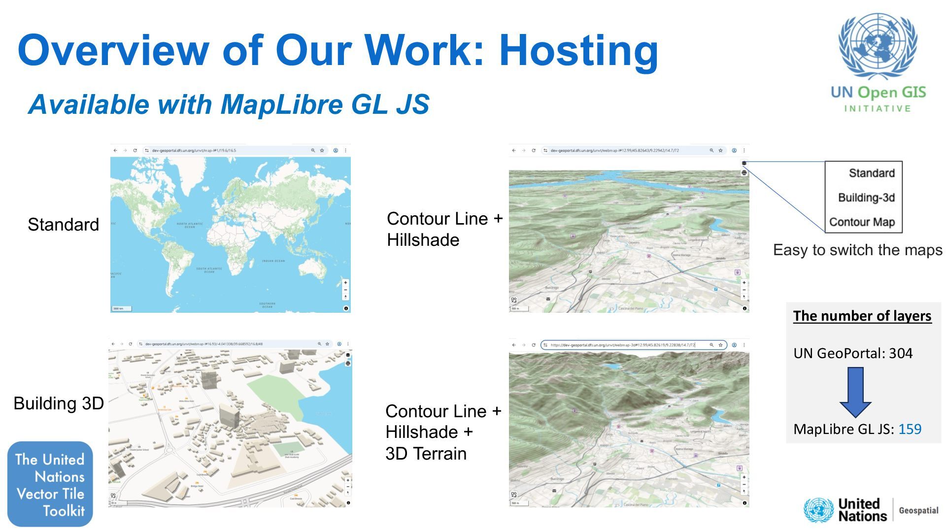
3D Standard Contour Line + Hillshade + 3D Terrain Available with MapLibre GL JS The number of layers UN GeoPortal: 304 MapLibre GL JS: 159 Easy to switch the maps
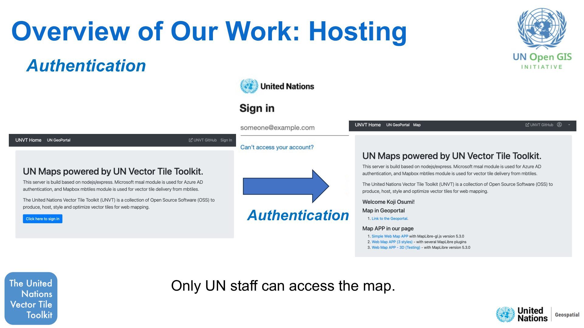
Hosting Technology-Agnostic, High Performance • Flexible conversion settings Select optimal features, attributes, and zoom levels to reduce data size • Automatic update Daily (or weekly) update as scheduled task.(no manual effort) • Authentication allows only UN staff to access the maps • Seamless 3D rendering Easy to switch the maps
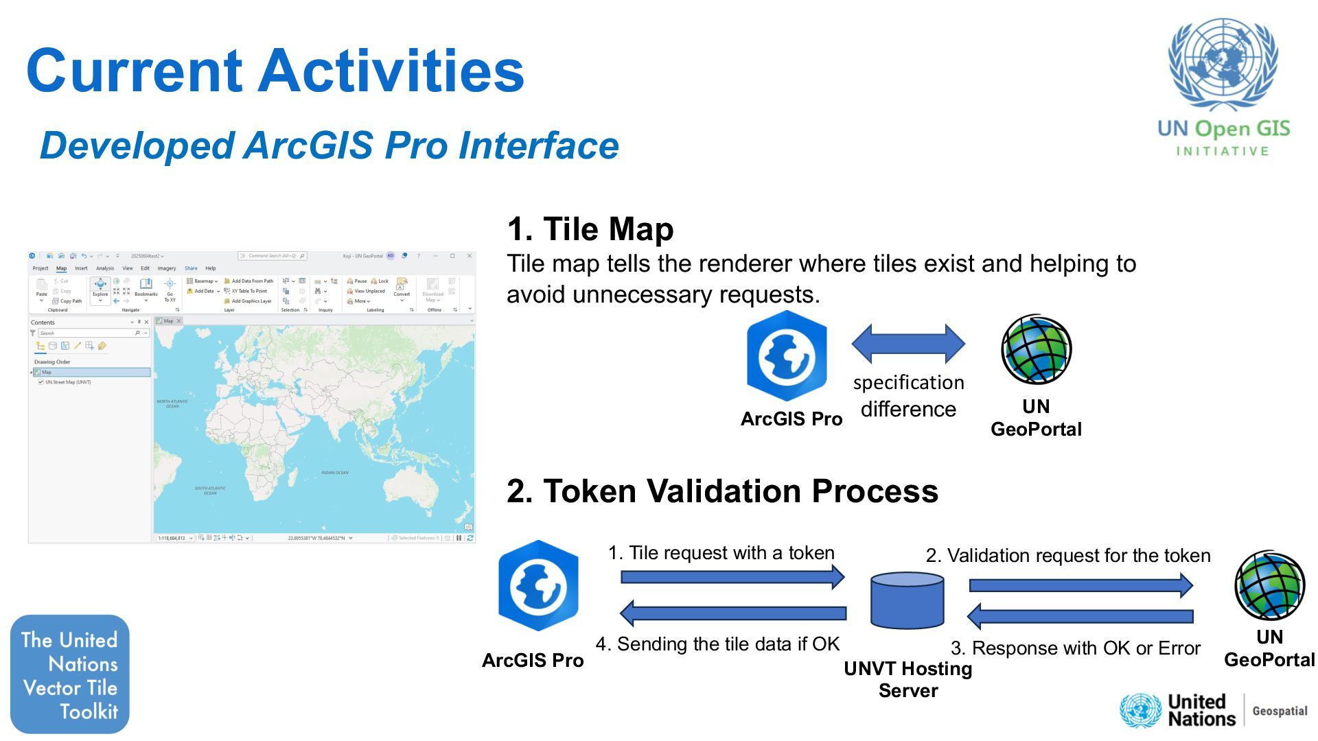
map tells the renderer where tiles exist and helping to avoid unnecessary requests. UNVT Hosting Server 1. Tile request with a token ArcGIS Pro UN GeoPortal 2. Validation request for the token 3. Response with OK or Error 4. Sending the tile data if OK 2. Token Validation Process ArcGIS Pro specification difference UN GeoPortal


 k96mz
k96mz
 tonyrice
 jonyablonski
 mayunak
 thoeni
 destraynor
 cromwellryan
 livdayseo
 dougneiner
 danielanewman
 hannesfritz
 mfonobong
 holman