Upgrade to Pro — share decks privately, control downloads, hide ads and more …

Draft-20251111UNVT-foss4g2025

Avatar for Koji Osumi Koji Osumi
November 10, 2025

 Draft-20251111UNVT-foss4g2025

Avatar for Koji Osumi

Koji Osumi

November 10, 2025
Tweet

More Decks by Koji Osumi

Other Decks in Technology

Transcript

  1. Vector Tile Deployment with the United Nations Vector Tile Toolkit

    (UNVT) Koji OSUMI FOSS4G 2025 Thursday, 20 November 2025, 11:30–12:00 Auckland University of Technology’s School of Future Environments WG126
  2. Who I Am Koji OSUMI (Mr.) Senior Geospatial Expert Geospatial

    Information Section, United Nations Secretariat I have been leading UNVT deployment within the UN since 2024. The UN Open GIS Initiative aims to identify and develop an Open Source GIS bundle that meets the requirements of UN operations for both peace-building and peace-keeping. Geospatial Strategy for the United Nations The effective, efficient and universal use of geospatial information in support of all mandates and operations of the United Nations for a better world Our strategy and Initiative
  3. Agenda • What is UNVT? • Overview of Our Work

    (Production, Styling, Hosting) • Strength of UNVT • Current Activities • Summary
  4. What is UNVT? • UNVT is a collection of Open

    Source Software (OSS) to produce, host, style, optimize and use vector tiles for web mapping. It also shares technical know-how. • UNVT is an effort under the UN Open GIS Initiative, and was initiated by Mr. Fujimura in 2018 • UNVT was developed by Mr. Ubukawa to enable the automatic and continuous updating of basemap vector tiles for UN operations. Combining Efforts with UN. Founder of UNVT. Mr. Fujimura Developed by Mr. Ubukawa (2019-2023)
  5. Overview of Our Work • UN Global Service Centre provides

    map service to UN missions. • We have worked together to deploy vector tiles with open-source method at UNGSC. OSM source UN source Supported by UNVT, open source scripts Produce Host Style Optimize Import UNVT workflow for developing vector tile for basemap Source DB (PostGIS) Users • ArcGIS Online • Web APP • Etc. Host tiles/maps Define map Style Produce tile
  6. Overview of Our Work: Production Flexible Conversion Settings By choosing

    the optimal combination of features, attributes, and zoom levels, we can reduce the data size. à This allows maps to load and display faster Motorway Converting the tiles with zoom levels: 4 - 15 Small road Converting the tiles with zoom levels: 12 - 15
  7. Overview of Our Work: Production Automatic Update Daily (or weekly)

    as a scheduled task à UN Mappers’ contributions are reflected quickly OSM(4th Nov) UNVT(7th Nov) Added data OSM source UN source Mapping work is reflected quickly Daily Update
  8. Overview of Our Work: Styling Efficient Styling Tool: unvt/charites JSON

    YAML files (easy to edit) Style files (Maplibre/Arcgis) •JSON format - Single file - Many lines (thousands) - Difficult to read/edit •YAML format - Multiple files per layer - Fewer lines - Human readable
  9. Overview of Our Work: Styling Efficient Styling Tool: unvt/charites Update

    of YAML files is automatically reflected fill-color: "#D8EBF5" fill-color: : "#90daee"
  10. Overview of Our Work: Hosting Authentication Only UN staff can

    access the map. This feature can be useful for other organizations as well. Authentication
  11. Overview of Our Work: Hosting Contour Line + Hillshade Building

    3D Standard Contour Line + Hillshade + 3D Terrain Available with MapLibre GL JS The number of layers ArcGIS Online: 304 MapLibre GL JS: 159 Easy to switch the maps
  12. Overview of Our Work 3D Web Map 2D Web Map

    2D Base Map Tiles Styles Libraries APPs Style (2D) Library MapLibre GL JS Vector Tile OSM and UN Vector Tile Contour Raster Tile Elevation MapLibre Plugin ArcGIS Online Library MapLibre GL JS Style (3D) MapLibre Plugin Style (for Esri) 30 GB (-ZL13) 179 GB (-ZL12) 162 GB (-ZL15) System Overview
  13. Strength of UNVT • Efficient Styling Tool unvt/charites Production Styling

    Hosting Technology-Agnostic, High Performance • Flexible conversion settings Select optimal features, attributes, and zoom levels to reduce data size • Automatic update Daily (or weekly) update as scheduled task.(no manual effort) • Authentication feature Can be used in other organizations which needs same feature • Seamless 3D rendering Easy to switch the maps
  14. Current Activities Adjusted the style to align with new UN

    Street Map Using unvt/charites Well Contrasted Color Scheme!
  15. Current Activities Developed ArcGIS Pro Interface 1. Tile Map Tile

    map tells the renderer where tiles exist and helping to avoid unnecessary requests. UNVT Hosting Server 1. Tile request with a token ArcGIS Pro ArcGIS Online 2. Validation request for the token 3. Response with OK or Error 4. Sending the tile data if OK 2. Token Validation Process ArcGIS Pro specification difference ArcGIS Online
  16. Summary and Way Forward Join us at https://github.com/unvt UN Vector

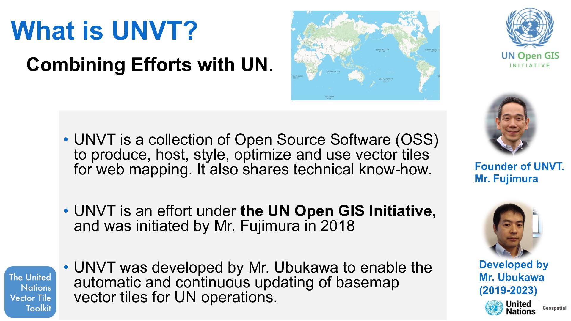
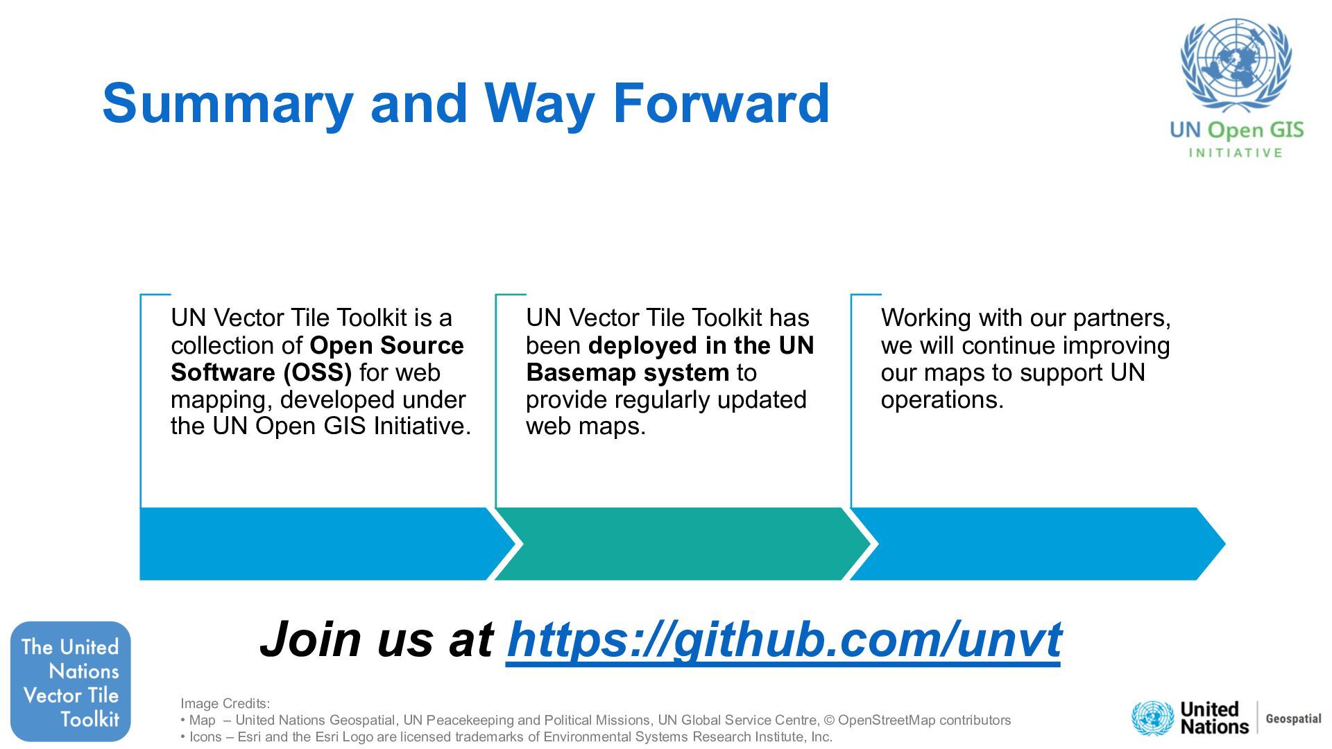
    Tile Toolkit is a collection of Open Source Software (OSS) for web mapping, developed under the UN Open GIS Initiative. UN Vector Tile Toolkit has been deployed in the UN Basemap system to provide regularly updated web maps. Working with our partners, we will continue improving our maps to support UN operations. Image Credits: • Map – United Nations Geospatial, UN Peacekeeping and Political Missions, UN Global Service Centre, © OpenStreetMap contributors • Icons – Esri and the Esri Logo are licensed trademarks of Environmental Systems Research Institute, Inc.