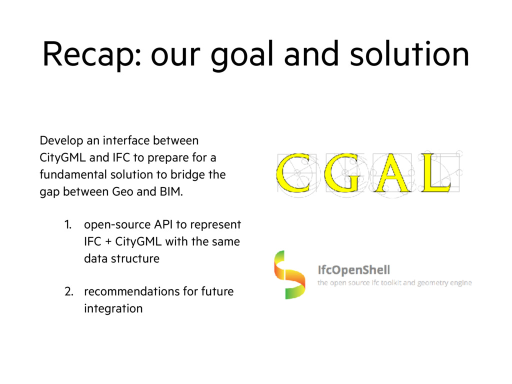
and IFC to prepare for a fundamental solution to bridge the gap between Geo and BIM. 1. open-source API to represent IFC + CityGML with the same data structure 2. recommendations for future integration
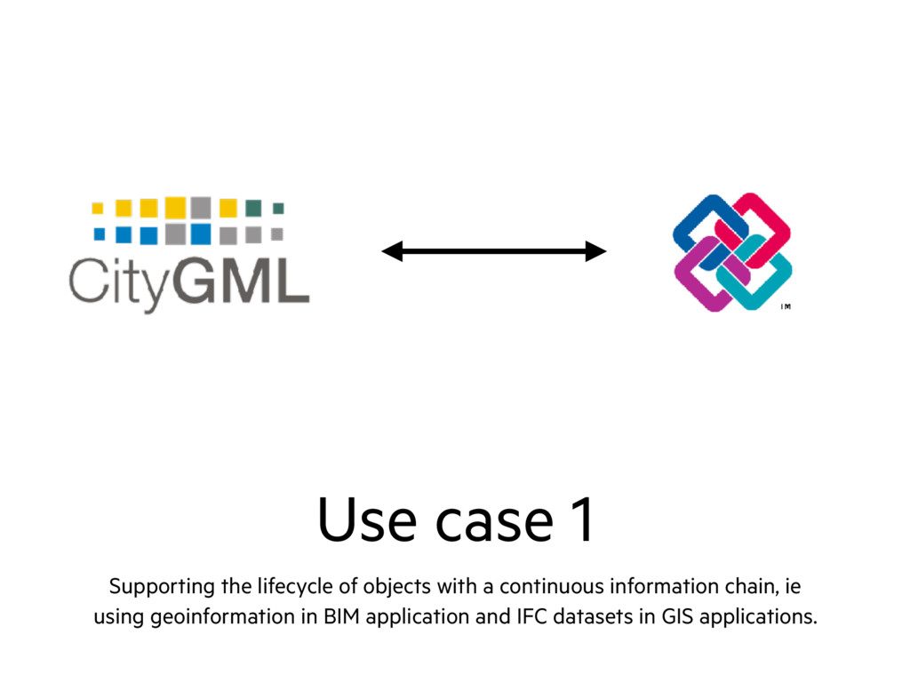
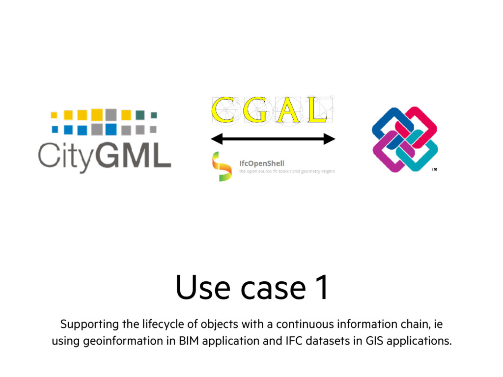
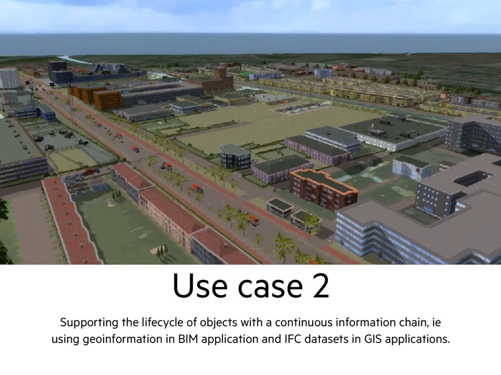
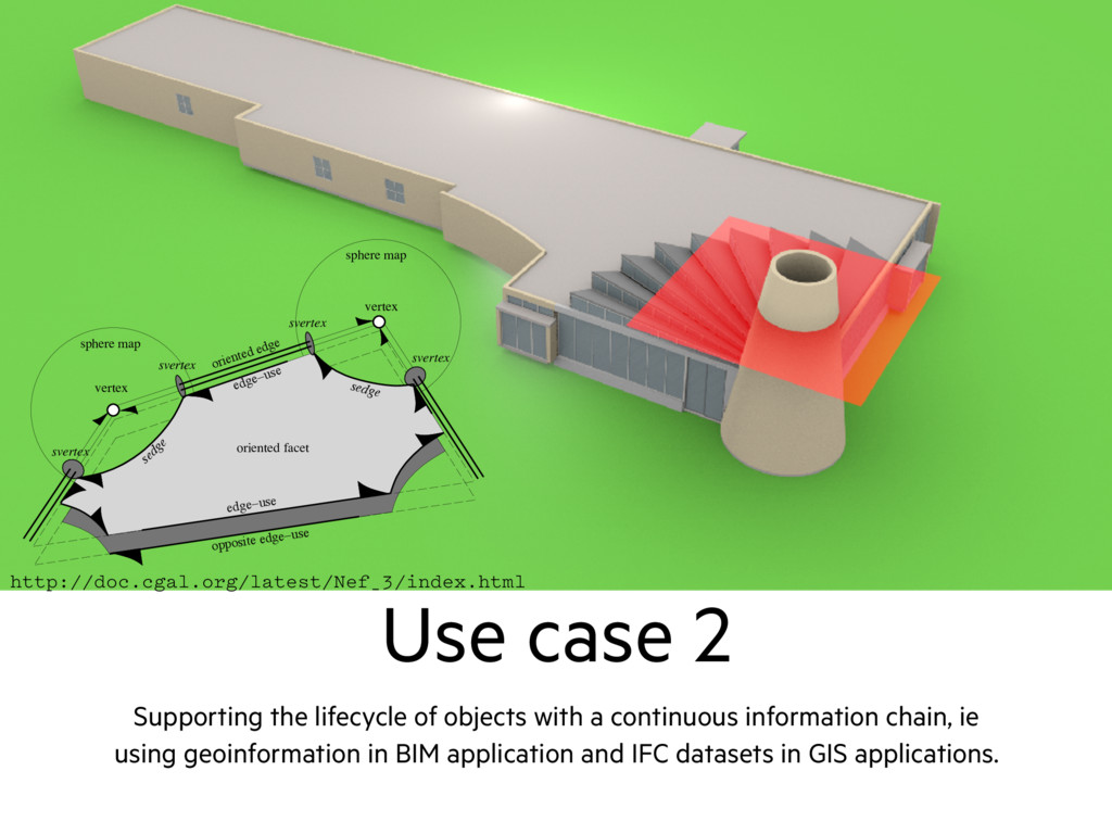
continuous information chain, ie using geoinformation in BIM application and IFC datasets in GIS applications. CHAPTER 3. REPRESENTATION SCHEMES edge−use opposite edge−use vertex sphere map svertex sedge oriented edge sphere map vertex edge−use svertex svertex svertex sedge oriented facet ure 3.3: A selective Nef complex: We show one facet with two vertices, their ere maps, the connecting edges, and both oriented facets. Shells and volumes omitted. ge-uses: An edge can have many incident facets (non-manifold situation). We introduce two oppositely oriented edge-uses for each incident facet; one for each orientation of the facet. An edge-use points to its corresponding ori- ented edge and to its oriented facet. We can uniquely identify each edge use with an shalfedge, or, in the special case, also with an shalfloop. cets: We store oriented halffacets as boundary cycles of oriented edge-uses. We http://doc.cgal.org/latest/Nef_3/index.html
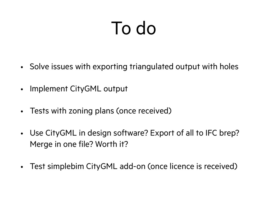
holes • Implement CityGML output • Tests with zoning plans (once received) • Use CityGML in design software? Export of all to IFC brep? Merge in one file? Worth it? • Test simplebim CityGML add-on (once licence is received)
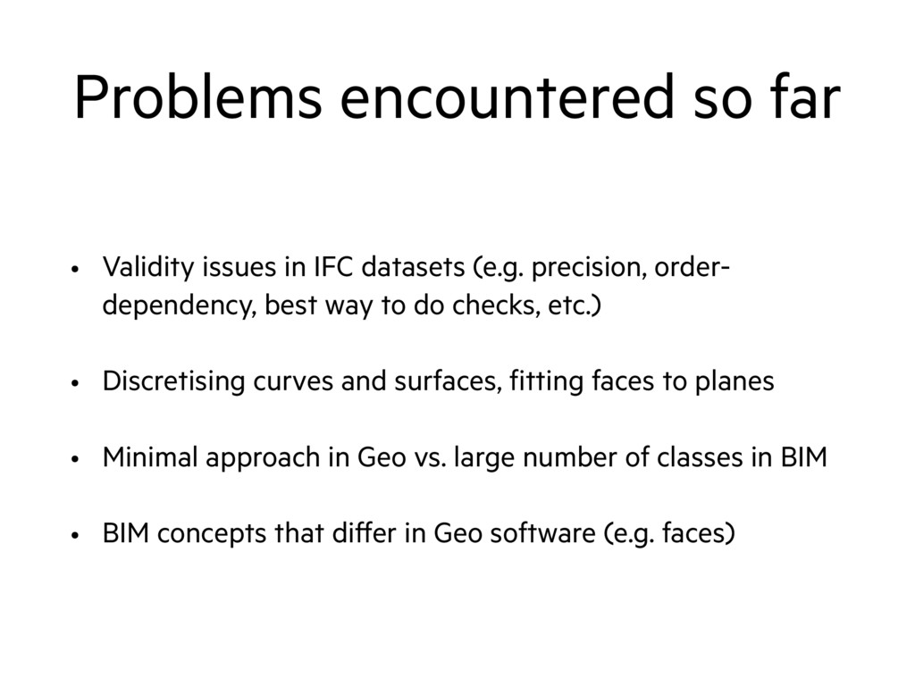
(e.g. precision, order- dependency, best way to do checks, etc.) • Discretising curves and surfaces, fitting faces to planes • Minimal approach in Geo vs. large number of classes in BIM • BIM concepts that differ in Geo software (e.g. faces)


 kenohori
 prog893
 syuchimu
 moznion
 akitoshiga
 maimyyym
 ivry_presentationmaterials
 4o1sobblue
 carta_engineering
 yazm
yazm
.png) codatum
codatum
 codmoninc
 techtekt
 rkaga
rkaga
 portentint
 chikuwait
 quramy
.png) helenjbeal
helenjbeal
 axbom
axbom
 smashingmag
 mclloyd
 sonatard
 cassininazir
 jmmastey
 lfama
lfama