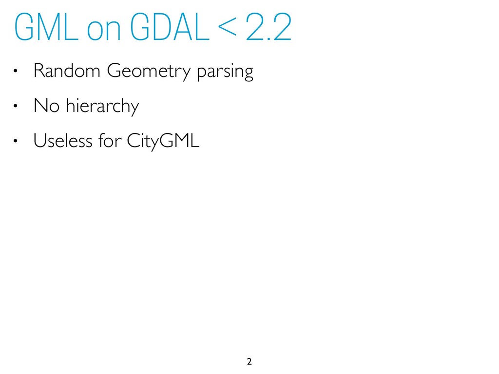
schema definitions (the xsi:schemaLocation property on .gml header) • Otherwise, you have to provide them explicitly: ogrinfo GMLAS:input.gml -oo XSD=http://schemas.opengis.net/citygml/ landuse/1.0/landUse.xsd,http://schemas.opengis.net/citygml/ cityfurniture/1.0/cityFurniture.xsd,http://schemas.opengis.net/ citygml/texturedsurface/1.0/texturedSurface.xsd,http:// schemas.opengis.net/citygml/transportation/1.0/ transportation.xsd,http://schemas.opengis.net/citygml/building/1.0/ building.xsd,http://schemas.opengis.net/citygml/waterbody/1.0/ waterBody.xsd,http://schemas.opengis.net/citygml/relief/1.0/ relief.xsd,http://schemas.opengis.net/citygml/vegetation/1.0/ vegetation.xsd,http://schemas.opengis.net/citygml/cityobjectgroup/ 1.0/cityObjectGroup.xsd,http://schemas.opengis.net/citygml/generics/ 1.0/generics.xsd 6 GDAL 2.2.1