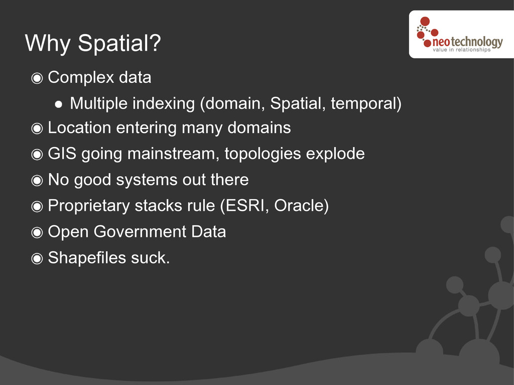
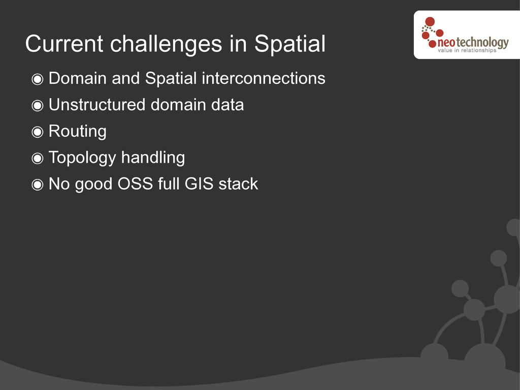
entering many domains GIS going mainstream, topologies explode No good systems out there Proprietary stacks rule (ESRI, Oracle) Open Government Data Shapefiles suck.
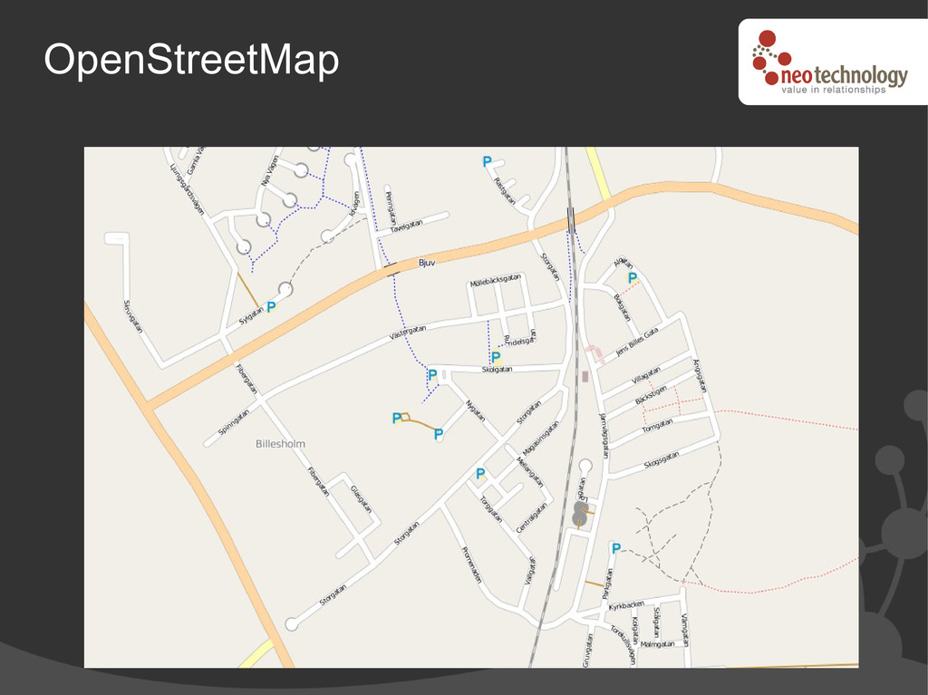
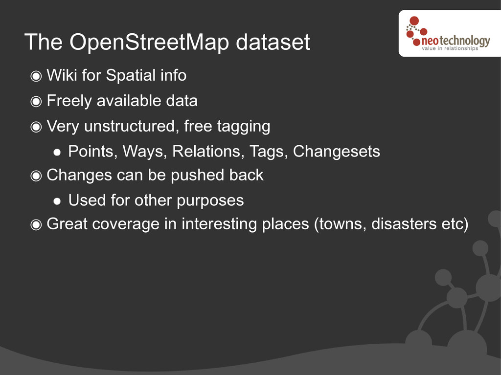
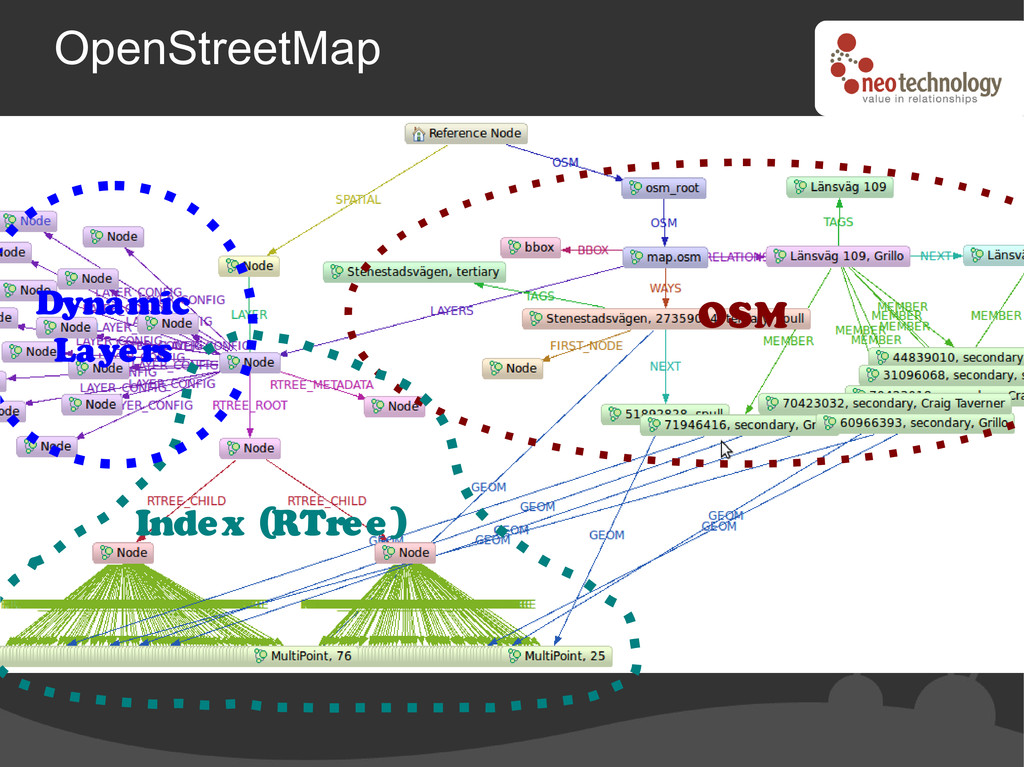
Very unstructured, free tagging Points, Ways, Relations, Tags, Changesets Changes can be pushed back Used for other purposes Great coverage in interesting places (towns, disasters etc)
![Neo4j Spatial Peter Neubauer Neo Technology #neo4j @peterneubauer [email protected] GIS](https://files.speakerdeck.com/presentations/4ffdfcbc3b87dd000101aa47/slide_0.jpg)