Upgrade to Pro — share decks privately, control downloads, hide ads and more …

MapGive AI-Assisted Mapathon

MapGive
September 02, 2020

MapGive AI-Assisted Mapathon

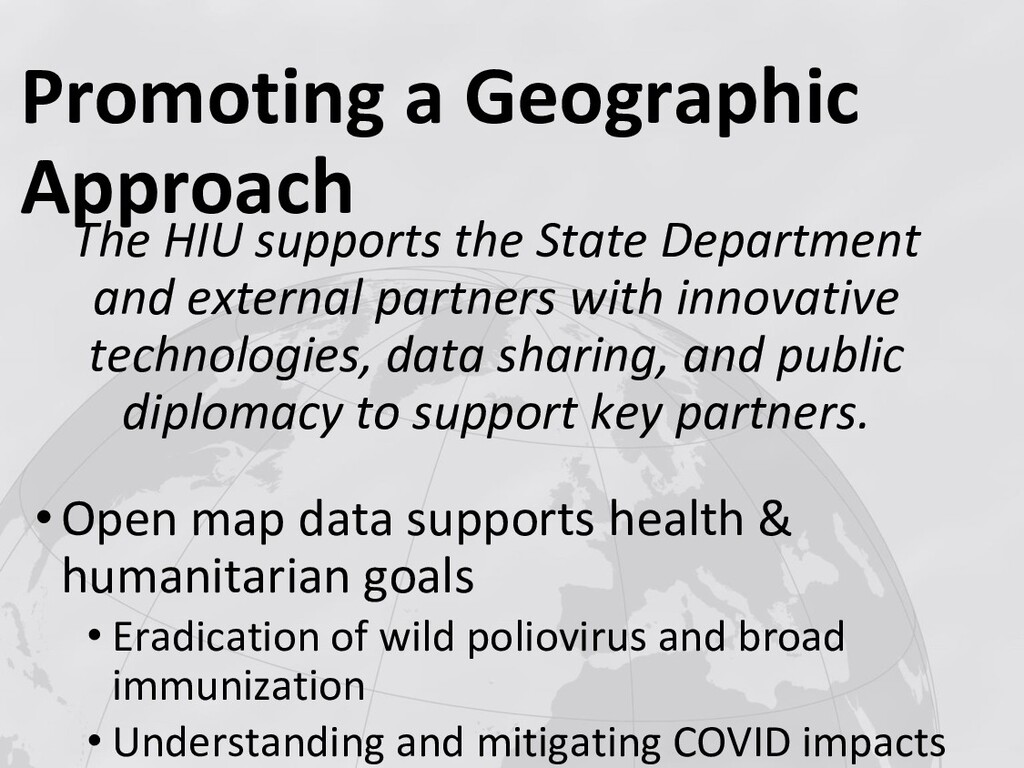
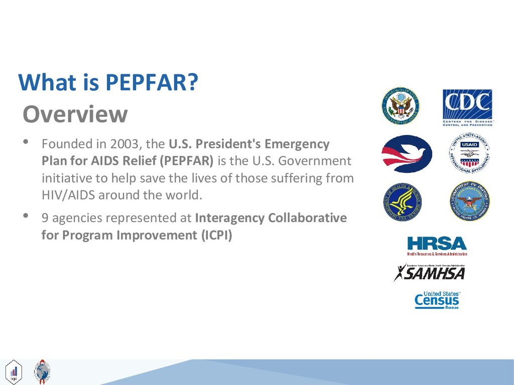
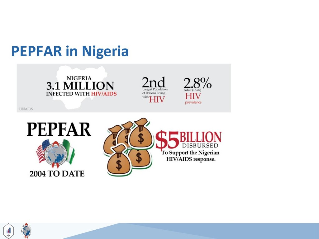
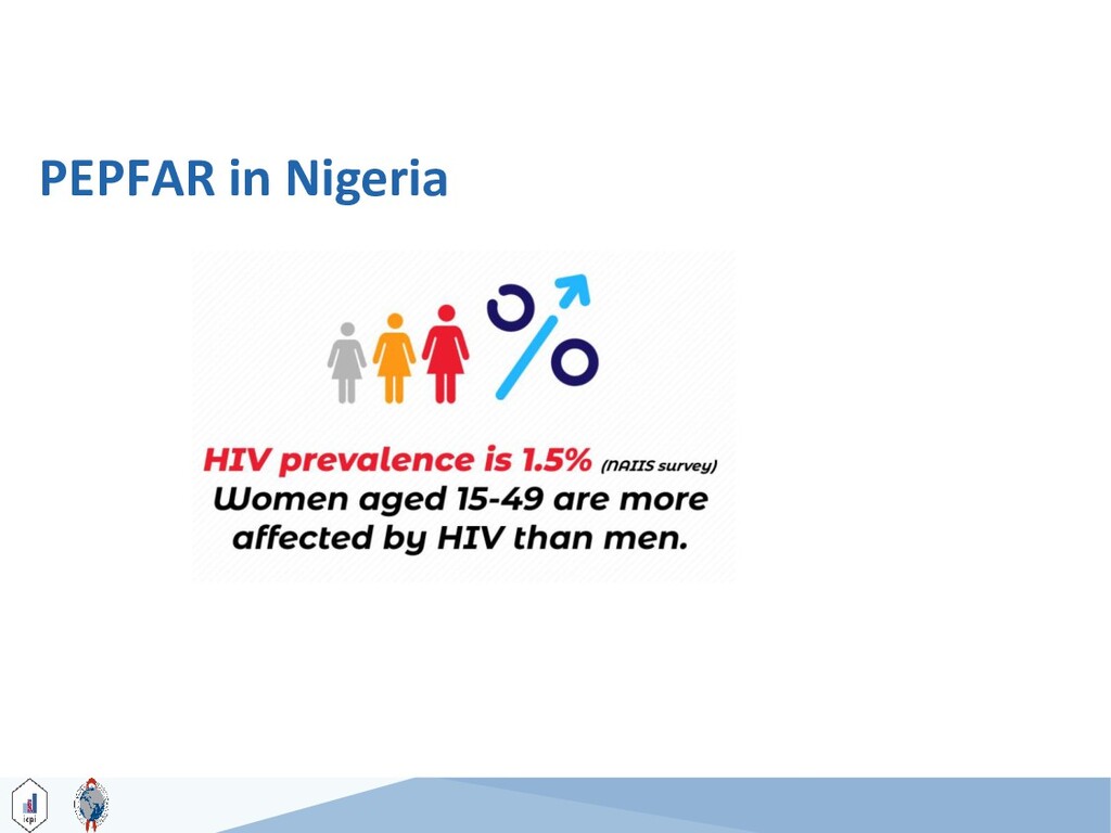
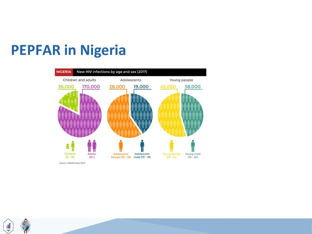
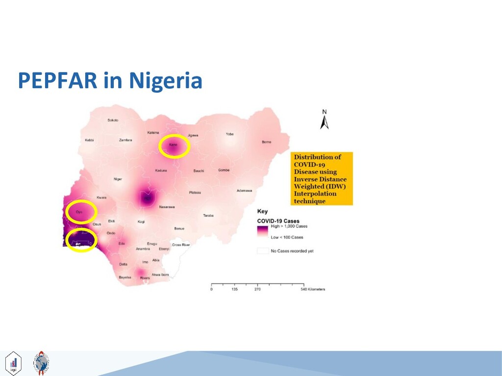
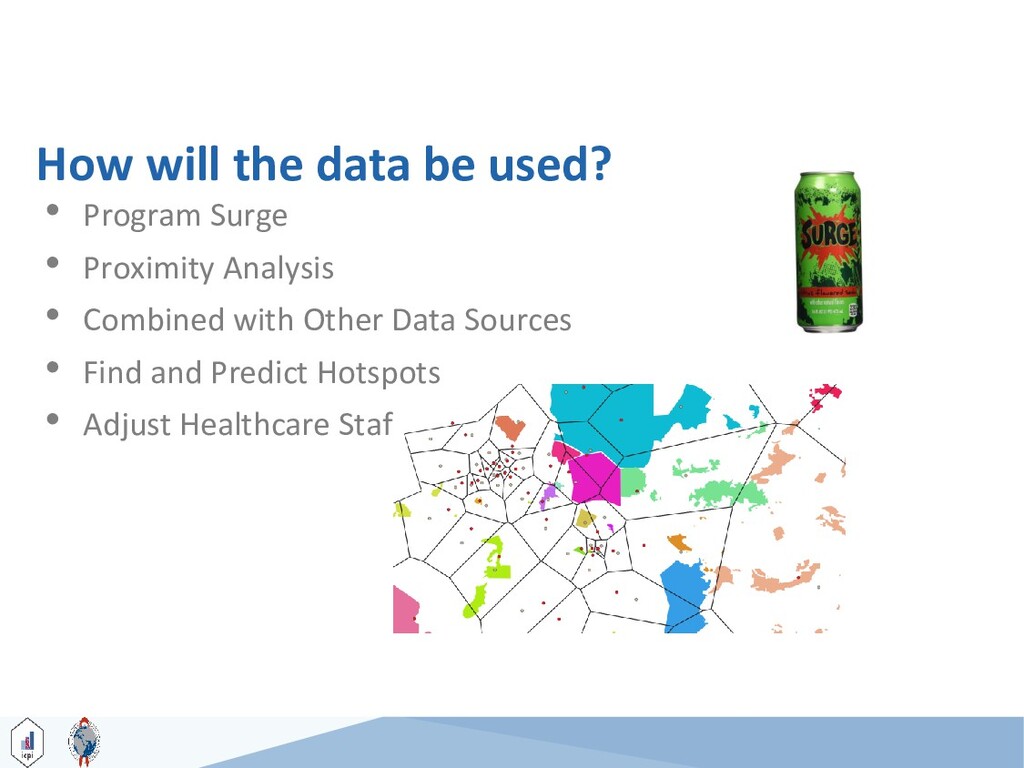
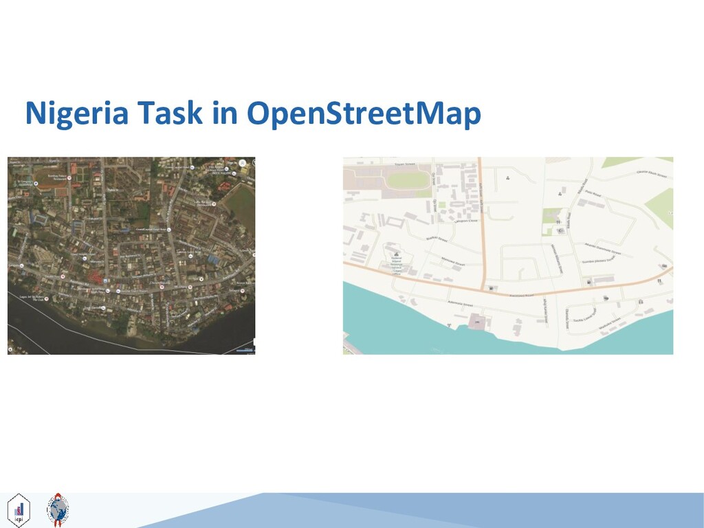
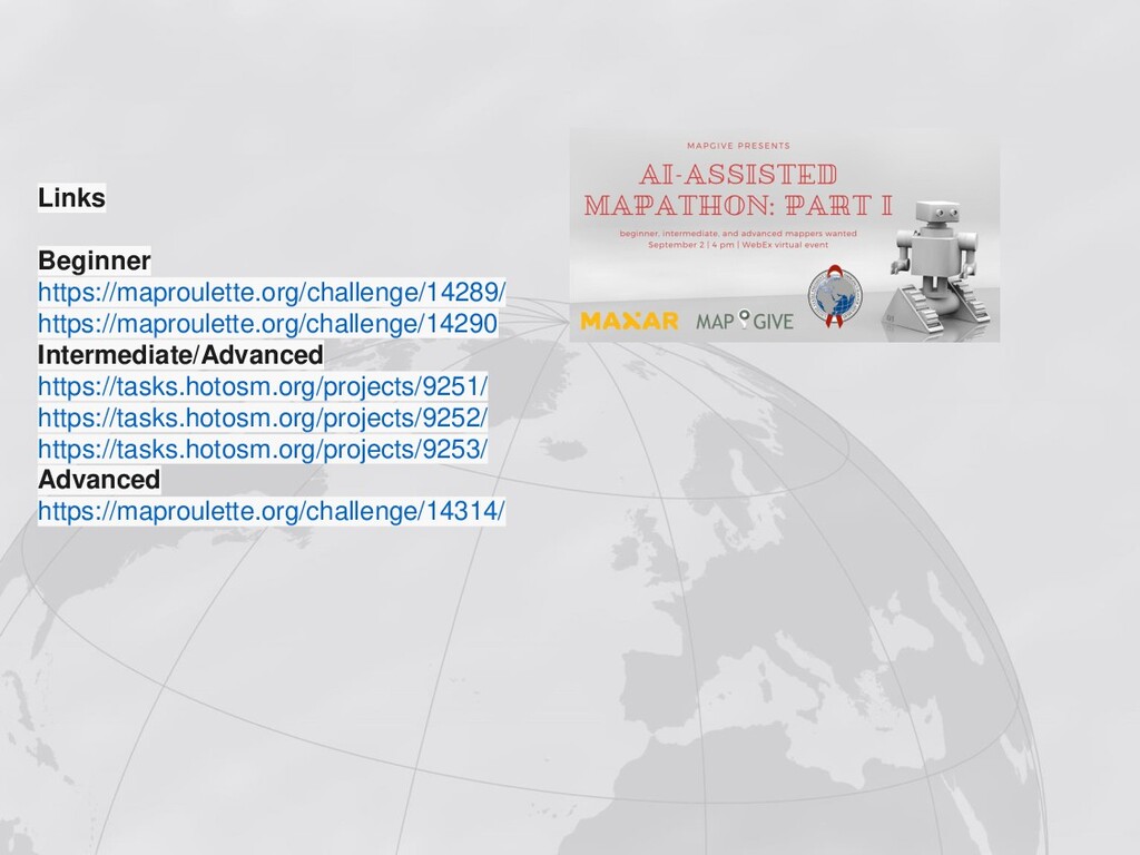
The MapGive team held a mapathon and partnered with Maxar to explore different AI technologies that can help make mapping easier and faster. In addition, our partner The President's Emergency Plan For AIDS Relief (PEPFAR) has identified mapping needs around clusters of health facilities in Nigeria where filling in holes in the map with publicly accessible open data can help local humanitarian and development activities.

MapGive

September 02, 2020
Tweet

More Decks by MapGive

Other Decks in Technology

Transcript

  1. • Introduction (4:00 – 4:05) • Maxar Presentation (4:05 –

    4:15) • Project introduction (4:15 – 4:25) – Laura Cline, U.S. State Department – Keifer Gonzalez, CDC • Training on mapping projects (4:25 – 4:40) – Matt Gibb, Maxar • Mapping Begins (4:40 – 5:55) • Conclusion (5:55 – 6:00) Agenda
  2. Find your toolbar - select the icons to show or

    not show the participant list, the chat box, and the Q&A section. Find the feedback icon, which you can use to provide feedback during presentations.
  3. © 2020 Maxar Technologies 6 Topics • An example of

    one way Maxar is using AI/ML • How AI/ML can be used in mapping • Maxar Open Data Program
  4. © 2020 Maxar Technologies 7 7 © 2020 Maxar Technologies

    Artificial Intelligence and Machine Learning
  5. © 2020 Maxar Technologies 8 Artificial intelligence is the study

    of training machines to perform tasks that typically would require a human intelligence Machine Learning is field within Artificial Intelligence where a system can learn and improve based on its experience and training.
  6. © 2020 Maxar Technologies 11 Foundational Features • Discrete, segmented

    features • Many companies and organizations releasing data with licensing friendly to support OSM • Maxar Open Data Program • Microsoft Building Footprints • Facebook RapiD Editor and road features
  7. © 2020 Maxar Technologies 12 Directed Mapping • Object detection

    and predictive analytics identifying potential features or areas of interest based on specific criteria • Reduces the area needed to review for specific features • Allows mappers to make the final decision before adding to the map Sporting Facility Burial Site Burial Site Airport
  8. © 2020 Maxar Technologies 13 Support mappers by intelligently directing

    them to the features that are important to their mission
  9. © 2020 Maxar Technologies 15 Open Data Program Overview •

    Open Data Program was launched in January 2017 • ODP was activated for 12 events in 2017, 17 events in 2018, 9 events in 2019 and 8 events in 2020 so far • Maxar’s objectives with the Open Data Program are twofold: (1) accelerate disaster response efforts with timely, actionable information and (2) foster a community of practice around satellite imagery and geospatial intelligence for disaster management
  10. © 2020 Maxar Technologies 18 ▪ Current activation to support

    the COVID- 19 response ▪ Imagery released for open, non- commercial purposes https://www.maxar.com/open-data Luanda, Angola Dar es Salaam, Tanzania Accra, Ghana Montego Bay, Jamaica San Jose, Costa Rica Kingston, Jamaica Zomba, Mali Nairobi, Kenya Dodoma, Tanzania Lagos, Nigeria Mogadishu, Somalia Lilongwe, Malawi Abidjan, Cote d’Ivoire Dhaka, Bangladesh Blantyre, Malawi Kinshasa, DRC Port Moresby, PNG COVID Imagery
  11. Questions/Collaboration Please reach out to Madison Musgrave at [email protected] or

    [email protected] Sign up for Open Data Program alerts at https://www.maxar.com/open-data
  12. Building Mapping Partnerships to Support Humanitarian Activities Laura Cline, Geographer

    Director, C2M2 Program Humanitarian Information Unit MapGive-Maxar Mapathon 2 September 2020
  13. Promoting a Geographic Approach The HIU supports the State Department

    and external partners with innovative technologies, data sharing, and public diplomacy to support key partners. •Open map data supports health & humanitarian goals • Eradication of wild poliovirus and broad immunization • Understanding and mitigating COVID impacts
  14. COVID Resources - Sharing Best Practices • Consolidating Research &

    Int’l Standards • Second-order effects • Ethics of Participatory Mapping • Methodologies • Technology Development • Sharing methodologies • Interoperability of data • Building networks for the future • Crossing cultures & languages • Regional & global networks • Local sustainability
  15. What is PEPFAR? Overview • Founded in 2003, the U.S.

    President's Emergency Plan for AIDS Relief (PEPFAR) is the U.S. Government initiative to help save the lives of those suffering from HIV/AIDS around the world. • 9 agencies represented at Interagency Collaborative for Program Improvement (ICPI) 26
  16. How will the data be used? 35 • Program Surge

    • Proximity Analysis • Combined with Other Data Sources • Find and Predict Hotspots • Adjust Healthcare Staffing as Needed