of State, and managed by the American Association of Geographers (AAG). Hello! Habari! Gyebale ko! Before we begin, please take a moment to complete this brief survey. Scan me!
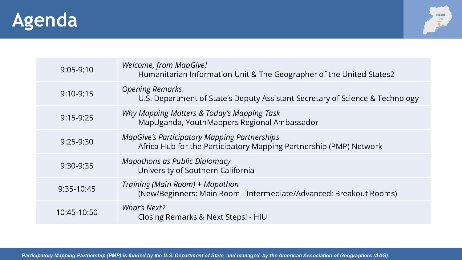
Department of State, and managed by the American Association of Geographers (AAG). 9:05-9:10 Welcome, from MapGive! Humanitarian Information Unit & The Geographer of the United States2 9:10-9:15 Opening Remarks U.S. Department of State’s Deputy Assistant Secretary of Science & Technology 9:15-9:25 Why Mapping Matters & Today’s Mapping Task MapUganda, YouthMappers Regional Ambassador 9:25-9:30 MapGive’s Participatory Mapping Partnerships Africa Hub for the Participatory Mapping Partnership (PMP) Network 9:30-9:35 Mapathons as Public Diplomacy University of Southern California 9:35-10:45 Training (Main Room) + Mapathon (New/Beginners: Main Room - Intermediate/Advanced: Breakout Rooms) 10:45-10:50 What’s Next? Closing Remarks & Next Steps! - HIU
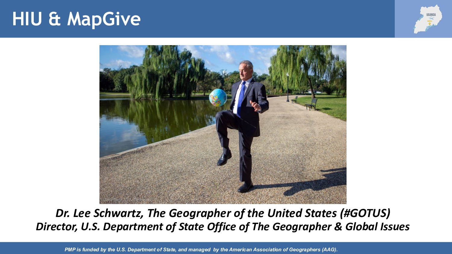
of State, and managed by the American Association of Geographers (AAG). Dr. Lee Schwartz, The Geographer of the United States (#GOTUS) Director, U.S. Department of State Office of The Geographer & Global Issues
managed by the American Association of Geographers (AAG). U.S. Department of State/OES James Levy Deputy Assistant Secretary for Science and Technology Bureau of Oceans and International Environmental and Scientific Affairs (OES)
State, and managed by the American Association of Geographers (AAG). Map Uganda Allan Mbabani, Executive Director, Map Uganda Stella Maris Nakachwa, Youth Mappers Regional Ambassador
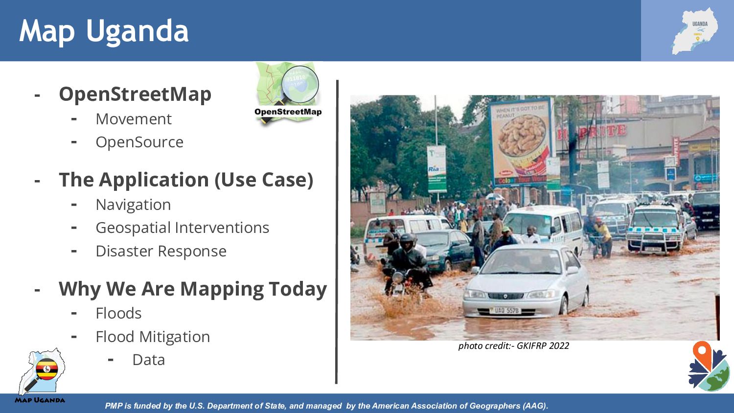
managed by the American Association of Geographers (AAG). - OpenStreetMap - Movement - OpenSource - The Application (Use Case) - Navigation - Geospatial Interventions - Disaster Response - Why We Are Mapping Today - Floods - Flood Mitigation - Data photo credit:- GKIFRP 2022 Map Uganda
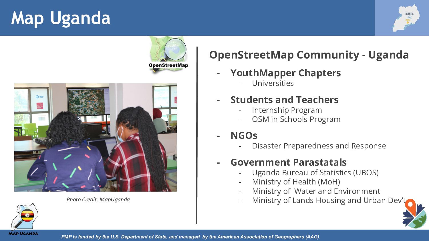
managed by the American Association of Geographers (AAG). OpenStreetMap Community - Uganda - YouthMapper Chapters - Universities - Students and Teachers - Internship Program - OSM in Schools Program - NGOs - Disaster Preparedness and Response - Government Parastatals - Uganda Bureau of Statistics (UBOS) - Ministry of Health (MoH) - Ministry of Water and Environment - Ministry of Lands Housing and Urban Dev’t Photo Credit: MapUganda Map Uganda
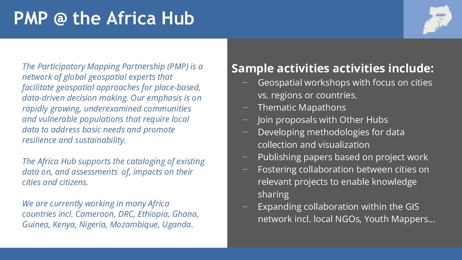
is a network of global geospatial experts that facilitate geospatial approaches for place-based, data-driven decision making. Our emphasis is on rapidly growing, underexamined communities and vulnerable populations that require local data to address basic needs and promote resilience and sustainability. The Africa Hub supports the cataloging of existing data on, and assessments of, impacts on their cities and citizens. We are currently working in many Africa countries incl. Cameroon, DRC, Ethiopia, Ghana, Guinea, Kenya, Nigeria, Mozambique, Uganda. Sample activities activities include: − Geospatial workshops with focus on cities vs. regions or countries. − Thematic Mapathons − Join proposals with Other Hubs − Developing methodologies for data collection and visualization − Publishing papers based on project work − Fostering collaboration between cities on relevant projects to enable knowledge sharing − Expanding collaboration within the GIS network incl. local NGOs, Youth Mappers…
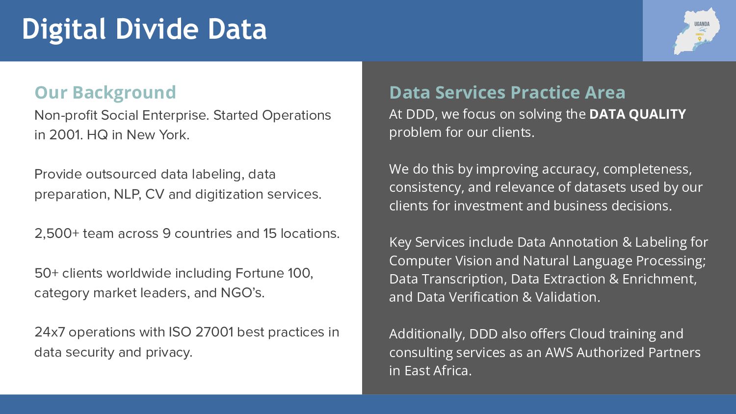
in 2001. HQ in New York. Provide outsourced data labeling, data preparation, NLP, CV and digitization services. 2,500+ team across 9 countries and 15 locations. 50+ clients worldwide including Fortune 100, category market leaders, and NGO’s. 24x7 operations with ISO 27001 best practices in data security and privacy. Data Services Practice Area At DDD, we focus on solving the DATA QUALITY problem for our clients. We do this by improving accuracy, completeness, consistency, and relevance of datasets used by our clients for investment and business decisions. Key Services include Data Annotation & Labeling for Computer Vision and Natural Language Processing; Data Transcription, Data Extraction & Enrichment, and Data Verification & Validation. Additionally, DDD also offers Cloud training and consulting services as an AWS Authorized Partners in East Africa.
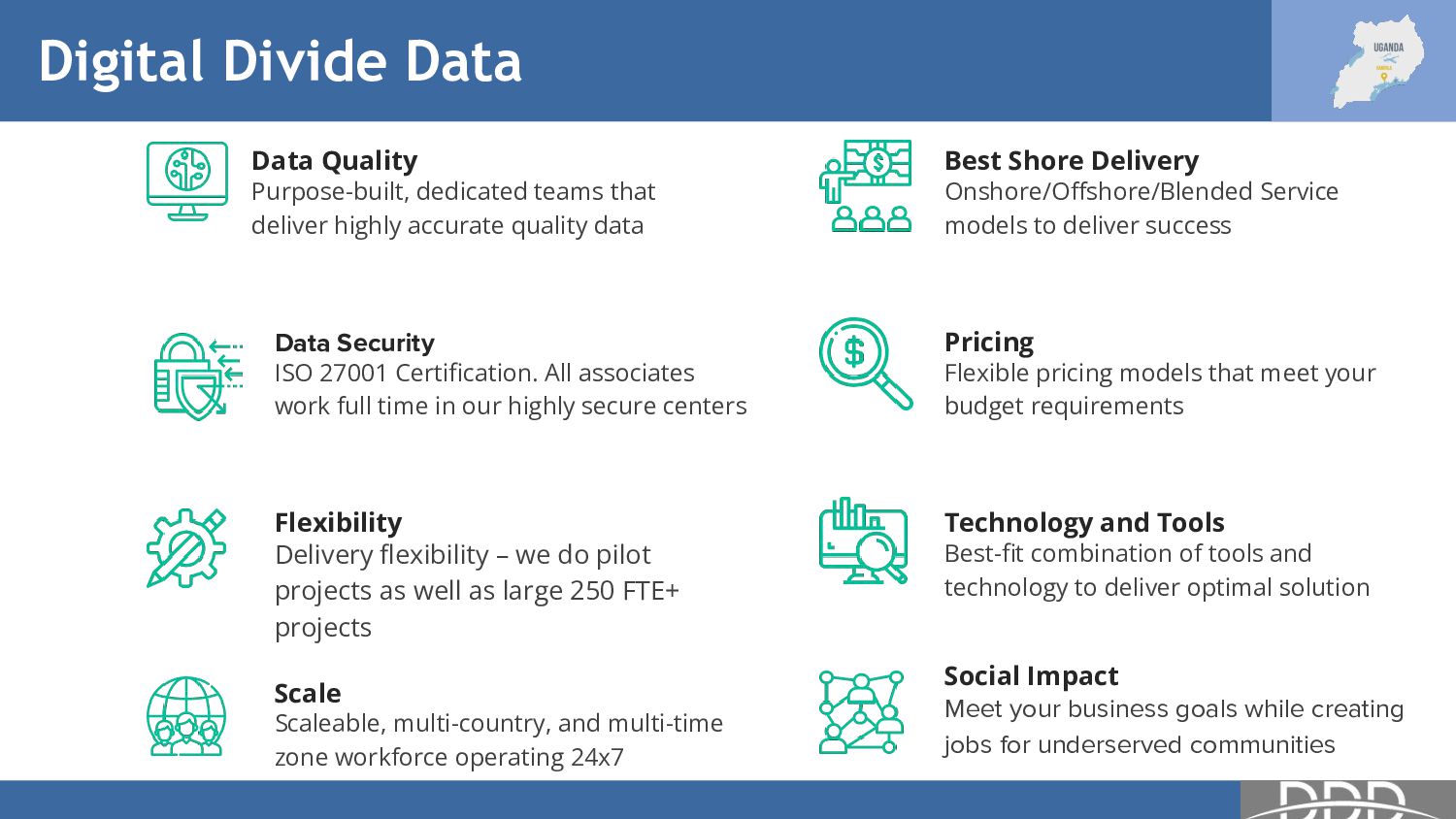
highly accurate quality data Data Security ISO 27001 Certification. All associates work full time in our highly secure centers Flexibility Delivery flexibility – we do pilot projects as well as large 250 FTE+ projects Scale Scaleable, multi-country, and multi-time zone workforce operating 24x7 Best Shore Delivery Onshore/Offshore/Blended Service models to deliver success Pricing Flexible pricing models that meet your budget requirements Technology and Tools Best-fit combination of tools and technology to deliver optimal solution Social Impact Meet your business goals while creating jobs for underserved communities
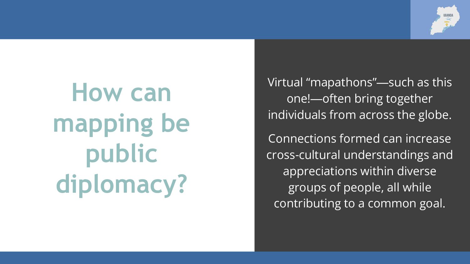
one!—often bring together individuals from across the globe. Connections formed can increase cross-cultural understandings and appreciations within diverse groups of people, all while contributing to a common goal.
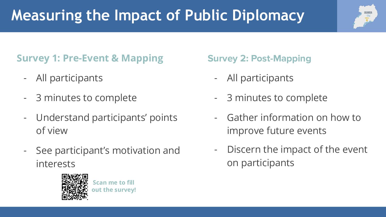
Mapping - All participants - 3 minutes to complete - Understand participants’ points of view - See participant’s motivation and interests Survey 2: Post-Mapping - All participants - 3 minutes to complete - Gather information on how to improve future events - Discern the impact of the event on participants Scan me to fill out the survey!
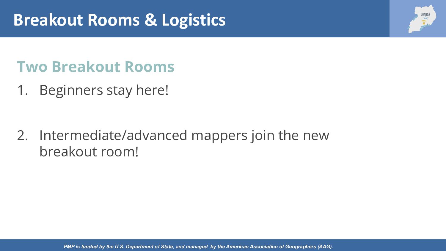
Department of State, and managed by the American Association of Geographers (AAG). Two Breakout Rooms 1. Beginners stay here! 2. Intermediate/advanced mappers join the new breakout room!
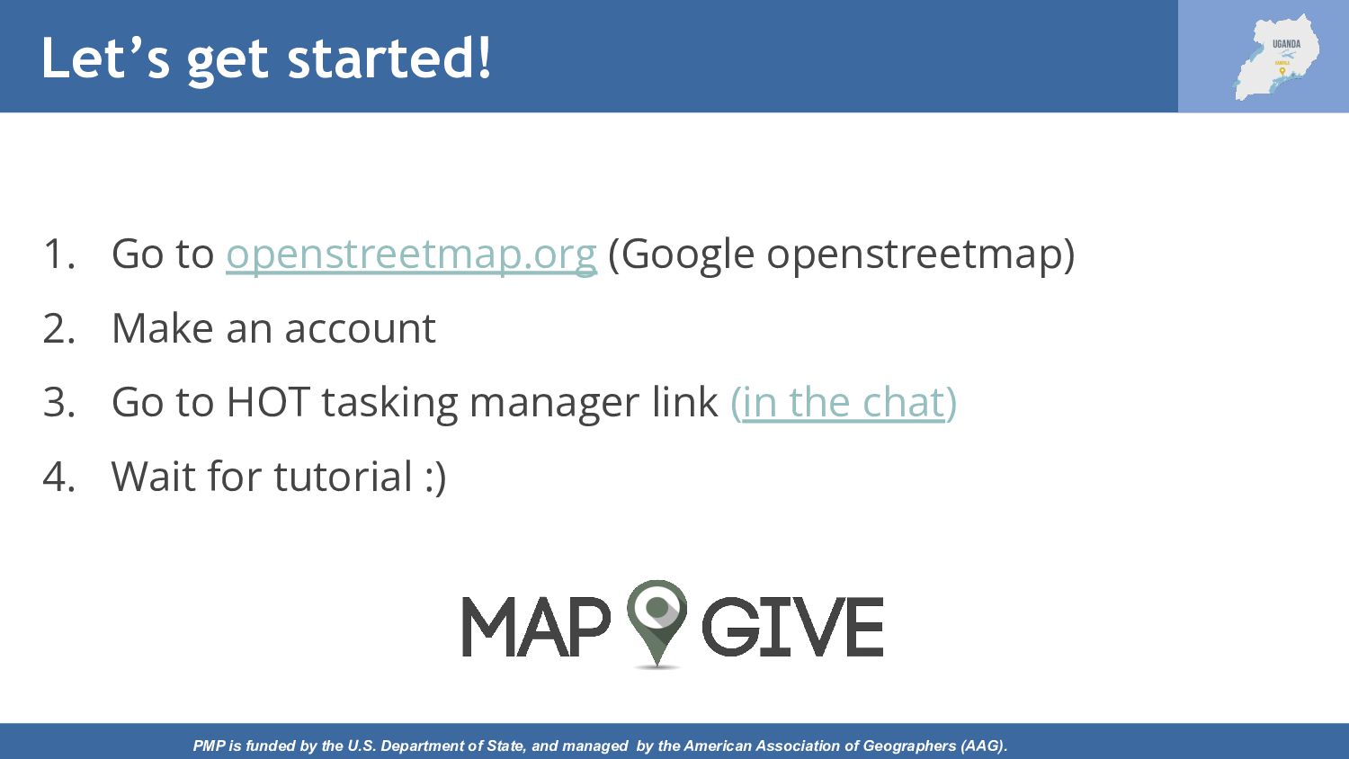
of State, and managed by the American Association of Geographers (AAG). 1. Go to openstreetmap.org (Google openstreetmap) 2. Make an account 3. Go to HOT tasking manager link (in the chat) 4. Wait for tutorial :)
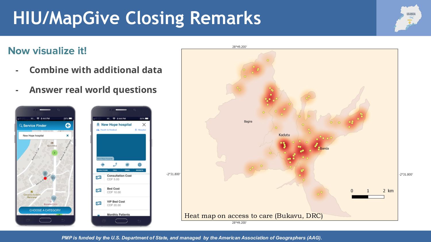
of State, and managed by the American Association of Geographers (AAG). Heat map on access to care (Bukavu, DRC) Now visualize it! - Combine with additional data - Answer real world questions
managed by the American Association of Geographers (AAG). Thank you! Asante! Weebale! Before leaving, please take a moment to complete this survey. Scan me!