Upgrade to Pro — share decks privately, control downloads, hide ads and more …

Pixxel - Provider of Satellite Based Earth Imag...

Pixxel - Provider of Satellite Based Earth Imaging Solutions

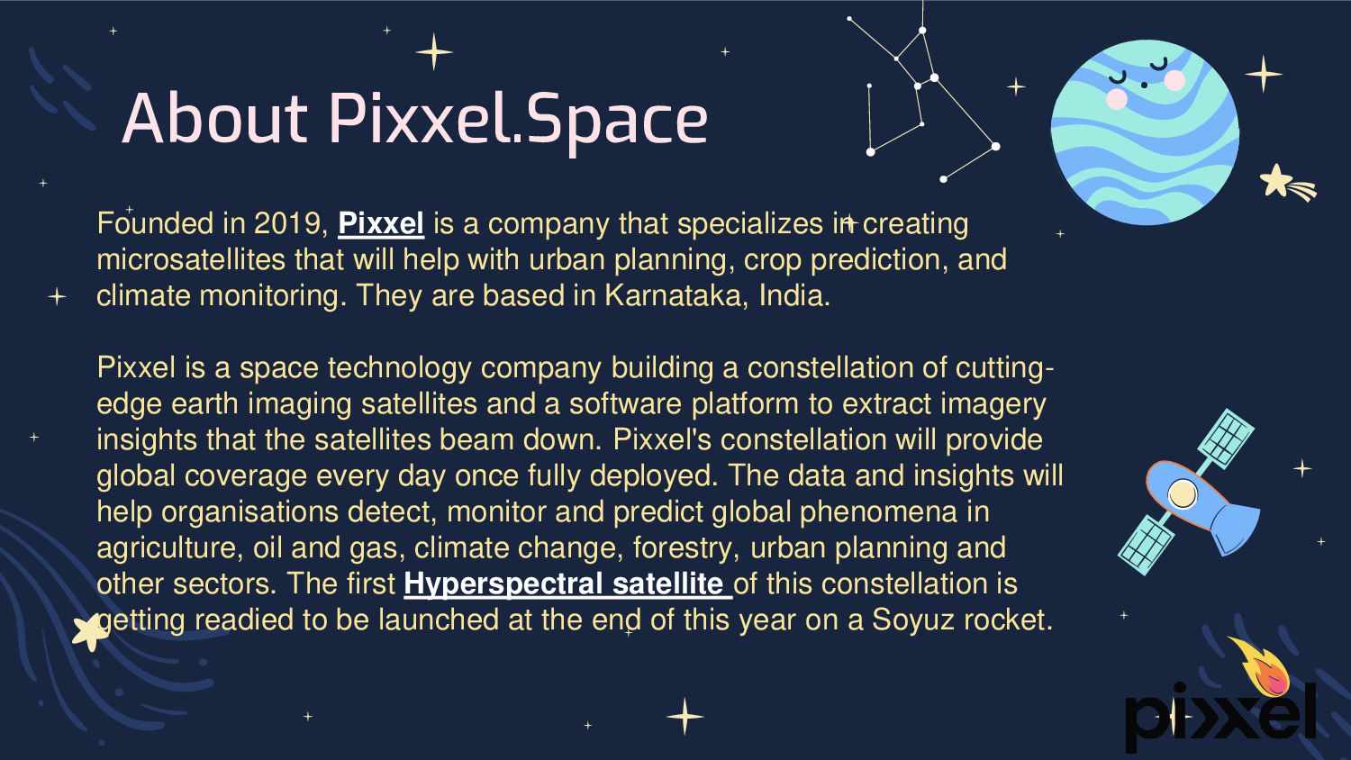
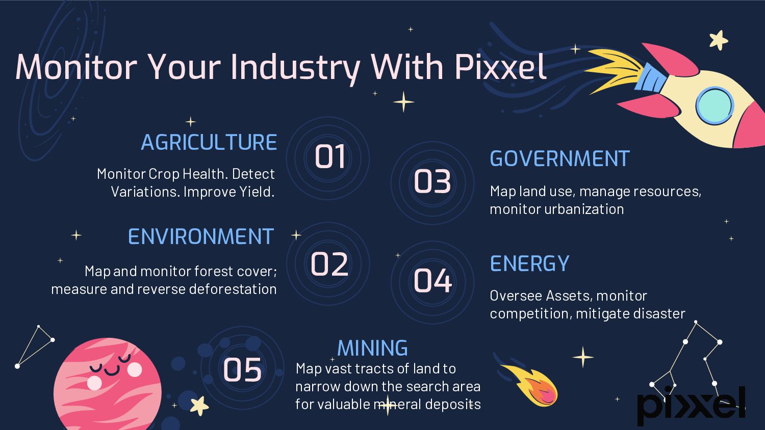
Pixxel is a space data company, building a constellation of hyperspectral earth imaging satellites and the analytical tools to mine insights from that data. The constellation is designed to provide global coverage every 24 hours, with the aim of detecting, monitoring and predicting global phenomena. The images gathered by Pixxel’s satellites will provide up-to-date information relevant to climate monitoring, crop yield prediction, urban planning, and disaster response.

Pixxel Space

August 19, 2023
Tweet

Other Decks in Technology

Transcript

  1. About Pixxel.Space Founded in 2019, Pixxel is a company that

    specializes in creating microsatellites that will help with urban planning, crop prediction, and climate monitoring. They are based in Karnataka, India. Pixxel is a space technology company building a constellation of cutting- edge earth imaging satellites and a software platform to extract imagery insights that the satellites beam down. Pixxel's constellation will provide global coverage every day once fully deployed. The data and insights will help organisations detect, monitor and predict global phenomena in agriculture, oil and gas, climate change, forestry, urban planning and other sectors. The first Hyperspectral satellite of this constellation is getting readied to be launched at the end of this year on a Soyuz rocket.
  2. AGRICULTURE Monitor Crop Health. Detect Variations. Improve Yield. 02 ENVIRONMENT

    Map and monitor forest cover; measure and reverse deforestation ENERGY Oversee Assets, monitor competition, mitigate disaster GOVERNMENT Map land use, manage resources, monitor urbanization Monitor Your Industry With Pixxel MINING Map vast tracts of land to narrow down the search area for valuable mineral deposits