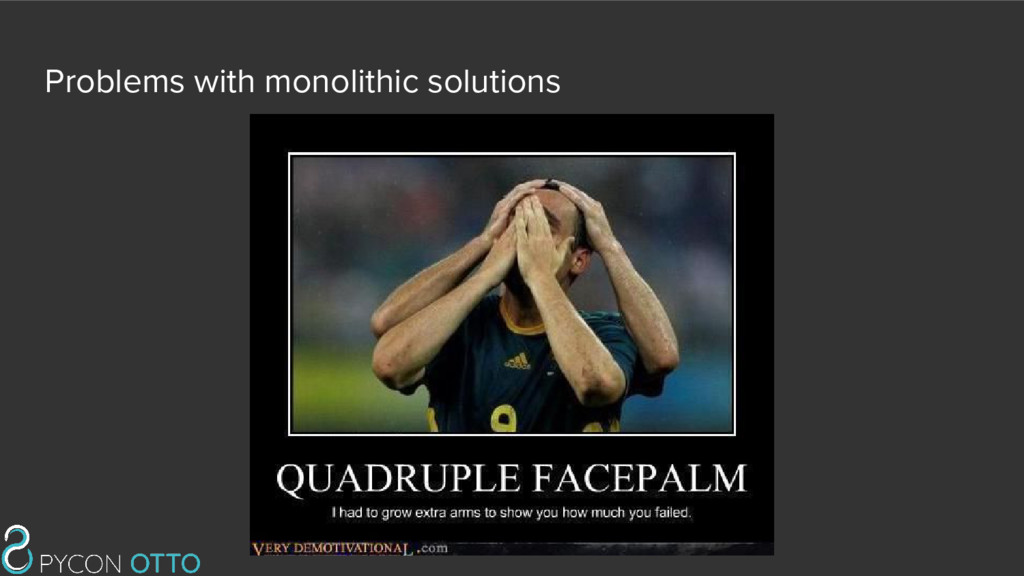
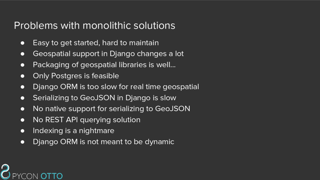
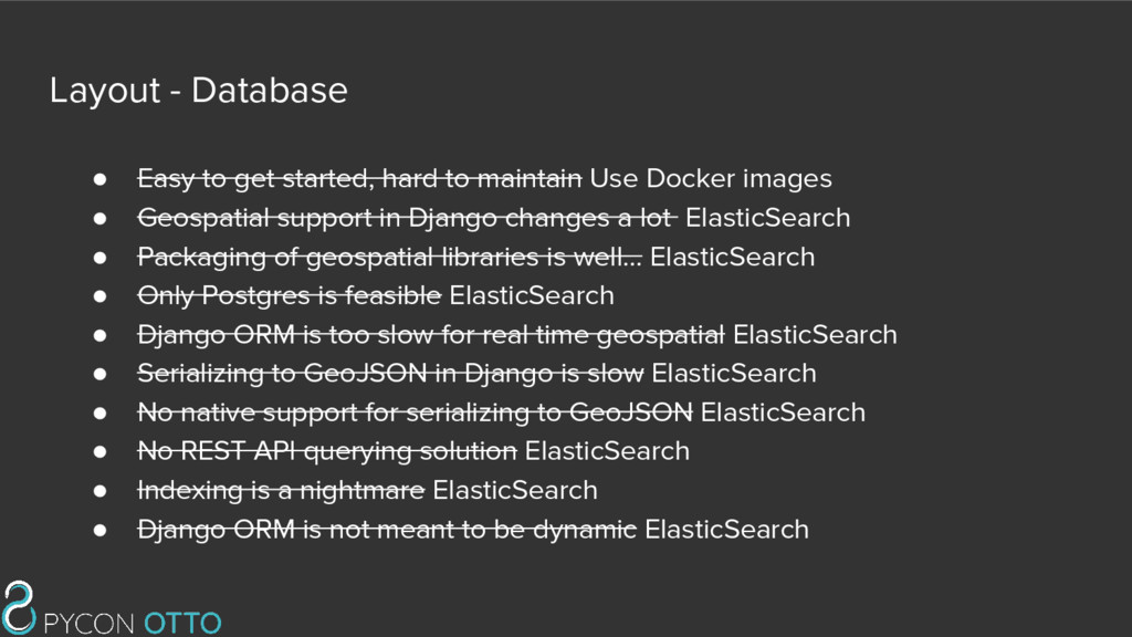
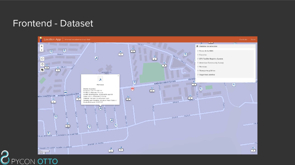
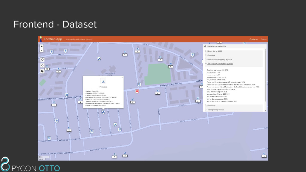
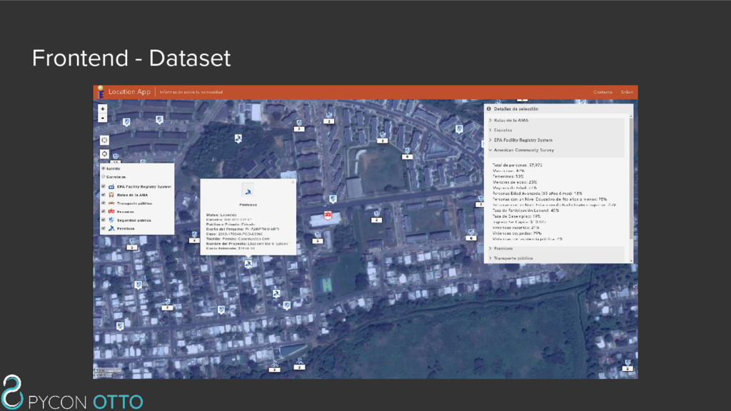
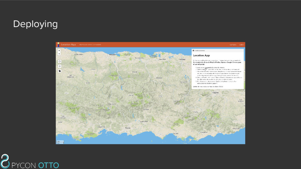
to maintain • Geospatial support in Django changes a lot • Packaging of geospatial libraries is well... • Only Postgres is feasible • Django ORM is too slow for real time geospatial • Serializing to GeoJSON in Django is slow • No native support for serializing to GeoJSON • No REST API querying solution • Indexing is a nightmare • Django ORM is not meant to be dynamic
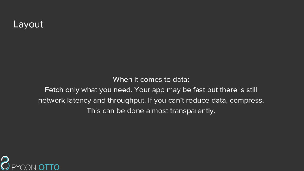
need. Your app may be fast but there is still network latency and throughput. If you can’t reduce data, compress. This can be done almost transparently.
maintain Use Docker images • Geospatial support in Django changes a lot ElasticSearch • Packaging of geospatial libraries is well… ElasticSearch • Only Postgres is feasible ElasticSearch • Django ORM is too slow for real time geospatial ElasticSearch • Serializing to GeoJSON in Django is slow ElasticSearch • No native support for serializing to GeoJSON ElasticSearch • No REST API querying solution ElasticSearch • Indexing is a nightmare ElasticSearch • Django ORM is not meant to be dynamic ElasticSearch
![Datastructure http://127.0.0.1:9200/_search/?source={"query":{"geo_shape":{"coordinates": {"shape":{"type":"circle","coordinates":[-66.36703491210938,18.302380604 025146],"radius":1000}}}}}](https://files.speakerdeck.com/presentations/dbe97d753dcd46dd82640d5c76b3a44e/slide_82.jpg)
![Datastructure {"took":10,"timed_out":false,"_shards":{"total":5,"successful":5,"failed":0},"hits ":{"total":270966,"max_score":1.0,"hits":[{"_index":"location-app","_type":"per mit","_id":"AVsNr7iq_25KFlR_wOFL","_score":1.0,"_source":{"geojson": {"geometry": {"type": "Point", "coordinates": ["-66.438255310058494", "18.354152679443299"]},](https://files.speakerdeck.com/presentations/dbe97d753dcd46dd82640d5c76b3a44e/slide_83.jpg)
![Datastructure {"took":10,"timed_out":false,"_shards":{"total":5,"successful":5,"failed":0},"hits ":{"total":270966,"max_score":1.0,"hits":[{"_index":"location-app","_type":"per mit","_id":"AVsNr7iq_25KFlR_wOFL","_score":1.0,"_source":{"geojson": {"geometry": {"type": "Point", "coordinates": ["-66.438255310058494", "18.354152679443299"]},](https://files.speakerdeck.com/presentations/dbe97d753dcd46dd82640d5c76b3a44e/slide_84.jpg)
![Datastructure {"took":10,"timed_out":false,"_shards":{"total":5,"successful":5,"failed":0},"hits ":{"total":270966,"max_score":1.0,"hits":[{"_index":"location-app","_type":"per mit","_id":"AVsNr7iq_25KFlR_wOFL","_score":1.0,"_source":{"geojson": {"geometry": {"type": "Point", "coordinates": ["-66.438255310058494", "18.354152679443299"]},](https://files.speakerdeck.com/presentations/dbe97d753dcd46dd82640d5c76b3a44e/slide_85.jpg)
![Datastructure {"took":10,"timed_out":false,"_shards":{"total":5,"successful":5,"failed":0},"hits ":{"total":270966,"max_score":1.0,"hits":[{"_index":"location-app","_type":"per mit","_id":"AVsNr7iq_25KFlR_wOFL","_score":1.0,"_source":{"geojson": {"geometry": {"type": "Point", "coordinates": ["-66.438255310058494", "18.354152679443299"]},](https://files.speakerdeck.com/presentations/dbe97d753dcd46dd82640d5c76b3a44e/slide_86.jpg)
![Datastructure {"took":10,"timed_out":false,"_shards":{"total":5,"successful":5,"failed":0},"hits ":{"total":270966,"max_score":1.0,"hits":[{"_index":"location-app","_type":"per mit","_id":"AVsNr7iq_25KFlR_wOFL","_score":1.0,"_source":{"geojson": {"geometry": {"type": "Point", "coordinates": ["-66.438255310058494", "18.354152679443299"]},](https://files.speakerdeck.com/presentations/dbe97d753dcd46dd82640d5c76b3a44e/slide_87.jpg)