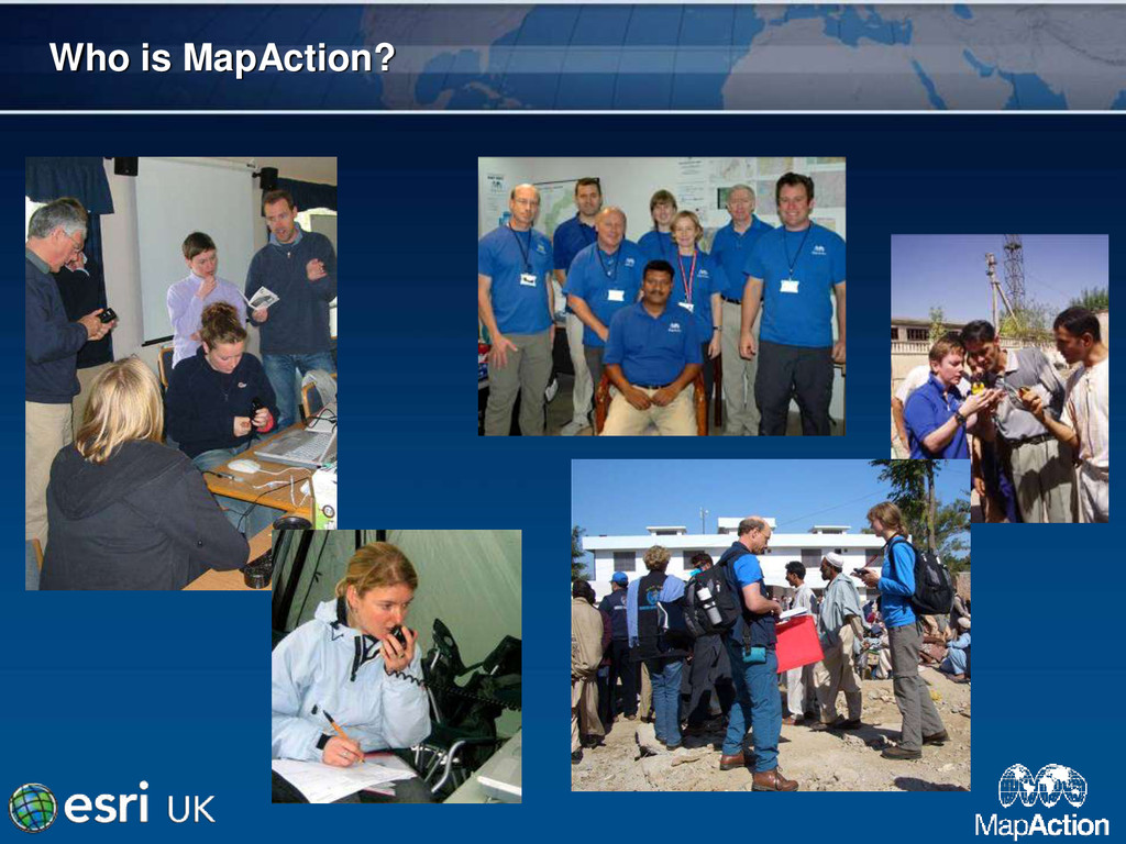
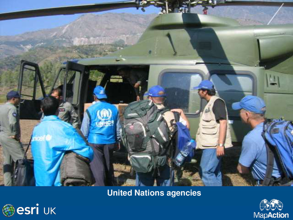
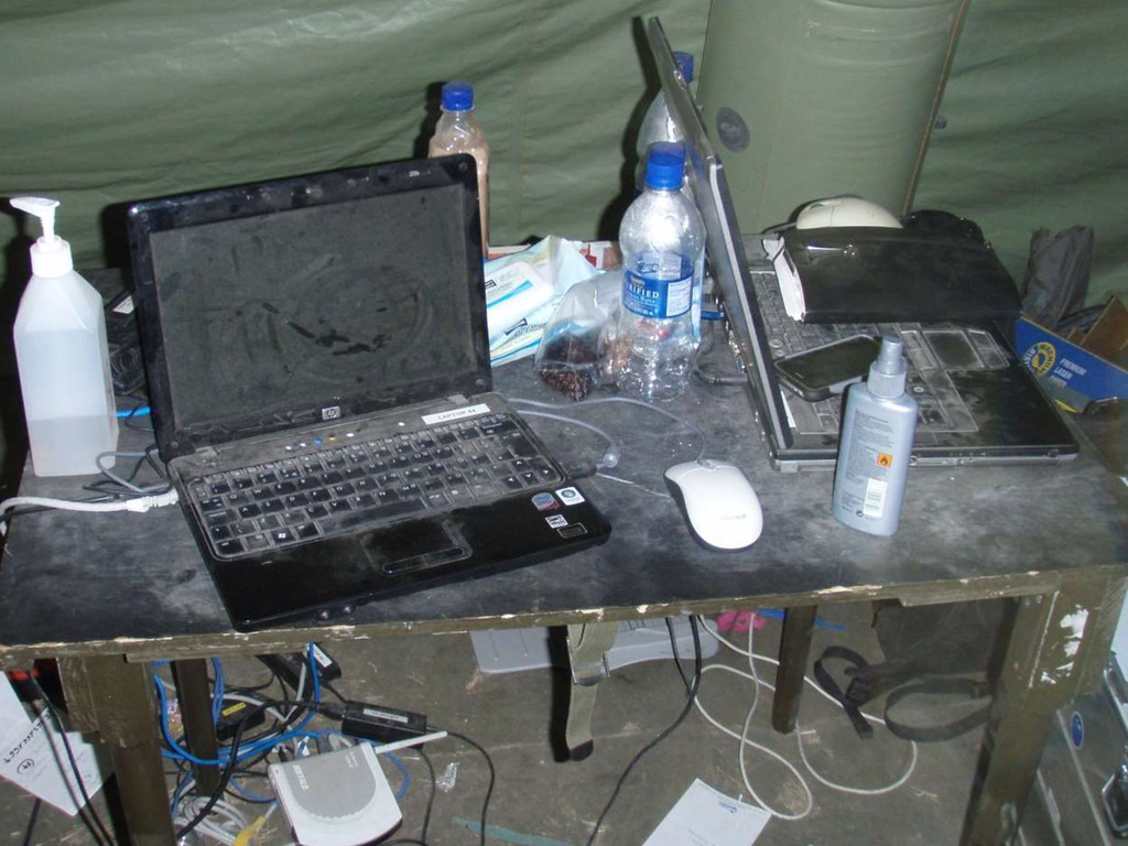
GIS is a powerful tool in providing a common operational picture during a humanitarian crisis. MapAction is the world's only deployable humanitarian GIS team.
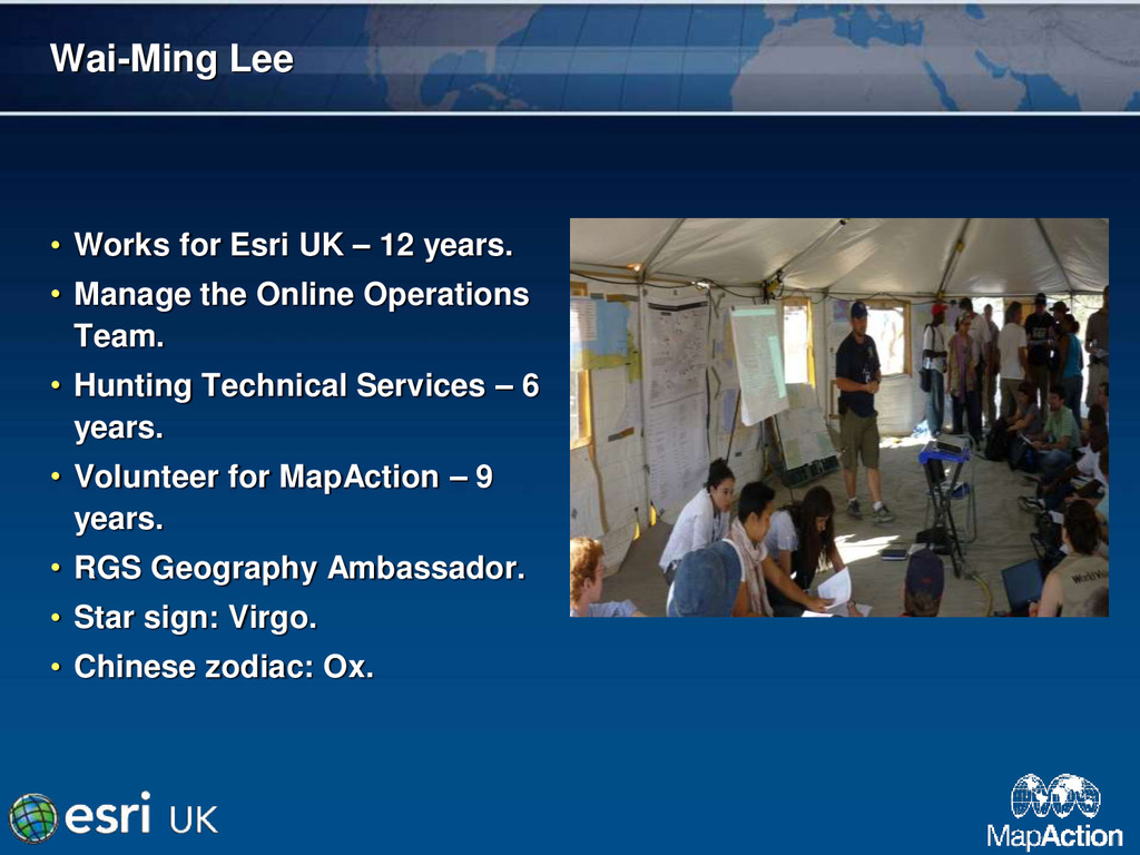
• Manage the Online Operations Team. • Hunting Technical Services – 6 years. • Volunteer for MapAction – 9 years. • RGS Geography Ambassador. • Star sign: Virgo. • Chinese zodiac: Ox.
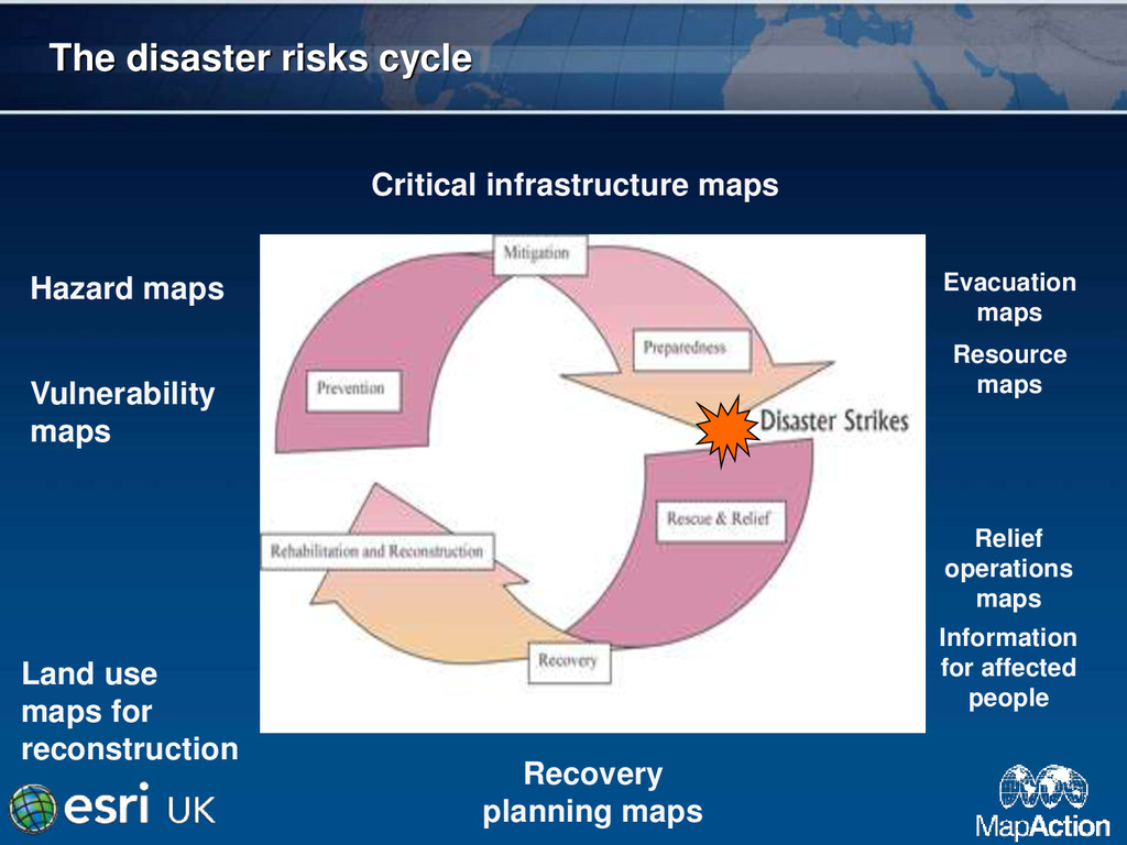
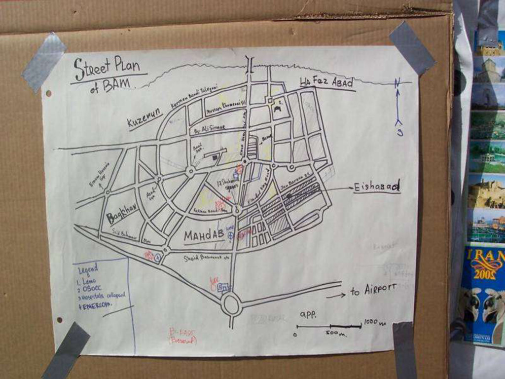
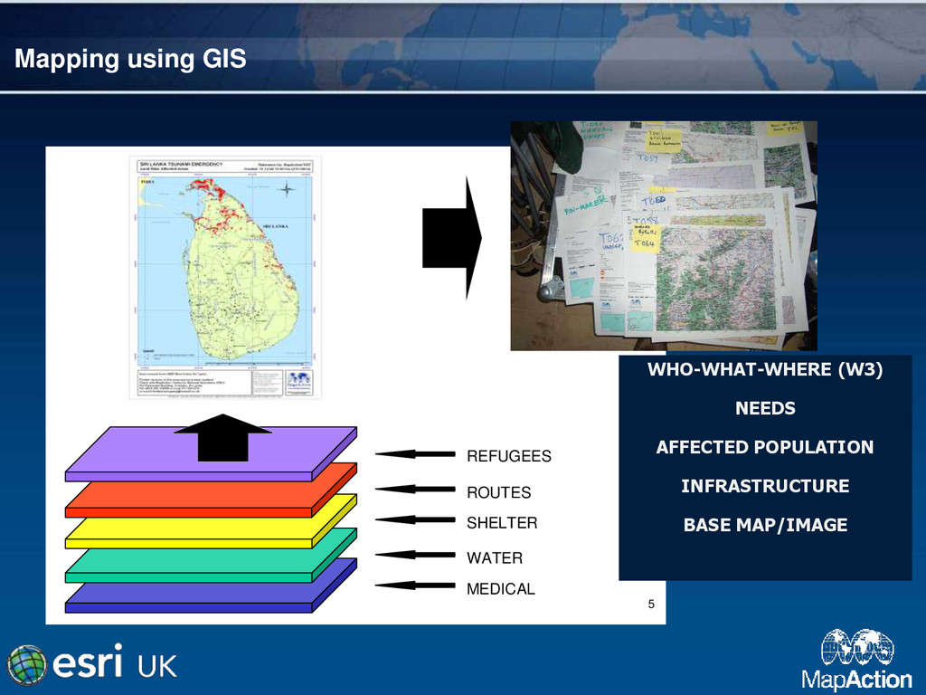
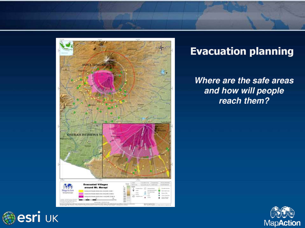
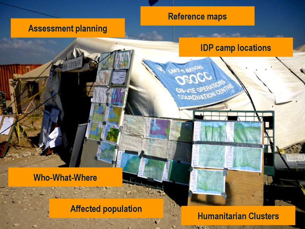
maps Critical infrastructure maps Evacuation maps Resource maps Relief operations maps Information for affected people Land use maps for reconstruction Recovery planning maps
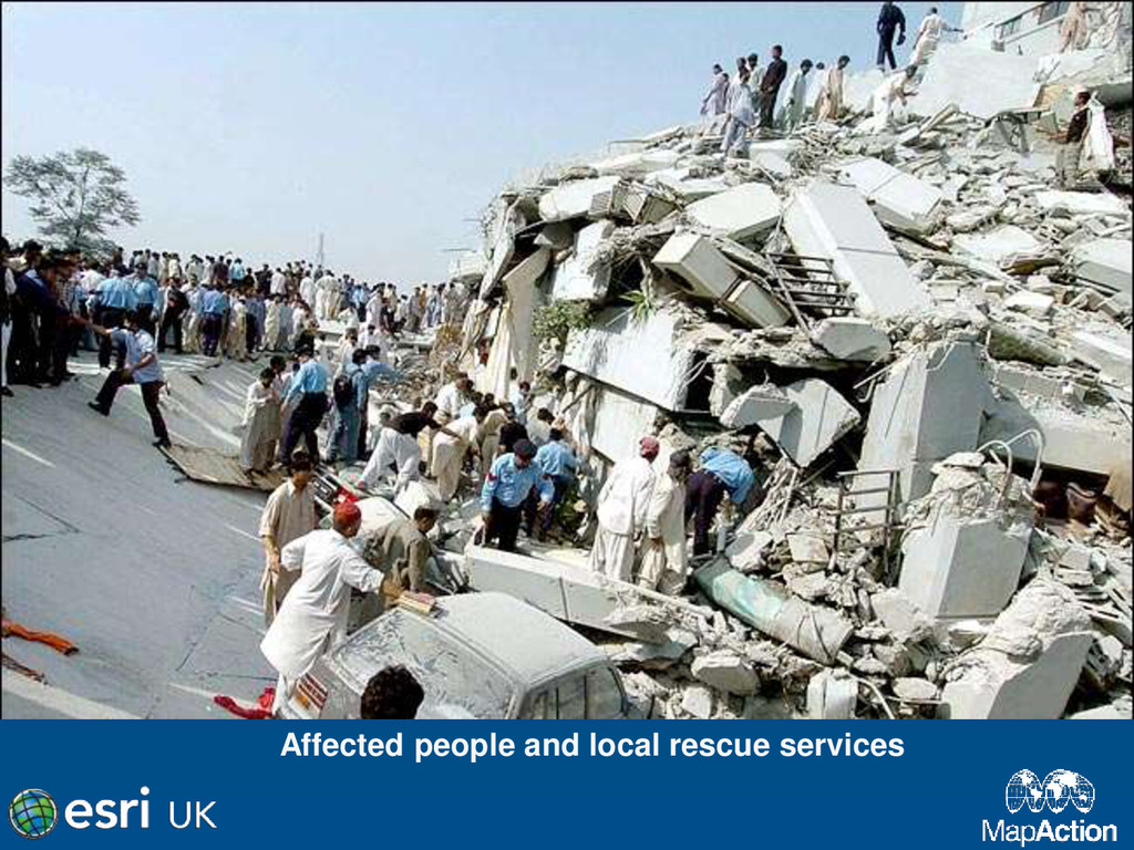
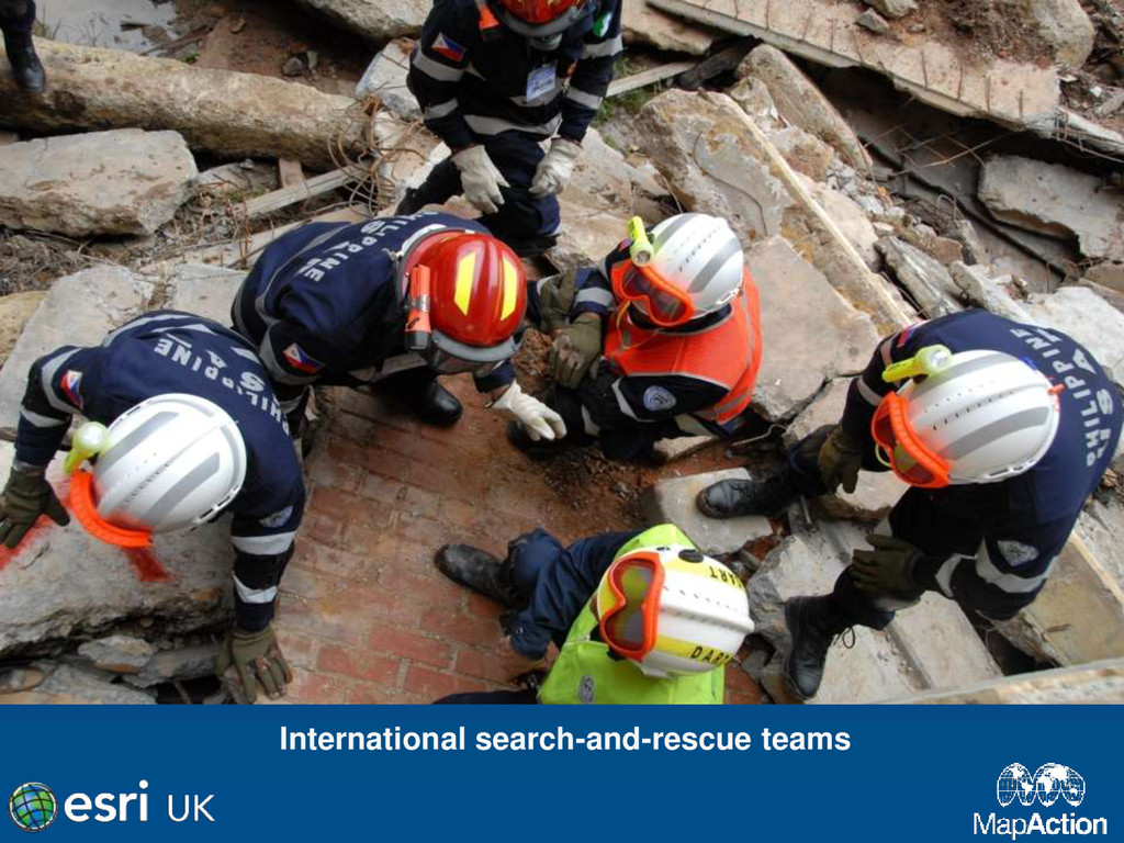
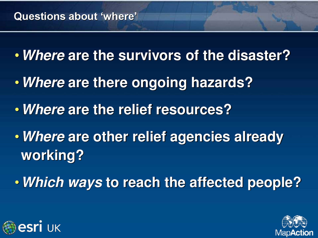
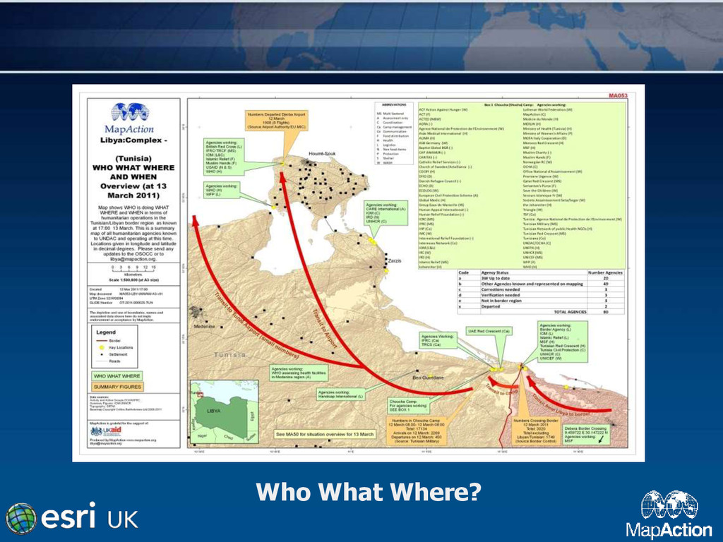
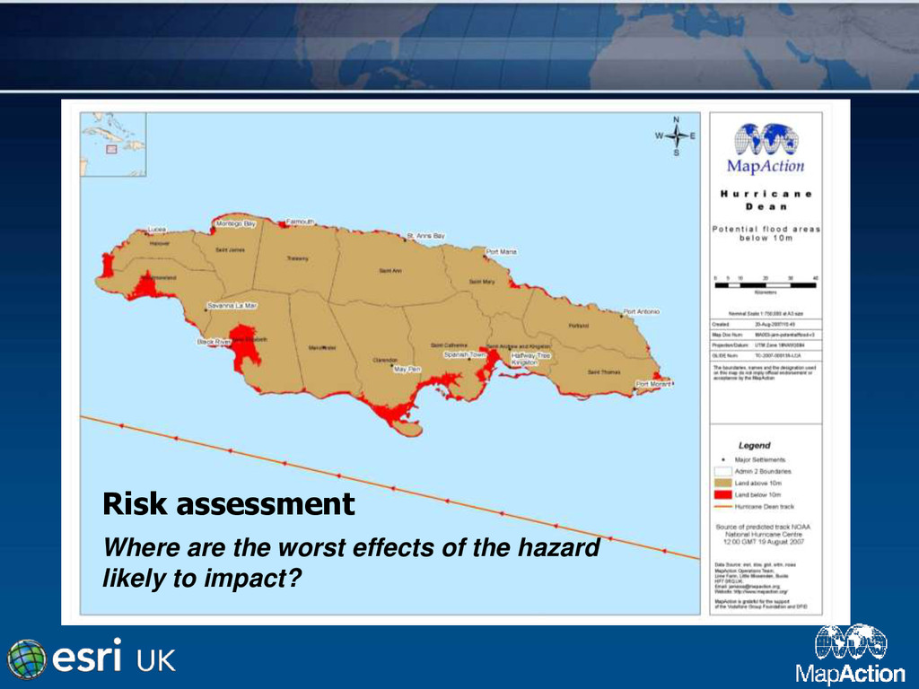
•Where are there ongoing hazards? •Where are the relief resources? •Where are other relief agencies already working? •Which ways to reach the affected people?
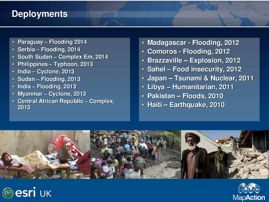
at 05:46 UTC, an earthquake of magnitude 9.0 occurred off the East coast of the Japanese Island of Honshu at the location N 38.322, E 142.369, triggering a tsunami • Team of 2 deployed • Not typical deployment • Translation of Japanese maps
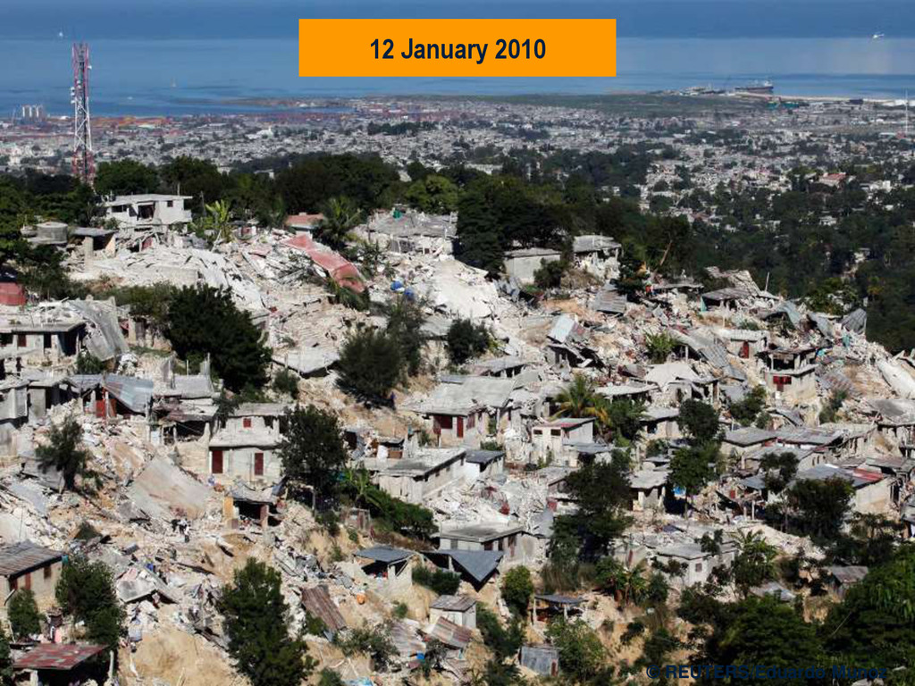
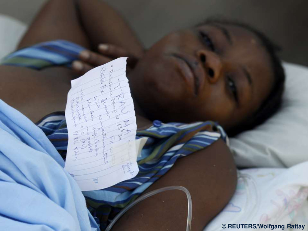
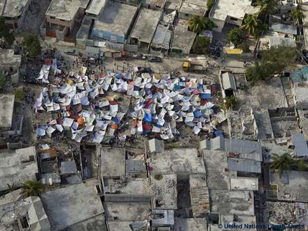
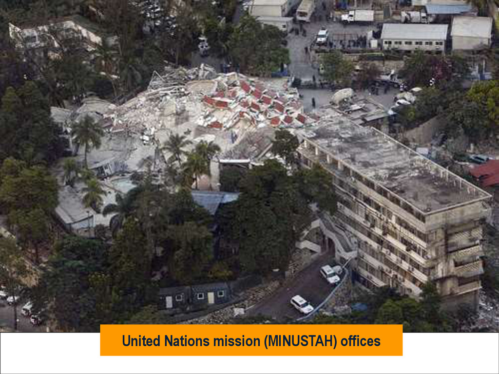
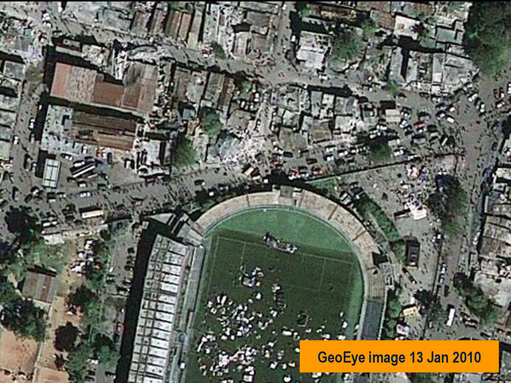
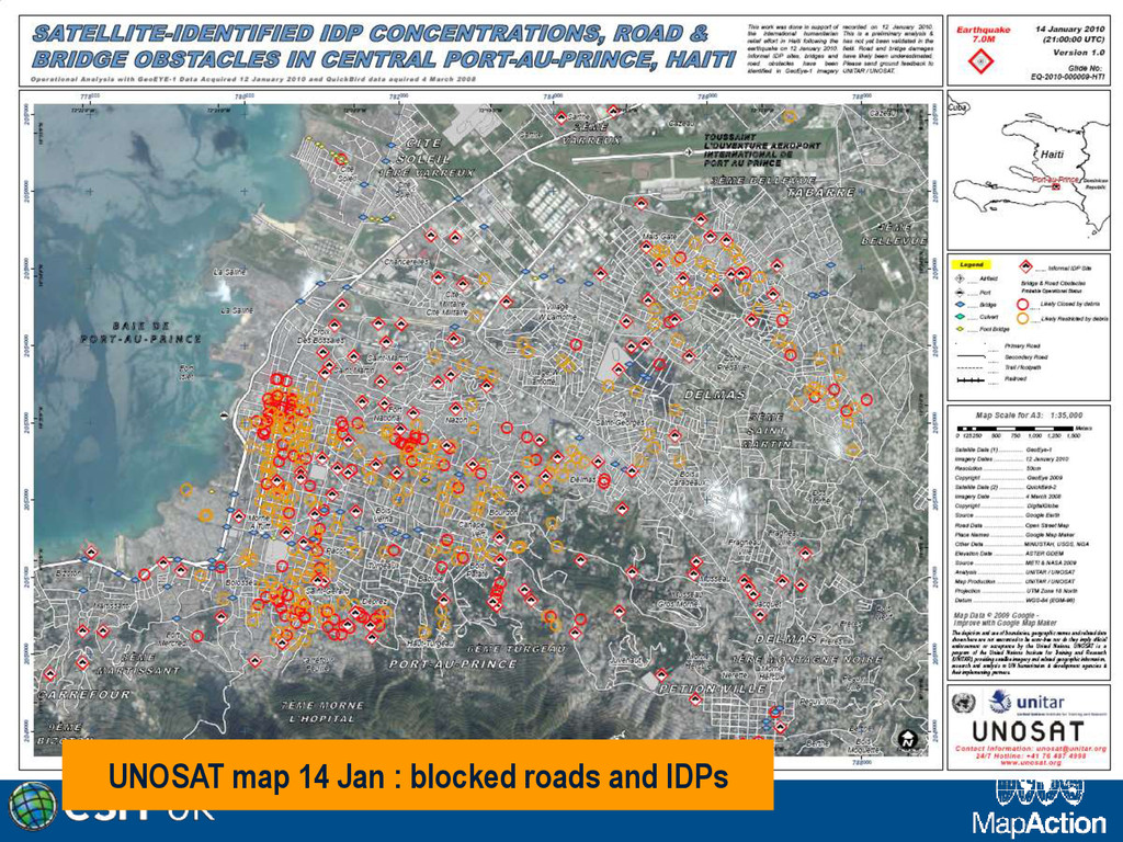
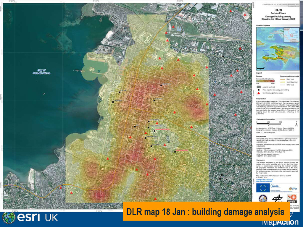
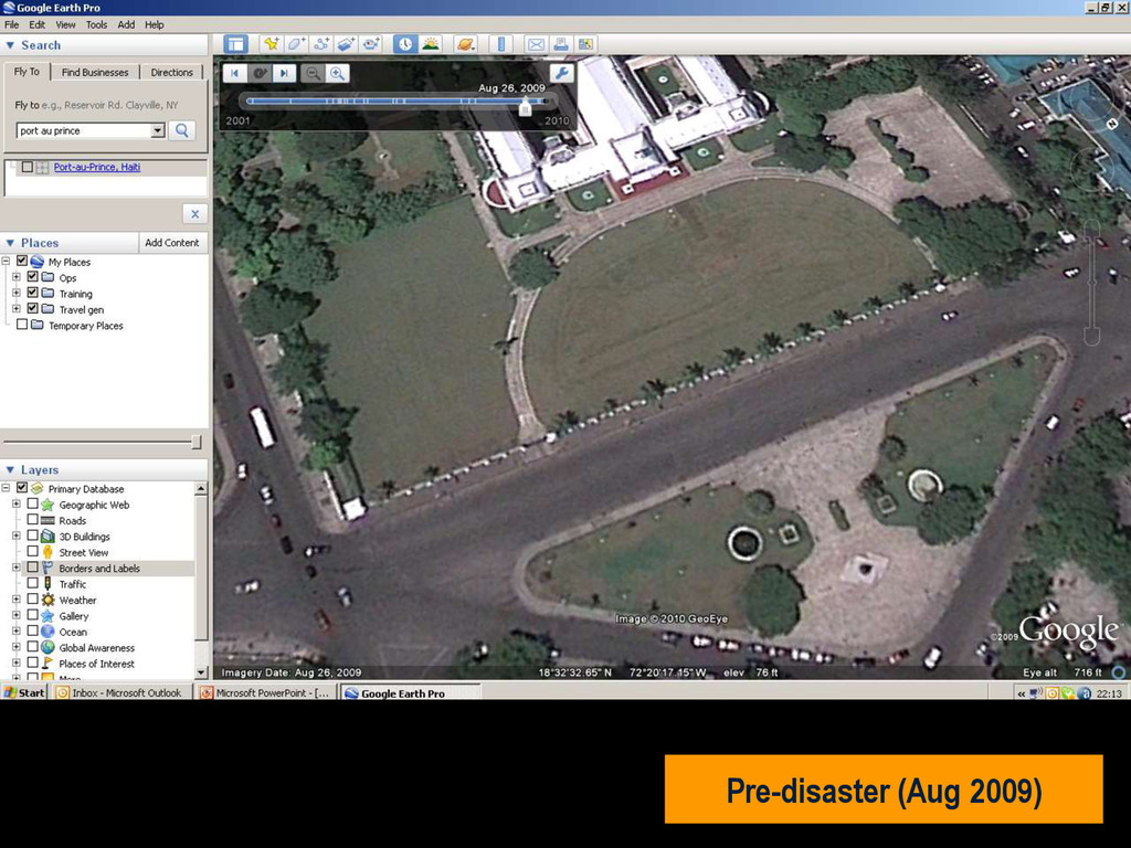
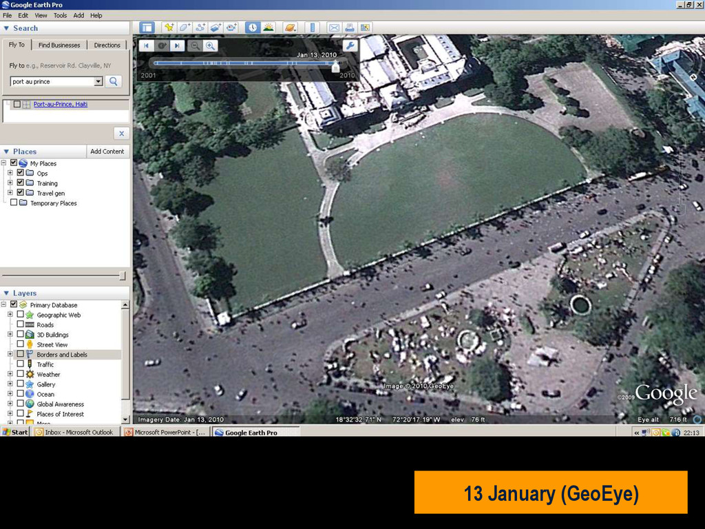
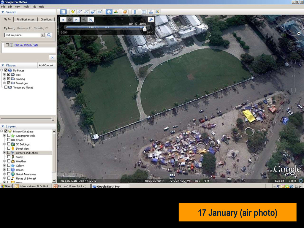
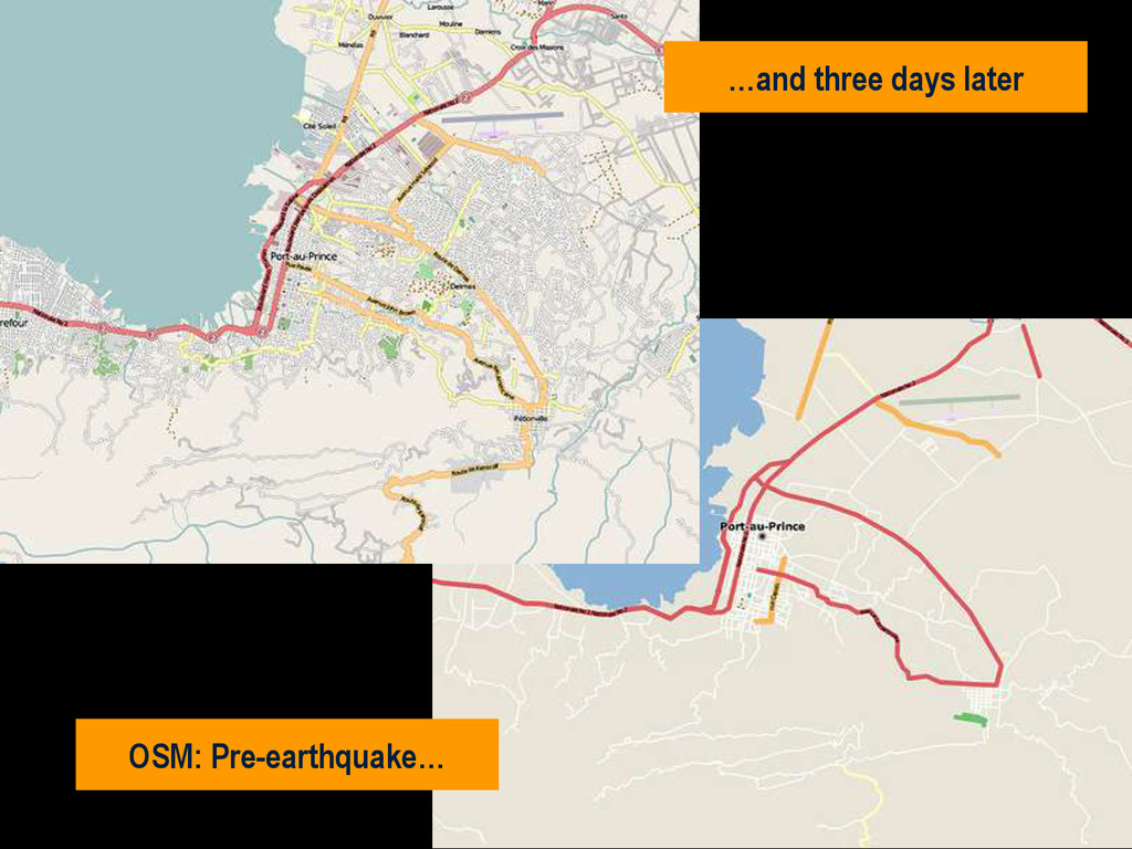
in southern Haiti, about 15km from Port au Prince (PAP) on Tuesday 12 January, at 16:53 local time (21:53 UK). • Damage assessment from the air not reliable. • Previous mission data proved invaluable. • MapAction filled in the IM gap • SAR worked 24+ hours at a stretch • Crowdsourced data very useful • Mission 4636
![Thank you! MapAction: [email protected] Esri UK: [email protected] Twitter: wai_ming_lee website:](https://files.speakerdeck.com/presentations/d7ff0140e800013142e83ac59e4418fe/slide_47.jpg)