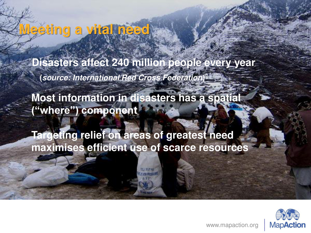
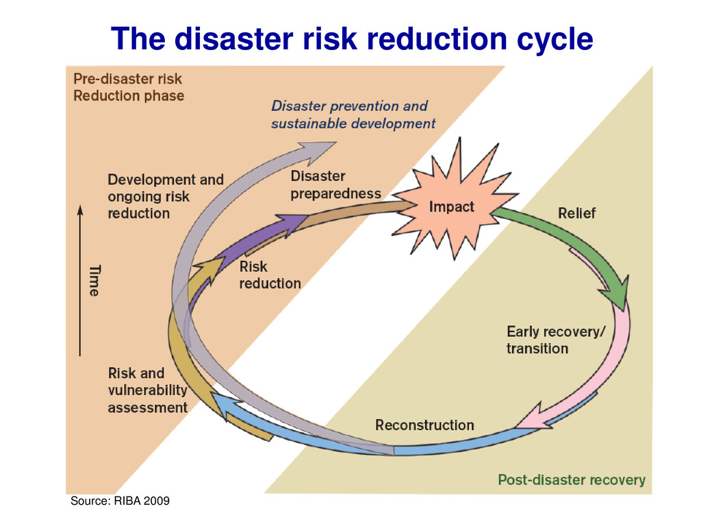
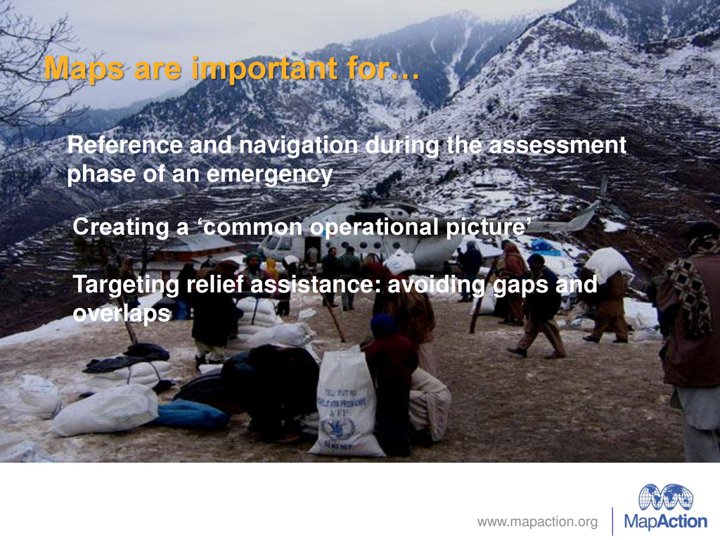
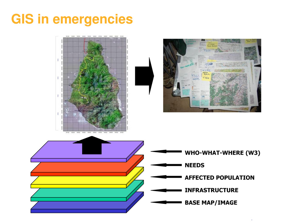
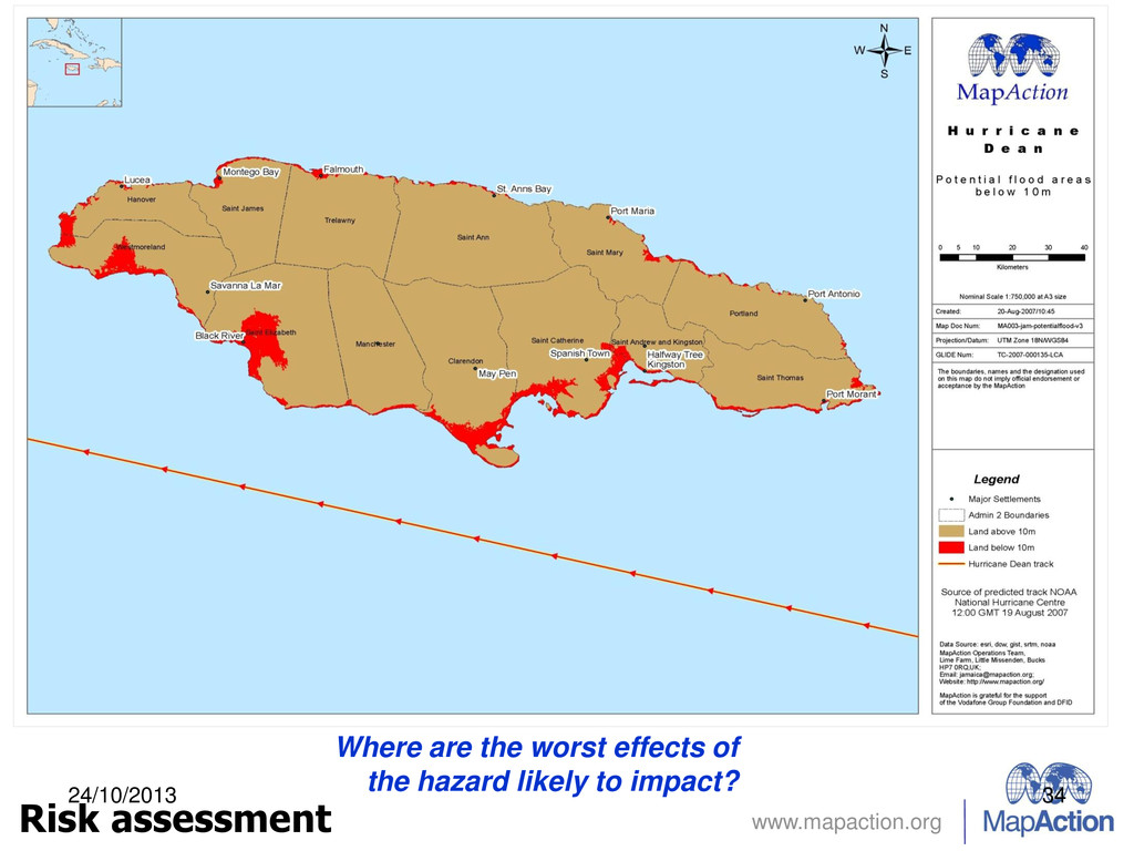
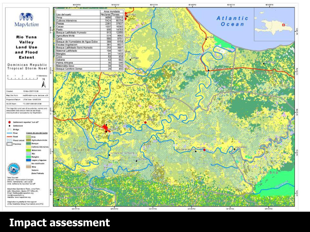
every year (source: International Red Cross Federation) Most information in disasters has a spatial (“where”) component Targeting relief on areas of greatest need maximises efficient use of scarce resources
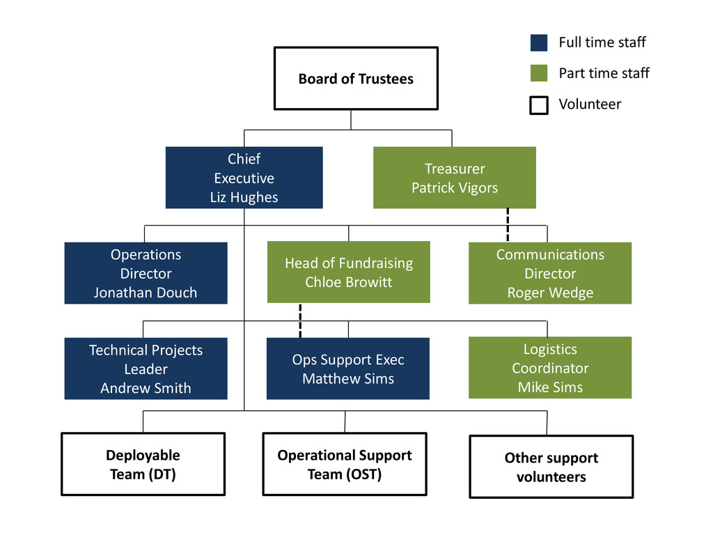
Leader Andrew Smith Communications Director Roger Wedge Logistics Coordinator Mike Sims Ops Support Exec Matthew Sims Treasurer Patrick Vigors Board of Trustees Deployable Team (DT) Operational Support Team (OST) Full time staff Part time staff Volunteer Head of Fundraising Chloe Browitt Other support volunteers
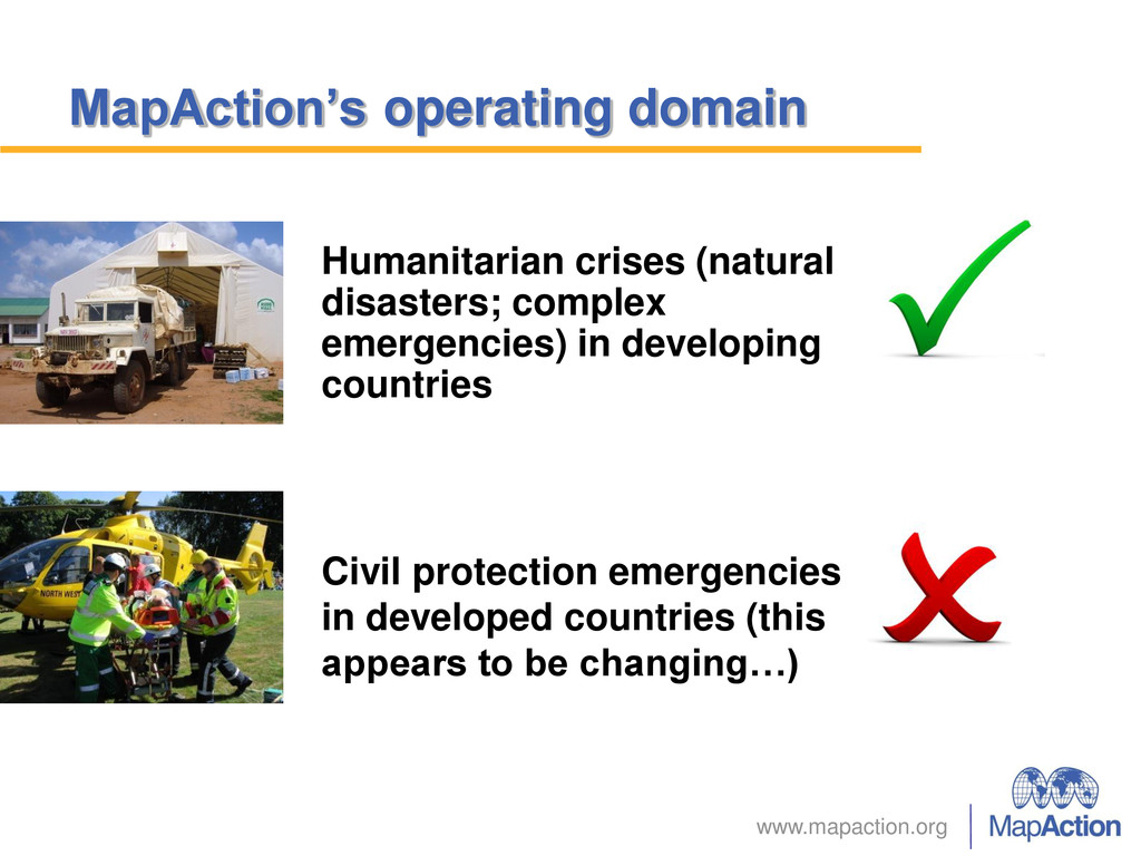
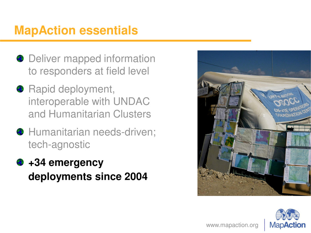
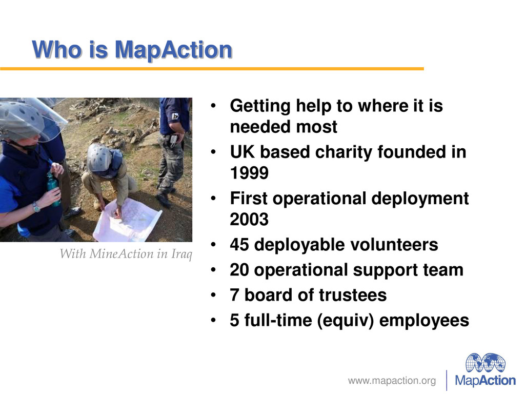
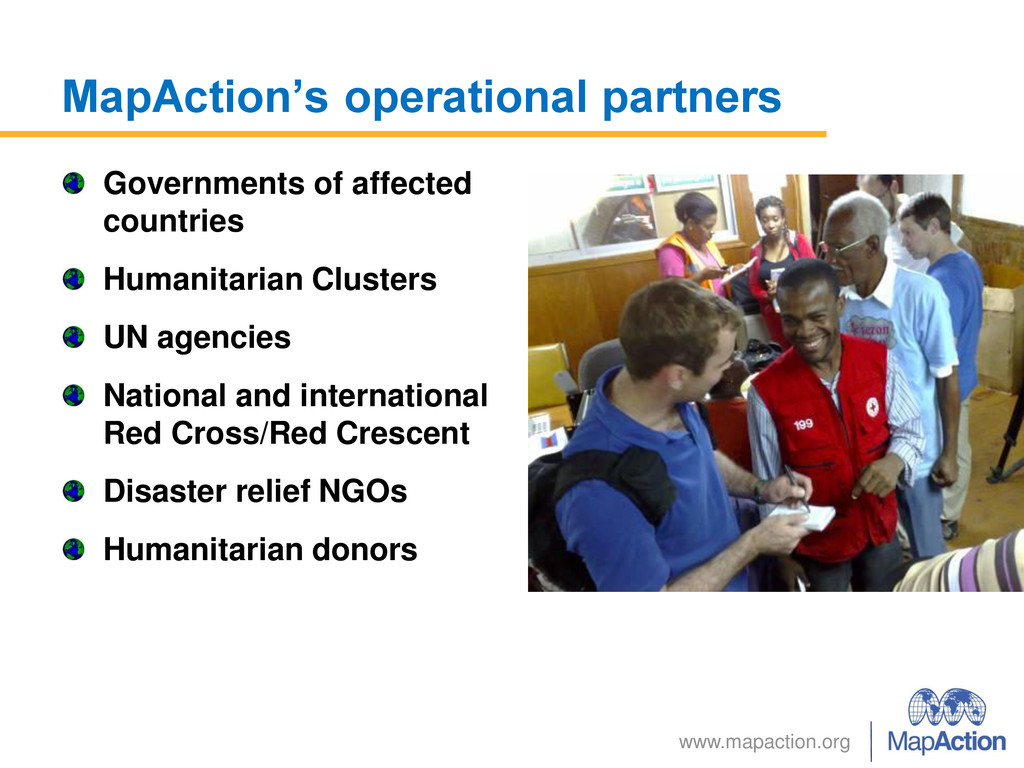
is needed most • UK based charity founded in 1999 • First operational deployment 2003 • 45 deployable volunteers • 20 operational support team • 7 board of trustees • 5 full-time (equiv) employees With MineAction in Iraq
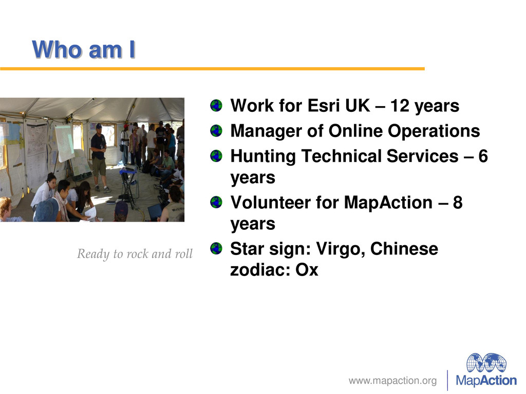
years Manager of Online Operations Hunting Technical Services – 6 years Volunteer for MapAction – 8 years Star sign: Virgo, Chinese zodiac: Ox Ready to rock and roll
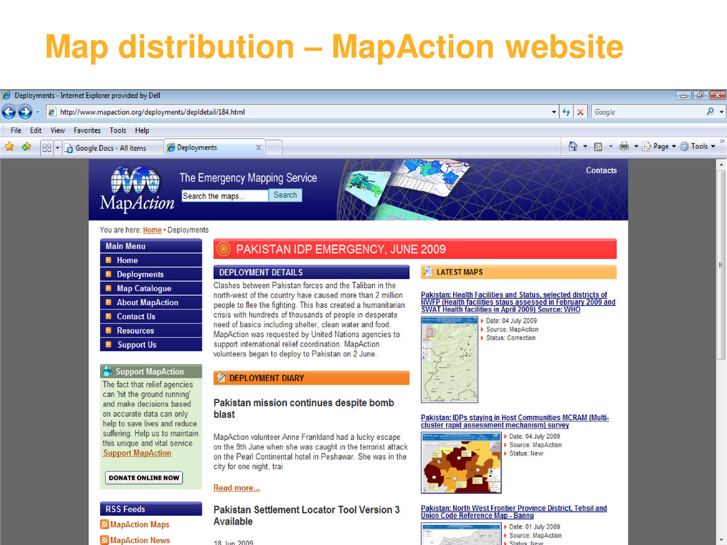
info • Assemble data layers & produce maps Maps issued to relief agencies in field Maps uploaded to online platforms Field data collection with UN assessment groups • GPS survey Mission mobilisation • Team alerts • Base map data • Equipment etc
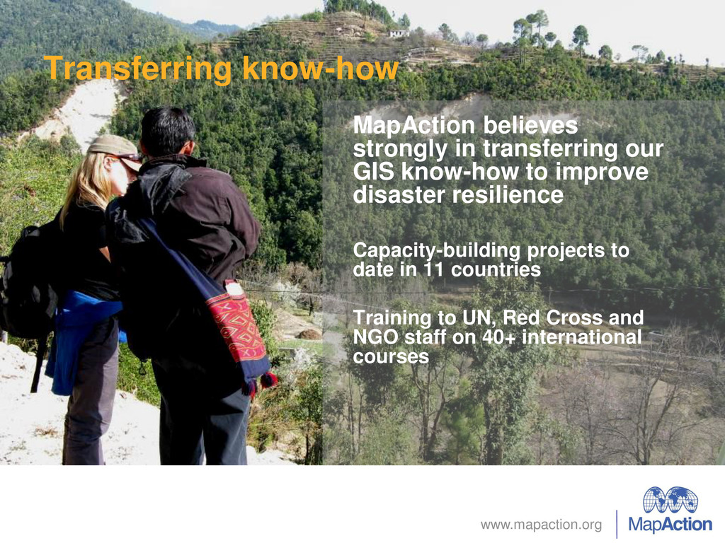
know-how to improve disaster resilience Capacity-building projects to date in 11 countries Training to UN, Red Cross and NGO staff on 40+ international courses
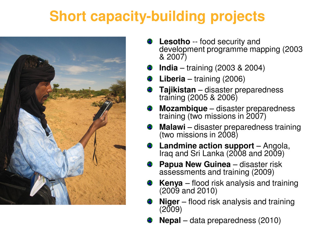
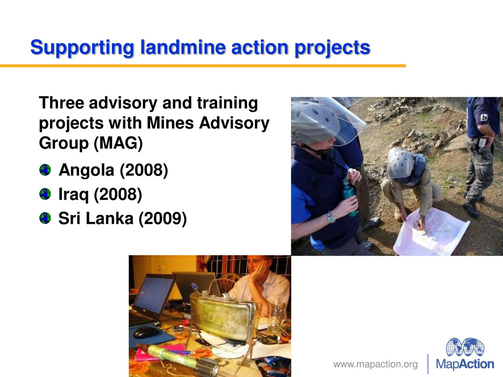
programme mapping (2003 & 2007) India – training (2003 & 2004) Liberia – training (2006) Tajikistan – disaster preparedness training (2005 & 2006) Mozambique – disaster preparedness training (two missions in 2007) Malawi – disaster preparedness training (two missions in 2008) Landmine action support – Angola, Iraq and Sri Lanka (2008 and 2009) Papua New Guinea – disaster risk assessments and training (2009) Kenya – flood risk analysis and training (2009 and 2010) Niger – flood risk analysis and training (2009) Nepal – data preparedness (2010)
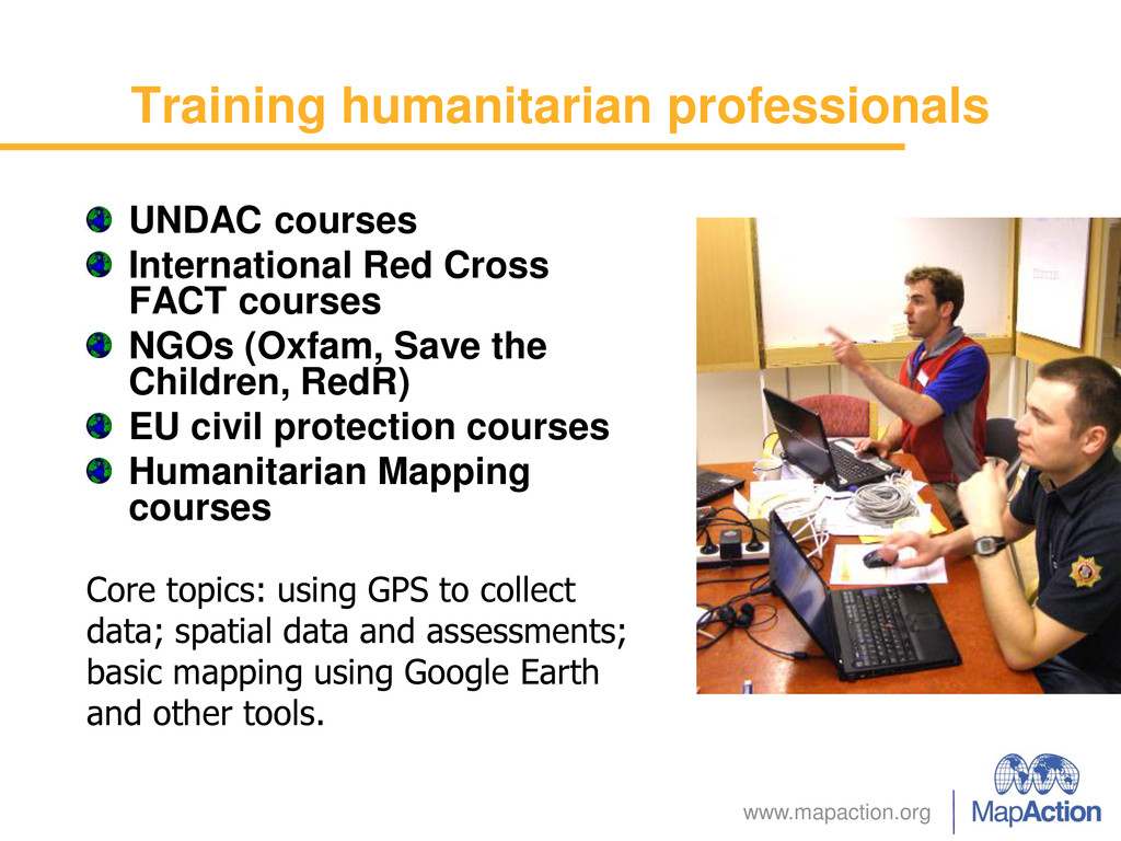
courses NGOs (Oxfam, Save the Children, RedR) EU civil protection courses Humanitarian Mapping courses Core topics: using GPS to collect data; spatial data and assessments; basic mapping using Google Earth and other tools.
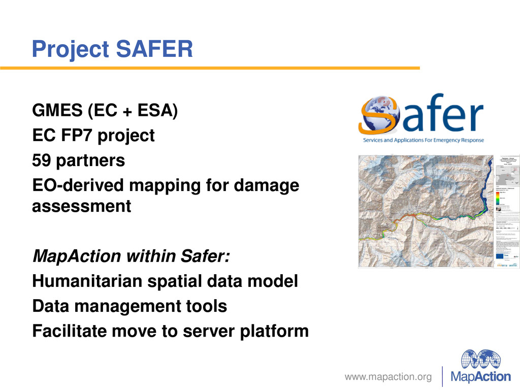
59 partners EO-derived mapping for damage assessment MapAction within Safer: Humanitarian spatial data model Data management tools Facilitate move to server platform
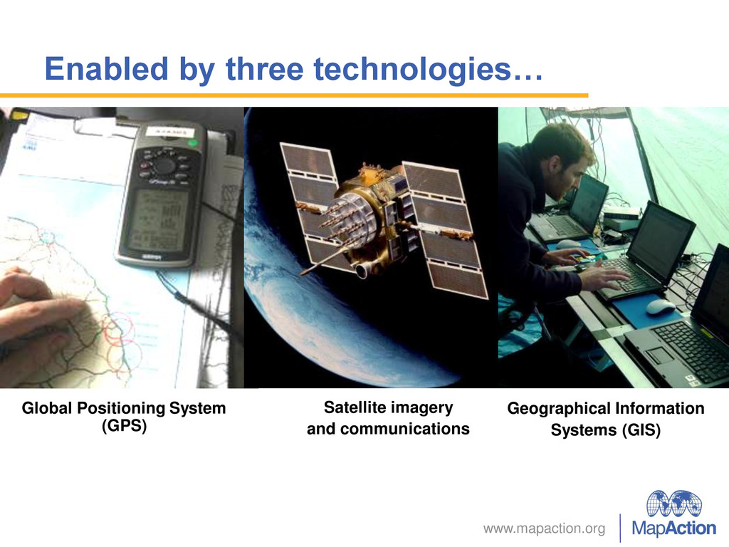
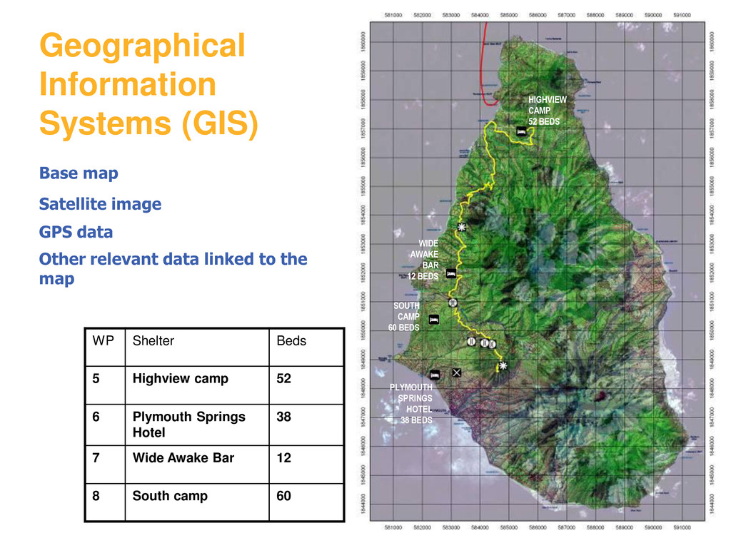
Springs Hotel 38 7 Wide Awake Bar 12 8 South camp 60 SOUTH CAMP 60 BEDS PLYMOUTH SPRINGS HOTEL 38 BEDS WIDE AWAKE BAR 12 BEDS HIGHVIEW CAMP 52 BEDS Geographical Information Systems (GIS) Base map Satellite image GPS data Other relevant data linked to the map
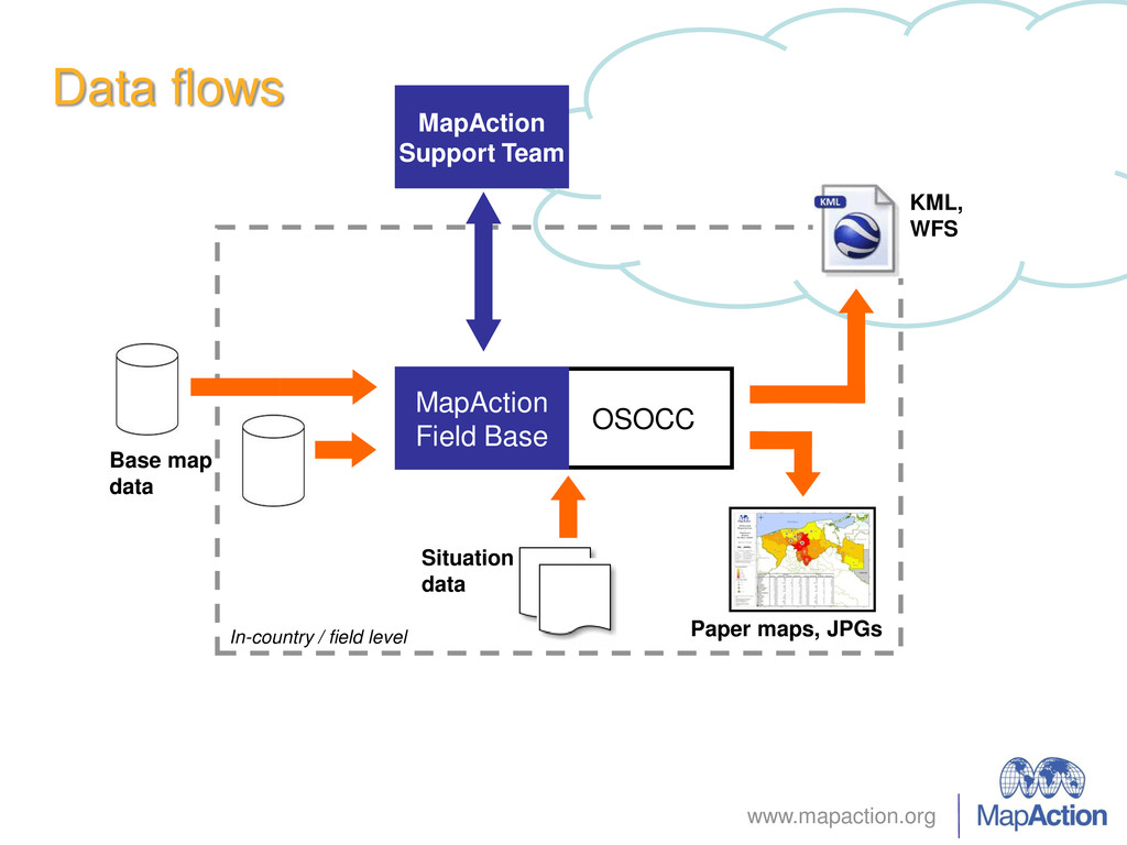
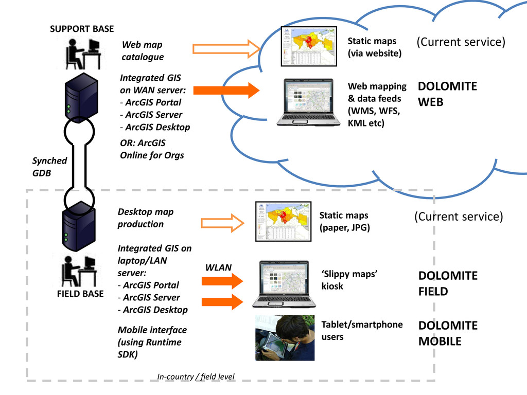
(via website) Synched GDB ‘Slippy maps’ kiosk WLAN Web mapping & data feeds (WMS, WFS, KML etc) SUPPORT BASE FIELD BASE Integrated GIS on laptop/LAN server: - ArcGIS Portal - ArcGIS Server - ArcGIS Desktop Mobile interface (using Runtime SDK) Tablet/smartphone users Integrated GIS on WAN server: - ArcGIS Portal - ArcGIS Server - ArcGIS Desktop OR: ArcGIS Online for Orgs Web map catalogue DOLOMITE WEB (Current service) Desktop map production (Current service) DOLOMITE FIELD DOLOMITE MOBILE
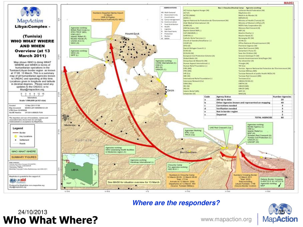
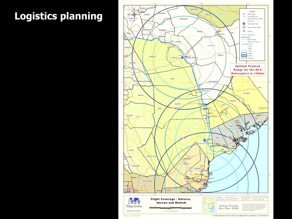
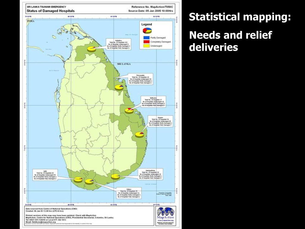
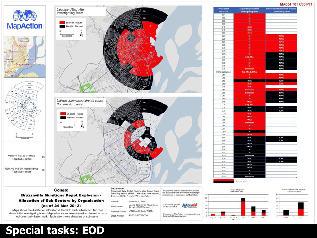
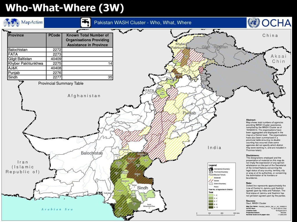
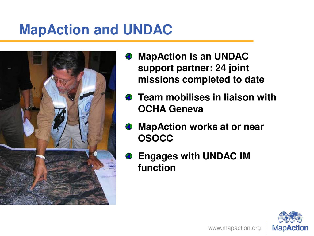
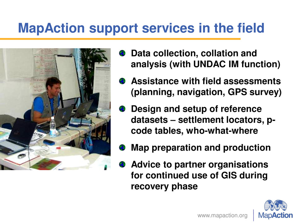
and analysis (with UNDAC IM function) Assistance with field assessments (planning, navigation, GPS survey) Design and setup of reference datasets – settlement locators, p- code tables, who-what-where Map preparation and production Advice to partner organisations for continued use of GIS during recovery phase
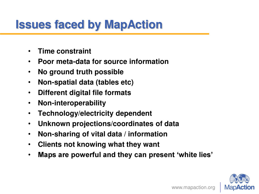
meta-data for source information • No ground truth possible • Non-spatial data (tables etc) • Different digital file formats • Non-interoperability • Technology/electricity dependent • Unknown projections/coordinates of data • Non-sharing of vital data / information • Clients not knowing what they want • Maps are powerful and they can present ‘white lies’
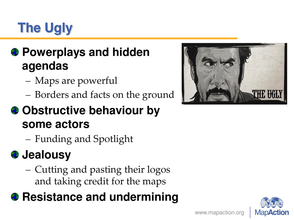
powerful – Borders and facts on the ground Obstructive behaviour by some actors – Funding and Spotlight Jealousy – Cutting and pasting their logos and taking credit for the maps Resistance and undermining
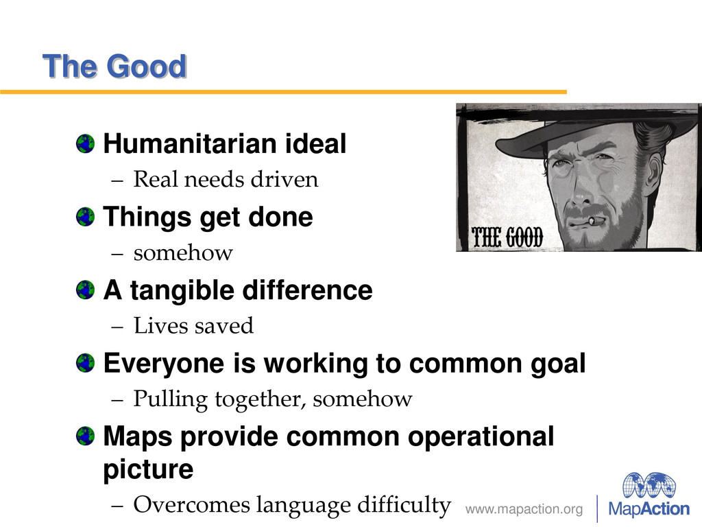
get done – somehow A tangible difference – Lives saved Everyone is working to common goal – Pulling together, somehow Maps provide common operational picture – Overcomes language difficulty
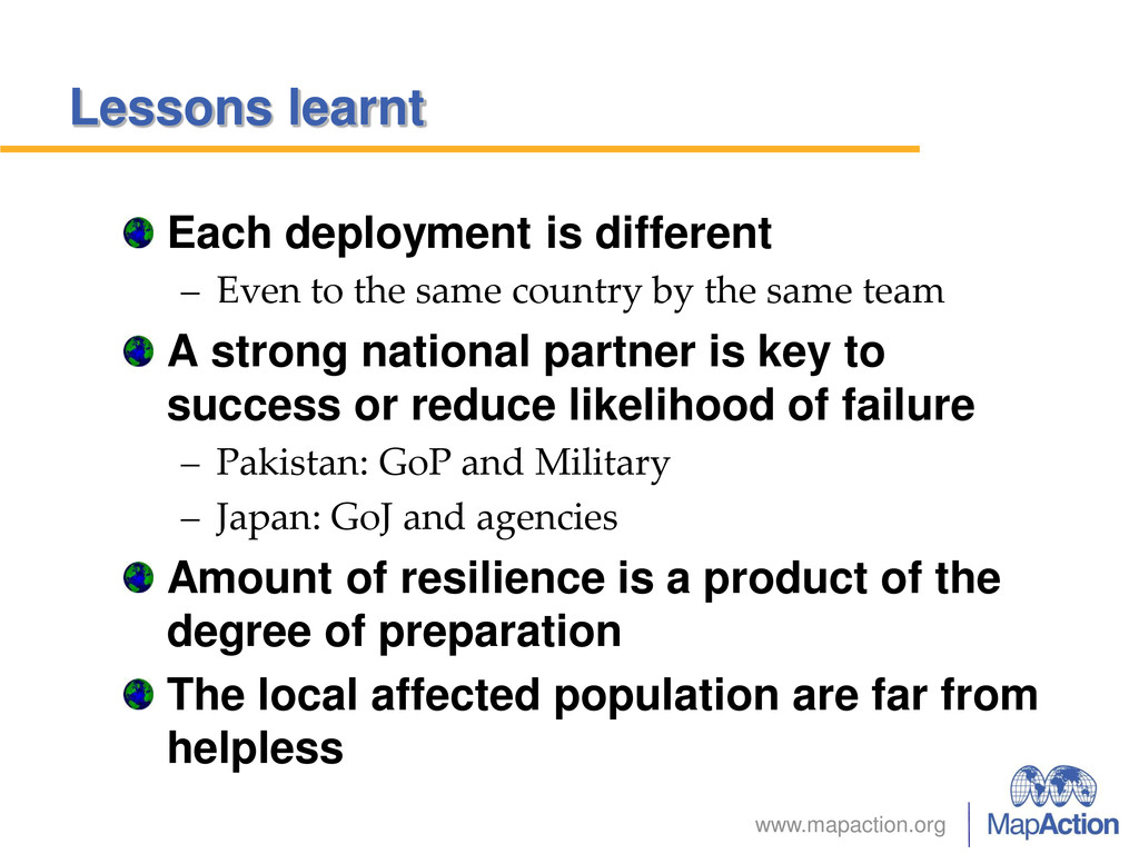
the same country by the same team A strong national partner is key to success or reduce likelihood of failure – Pakistan: GoP and Military – Japan: GoJ and agencies Amount of resilience is a product of the degree of preparation The local affected population are far from helpless
in the integration of international actors – Regular conferences, training, joint exercises and communications Agreeing on some agreed standard in data, processes, and equipment.
– Obvious presence Environment potentially hostile – Security a major concern Awareness of how NGOs are perceived Data and maps very powerful – With political ramifications due to misuse Isolated – no wandering around – Guards required elsewhere
of response blunted by weak governance and nearly non-existing civic structures Country suffering multiple and repeating humanitarian events (floods, earthquakes and hurricanes) National mapping partner rendered ineffective. UN organisation decapitated
Once it got going – Efficient and in control Clear lead was the LEMA or NEMA (GoJ) – All non-Japanese agencies in supporting role – Centralised coordinating body Digital data was of excellent quality, accessible, fit for use (i.e. scale and cartography) and free. – Though everything in Japanese! – MapAction translation services
as AOI was localised – Unless there were more explosions Rehearsal, training and organisation very evident – Responding agencies all competent, informed and aware of overall objectives. – High degree of coordination due to frequent training or similar training amongst agencies Up-to-date equipment by field teams
use it. Know your maps (or products). Know your audience / customer. Don’t over-plan. KISS. Train with others humanitarians, interoperability. Have confidence in your own systems. Trust your people. Be prepared to be unprepared. Don’t over-equip/over-resource – KISS. Clear objectives, strategies and exit plan. Identify leaders (or take on leadership). Get information out to people – asap.
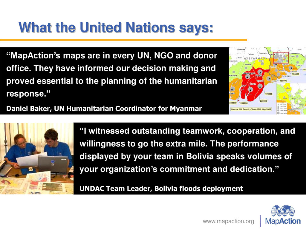
cooperation, and willingness to go the extra mile. The performance displayed by your team in Bolivia speaks volumes of your organization’s commitment and dedication.” UNDAC Team Leader, Bolivia floods deployment “MapAction’s maps are in every UN, NGO and donor office. They have informed our decision making and proved essential to the planning of the humanitarian response.” Daniel Baker, UN Humanitarian Coordinator for Myanmar
![www.mapaction.org Questions and answers? [email protected] [email protected]](https://files.speakerdeck.com/presentations/147c07201eeb01311b6276bb6cd28f0f/slide_78.jpg)