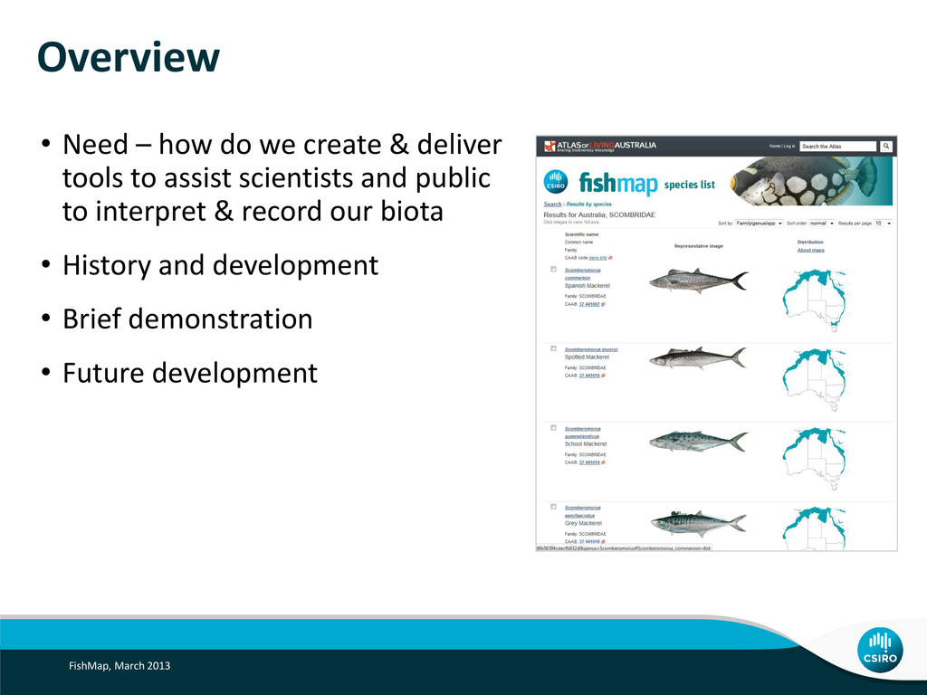
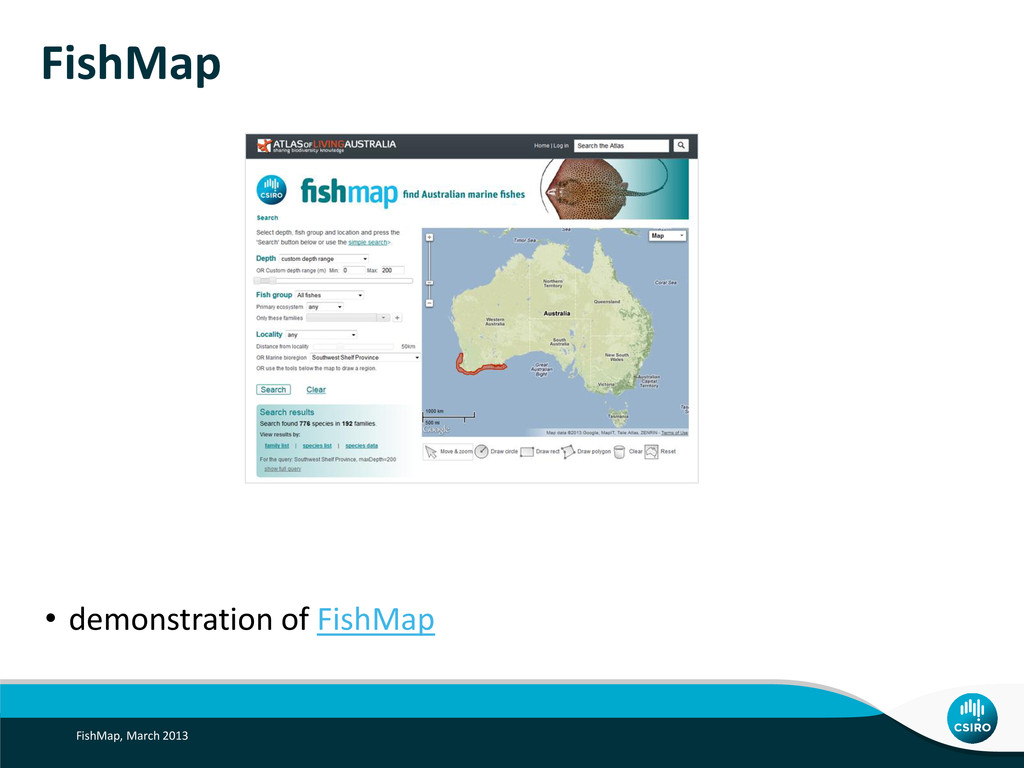
tools to assist scientists and public to interpret & record our biota • History and development • Brief demonstration • Future development FishMap, March 2013
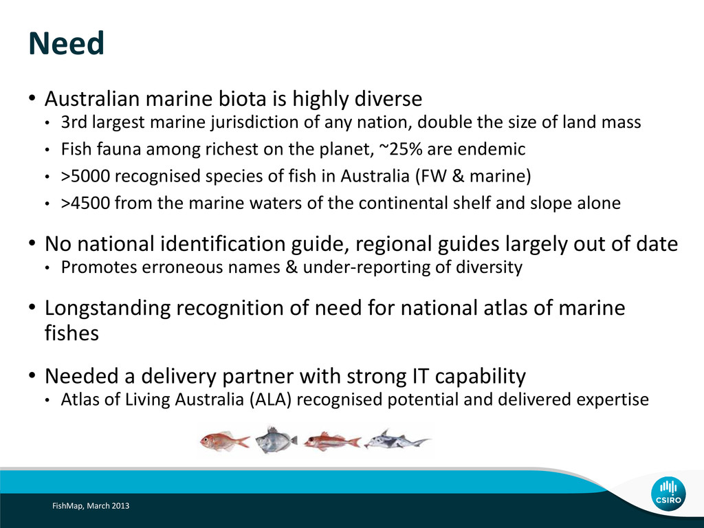
largest marine jurisdiction of any nation, double the size of land mass • Fish fauna among richest on the planet, ~25% are endemic • >5000 recognised species of fish in Australia (FW & marine) • >4500 from the marine waters of the continental shelf and slope alone • No national identification guide, regional guides largely out of date • Promotes erroneous names & under-reporting of diversity • Longstanding recognition of need for national atlas of marine fishes • Needed a delivery partner with strong IT capability • Atlas of Living Australia (ALA) recognised potential and delivered expertise FishMap, March 2013
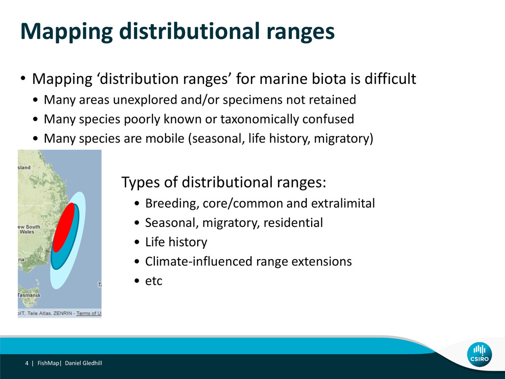
is difficult • Many areas unexplored and/or specimens not retained • Many species poorly known or taxonomically confused • Many species are mobile (seasonal, life history, migratory) FishMap| Daniel Gledhill 4 | Types of distributional ranges: • Breeding, core/common and extralimital • Seasonal, migratory, residential • Life history • Climate-influenced range extensions • etc
Specimens dating back 200+ years • Many thousands of specimens • Some areas/species well represented • But • Many false absences – not surveyed/specimen not retained • Many false records – wrong/out of data identification, taxonomic complexity FishMap| Daniel Gledhill 5 |
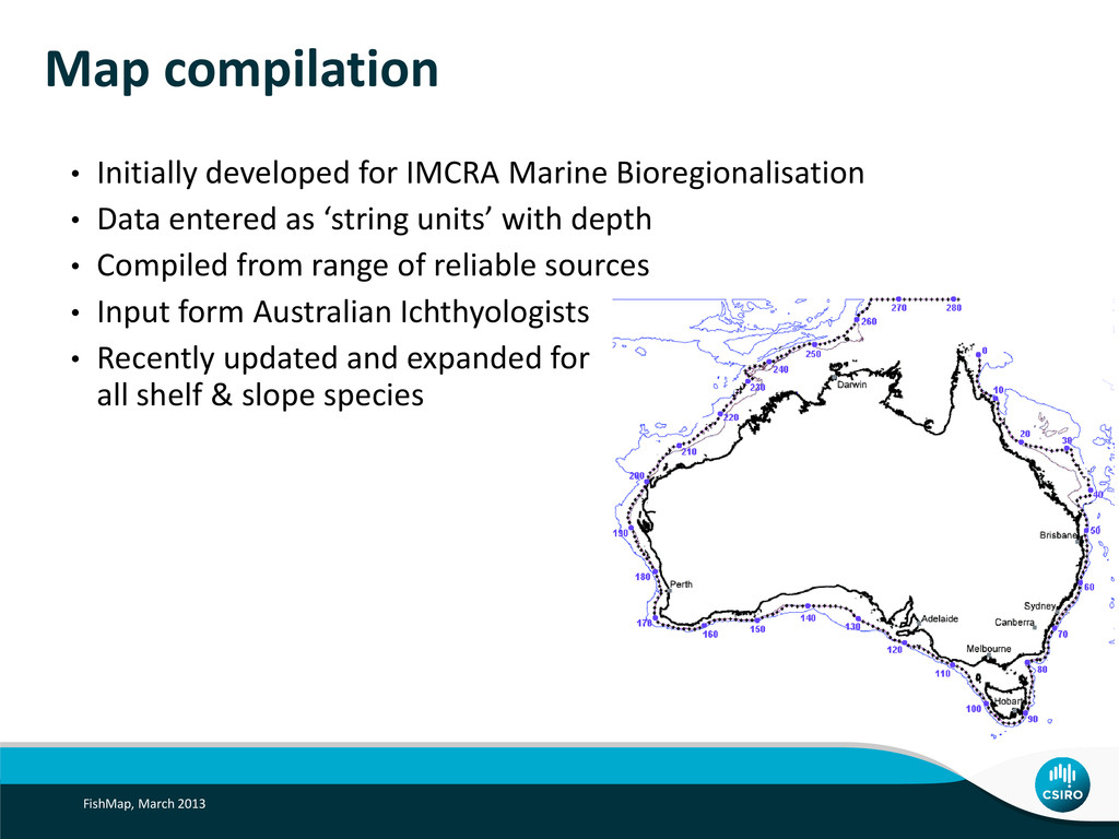
Marine Bioregionalisation • Data entered as ‘string units’ with depth • Compiled from range of reliable sources • Input form Australian Ichthyologists • Recently updated and expanded for all shelf & slope species
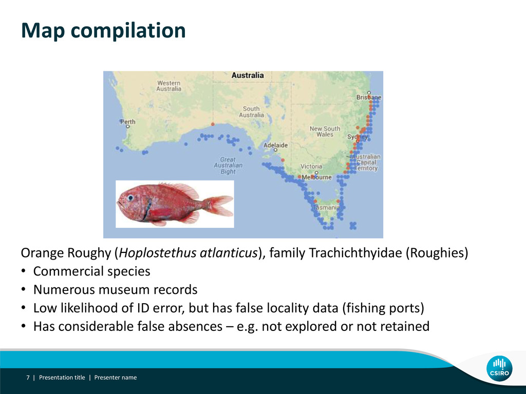
• Numerous museum records • Low likelihood of ID error, but has false locality data (fishing ports) • Has considerable false absences – e.g. not explored or not retained Presentation title | Presenter name Map compilation 7 |
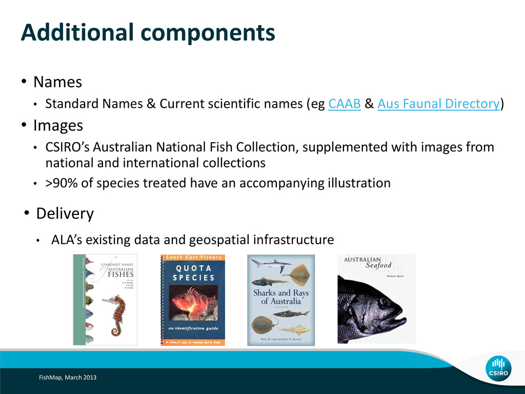
names (eg CAAB & Aus Faunal Directory) • Images • CSIRO’s Australian National Fish Collection, supplemented with images from national and international collections • >90% of species treated have an accompanying illustration • Delivery • ALA’s existing data and geospatial infrastructure FishMap, March 2013
maintained through existing CAAB support (CMAR), and ALA • Improvements, extension – driven by users • Likely updates • Maximum length for each species • FAQ • Easier printing & download • TEPS, MPA’s, state boundaries • Flag recreational, commercial and bycatch species • More ambitious extension requires partner support • Downloadable app? • Additional ID tools (body shape, colour)? • CC induced range extensions? FishMap, March 2013
t 03 6232 5222 e [email protected] w www.csiro.au/ WEALTH FROM OCEANS NATIONAL RESEARCH FLAGSHIP Thanks to dozens of people who have contributed to the project, including: The ALA Team, particularly Mark Woolston, Dave Martin, Peter Doherty, Chris Flemming, Miles Nicholls, [Peter Neville and Donald Hobern] From CSIRO Marine and Atmospheric Research: Peter Last, William White, Tony Rees, John Pogonoski, Carlie Devine, Louise Conboy, Alastair Graham Numerous fisho’s nationally, including those from our state museums and fisheries departments