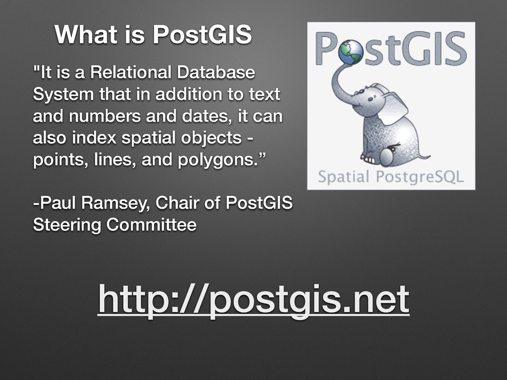
in addition to text and numbers and dates, it can also index spatial objects - points, lines, and polygons.” ! -Paul Ramsey, Chair of PostGIS Steering Committee http://postgis.net
April 19, 2005 • PostgreSQL: Est. May 1, 1995 • Very well tested, massively used in production • Industry Standard RDBMS • An established, performant base system is a great thing to have underneath progressive, bleeding edge software stacks.
KML do not provide indexing - the whole file must be read to find something. • Shapefiles do provide some indexing, but do not allow more than one simultaneous user. It also has a vast list of limitations - we won’t go into that. • An Open Format • Good place for a cohesive, organized, single store Concurrency! Queries!
group nearby objects and represent them with their minimum bounding rectangle in the next higher level of the tree; the "R" in R-tree is for rectangle.”
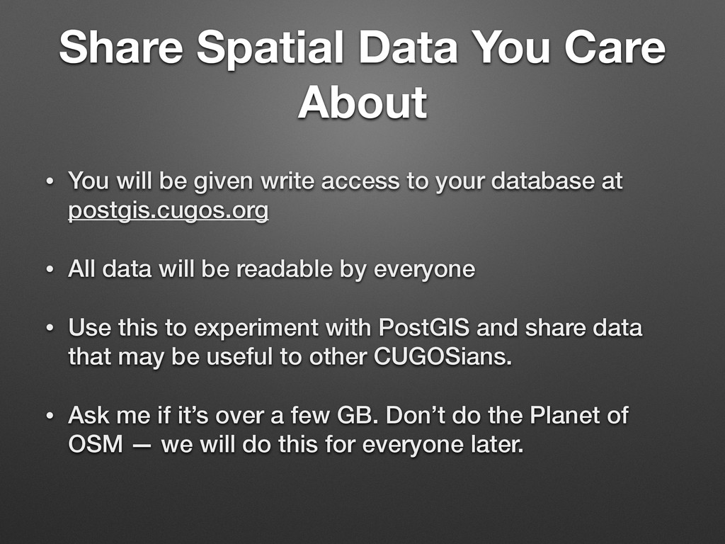
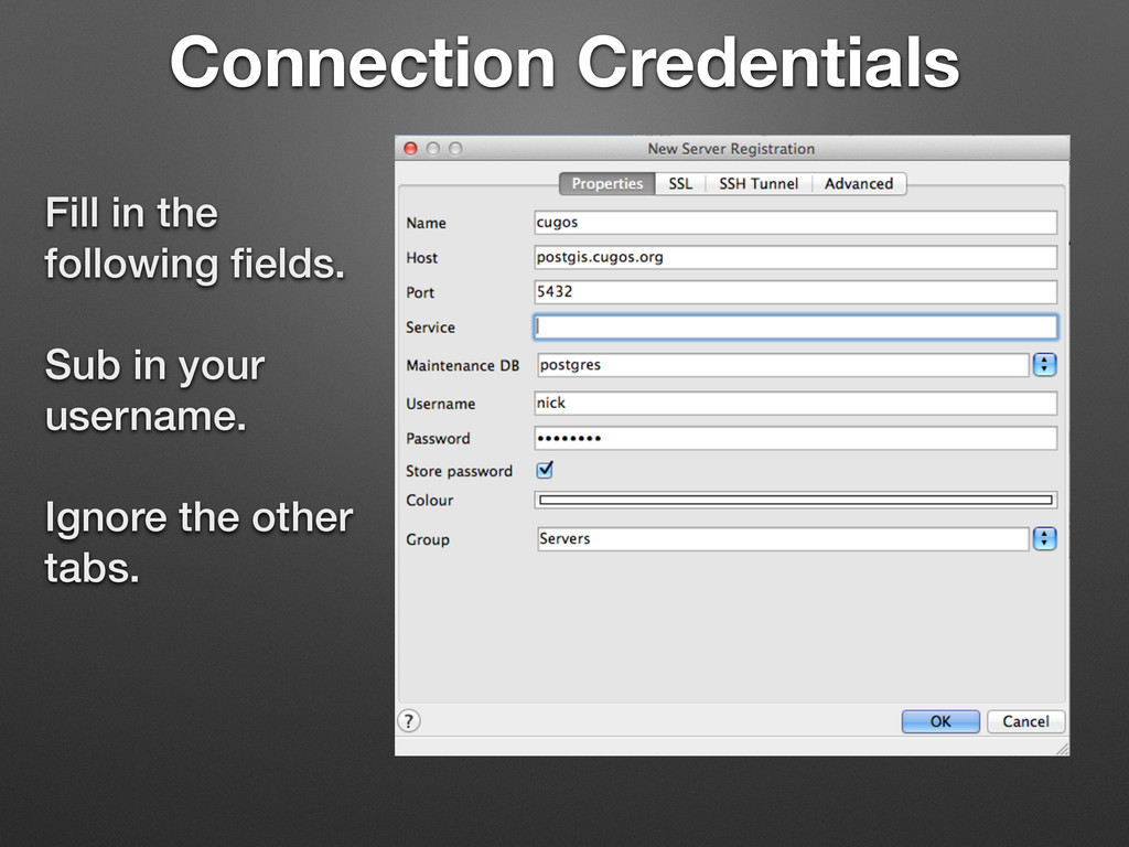
given write access to your database at postgis.cugos.org • All data will be readable by everyone • Use this to experiment with PostGIS and share data that may be useful to other CUGOSians. • Ask me if it’s over a few GB. Don’t do the Planet of OSM — we will do this for everyone later.
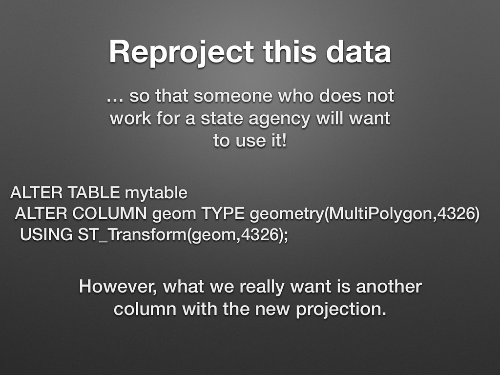
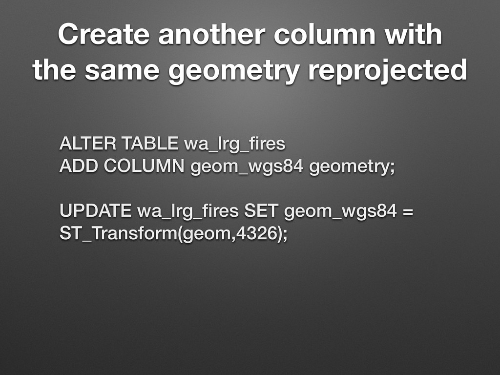
work for a state agency will want to use it! ALTER TABLE mytable ALTER COLUMN geom TYPE geometry(MultiPolygon,4326) USING ST_Transform(geom,4326); However, what we really want is another column with the new projection.
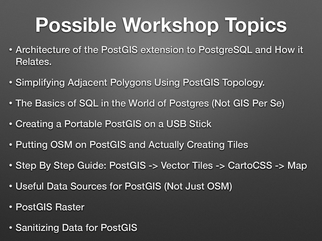
PostgreSQL and How it Relates. • Simplifying Adjacent Polygons Using PostGIS Topology. • The Basics of SQL in the World of Postgres (Not GIS Per Se) • Creating a Portable PostGIS on a USB Stick • Putting OSM on PostGIS and Actually Creating Tiles • Step By Step Guide: PostGIS -> Vector Tiles -> CartoCSS -> Map • Useful Data Sources for PostGIS (Not Just OSM) • PostGIS Raster • Sanitizing Data for PostGIS
![Email me: ! [email protected] Access](https://files.speakerdeck.com/presentations/a83af970c3f90131e5fa7687a44d85d2/slide_14.jpg)