Upgrade to Pro — share decks privately, control downloads, hide ads and more …

Cloud Computing & Web Processing Services

Cloud Computing & Web Processing Services

Toulouse, CNES - 2013.10.01
RTSTechniques de l'Information et de la Communication

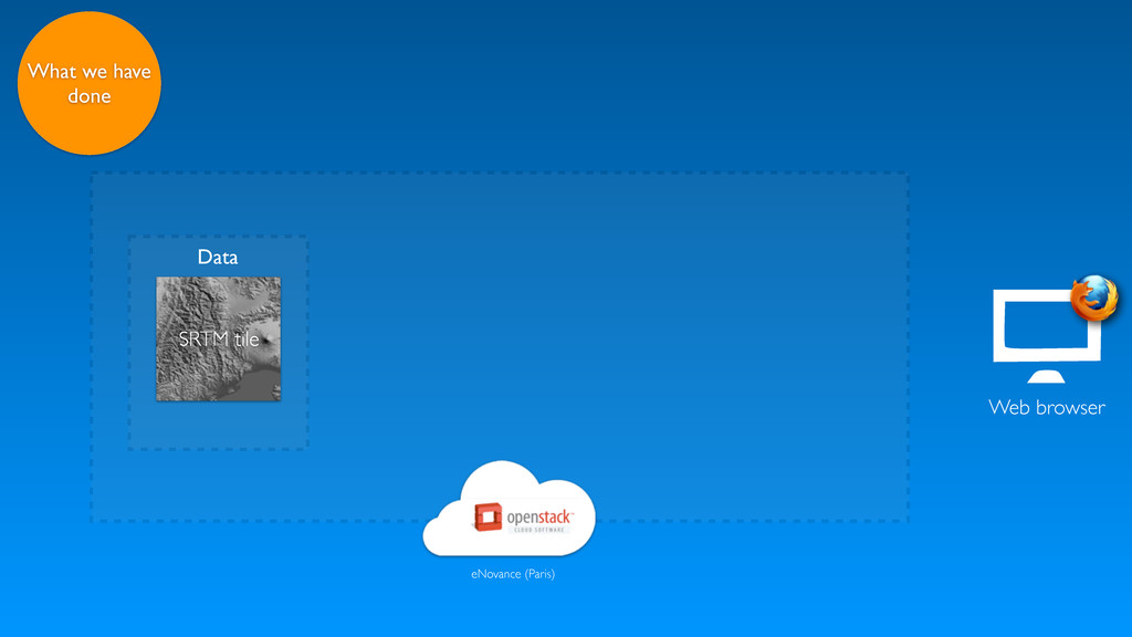
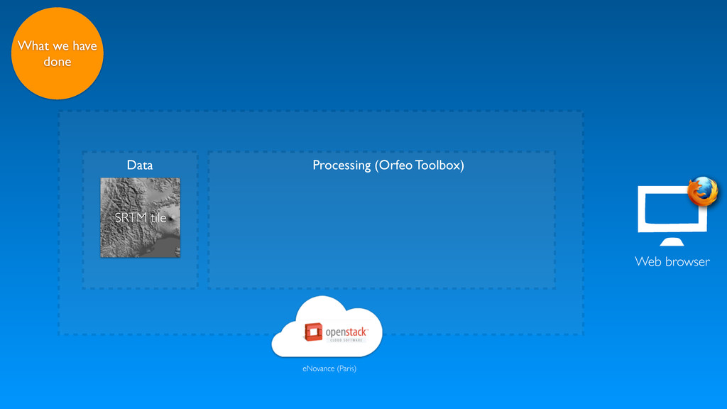
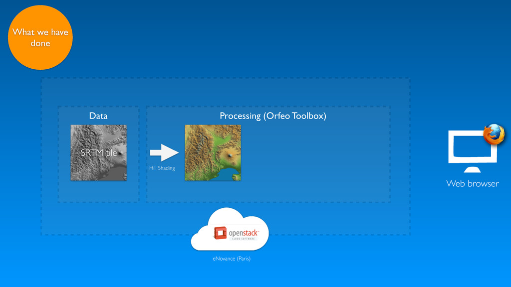
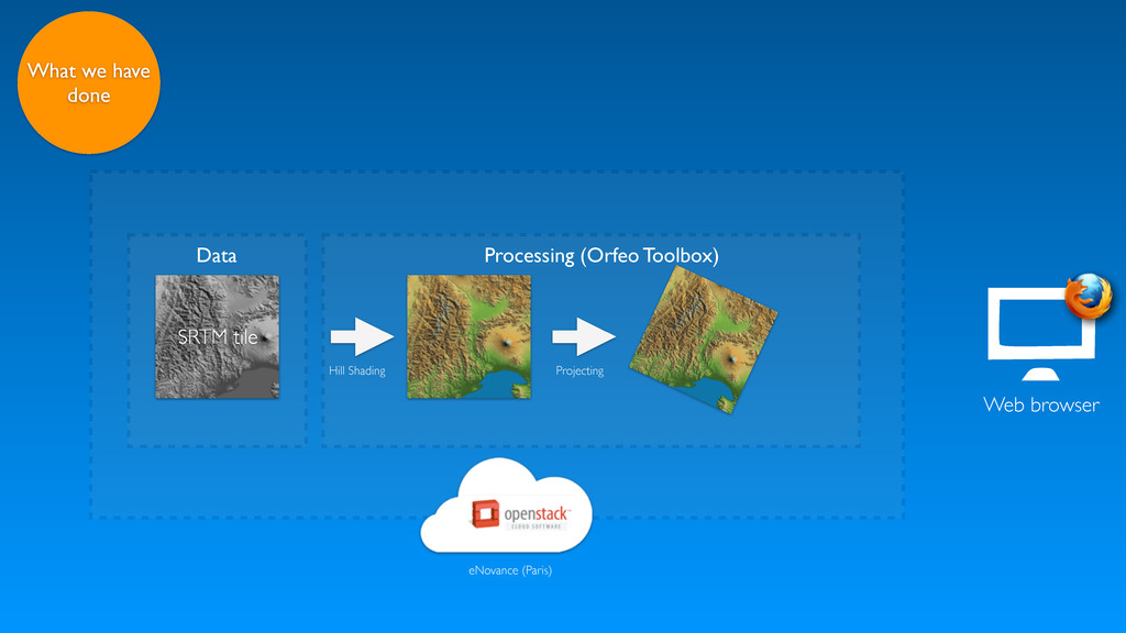
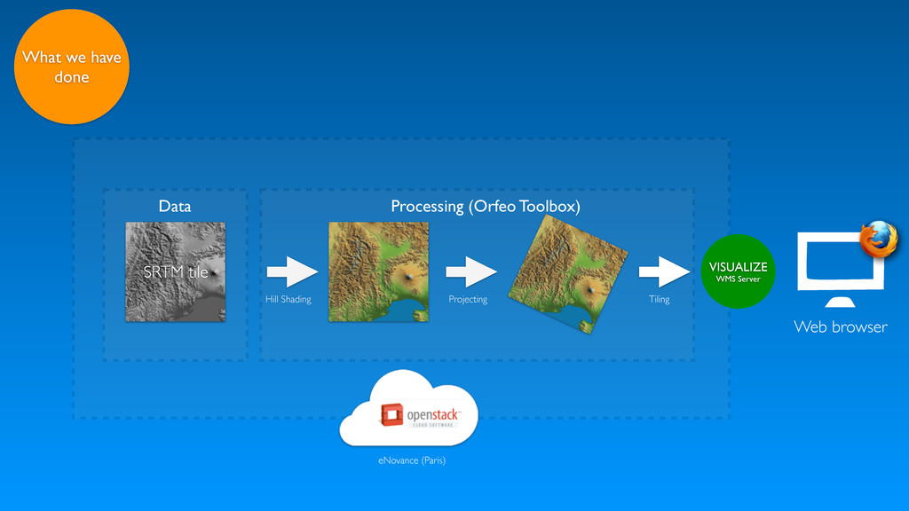
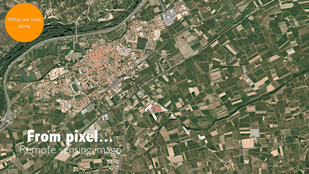
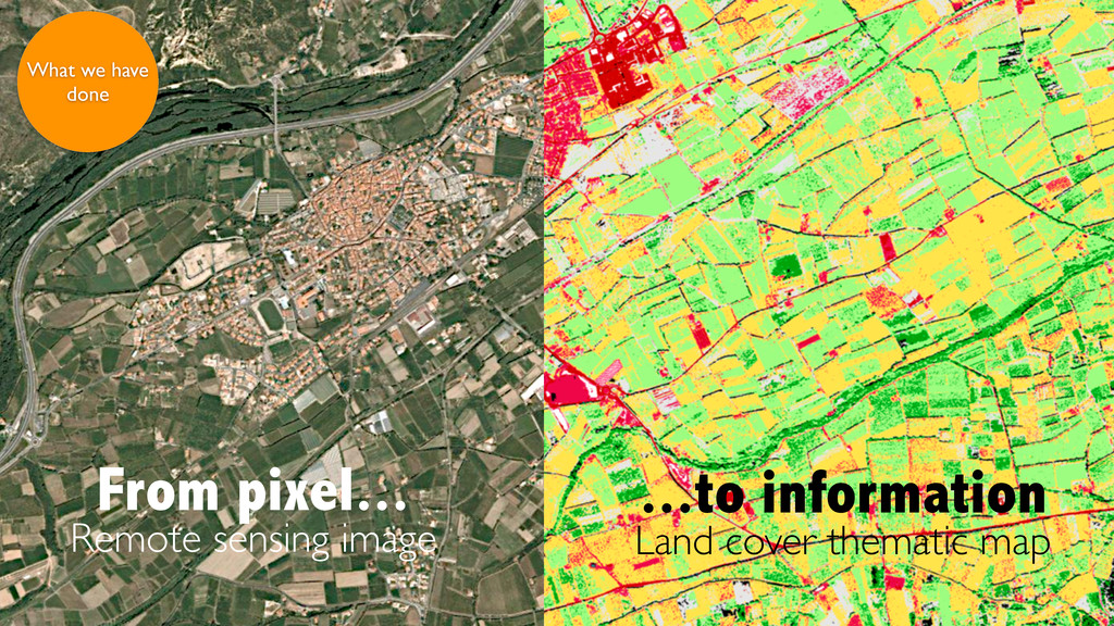
Synthesis of R&T projects on Cloud Computing and WPS - i.e. OpenStack cloud based solution for processing SRTM data followed by Land Cover classification through WPS

Jérôme Gasperi

October 01, 2013
Tweet

More Decks by Jérôme Gasperi

Other Decks in Technology

Transcript

  1. RTS Techniques de l'Information et de la Communication CNES -

    Toulouse, France - October 1st, 2013 https://speakerdeck.com/jjrom/cloud-computing-and-web-processing-services Cloud Computing & Web Processing Services [email protected] Jérôme Gasperi
  2. Cloud Computing Introduction What we have done Issues Web Processing

    Services Introduction What we have done Issues What's next ? WPS on the cloud
  3. ?

  4. process 1 € store 5 € access 0.5 € to

    + 1 time per year each time (Very) approximative computations for a 20x20 km PA+XS Pleiades product (4 Go) - based on Amazon EC2 and S3 pricing (2012)
  5. process 1 € store 5 € access 0.5 € to

    + 1 time per year each time (Very) approximative computations for a 20x20 km PA+XS Pleiades product (4 Go) - based on Amazon EC2 and S3 pricing (2012)
  6. Data security and user privacy cannot be guaranteed in public

    clouds Majority of cloud providers are subject to governmental law (e.g. US patriot act)
  7. Hill Shading Projecting Web browser Processing (Orfeo Toolbox) What we

    have done VISUALIZE WMS Server Tiling eNovance (Paris) SRTM tile Data
  8. Private cloud technologies are quite simple to implement. They reduce

    the cost of operation and maintenance by sharing a common infrastructure across multiple projects
  9. Data and processes should be colocated Processing results should be

    downloaded only if needed Better to offer a Web service to visualize/manipulate results ...so
  10. Data and processes should be colocated Processing results should be

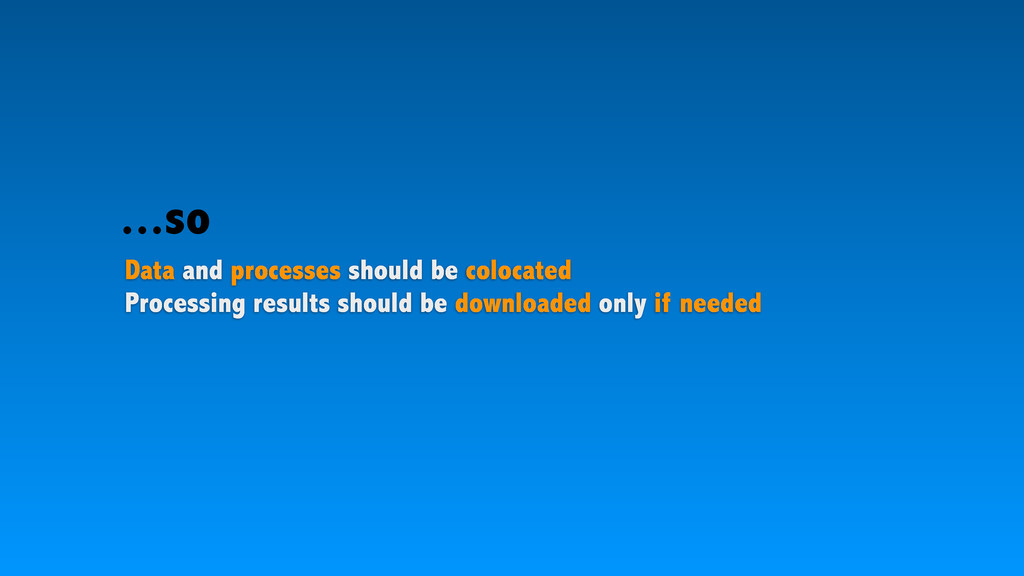
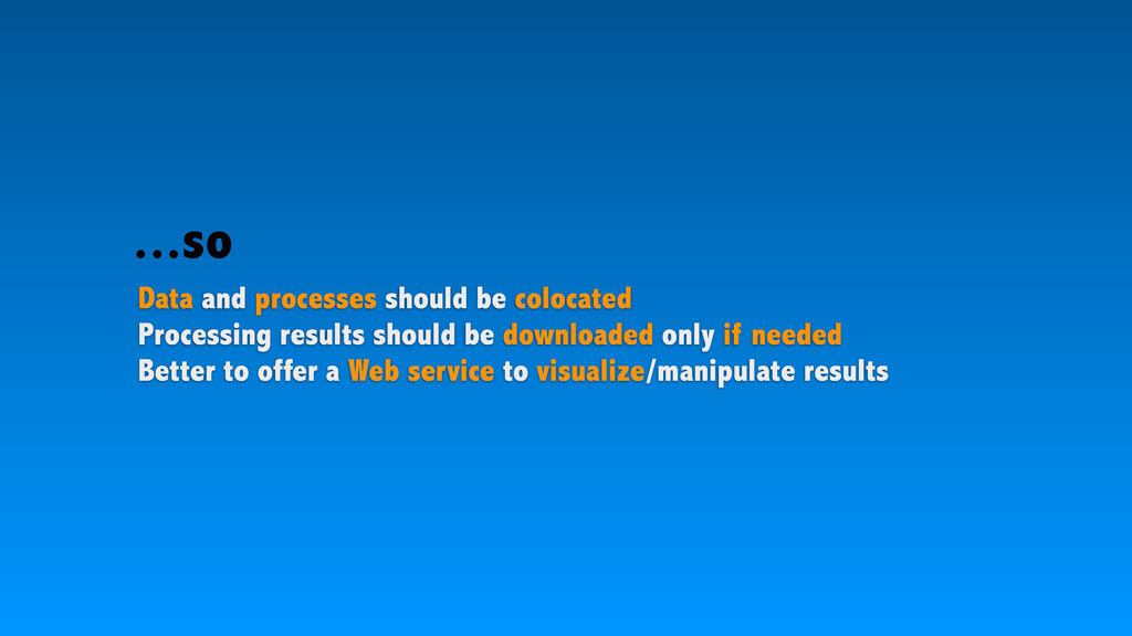
    downloaded only if needed Better to offer a Web service to visualize/manipulate results Standardize processes inputs/outputs description (e.g. WPS) ...so
  11. Web Processing Services (WPS) is an OGC standard which defines

    interfaces to publish, describe and execute geospatial processes
  12. Orfeo Toolbox More than 70 high level processing chains orthorectification

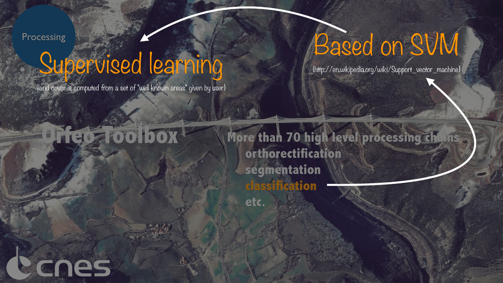
    segmentation classification etc. Processing Supervised learning (land cover is computed from a set of "well known areas" given by user) Based on SVM (http://en.wikipedia.org/wiki/Support_vector_machine)
  13. mapshup Supported data sources WMS WFS CSW WPS OpenSearch etc.

    Flickr Youtube GeoRSS KML Wikipedia Google maps Bing maps OpenStreetMap MapBox WMTS Web application
  14. mapshup Supported data sources See WPS demo https://vimeo.com/67288678 WMS WFS

    CSW WPS OpenSearch etc. Flickr Youtube GeoRSS KML Wikipedia Google maps Bing maps OpenStreetMap MapBox WMTS Web application
  15. WPS 2.0 defines a set of process management operations -

    GetStatus, Delete, Pause and Resume However...
  16. WPS 2.0 defines a set of process management operations -

    GetStatus, Delete, Pause and Resume This is a must have to deploy asynchronous WPS on the cloud However...
  17. WPS 2.0 defines a set of process management operations -

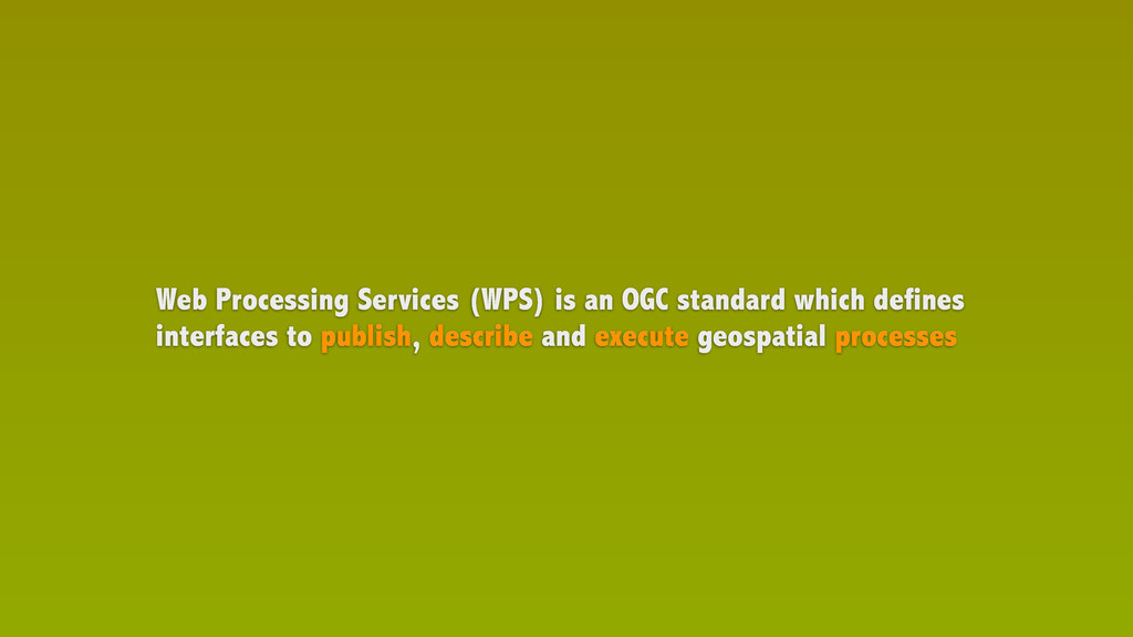
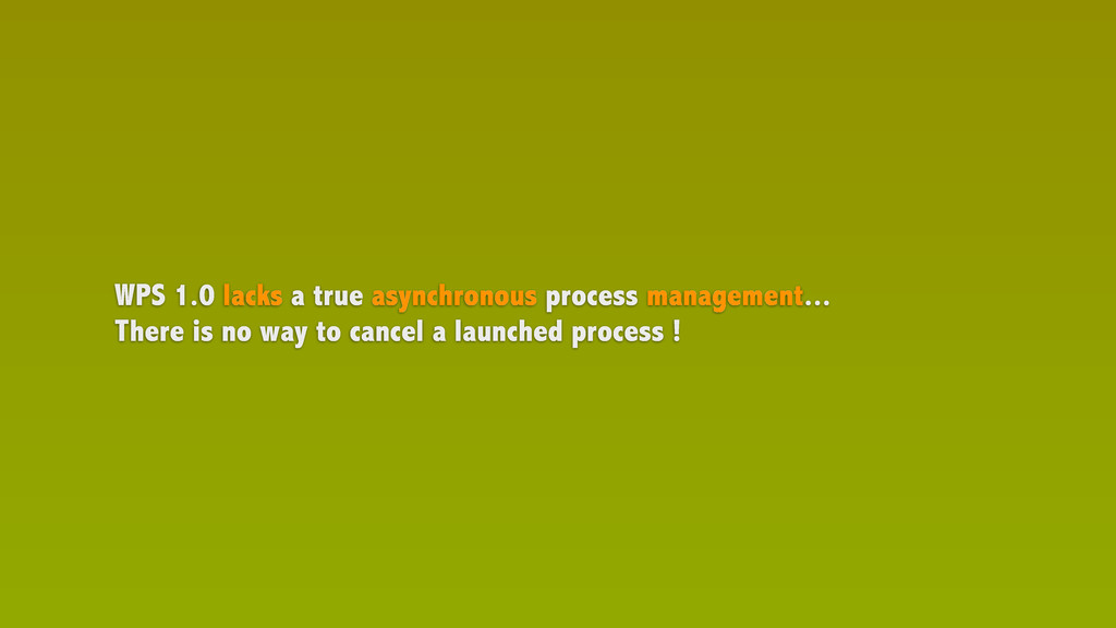
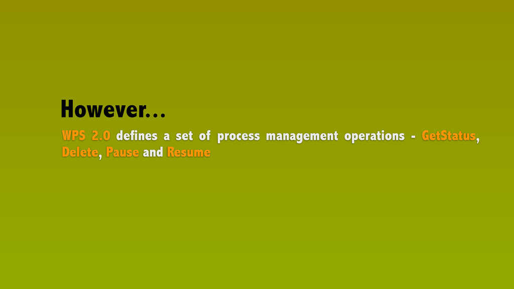
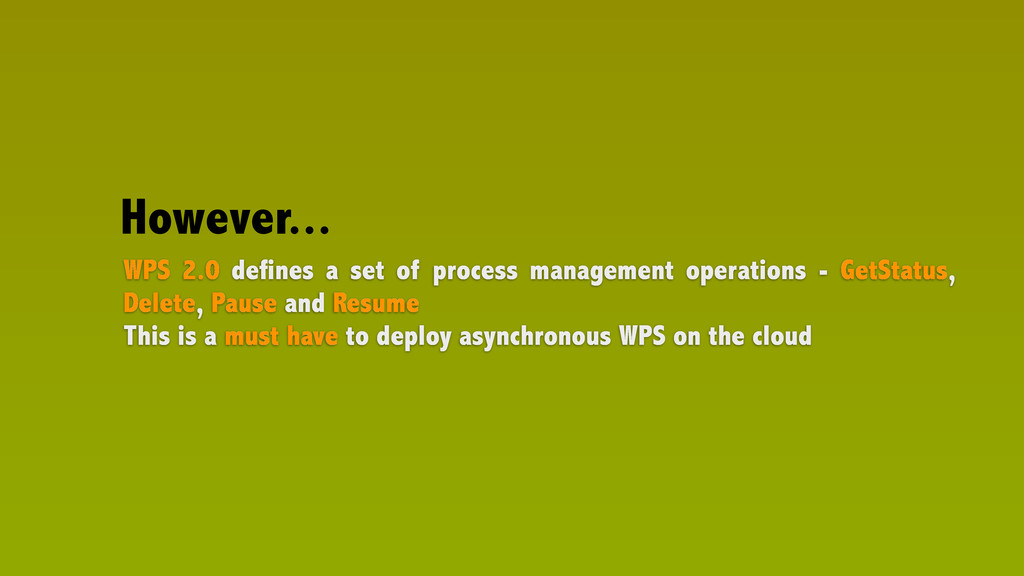
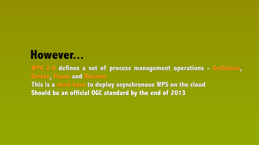
    GetStatus, Delete, Pause and Resume This is a must have to deploy asynchronous WPS on the cloud Should be an official OGC standard by the end of 2013 However...
  18. Orthorectifying images hosted by a cloud infrastructure using WPS standard

    In kind contribution to the «Open Mobility» thread of the OGC OWS-10 Testbeb Final delivery and demonstration April/May 2014
  19. Raw images Processing Data (Pléiades samples) Client Interoute (location :

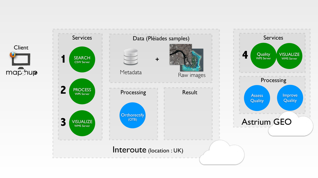
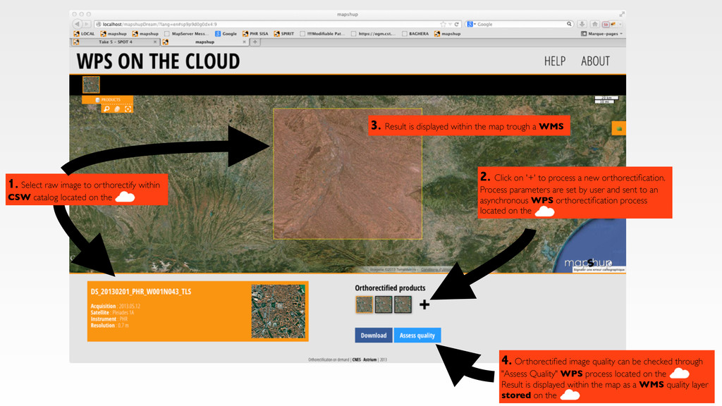
    UK) Services PROCESS WPS Server Orthorectify (OTB) VISUALIZE WMS Server SEARCH CSW Server Metadata + 1 2 3 Assess Quality Improve Quality Services Processing Astrium GEO Result Quality WPS Server 4 VISUALIZE WMS Server
  20. Landsat Landsat Landsat 2. Click on '+' to process a

    new orthorectification. Process parameters are set by user and sent to an asynchronous WPS orthorectification process located on the 3. Result is displayed within the map trough a WMS Landsat 4. Orthorectified image quality can be checked through "Assess Quality" WPS process located on the Result is displayed within the map as a WMS quality layer stored on the 1. Select raw image to orthorectify within CSW catalog located on the Laat
  21. RTS Techniques de l'Information et de la Communication CNES -

    Toulouse, France - October 1st, 2013 https://speakerdeck.com/jjrom/cloud-computing-and-web-processing-services Cloud Computing & Web Processing Services [email protected] Jérôme Gasperi