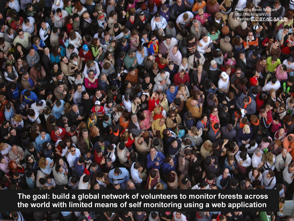
forests across the world with limited means of self monitoring using a web application Photo by Kevin McGarr http://flic.kr/p/aNVsh License: (CC BY-NC-SA 2.0)
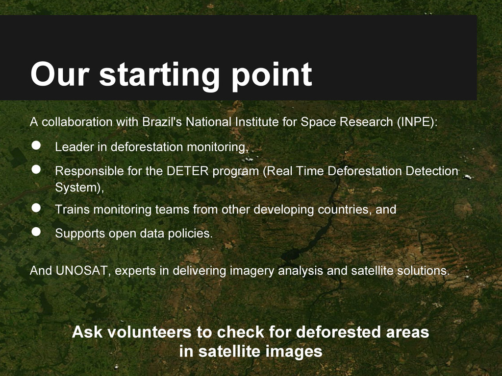
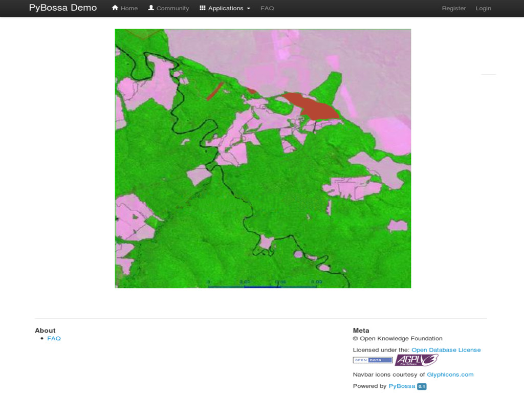
Space Research (INPE): • Leader in deforestation monitoring, • Responsible for the DETER program (Real Time Deforestation Detection System), • Trains monitoring teams from other developing countries, and • Supports open data policies. And UNOSAT, experts in delivering imagery analysis and satellite solutions. Ask volunteers to check for deforested areas in satellite images
![Thank You! [email protected] If you are interested to get involved,](https://files.speakerdeck.com/presentations/4f54bd0e2b27ce0021009a32/slide_13.jpg)