Upgrade to Pro — share decks privately, control downloads, hide ads and more …

FOSS4G Hiroshima 2026 - Kumoy: Turn your QGIS M...

Avatar for Raymond Lay Raymond Lay
September 07, 2026
93

FOSS4G Hiroshima 2026 - Kumoy: Turn your QGIS Maps into Cloud-Native

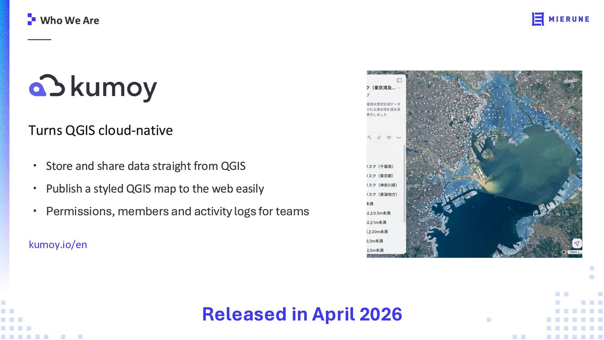
Stop struggling to share QGIS maps. With Kumoy, you can push your QGIS projects into an interactive web map in just a few clicks. You can also work together on the same project, manage roles and permissions, and keep QGIS maps and data in sync.

Avatar for Raymond Lay

Raymond Lay

September 07, 2026

Transcript

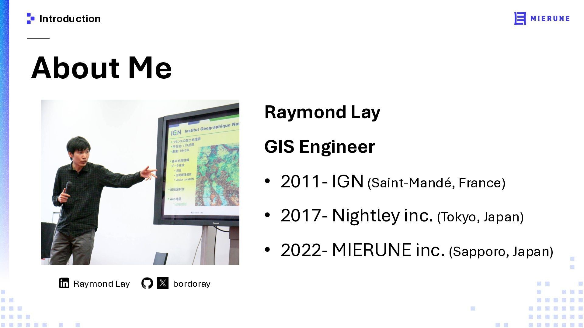
  1. Introduction About Me Raymond Lay GIS Engineer • 2011- IGN

    (Saint-Mandé, France) • 2017- Nightley inc. (Tokyo, Japan) • 2022- MIERUNE inc. (Sapporo, Japan) Raymond Lay bordoray
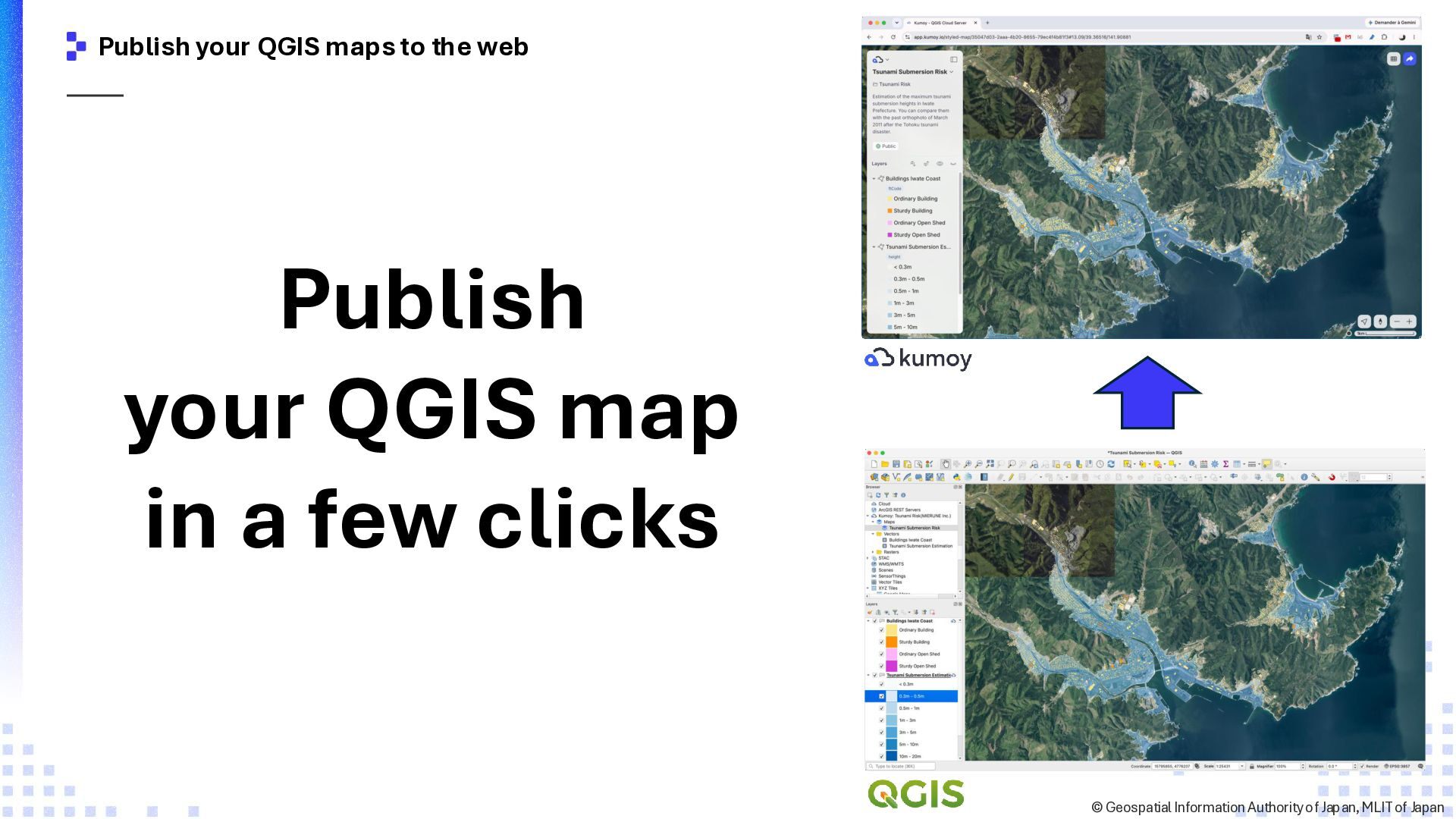
  2. Publish your QGIS maps to the web Publish your QGIS

    map in a few clicks ©️ Geospatial Information Authority of Japan, MLIT of Japan
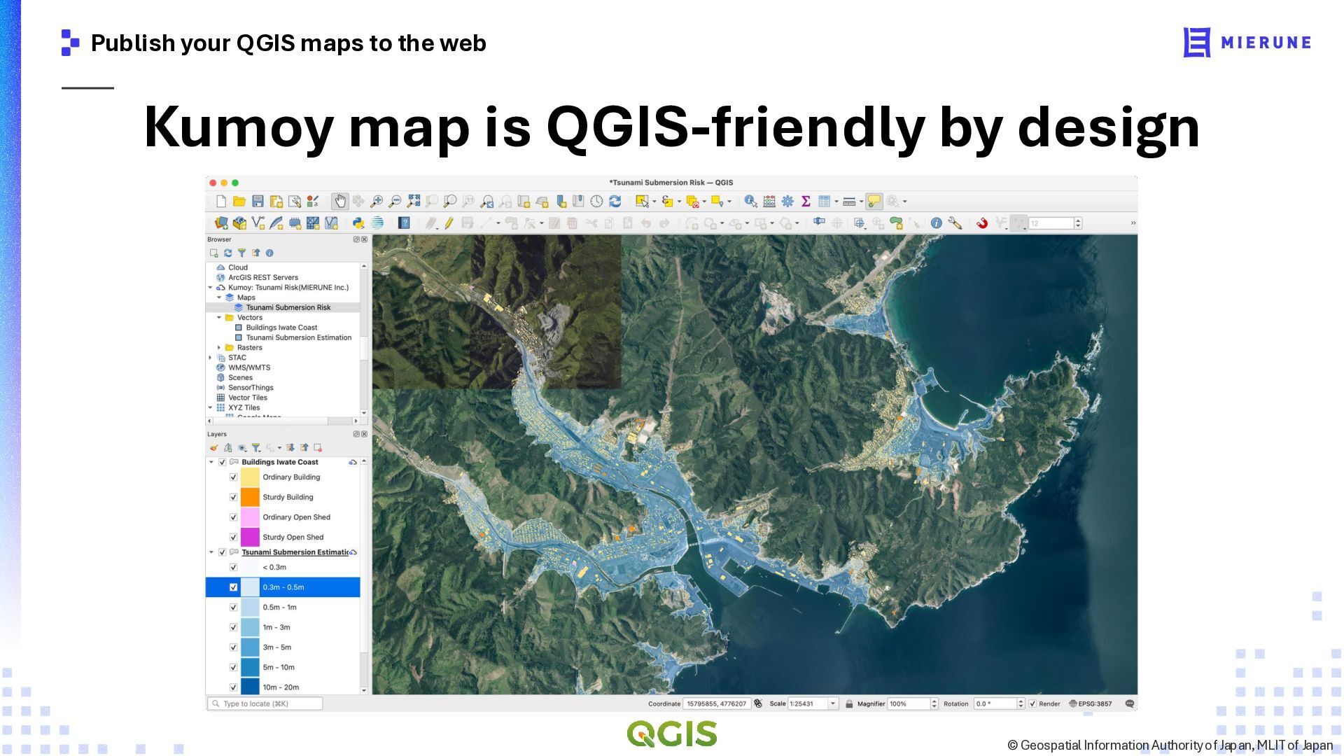
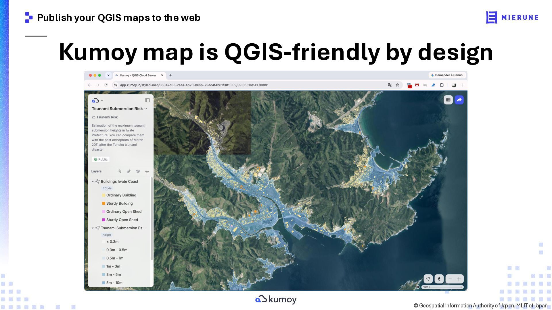
  3. Publish your QGIS maps to the web Kumoy map is

    QGIS-friendly by design ©️ Geospatial Information Authority of Japan, MLIT of Japan
  4. Publish your QGIS maps to the web Kumoy map is

    QGIS-friendly by design ©️ Geospatial Information Authority of Japan, MLIT of Japan
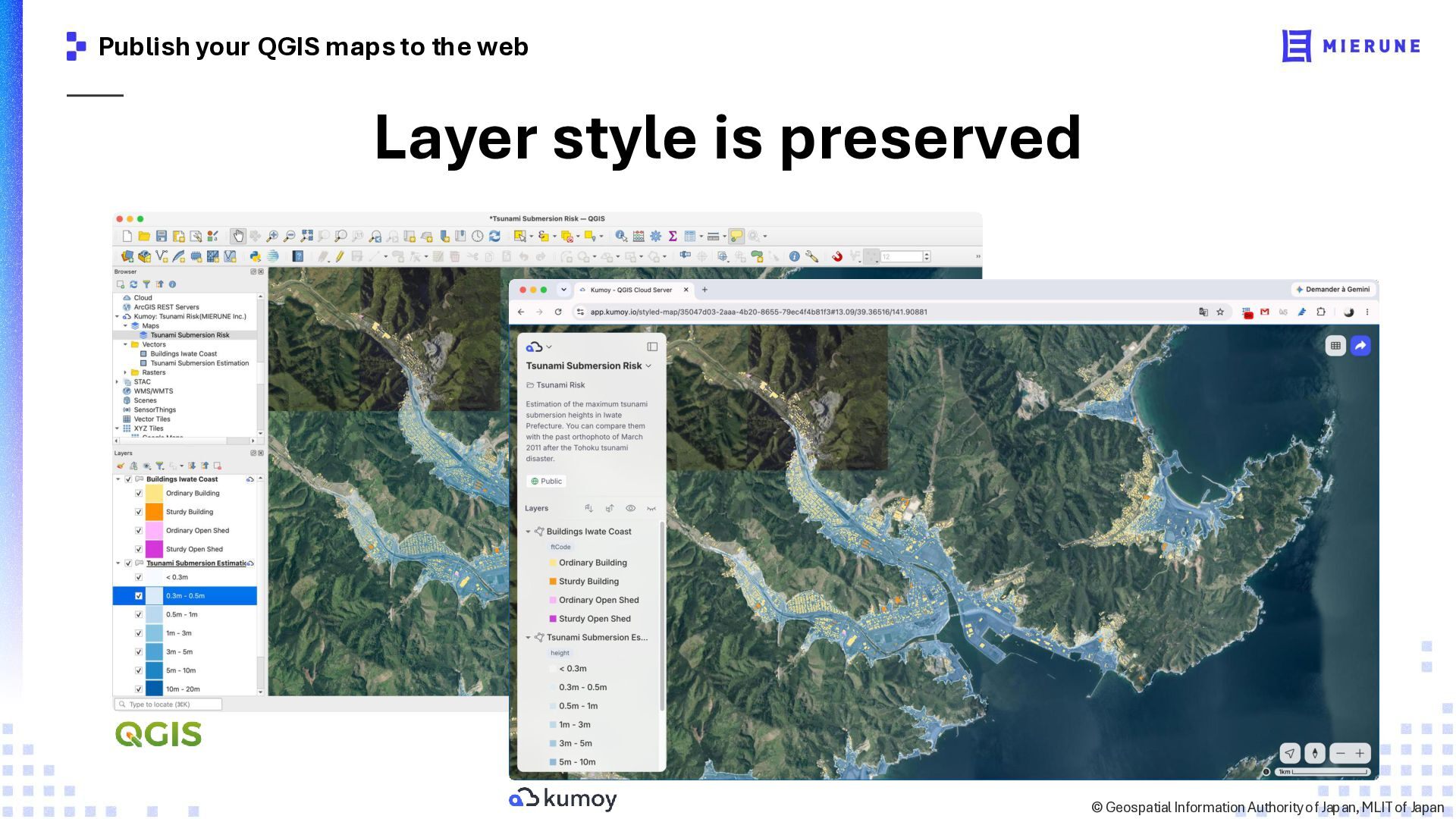
  5. Publish your QGIS maps to the web Layer style is

    preserved ©️ Geospatial Information Authority of Japan, MLIT of Japan
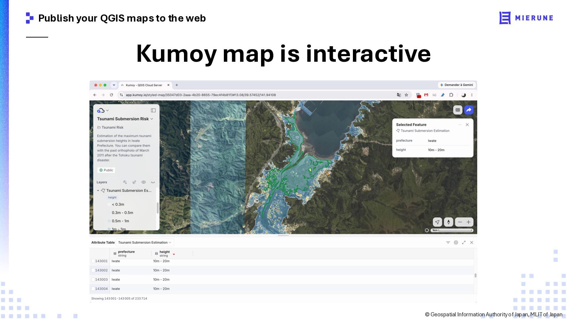
  6. Publish your QGIS maps to the web Kumoy map is

    interactive ©️ Geospatial Information Authority of Japan, MLIT of Japan
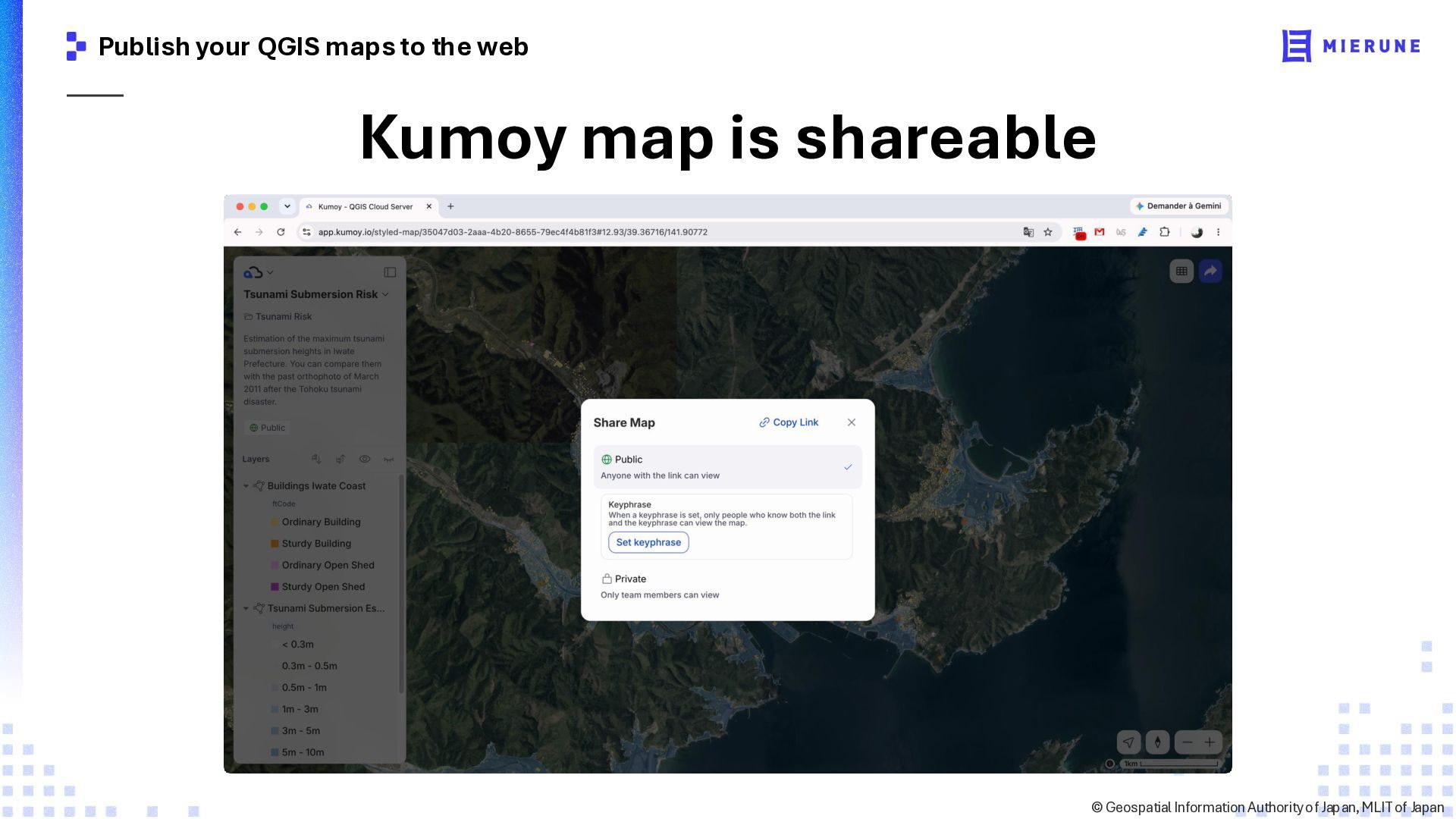
  7. Publish your QGIS maps to the web Kumoy map is

    shareable ©️ Geospatial Information Authority of Japan, MLIT of Japan
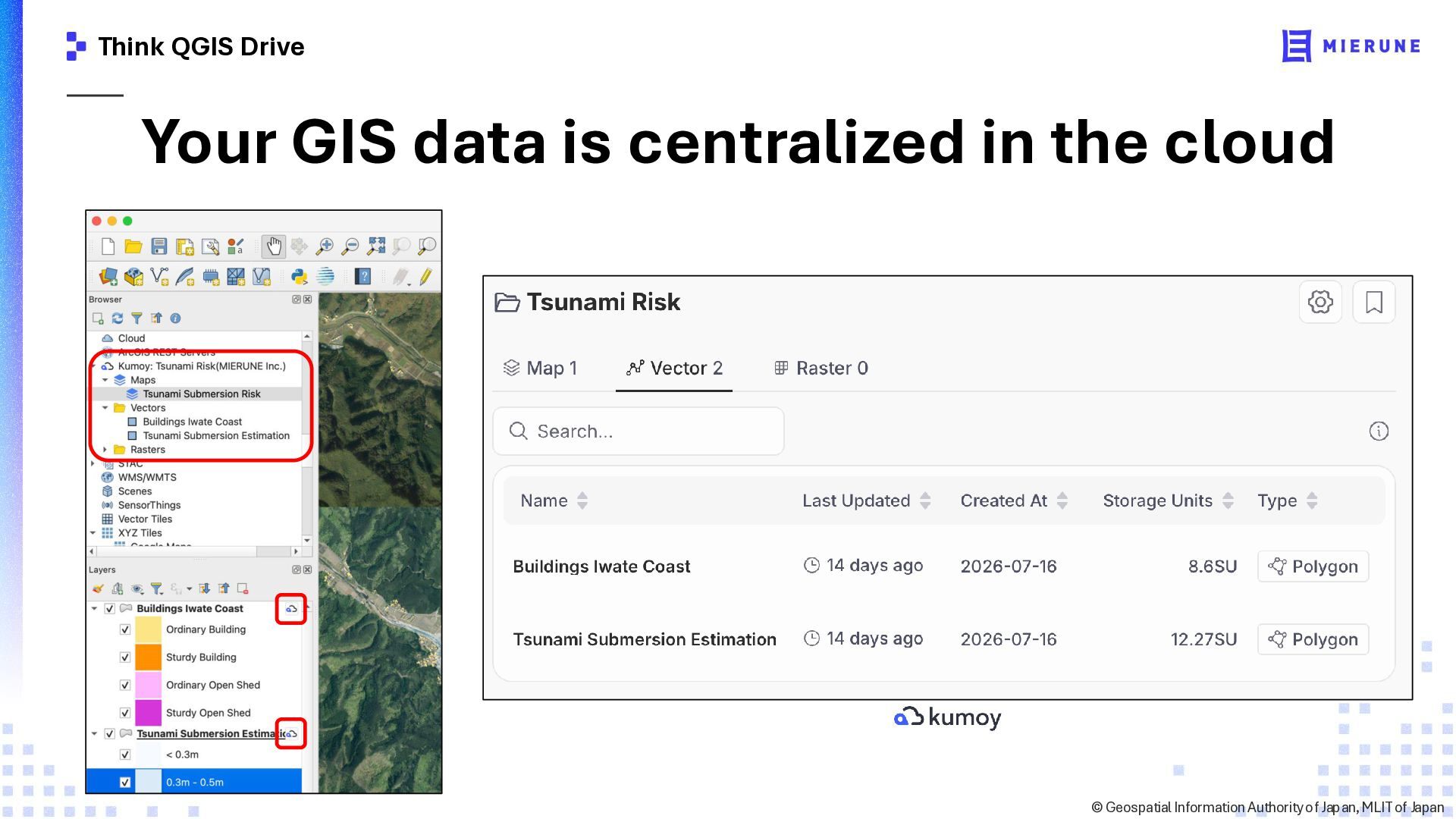
  8. Think QGIS Drive Your GIS data is centralized in the

    cloud ©️ Geospatial Information Authority of Japan, MLIT of Japan
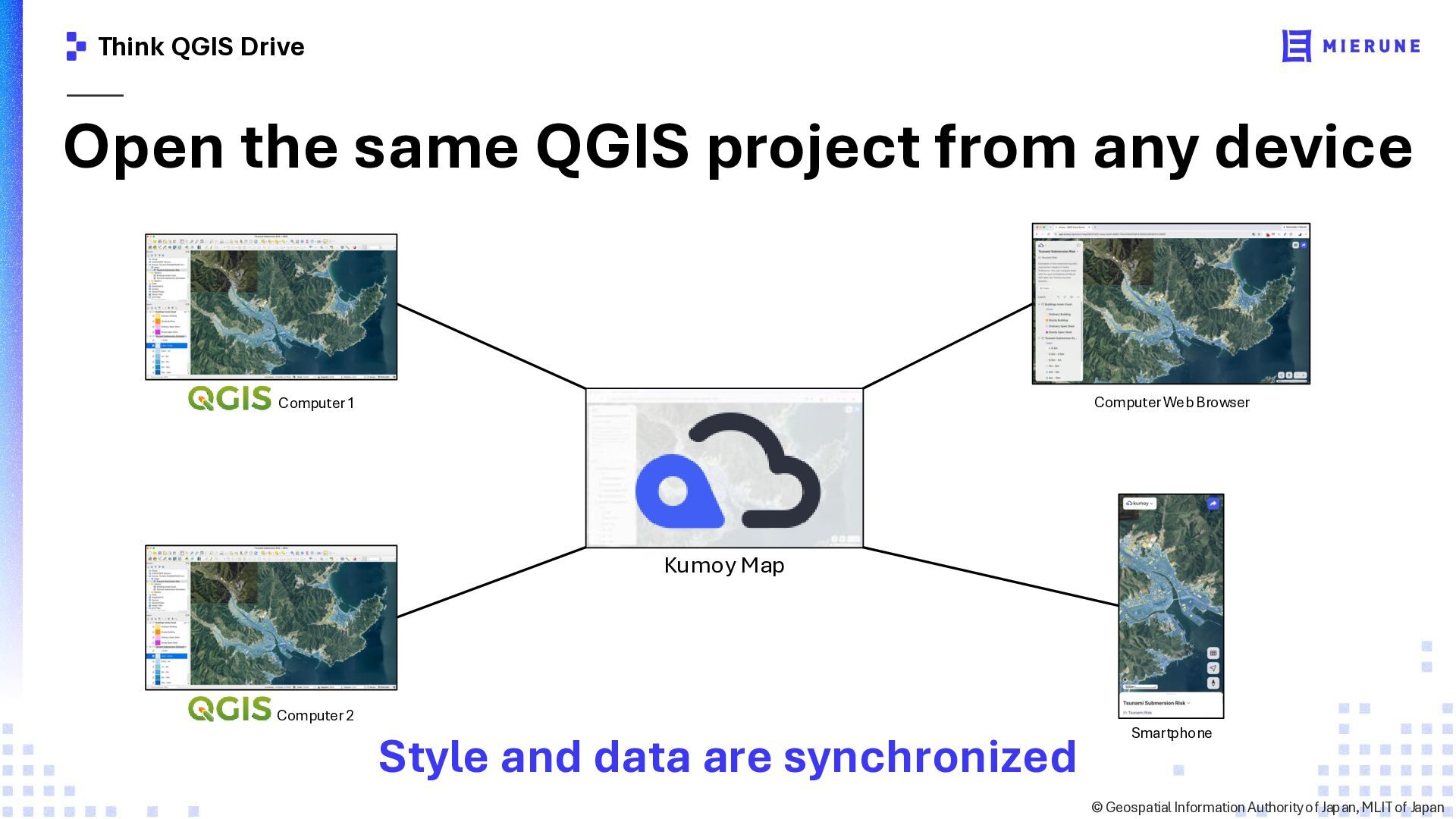
  9. Think QGIS Drive Open the same QGIS project from any

    device Computer Web Browser Computer 1 Kumoy Map Computer 2 Style and data are synchronized Smartphone ©️ Geospatial Information Authority of Japan, MLIT of Japan
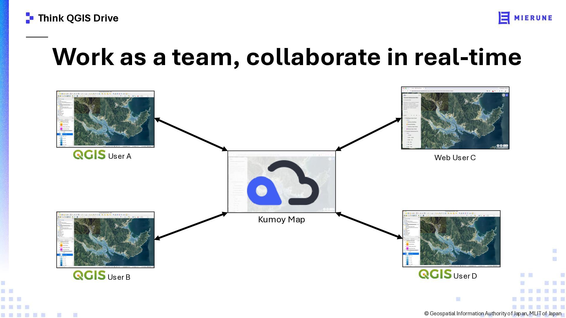
  10. Think QGIS Drive Work as a team, collaborate in real-time

    User A Web User C Kumoy Map User B User D ©️ Geospatial Information Authority of Japan, MLIT of Japan
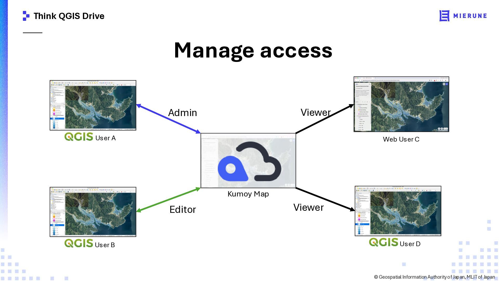
  11. Think QGIS Drive Manage access Viewer Admin User A Web

    User C Kumoy Map Editor User B Viewer User D ©️ Geospatial Information Authority of Japan, MLIT of Japan
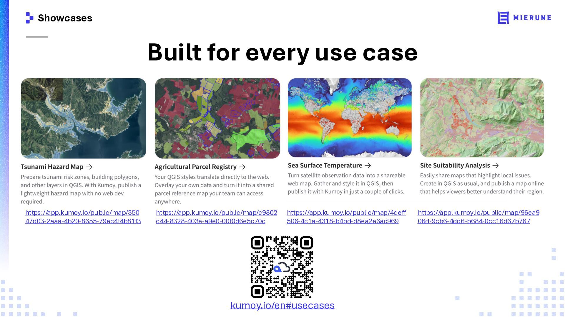
  12. Showcases Built for every use case https://app.kumoy.io/public/map/350 47d03-2aaa-4b20-8655-79ec4f4b81f3 https://app.kumoy.io/public/map/c9802 c44-8328-403e-a9e0-00f0d6e5c70c

    https://app.kumoy.io/public/map/4deff 506-4c1a-4318-b4bd-d8ea2e6ac969 kumoy.io/en#usecases https://app.kumoy.io/public/map/96ea9 06d-9cb6-4dd6-b684-0cc16d67b767
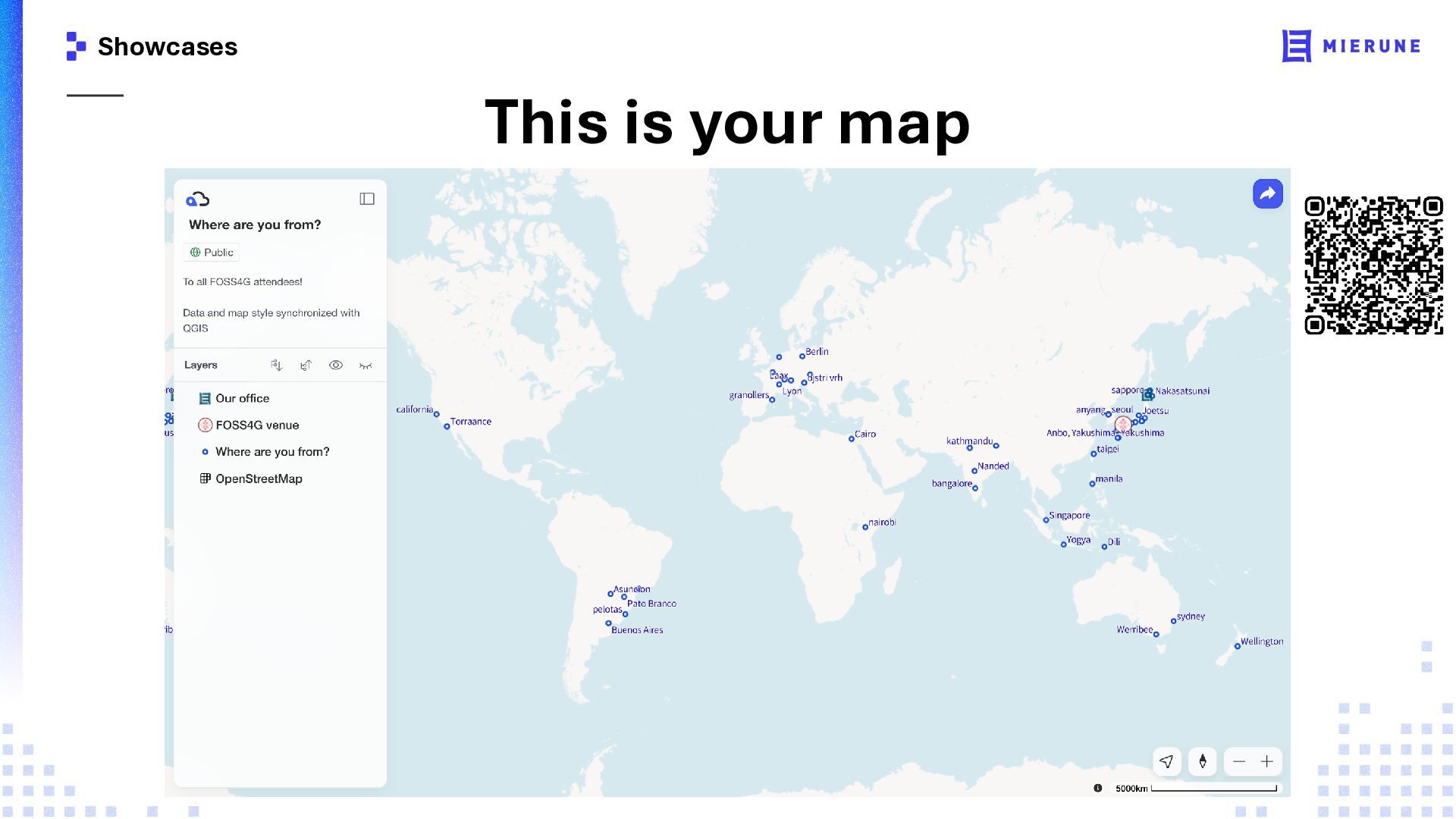
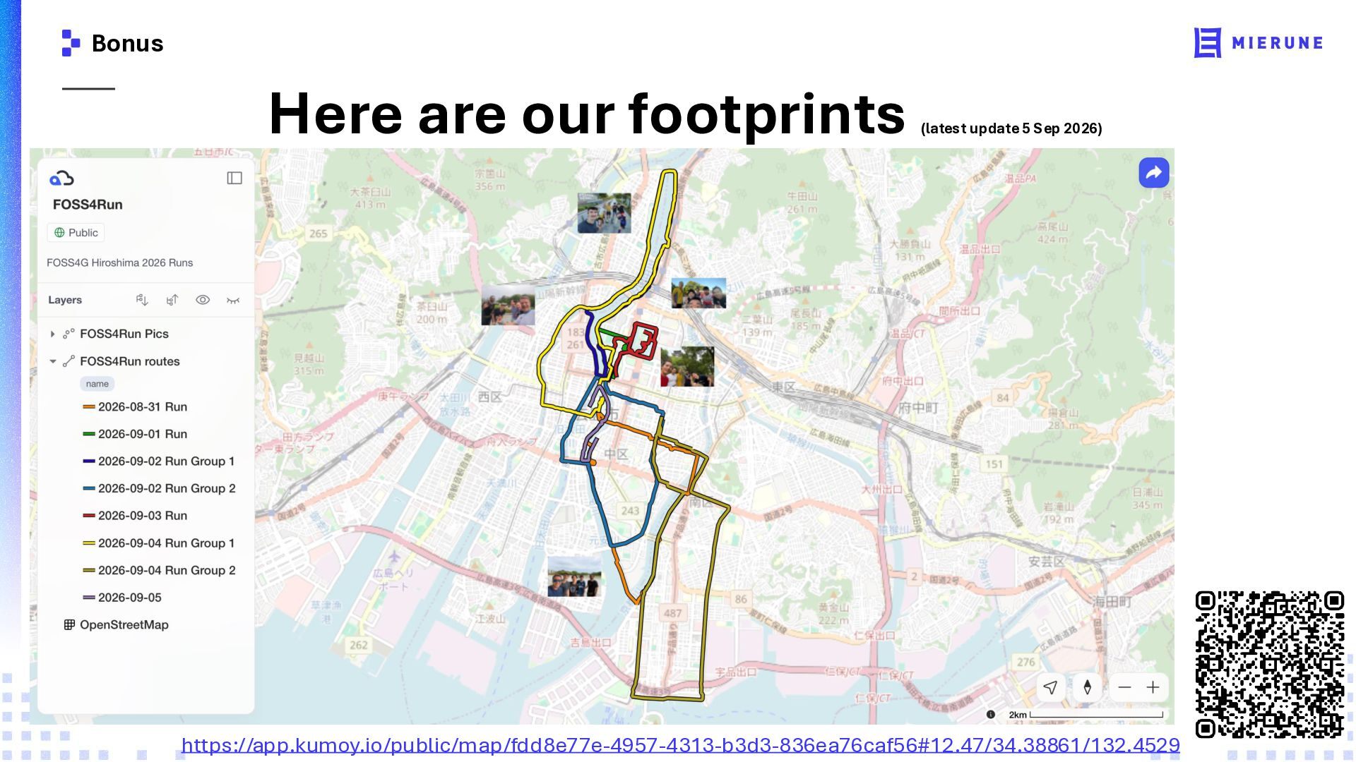
  13. Bonus Here are our footprints (latest update 5 Sep 2026)

    https://app.kumoy.io/public/map/fdd8e77e-4957-4313-b3d3-836ea76caf56#12.47/34.38861/132.4529