Upgrade to Pro — share decks privately, control downloads, hide ads and more …

FOSS4G Hiroshima 2026 - Seamlessly Compare Maps...

Sponsored · Your Podcast. Everywhere. Effortlessly. Share. Educate. Inspire. Entertain. You do you. We'll handle the rest.
Avatar for Raymond Lay Raymond Lay
September 07, 2026
33

FOSS4G Hiroshima 2026 - Seamlessly Compare Maps on QGIS with the QMapCompare Plugin

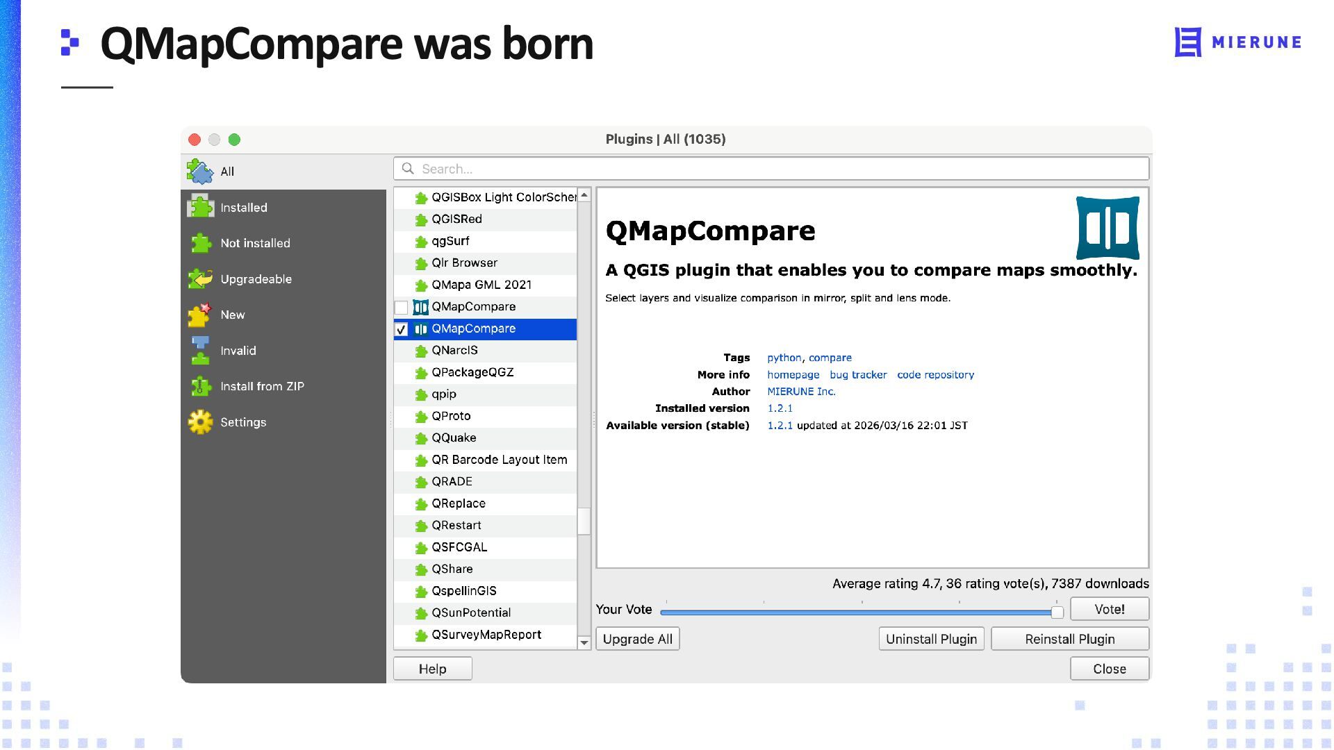
Comparing differences between basemaps or datasets in QGIS is difficult when only one map can be viewed at a time. QMapCompare solves this by bringing interactive map comparison into QGIS.
The plugin supports multiple visualization methods to quickly reveal changes across styles and datasets.

Avatar for Raymond Lay

Raymond Lay

September 07, 2026

Transcript

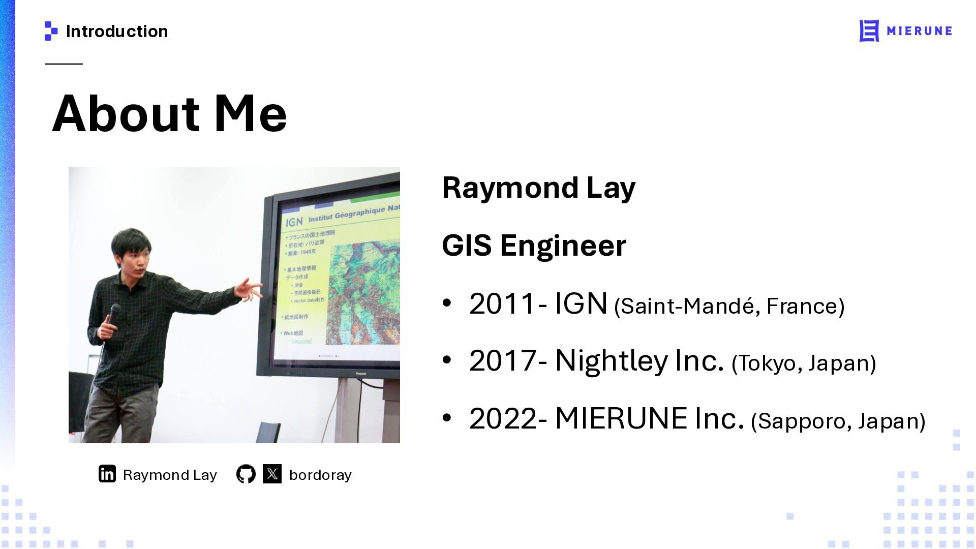
  1. Introduction About Me Raymond Lay GIS Engineer • 2011- IGN

    (Saint-Mandé, France) • 2017- Nightley Inc. (Tokyo, Japan) • 2022- MIERUNE Inc. (Sapporo, Japan) Raymond Lay bordoray
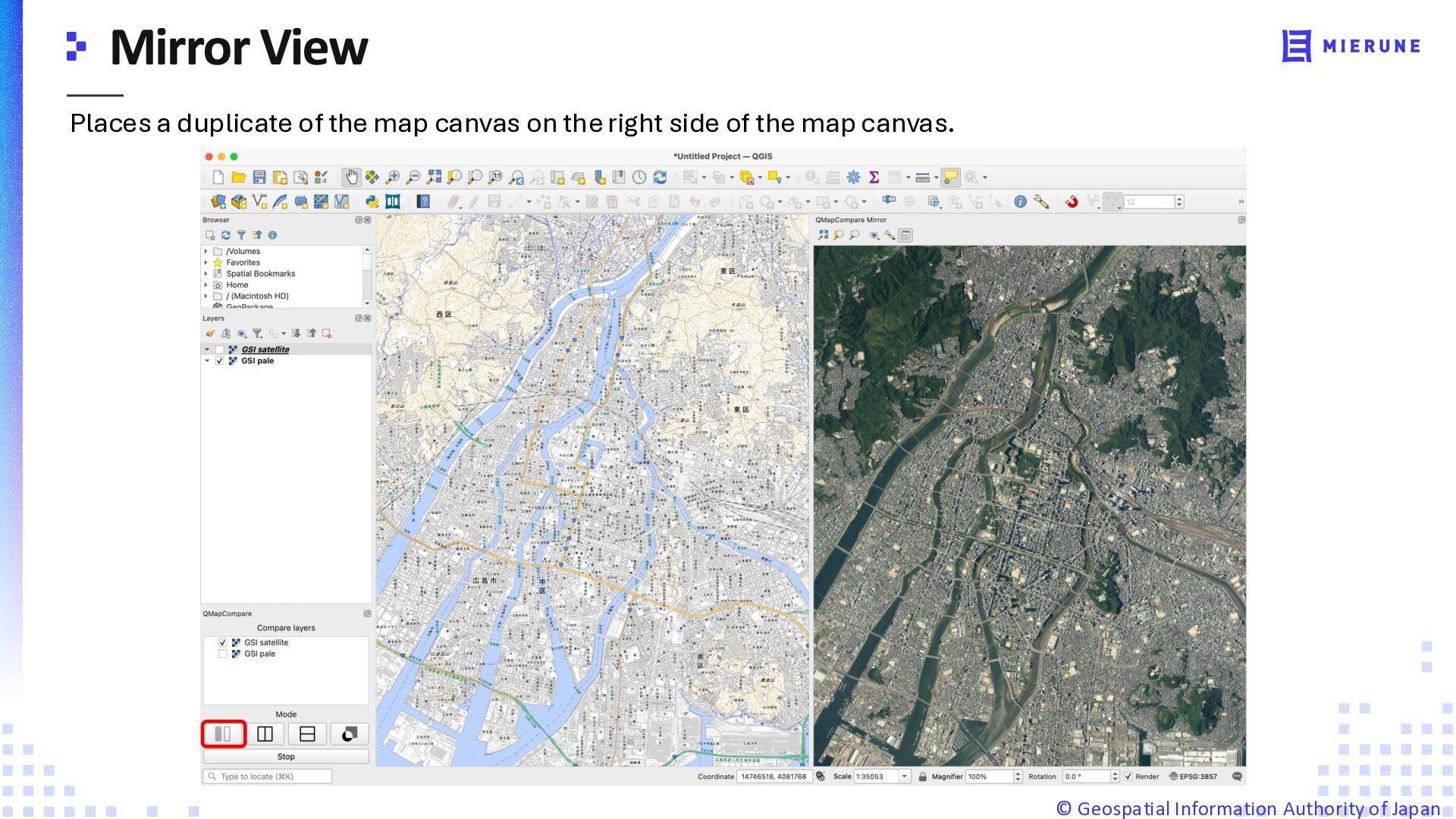
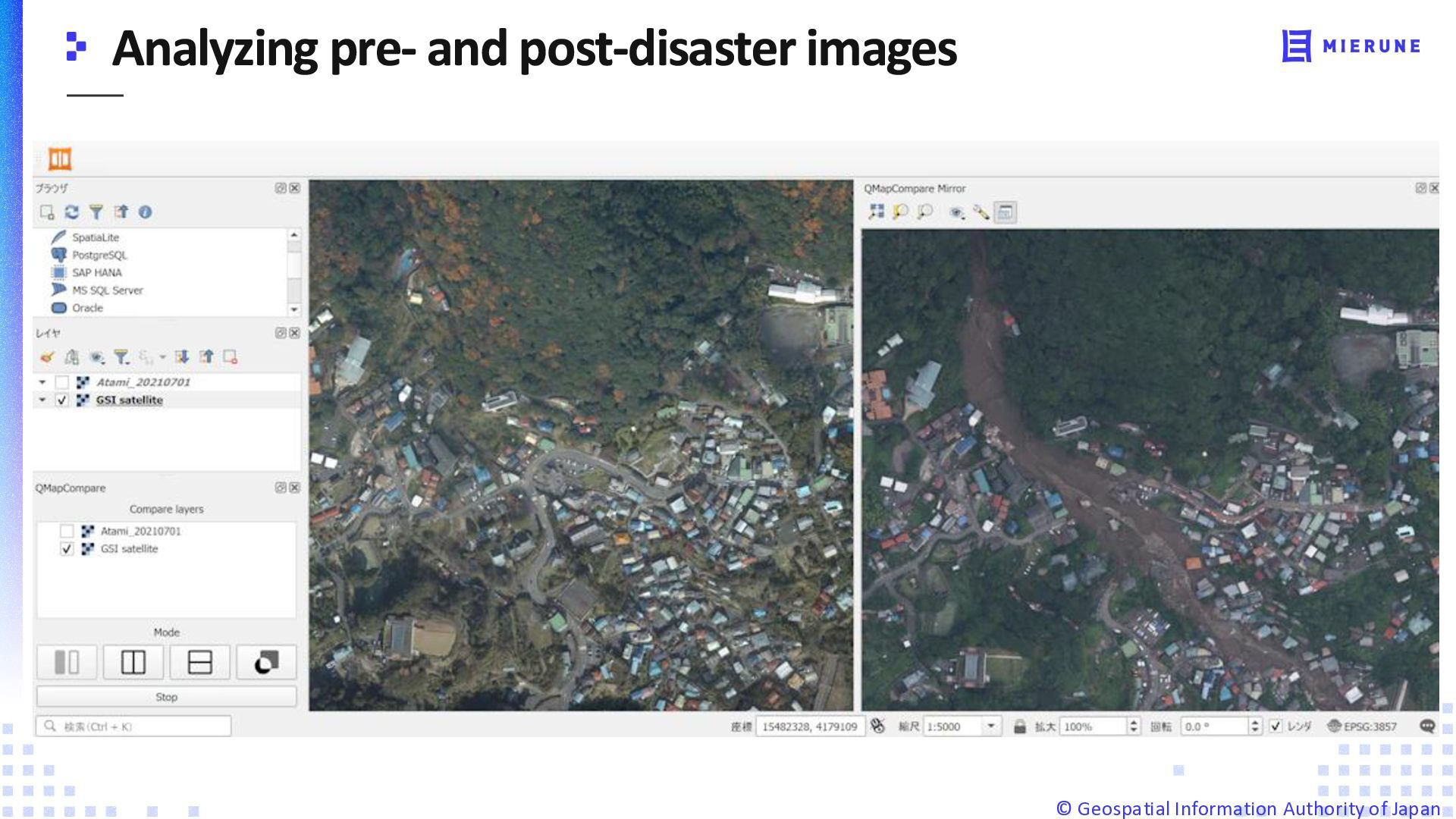
  2. Places a duplicate of the map canvas on the right

    side of the map canvas. ©️ Geospatial Information Authority of Japan
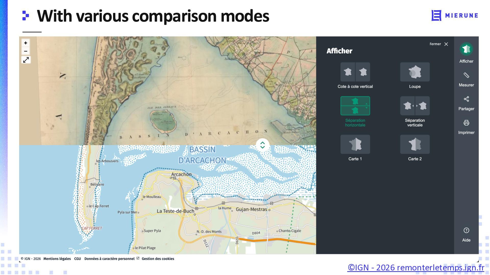
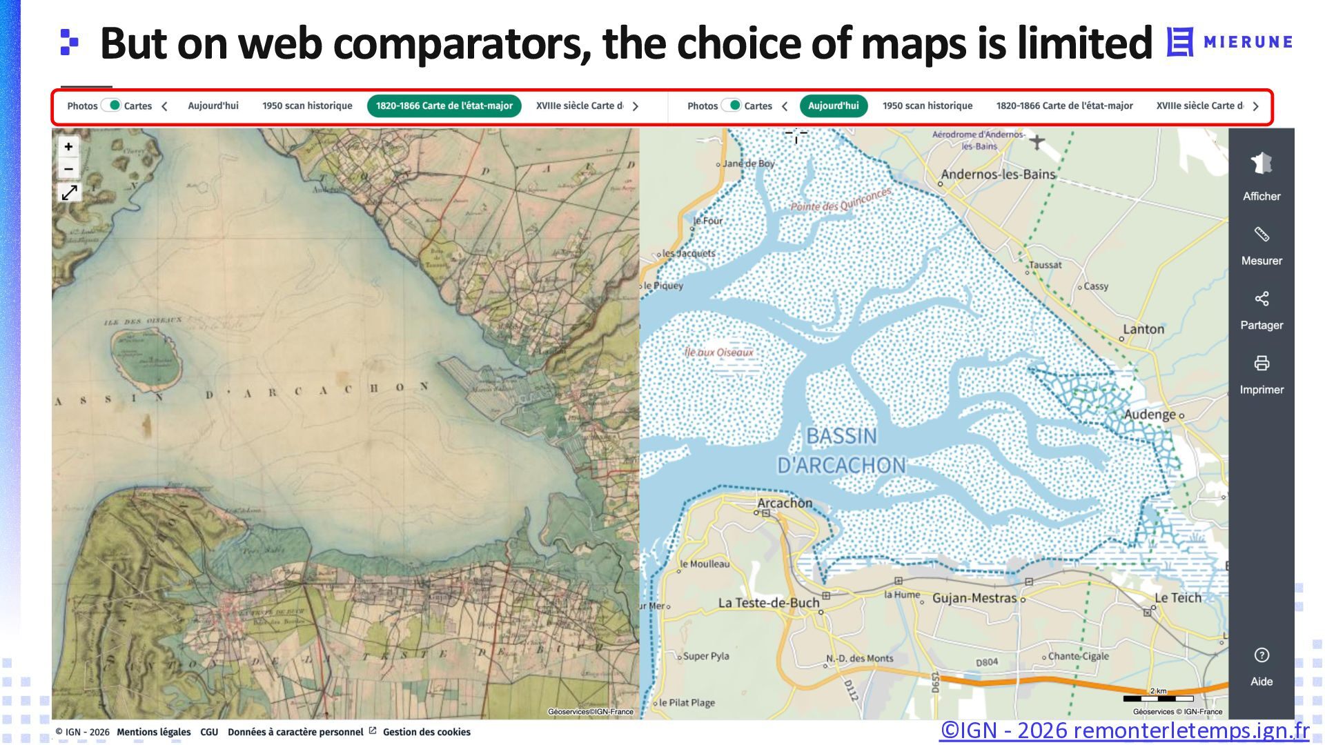
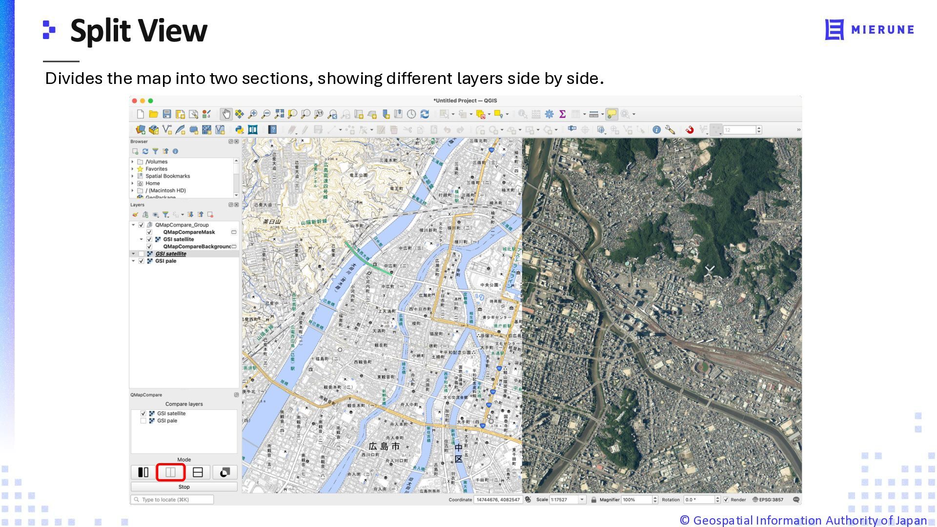
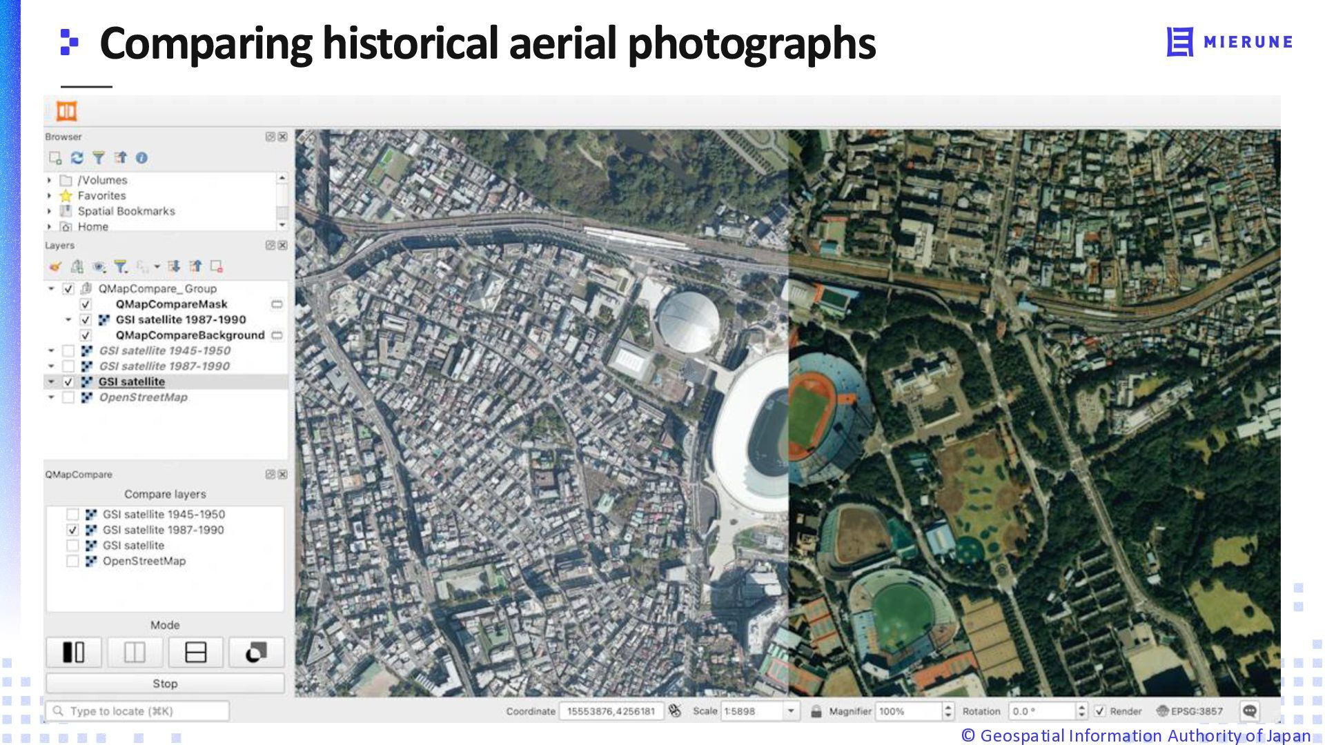
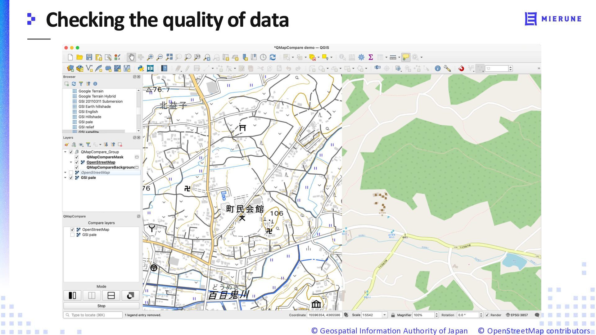
  3. Divides the map into two sections, showing different layers side

    by side. ©️ Geospatial Information Authority of Japan
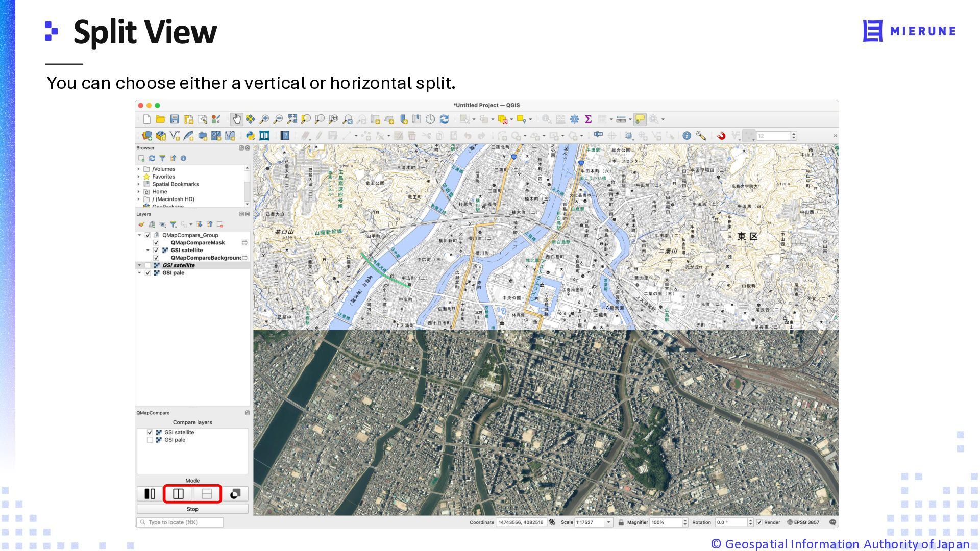
  4. You can choose either a vertical or horizontal split. ©️

    Geospatial Information Authority of Japan
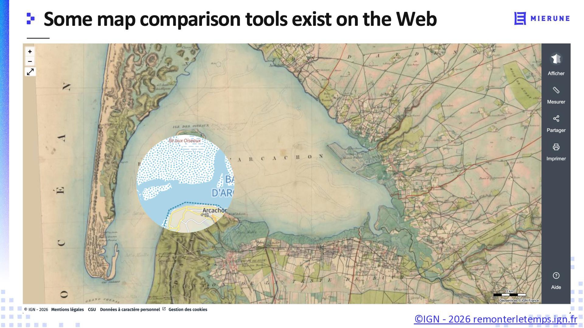
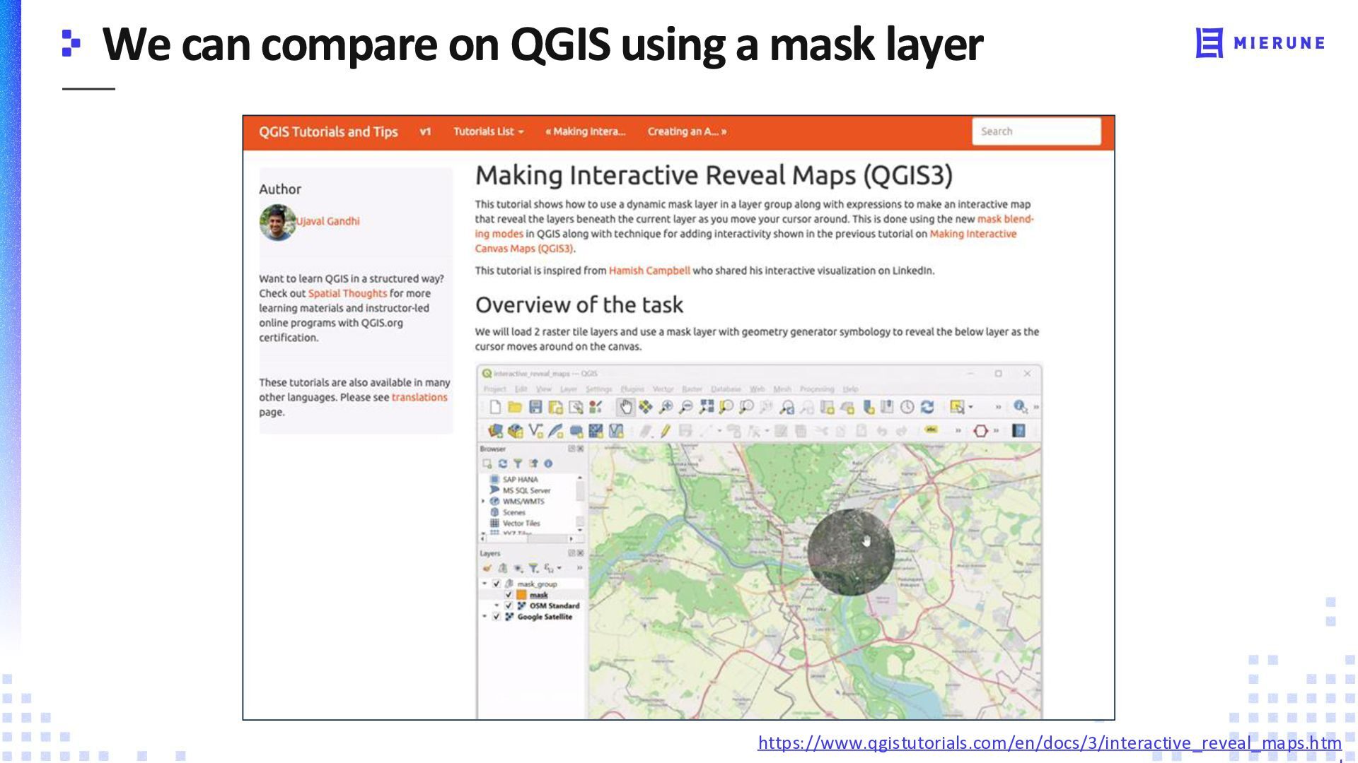
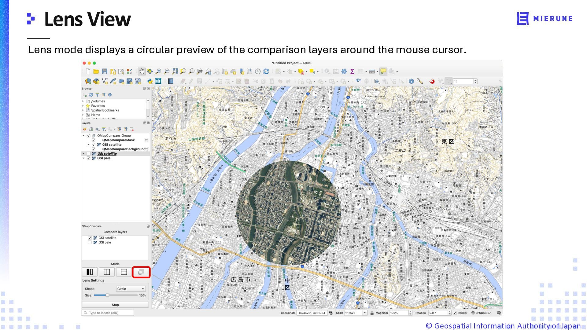
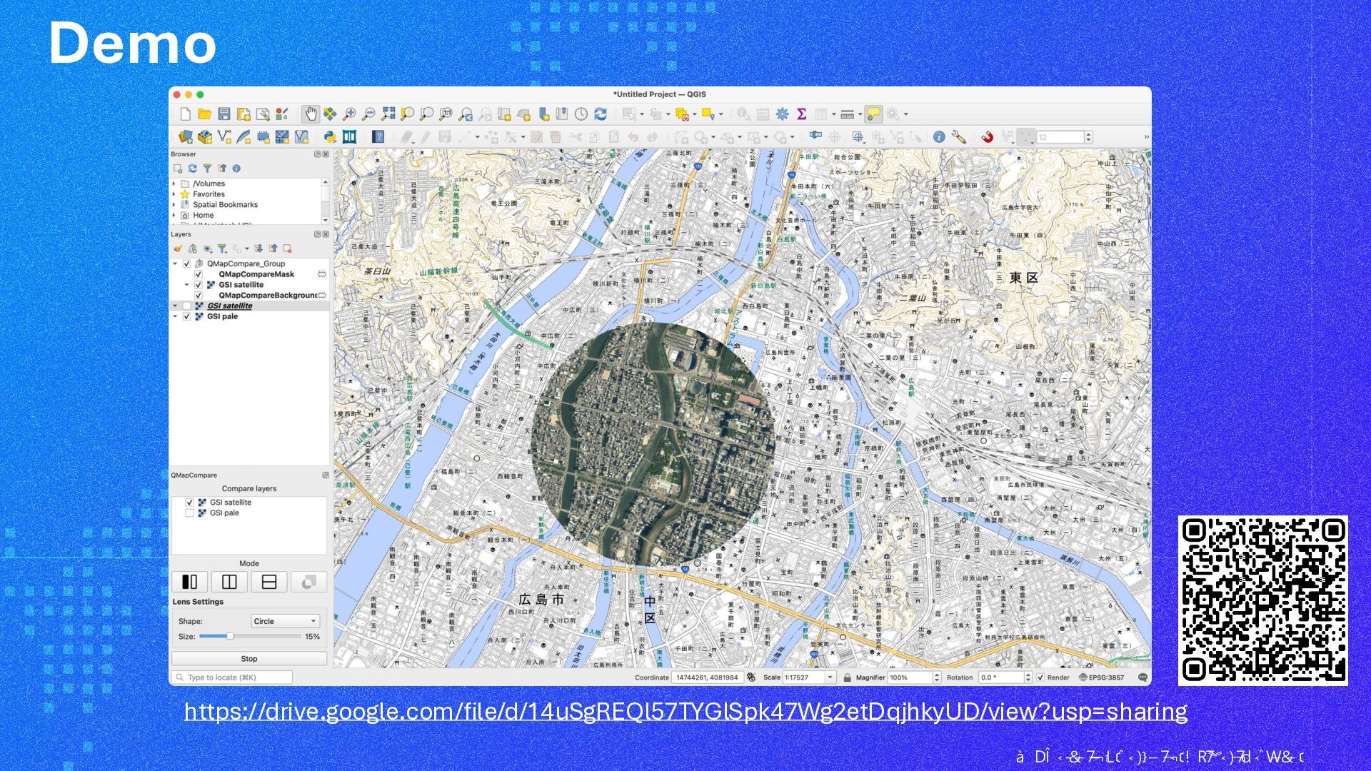
  5. Lens mode displays a circular preview of the comparison layers

    around the mouse cursor. ©️ Geospatial Information Authority of Japan
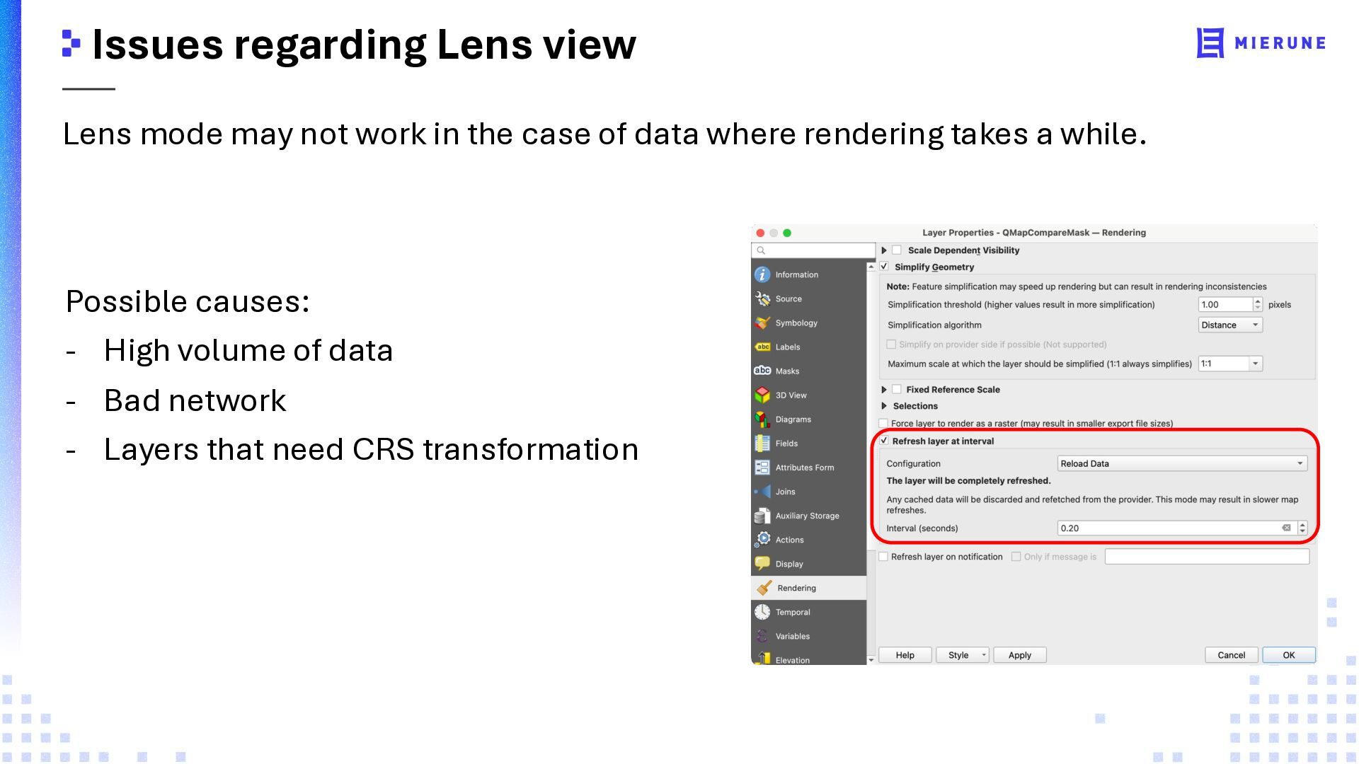
  6. Issues regarding Lens view Lens mode may not work in

    the case of data where rendering takes a while. Possible causes: - High volume of data - Bad network - Layers that need CRS transformation
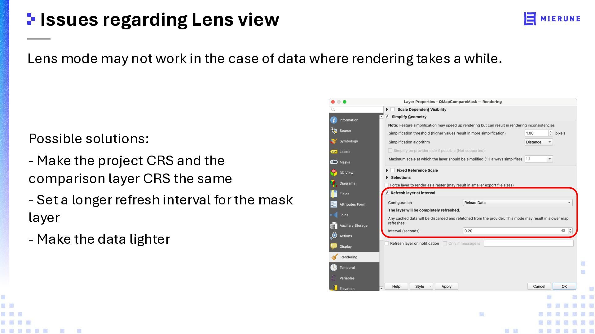
  7. Issues regarding Lens view Lens mode may not work in

    the case of data where rendering takes a while. Possible solutions: - Make the project CRS and the comparison layer CRS the same - Set a longer refresh interval for the mask layer - Make the data lighter