Upgrade to Pro
— share decks privately, control downloads, hide ads and more …
Speaker Deck
Features
Speaker Deck
PRO
Sign in
Sign up for free
Search
Search
Geo on Rails
Search
Guilherme Vinicius Moreira
June 19, 2012
Programming
180
3
Share
Embed
Copy iframe code
Copy JS code
Copy link
Start on current slide
Geo on Rails
Guilherme Vinicius Moreira
June 19, 2012
More Decks by Guilherme Vinicius Moreira
See All by Guilherme Vinicius Moreira
Introdução ao conceito de Gamificação
guivinicius
0
320
Other Decks in Programming
See All in Programming
LLMによるContent Moderationの本番運用の裏側と品質担保への挑戦
suikabar
3
800
自作OSでスライド発表する
uyuki234
0
3k
セキュリティの専門家じゃなくてもできる。「セキュリティ意識」をアップデートして サプライチェーン攻撃への耐性を高めよう。
tk3fftk
5
1k
作って学ぶ、 JSX (TSX) ランタイムの基本
syumai
7
1.7k
AI駆動開発を妨げる技術的負債の解消アプローチ / ai-refactoring-approach
minodriven
16
8.1k
決定論的オーケストレーションの設計と実装 / Design and Implementation of Deterministic Orchestration
nrslib
4
1.6k
Go1.27で導入されるジェネリクスメソッドでできること
mackee
0
210
Snowflake Summitでの新機能 CoCo / CoWork / snowflake-summit-2026-overall-what-new-coco
tatsuhiro
1
200
jQueryをバージョンアップする前に使いたいjQuery Migrate
matsuo_atsushi
0
620
鹿野さんに聞く!『TypeScriptコードレシピ集』で磨く実践力
tonkotsuboy_com
4
930
Spring Security 実践 ─ GraphQL APIで実務に役立つ 認証・認可 を学ぶ
wagyu
0
270
Signal Forms: Details & Live Coding @enterJS 2026 in Mannheim
manfredsteyer
PRO
0
210
Featured
See All Featured
SEOcharity - Dark patterns in SEO and UX: How to avoid them and build a more ethical web
sarafernandez
0
220
Design of three-dimensional binary manipulators for pick-and-place task avoiding obstacles (IECON2024)
konakalab
0
480
Marketing Yourself as an Engineer | Alaka | Gurzu
gurzu
0
250
The Illustrated Guide to Node.js - THAT Conference 2024
reverentgeek
1
400
Reality Check: Gamification 10 Years Later
codingconduct
0
2.2k
Future Trends and Review - Lecture 12 - Web Technologies (1019888BNR)
signer
PRO
0
3.6k
Between Models and Reality
mayunak
4
360
Skip the Path - Find Your Career Trail
mkilby
1
160
DevOps and Value Stream Thinking: Enabling flow, efficiency and business value
helenjbeal
1
250
My Coaching Mixtape
mlcsv
0
160
How to Align SEO within the Product Triangle To Get Buy-In & Support - #RIMC
aleyda
2
1.6k
The #1 spot is gone: here's how to win anyway
tamaranovitovic
3
1.1k
Transcript
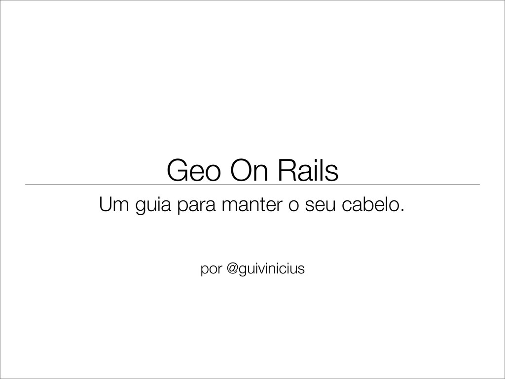
Geo On Rails Um guia para manter o seu cabelo.
por @guivinicius
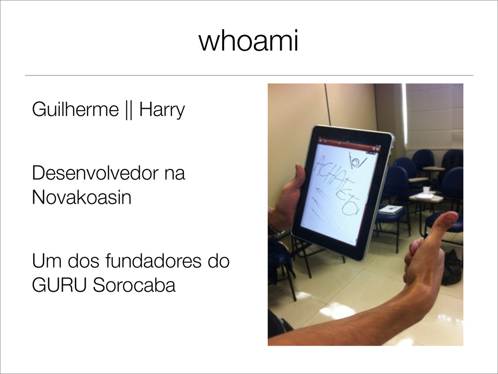
whoami Guilherme || Harry Desenvolvedor na Novakoasin Um dos fundadores
do GURU Sorocaba
Motivo
Objetivo Dar uma visão e as ferramentas para um estudo
detalhado.
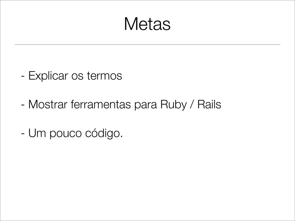
Metas - Explicar os termos - Mostrar ferramentas para Ruby
/ Rails - Um pouco código.
Programação Espacial
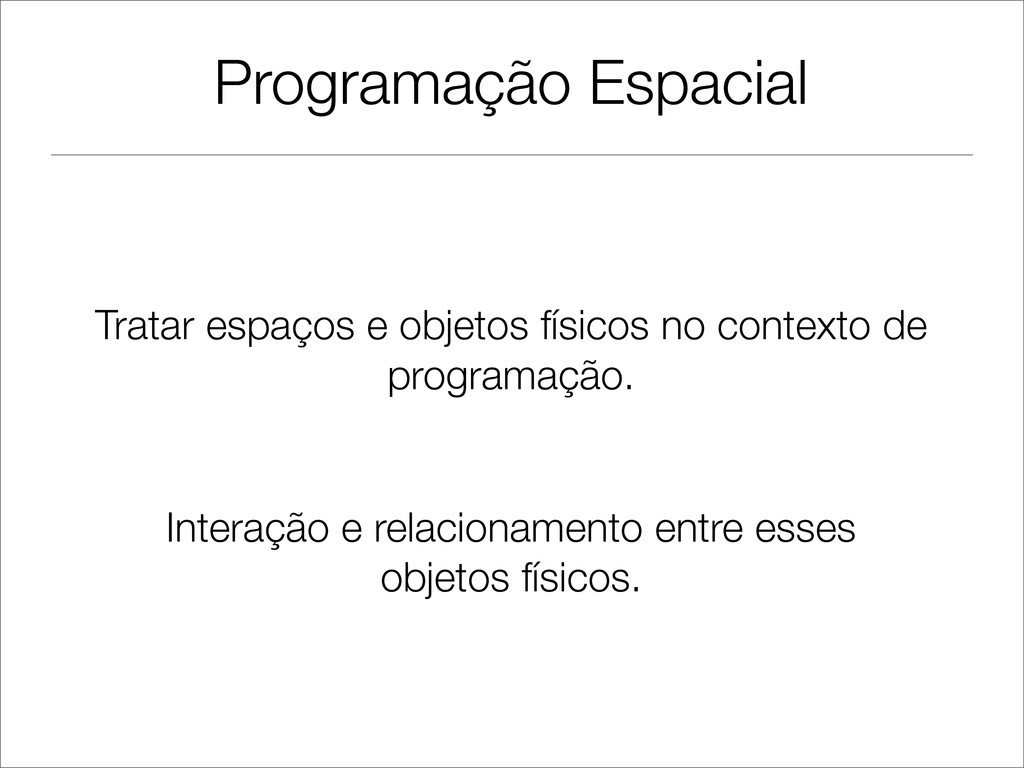
Programação Espacial Tratar espaços e objetos físicos no contexto de
programação. Interação e relacionamento entre esses objetos físicos.
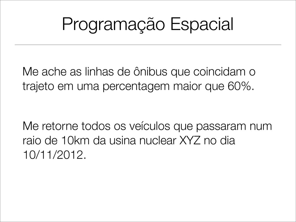
Programação Espacial Me ache as linhas de ônibus que coincidam
o trajeto em uma percentagem maior que 60%. Me retorne todos os veículos que passaram num raio de 10km da usina nuclear XYZ no dia 10/11/2012.
Termos Importantes GIS: Geographical Information System Layers: Camadas WMS: Web
Mapping Service. Projeção: Representação plana do globo. Geometria: Tipo de dados em um GIS.
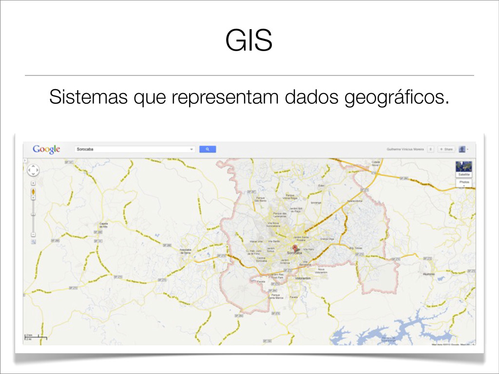
GIS Sistemas que representam dados geográficos.
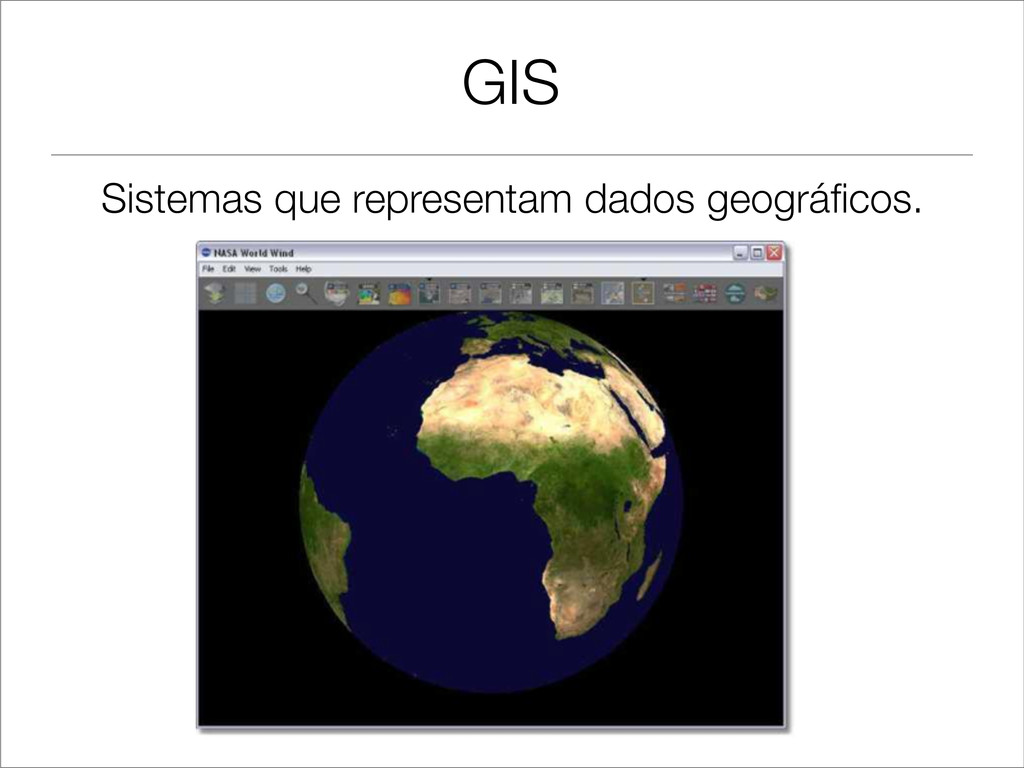
GIS Sistemas que representam dados geográficos.
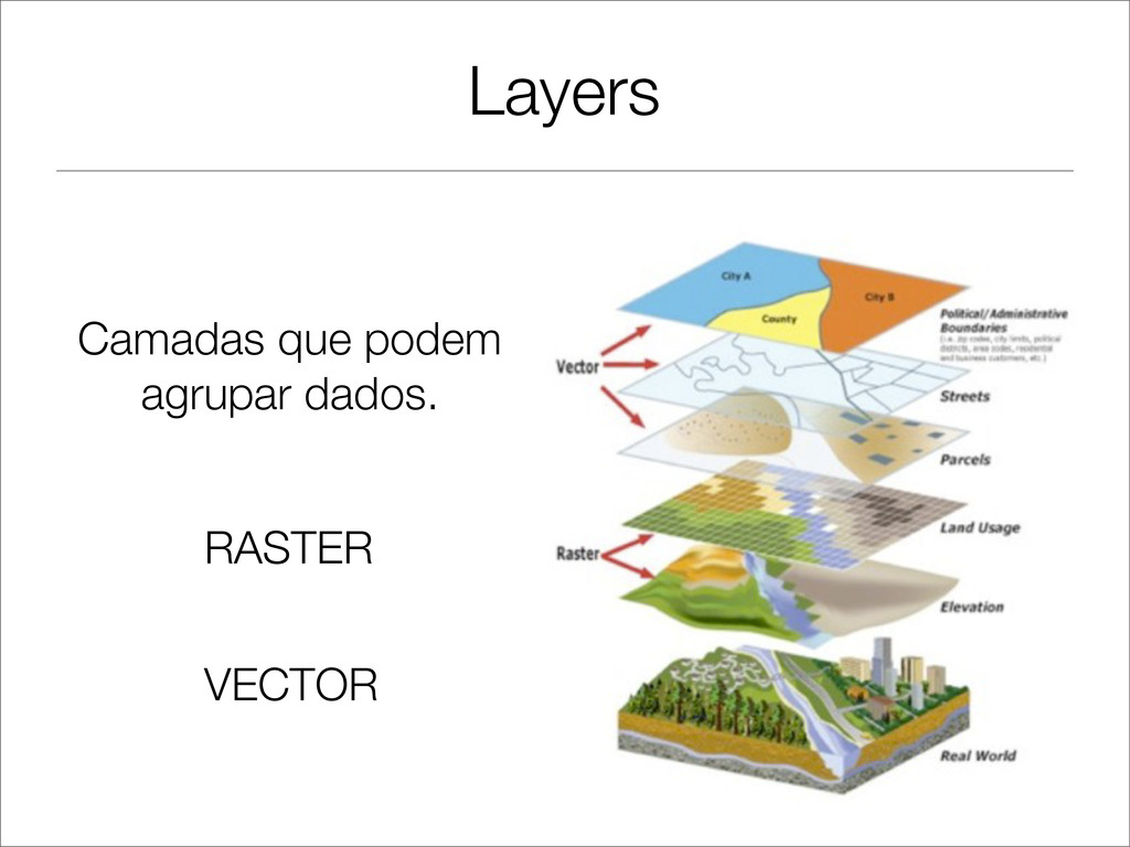
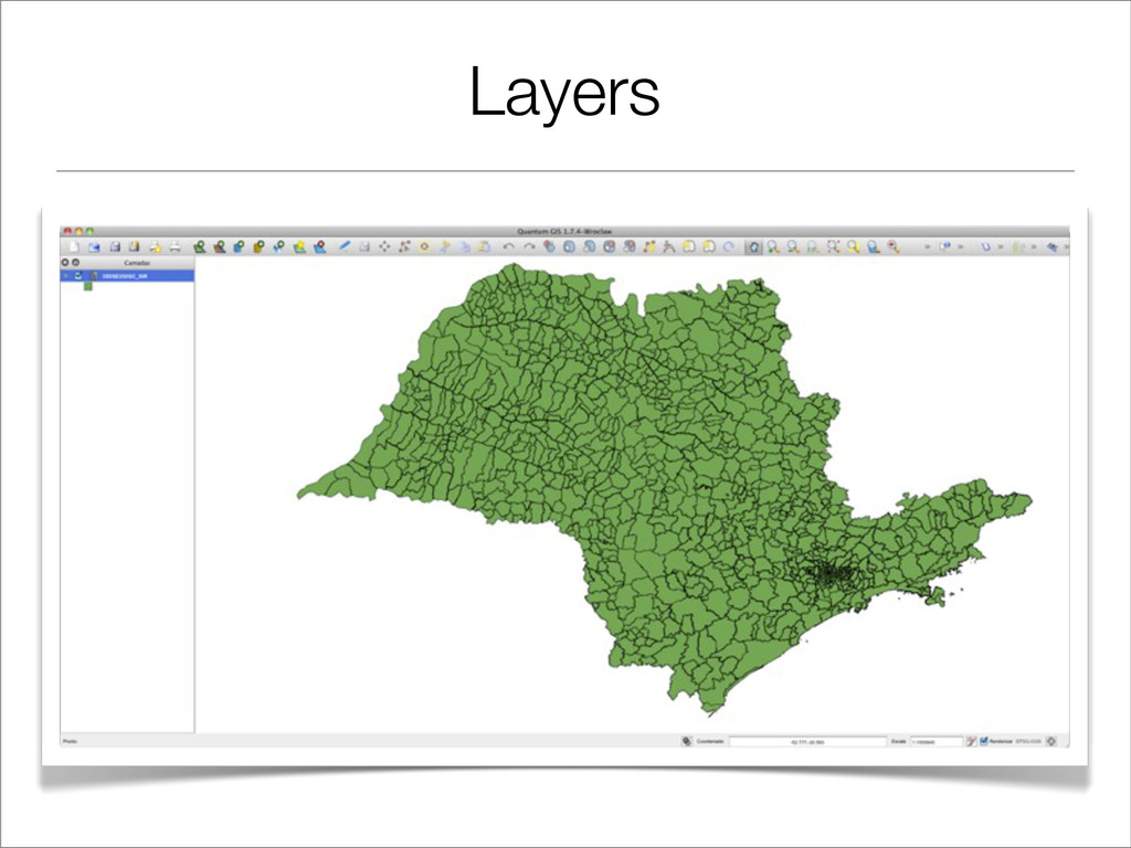
Layers Camadas que podem agrupar dados. RASTER VECTOR
Layers
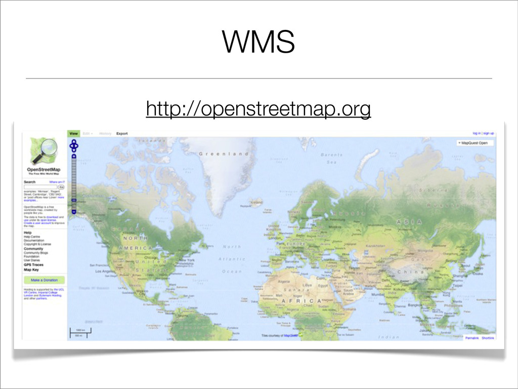
WMS http://openstreetmap.org
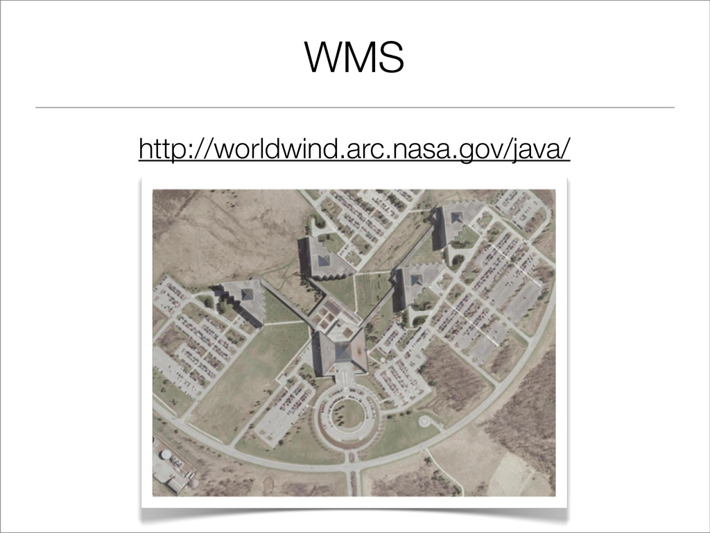
WMS http://worldwind.arc.nasa.gov/java/
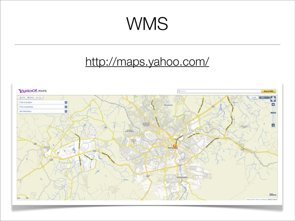
WMS http://maps.yahoo.com/
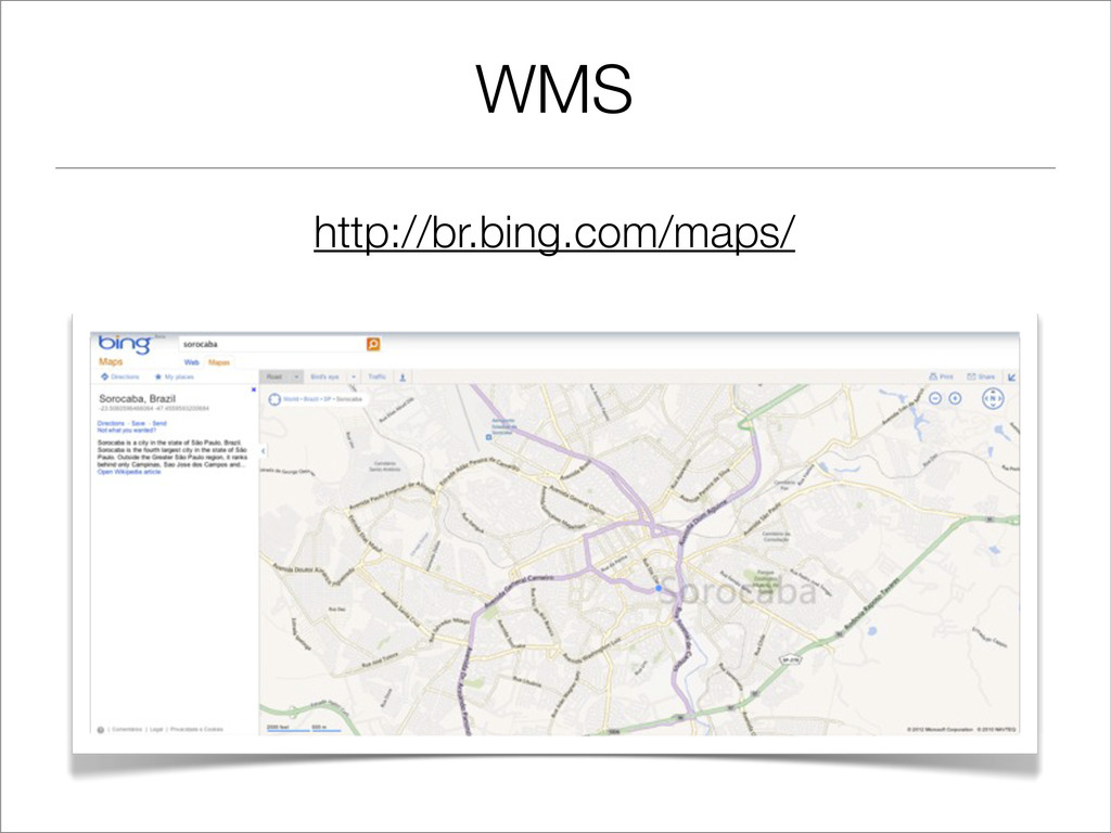
WMS http://br.bing.com/maps/
WMS http://www.mapmatters.org/ ou Mapserver http://mapserver.org/ ou $$ Soluções Privadas $$
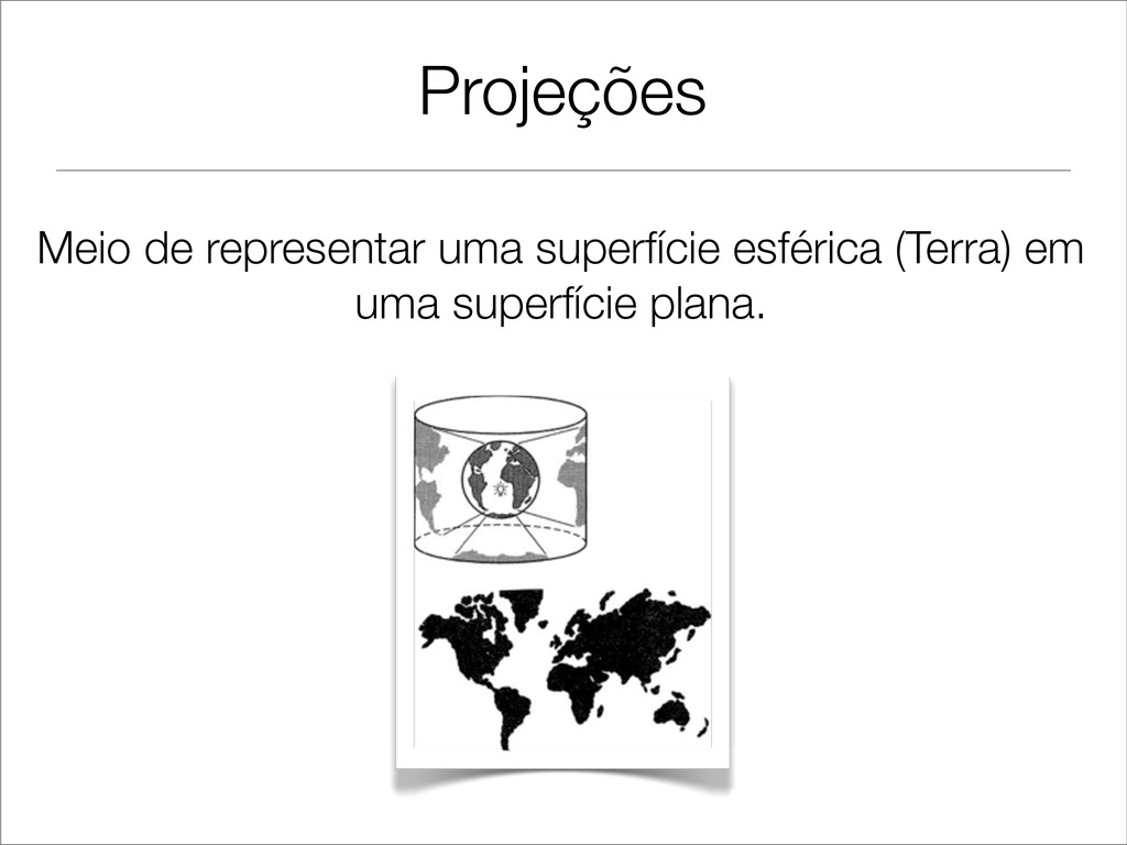
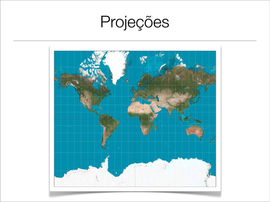
Projeções Meio de representar uma superfície esférica (Terra) em uma
superfície plana.
Projeções
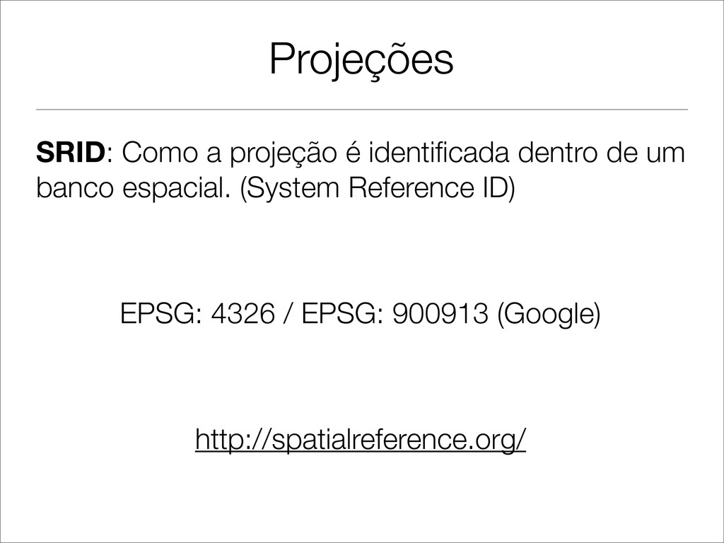
Projeções SRID: Como a projeção é identificada dentro de um
banco espacial. (System Reference ID) EPSG: 4326 / EPSG: 900913 (Google) http://spatialreference.org/
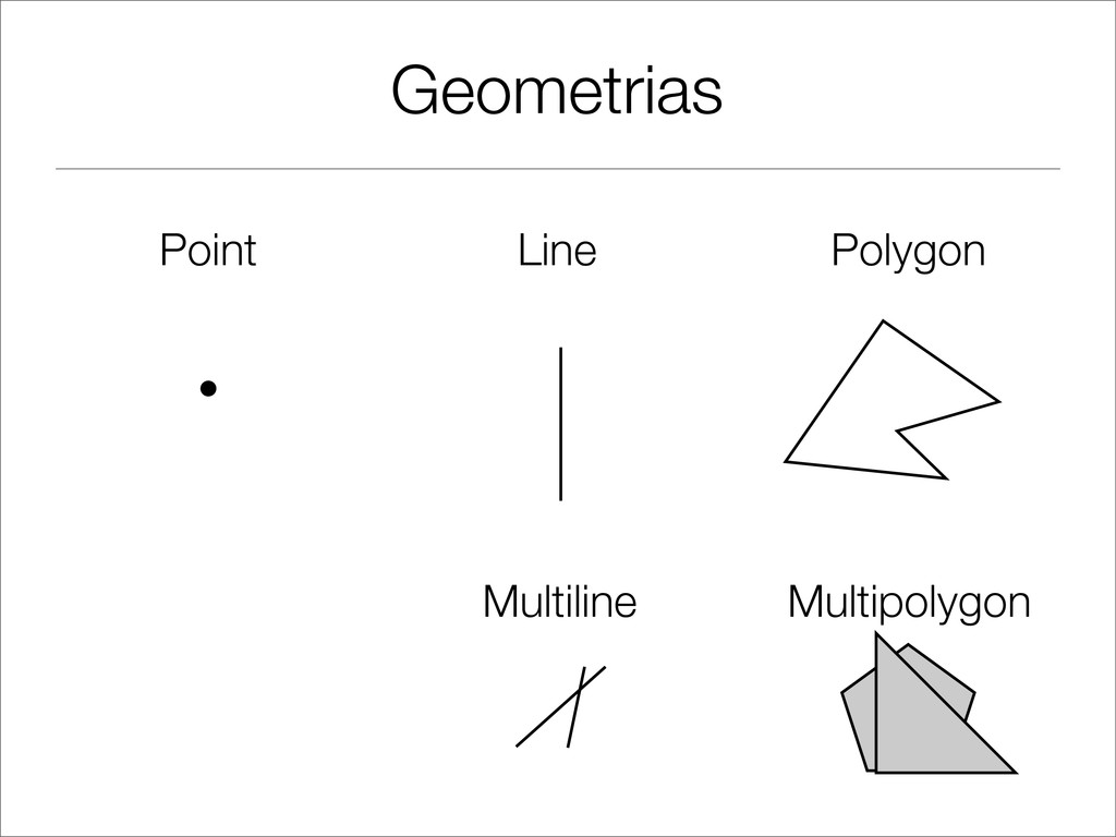
Geometrias Point Line Polygon • Multiline Multipolygon
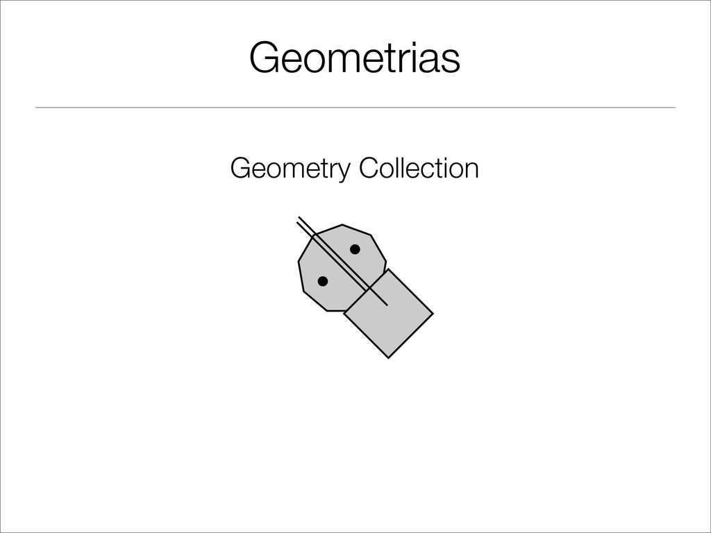
Geometrias Geometry Collection • •
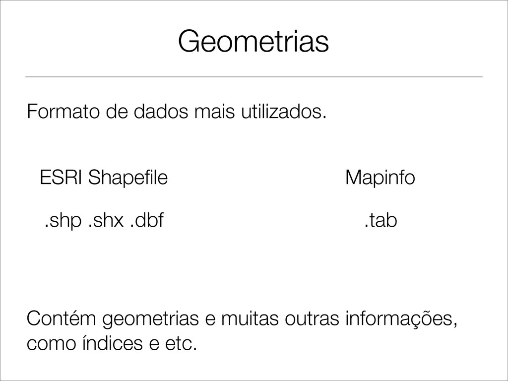
Geometrias ESRI Shapefile Mapinfo Formato de dados mais utilizados. .shp
.shx .dbf .tab Contém geometrias e muitas outras informações, como índices e etc.
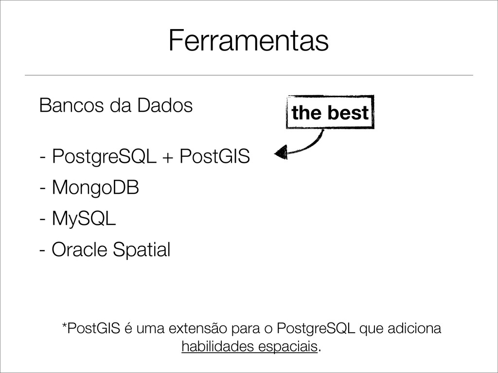
Ferramentas Bancos da Dados - PostgreSQL + PostGIS - MongoDB
- MySQL - Oracle Spatial the best *PostGIS é uma extensão para o PostgreSQL que adiciona habilidades espaciais.
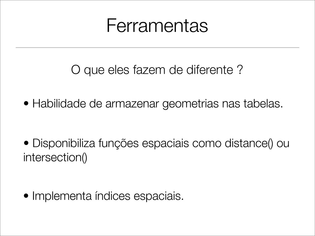
Ferramentas • Habilidade de armazenar geometrias nas tabelas. • Disponibiliza
funções espaciais como distance() ou intersection() • Implementa índices espaciais. O que eles fazem de diferente ?
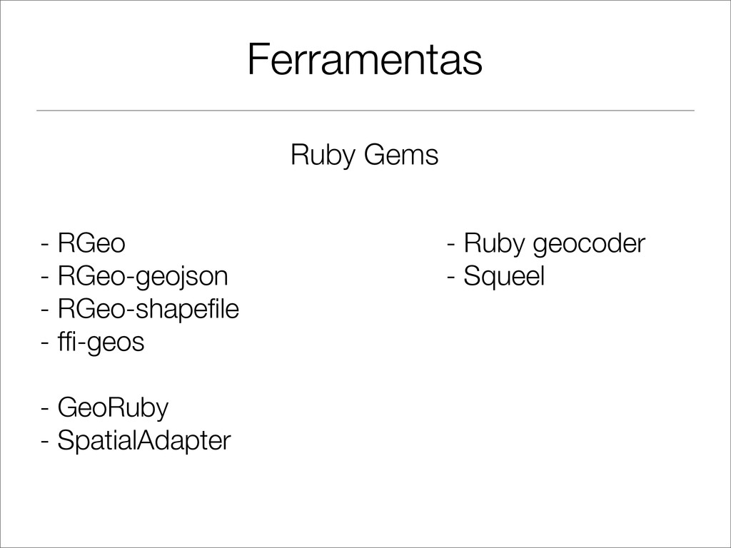
Ferramentas Ruby Gems - RGeo - RGeo-geojson - RGeo-shapefile -
ffi-geos - GeoRuby - SpatialAdapter - Ruby geocoder - Squeel
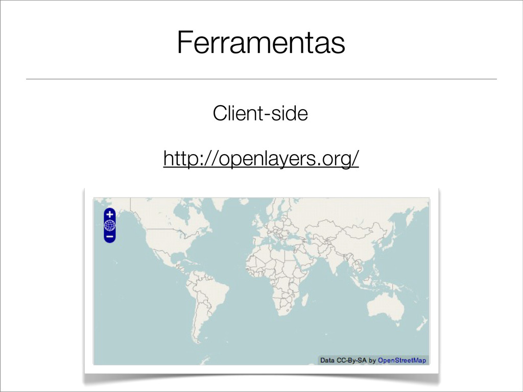
Ferramentas Client-side http://openlayers.org/
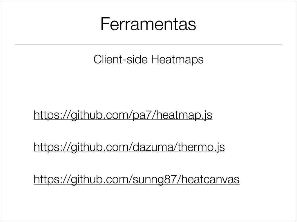
Ferramentas Client-side Heatmaps https://github.com/pa7/heatmap.js https://github.com/dazuma/thermo.js https://github.com/sunng87/heatcanvas
Ferramentas
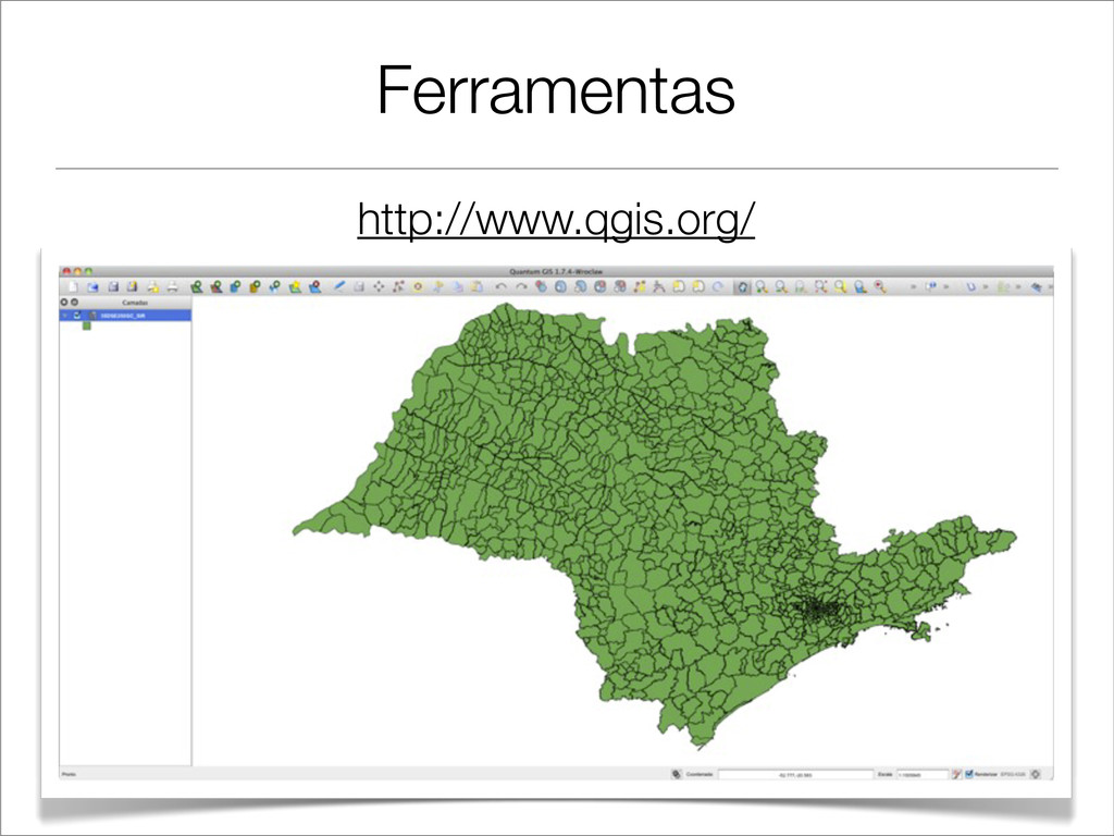
Ferramentas http://www.qgis.org/
Ferramentas http://mapserver.org/ http://www.pgrouting.org/ Publicar dados espaciais na web, criar seu
próprio WMS. Estende o PostgreSQL + PostGIS para algoritmos de roteamento.
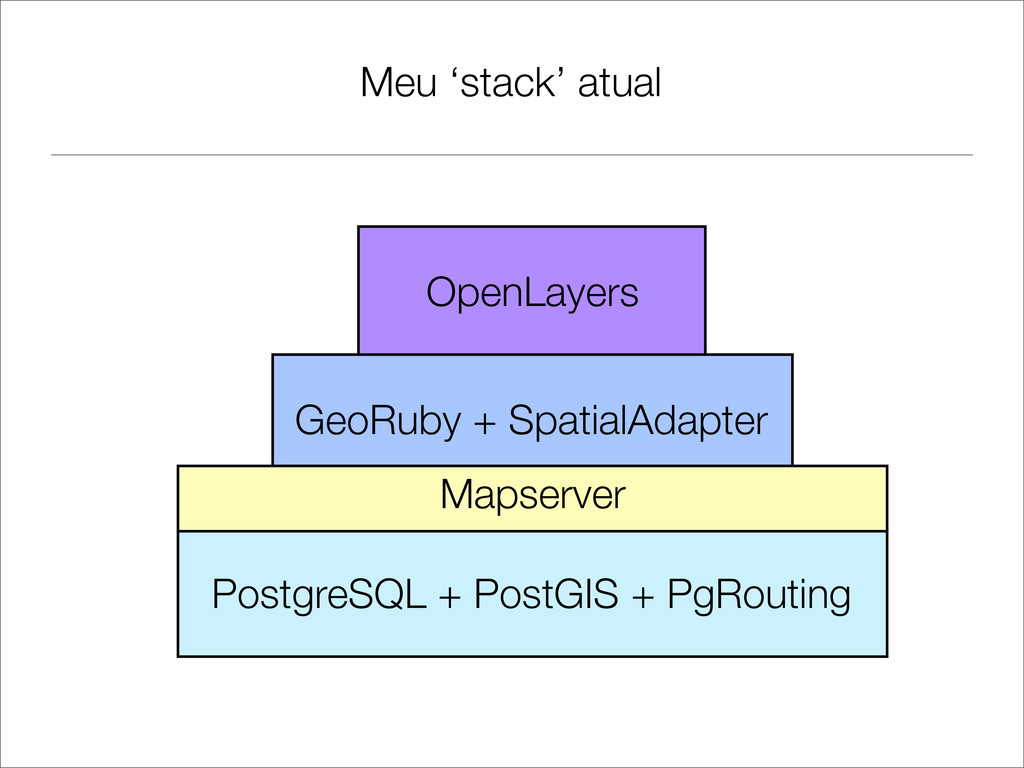
Meu ‘stack’ atual PostgreSQL + PostGIS + PgRouting GeoRuby +
SpatialAdapter OpenLayers Mapserver
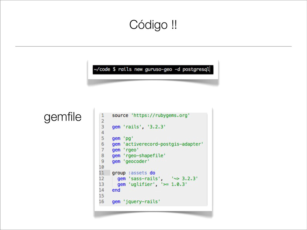
Código !! gemfile
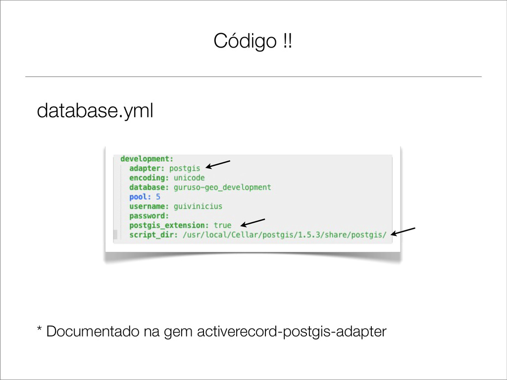
Código !! database.yml * Documentado na gem activerecord-postgis-adapter
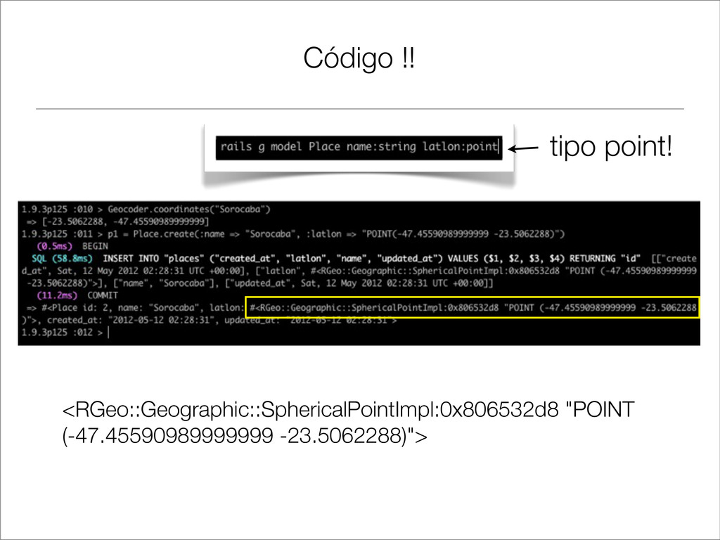
Código !! tipo point! <RGeo::Geographic::SphericalPointImpl:0x806532d8 "POINT (-47.45590989999999 -23.5062288)">
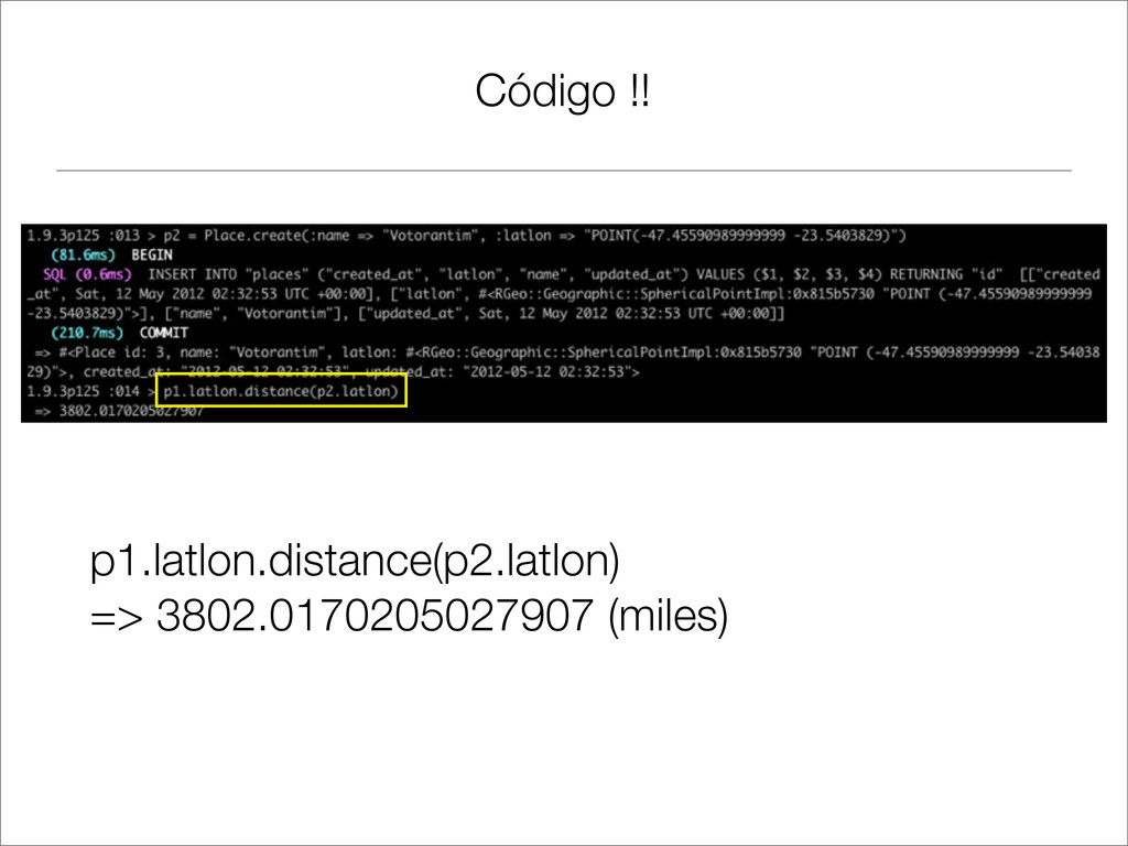
Código !! p1.latlon.distance(p2.latlon) => 3802.0170205027907 (miles)
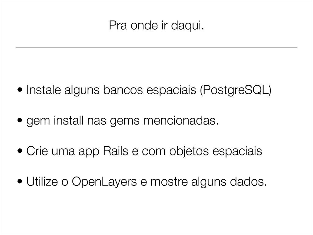
Pra onde ir daqui. • Instale alguns bancos espaciais (PostgreSQL)
• gem install nas gems mencionadas. • Crie uma app Rails e com objetos espaciais • Utilize o OpenLayers e mostre alguns dados.
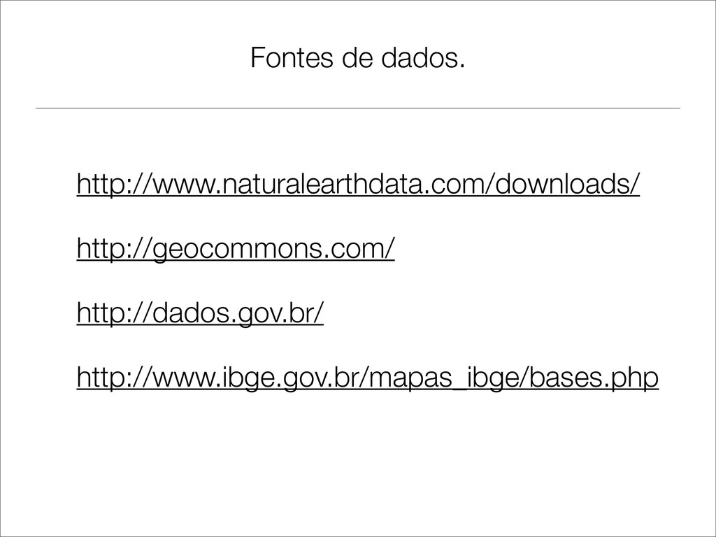
Fontes de dados. http://www.naturalearthdata.com/downloads/ http://geocommons.com/ http://dados.gov.br/ http://www.ibge.gov.br/mapas_ibge/bases.php
Obrigado! @guivinicius @gurusorocaba Perguntas ?