Upgrade to Pro — share decks privately, control downloads, hide ads and more …

Semantic search applied to Earth Observation products

Semantic search applied to Earth Observation products

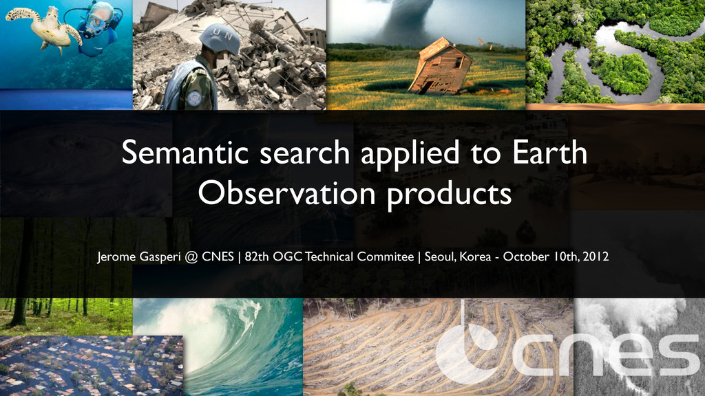
Seoul, Korea - 2012.10.10
82th OGC Technical Comittee

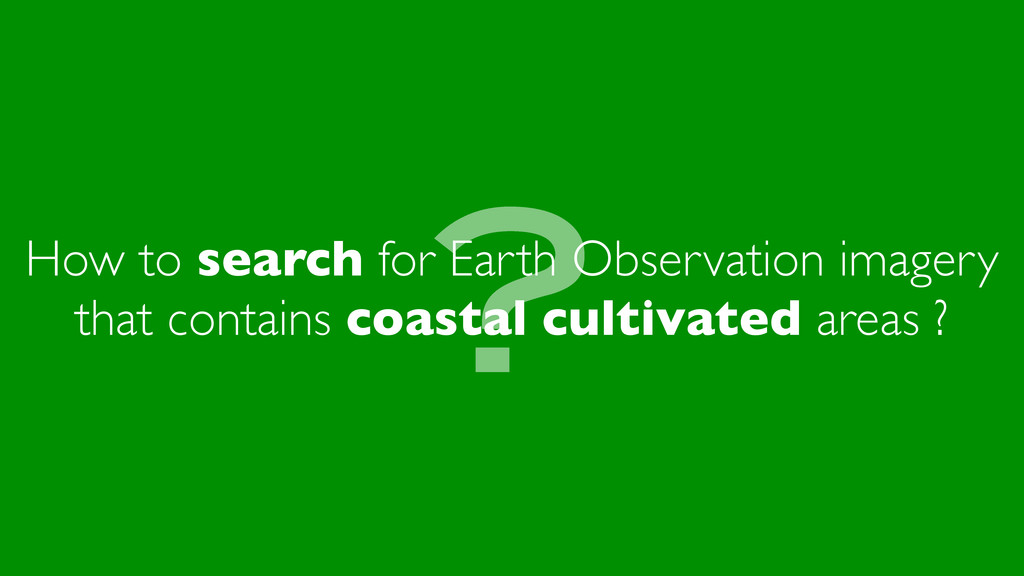
How to search for Earth Observation imagery that contains coastal cultivated areas ?

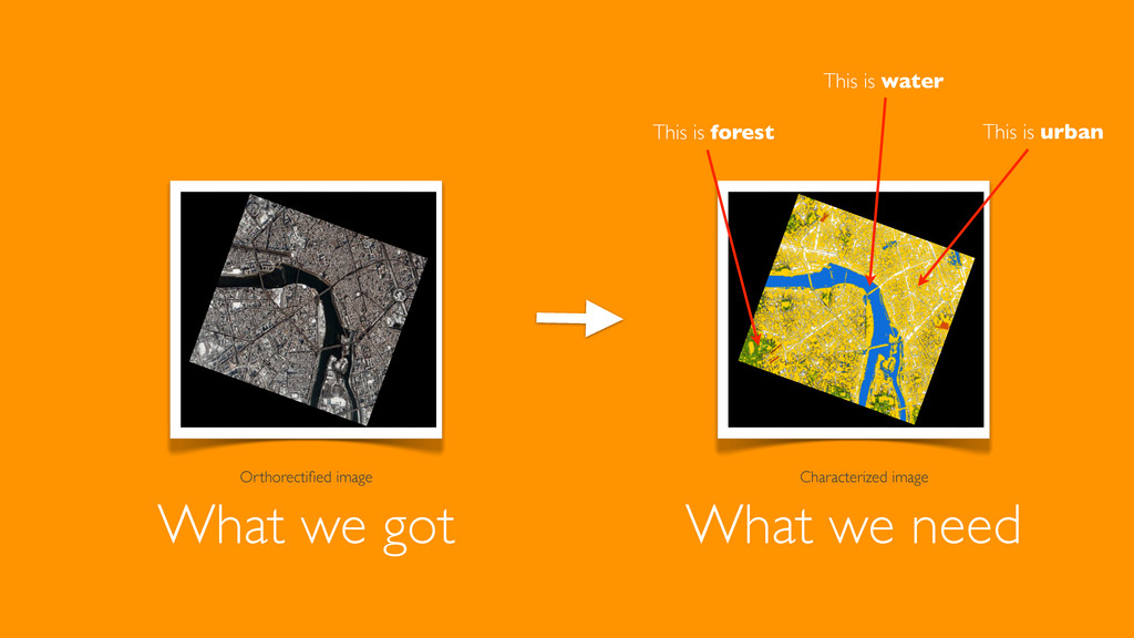
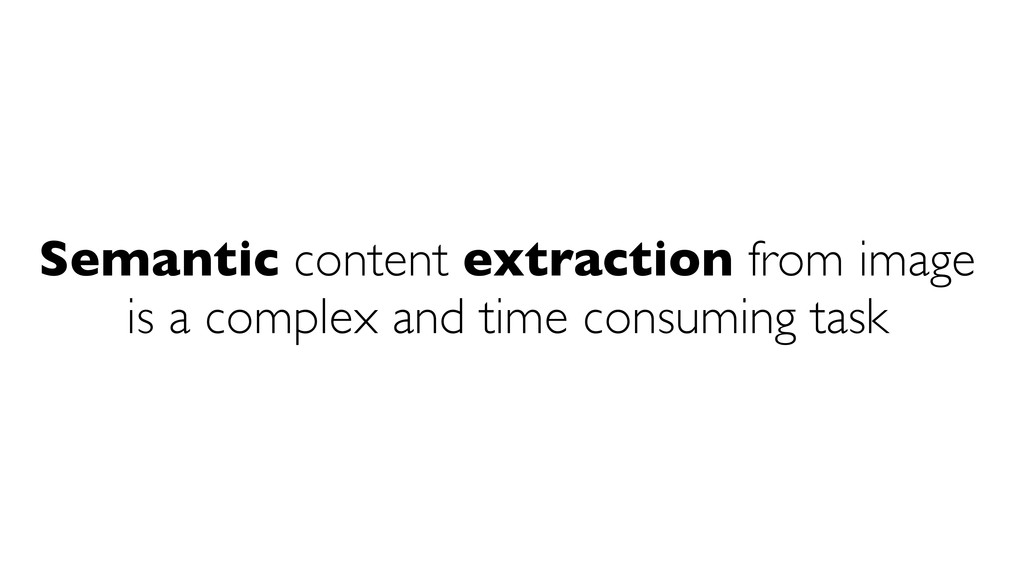
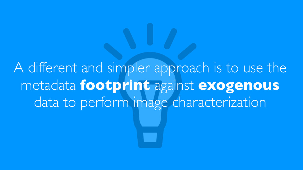
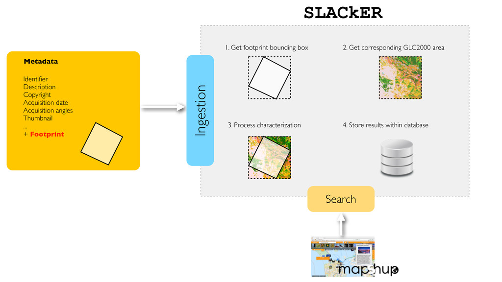
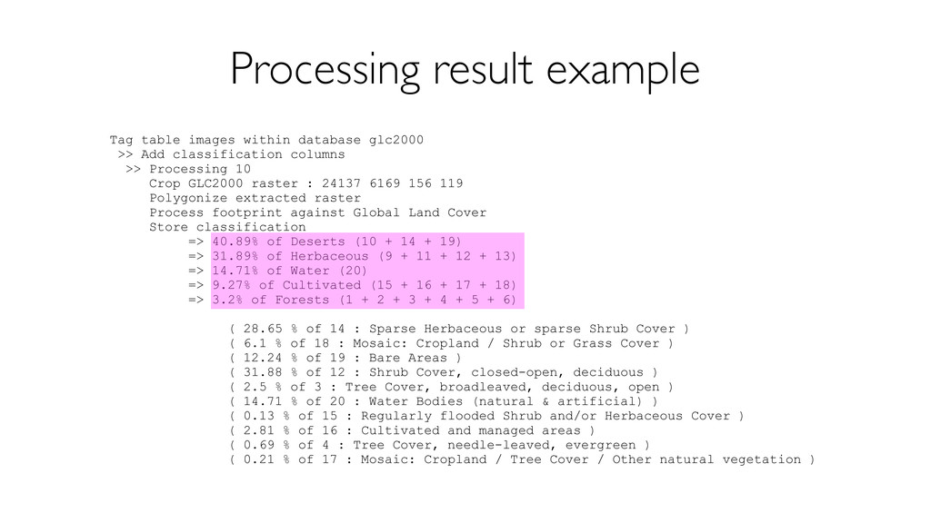
Semantic content extraction from image is a complex and time consuming task. A simpler approach is to use the metadata footprint against exogenous data to perform image characterization.
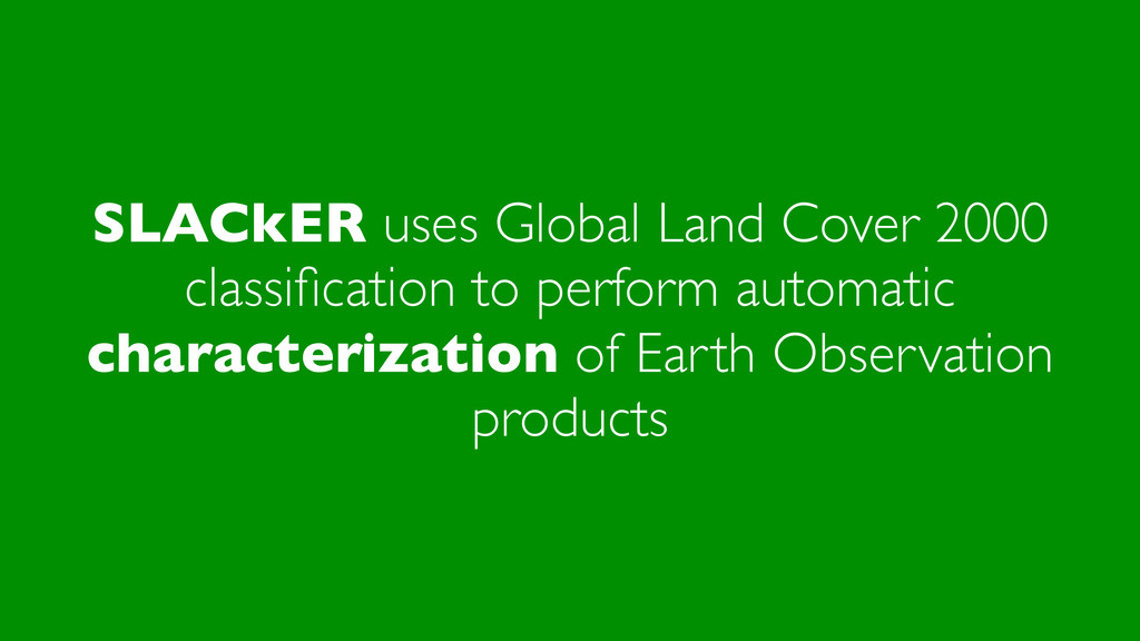
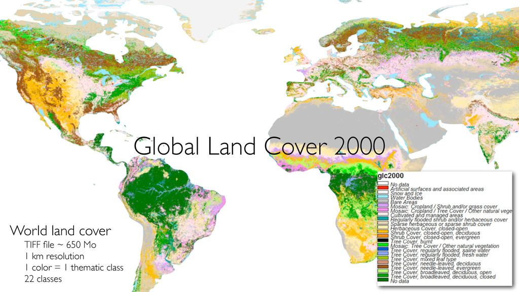
SLACkER (SimpLe Automated Characterization of EaRth observation products) uses Global Land Cover 2000 classification to perform automatically such characterization

Keywords: semantic search, Earth Observation, EO, satellite imagery, mapshup, Land cover

Jérôme Gasperi

October 10, 2012
Tweet

More Decks by Jérôme Gasperi

Other Decks in Technology

Transcript

  1. Semantic search applied to Earth Observation products Jerome Gasperi @

    CNES | 82th OGC Technical Commitee | Seoul, Korea - October 10th, 2012
  2. A different and simpler approach is to use the metadata

    footprint against exogenous data to perform image characterization
  3. SLACkER uses Global Land Cover 2000 classification to perform automatic

    characterization of Earth Observation products
  4. World land cover TIFF file ~ 650 Mo 1 km

    resolution 1 color = 1 thematic class 22 classes Global Land Cover 2000
  5. Metadata Identifier Description Copyright Acquisition date Acquisition angles Thumbnail ...

    + Footprint SLACkER 1. Get footprint bounding box 2. Get corresponding GLC2000 area 3. Process characterization 4. Store results within database Ingestion Search
  6. Tag table images within database glc2000 >> Add classification columns

    >> Processing 10 Crop GLC2000 raster : 24137 6169 156 119 Polygonize extracted raster Process footprint against Global Land Cover Store classification => 40.89% of Deserts (10 + 14 + 19) => 31.89% of Herbaceous (9 + 11 + 12 + 13) => 14.71% of Water (20) => 9.27% of Cultivated (15 + 16 + 17 + 18) => 3.2% of Forests (1 + 2 + 3 + 4 + 5 + 6) ( 28.65 % of 14 : Sparse Herbaceous or sparse Shrub Cover ) ( 6.1 % of 18 : Mosaic: Cropland / Shrub or Grass Cover ) ( 12.24 % of 19 : Bare Areas ) ( 31.88 % of 12 : Shrub Cover, closed-open, deciduous ) ( 2.5 % of 3 : Tree Cover, broadleaved, deciduous, open ) ( 14.71 % of 20 : Water Bodies (natural & artificial) ) ( 0.13 % of 15 : Regularly flooded Shrub and/or Herbaceous Cover ) ( 2.81 % of 16 : Cultivated and managed areas ) ( 0.69 % of 4 : Tree Cover, needle-leaved, evergreen ) ( 0.21 % of 17 : Mosaic: Cropland / Tree Cover / Other natural vegetation ) Processing result example
  7. Segmentation+classification processing with OTB* Additionnaly, provide a "true" WPS classification

    service based on the OTB suite service *OTB is the Orfeo ToolBox - http://www.orfeo-toolbox.org/otb/