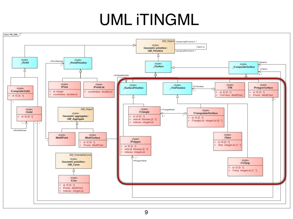
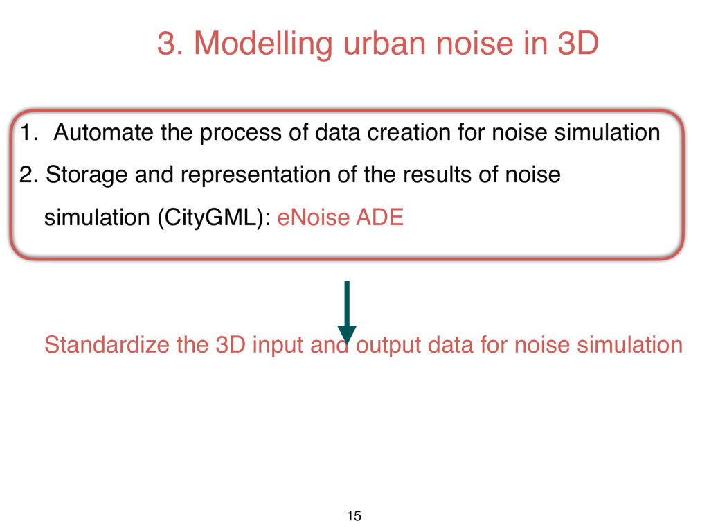
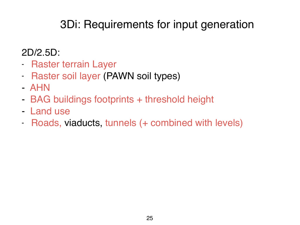
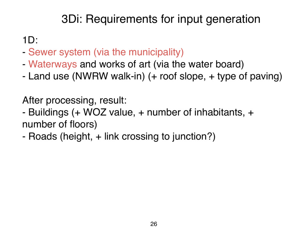
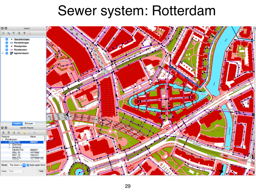
(via the municipality) - Waterways and works of art (via the water board) - Land use (NWRW walk-in) (+ roof slope, + type of paving) After processing, result: - Buildings (+ WOZ value, + number of inhabitants, + number of floors) - Roads (height, + link crossing to junction?)
![Thank you!!! Suggestions are welcomed: Kavisha Kumar [email protected] 31](https://files.speakerdeck.com/presentations/6e1a62210cdd4ee3b5b396d159d84539/slide_30.jpg)