Upgrade to Pro — share decks privately, control downloads, hide ads and more …

Raised Relief Maps in the Digital Age

Avatar for vW Maps vW Maps
November 16, 2015

Raised Relief Maps in the Digital Age

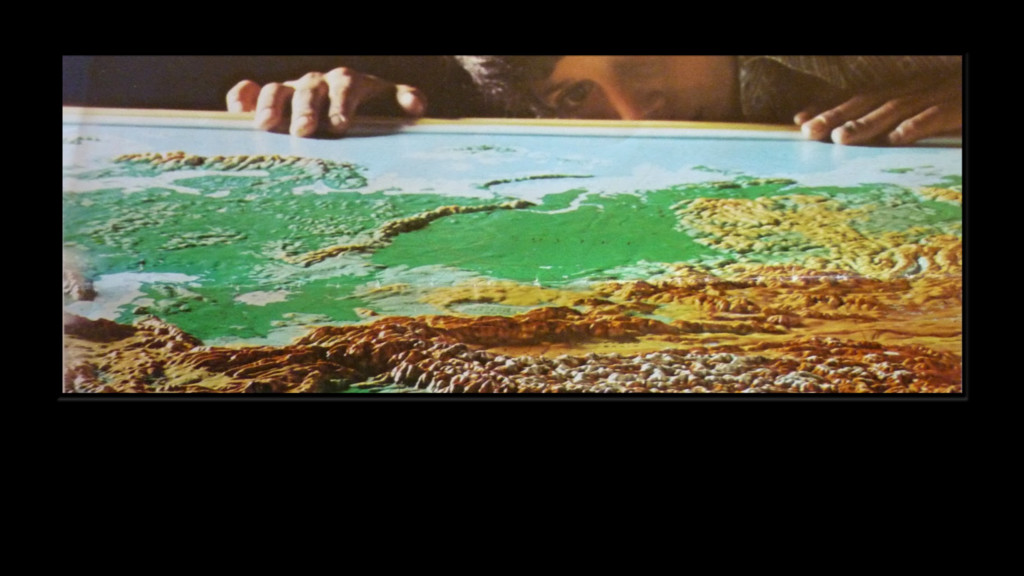
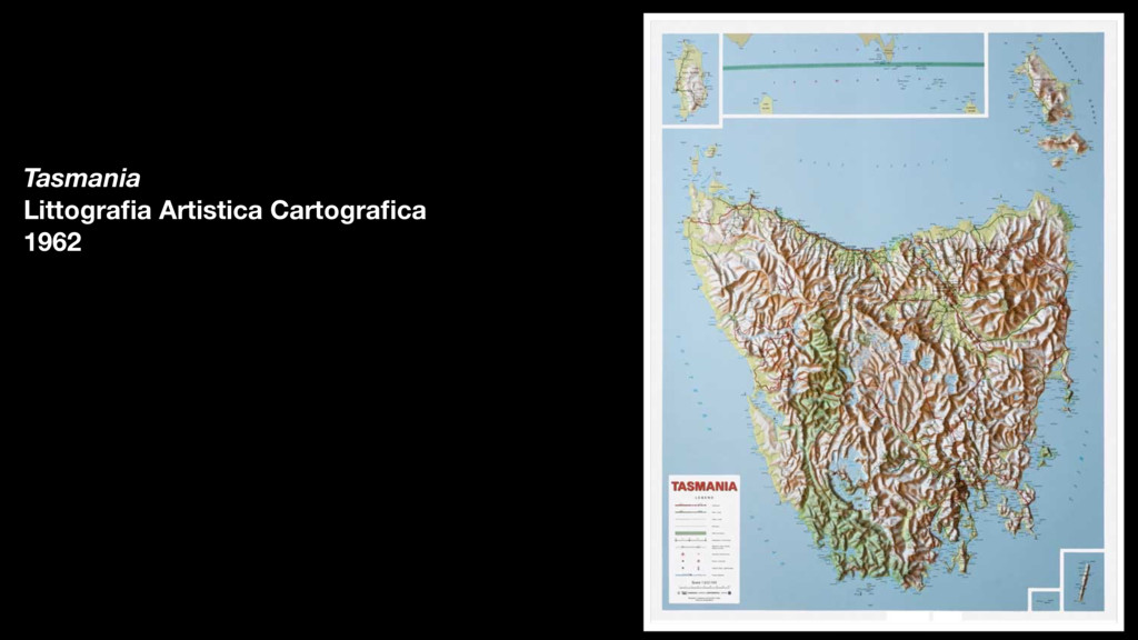
Many of us have fond memories of viewing raised relief maps at park visitor centres, in museums or in the classroom. Perhaps we were fascinated by the geographical overview they afforded us, the miniaturisation of the landscape, or simply the You Are Here button that lighted a globe.

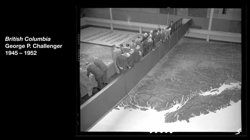
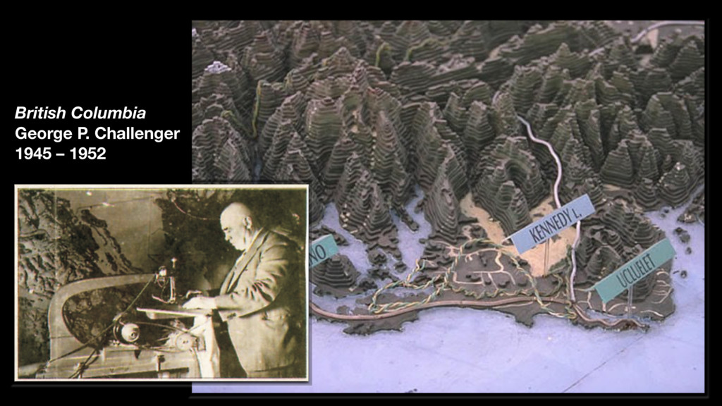
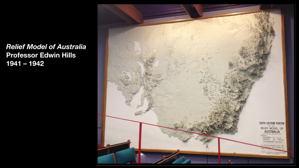
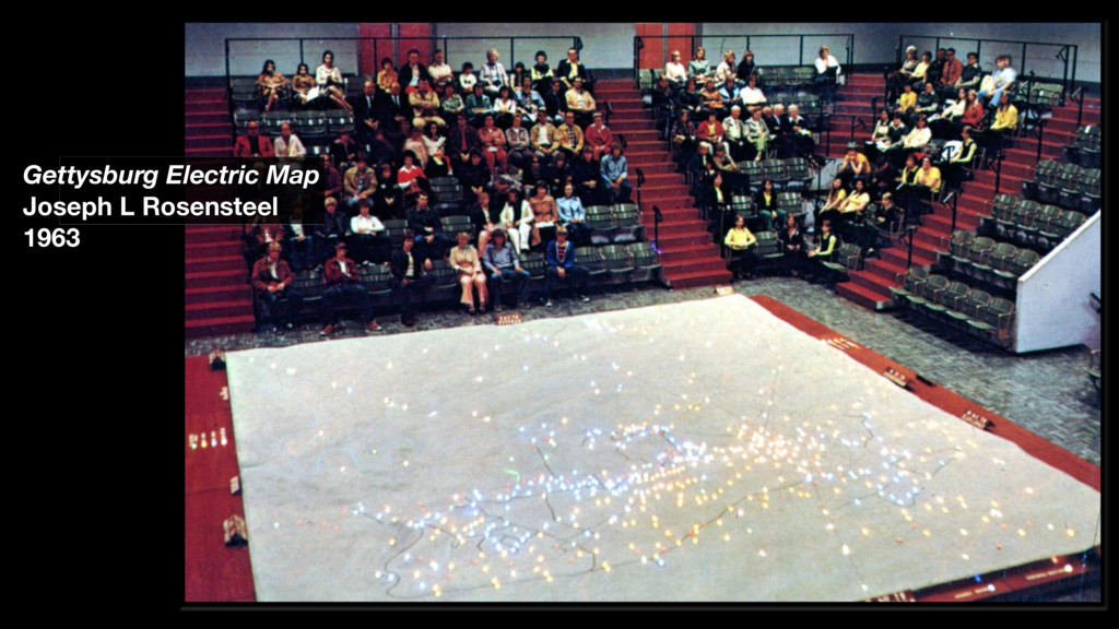
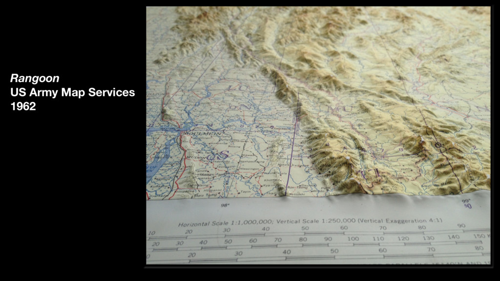
An overview of a few notable raised relief maps —or landform maps or terrain models— reveals a rich variety of uses. How and for what purposes were these terrain maps made?

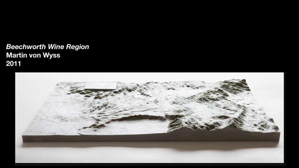
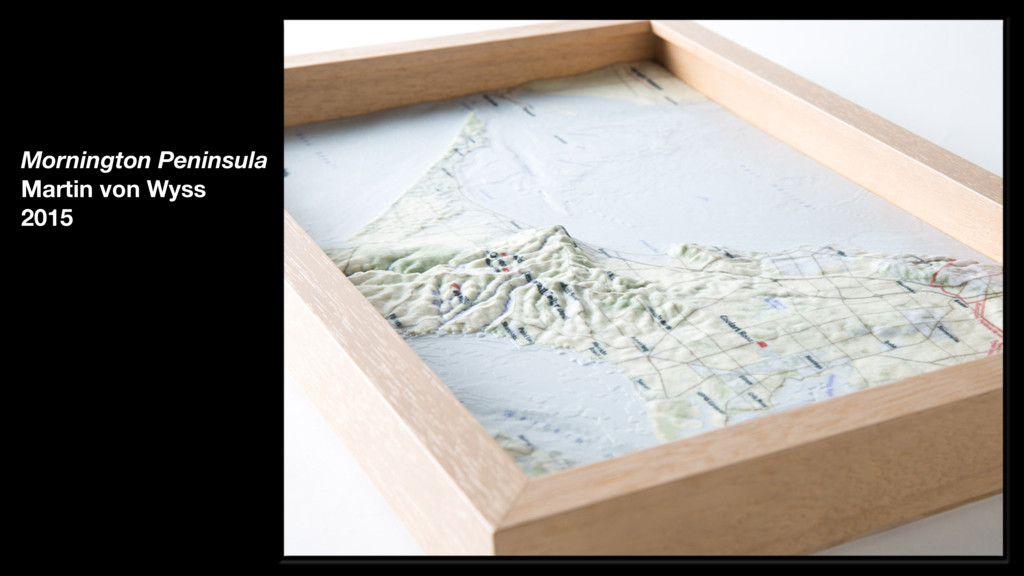
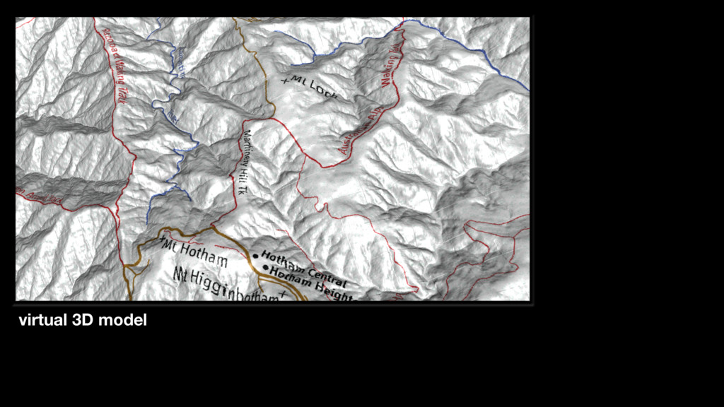
Today cartographers have the ability to build terrain models without getting plaster or concrete on their hands. Digital elevation models, geographic information systems software, and 3D printing can replicate what geographer/artists have been making over the past two thousand years. What are some other benefits from the digital process? What are the shortcomings? What has changed with digital terrain mapping?

I will outline a process for making a 3D map, including the data, the software and the hardware, touching on some potential pratfalls and challenges. And I will ask, in the age of GPS maps in our pockets and virtual 3D map animations on our computers, is there a future for raised relief maps?

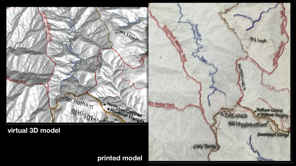
Avatar for vW Maps

vW Maps

November 16, 2015

More Decks by vW Maps

Other Decks in Technology

Transcript

  1. Raised Relief Maps in the Digital Age Martin von Wyss

    @vWMaps IMIA Asia Pacific, Brisbane November 16, 2015
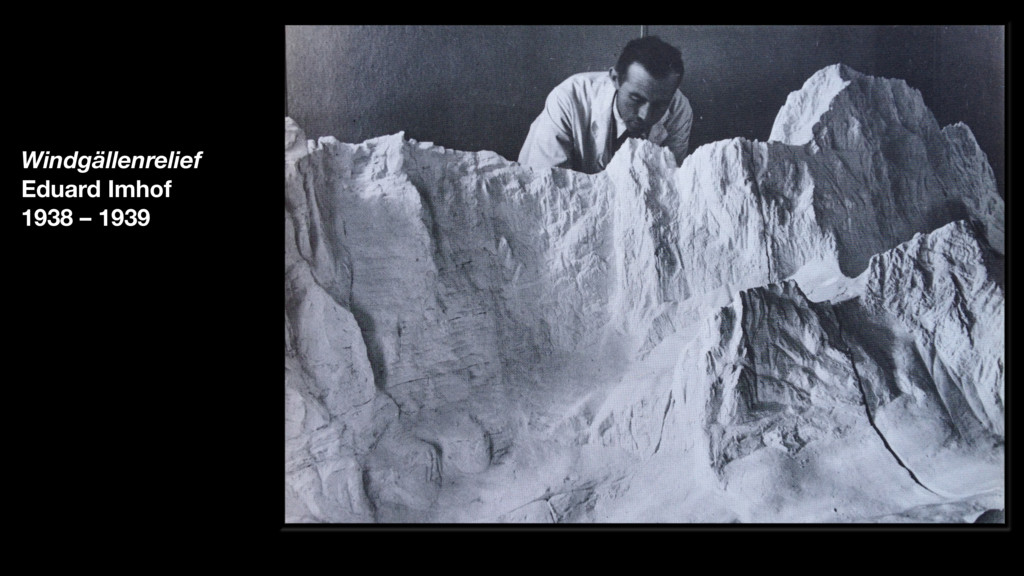
  2. The terrain model can be contemplated from all directions, from
    the side, from above, and under different lighting conditions. … Raised relief maps are therefore particularly well-suited for landscape- and map-reading assignments. —Eduard Imhof, Gelände und Karte, 1968
  3. “An Army Sergeant (Orlando Dutton) who was employed made any
    obvious adjustments to the final model before the final casting was produced.” —Prof E. B. Joyce, The Victorian Geologist, March 2007
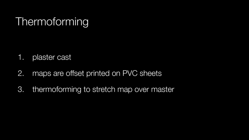
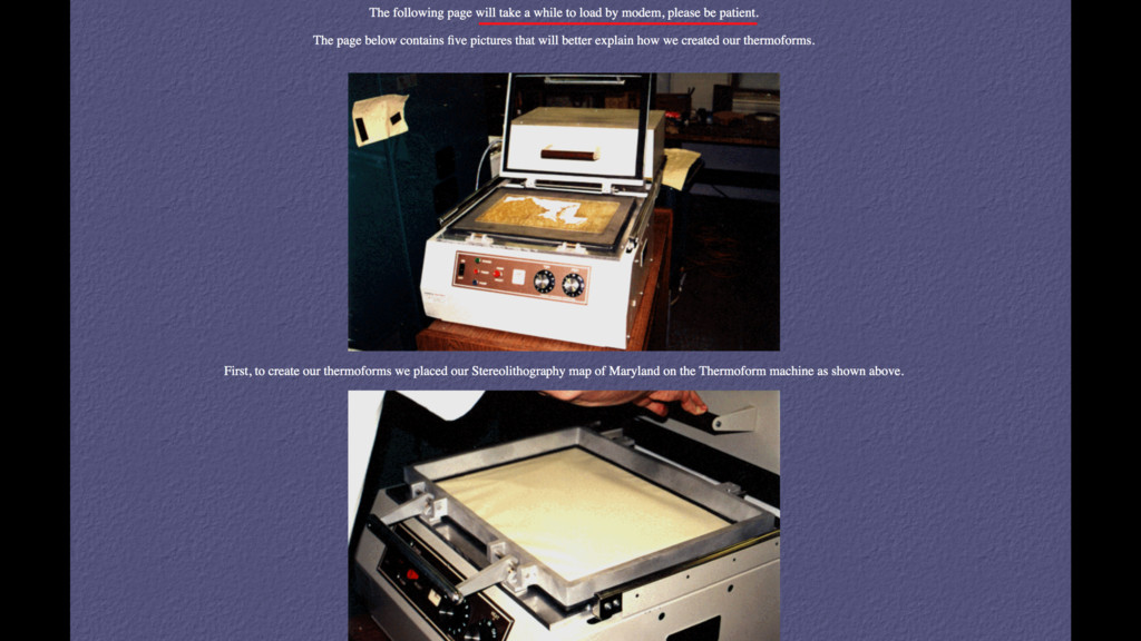
  4. Thermoforming 1. plaster cast 2. maps are offset printed on

    PVC sheets 3. thermoforming to stretch map over master
  5. “It is a matter of experience of our technicians …

    [who do a] little hand touch-up of the plaster cast” —former technical director, personal correspondence
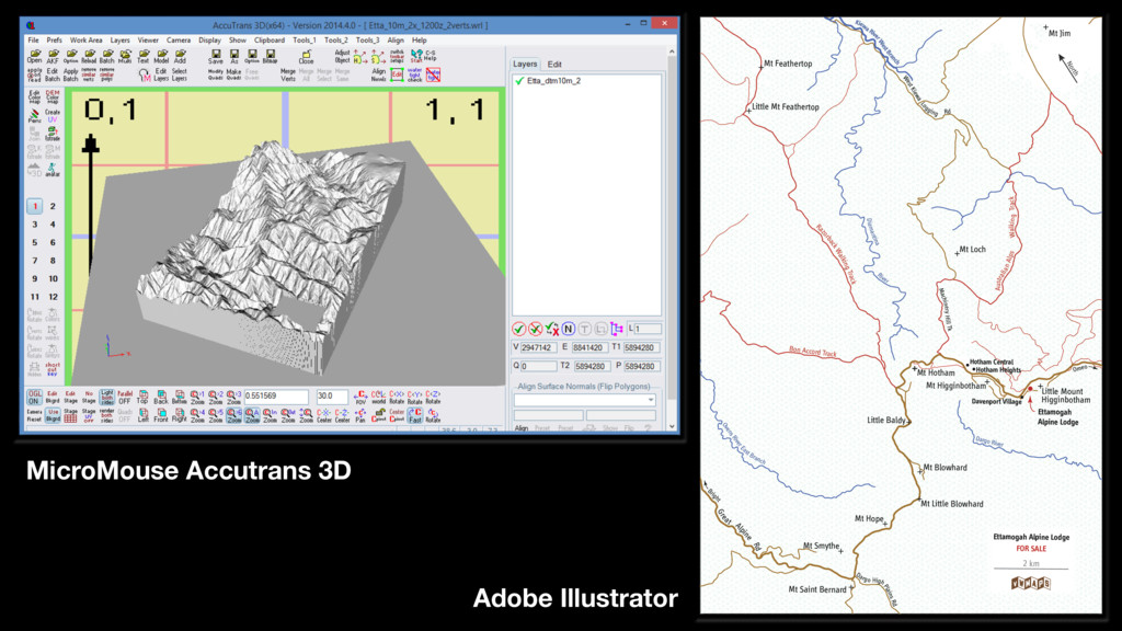
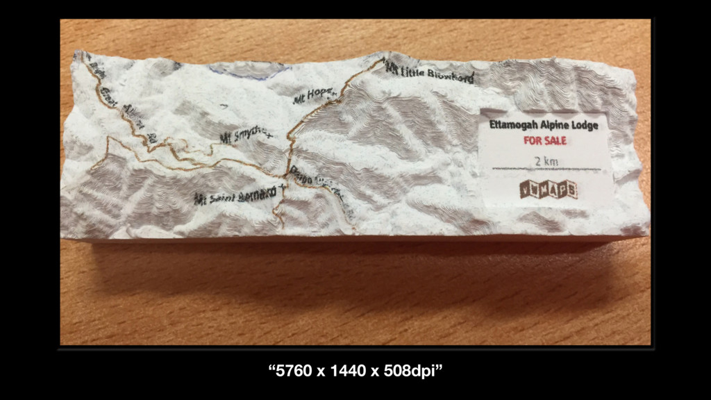
  6. MicroMouse Accutrans 3D Adobe Illustrator Bon Accord Track Ovens River

    Ea st Branch Diamantina River Kiewa Rive r West Branch Dargo River Walking Track Machinery Hill Tk Alpine Bright Rd West Kiewa Lo gging Rd Australian Alps Gre at Omeo Dargo High Plains Rd R azorback Walking Track Mt Smythe Mt Saint Bernard Mt Loch Mt Little Blowhard Mt Jim Mt Hotham Mt Hope Mt Feathertop Mt Blowhard Little Mount Higginbotham Little Mt Feathertop Little Baldy Mt Higginbotham Ettamogah Alpine Lodge Davenport Village Hotham Heights Hotham Central 2 km Ettamogah Alpine Lodge FOR SALE North
  7. Early Days 1. still expensive 2. process is immature: the

    service bureaus don’t have specifications
  8. Early Days 1. still expensive 2. process is immature: the

    service bureaus don’t have specifications 3. the quality isn’t there yet
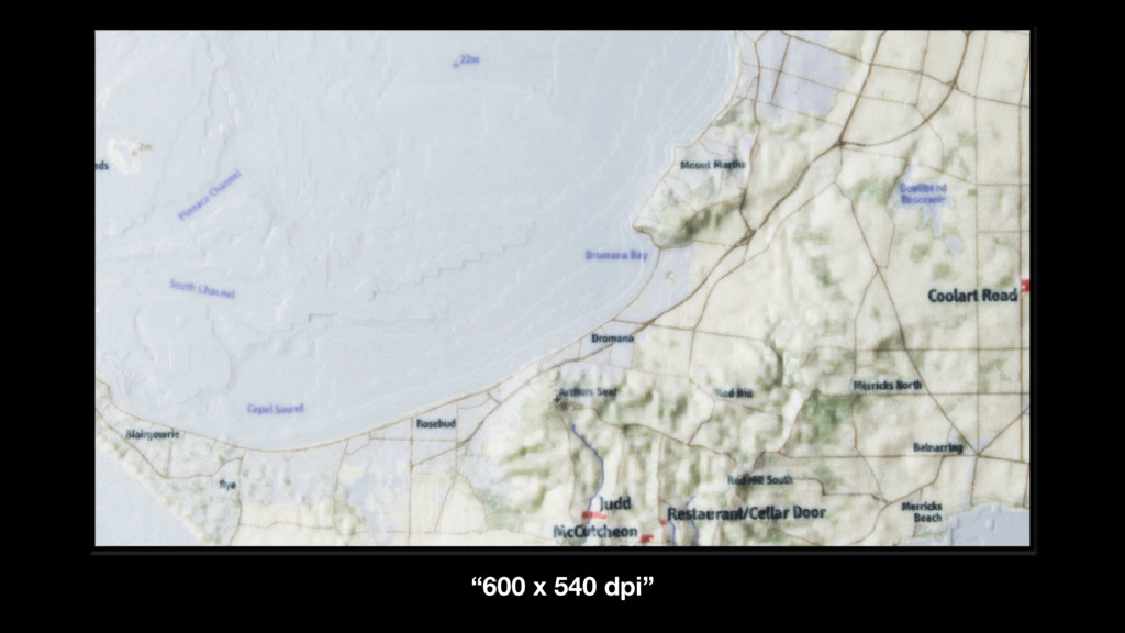
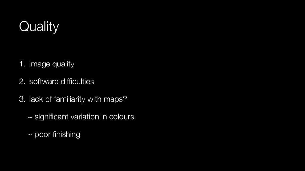
  9. Quality 1. image quality 2. software difficulties 3. lack of

    familiarity with maps? ~ significant variation in colours ~ poor finishing
  10. How do 3D-printed Terrain Models Differ? 1. The computer! 2.

    Accuracy 3. Reproductions 4. Data, Data, Data
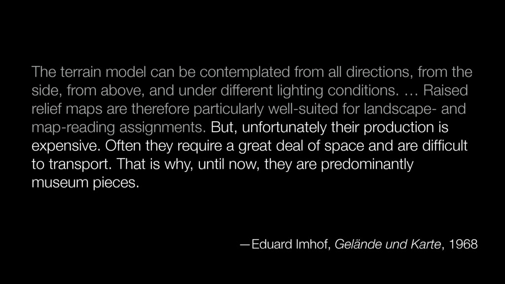
  11. The terrain model can be contemplated from all directions, from

    the side, from above, and under different lighting conditions. … Raised relief maps are therefore particularly well-suited for landscape- and map-reading assignments. But, unfortunately their production is expensive. Often they require a great deal of space and are difficult to transport. That is why, until now, they are predominantly museum pieces. —Eduard Imhof, Gelände und Karte, 1968