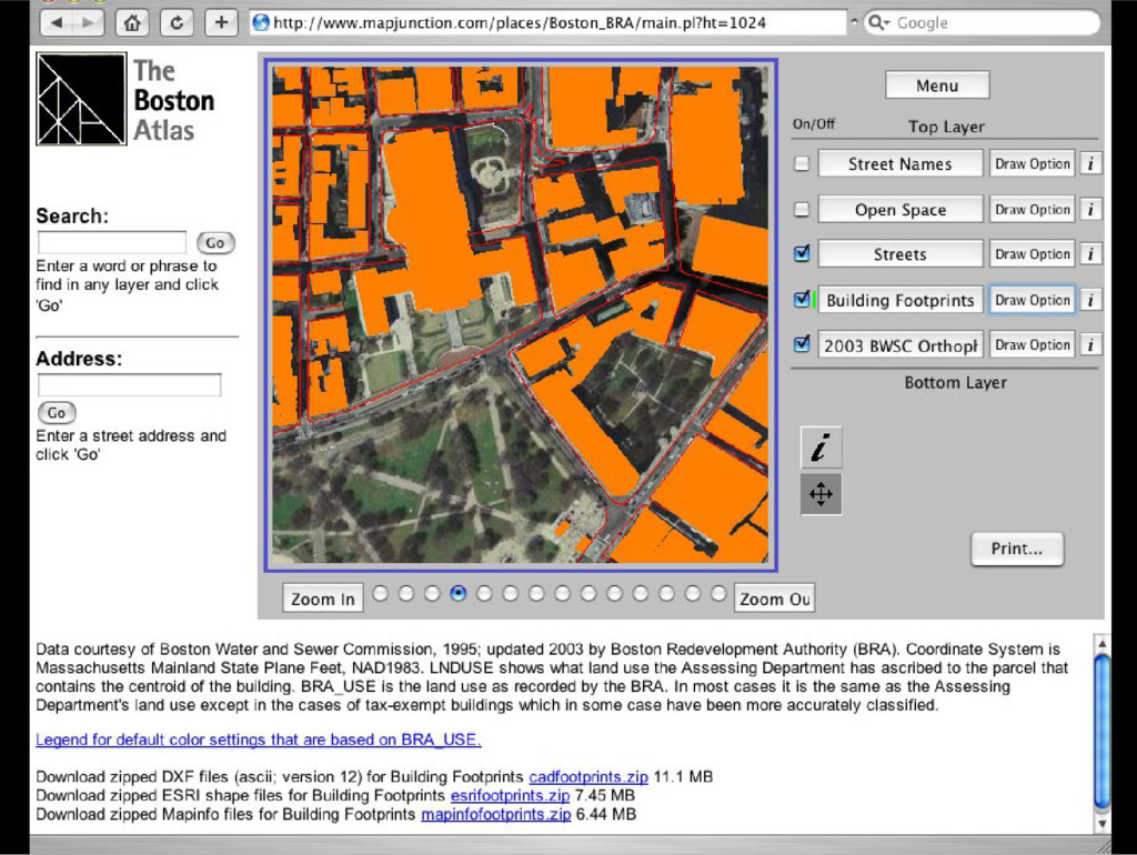
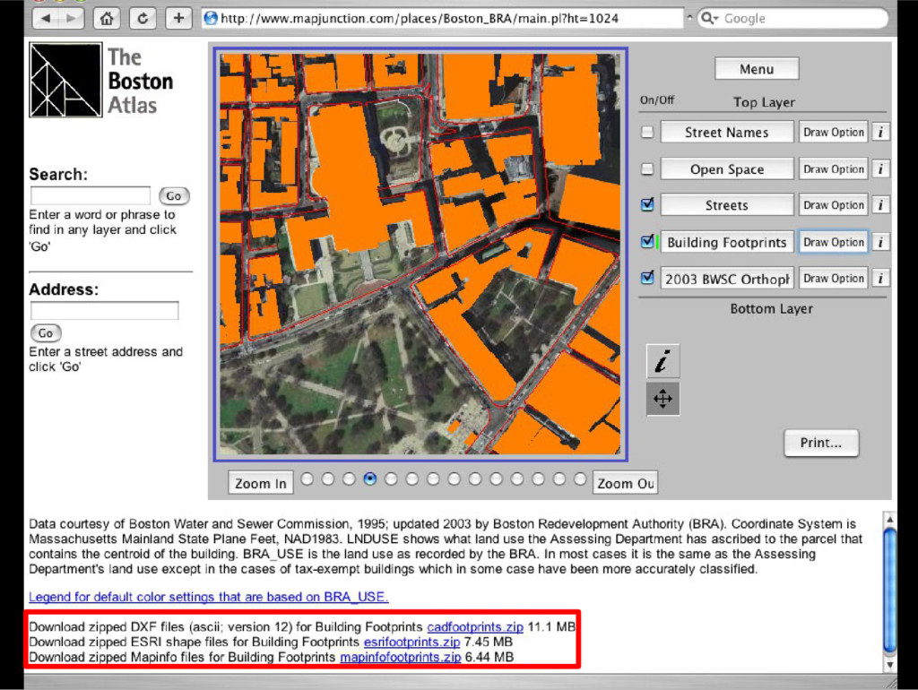
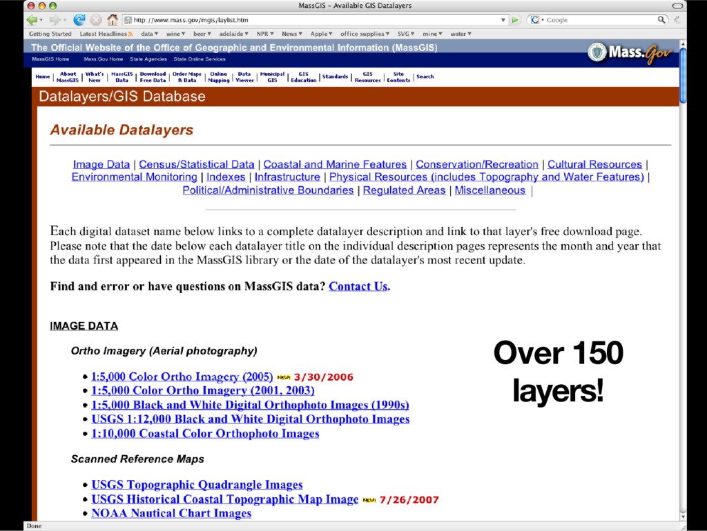
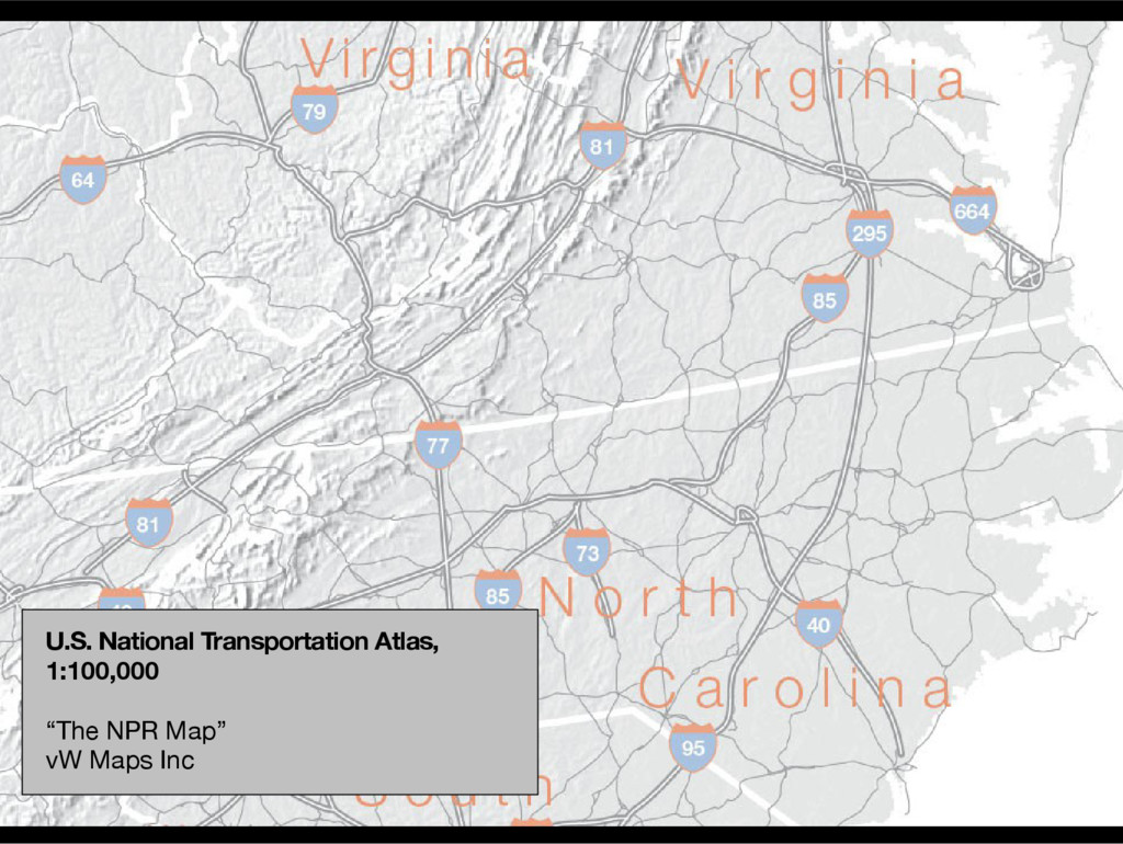
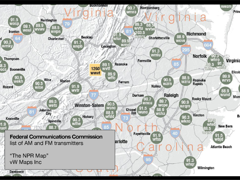
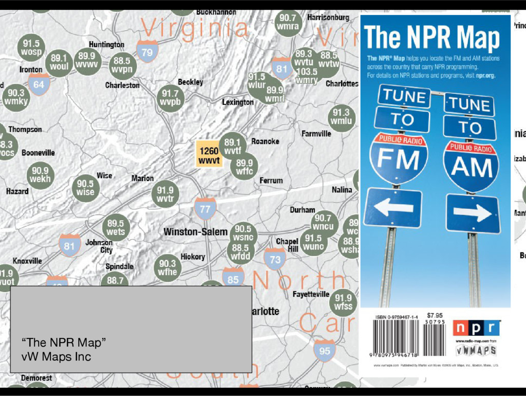
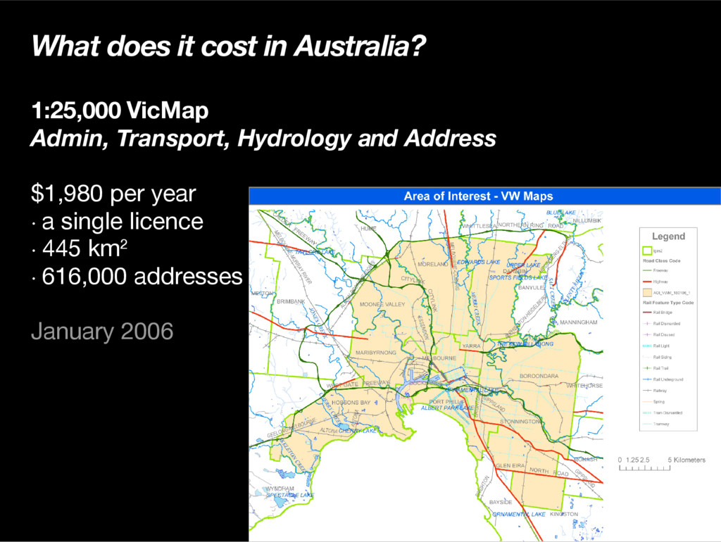
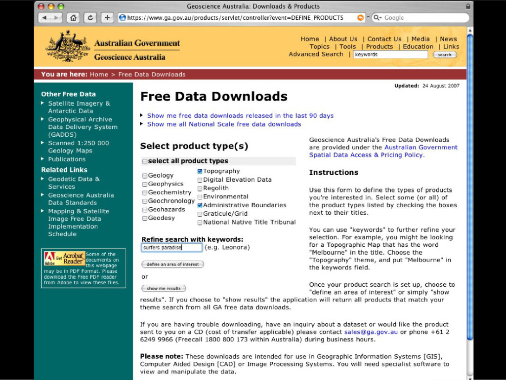
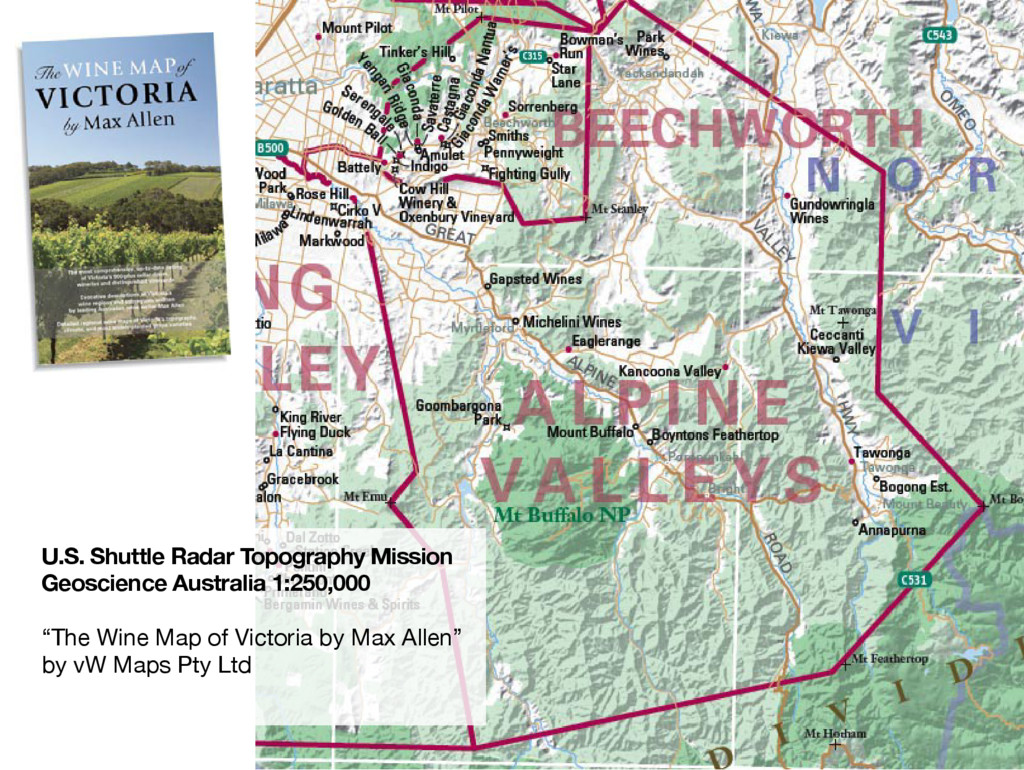
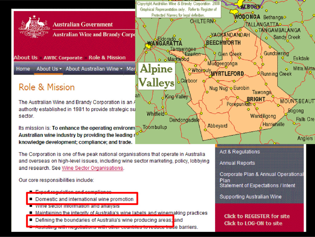
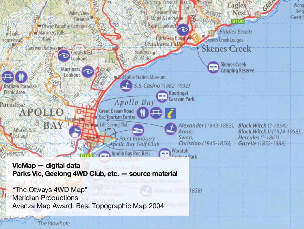
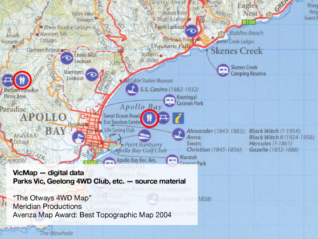
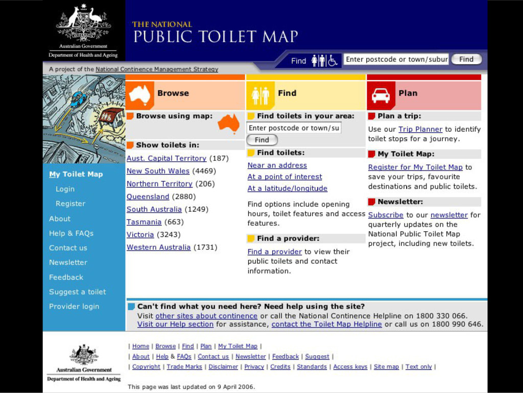
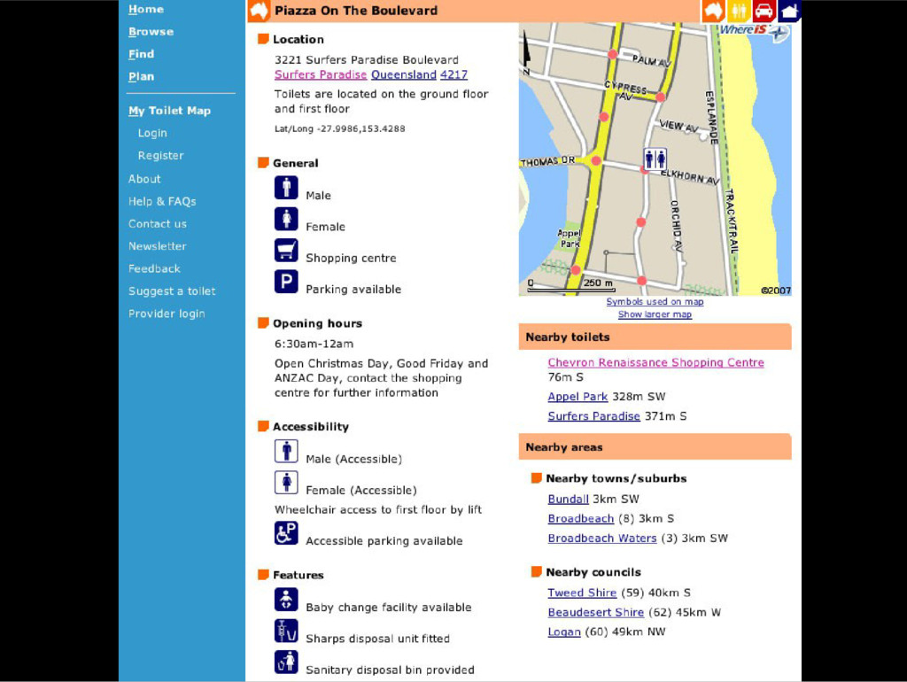
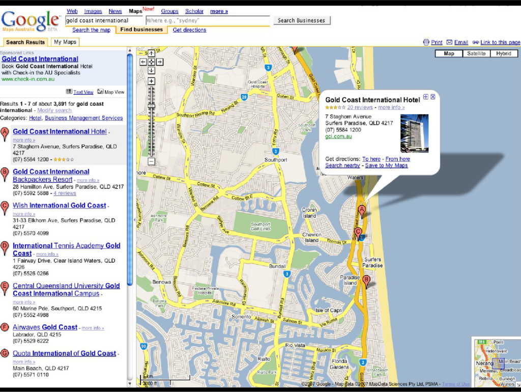
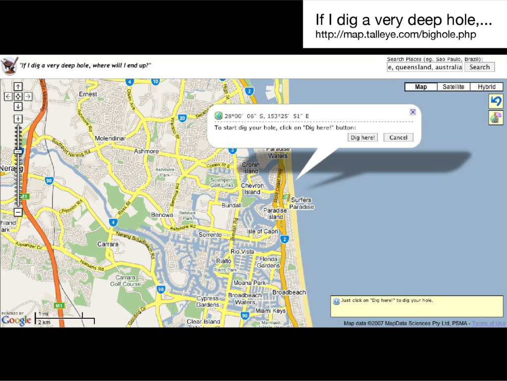
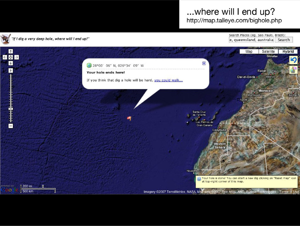
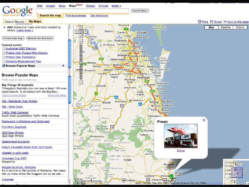
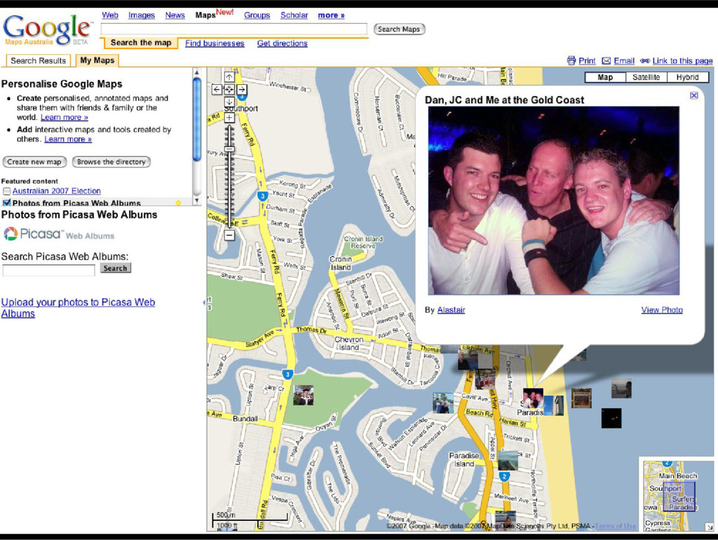
As the Open Data movement was just gaining steam in Australia, I made some arguments for cheaper and easier access to government data, citing examples from the mapping community.
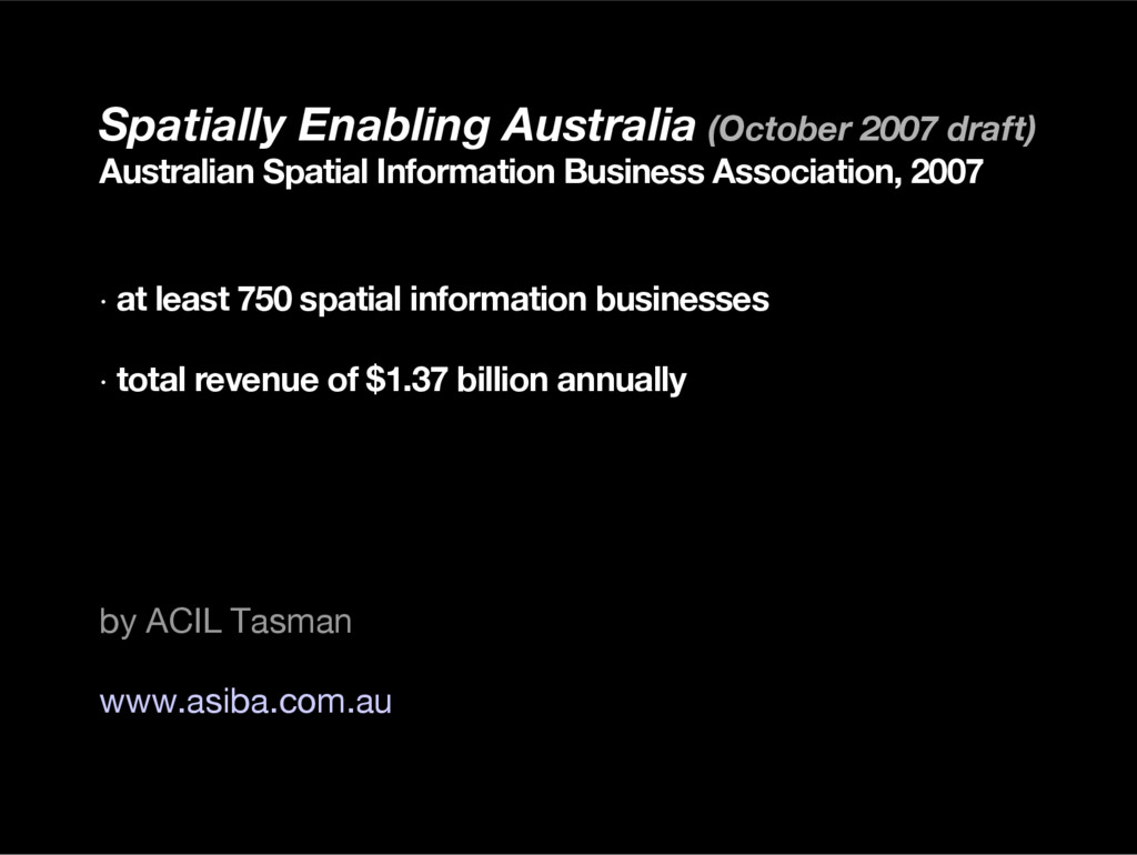
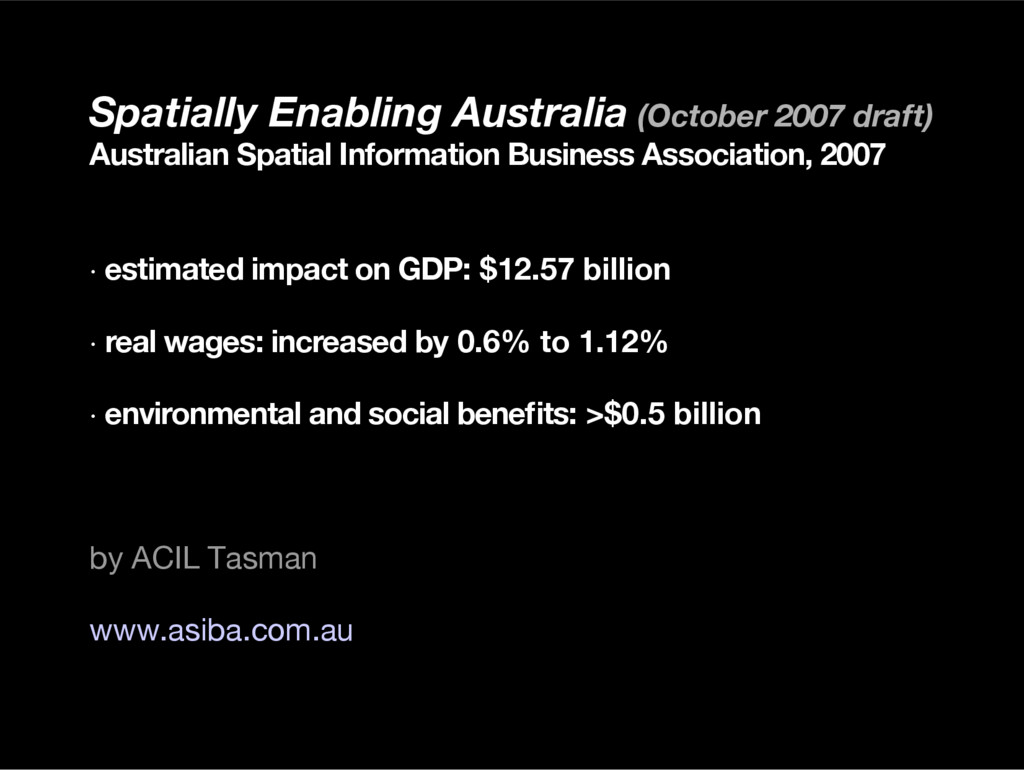
Association, 2007 · estimated impact on GDP: $12.57 billion · real wages: increased by 0.6% to 1.12% · environmental and social benefts: >$0.5 billion by ACIL Tasman www.asiba.com.au
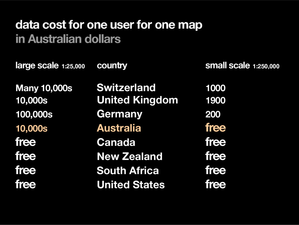
dollars large scale 1:25,000 country small scale 1:250,000 Many 10,000s Switzerland 1000 10,000s United Kingdom 1900 100,000s Germany 200 10,000s Australia free free Canada free free New Zealand free free South Africa free free United States free
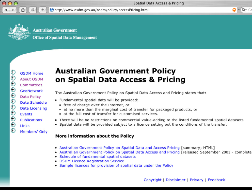
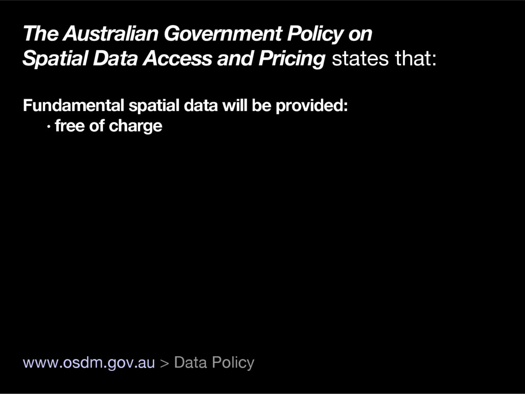
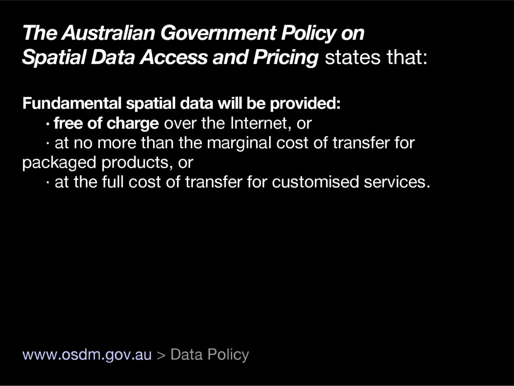
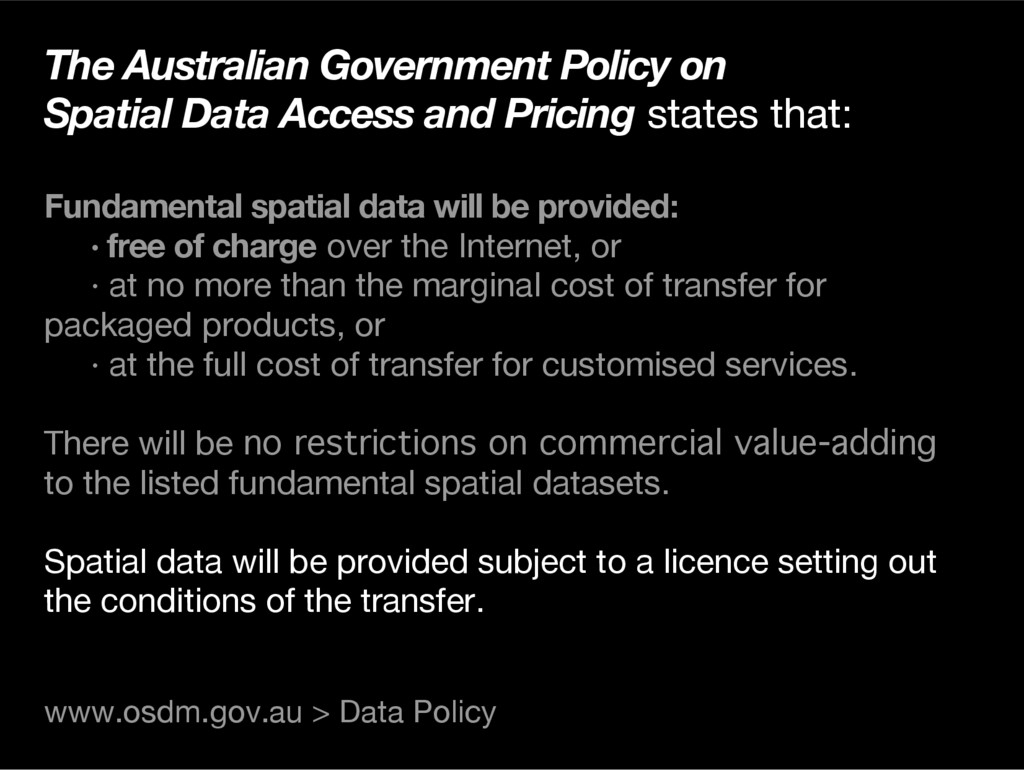
states that: Fundamental spatial data will be provided: · free of charge over the Internet, or · at no more than the marginal cost of transfer for packaged products, or · at the full cost of transfer for customised services. www.osdm.gov.au > Data Policy
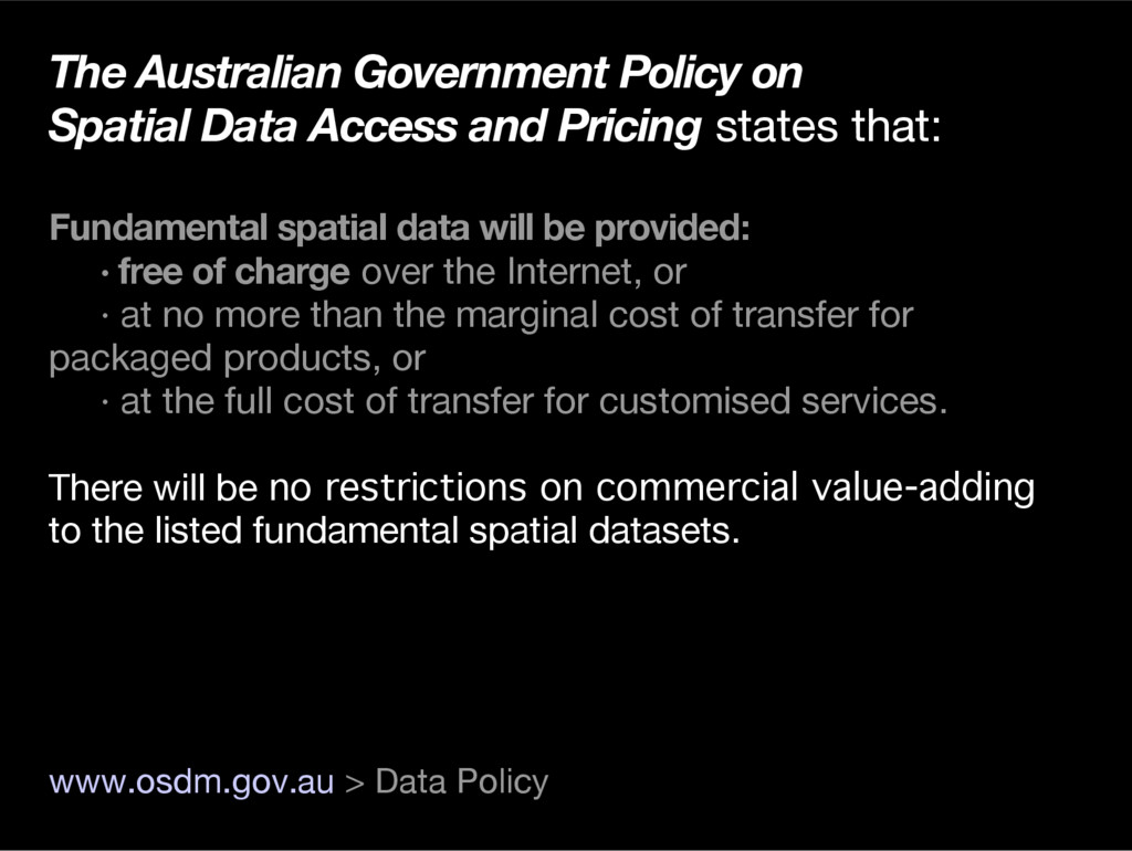
states that: Fundamental spatial data will be provided: · free of charge over the Internet, or · at no more than the marginal cost of transfer for packaged products, or · at the full cost of transfer for customised services. There will be no restrictions on commercial value-adding to the listed fundamental spatial datasets. www.osdm.gov.au > Data Policy
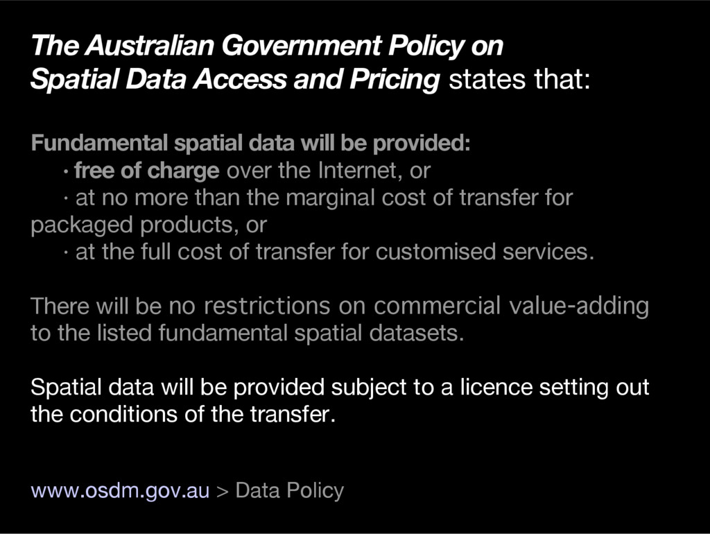
states that: Fundamental spatial data will be provided: · free of charge over the Internet, or · at no more than the marginal cost of transfer for packaged products, or · at the full cost of transfer for customised services. There will be no restrictions on commercial value-adding to the listed fundamental spatial datasets. Spatial data will be provided subject to a licence setting out the conditions of the transfer. www.osdm.gov.au > Data Policy
states that: Fundamental spatial data will be provided: · free of charge over the Internet, or · at no more than the marginal cost of transfer for packaged products, or · at the full cost of transfer for customised services. There will be no restrictions on commercial value-adding to the listed fundamental spatial datasets. Spatial data will be provided subject to a licence setting out the conditions of the transfer. www.osdm.gov.au > Data Policy
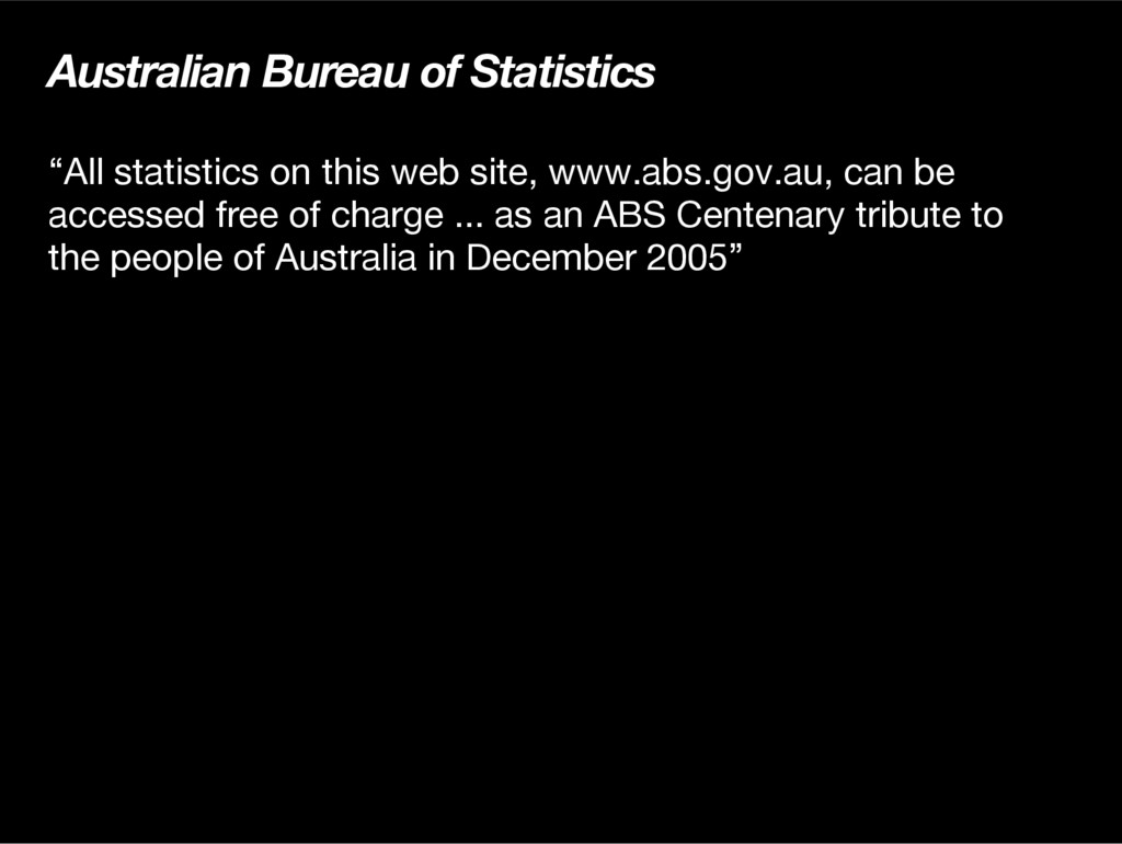
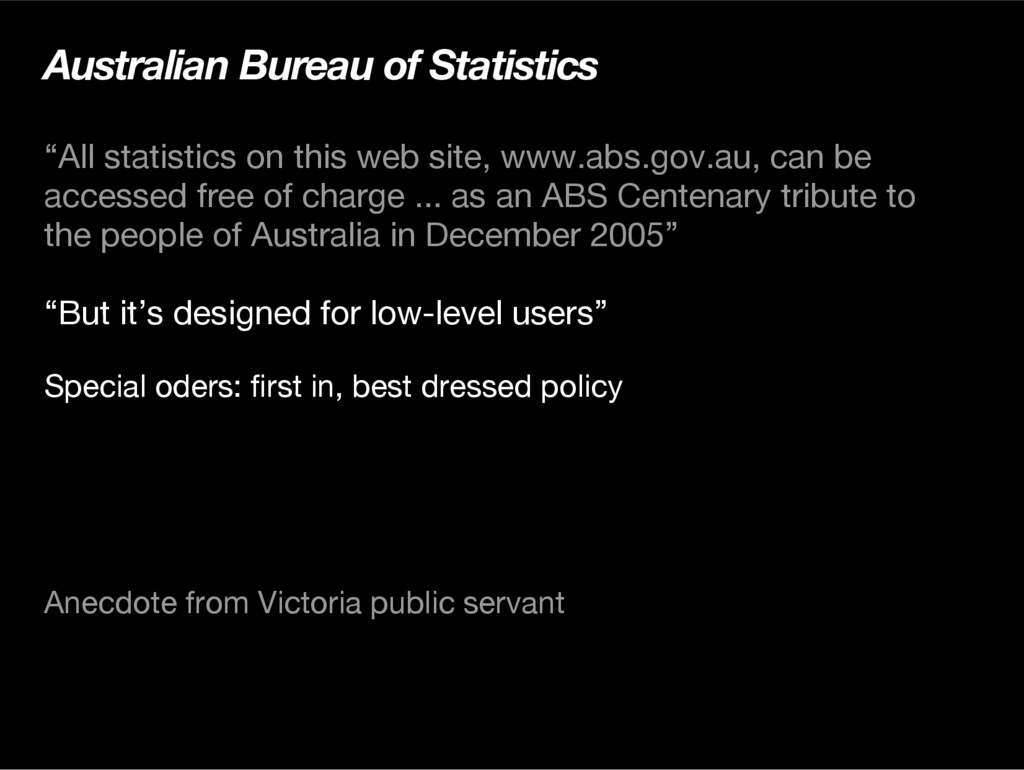
www.abs.gov.au, can be accessed free of charge ... as an ABS Centenary tribute to the people of Australia in December 2005” “But it’s designed for low-level users” Special oders: frst in, best dressed policy Anecdote from Victoria public servant
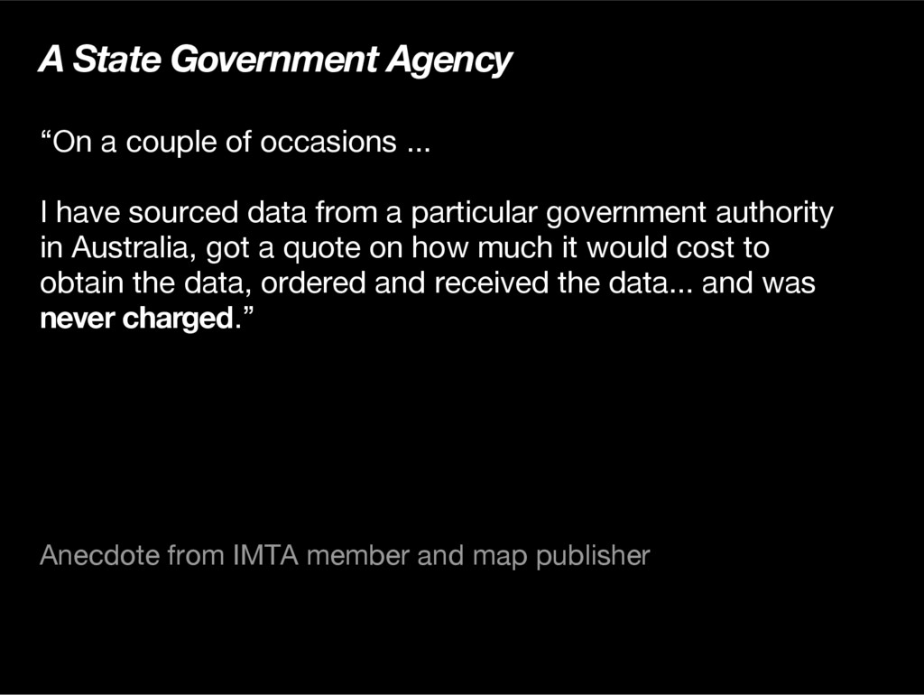
I have sourced data from a particular government authority in Australia, got a quote on how much it would cost to obtain the data, ordered and received the data... and was never charged.” Anecdote from IMTA member and map publisher
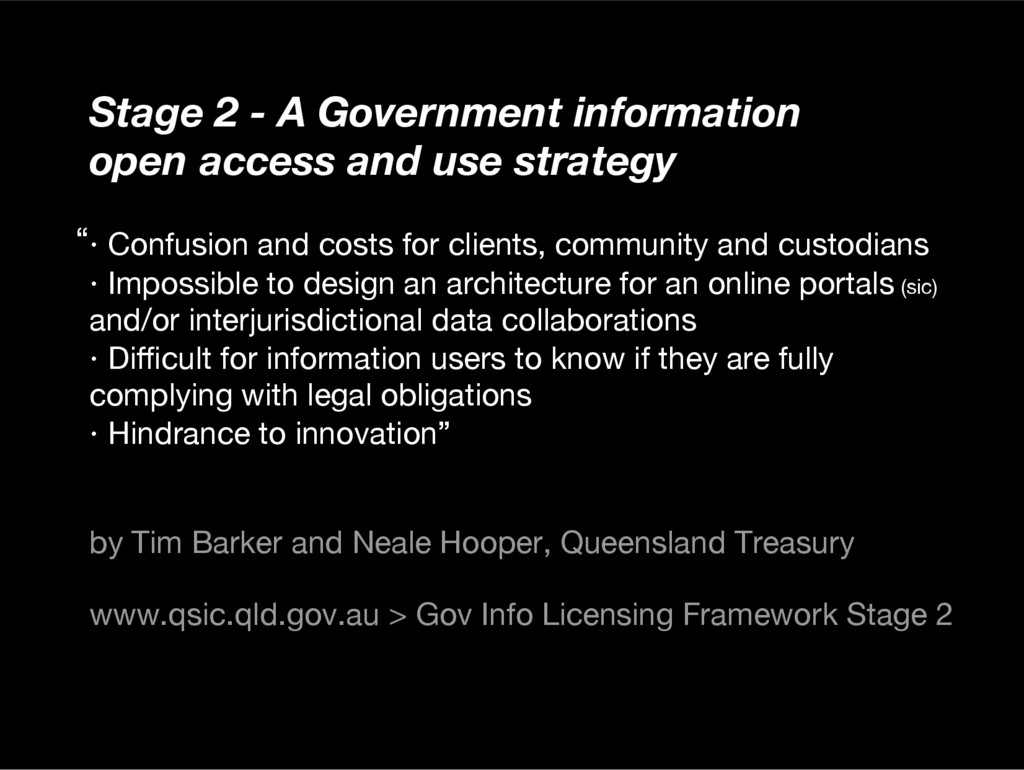
strategy · Confusion and costs for clients, community and custodians · Impossible to design an architecture for an online portals (sic) and/or interjurisdictional data collaborations · Difcult for information users to know if they are fully complying with legal obligations · Hindrance to innovation” by Tim Barker and Neale Hooper, Queensland Treasury www.qsic.qld.gov.au > Gov Info Licensing Framework Stage 2 “
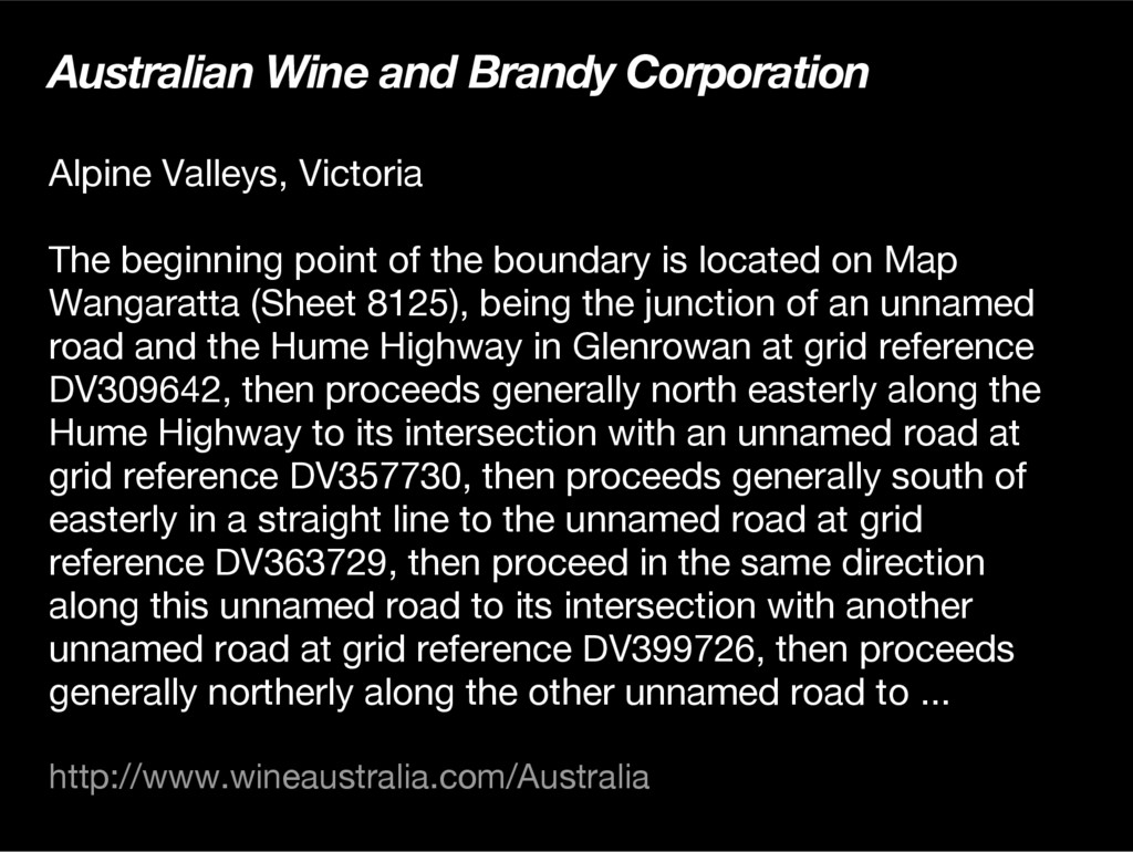
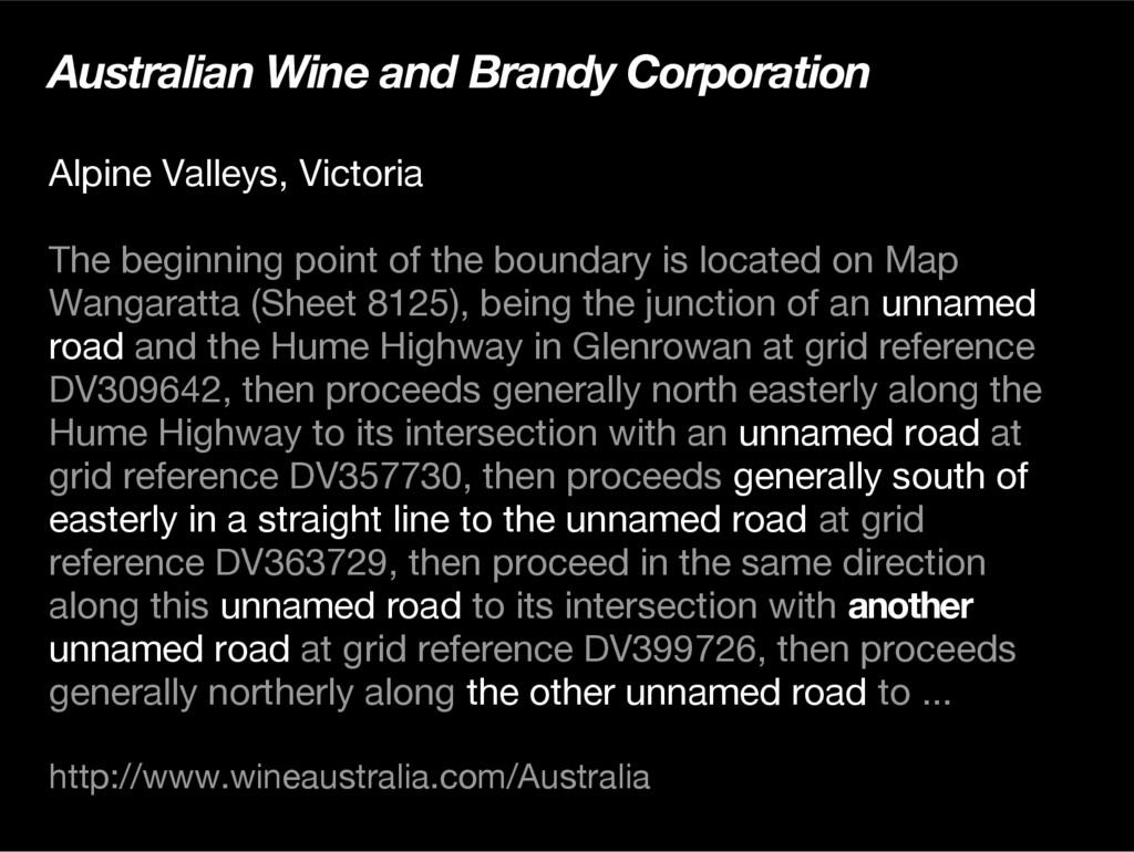
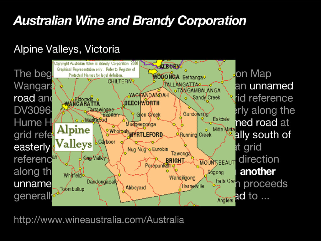
point of the boundary is located on Map Wangaratta (Sheet 8125), being the junction of an unnamed road and the Hume Highway in Glenrowan at grid reference DV309642, then proceeds generally north easterly along the Hume Highway to its intersection with an unnamed road at grid reference DV357730, then proceeds generally south of easterly in a straight line to the unnamed road at grid reference DV363729, then proceed in the same direction along this unnamed road to its intersection with another unnamed road at grid reference DV399726, then proceeds generally northerly along the other unnamed road to ... http://www.wineaustralia.com/Australia
point of the boundary is located on Map Wangaratta (Sheet 8125), being the junction of an unnamed road and the Hume Highway in Glenrowan at grid reference DV309642, then proceeds generally north easterly along the Hume Highway to its intersection with an unnamed road at grid reference DV357730, then proceeds generally south of easterly in a straight line to the unnamed road at grid reference DV363729, then proceed in the same direction along this unnamed road to its intersection with another unnamed road at grid reference DV399726, then proceeds generally northerly along the other unnamed road to ... http://www.wineaustralia.com/Australia
point of the boundary is located on Map Wangaratta (Sheet 8125), being the junction of an unnamed road and the Hume Highway in Glenrowan at grid reference DV309642, then proceeds generally north easterly along the Hume Highway to its intersection with an unnamed road at grid reference DV357730, then proceeds generally south of easterly in a straight line to the unnamed road at grid reference DV363729, then proceed in the same direction along this unnamed road to its intersection with another unnamed road at grid reference DV399726, then proceeds generally northerly along the other unnamed road to ... http://www.wineaustralia.com/Australia
third parties become involved…. … organisations volunteer their time to provide us with this information for non-commercial purposes, Human Solutions Pty Ltd
third parties become involved…. … organisations volunteer their time to provide us with this information for non-commercial purposes, and we need to ensure the community intent of the service is retained.” Human Solutions Pty Ltd
Spatial Information Council www.qsic.qld.gov.au Free Our Data www.freeourdata.org.uk Open Geospatial Consortium www.opengeospatial.org Australian Spatial Information Business Association www.asiba.com.au


 martinvonwyss
 yazm
 bgpat
 sh_fk2
 ykanoh
 satoshi7
 gionn
 keeg
 onk
 iktakahiro
 jozono
 recruitengineers
 jtakeda
 techseoconnect
 katiecoart
 soysaucechin
 jlugia
 reverentgeek
 sarafernandez
 inesmontani
 gr2m
 tapps
 helenjbeal
 kneath