Upgrade to Pro
— share decks privately, control downloads, hide ads and more …
Speaker Deck
Sign up for free
Menu
Search
Features
All features
Private URLs
Password Protection
Custom URLS
Scheduled publishing
Remove Branding
Restrict embedding
Deck Collections
Notes
Features
All features
Private URLs
Password Protection
Custom URLS
Scheduled publishing
Remove Branding
Restrict embedding
Deck Collections
Notes
Explore
Featured decks
Featured speakers
Programming
Technology
Storyboards
Explore
Featured decks
Featured speakers
Programming
Technology
Storyboards
Pricing
Search
Sign in
Sign up for free
Open aerospace
Search
Olaf Veerman
May 28, 2015
36
0
Share
Embed
Copy iframe code
Copy JS code
Copy link
Start on current slide
Open aerospace
Open aerospace - presented at Geospatial World Forum in Lisbon
Olaf Veerman
May 28, 2015
More Decks by Olaf Veerman
See All by Olaf Veerman
OSM as a platform
olafveerman
0
47
Openrosa for call centers
olafveerman
0
42
Data collection with Airwolf 2.0
olafveerman
0
110
Incêndios Project - sneak-peak
olafveerman
0
32
Featured
See All Featured
JAMstack: Web Apps at Ludicrous Speed - All Things Open 2022
reverentgeek
1
640
Paper Plane
katiecoart
PRO
5
54k
Future Trends and Review - Lecture 12 - Web Technologies (1019888BNR)
signer
PRO
0
3.8k
個人開発の失敗を避けるイケてる考え方 / tips for indie hackers
panda_program
123
22k
Making Projects Easy
brettharned
120
6.8k
svc-hook: hooking system calls on ARM64 by binary rewriting
retrage
2
630
Pawsitive SEO: Lessons from My Dog (and Many Mistakes) on Thriving as a Consultant in the Age of AI
davidcarrasco
0
260
What the history of the web can teach us about the future of AI
inesmontani
PRO
2
740
Agile Actions for Facilitating Distributed Teams - ADO2019
mkilby
0
310
Claude Code どこまでも/ Claude Code Everywhere
nwiizo
68
59k
Lessons Learnt from Crawling 1000+ Websites
charlesmeaden
PRO
1
1.6k
Test your architecture with Archunit
thirion
2
2.4k
Transcript
Open Aerospace Leveraging Open to Create Power Tools Olaf Veerman
[email protected]
@obirdman
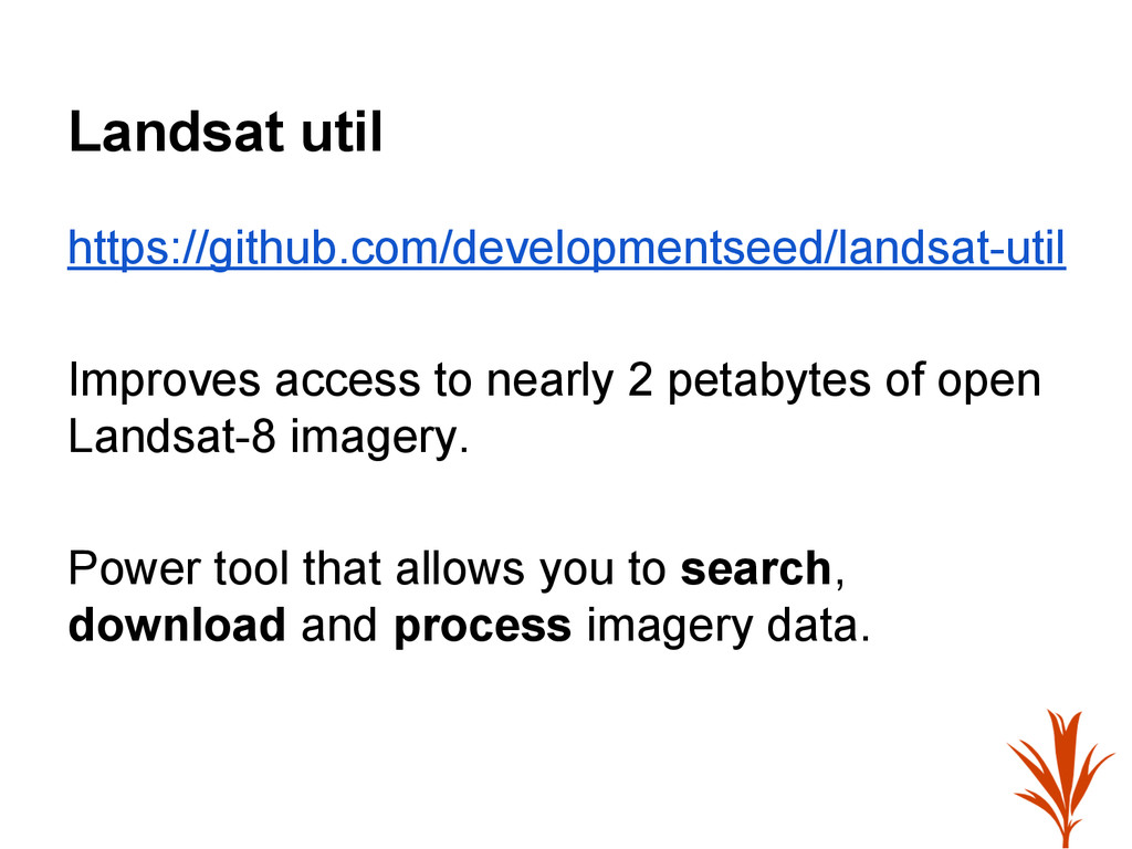
Landsat util https://github.com/developmentseed/landsat-util Improves access to nearly 2 petabytes of
open Landsat-8 imagery. Power tool that allows you to search, download and process imagery data.
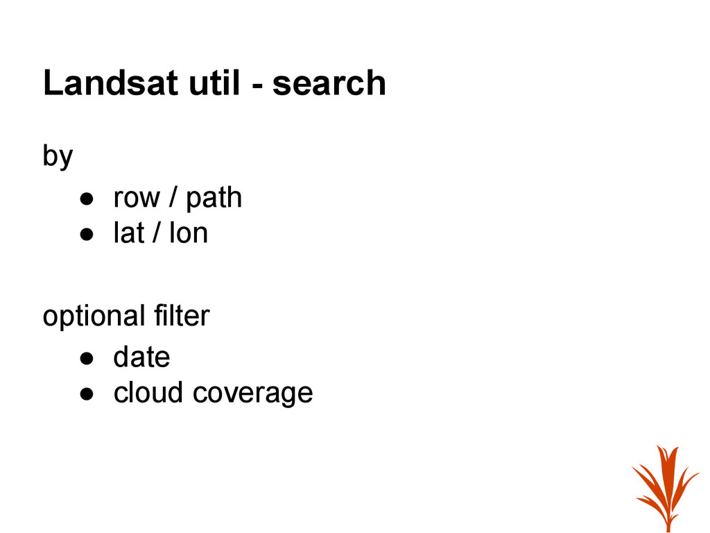
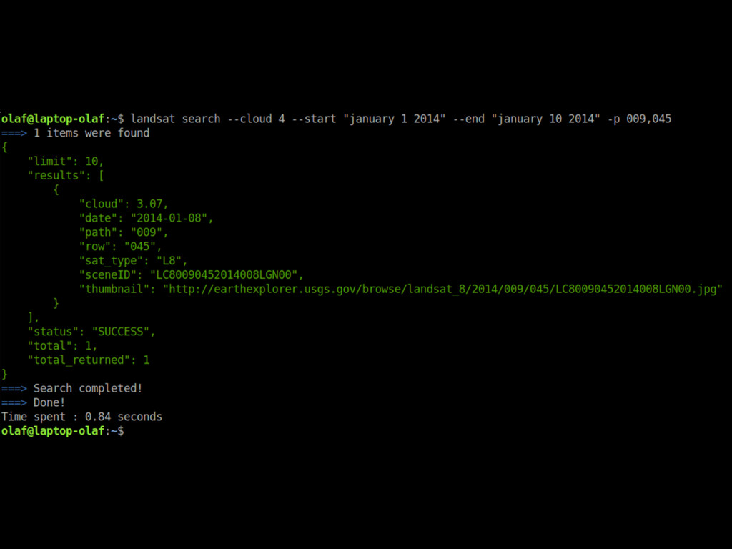
Landsat util - search by • row / path •
lat / lon optional filter • date • cloud coverage
None
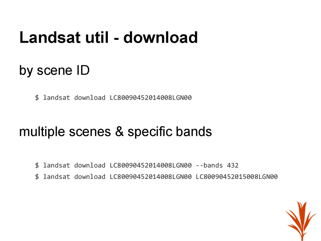
Landsat util - download by scene ID $ landsat download
LC80090452014008LGN00 multiple scenes & specific bands $ landsat download LC80090452014008LGN00 --bands 432 $ landsat download LC80090452014008LGN00 LC80090452015008LGN00
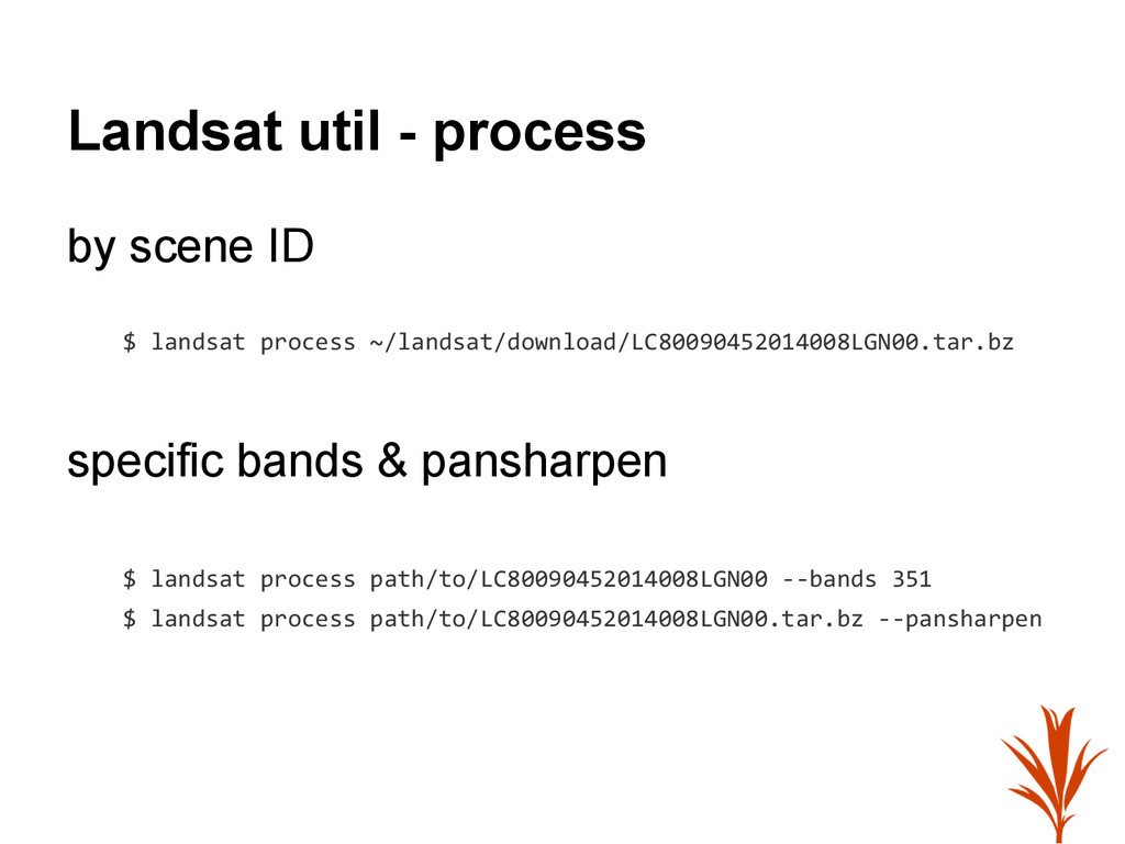
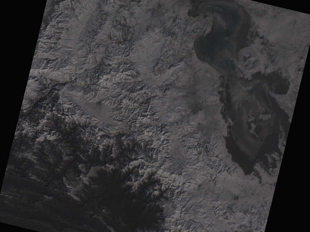
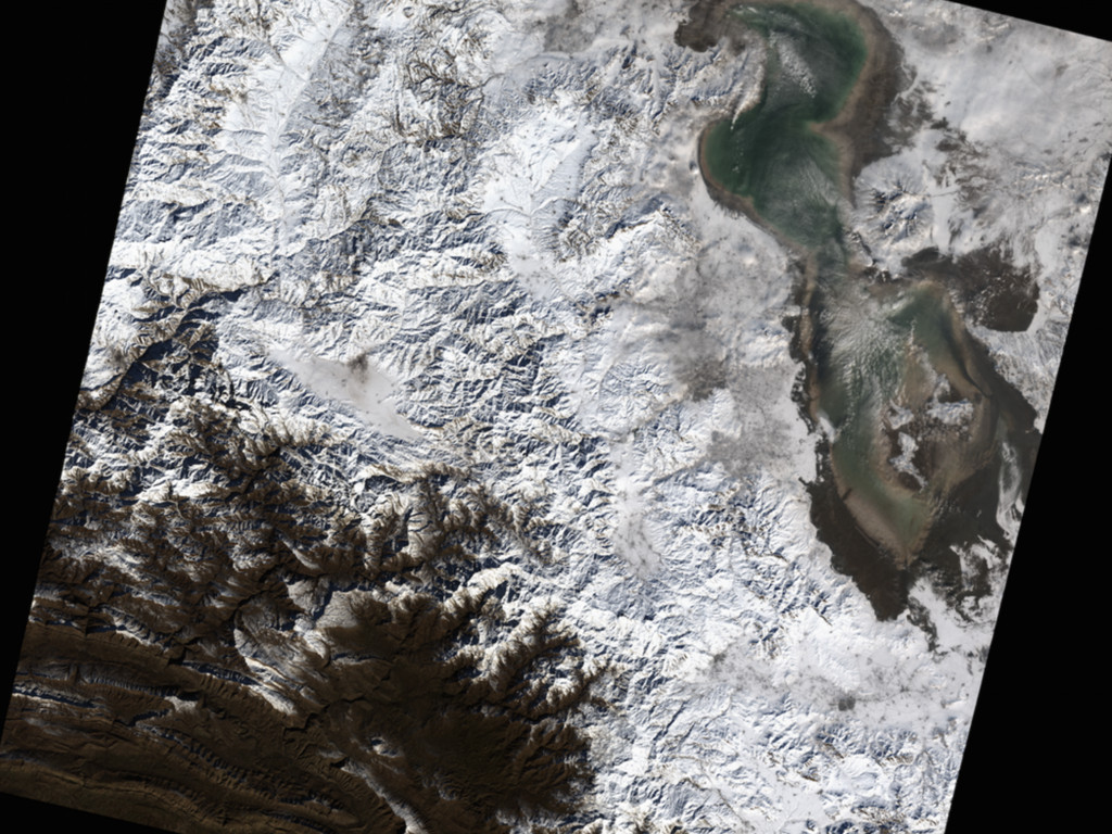
Landsat util - process by scene ID $ landsat process
~/landsat/download/LC80090452014008LGN00.tar.bz specific bands & pansharpen $ landsat process path/to/LC80090452014008LGN00 --bands 351 $ landsat process path/to/LC80090452014008LGN00.tar.bz --pansharpen
None
None
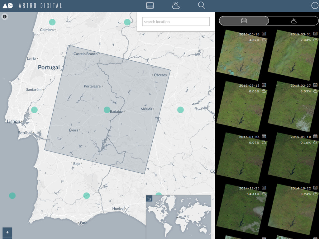
Astro Digital http://fetch.astrodigital.com/ User friendly imagery browser and API
None
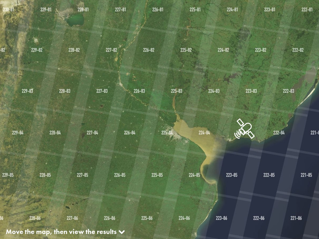
Snapsat http://snapsat.org/ Search and download imagery with high degree of
control over band combinations
None
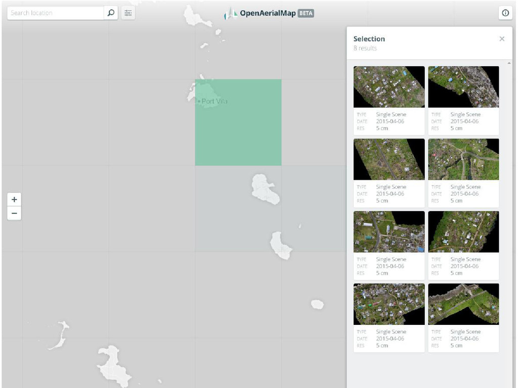
Open Aerial Map http://beta.openaerialmap.org/ Catalog for satellite and UAV imagery
Built in collaboration with the Humanitarian OpenStreetMap Team
None
Continue the conversation at the Happy Hour http://ds.io/gwf-hh http://developmentseed.org http://github.com/developmentseed
@developmentseed


 olafveerman
 reverentgeek
 katiecoart
 signer
 panda_program
 brettharned
 retrage
 davidcarrasco
 inesmontani
 mkilby
 nwiizo
 charlesmeaden
 thirion