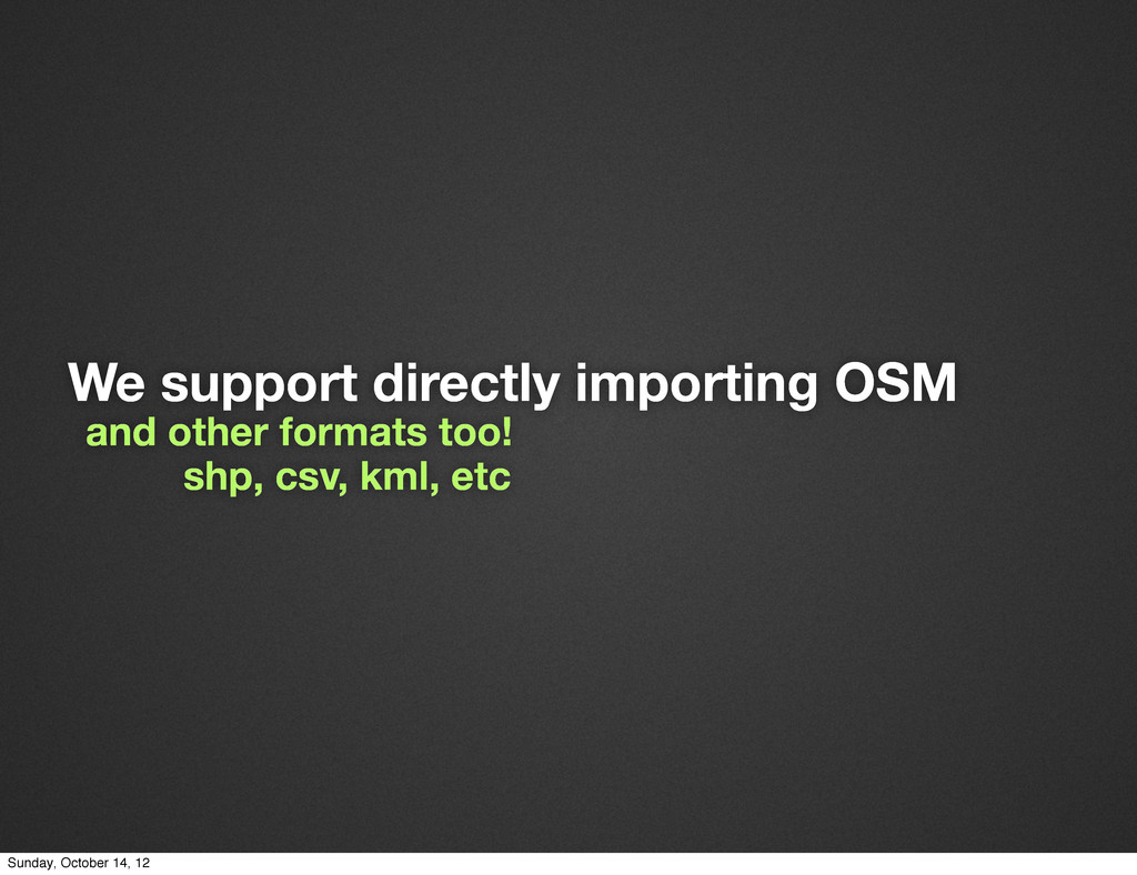
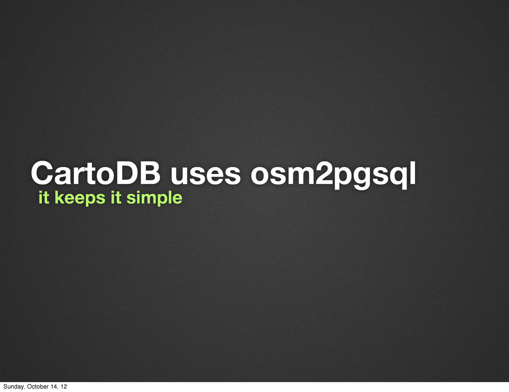
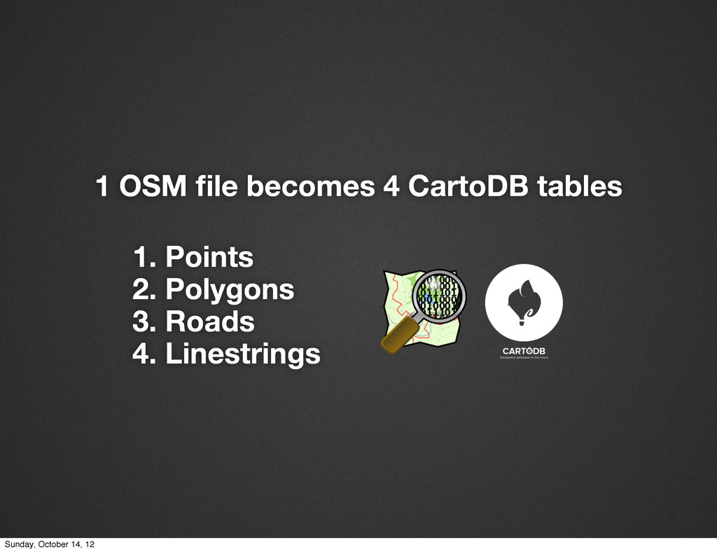
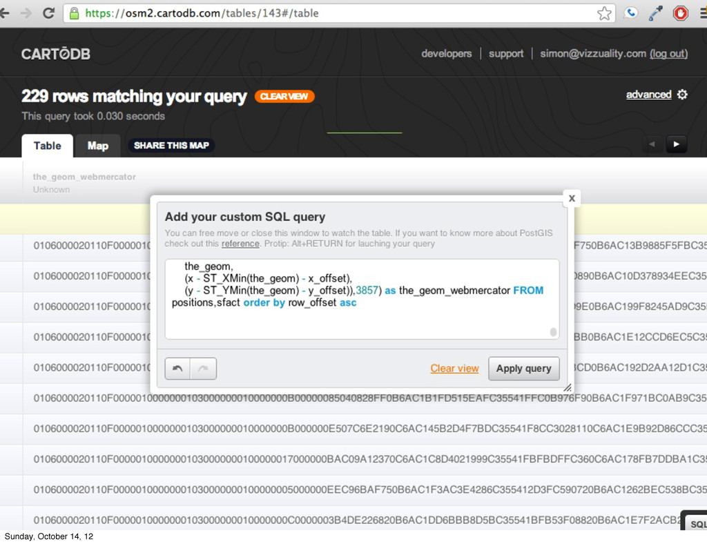
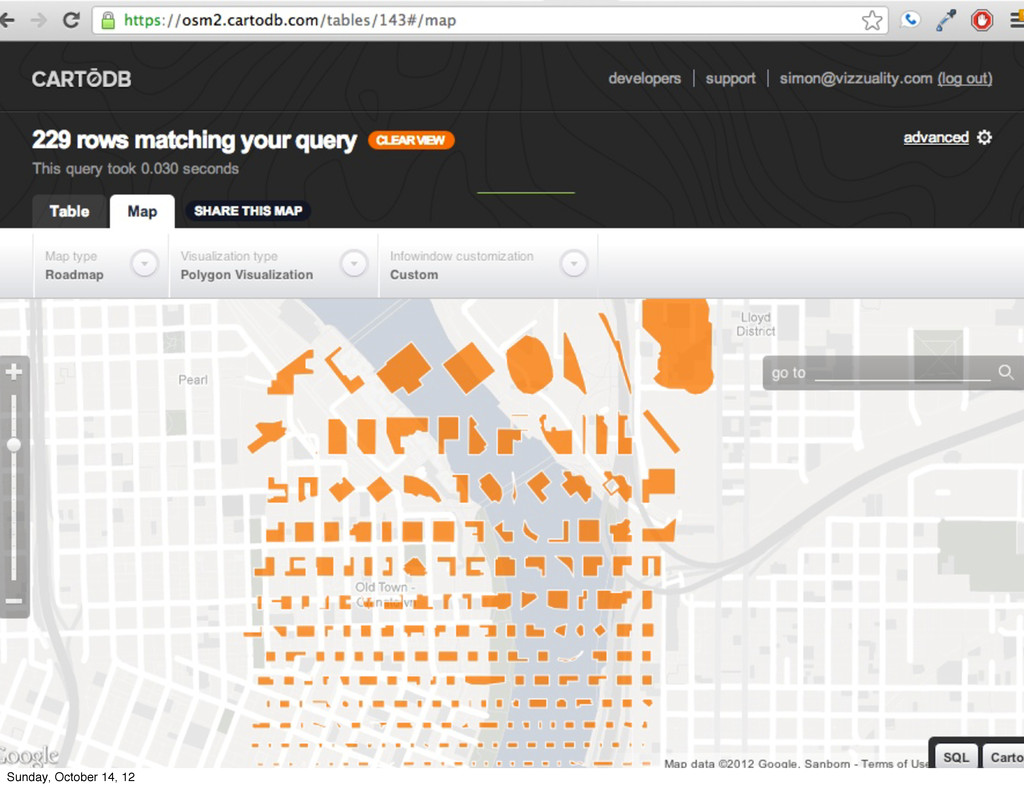
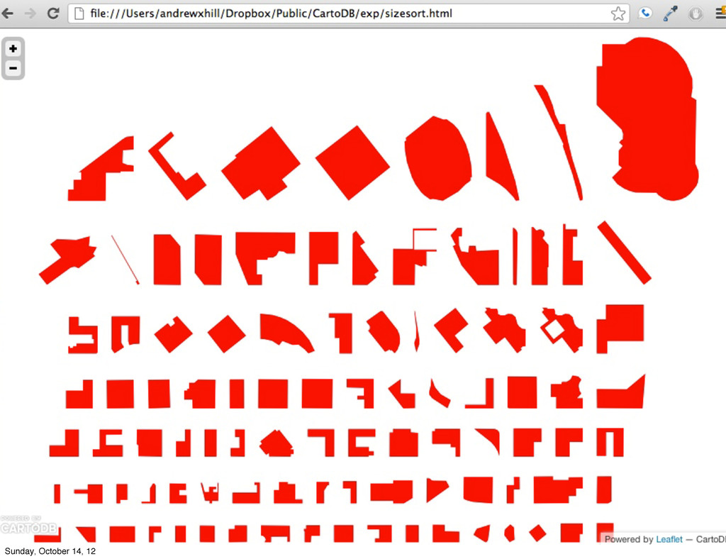
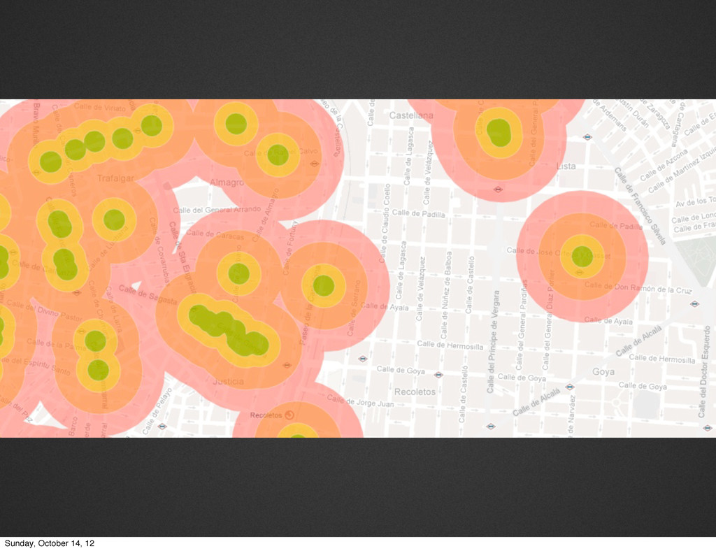
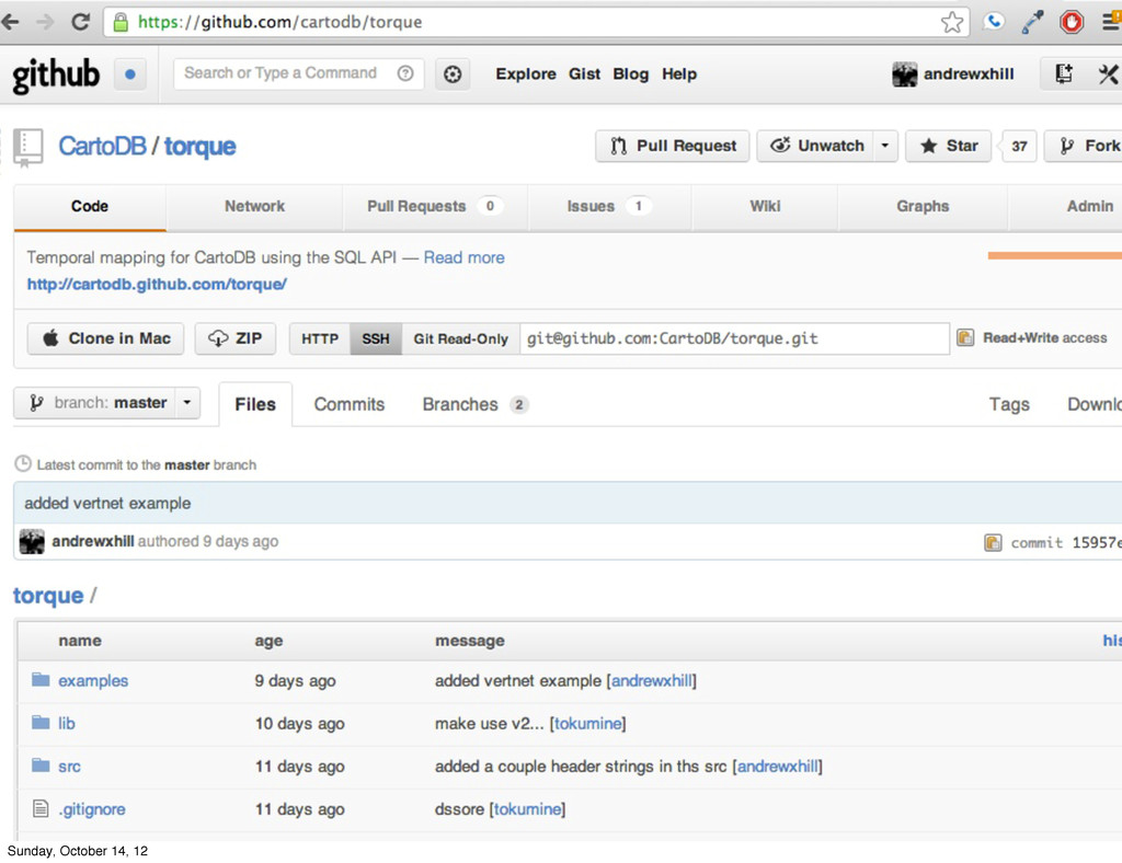
CartoDB is a great tool for using, sharing, and analyzing OSM data. Here I give an overview of some of the things that can be done. For any links or further information, tweet me @andrewxhill
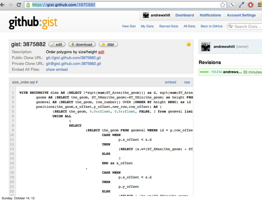
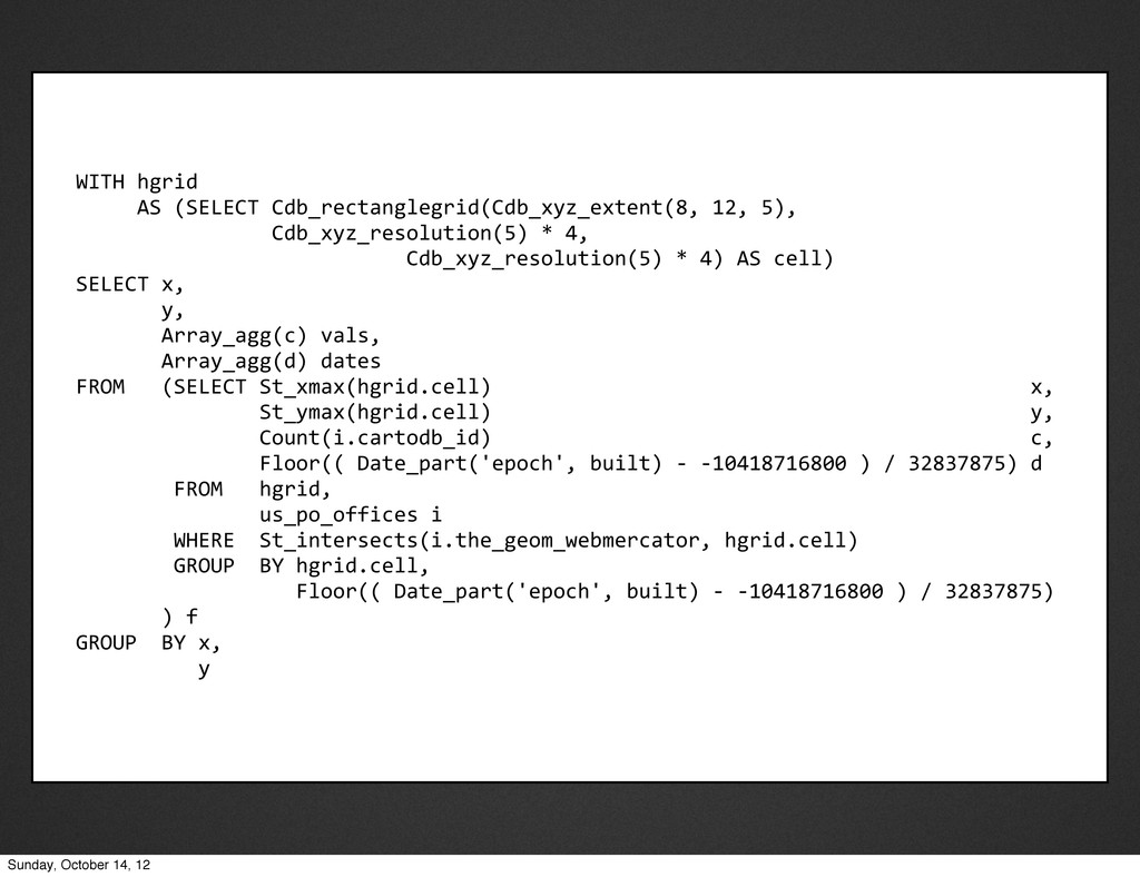
12, 5), Cdb_xyz_resolution(5) * 4, Cdb_xyz_resolution(5) * 4) AS cell) SELECT x, y, Array_agg(c) vals, Array_agg(d) dates FROM (SELECT St_xmax(hgrid.cell) x, St_ymax(hgrid.cell) y, Count(i.cartodb_id) c, Floor(( Date_part('epoch', built) -‐ -‐10418716800 ) / 32837875) d FROM hgrid, us_po_offices i WHERE St_intersects(i.the_geom_webmercator, hgrid.cell) GROUP BY hgrid.cell, Floor(( Date_part('epoch', built) -‐ -‐10418716800 ) / 32837875) ) f GROUP BY x, y Sunday, October 14, 12