Upgrade to Pro — share decks privately, control downloads, hide ads and more …

Geodaten in Drupal

Geodaten in Drupal

DE: Übersicht von Modulen zum Handeln von Geodaten in Drupal 7
EN: Summary of Modules for handling spatial Data in Drupal 7

Michael Milz

May 15, 2012
Tweet

Other Decks in Programming

Transcript

  1. Ablauf • Daten mit Ortsbezug eingeben • Geodaten ableiten •

    Geodaten verarbeiten • Geodaten anzeigen
  2. Daten mit Ortsbezug eingeben • Addressfield • Filefield (Bilder, KML

    ...) • Textfield • Computed Field • Feeds • ...
  3. Geocoder • This module will geocode just about anything you

    throw at it including addresses, GPX files, geo-tagged images, and KML files. • http://drupal.org/project/geocoder
  4. Geolocation Field • Geolocation provides a Drupal 7 field for

    storing Longitude/Latitude pairs. • http://drupal.org/project/geolocation
  5. Location • The Location module allows admins to collect addresses,

    geocode them (translate addresses to lattitude/longitude), and associate locations with Drupal nodes and users • http://drupal.org/project/location
  6. Geofield • Geofield is a module for storing geographic data

    in Drupal 7. It supports all geo-types (points, lines, polygons, multitypes etc.) • http://drupal.org/project/geofield
  7. Views GeoJSON • Views GeoJSON is a style plugin for

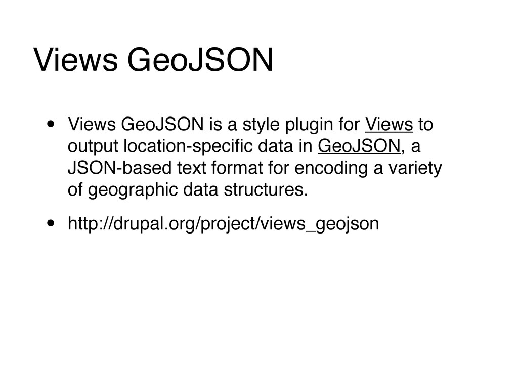
    Views to output location-specific data in GeoJSON, a JSON-based text format for encoding a variety of geographic data structures. • http://drupal.org/project/views_geojson
  8. Geolocation Proximity • This is a Views distance/proximity filter and

    field for Geolocation Field. • http://drupal.org/project/geolocation_proximity
  9. Static Map • Provides a static map formatter for the

    geofield and (soon) location modules. Both Google Maps and OpenStreetMap are supported. • http://drupal.org/project/staticmap
  10. GMap • != http://drupal.org/project/gmaps • GMap is considered a legacy

    module. For new installations, you may find your geospatial needs better served by more modern modules such as OpenLayers, ... • http://drupal.org/project/gmap
  11. Get Locations • Get Locations will provide Google maps API

    version 3 enabled maps on which to display markers of locations found in location-enabled content-types. • Google Maps API v3 • http://drupal.org/project/getlocations
  12. Leaflet • A Modern, Lightweight Open-Source JavaScript Library for Interactive

    Maps by CloudMade. • http://drupal.org/project/leaflet • Demo: http://theintertwine.org/explore
  13. OpenLayers • The OpenLayers Module and its submodules bring the

    OpenLayers JS library into Drupal. They enable users to combine maps from different map providers with data from Views and CCK input. • http://drupal.org/project/openlayers
  14. Openlayers Apachesolr Integration • This module provides integration between the

    Openlayers module and apachsolr with local solr integartion. • http://drupal.org/project/openlayers_solr
  15. Search API Location! • The Search API spatial module (7.x-2.x

    branch) adds the possibility of location based searching to the Search API module. • requires Apache Solr • http://drupal.org/project/search_api_location
  16. PostGIS • To the end user this module is similar

    to the Geofield module, but spatial operations and data storage rely on PostGIS. • http://drupal.org/project/postgis
  17. OpenLayers Locator • The OpenLayers Locator is a feature module

    that creates a robust, turn-key Locator using the Openlayers, Openlayers Proximity, Addressfield, Geofield and Geocoder modules. • http://drupal.org/project/ol_locator