Upgrade to Pro — share decks privately, control downloads, hide ads and more …

uMap, a small tour

uMap, a small tour

Slides for the Bruxelles conference in the SOTM 2016.

Yohan Boniface

September 25, 2016
Tweet

More Decks by Yohan Boniface

Other Decks in Programming

Transcript

  1. Keyboard shortcut ctrl-E => toggle edit mode ctrl-S => save

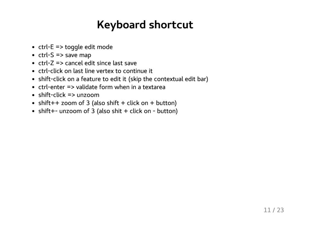
    map ctrl-Z => cancel edit since last save ctrl-click on last line vertex to continue it shift-click on a feature to edit it (skip the contextual edit bar) ctrl-enter => validate form when in a textarea shift-click => unzoom shift++ zoom of 3 (also shift + click on + button) shift+- unzoom of 3 (also shit + click on - button) 11 / 23
  2. right click It's contextual. Try it to learn new commands

    and keyboard shortcut. For example even on a vertex. 12 / 23
  3. Using layers Cluster and Heatmap types property inheritance cloning a

    layer layer type may have specific option (cluster has radius for example) 13 / 23
  4. Remote data For example to use with Overpass (with type

    "OSM") or OpenEventDatabase. But also, ahem, Evil™© Spreadsheet (CSV) ou Flickr (GeoRSS). Remember to set the credit! dynamic: means new request each time the map view changes; accepts variables variables: bbox, north, east, south, west, lat, lng, zoom, left, bottom, right, top proxy: workaround CORS http://api.mapillary.com/v1/im/search?min-lat={south}&max-lat={north}&min-lon={west}&max-lon={east}&max-results=500&geojson=true http://api.flickr.com/services/feeds/geo/?format=rss_200_enc 14 / 23
  5. Polylines and polygones transform a line to polygon and vice

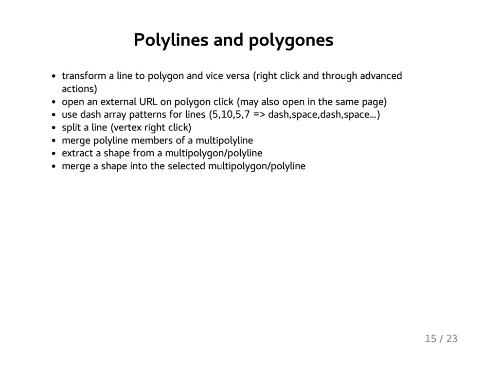
    versa (right click and through advanced actions) open an external URL on polygon click (may also open in the same page) use dash array patterns for lines (5,10,5,7 => dash,space,dash,space …) split a line (vertex right click) merge polyline members of a multipolyline extract a shape from a multipolygon/polyline merge a shape into the selected multipolygon/polyline 15 / 23
  6. Popups use different shapes (table, panel …) change content template

    dynamic property may be combined with formatting [{{link}}|{{{img_url}}}] extra variables: bbox, north, east, south, west, lat, lng, zoom, left, bottom, right, top, measure # {title} **Address**: {address} {{{img_url}}} 16 / 23
  7. Imports import several files at once create a new layer

    on the fly replace layer data during process 17 / 23
  8. Slideshow you need to choose a duration to activate it

    may be run automatically on map load 18 / 23
  9. Customize iframe export allow to have different views for plain

    and iframe view, or to have different views in different iframes it's possible to only display currently visible layers disable scroll wheel zoom 21 / 23
  10. Download the map in "uMap format" allow to restore it

    completly, even in another uMap instance 22 / 23
  11. Work with labels choose direction (left, right, top, bottom, center)

    only display on hover make it clickable 23 / 23