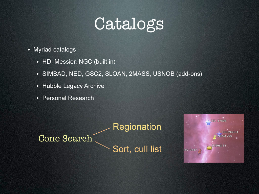
projects. Develop, nurture, and share innovations in space astronomy science operations. Collaborate on the next generation of space astrophysics programs.
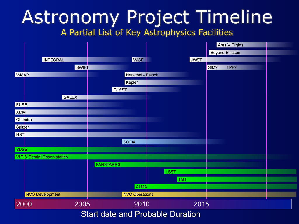
2000 2005 2010 2015 Start date and Probable Duration HST Spitzer Chandra FUSE GALEX GLAST Kepler WMAP JWST SWIFT Beyond Einstein XMM SOFIA INTEGRAL Ares V Flights Herschel - Planck WISE NVO Operations ALMA TMT LSST PANSTARRS NVO Development SDSS VLT & Gemini Observatories SIM? TPF?
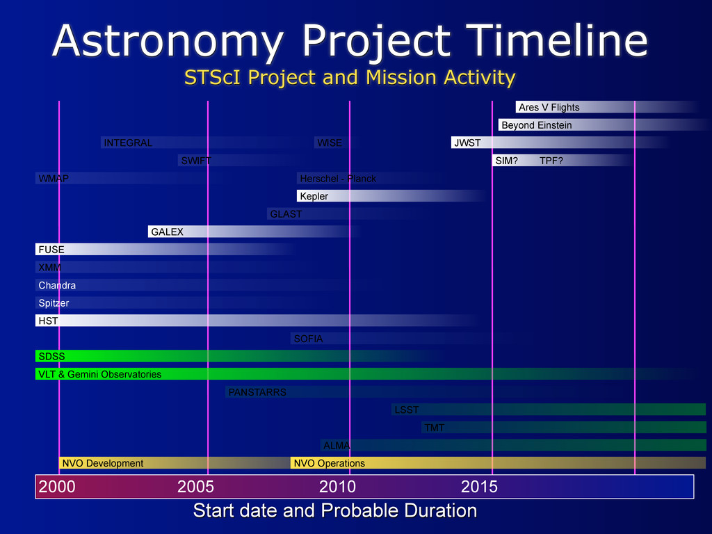
2010 2015 HST Spitzer Chandra FUSE GALEX GLAST Kepler WMAP JWST SWIFT Beyond Einstein XMM SOFIA INTEGRAL Ares V Flights Herschel - Planck WISE NVO Operations ALMA TMT LSST PANSTARRS NVO Development SIM? TPF? SDSS VLT & Gemini Observatories Start date and Probable Duration
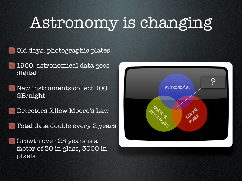
goes digital New instruments collect 100 GB/night Detectors follow Moore’s Law Total data double every 2 years Growth over 25 years is a factor of 30 in glass, 3000 in pixels ?
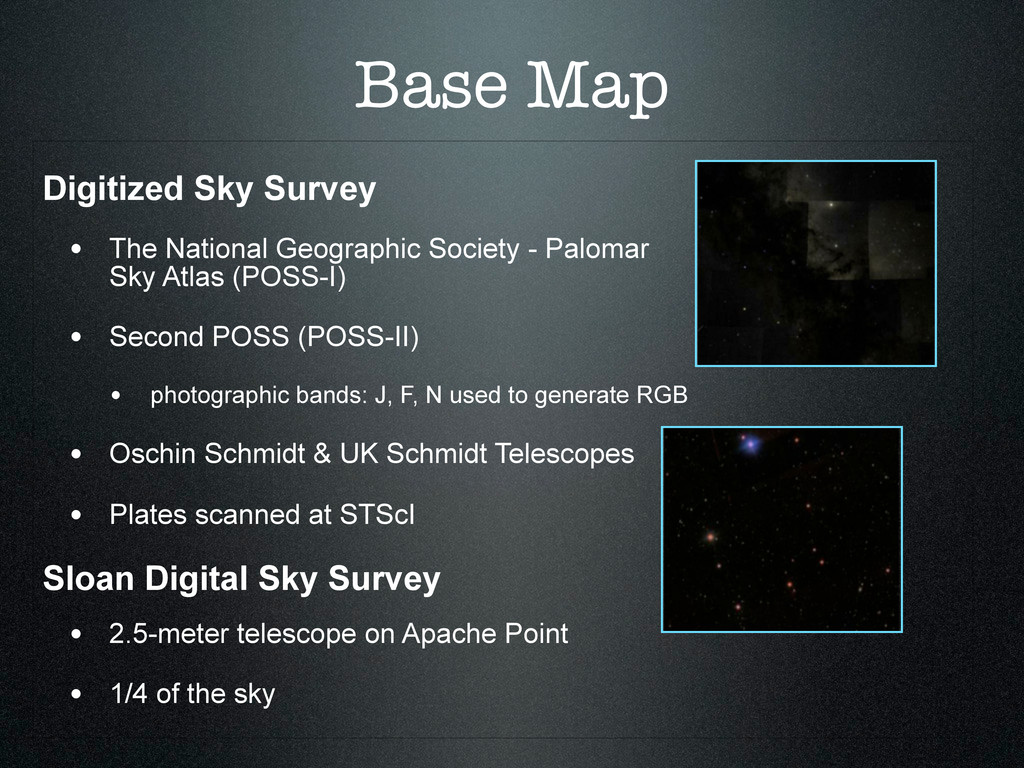
- Palomar Observatory Sky Atlas (POSS-I) • Second POSS (POSS-II) • photographic bands: J, F, N used to generate RGB • Oschin Schmidt & UK Schmidt Telescopes • Plates scanned at STScI Sloan Digital Sky Survey • 2.5-meter telescope on Apache Point • 1/4 of the sky
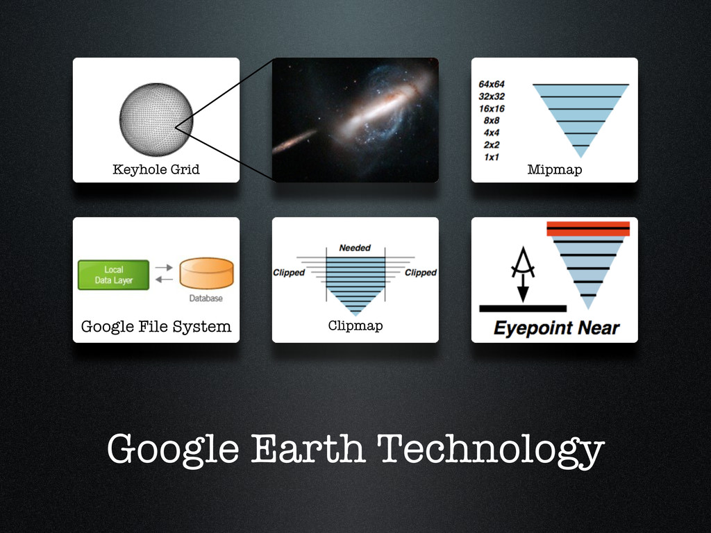
geodetic coordinates • Account for first order distortions across fields • Match tiles at edges • Color balance adjusted between tiles • Projection causes problems at the poles
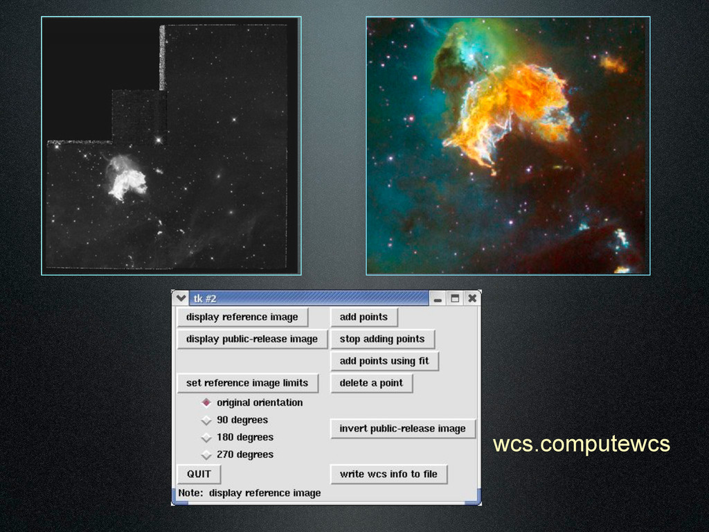
and ACS images • Recover World Coordinate System • Overlay image on basemap • Adjust images by hand • Retrieve “bounding box” and rotation • Warp to geodetic
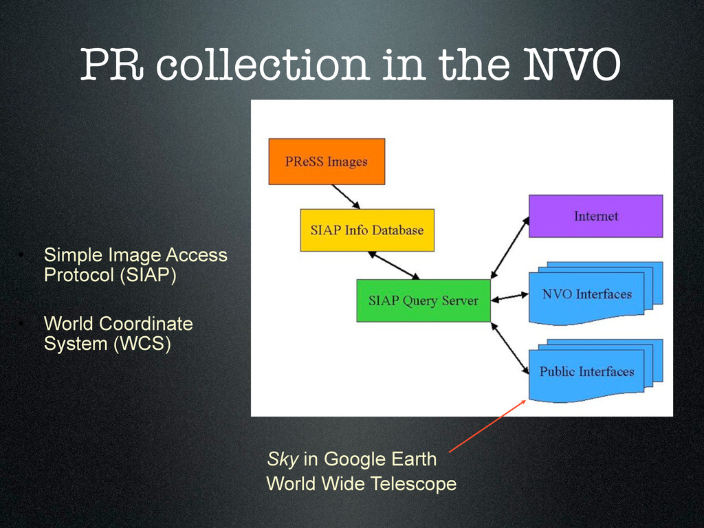
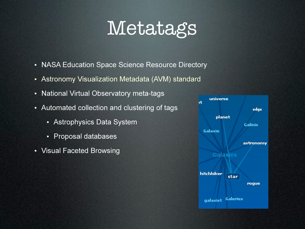
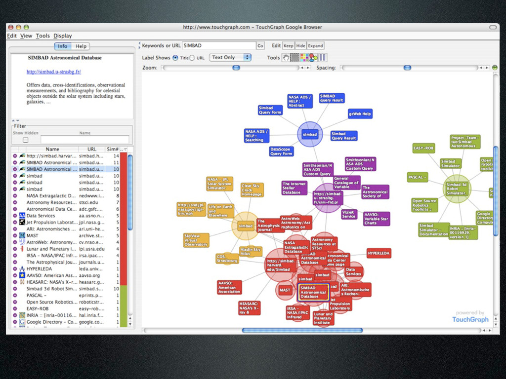
Visualization Metadata (AVM) standard • National Virtual Observatory meta-tags • Automated collection and clustering of tags • Astrophysics Data System • Proposal databases • Visual Faceted Browsing
![Dr Carol Christian [email protected] Dr Alberto Conti [email protected]](https://files.speakerdeck.com/presentations/500dc045c267cb0002009314/slide_33.jpg)