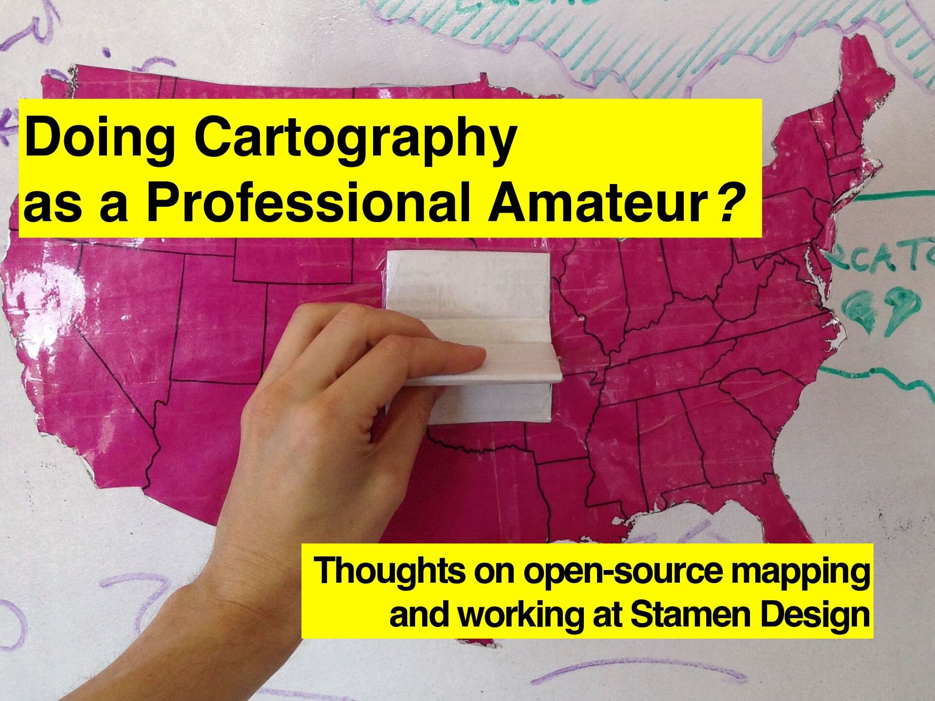
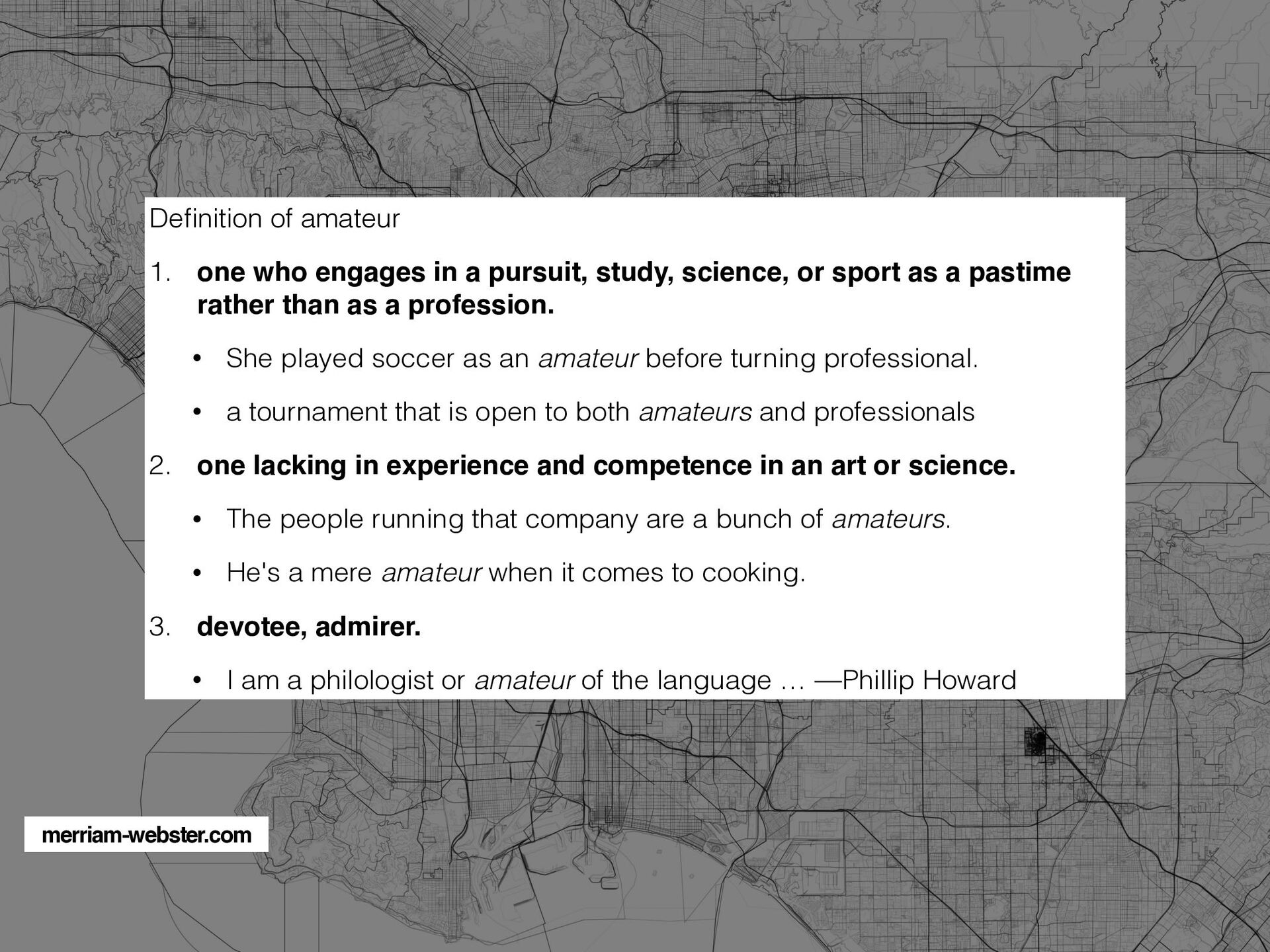
a pursuit, study, science, or sport as a pastime rather than as a profession. • She played soccer as an amateur before turning professional. • a tournament that is open to both amateurs and professionals 2. one lacking in experience and competence in an art or science. • The people running that company are a bunch of amateurs. • He's a mere amateur when it comes to cooking. 3. devotee, admirer. • I am a philologist or amateur of the language … —Phillip Howard merriam-webster.com
![Vancouver [de]Tour Guide 2010](https://files.speakerdeck.com/presentations/a343fd78a055498d99301ce32fd048af/slide_15.jpg)
![Thank you! [email protected] @mappingmashup s @stamen](https://files.speakerdeck.com/presentations/a343fd78a055498d99301ce32fd048af/slide_71.jpg)