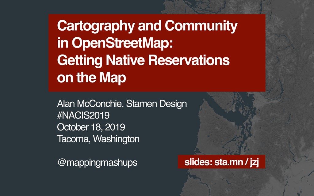
Slides for my NACIS 2019 talk.
Watch the recording here: https://www.youtube.com/watch?v=fTJU3xaYQxE
Full transcript is here: https://mappingmashups.medium.com/here-is-a-transcription-of-my-presentation-to-the-north-american-cartographic-information-society-c422255cc9ed
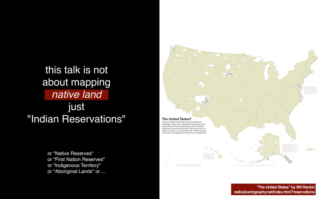
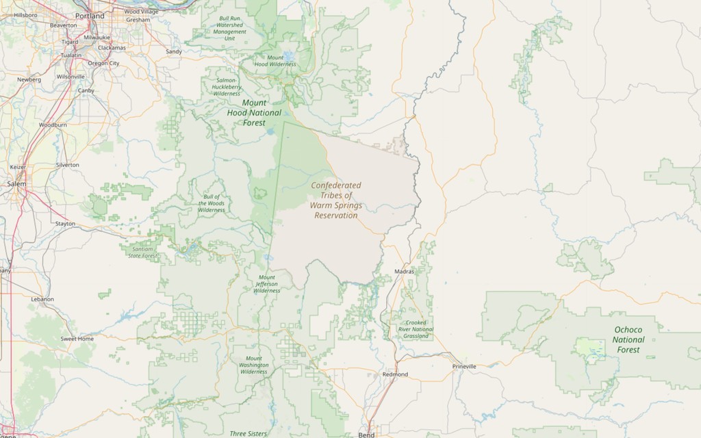
More context here: https://hi.stamen.com/its-about-time-openstreetmap-showed-native-lands-on-the-map-cfc56e92b2ac