Upgrade to Pro
— share decks privately, control downloads, hide ads and more …
Speaker Deck
Features
Speaker Deck
PRO
Sign in
Sign up for free
Search
Search
GIS for PAs
Search
CartoLab
May 19, 2014
Technology
68
0
Share
Embed
Copy iframe code
Copy JS code
Copy link
Start on current slide
GIS for PAs
Geographical Information System for Protected Areas in Ukraine
CartoLab
May 19, 2014
More Decks by CartoLab
See All by CartoLab
OSM and National Parks
cartolab
1
100
UAV for PAs - Orthophoto
cartolab
2
170
GIS and NPs for Education
cartolab
0
58
OSM for Conservation
cartolab
1
130
GIS-Narach-2014 - OSM
cartolab
0
86
OSM for PAs
cartolab
0
110
OSM for PAs
cartolab
0
75
ArcGIS for Mobile
cartolab
0
220
QGIS Plugins
cartolab
0
180
Other Decks in Technology
See All in Technology
FDE という解 ― 暗黙知と明示知をつなぐ、伴走型エンジニアリング ―
otanet
0
130
あなたの AI ワークスペースに、 専門コーダーを連れてくる - Amazon Quick Desktop 最新情報
kawaji_scratch
1
130
2026 TECHFRESH 畢業分享會 - AI-Native 重塑軟體工程與虛擬講師
line_developers_tw
PRO
0
850
「エンジニア進化論」2028年の開発完全自動化、エンジニアはどう進化するか
cyberagentdevelopers
PRO
6
4.6k
Oracle AI Database@Google Cloud:サービス概要のご紹介
oracle4engineer
PRO
6
1.5k
Agent Skills設計で柔軟性と硬さのバランスが難しい話
nassy20
0
120
非定型業務をAI slackbotで自動化する ~ 社内要望を自動壁打ちするbotを作った ~/automating-ad-hoc-work-with-ai-slackbot
shibayu36
0
610
現地で盛り上がった WWDC26 Keynote
zozotech
PRO
1
210
非エンジニアがClaudeと挑んだ「1ヶ月間プロダクト30本ノック」
askokc
0
360
小さくはじめるSLI/SLO ~育てながら組織に定着させる実践知~ / Starting Small with SLI/SLOs: Building Adoption Through Continuous Growth
nari_ex
7
1.8k
【Cyber-sec+】経営層を"動かす"ための考え方
hssh2_bin
0
140
MIERUNE JCT 発表資料「宇宙から伊能忠敬ごっこ」
syuchimu
0
210
Featured
See All Featured
Bioeconomy Workshop: Dr. Julius Ecuru, Opportunities for a Bioeconomy in West Africa
akademiya2063
PRO
1
140
jQuery: Nuts, Bolts and Bling
dougneiner
66
8.5k
Digital Ethics as a Driver of Design Innovation
axbom
PRO
1
310
Documentation Writing (for coders)
carmenintech
77
5.4k
Speed Design
sergeychernyshev
33
1.8k
My Coaching Mixtape
mlcsv
0
140
Building Applications with DynamoDB
mza
96
7.1k
The untapped power of vector embeddings
frankvandijk
2
1.8k
SEO in 2025: How to Prepare for the Future of Search
ipullrank
3
3.5k
Keith and Marios Guide to Fast Websites
keithpitt
413
23k
The Art of Delivering Value - GDevCon NA Keynote
reverentgeek
16
2k
Typedesign – Prime Four
hannesfritz
42
3.1k
Transcript
GIS for PAs Geographical Information System for Protected Areas
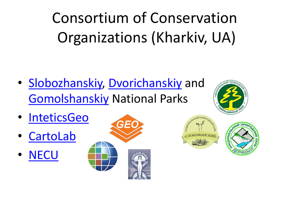
Consortium of Conservation Organizations (Kharkiv, UA) • Slobozhanskiy, Dvorichanskiy and
Gomolshanskiy National Parks • InteticsGeo • CartoLab • NECU
Community Support GIS-Lab OSM SCGIS
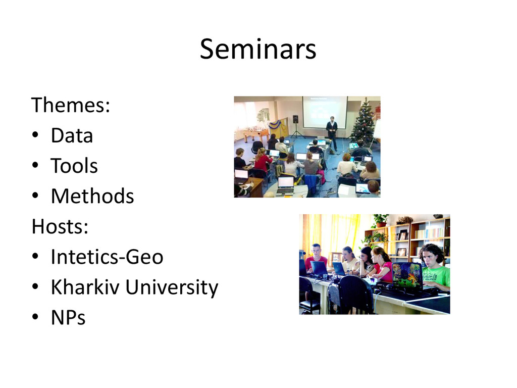
Seminars Themes: • Data • Tools • Methods Hosts: •
Intetics-Geo • Kharkiv University • NPs
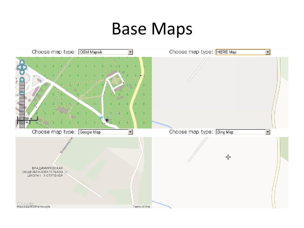
Base Maps
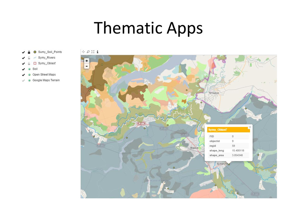
Thematic Apps
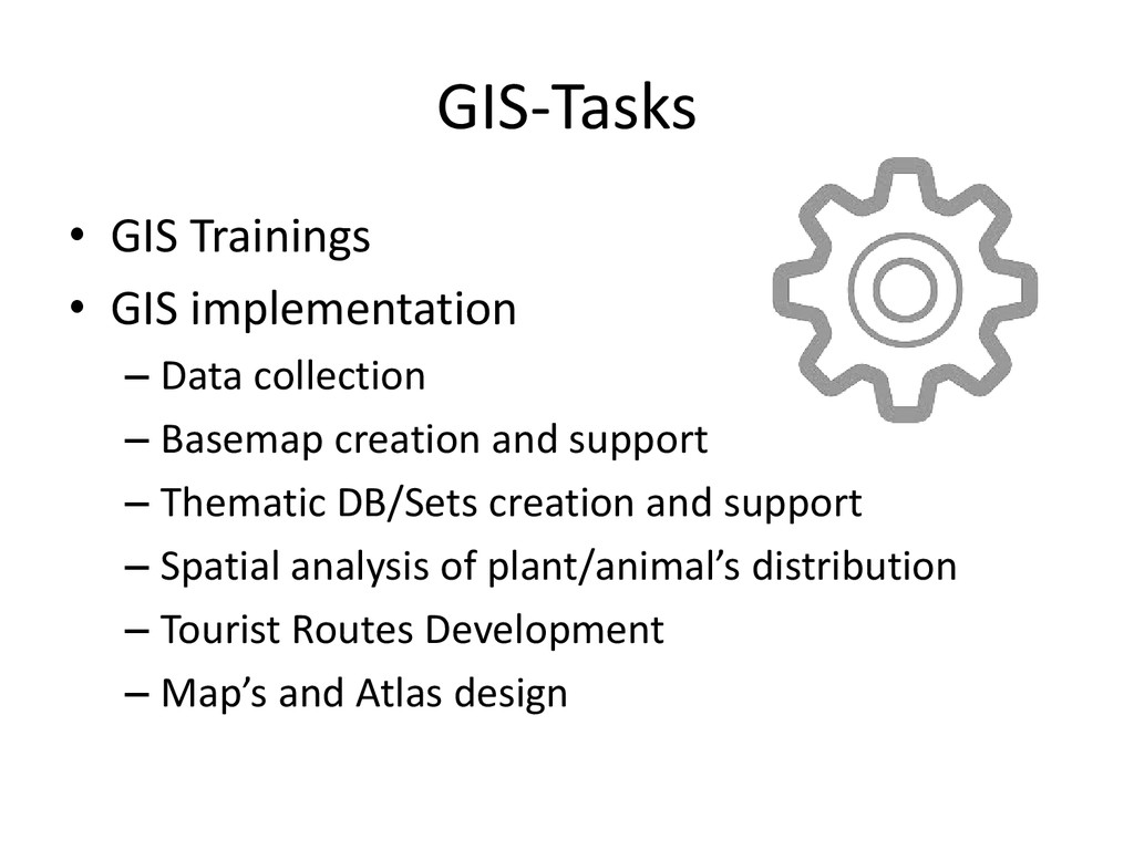
GIS-Tasks • GIS Trainings • GIS implementation – Data collection
– Basemap creation and support – Thematic DB/Sets creation and support – Spatial analysis of plant/animal’s distribution – Tourist Routes Development – Map’s and Atlas design
GIS Tools • ArcGIS Suite – ArcGIS for Desktop, Server,
Mobile – ArcGIS Online • OpenGeo Suite – QGIS – PostGIS, GeoServer, GeoExplorer – QGIS Mobile, NextGIS Mobile, ODK • OSM Tools – JOSM, ArcGIS Editor for OSM, Vespucci
PM Tools • Sharepoint (internal) – OneDrive – Outlook –
Sites • GoogleDocs (example) • MapCarft (example) • ArcGIS Task Assistant Manager
Links • CartoLab (old) • CartoLab on Vimeo • CartoLab's
Photostream • Talks by CartoLab • GIS and PAs Seminar