Share
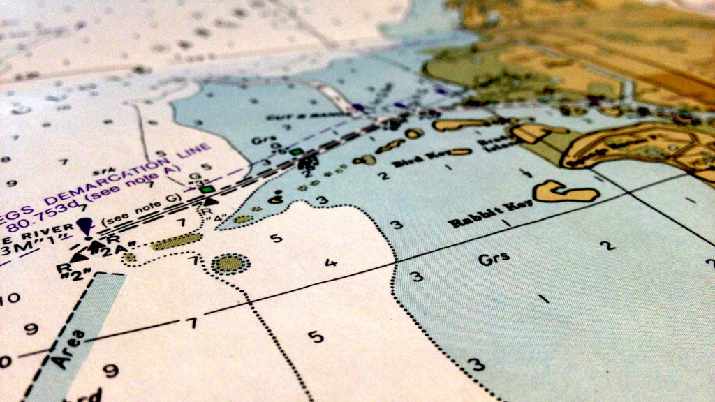
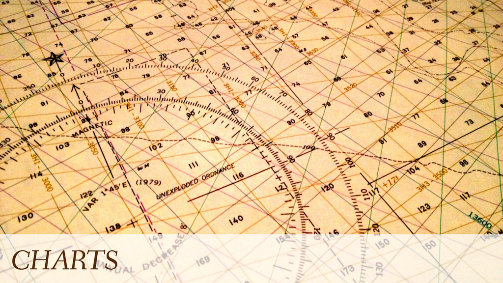
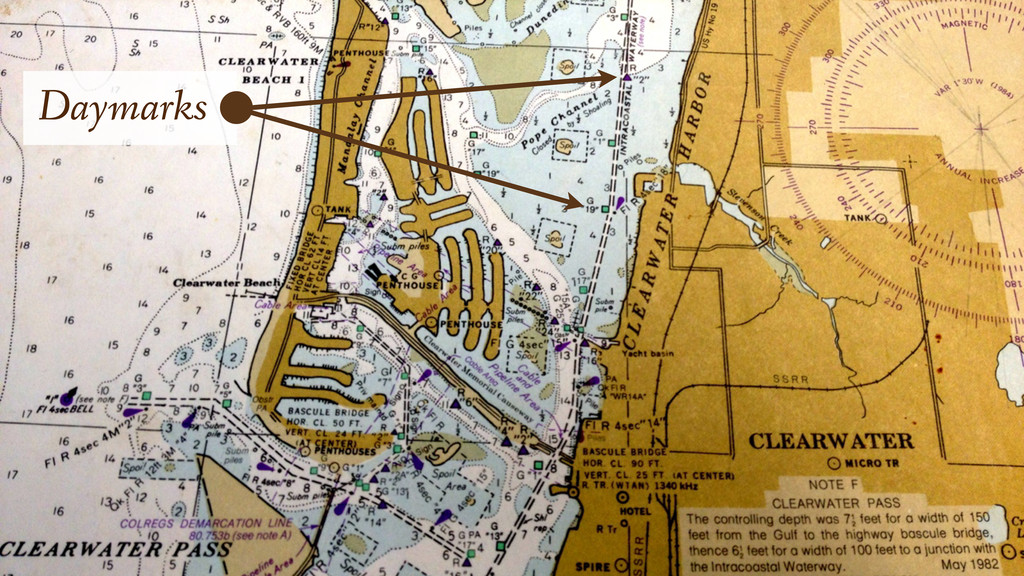
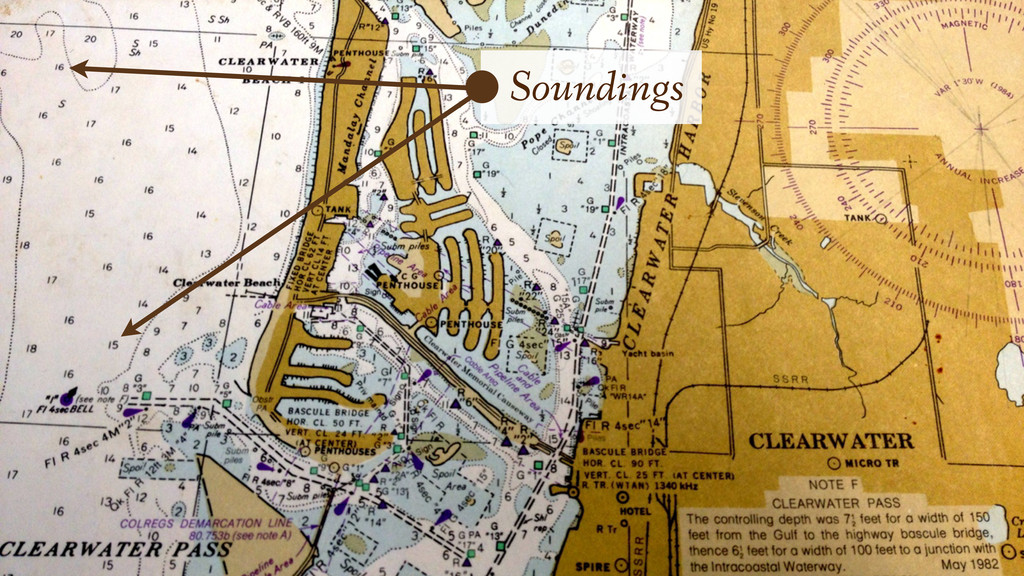
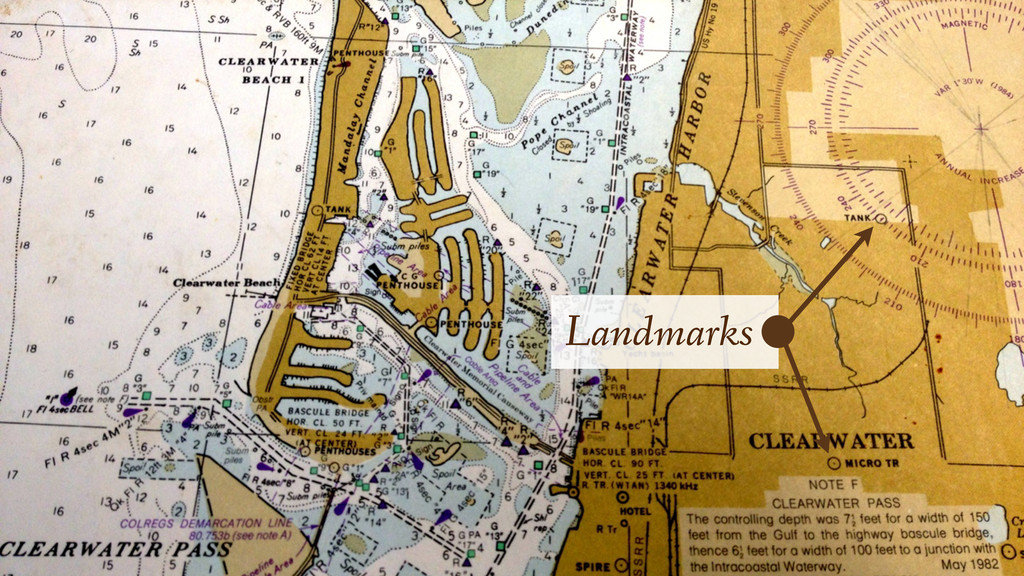
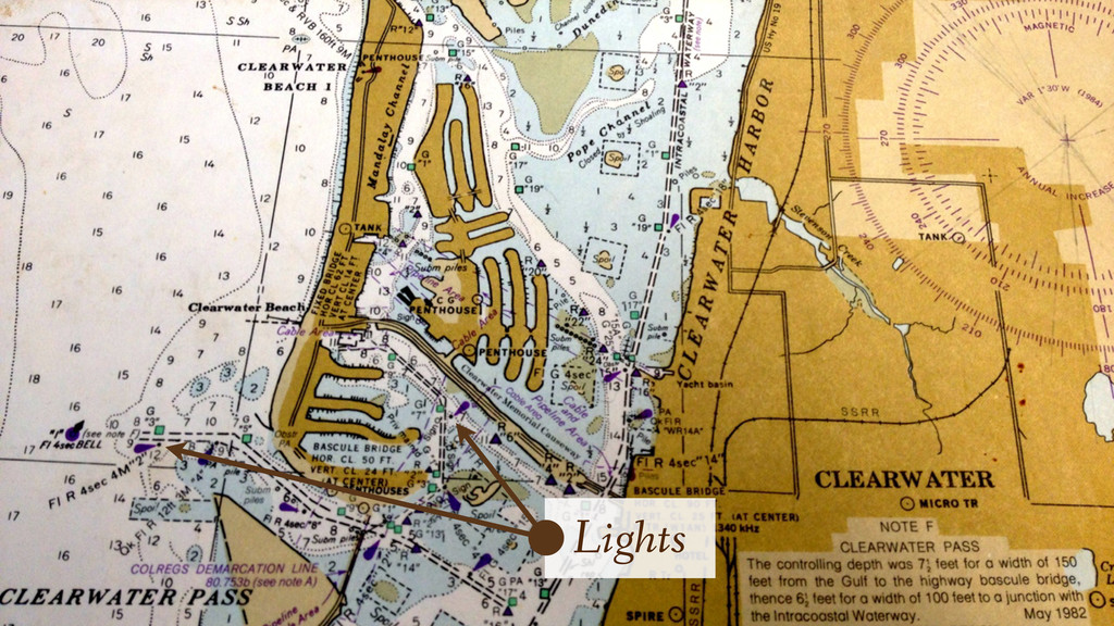
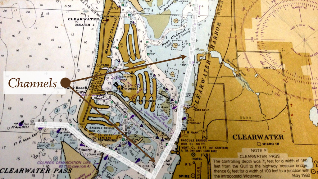
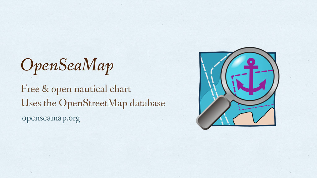
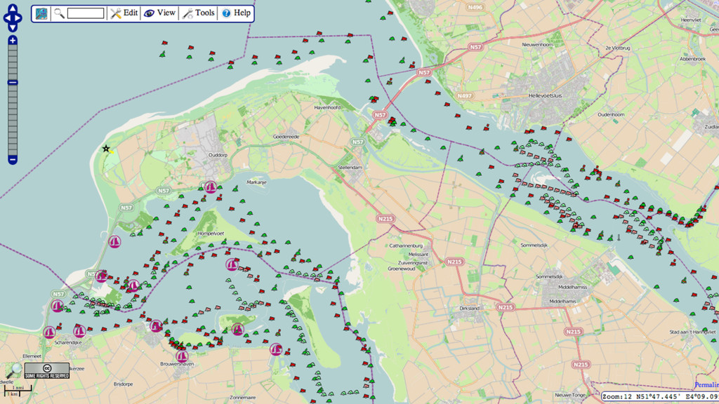
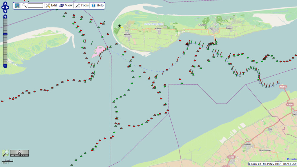
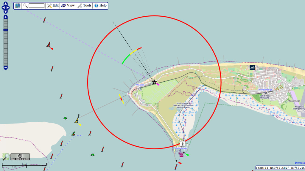
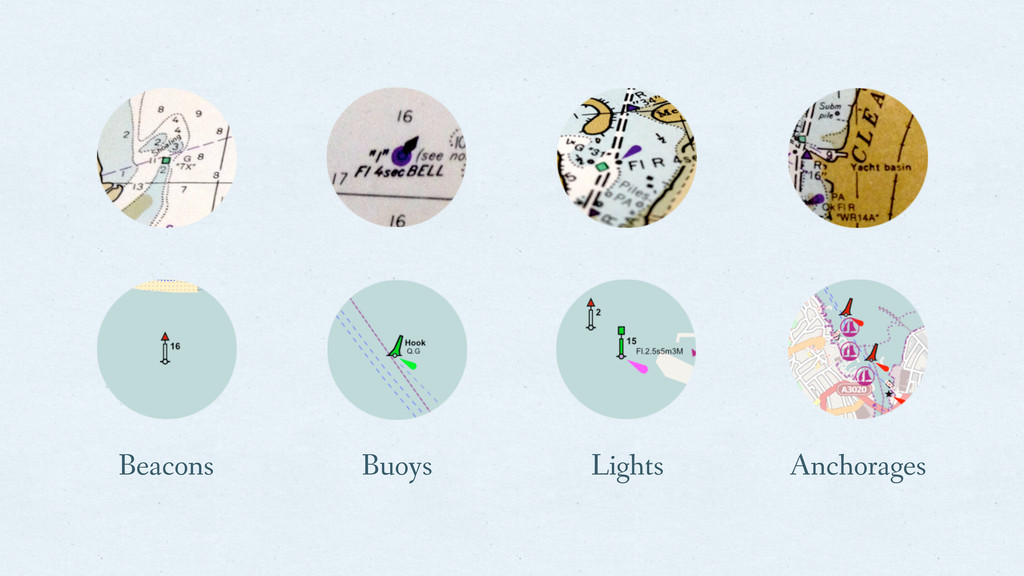
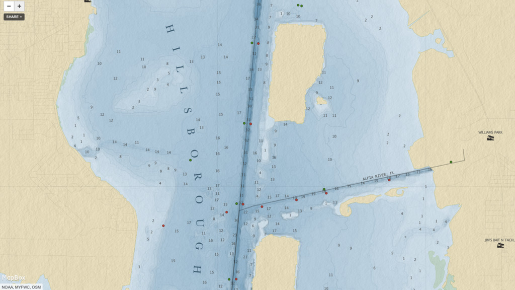
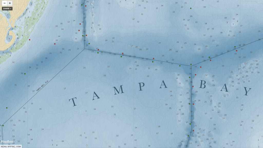
A talk about surveying nautical aids-to-navigation, landmarks, and features, and how to map them in OpenStreetMap.
![Thanks! http://j.mp/seamarks http://openseamap.org/ https://github.com/omniscale/imposm https://github.com/colemanm/spinnaker [email protected]](https://files.speakerdeck.com/presentations/507c23c16a8416000206395b/slide_39.jpg)