Upgrade to Pro — share decks privately, control downloads, hide ads and more …

[FOSS4G 2016] Point Clouds

Sponsored · Your Podcast. Everywhere. Effortlessly. Share. Educate. Inspire. Entertain. You do you. We'll handle the rest. →
Avatar for Daniel Kastl Daniel Kastl
August 26, 2016
35

[FOSS4G 2016] Point Clouds

Avatar for Daniel Kastl

Daniel Kastl

August 26, 2016

Transcript

  1. About me Geographer, Mapper, Software Developer Maintainer of the pgRouting

    Project Founder of Georepublic Living in Germany and Japan Enjoy Open Source FOSS4G and OSM Working with Point Clouds 2
  2. 4

  3. 5

  4. 6

  5. 7

  6. 9

  7. 10

  8. 11

  9. 12

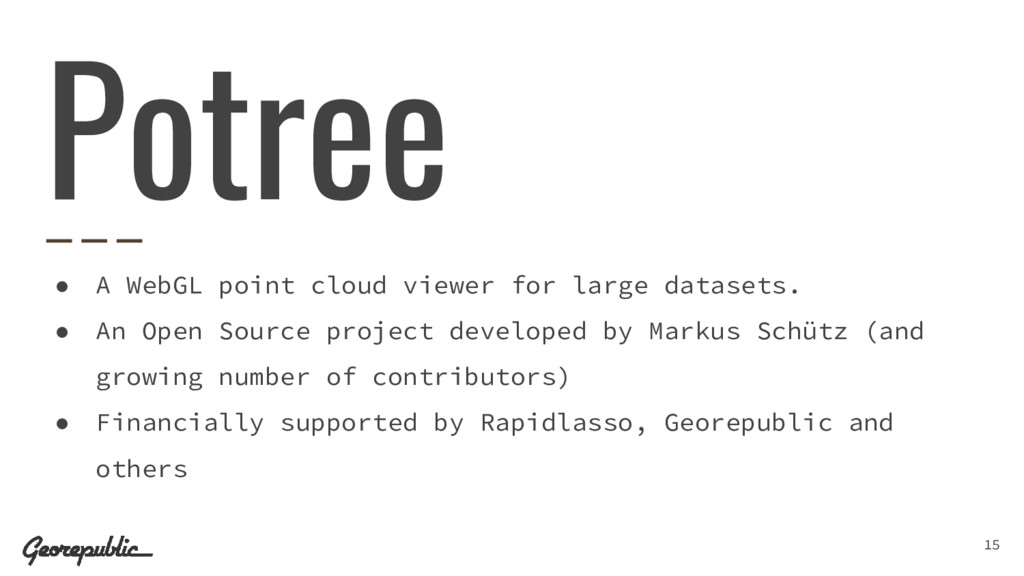
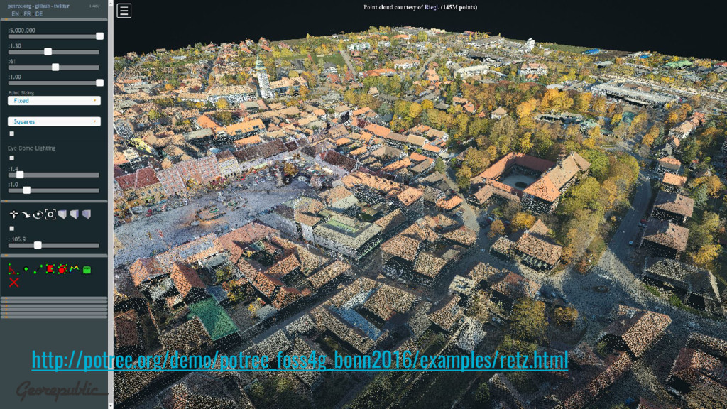
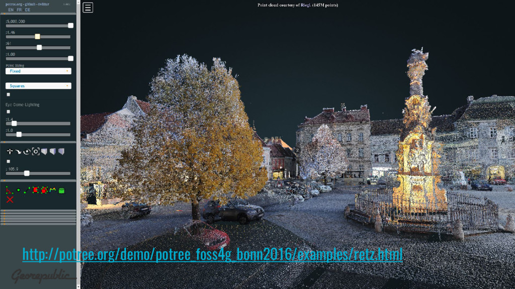
  10. • A WebGL point cloud viewer for large datasets. •

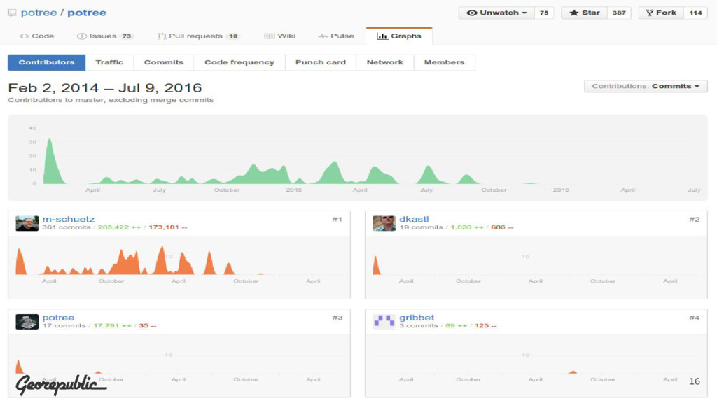
    An Open Source project developed by Markus Schütz (and growing number of contributors) • Financially supported by Rapidlasso, Georepublic and others Potree 15
  11. 16

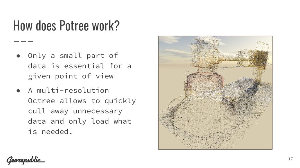
  12. • Only a small part of data is essential for

    a given point of view • A multi-resolution Octree allows to quickly cull away unnecessary data and only load what is needed. 17 How does Potree work?
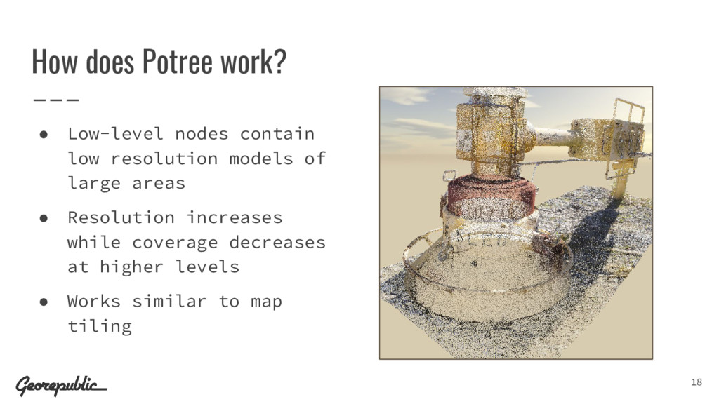
  13. • Low-level nodes contain low resolution models of large areas

    • Resolution increases while coverage decreases at higher levels • Works similar to map tiling 18 How does Potree work?
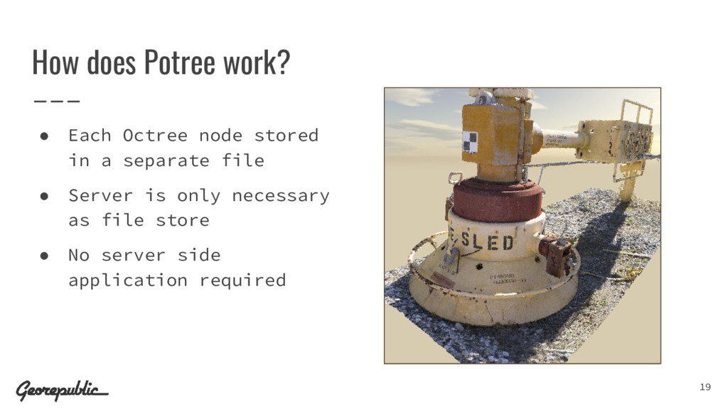
  14. • Each Octree node stored in a separate file •

    Server is only necessary as file store • No server side application required 19 How does Potree work?
  15. Potree Javascript Library • Data conversion with the PotreeConverter •

    Uses Three.js rendering engine and inherits its capabilities • Client-side LAS and LAZ support from Plas.io • API for (measurement) tools • Open Source license (BSD) 20
  16. Data format (PotreeConverter) • Input: ◦ las, laz and ply

    files • Output: ◦ Cloud.js file for metadata (BBOX, spacing, storage format) ◦ Octree nodes (las, laz or bin format) with position, color, intensity and classification information ◦ hrc files for the Octree hierarchy 21
  17. Features at a Glance • Rendering billions of points in

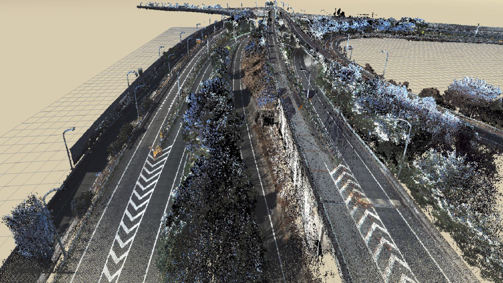
    web browsers • Adaptive point size - adjust point size to reduce holes • Eye-Dome-Lighting (EDL) - illumination without normals • Renders RGB, elevation, intensity, classification, etc. • High-quality rendering modes (interpolation & splats) • Distance and area measurements, height profiles • Clipping volumes 22
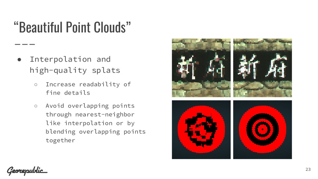
  18. “Beautiful Point Clouds” • Interpolation and high-quality splats ◦ Increase

    readability of fine details ◦ Avoid overlapping points through nearest-neighbor like interpolation or by blending overlapping points together 23
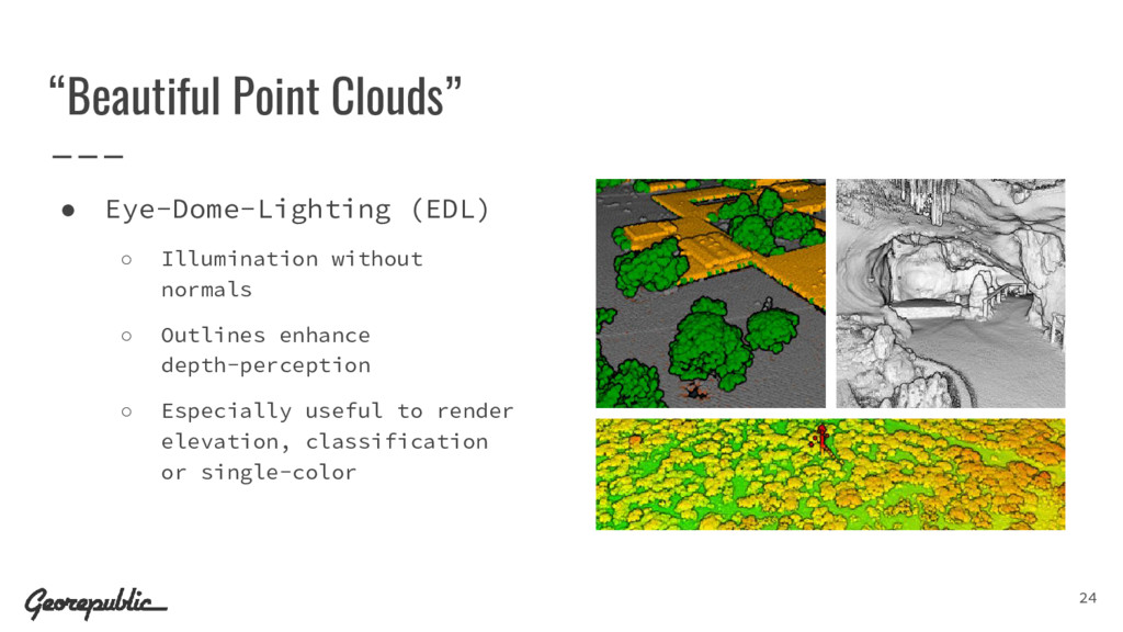
  19. “Beautiful Point Clouds” • Eye-Dome-Lighting (EDL) ◦ Illumination without normals

    ◦ Outlines enhance depth-perception ◦ Especially useful to render elevation, classification or single-color 24
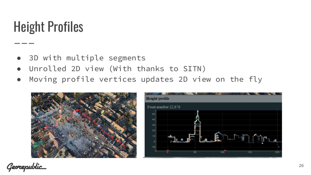
  20. Height Profiles • 3D with multiple segments • Unrolled 2D

    view (With thanks to SITN) • Moving profile vertices updates 2D view on the fly 26
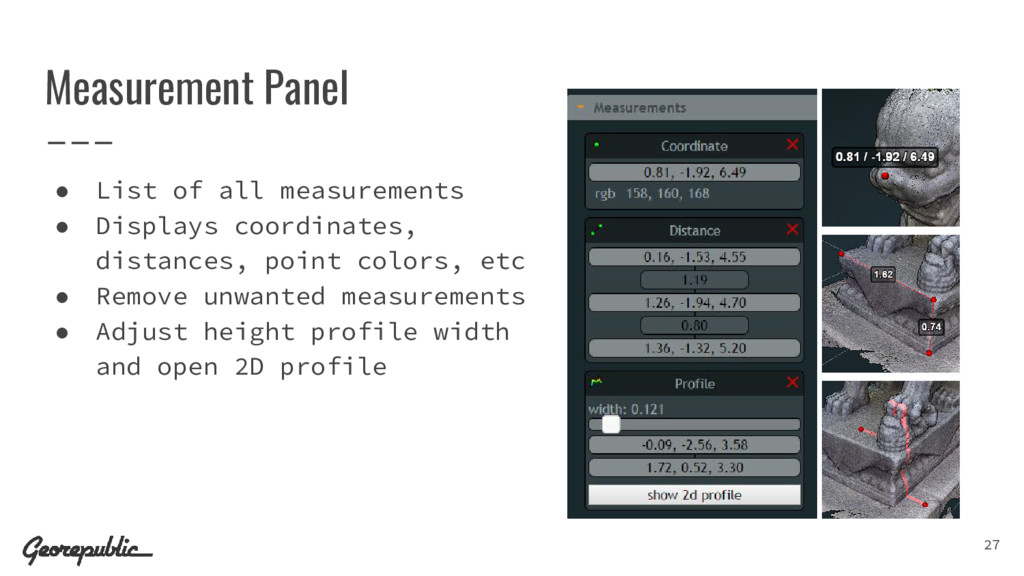
  21. Measurement Panel • List of all measurements • Displays coordinates,

    distances, point colors, etc • Remove unwanted measurements • Adjust height profile width and open 2D profile 27
  22. Limitations • Browser security policies require to run Potree from

    a web-server. • Requires WebGL capable browsers and devices • Only for viewing and analyzing, not manipulation of data. 31
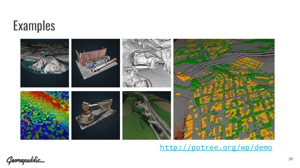
  23. Who is using Potree? • Various Companies and Institutions •

    As well as researchers, students, digital heritage, ... 32
  24. More Projects • Entwine (Point cloud indexing for massive datasets)

    • Greyhound (Data streaming and serving environment for PDAL) • iTowns project (3D WebGL geospatial visualization) • 3D-Tiles (Specification for streaming massive heterogeneous 3D geospatial datasets) • pgPointcloud (PostgreSQL extension for point cloud data) 33
  25. Version 1.4RC released - What comes next? • Potree 1.4,

    End of 2016 ◦ Faster Conversion ◦ Improved File Format (50% less space, fewer files) ◦ Greyhound/Entwine support (implemented by Hobu & NLeSC) • Afterwards ◦ Projecting maps onto point clouds in real time ◦ Load and display point cloud formats without conversion ◦ Virtual Reality, Tools, Analysis, ... 35