Biljecki 2, Giorgio Agugiaro 1, Ken Arroyo Ohori 1, Claire Ellul 3, Lars Harrie 4, and Jantien Stoter 1 1 Delft University of Technology, Netherlands 2 National University of Singapore, Singapore 3 University College London, UK 4 Lund University, Sweden
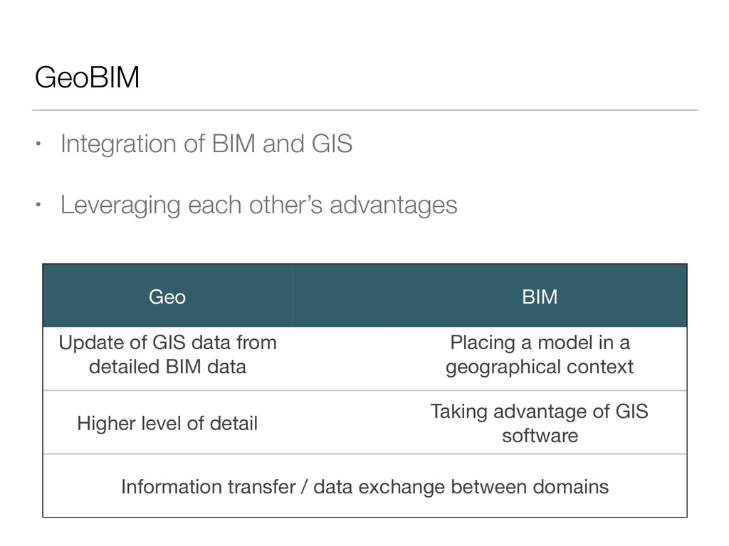
other’s advantages Geo BIM Update of GIS data from detailed BIM data Placing a model in a geographical context Higher level of detail Taking advantage of GIS software Information transfer / data exchange between domains
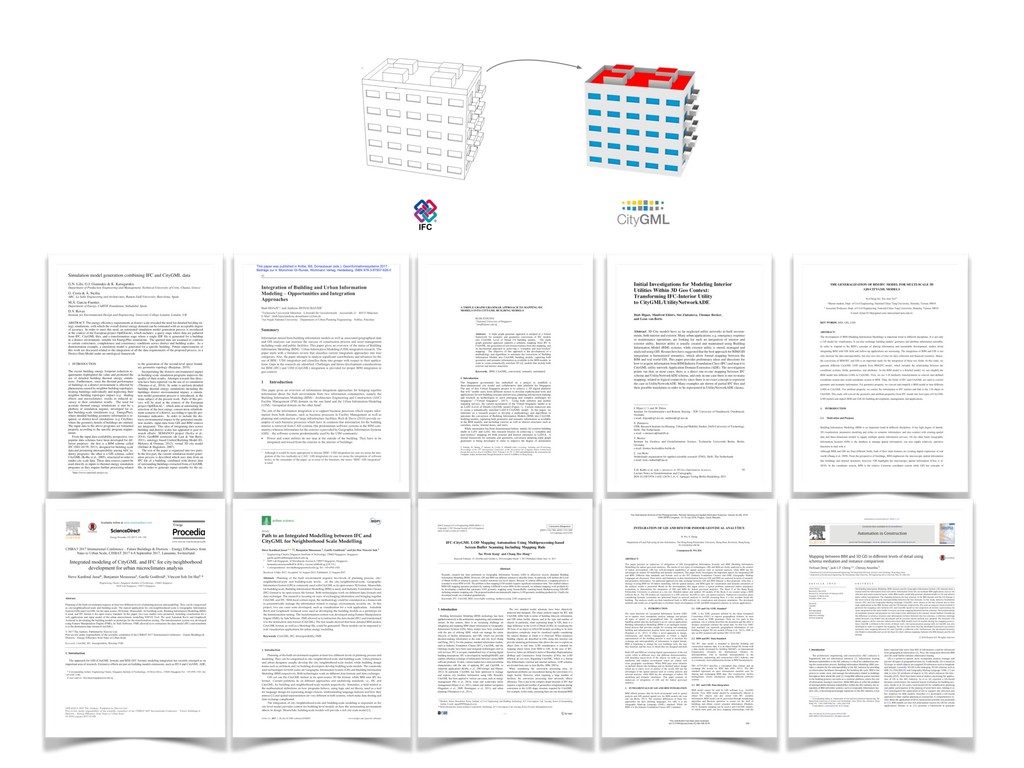
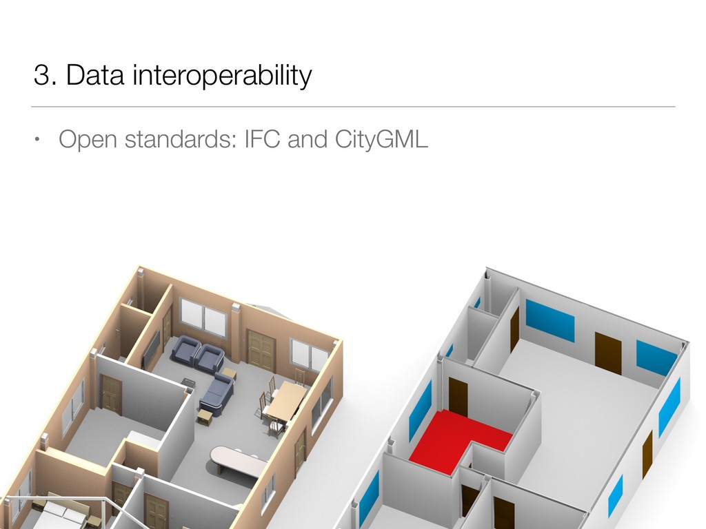
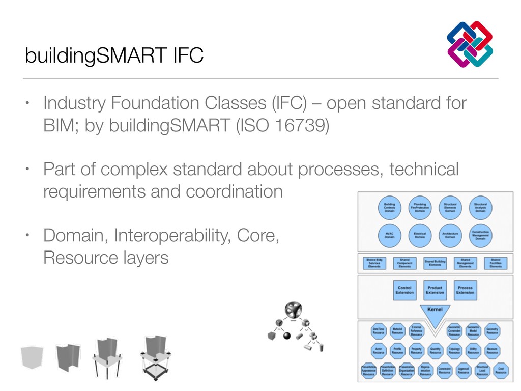
for BIM; by buildingSMART (ISO 16739) • Part of complex standard about processes, technical requirements and coordination • Domain, Interoperability, Core, Resource layers
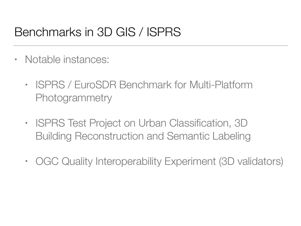
ISPRS / EuroSDR Benchmark for Multi-Platform Photogrammetry • ISPRS Test Project on Urban Classification, 3D Building Reconstruction and Semantic Labeling • OGC Quality Interoperability Experiment (3D validators)
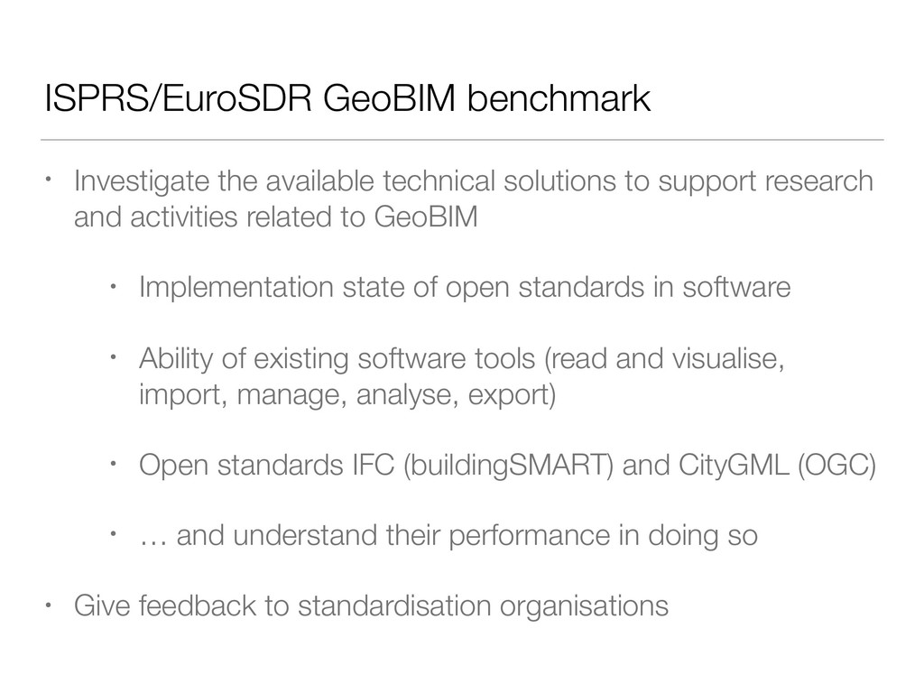
support research and activities related to GeoBIM • Implementation state of open standards in software • Ability of existing software tools (read and visualise, import, manage, analyse, export) • Open standards IFC (buildingSMART) and CityGML (OGC) • … and understand their performance in doing so • Give feedback to standardisation organisations
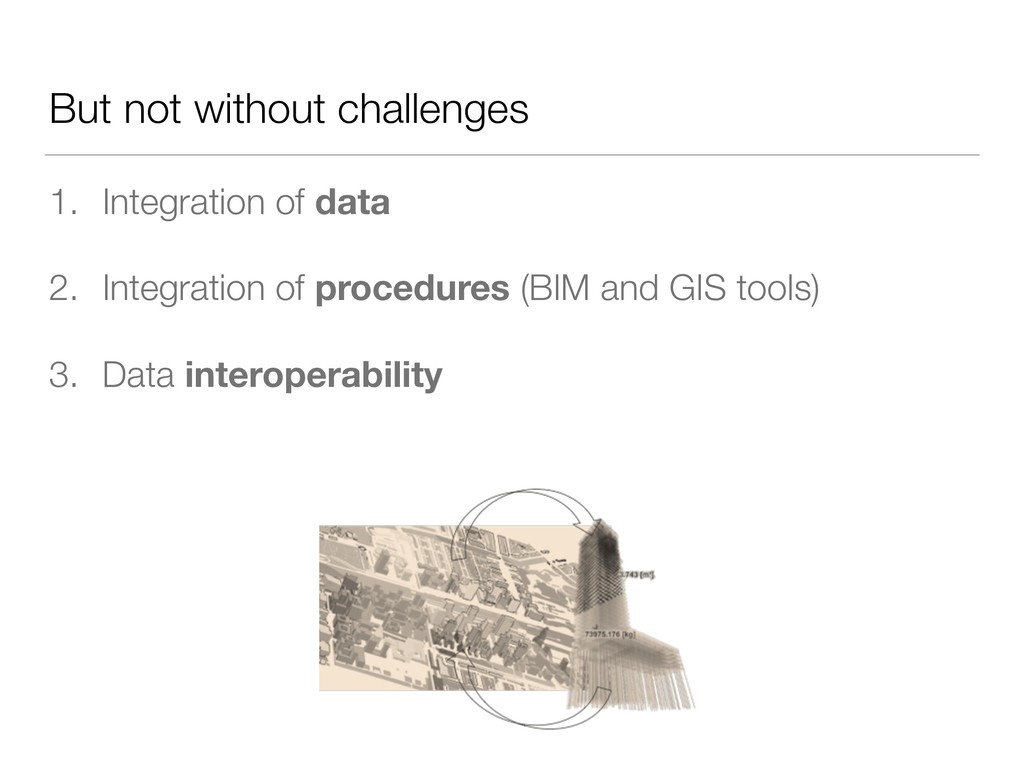
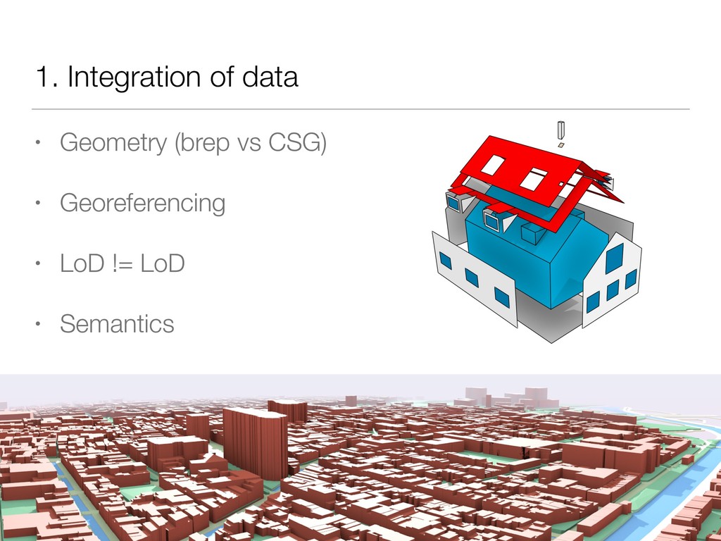
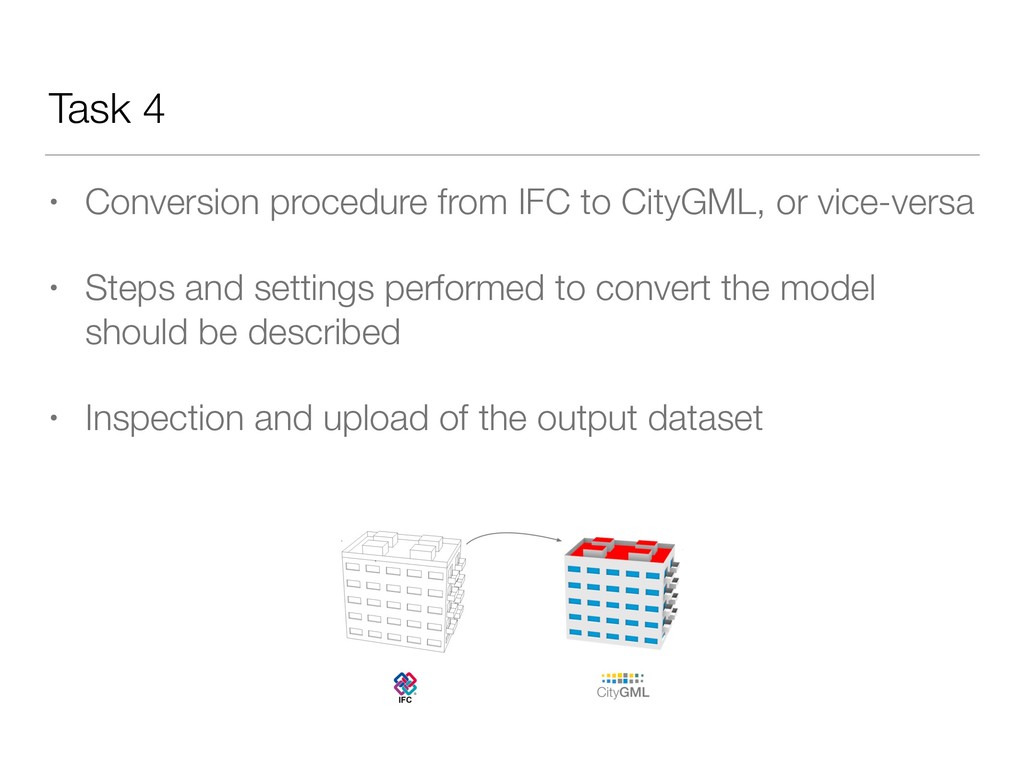
Performance: e.g. loss of information • Ability to handle large datasets • Georeferencing • Conversion procedures No ‘winner’ nor ‘loser’ will emerge, but a scientific insight into the offered functionality.
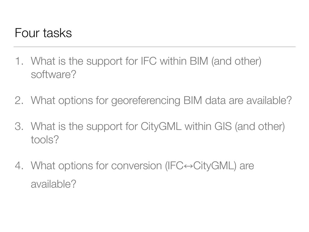
BIM (and other) software? 2. What options for georeferencing BIM data are available? 3. What is the support for CityGML within GIS (and other) tools? 4. What options for conversion (IFC㲗CityGML) are available?
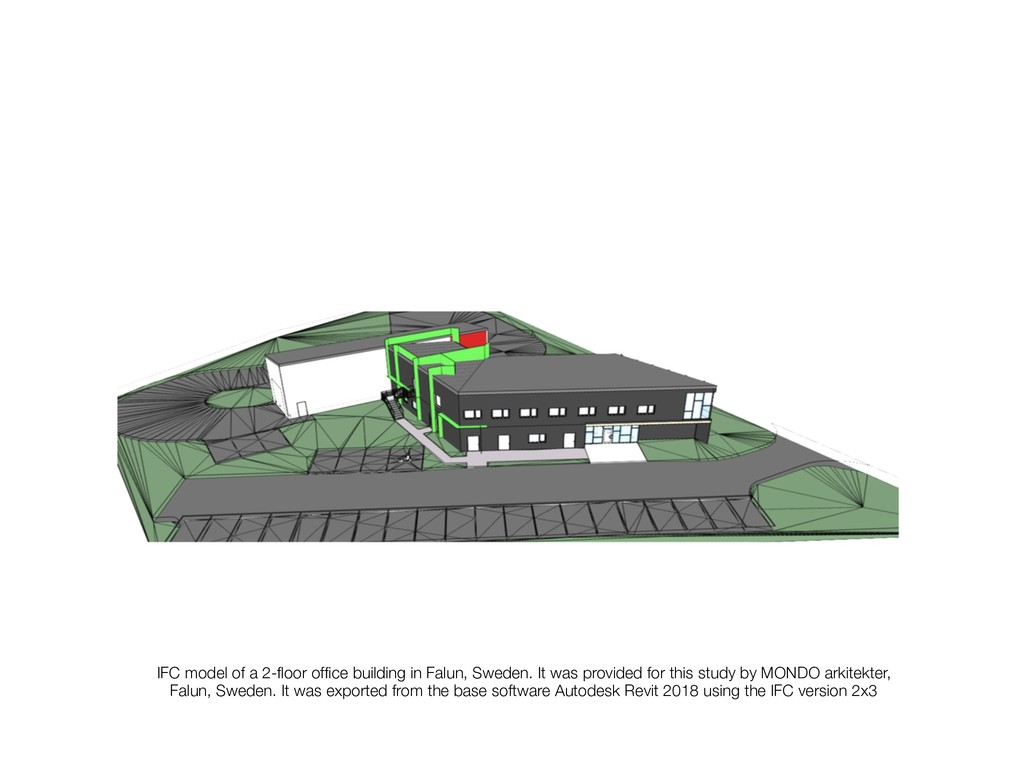
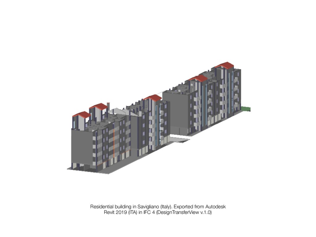
It was provided for this study by MONDO arkitekter, Falun, Sweden. It was exported from the base software Autodesk Revit 2018 using the IFC version 2x3
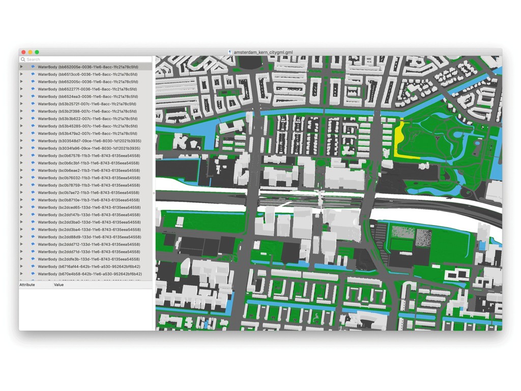
seamless 3D city model (buildings, roads, vegetation, and so on). It was produced with the software 3dfier by the TU Delft 3D Geoinformation Group, and slightly modified for the purposes of the benchmark.
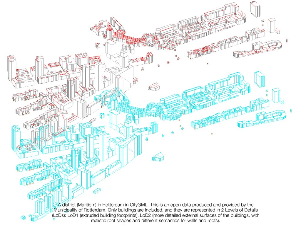
open data produced and provided by the Municipality of Rotterdam. Only buildings are included, and they are represented in 2 Levels of Details (LoDs): LoD1 (extruded building footprints), LoD2 (more detailed external surfaces of the buildings, with realistic roof shapes and different semantics for walls and roofs).
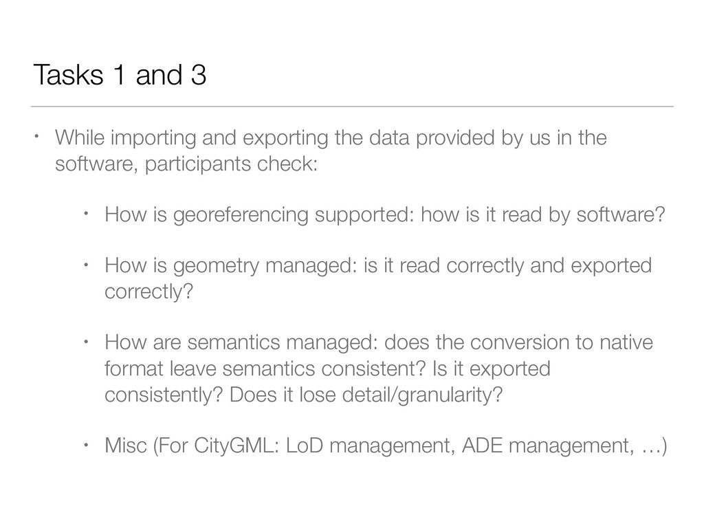
data provided by us in the software, participants check: • How is georeferencing supported: how is it read by software? • How is geometry managed: is it read correctly and exported correctly? • How are semantics managed: does the conversion to native format leave semantics consistent? Is it exported consistently? Does it lose detail/granularity? • Misc (For CityGML: LoD management, ADE management, …)
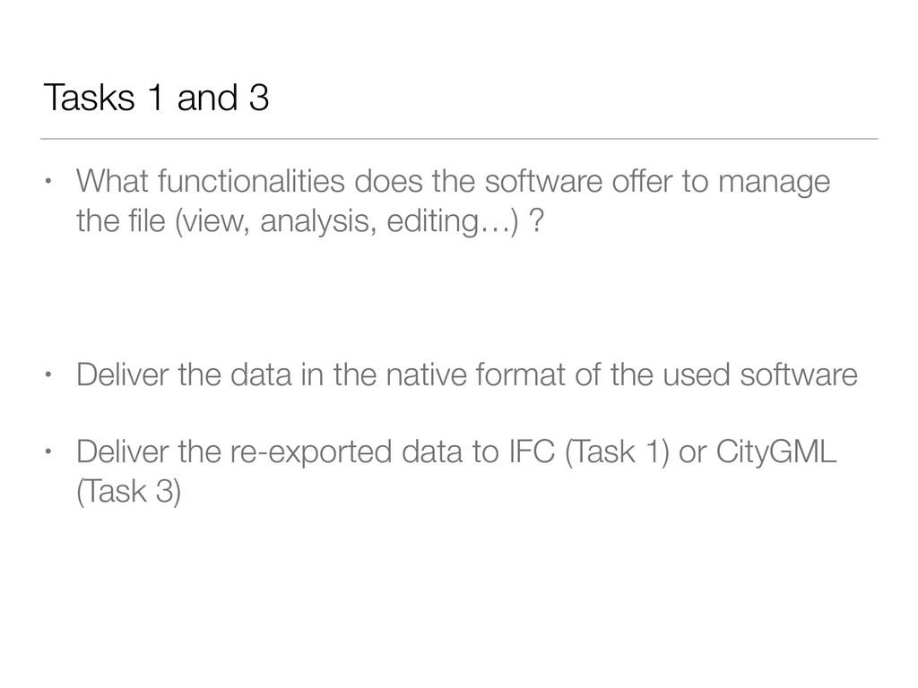
offer to manage the file (view, analysis, editing…) ? • Deliver the data in the native format of the used software • Deliver the re-exported data to IFC (Task 1) or CityGML (Task 3)
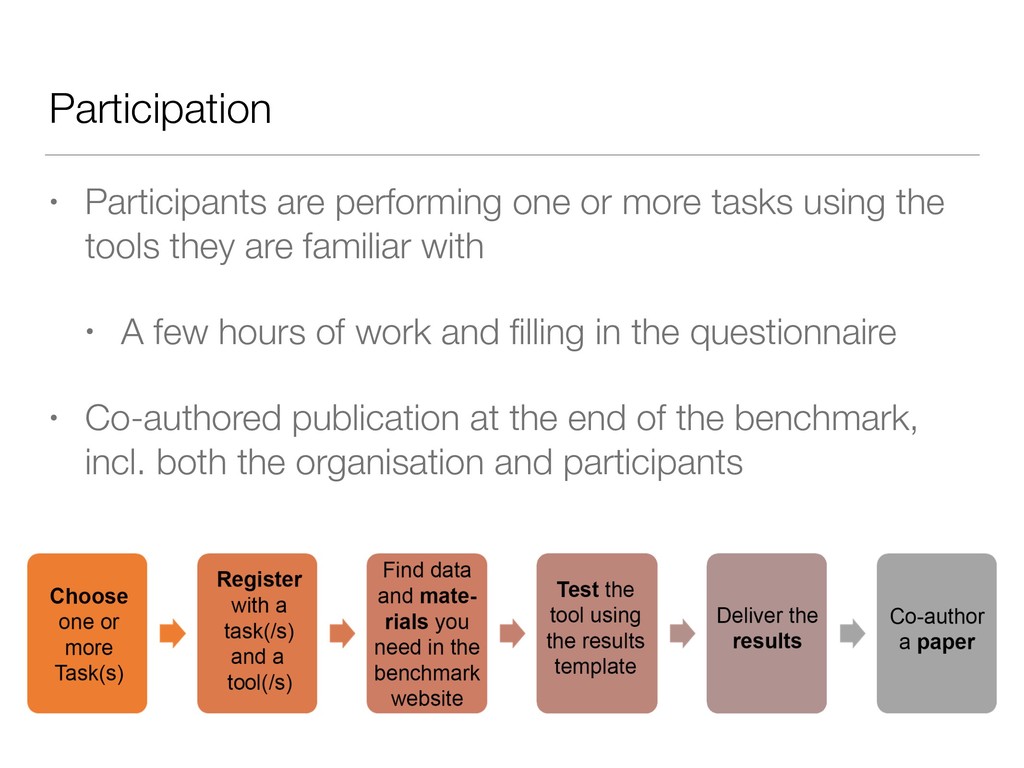
the tools they are familiar with • A few hours of work and filling in the questionnaire • Co-authored publication at the end of the benchmark, incl. both the organisation and participants
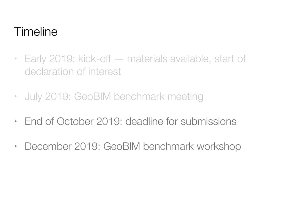
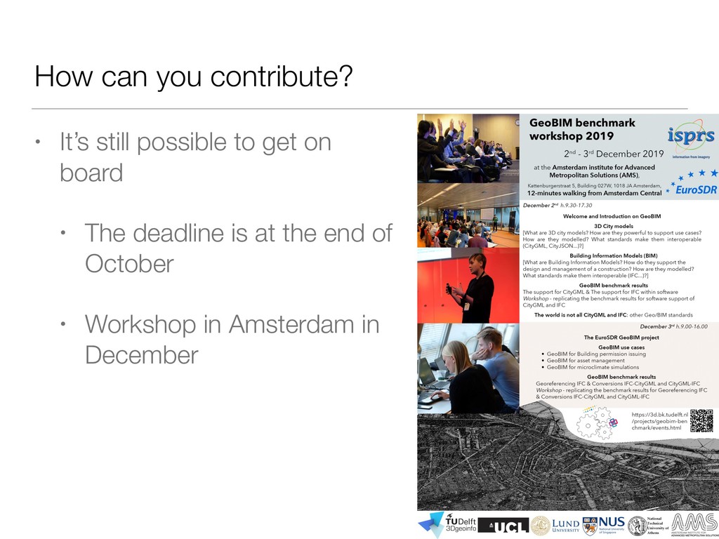
declaration of interest • July 2019: GeoBIM benchmark meeting • End of October 2019: deadline for submissions • December 2019: GeoBIM benchmark workshop
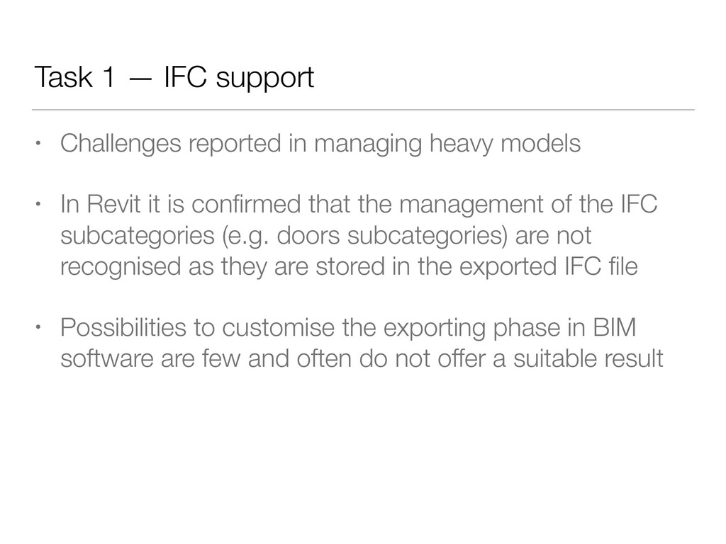
heavy models • In Revit it is confirmed that the management of the IFC subcategories (e.g. doors subcategories) are not recognised as they are stored in the exported IFC file • Possibilities to customise the exporting phase in BIM software are few and often do not offer a suitable result
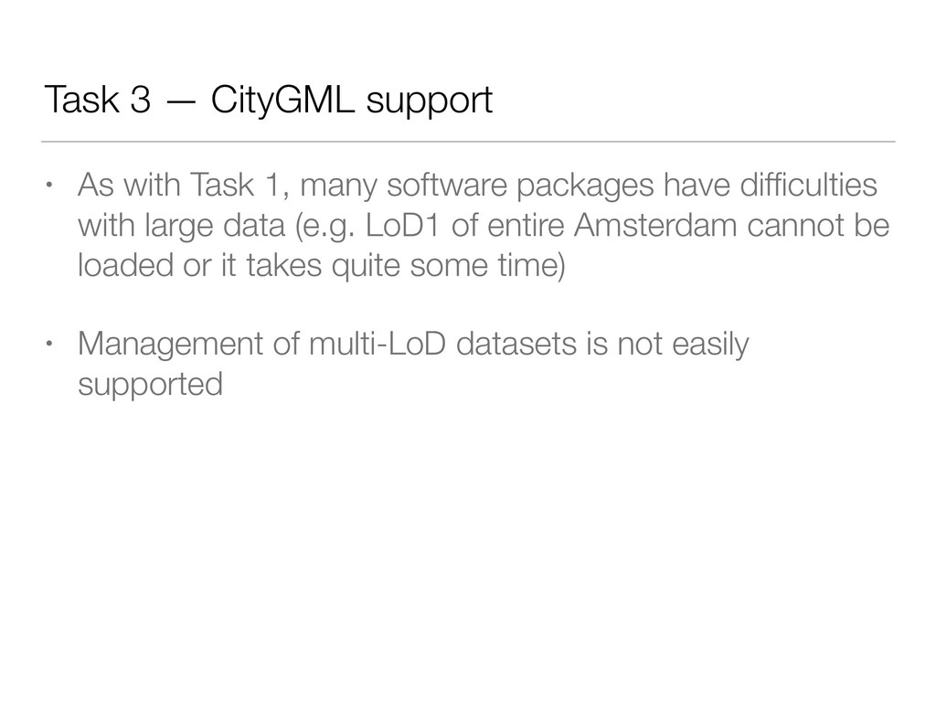
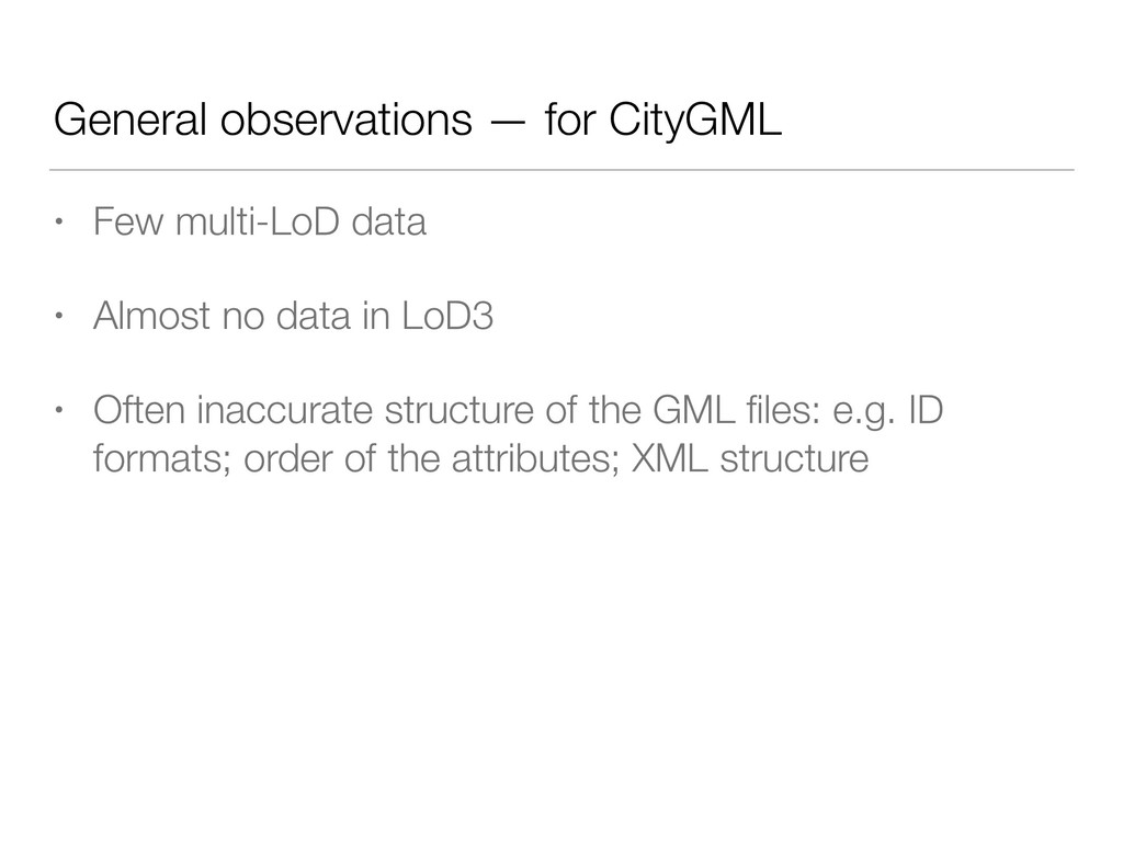
many software packages have difficulties with large data (e.g. LoD1 of entire Amsterdam cannot be loaded or it takes quite some time) • Management of multi-LoD datasets is not easily supported
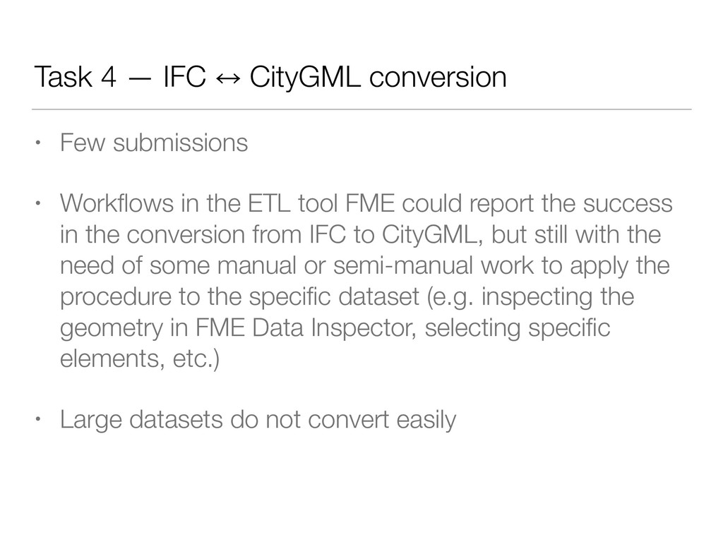
• Workflows in the ETL tool FME could report the success in the conversion from IFC to CityGML, but still with the need of some manual or semi-manual work to apply the procedure to the specific dataset (e.g. inspecting the geometry in FME Data Inspector, selecting specific elements, etc.) • Large datasets do not convert easily
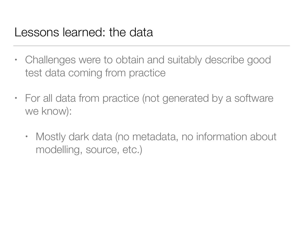
suitably describe good test data coming from practice • For all data from practice (not generated by a software we know): • Mostly dark data (no metadata, no information about modelling, source, etc.)
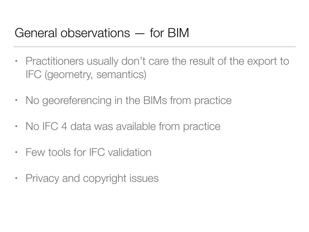
the result of the export to IFC (geometry, semantics) • No georeferencing in the BIMs from practice • No IFC 4 data was available from practice • Few tools for IFC validation • Privacy and copyright issues
a better picture of the state of software support for these two open standards and their integration • Formulation of recommendations for further development of the standards and the software that implements them • Unexpected lessons learned: sourcing data • Looking forward to the final results! Acknowledgements The benchmark is funded by ISPRS and EuroSDR. This project has also received funding from the European Research Council (ERC) under the European Union’s Horizon2020 Research & Innovation Programme (grant agreement no. 677312 Urban modelling in higher dimensions).
Biljecki 2, Giorgio Agugiaro 1, Ken Arroyo Ohori 1, Claire Ellul 3, Lars Harrie 4, and Jantien Stoter 1 1 Delft University of Technology, Netherlands 2 National University of Singapore, Singapore 3 University College London, UK 4 Lund University, Sweden