Upgrade to Pro
— share decks privately, control downloads, hide ads and more …
Speaker Deck
Features
Speaker Deck
PRO
Sign in
Sign up for free
Search
Search
FOSS4G 2015 Tokyo Vector Tiles Pt. 6
Search
Sponsored
·
Your Podcast. Everywhere. Effortlessly.
Share. Educate. Inspire. Entertain. You do you. We'll handle the rest.
→
Hidenori FUJIMURA
October 09, 2015
140
0
Share
Embed
Copy iframe code
Copy JS code
Copy link
Start on current slide
FOSS4G 2015 Tokyo Vector Tiles Pt. 6
Hidenori FUJIMURA
October 09, 2015
More Decks by Hidenori FUJIMURA
See All by Hidenori FUJIMURA
みんなに伝わる防災マップ
hfu
0
170
未来の繁栄のためのスマート地図
hfu
0
190
Smart Maps for the prosperity in the future
hfu
0
280
Smart Maps and Bazaar
hfu
0
210
Sensemaking with Smart Maps
hfu
0
140
Smart Maps for the United Nations, with the United Nations
hfu
0
190
UN Smart Maps
hfu
0
230
スマート地図バザールによる地図XMLのタイル配信
hfu
0
140
国土地理院におけるベース・レジストリの整備とDX推進への取り組み
hfu
0
330
Featured
See All Featured
Done Done
chrislema
186
16k
A Soul's Torment
seathinner
6
3k
The Psychology of Web Performance [Beyond Tellerrand 2023]
tammyeverts
49
3.5k
From π to Pie charts
rasagy
0
230
Sharpening the Axe: The Primacy of Toolmaking
bcantrill
46
2.9k
Learning to Love Humans: Emotional Interface Design
aarron
275
41k
Refactoring Trust on Your Teams (GOTO; Chicago 2020)
rmw
35
3.5k
Getting science done with accelerated Python computing platforms
jacobtomlinson
2
260
世界の人気アプリ100個を分析して見えたペイウォール設計の心得
akihiro_kokubo
PRO
72
40k
Designing Dashboards & Data Visualisations in Web Apps
destraynor
231
55k
Agile Leadership in an Agile Organization
kimpetersen
PRO
0
180
Reflections from 52 weeks, 52 projects
jeffersonlam
356
21k
Transcript
Ministry of Land, Infrastructure, Transport and Tourism Geospatial Information Authority
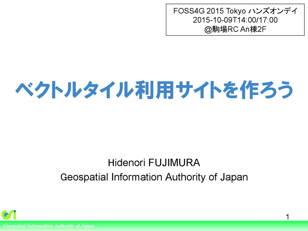
of Japan ベクトルタイル利用サイトを作ろう Hidenori FUJIMURA Geospatial Information Authority of Japan 1 FOSS4G 2015 Tokyo ハンズオンデイ 2015-10-09T14:00/17:00 @駒場RC An棟2F
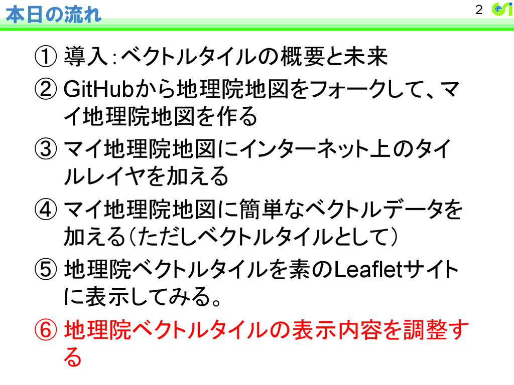
本日の流れ ① 導入:ベクトルタイルの概要と未来 ② GitHubから地理院地図をフォークして、マ イ地理院地図を作る ③ マイ地理院地図にインターネット上のタイ ルレイヤを加える ④ マイ地理院地図に簡単なベクトルデータを 加える(ただしベクトルタイルとして) ⑤ 地理院ベクトルタイルを素のLeafletサイト に表示してみる。
⑥ 地理院ベクトルタイルの表示内容を調整す る 2
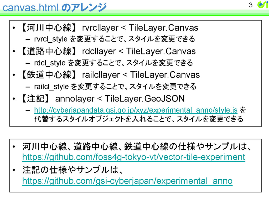
canvas.html のアレンジ • 【河川中心線】 rvrcllayer < TileLayer.Canvas – rvrcl_style を変更することで、スタイルを変更できる •
【道路中心線】 rdcllayer < TileLayer.Canvas – rdcl_style を変更することで、スタイルを変更できる • 【鉄道中心線】 railcllayer < TileLayer.Canvas – railcl_style を変更することで、スタイルを変更できる • 【注記】 annolayer < TileLayer.GeoJSON – http://cyberjapandata.gsi.go.jp/xyz/experimental_anno/style.js を 代替するスタイルオブジェクトを入れることで、スタイルを変更できる 3 • 河川中心線、道路中心線、鉄道中心線の仕様やサンプルは、 https://github.com/foss4g-tokyo-vt/vector-tile-experiment • 注記の仕様やサンプルは、 https://github.com/gsi-cyberjapan/experimental_anno
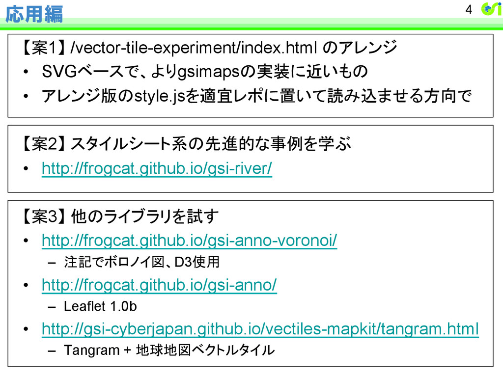
応用編 【案1】 /vector-tile-experiment/index.html のアレンジ • SVGベースで、よりgsimapsの実装に近いもの • アレンジ版のstyle.jsを適宜レポに置いて読み込ませる方向で 【案2】 スタイルシート系の先進的な事例を学ぶ
• http://frogcat.github.io/gsi-river/ 【案3】 他のライブラリを試す • http://frogcat.github.io/gsi-anno-voronoi/ – 注記でボロノイ図、D3使用 • http://frogcat.github.io/gsi-anno/ – Leaflet 1.0b • http://gsi-cyberjapan.github.io/vectiles-mapkit/tangram.html – Tangram + 地球地図ベクトルタイル 4
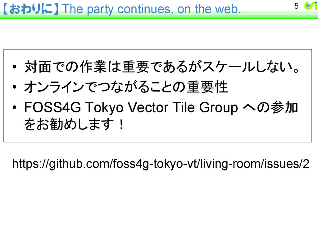
【おわりに】 The party continues, on the web. • 対面での作業は重要であるがスケールしない。 •
オンラインでつながることの重要性 • FOSS4G Tokyo Vector Tile Group への参加 をお勧めします! https://github.com/foss4g-tokyo-vt/living-room/issues/2 5