under UN Open GIS Initiative. Ø The initiative is to identify and develop an open-source GIS bundle that meets the requirements of UN operations. 2. A volunteer group of engineers, educators, and students, among others. 3. Open community of practice. Ø Do-ocracy which is common in open-source software community. 4. We define Smart Maps as application of modern web map technologies for informed decision. 5. Vision: keep web maps open for a better world. 6. Mission: test new technologies for future geospatial operations. 2
Research Center, Geospatial Information Authority of Japan • GSI Maps https://maps.gsi.go.jp/ • Address data development and standardization • Mission: Promote partnership through geospatial information. • Vision: Create a world where map engineers prosper. • Have been participating in open-source software with “for own use” model. • Taking the lead of UN Smart Maps Group. 3
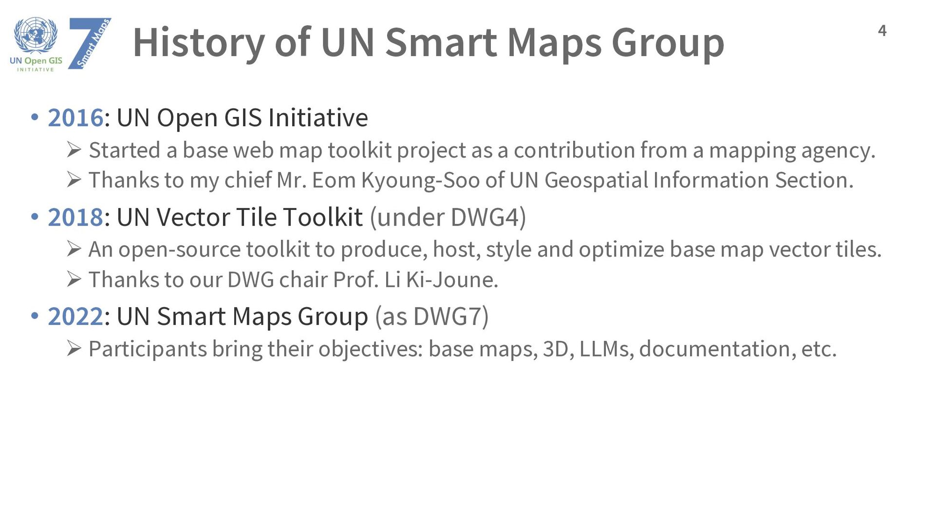
GIS Initiative Ø Started a base web map toolkit project as a contribution from a mapping agency. Ø Thanks to my chief Mr. Eom Kyoung-Soo of UN Geospatial Information Section. • 2018: UN Vector Tile Toolkit (under DWG4) Ø An open-source toolkit to produce, host, style and optimize base map vector tiles. Ø Thanks to our DWG chair Prof. Li Ki-Joune. • 2022: UN Smart Maps Group (as DWG7) Ø Participants bring their objectives: base maps, 3D, LLMs, documentation, etc. 4
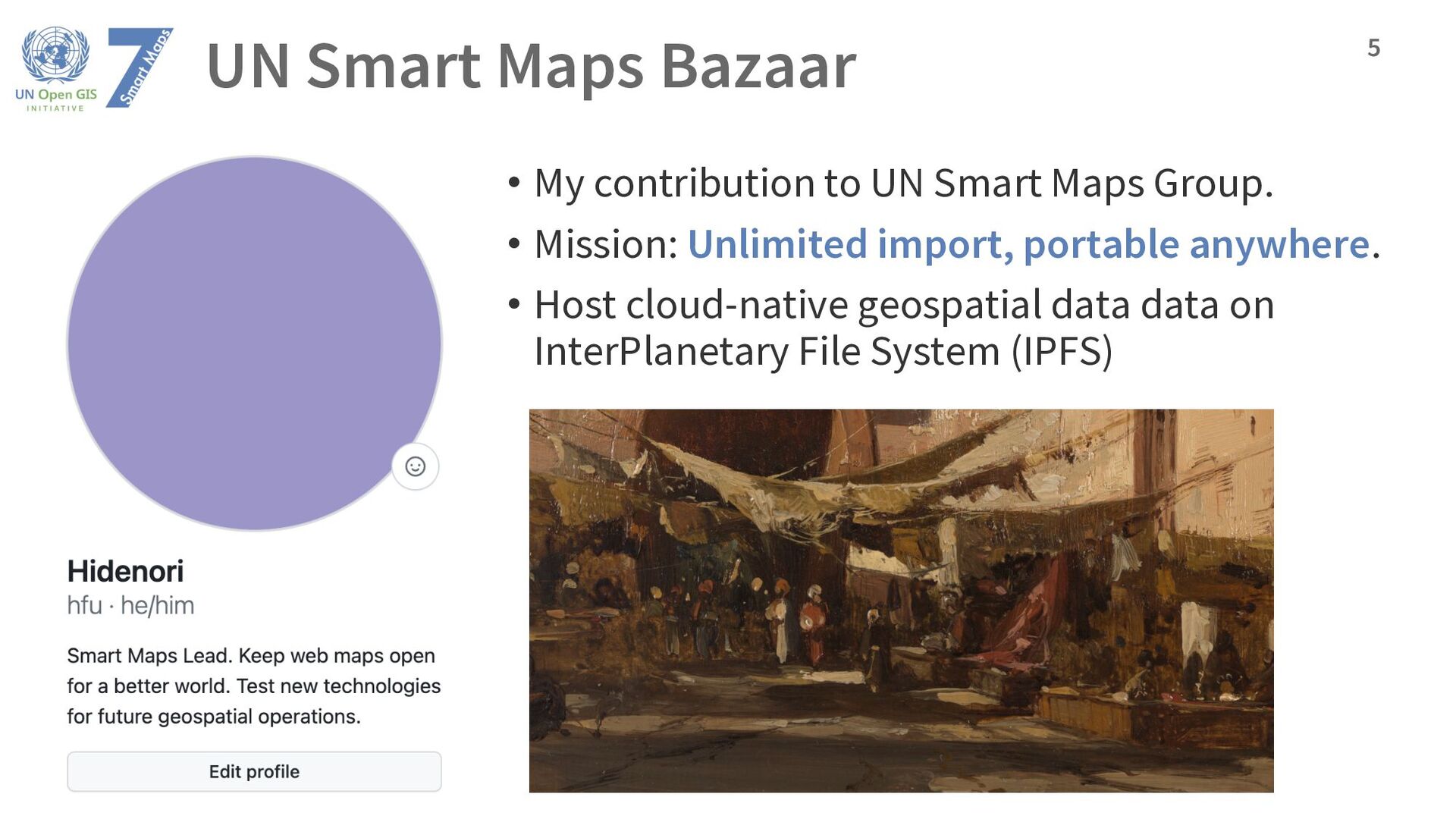
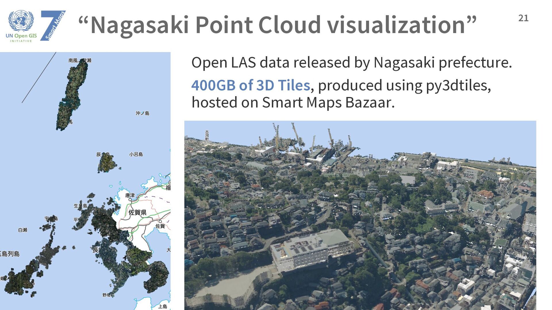
a personal scale, in 2D and 3D, is possible. • As long as the required read access remains minimal. • 3D is huge. • Terrain tiles up to 10m GSD (optimized webp): 5GB • Topographic maps or parcel polygons of a country: 20GB each • LiDAR point cloud of a prefecture: 400GB • Point cloud tiles of a prefecture is 20 times bigger than base map tiles of a country. • With IPFS: • You can make a backup online. • You can bring your backup anywhere at hand. Smart Maps Bazaar: Unlimited import, portable anywhere. 24
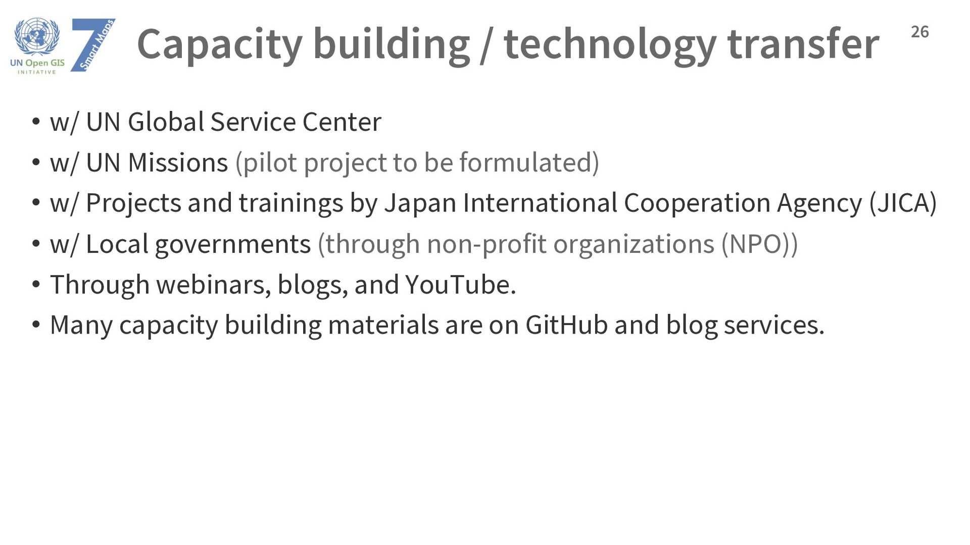
Center • w/ UN Missions (pilot project to be formulated) • w/ Projects and trainings by Japan International Cooperation Agency (JICA) • w/ Local governments (through non-profit organizations (NPO)) • Through webinars, blogs, and YouTube. • Many capacity building materials are on GitHub and blog services. 26
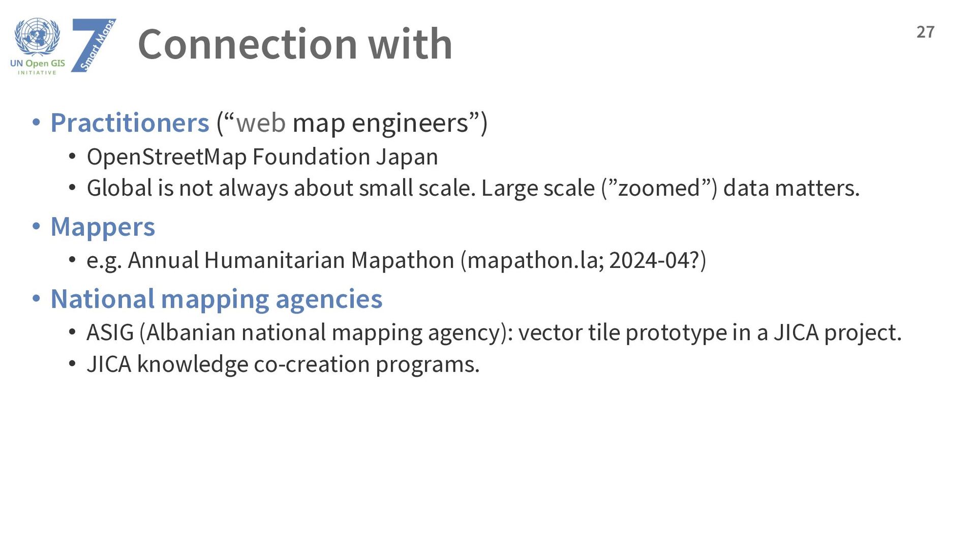
Japan • Global is not always about small scale. Large scale (”zoomed”) data matters. • Mappers • e.g. Annual Humanitarian Mapathon (mapathon.la; 2024-04?) • National mapping agencies • ASIG (Albanian national mapping agency): vector tile prototype in a JICA project. • JICA knowledge co-creation programs. 27
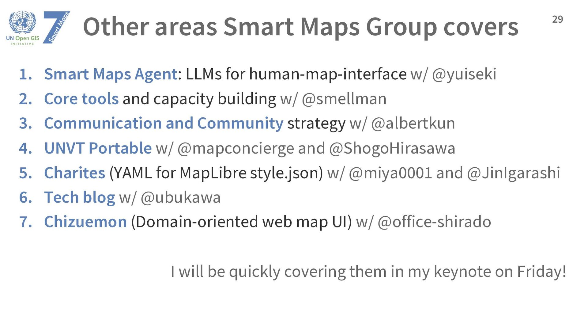
LLMs for human-map-interface w/ @yuiseki 2. Core tools and capacity building w/ @smellman 3. Communication and Community strategy w/ @albertkun 4. UNVT Portable w/ @mapconcierge and @ShogoHirasawa 5. Charites (YAML for MapLibre style.json) w/ @miya0001 and @JinIgarashi 6. Tech blog w/ @ubukawa 7. Chizuemon (Domain-oriented web map UI) w/ @office-shirado I will be quickly covering them in my keynote on Friday! 29