Maps Group, UN Open GIS Initiative Director, Research Planning, Geography and Crustal Dynamics Research Center, Geospatial Information Authority of Japan 2024-02-19T10:00/12:30 (20 min.) @Chiyoda Campus, Hitotsubashi University Geospatial Technology for Multifaceted Crisis: Real-time Crisis Mapping and Long-term Trend Analysis
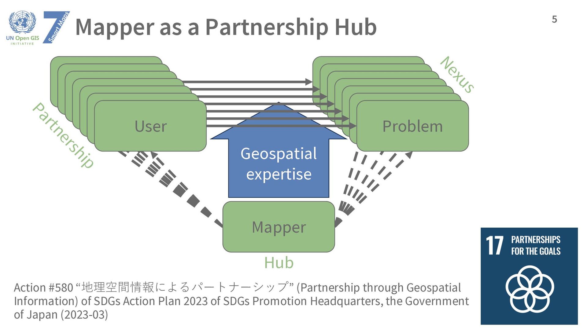
Information) of SDGs Action Plan 2023 of SDGs Promotion Headquarters, the Government of Japan (2023-03) 4 User Problem Mapper Geospatial expertise Solve Understand Understand
expertise Client Problem Client Problem Client Problem Client Problem Client Problem User Problem Nexus Partnership Hub Action #580 “地理空間情報によるパートナーシップ” (Partnership through Geospatial Information) of SDGs Action Plan 2023 of SDGs Promotion Headquarters, the Government of Japan (2023-03)
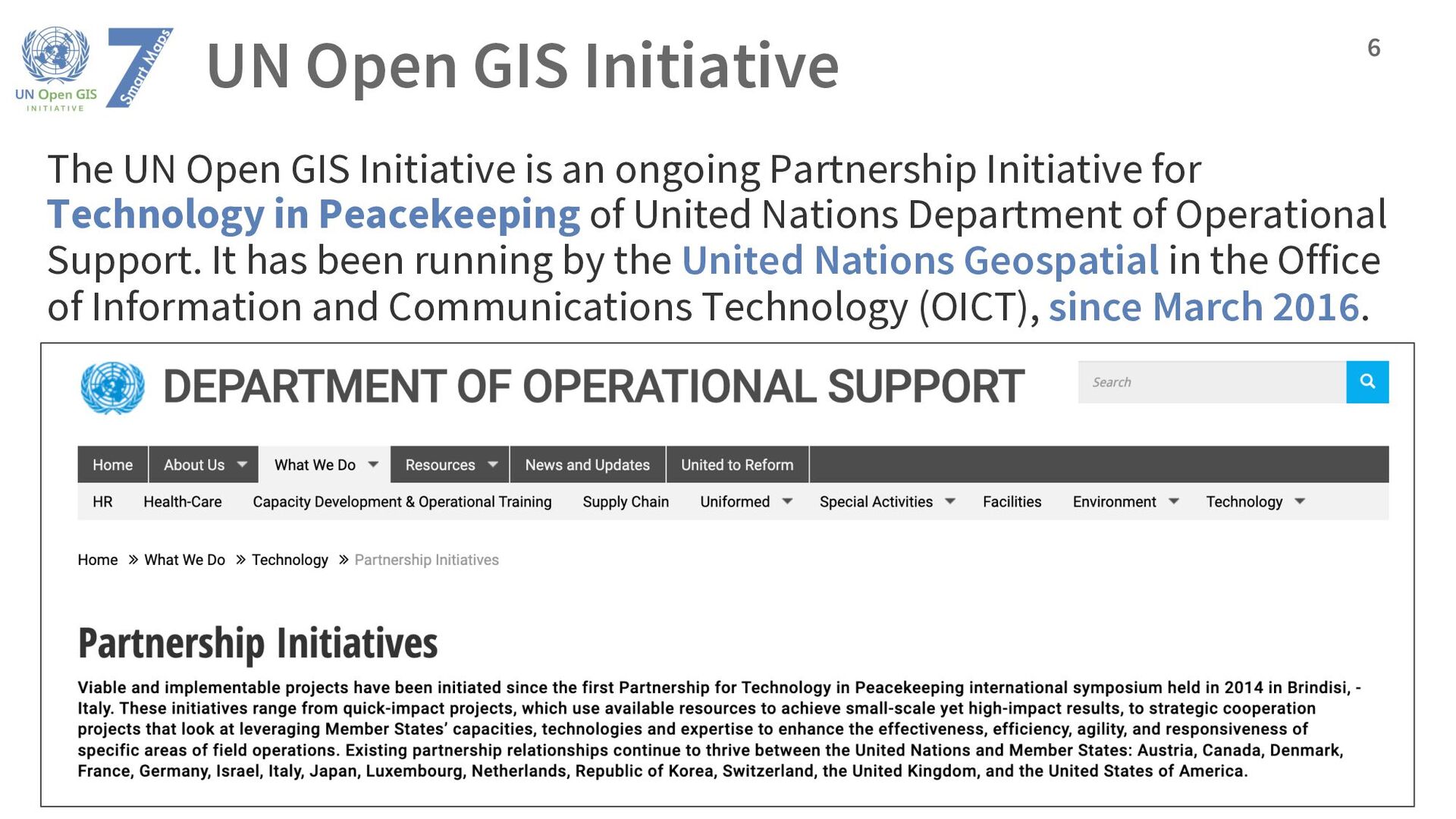
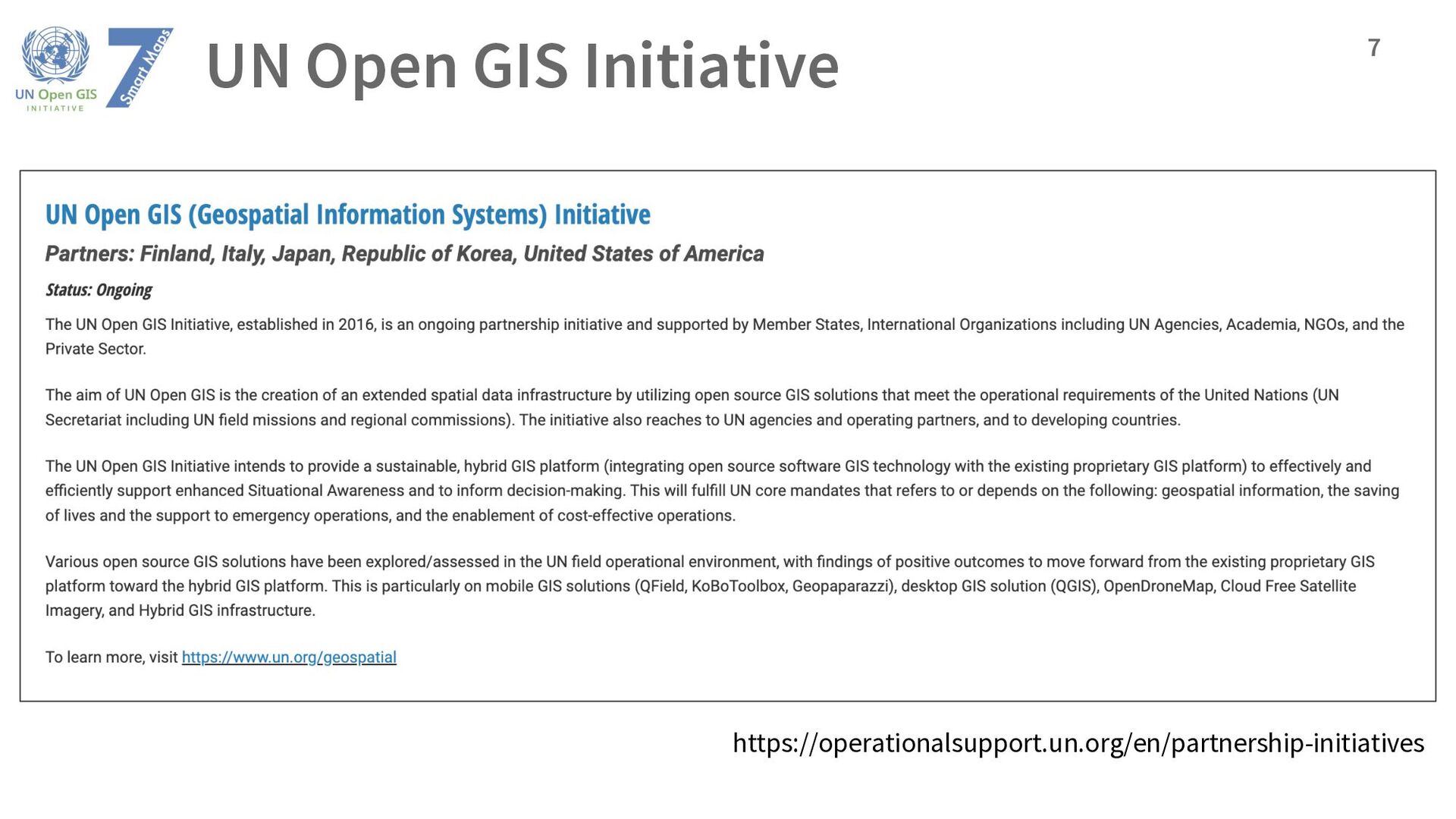
an ongoing Partnership Initiative for Technology in Peacekeeping of United Nations Department of Operational Support. It has been running by the United Nations Geospatial in the Office of Information and Communications Technology (OICT), since March 2016. 6
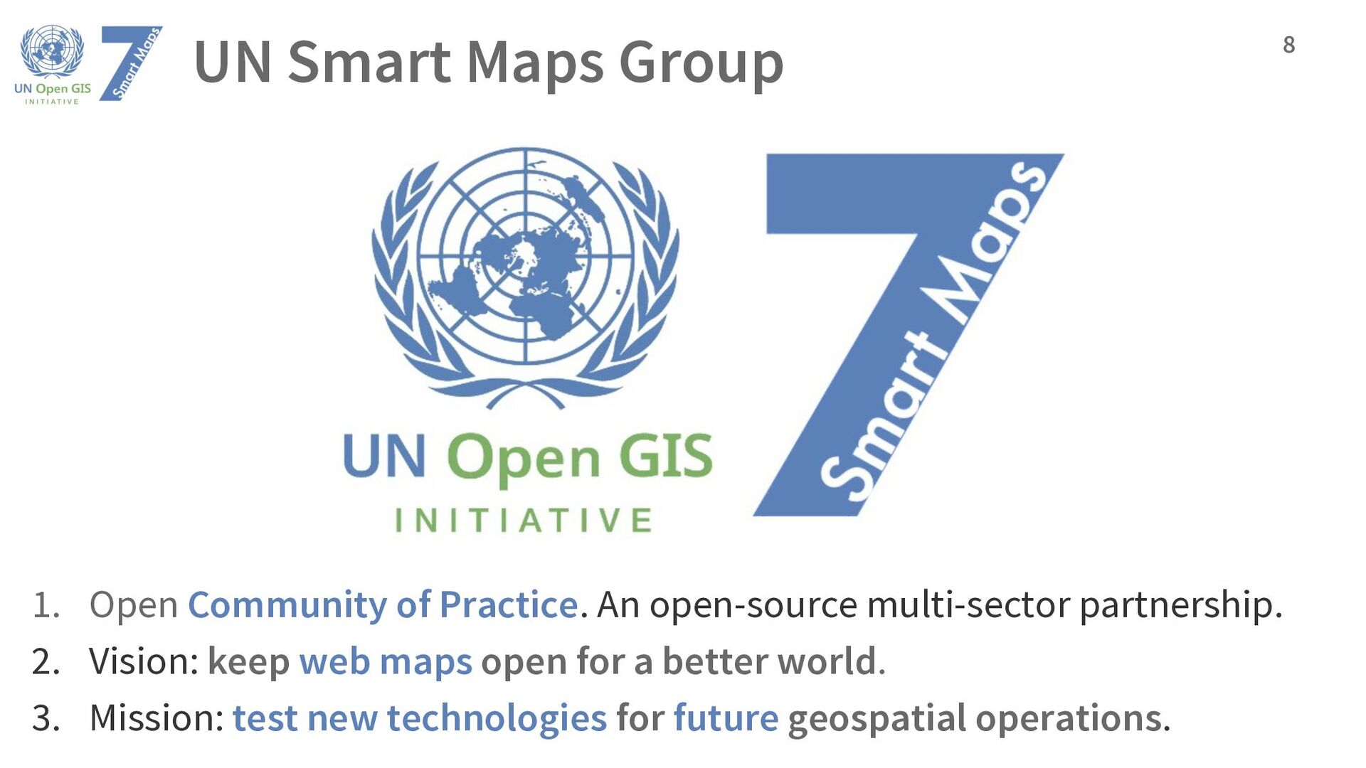
open-source multi-sector partnership. 2. Vision: keep web maps open for a better world. 3. Mission: test new technologies for future geospatial operations. 8
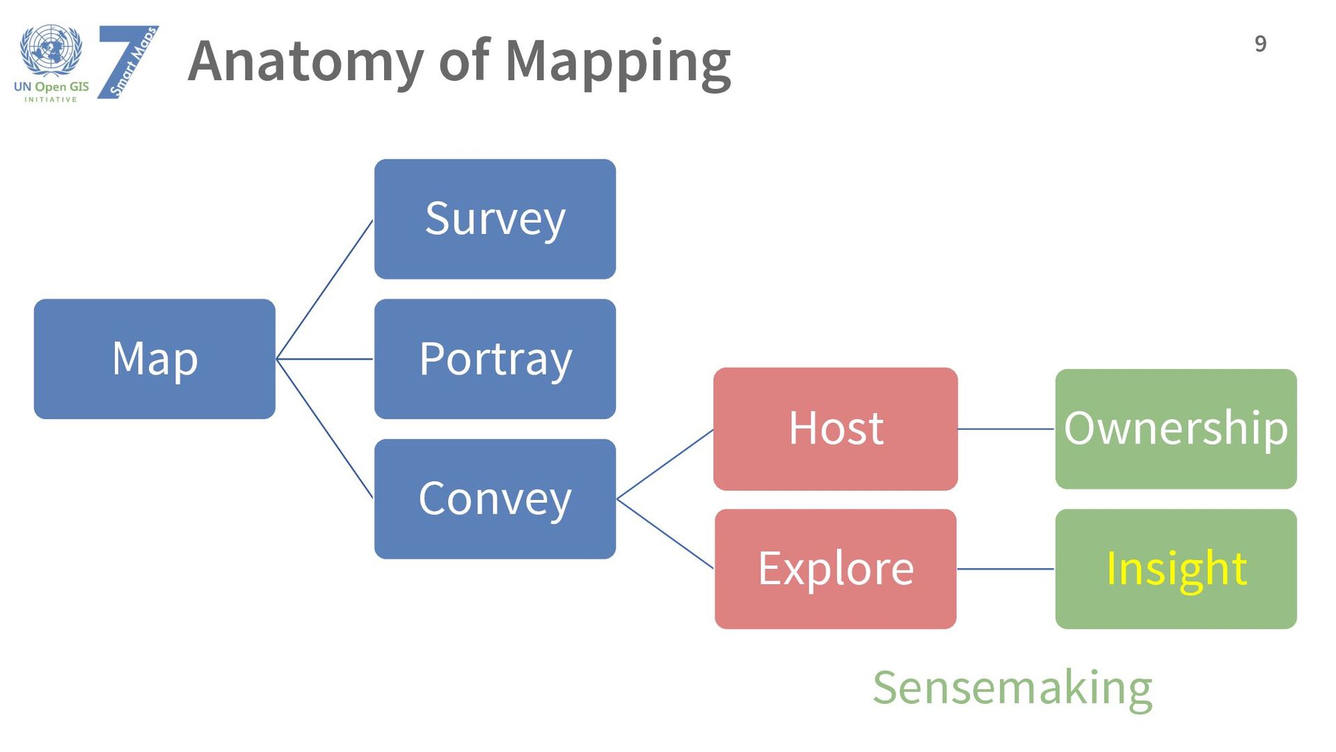
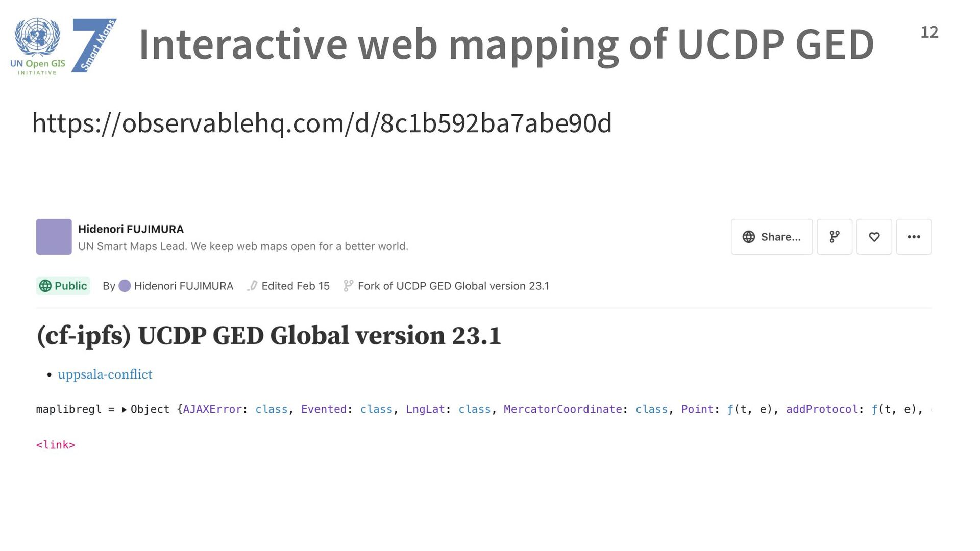
is insight, not a picture. (Ben Shneiderman) • Someone must explore the data to create insight. • Smart Maps Group uses interactive visualization and large language models (LLMs). 10 We use existing web-based data visualization platform Observable.
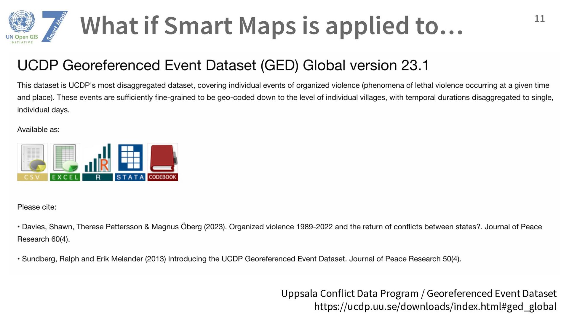
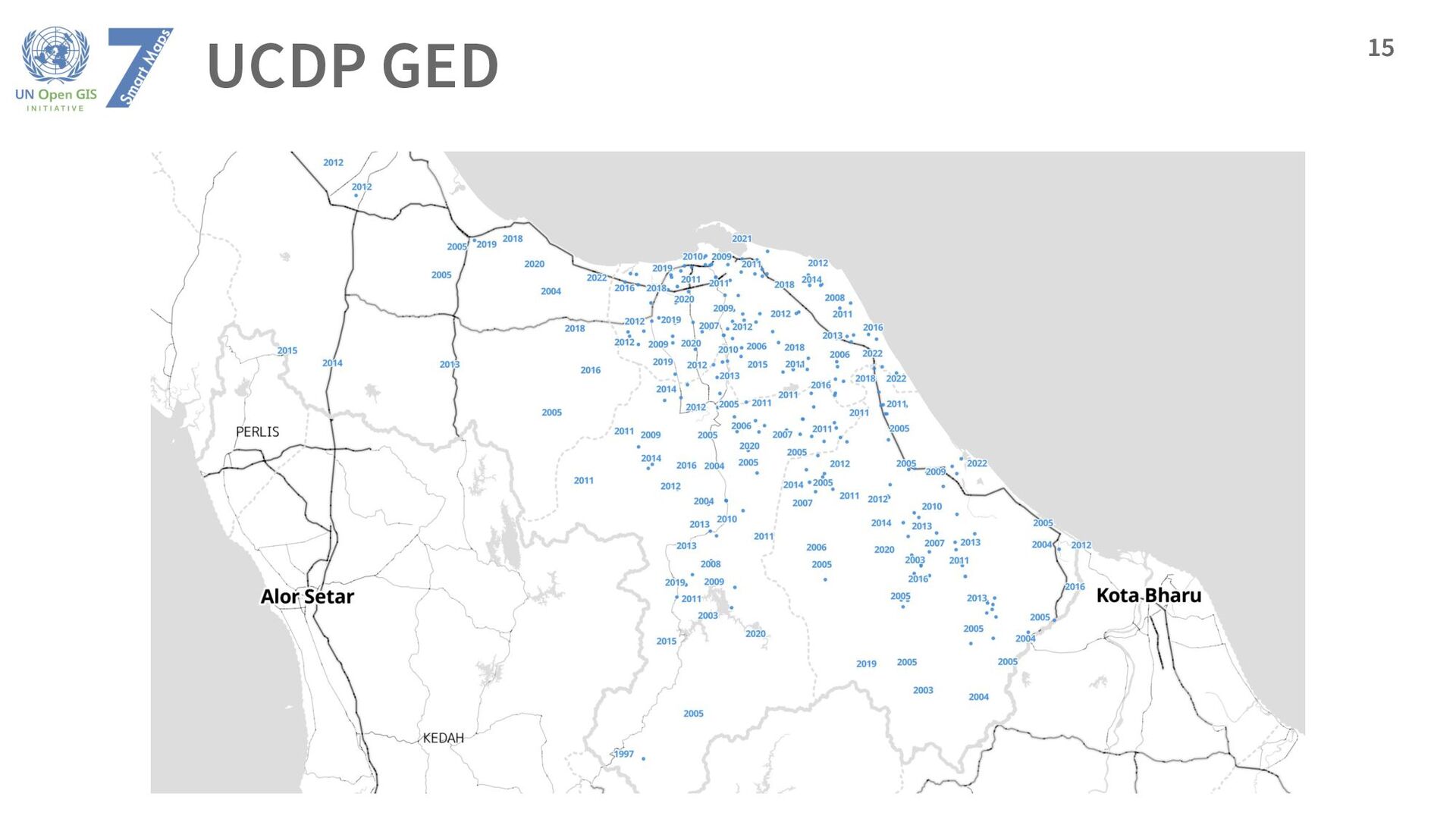
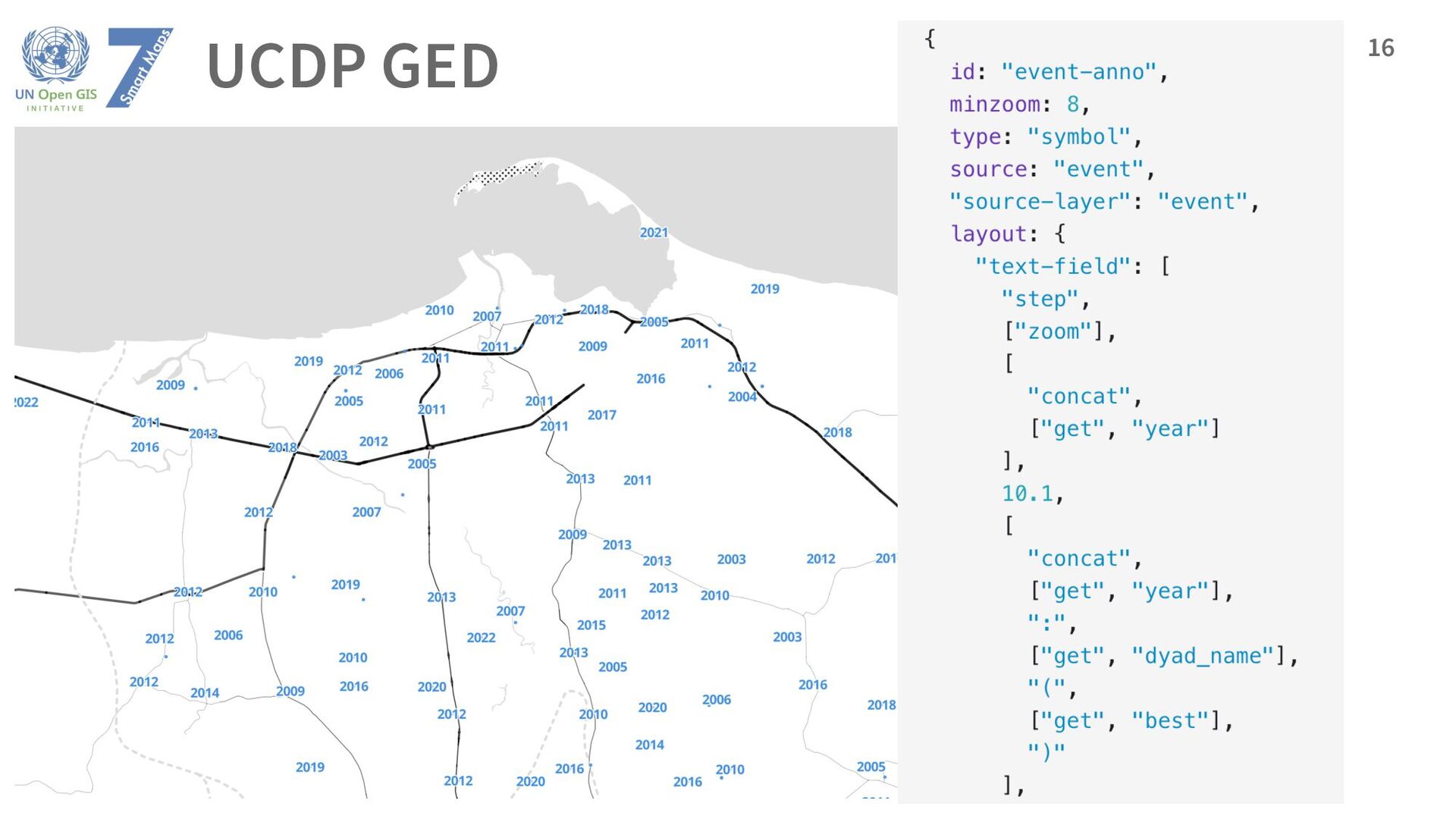
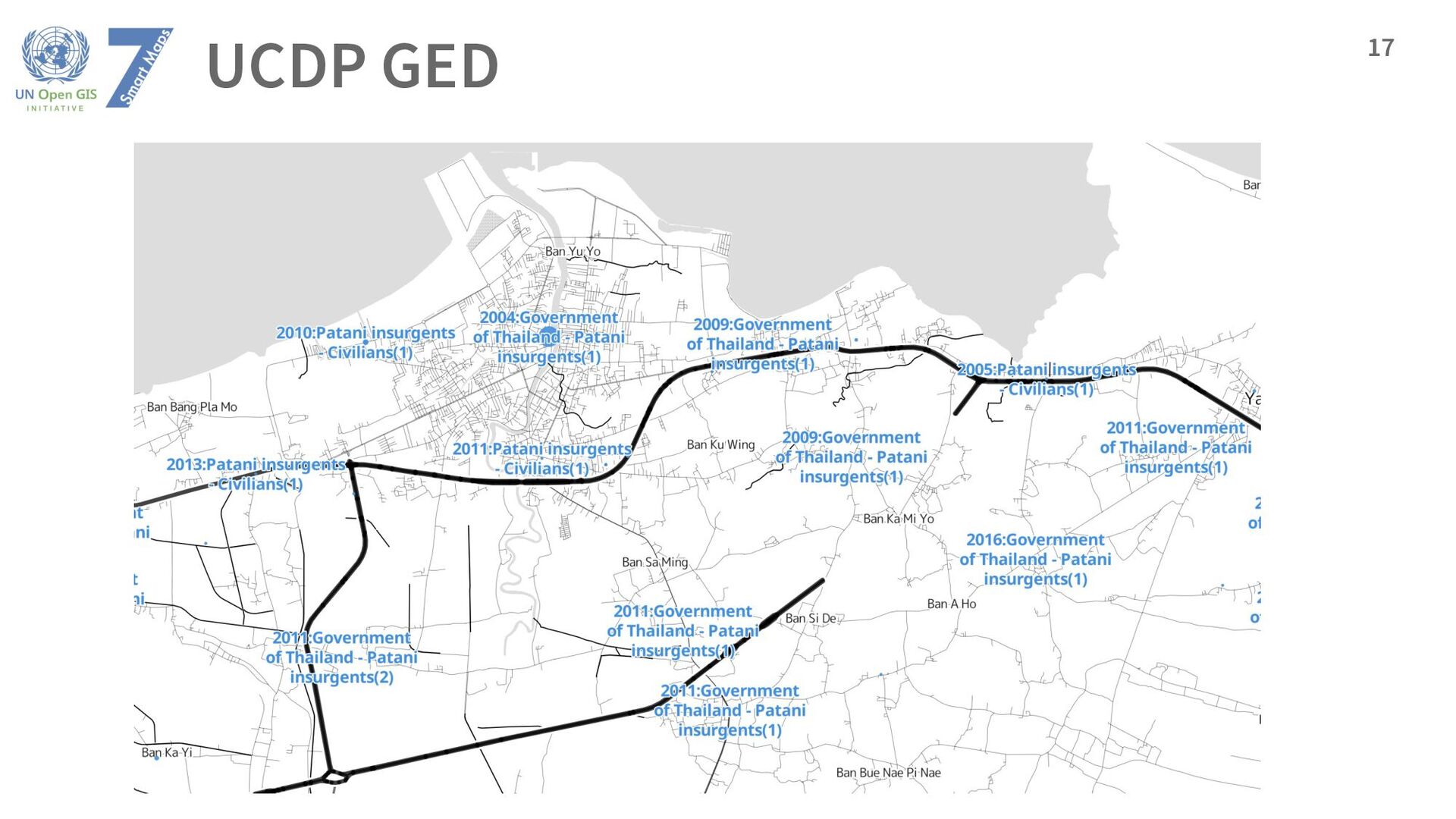
& Magnus Öberg (2023). Organized violence 1989-2022 and the return of conflicts between states?. Journal of Peace Research 60(4). Sundberg, Ralph and Erik Melander (2013). Introducing the UCDP Georeferenced Event Dataset. Journal of Peace Research 50(4).
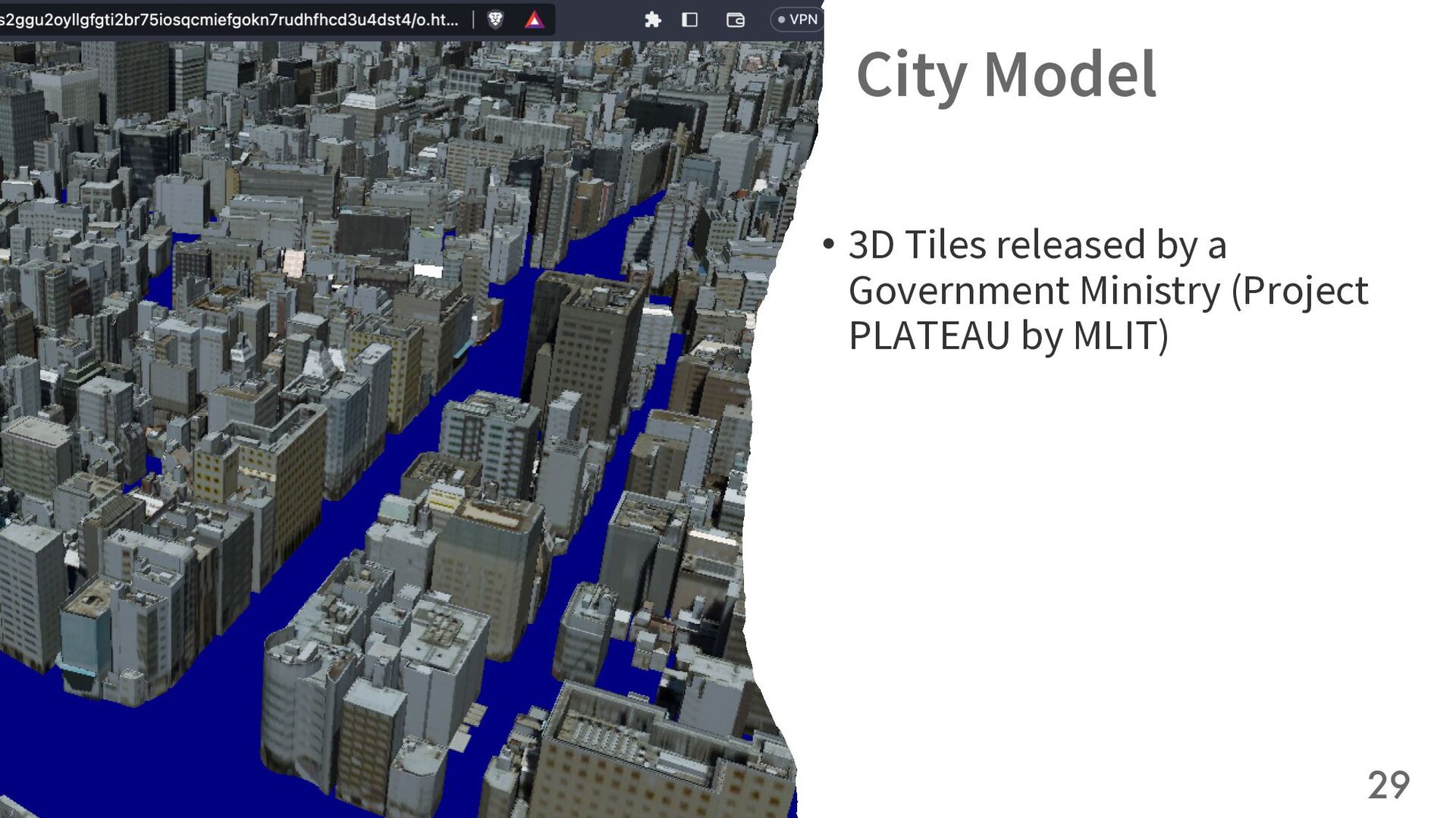
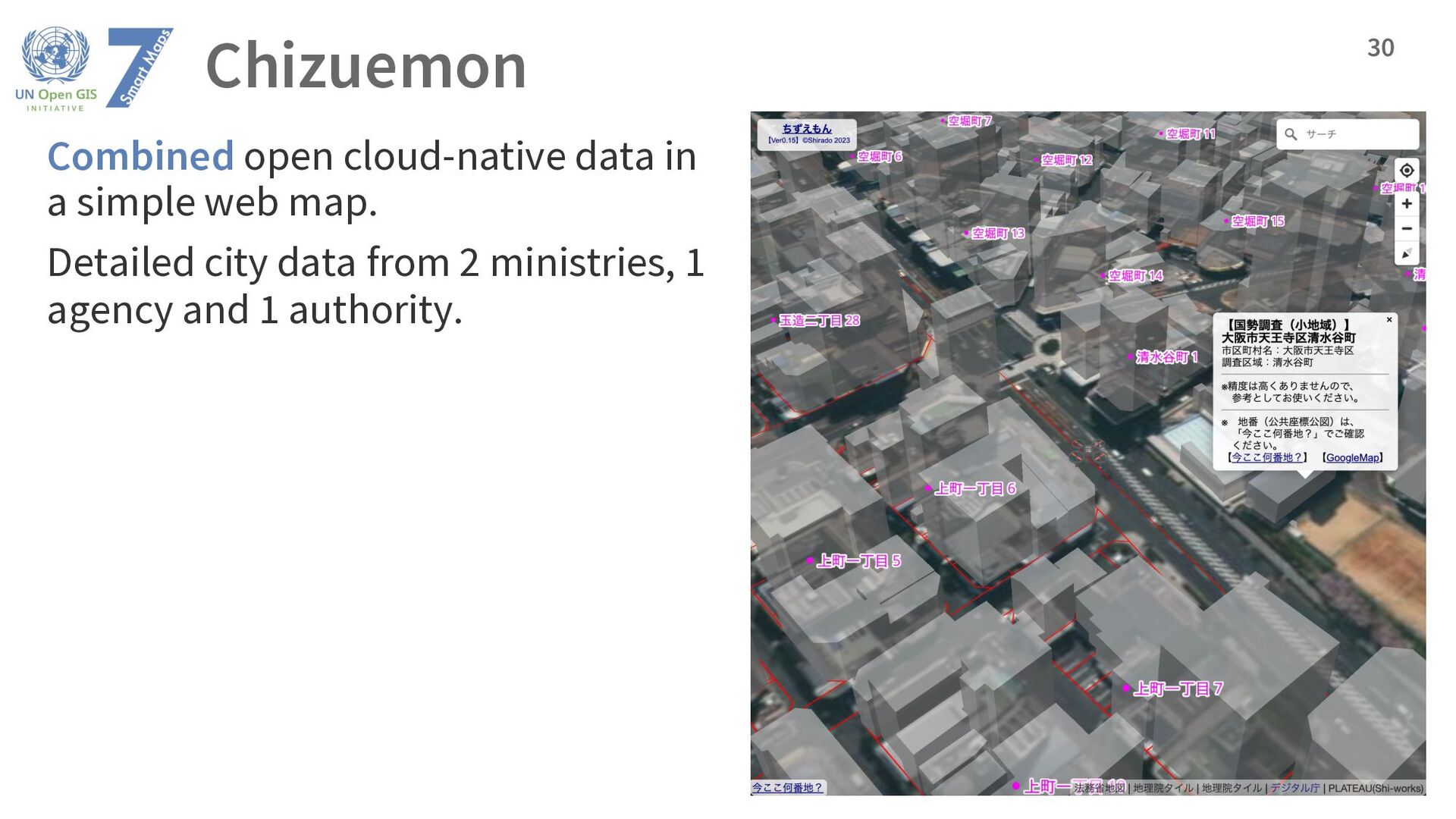