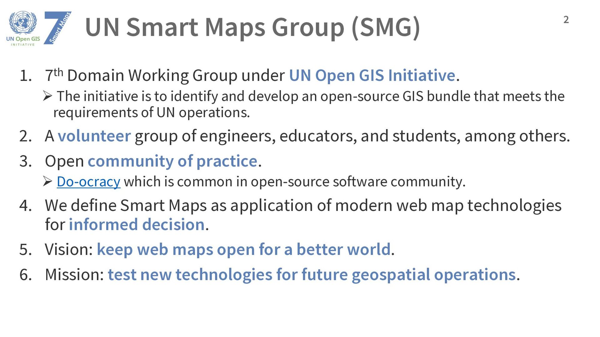
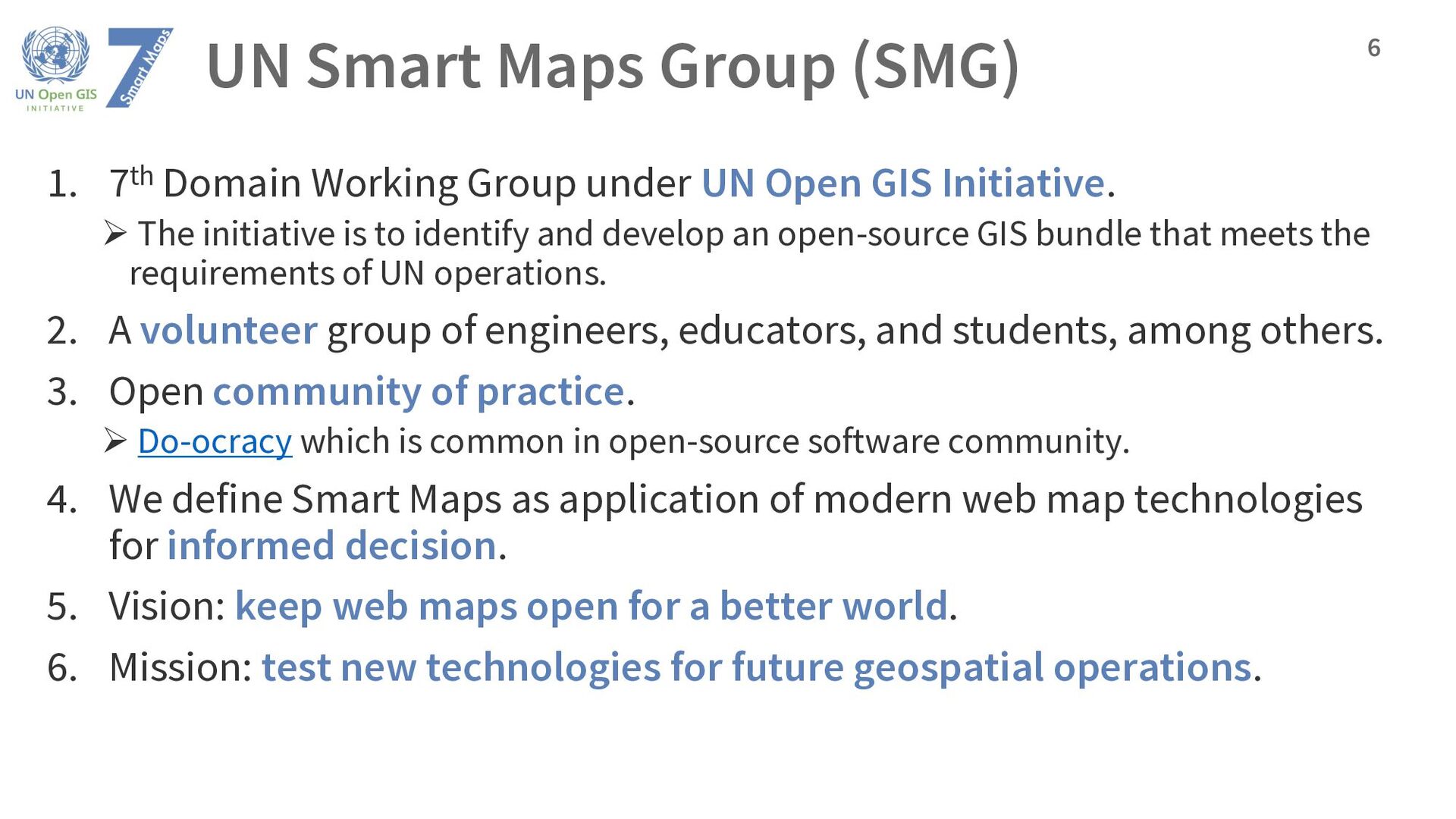
under UN Open GIS Initiative. Ø The initiative is to identify and develop an open-source GIS bundle that meets the requirements of UN operations. 2. A volunteer group of engineers, educators, and students, among others. 3. Open community of practice. Ø Do-ocracy which is common in open-source software community. 4. We define Smart Maps as application of modern web map technologies for informed decision. 5. Vision: keep web maps open for a better world. 6. Mission: test new technologies for future geospatial operations. 2
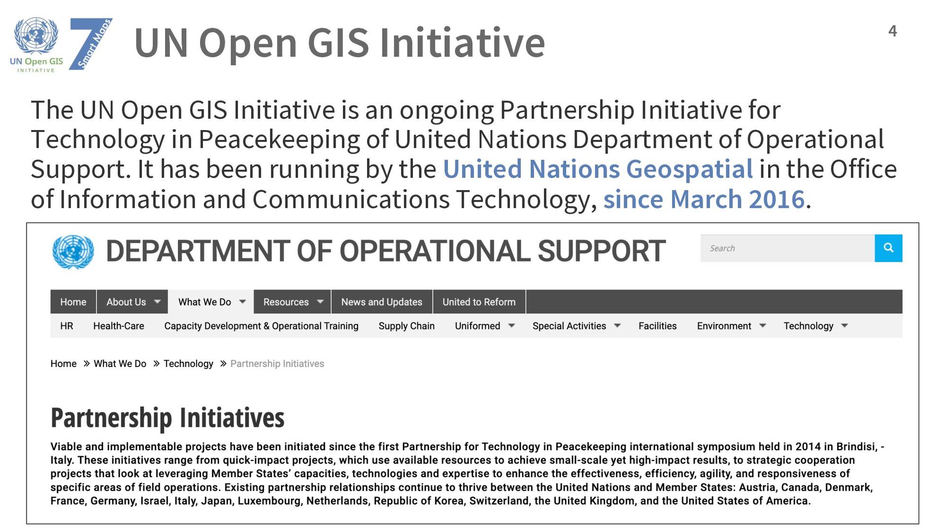
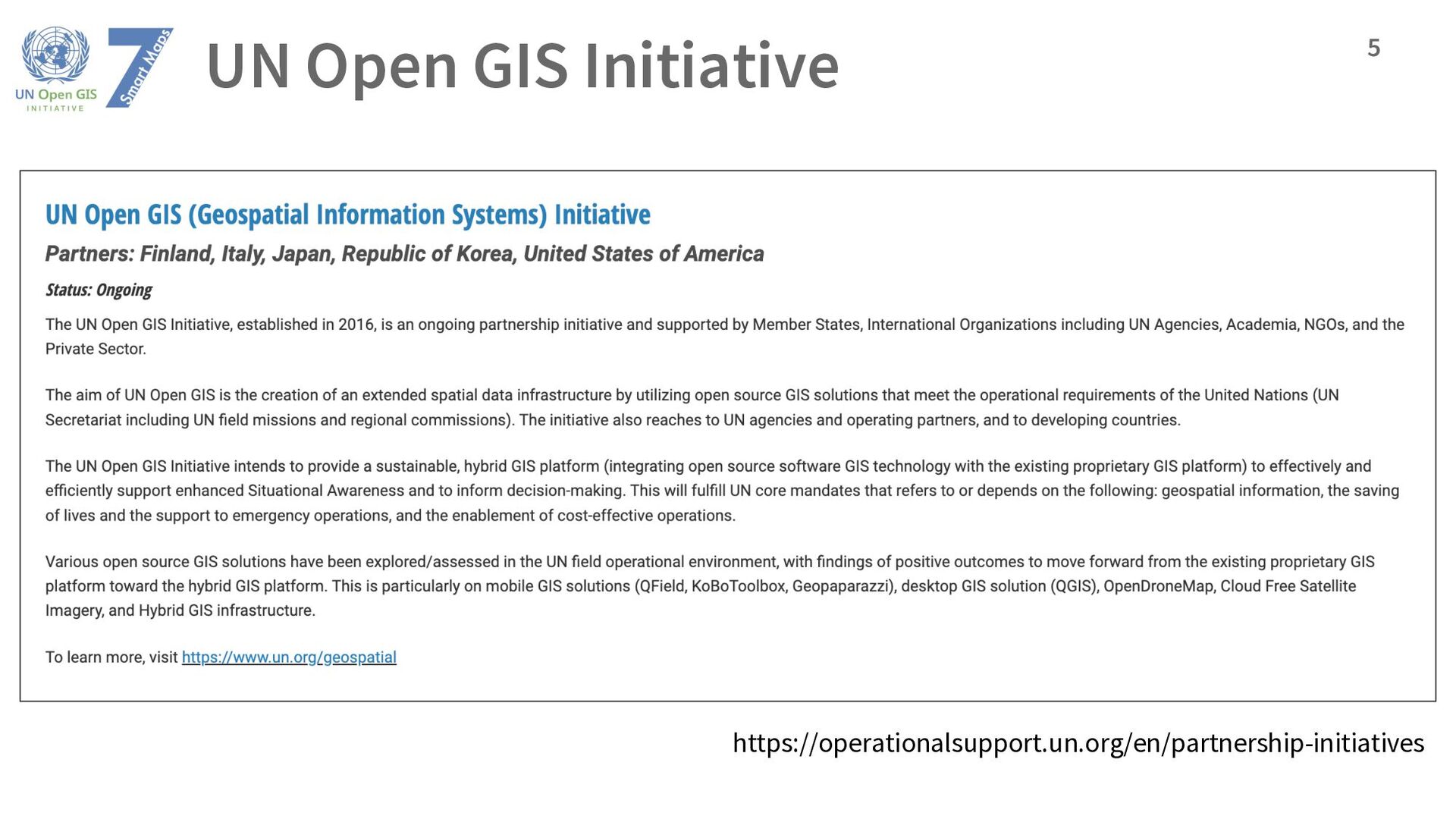
an ongoing Partnership Initiative for Technology in Peacekeeping of United Nations Department of Operational Support. It has been running by the United Nations Geospatial in the Office of Information and Communications Technology, since March 2016. 4
under UN Open GIS Initiative. Ø The initiative is to identify and develop an open-source GIS bundle that meets the requirements of UN operations. 2. A volunteer group of engineers, educators, and students, among others. 3. Open community of practice. Ø Do-ocracy which is common in open-source software community. 4. We define Smart Maps as application of modern web map technologies for informed decision. 5. Vision: keep web maps open for a better world. 6. Mission: test new technologies for future geospatial operations. 6
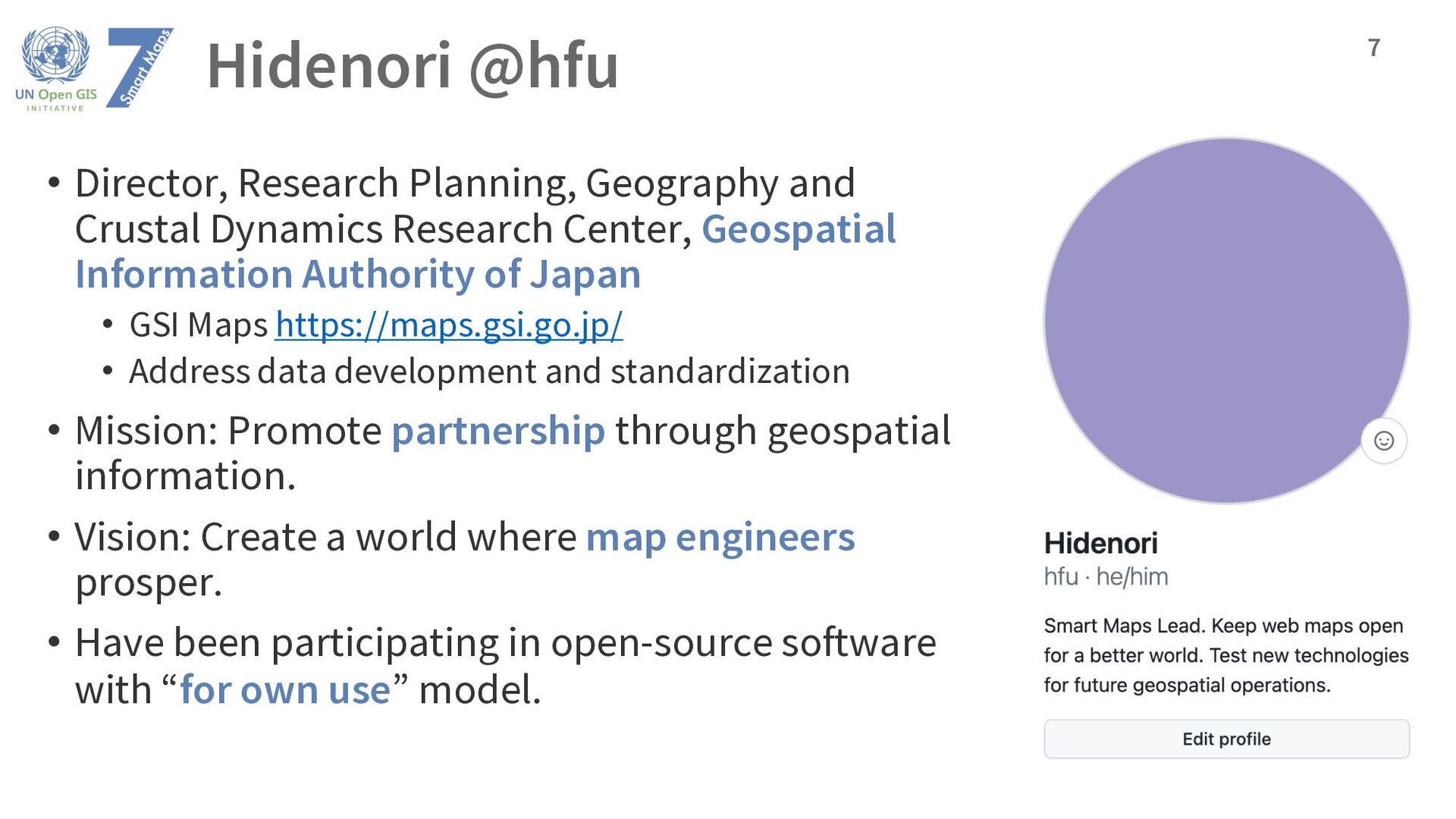
Research Center, Geospatial Information Authority of Japan • GSI Maps https://maps.gsi.go.jp/ • Address data development and standardization • Mission: Promote partnership through geospatial information. • Vision: Create a world where map engineers prosper. • Have been participating in open-source software with “for own use” model. 7
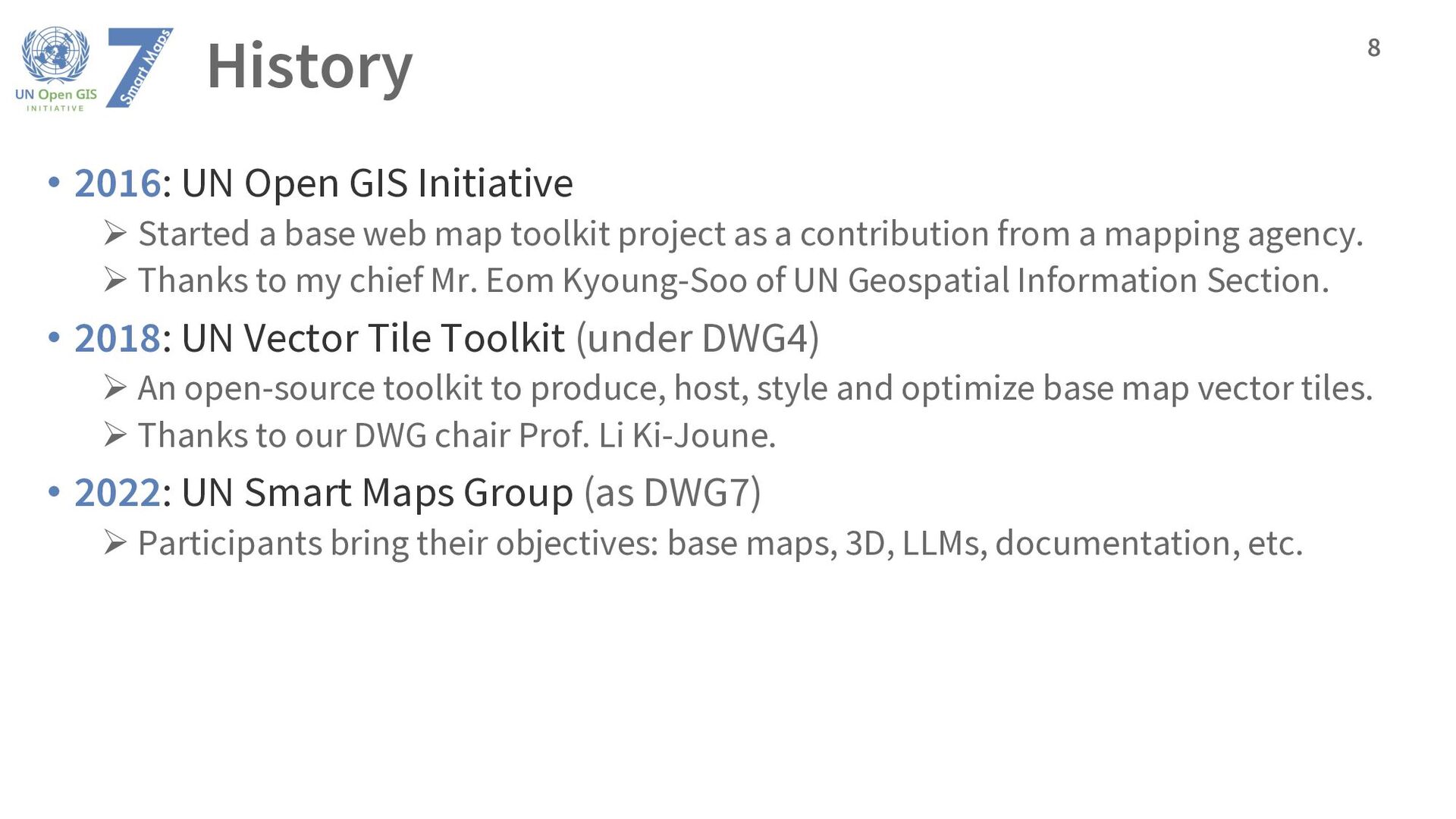
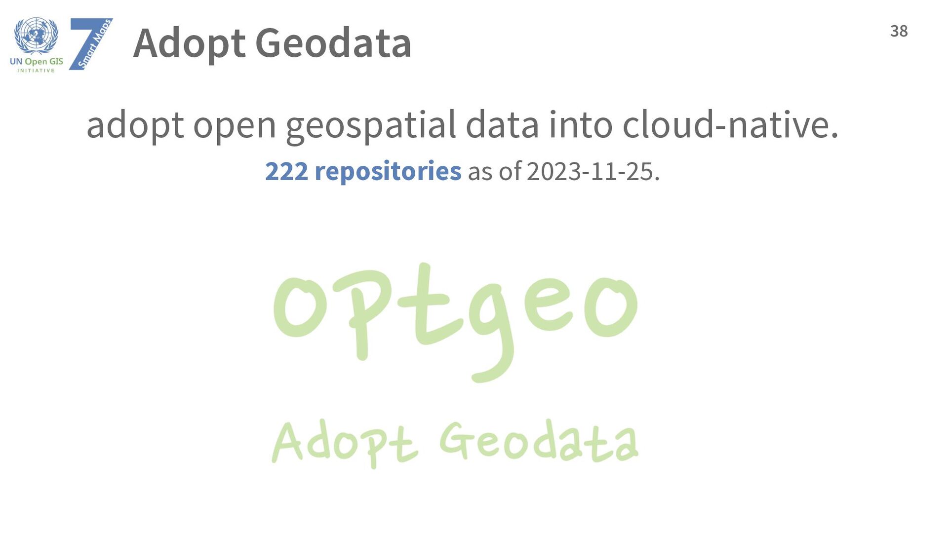
base web map toolkit project as a contribution from a mapping agency. Ø Thanks to my chief Mr. Eom Kyoung-Soo of UN Geospatial Information Section. • 2018: UN Vector Tile Toolkit (under DWG4) Ø An open-source toolkit to produce, host, style and optimize base map vector tiles. Ø Thanks to our DWG chair Prof. Li Ki-Joune. • 2022: UN Smart Maps Group (as DWG7) Ø Participants bring their objectives: base maps, 3D, LLMs, documentation, etc. 8
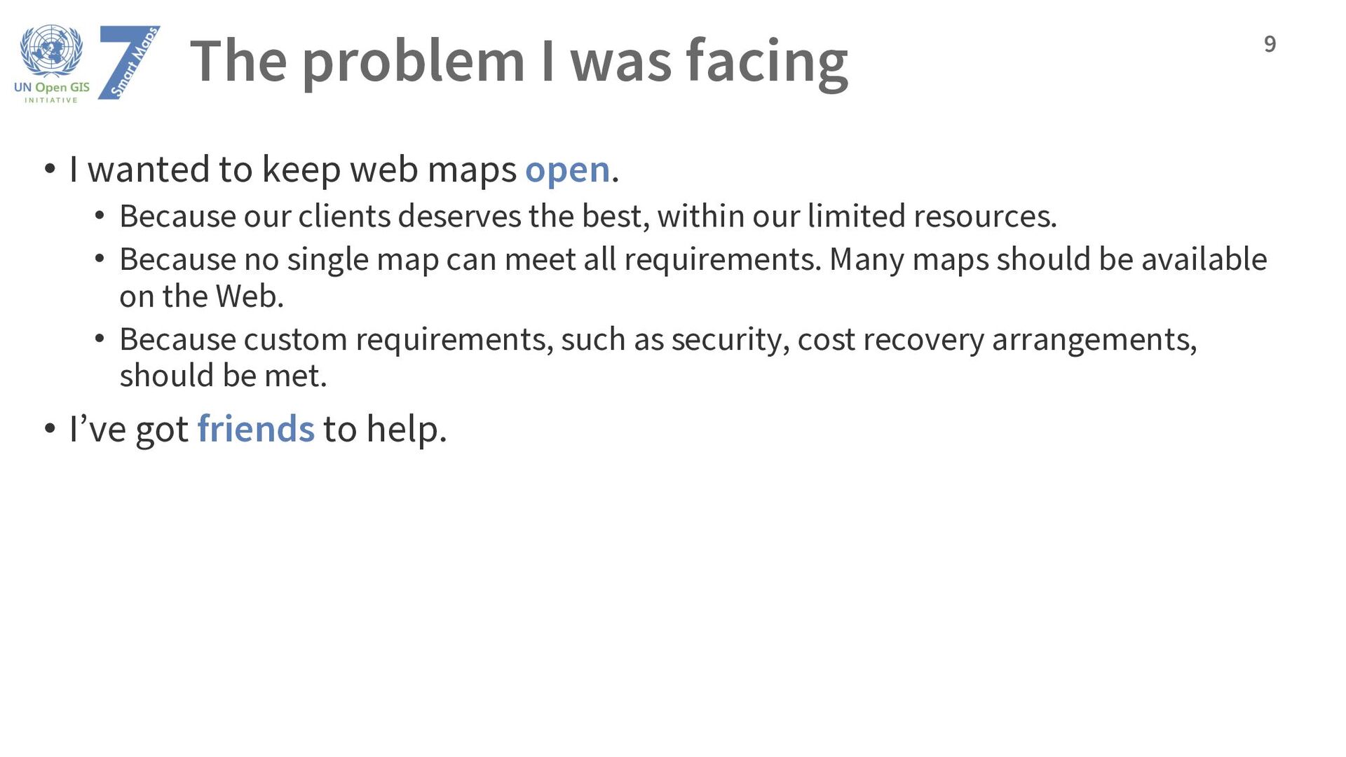
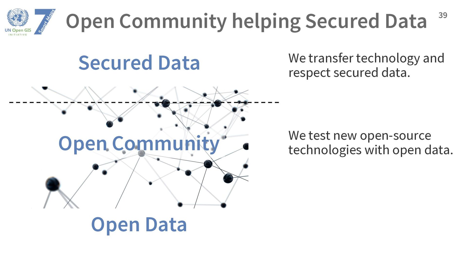
web maps open. • Because our clients deserves the best, within our limited resources. • Because no single map can meet all requirements. Many maps should be available on the Web. • Because custom requirements, such as security, cost recovery arrangements, should be met. • I’ve got friends to help. 9
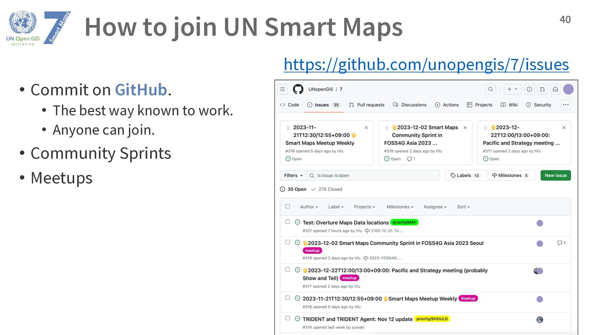
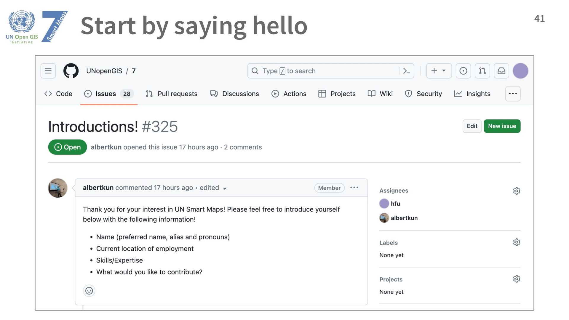
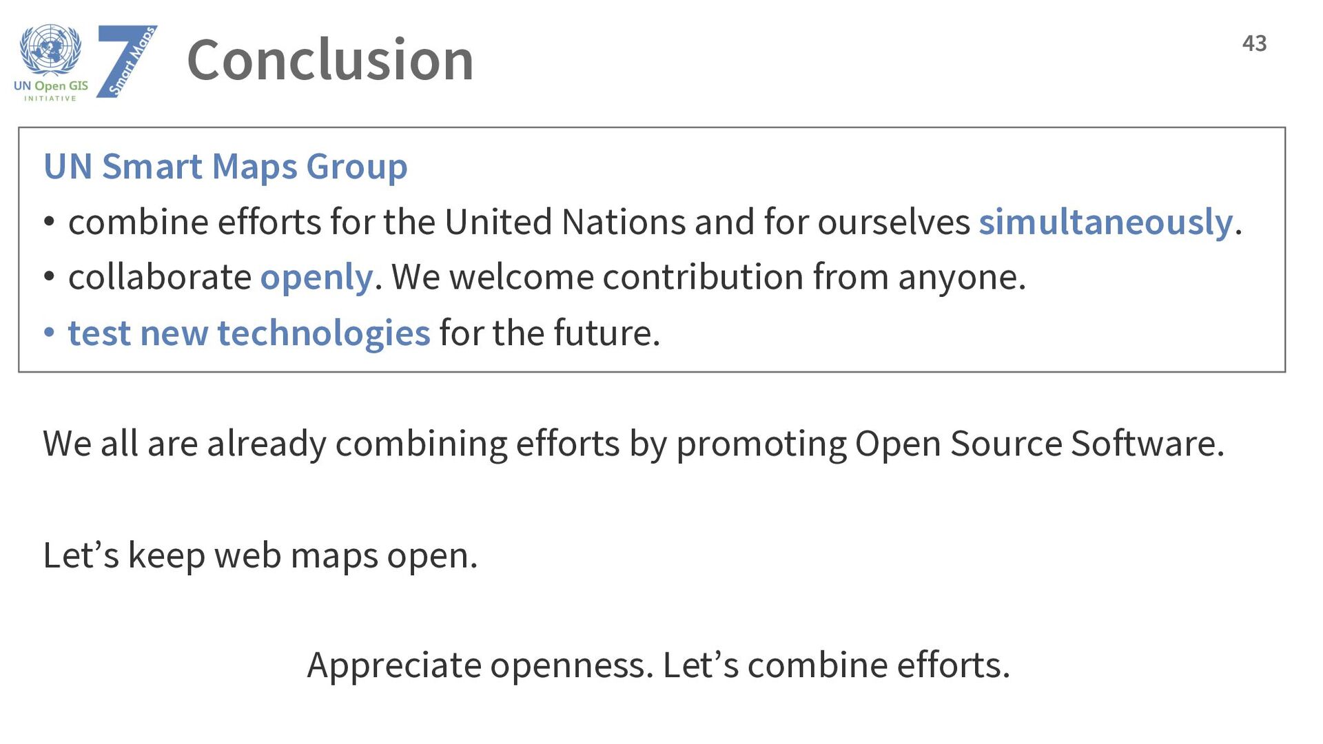
United Nations and for ourselves simultaneously. • collaborate openly. We welcome contribution from anyone. • test new technologies for the future. We all are already combining efforts by promoting Open Source Software. Let’s keep web maps open. Appreciate openness. Let’s combine efforts. 43